


Hutwisch circular hiking trail

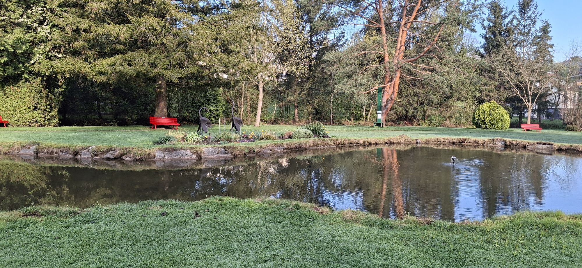

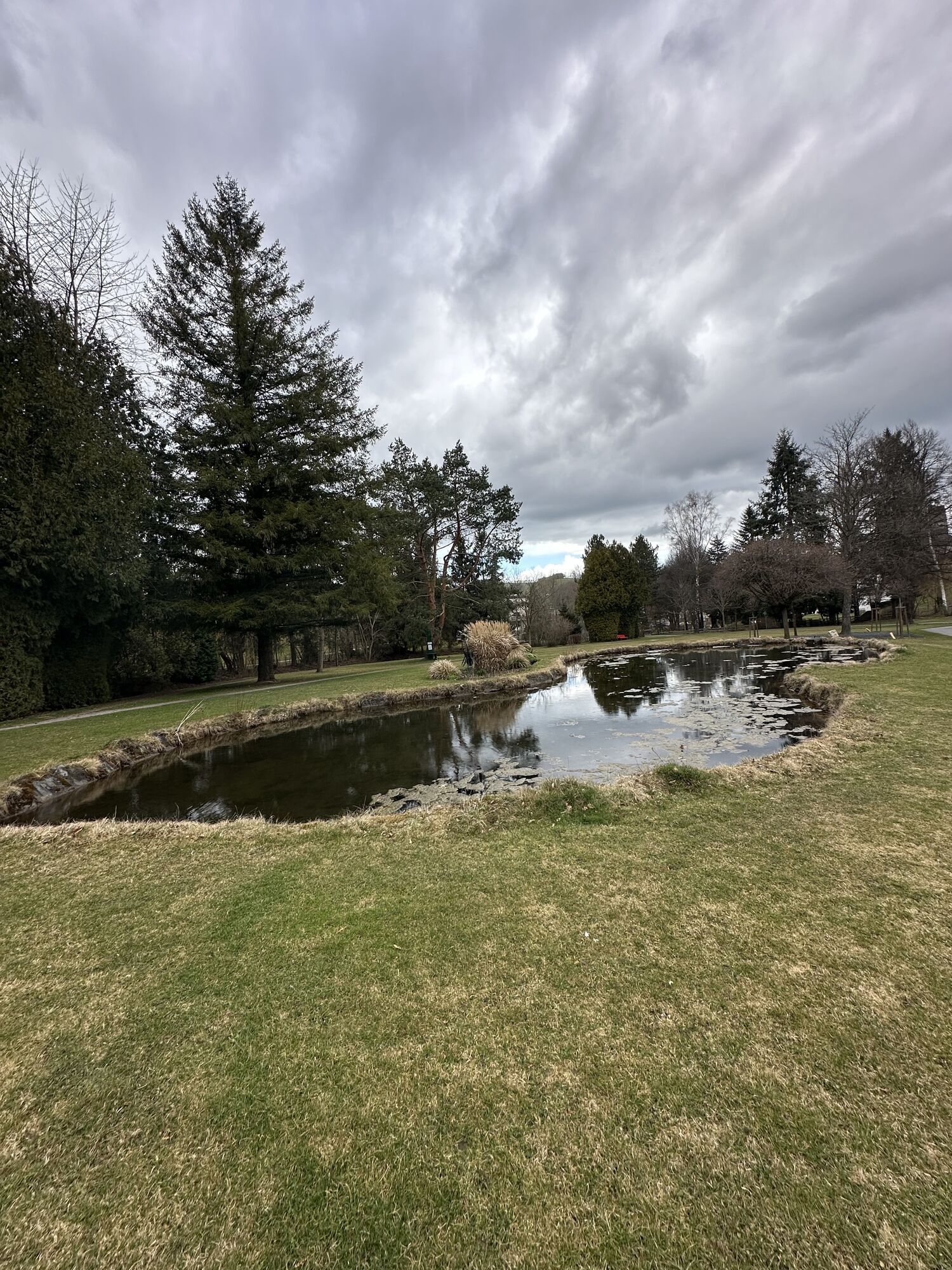
This combination of various hiking trails to Hutwisch starts in the center of Bad Schönau, passes the Sconarium, and through the lovingly maintained spa park. It continues with a longer forest section....
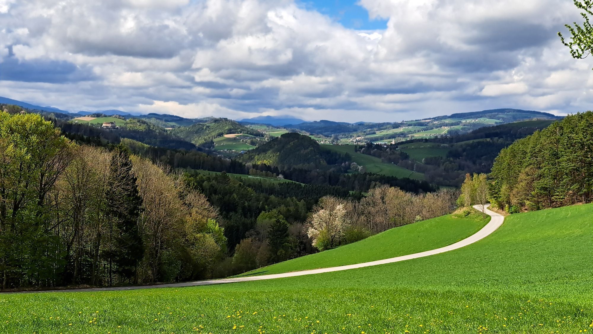
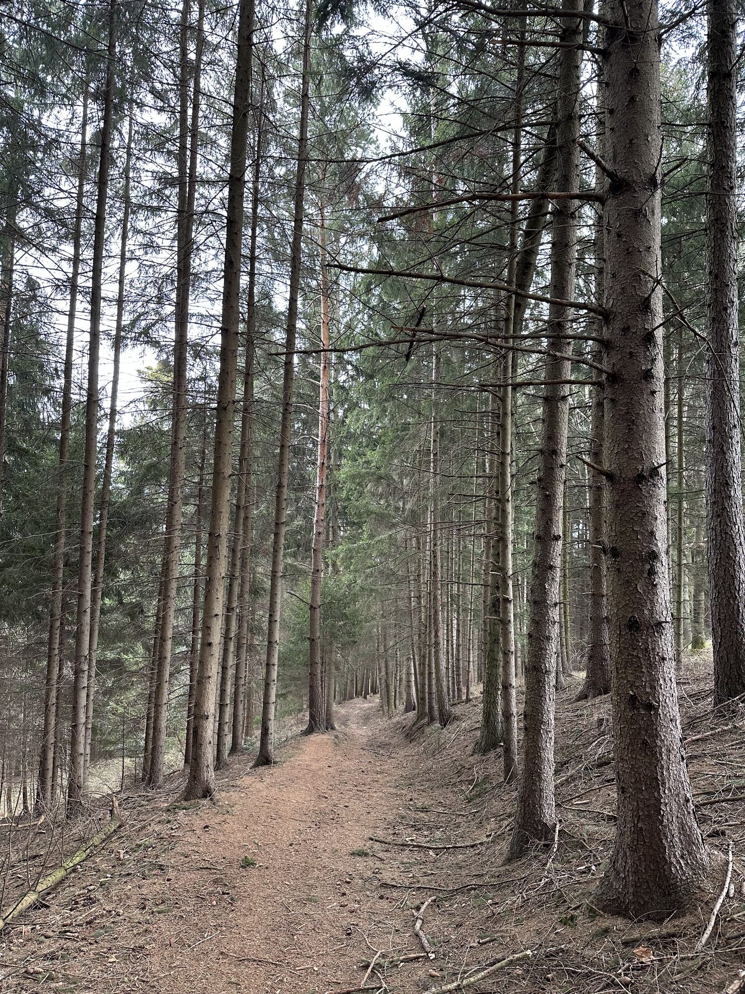
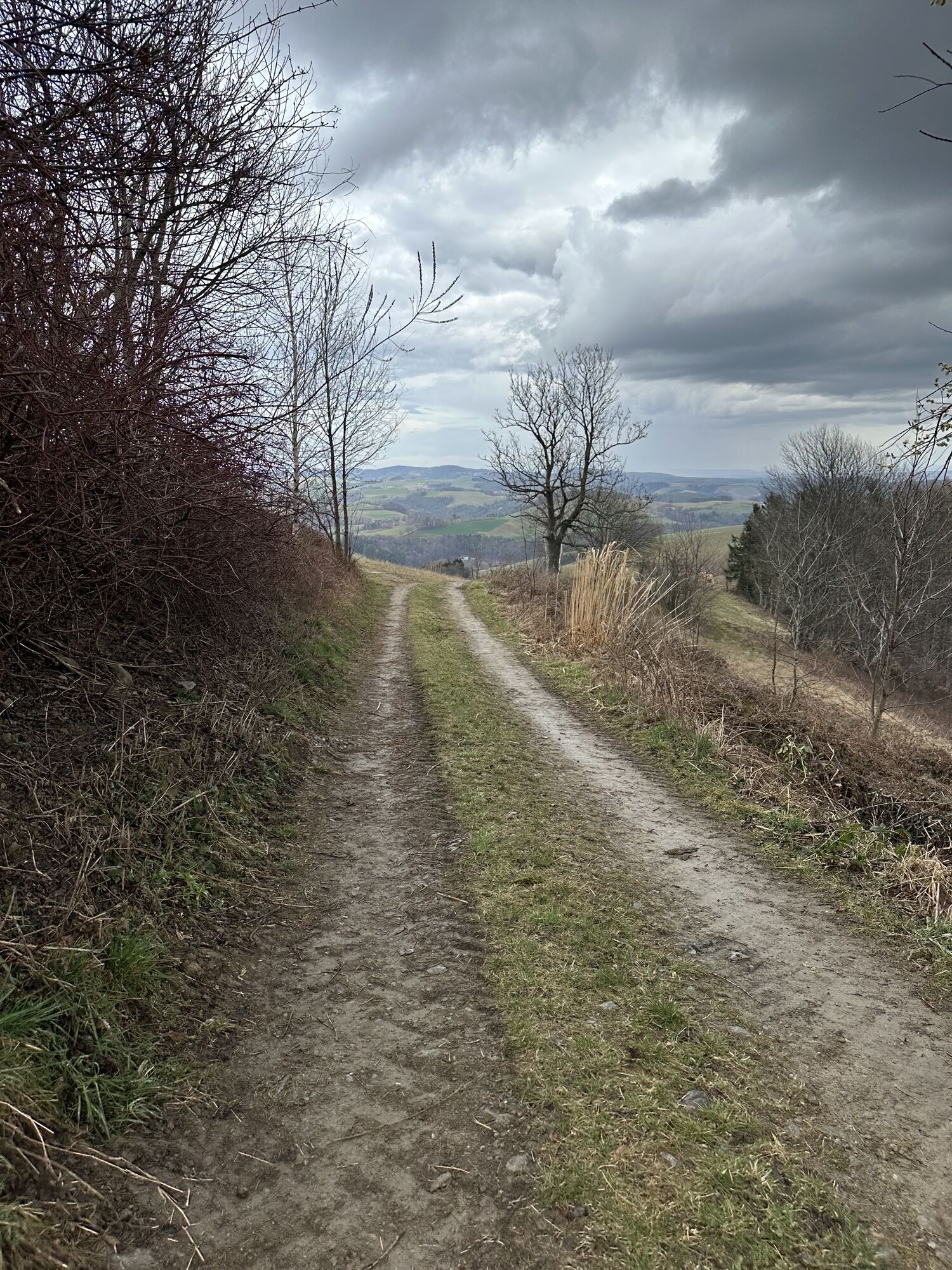
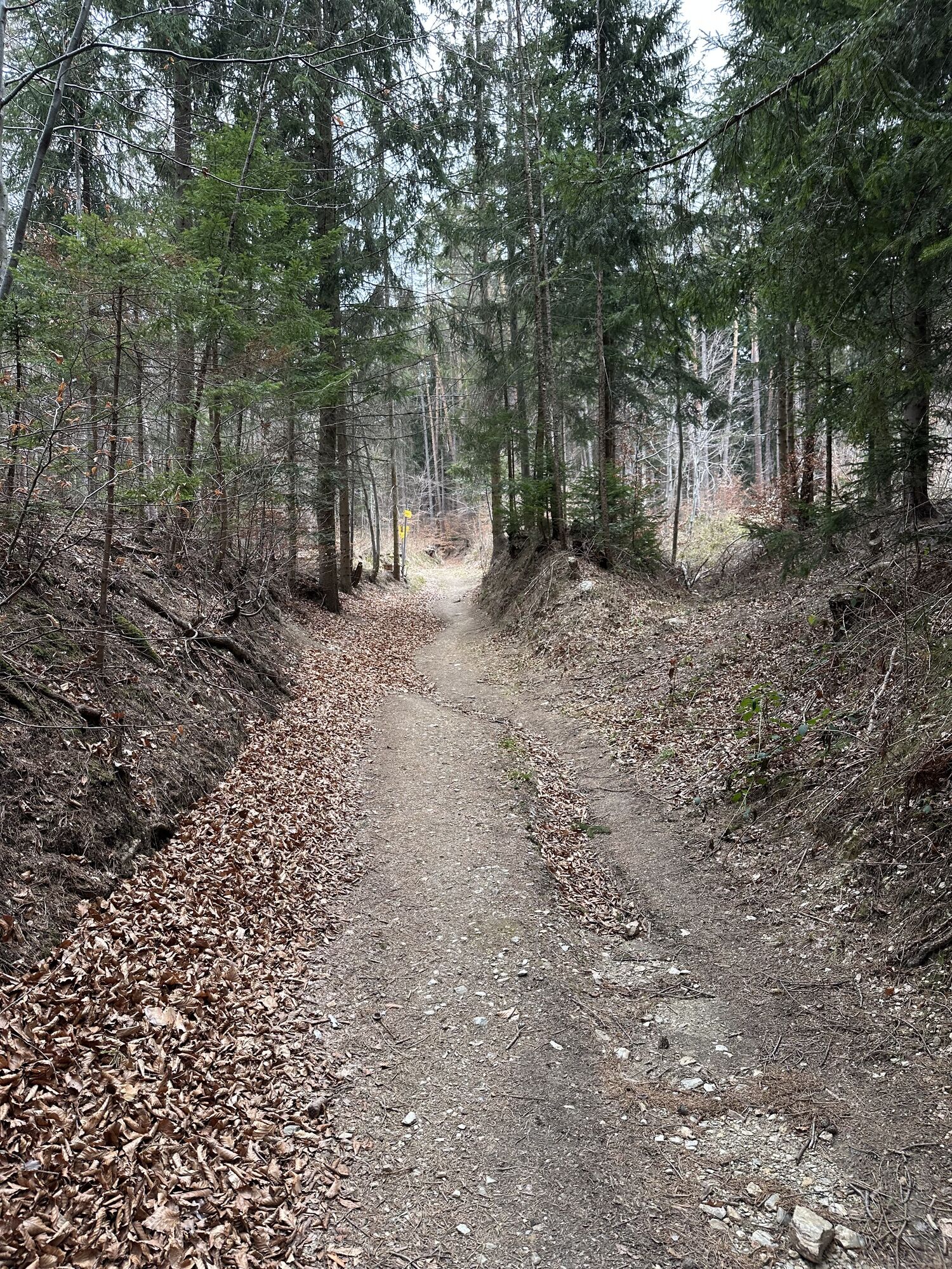
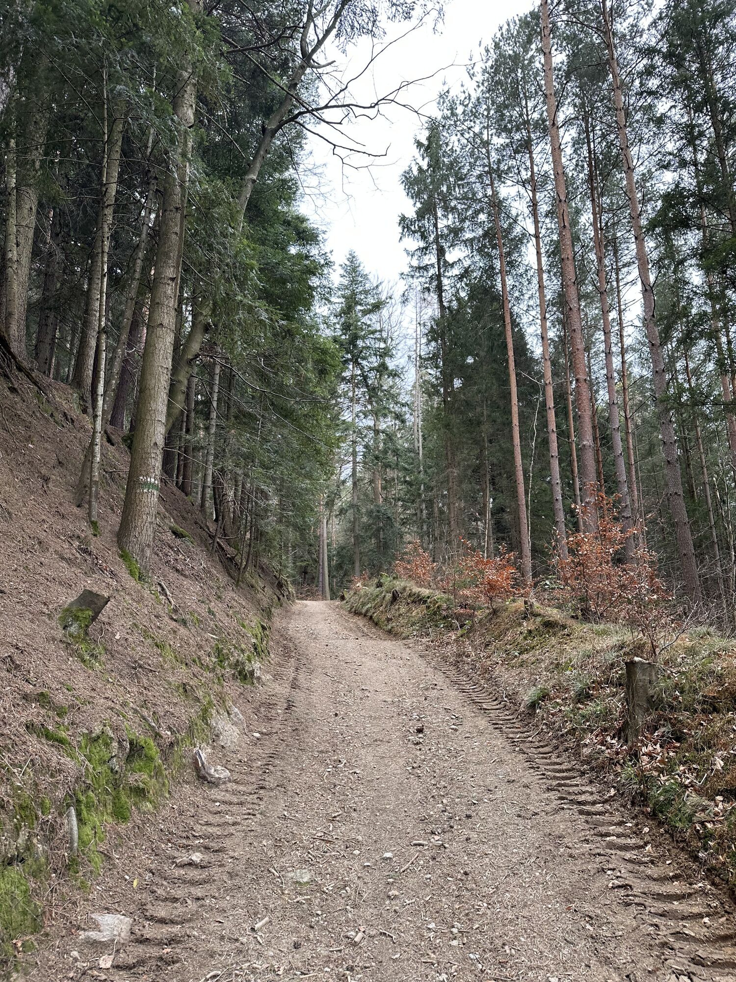
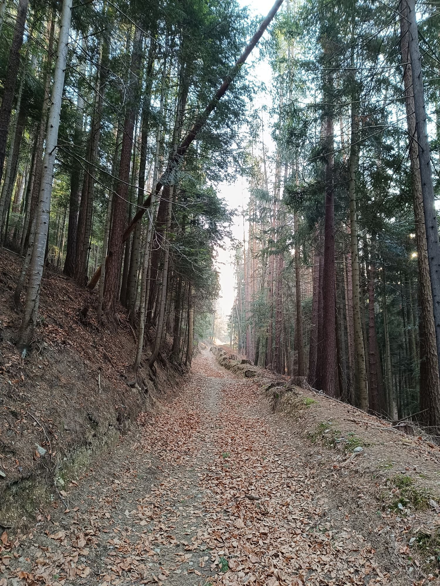
This combination of various hiking trails to Hutwisch starts in the center of Bad Schönau, passes the Sconarium, and through the lovingly maintained spa park. It continues with a longer forest section. Shortly before reaching the highest point, at almost 900m, the path becomes more demanding through the forest, but this section is short.
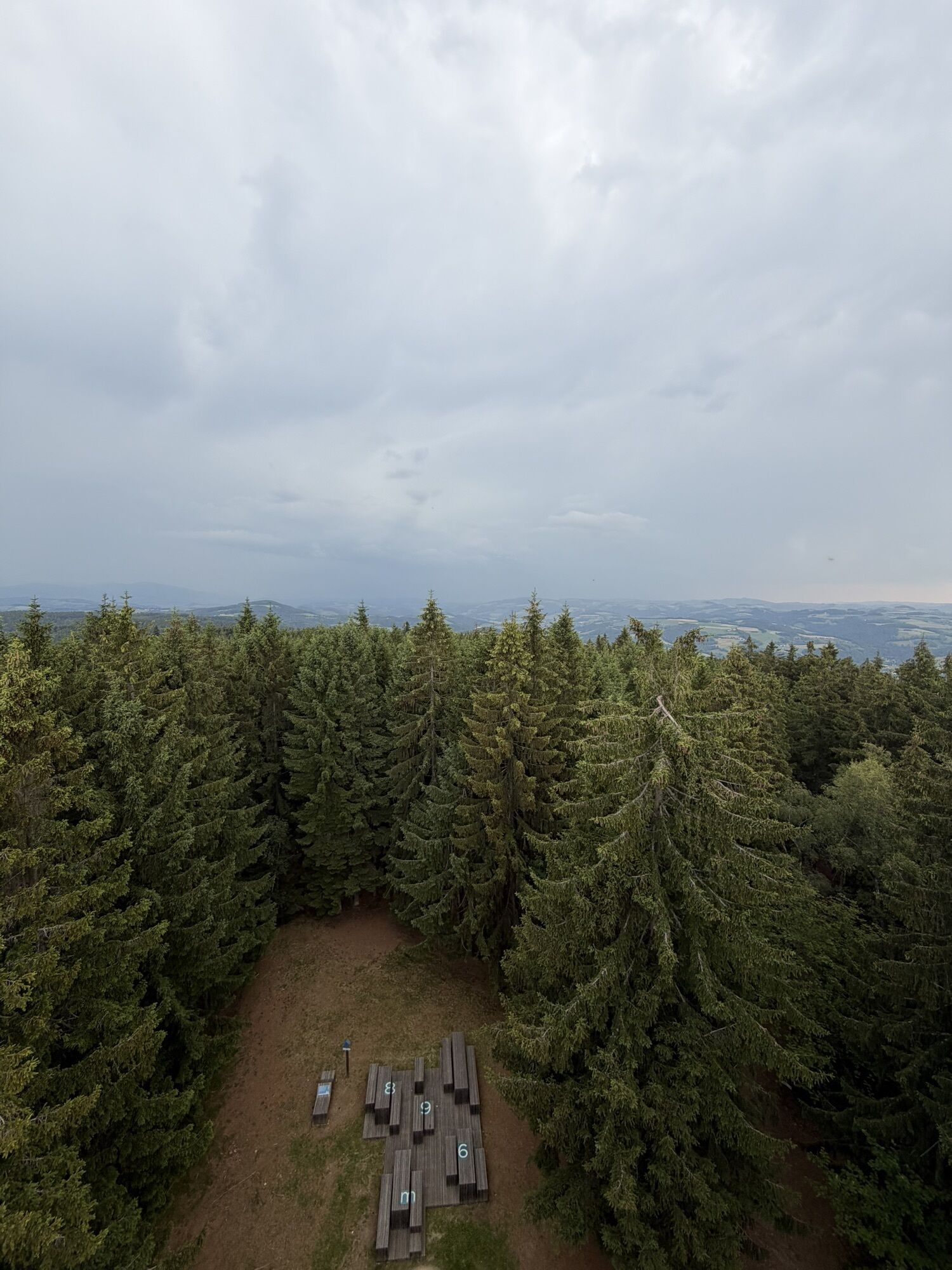
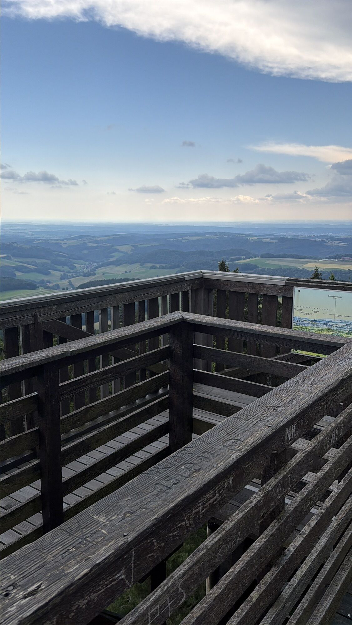
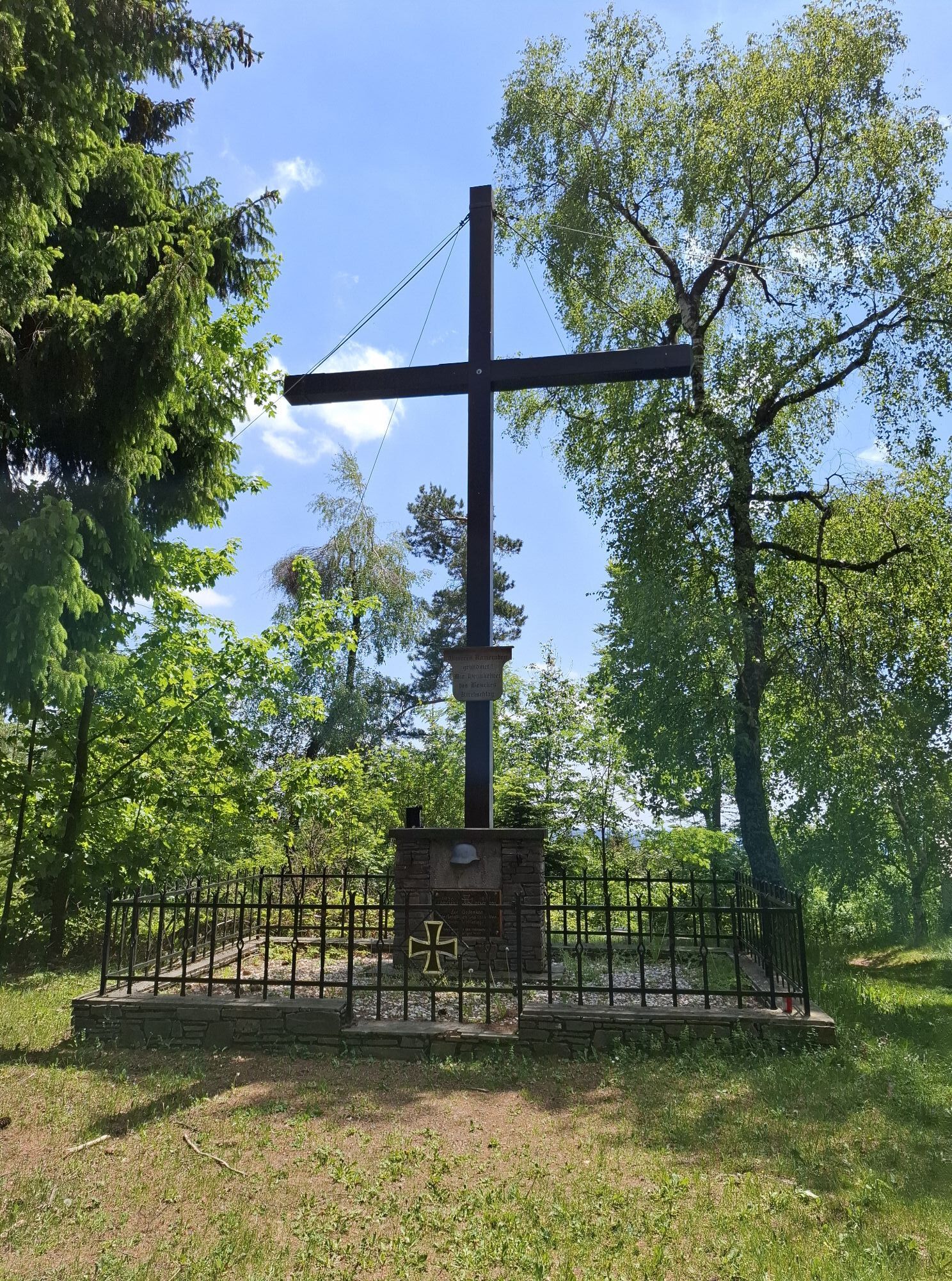
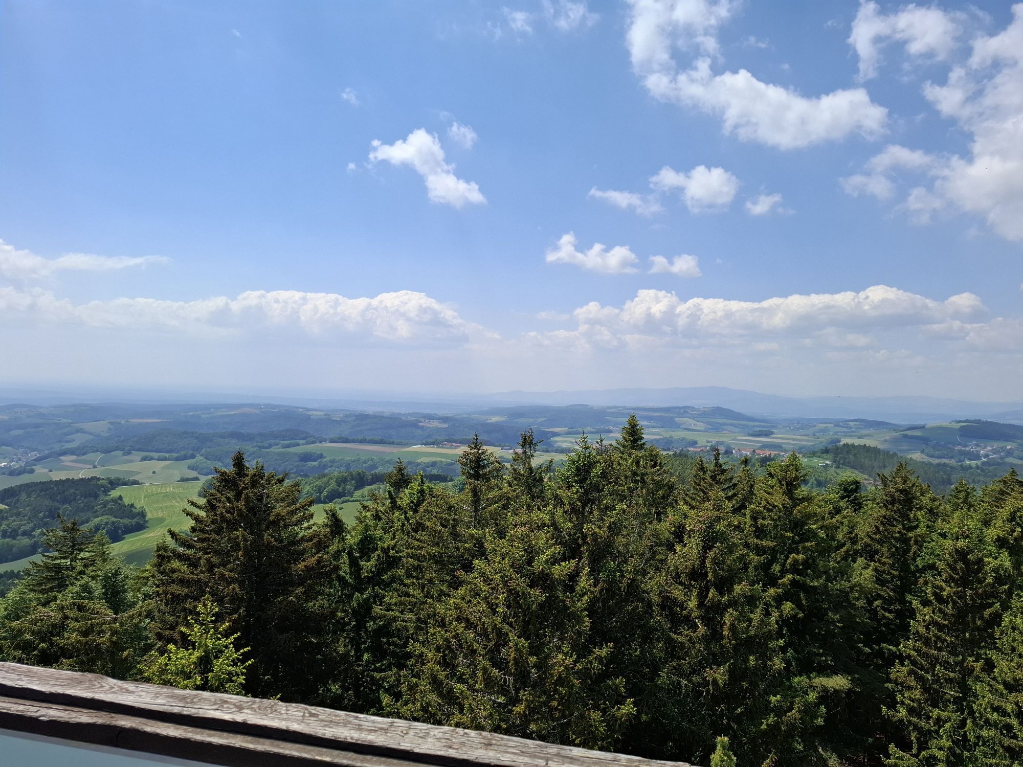
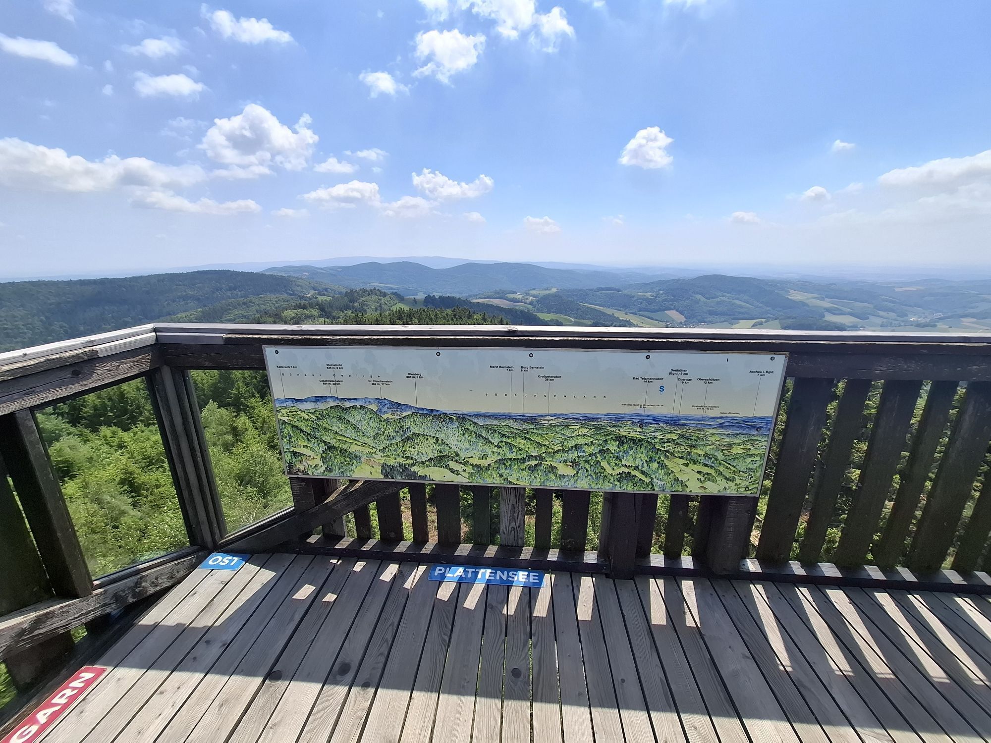
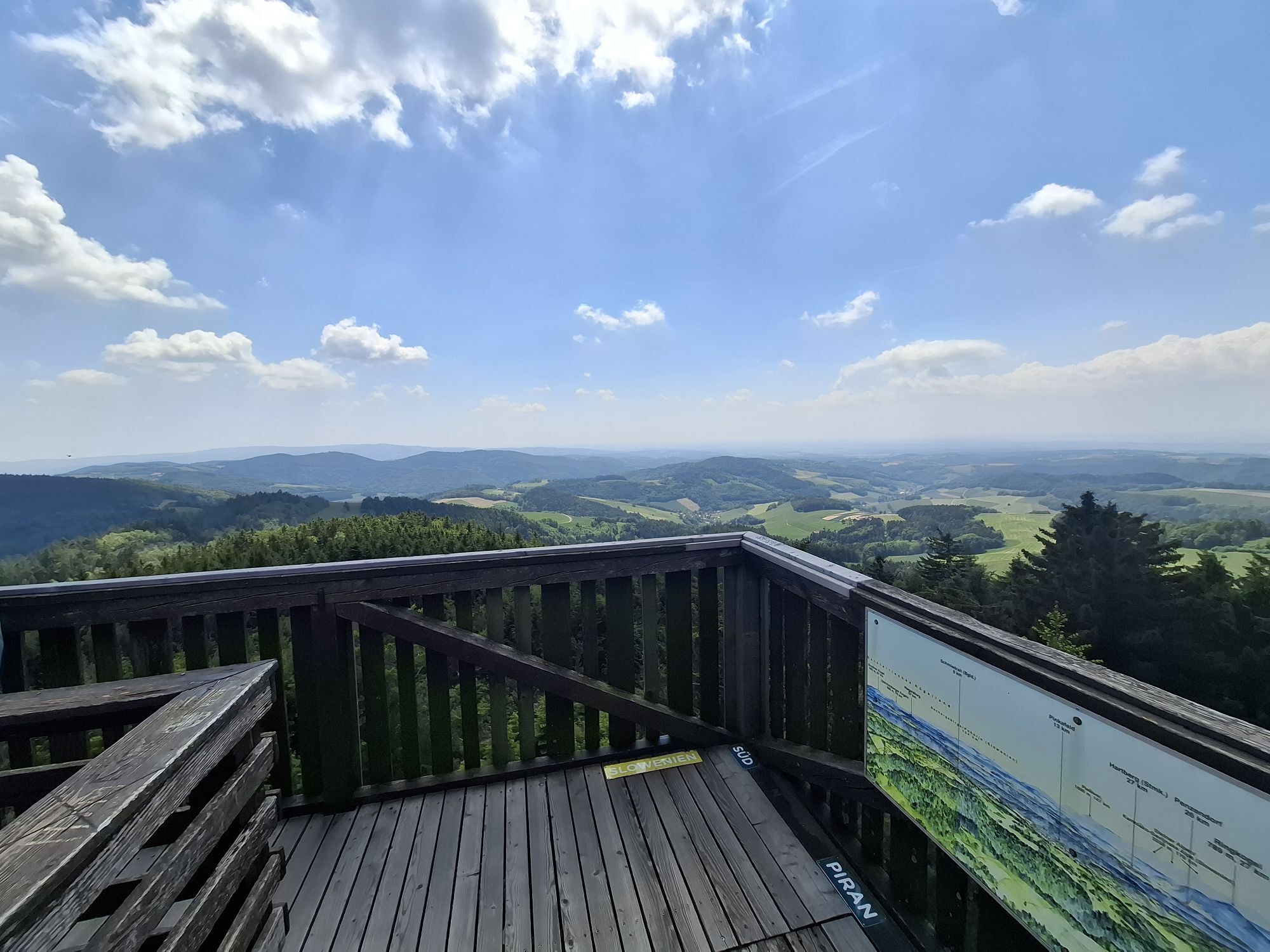
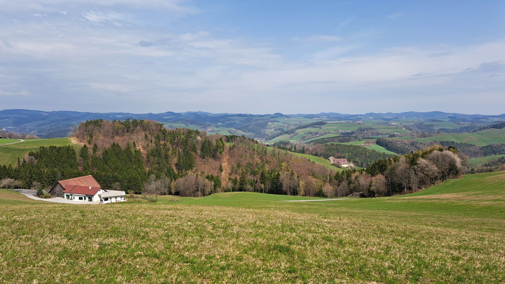
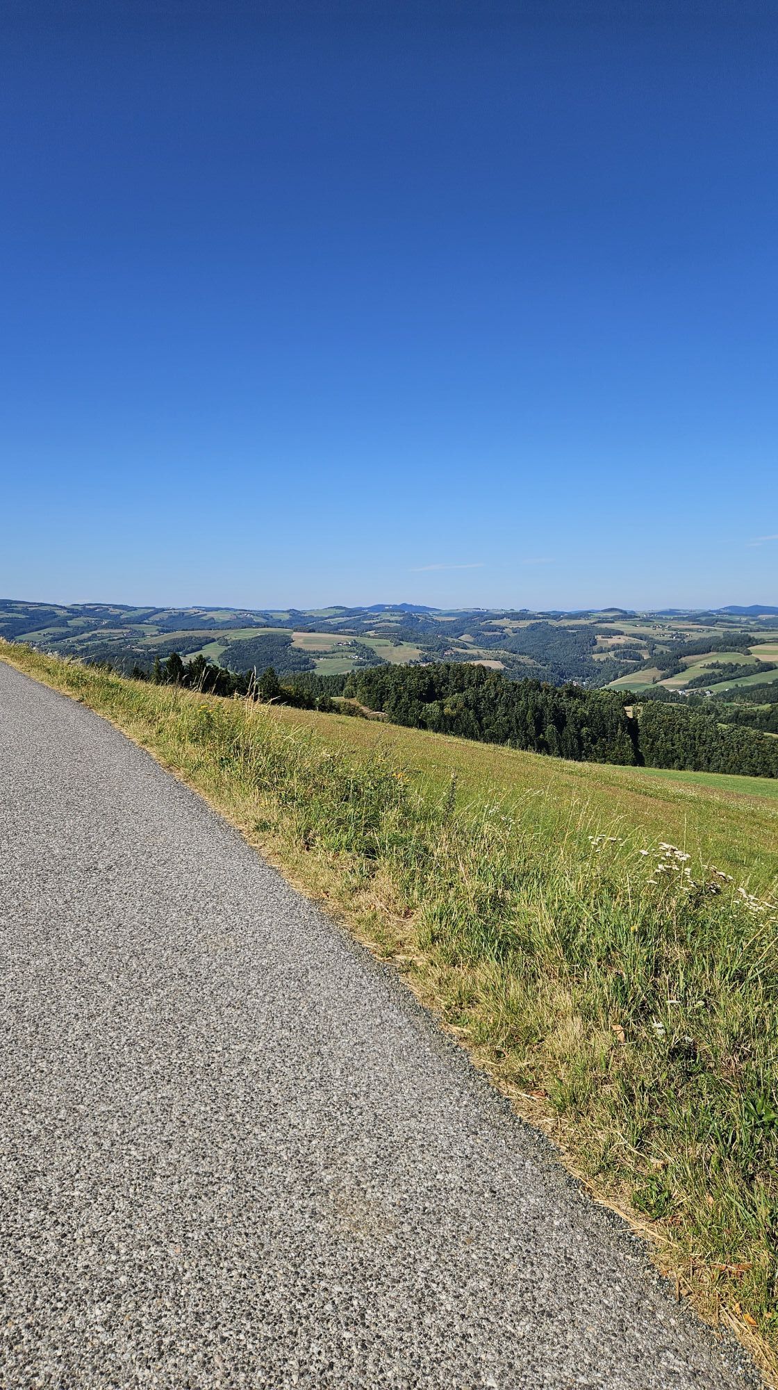
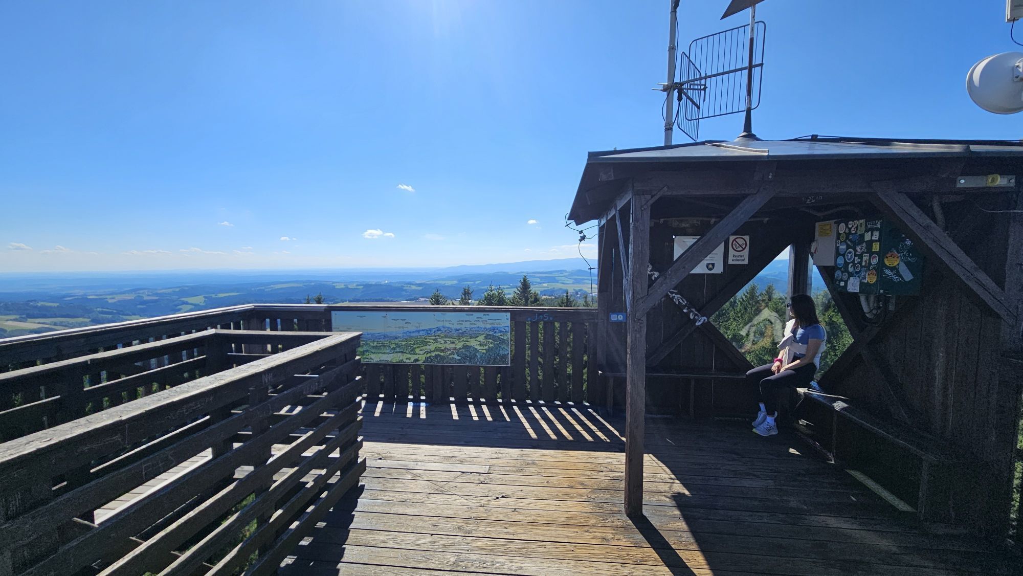
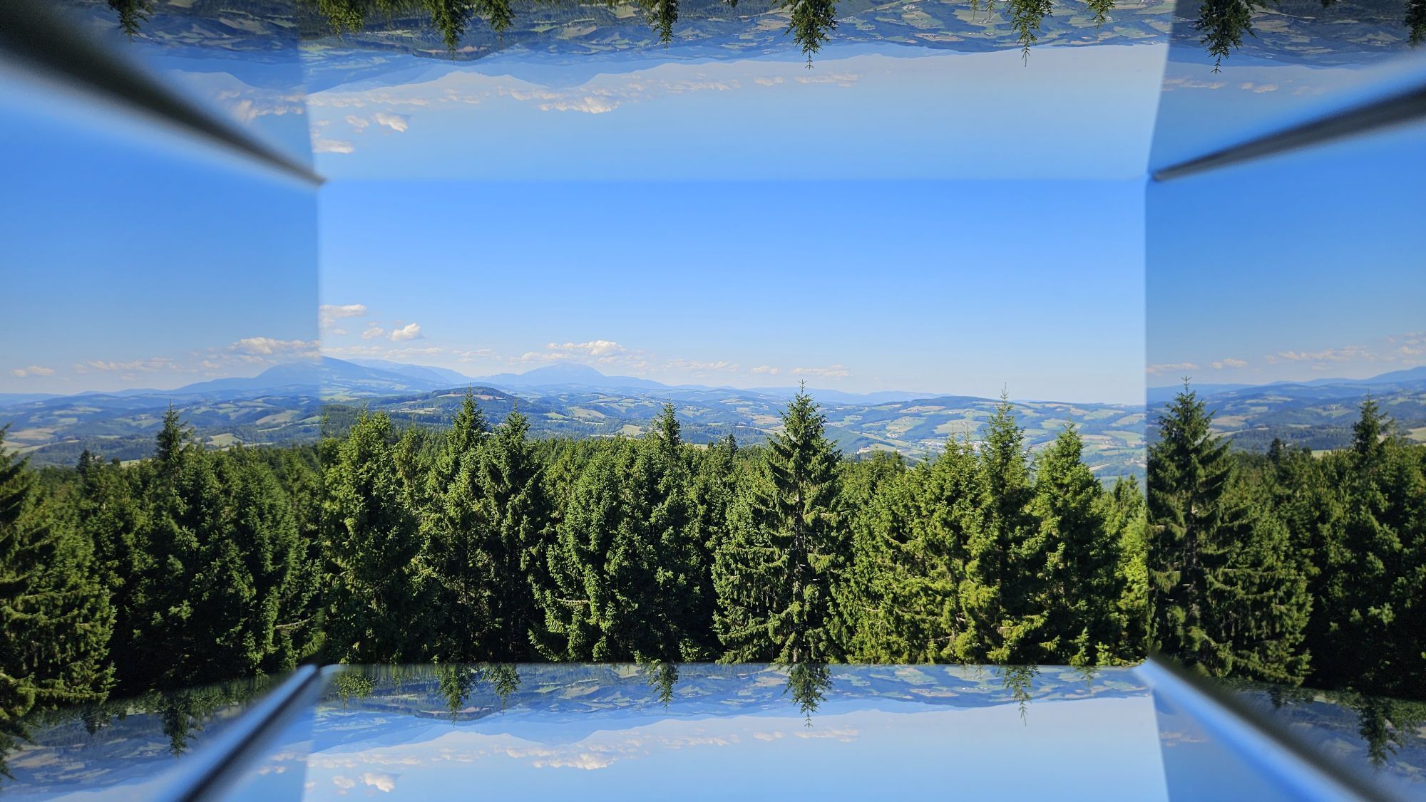
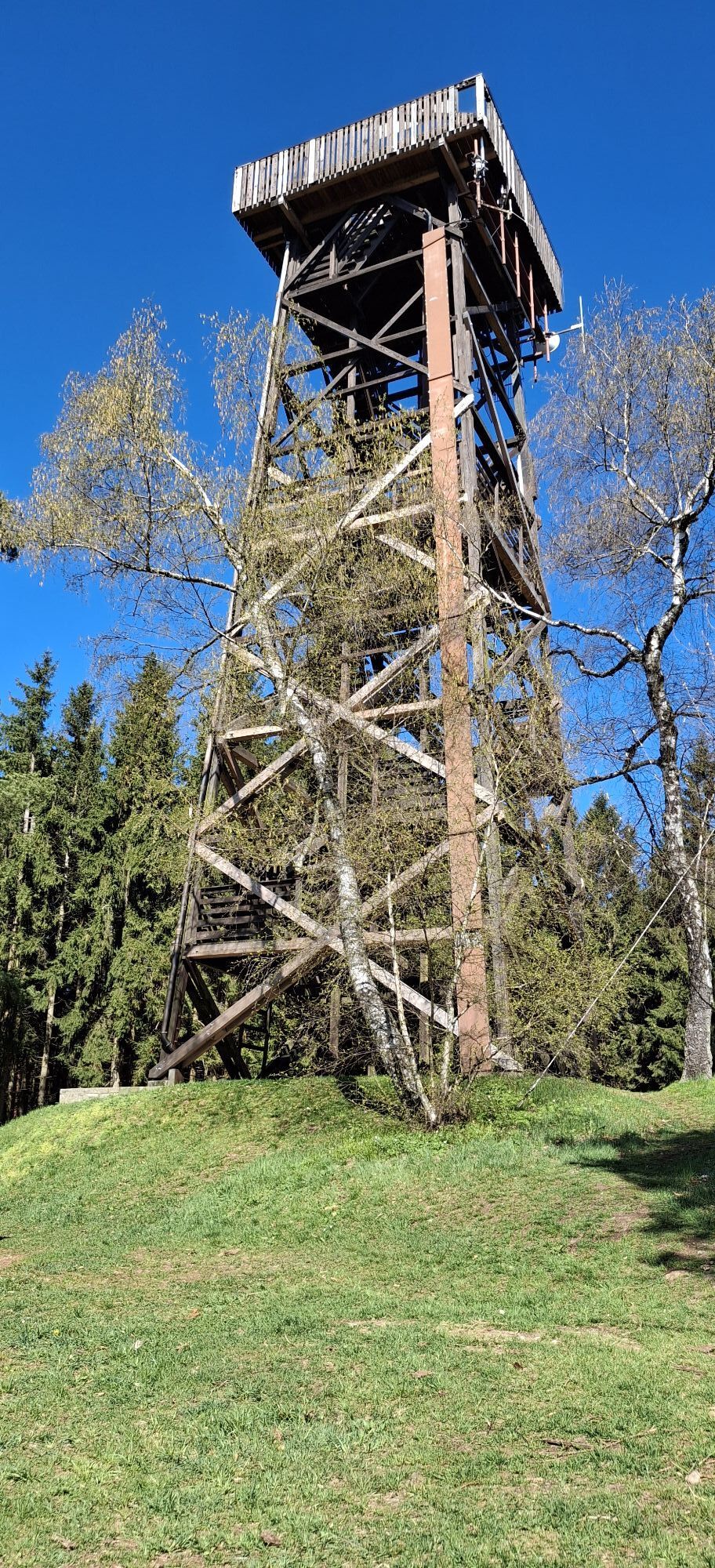
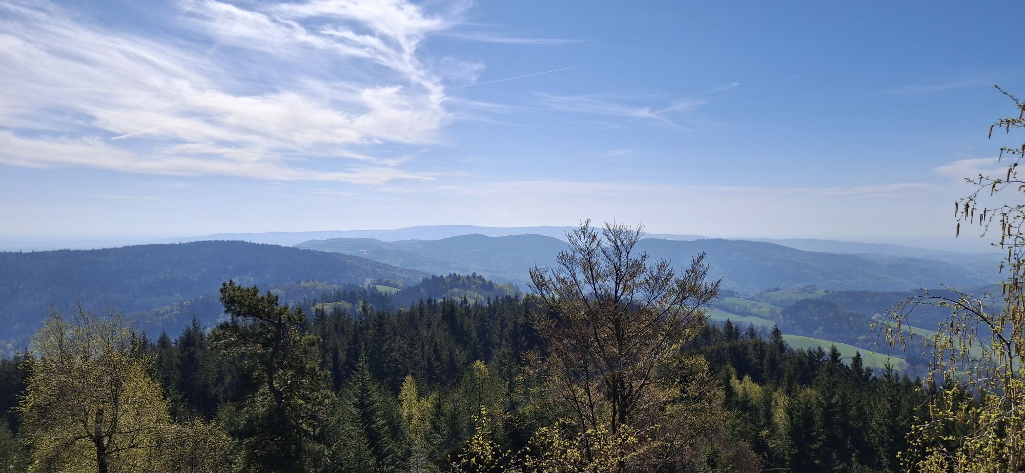
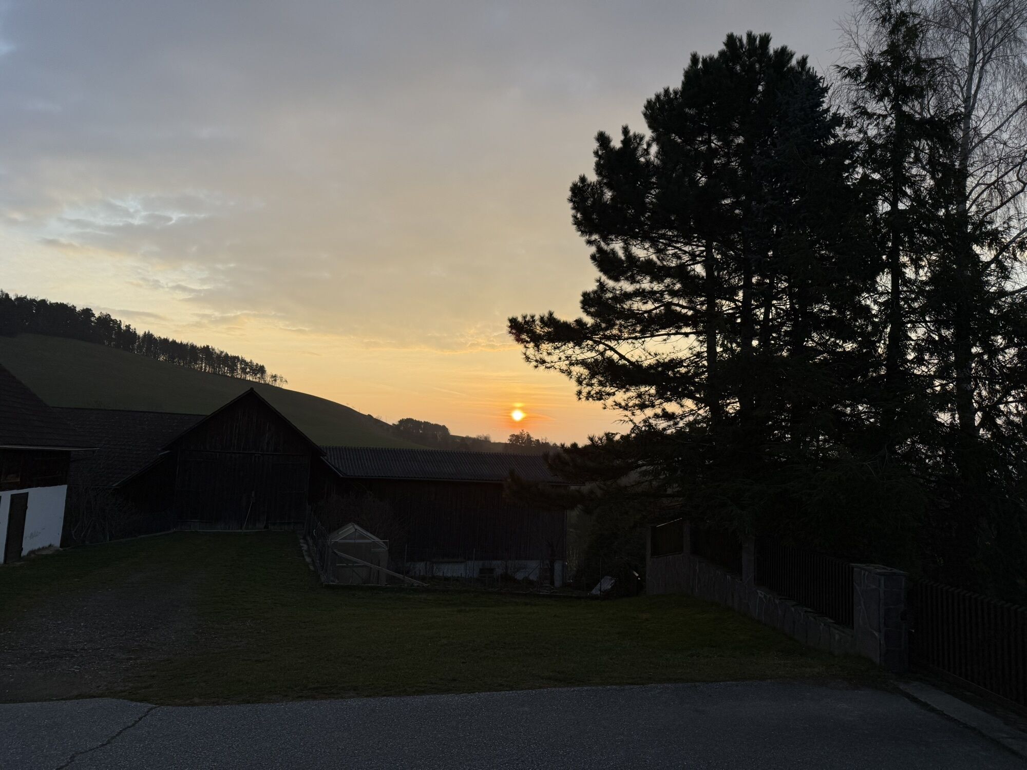
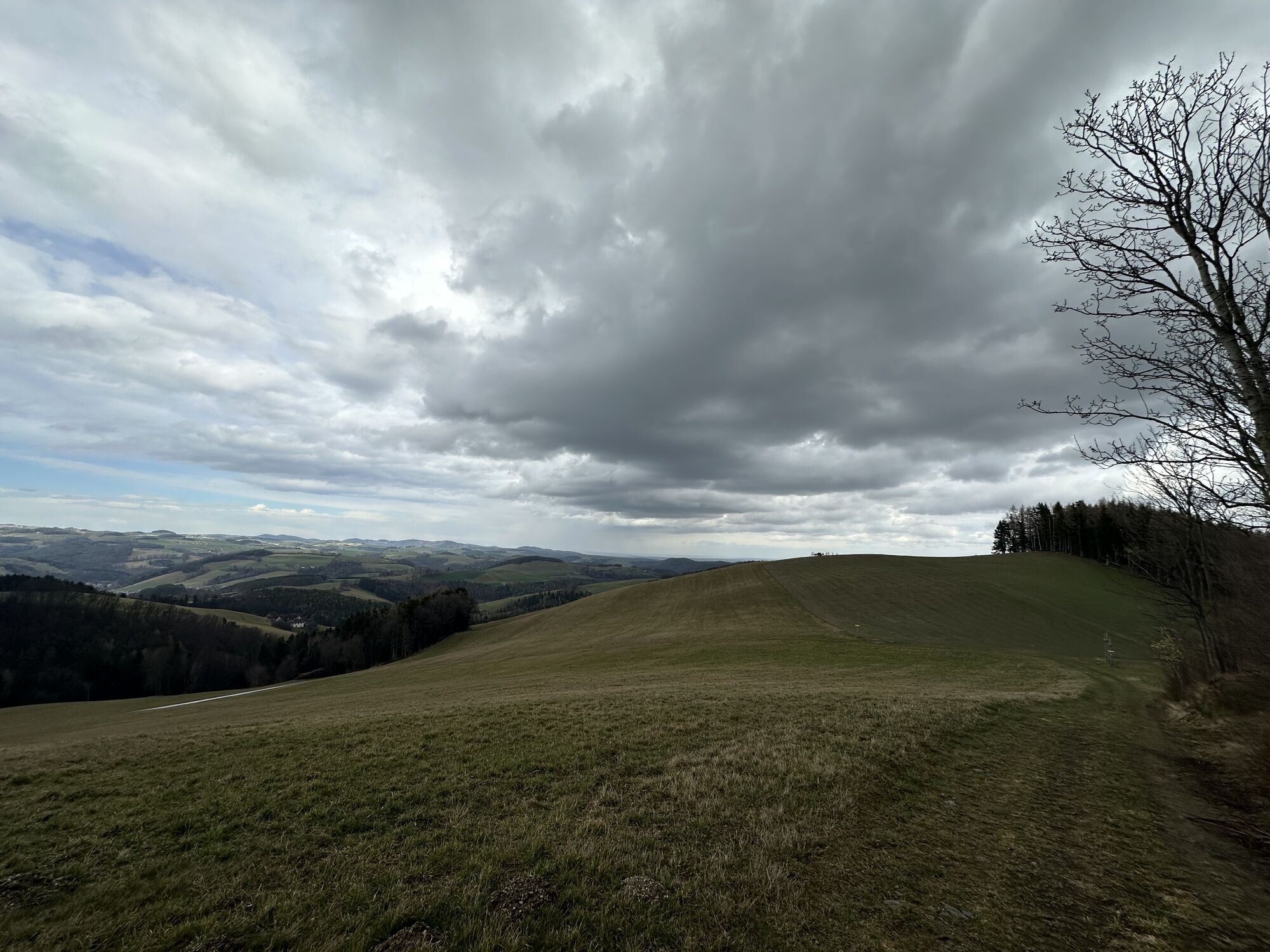
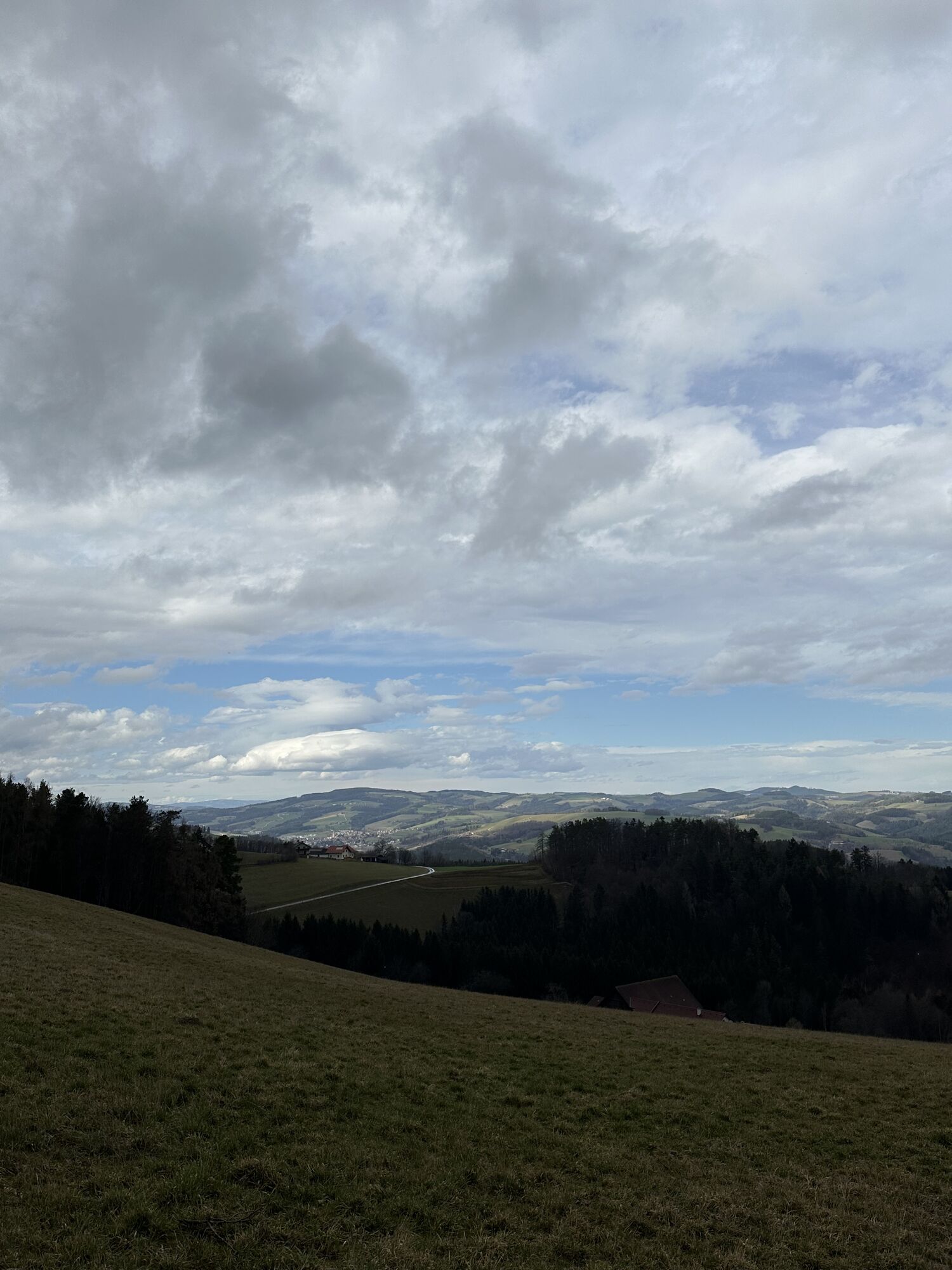
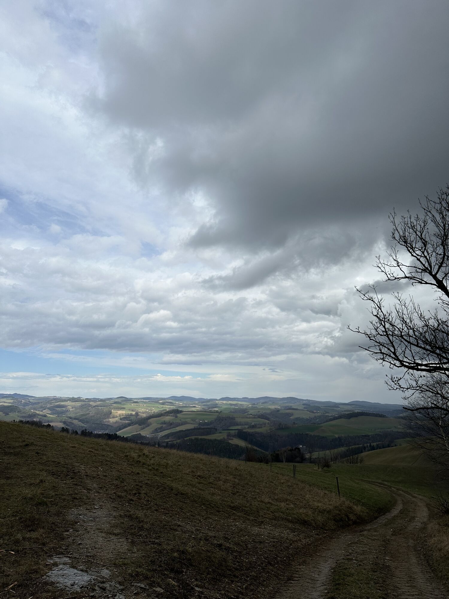
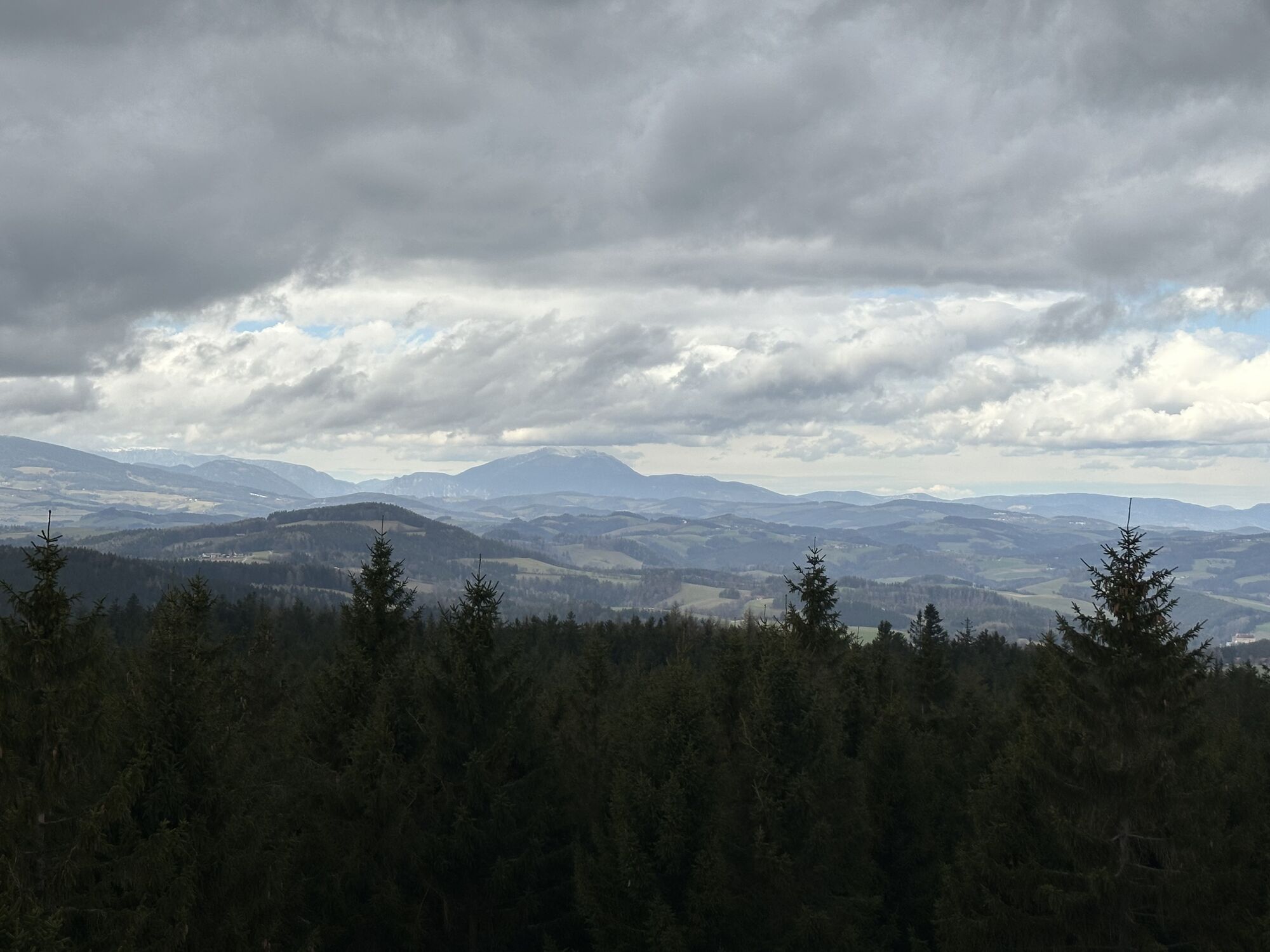
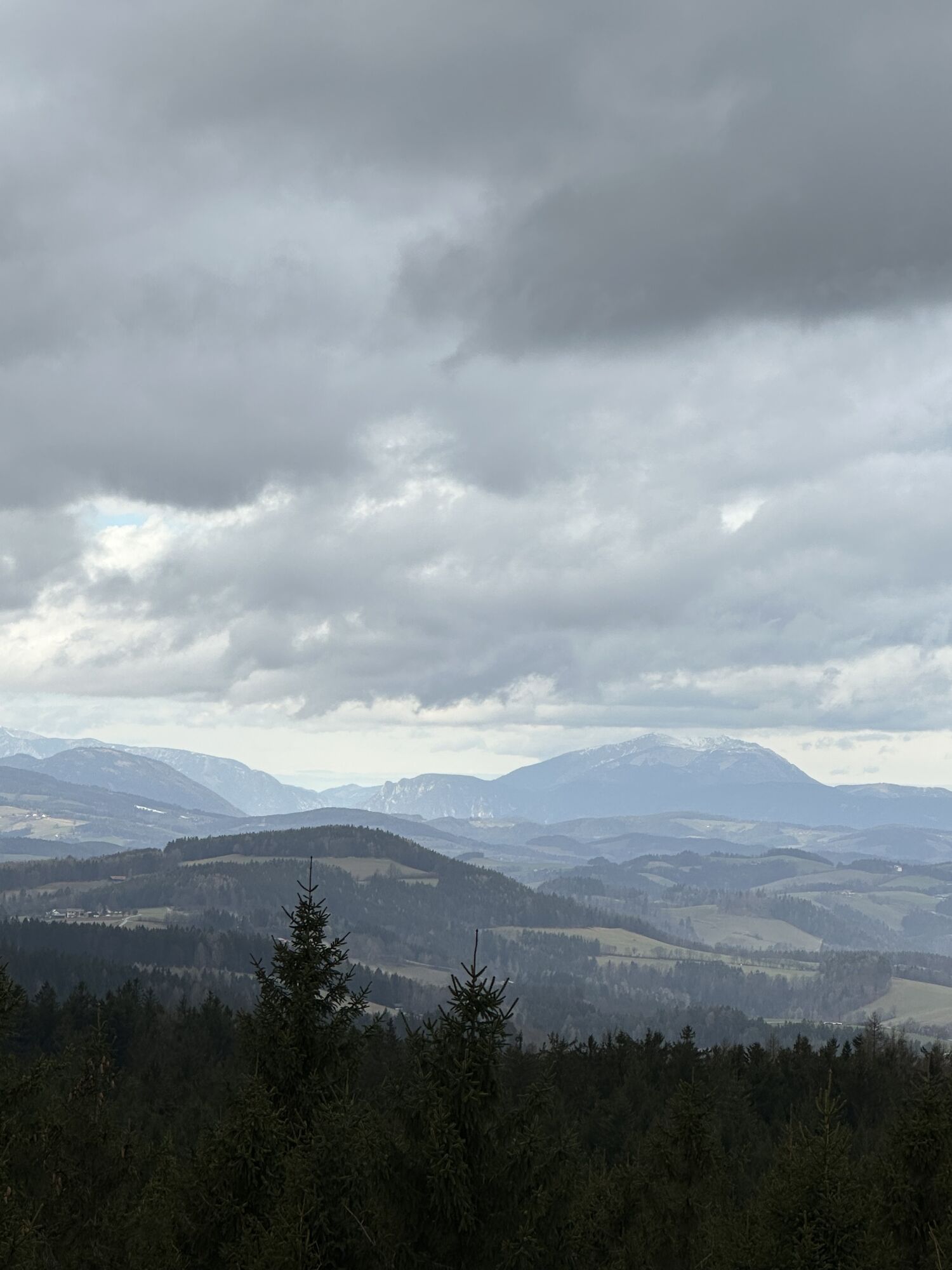
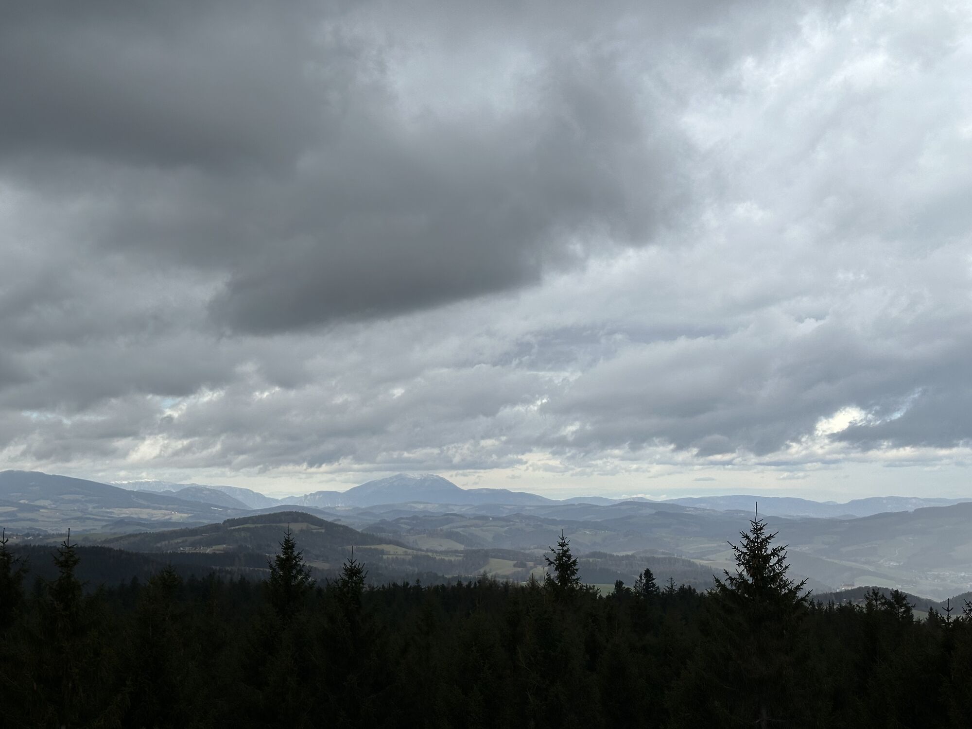
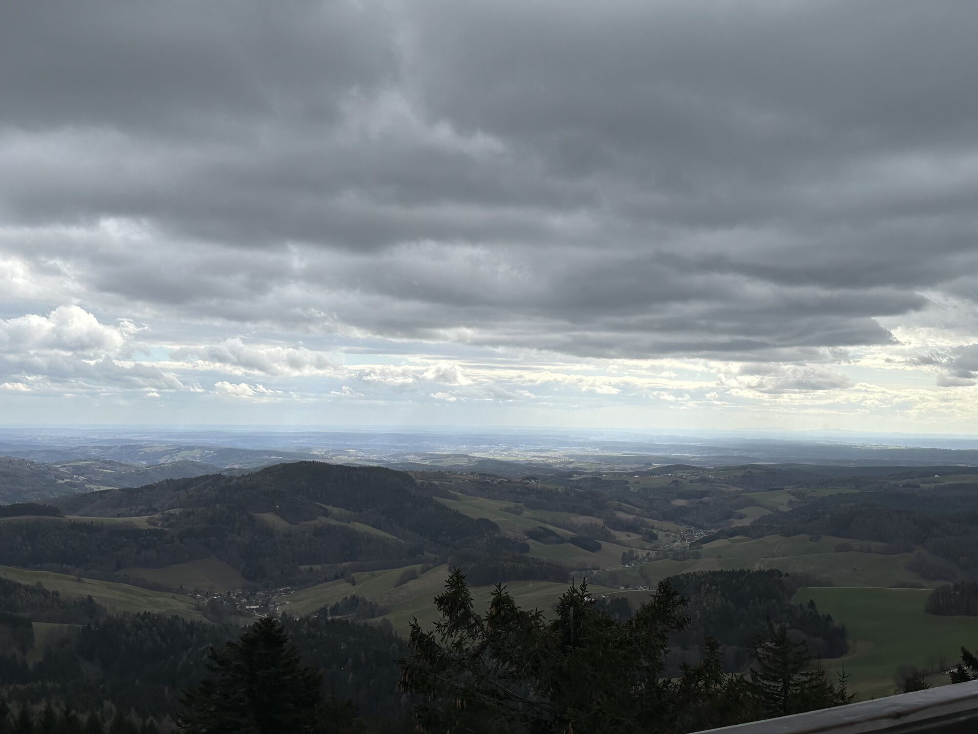
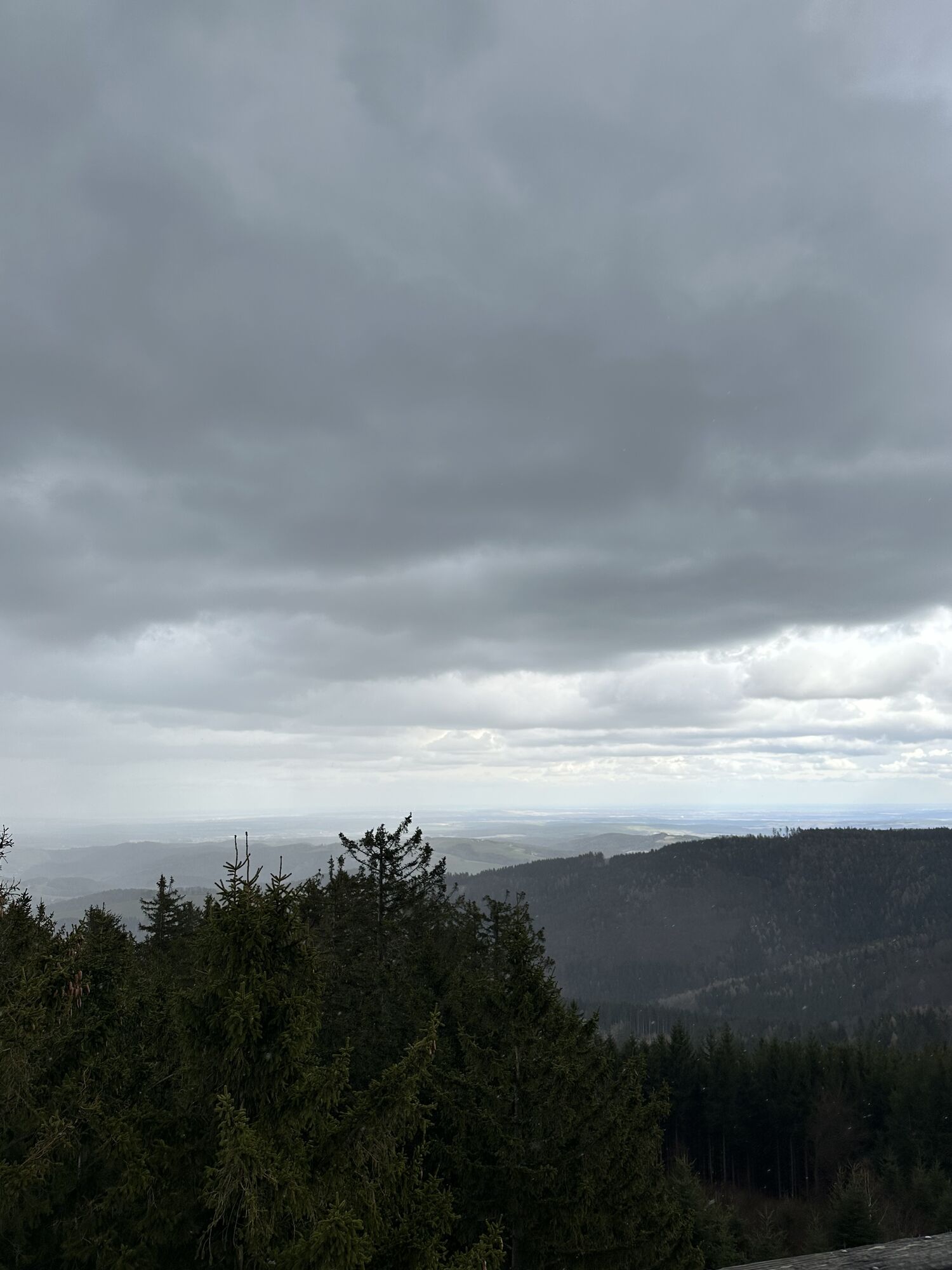
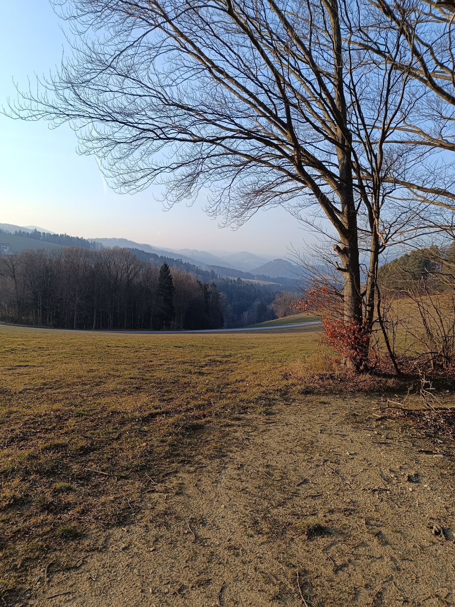
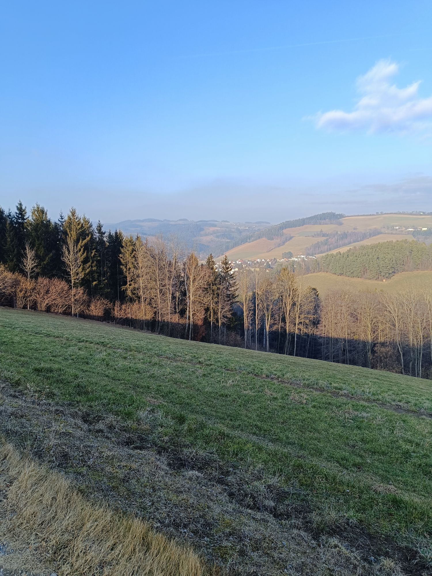
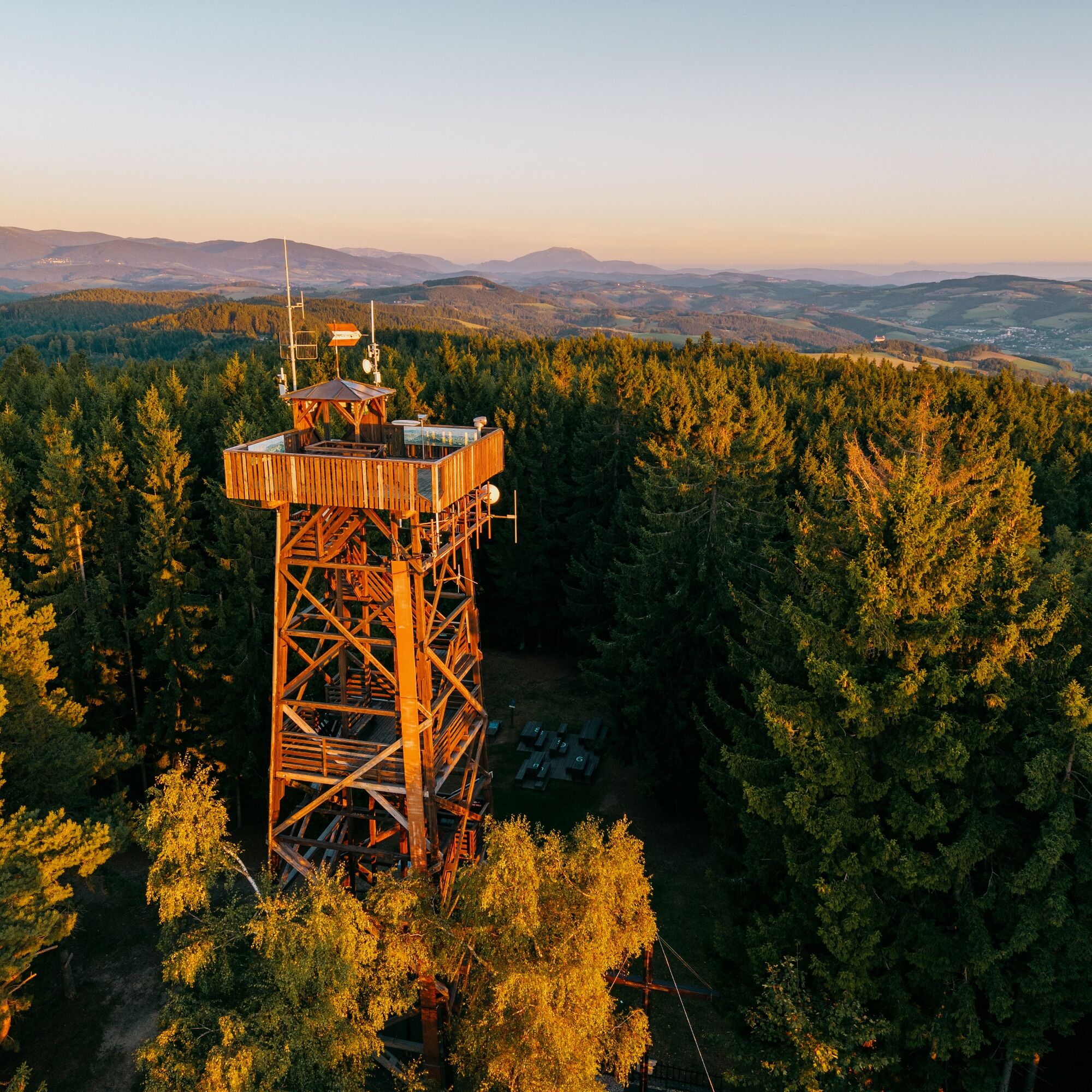
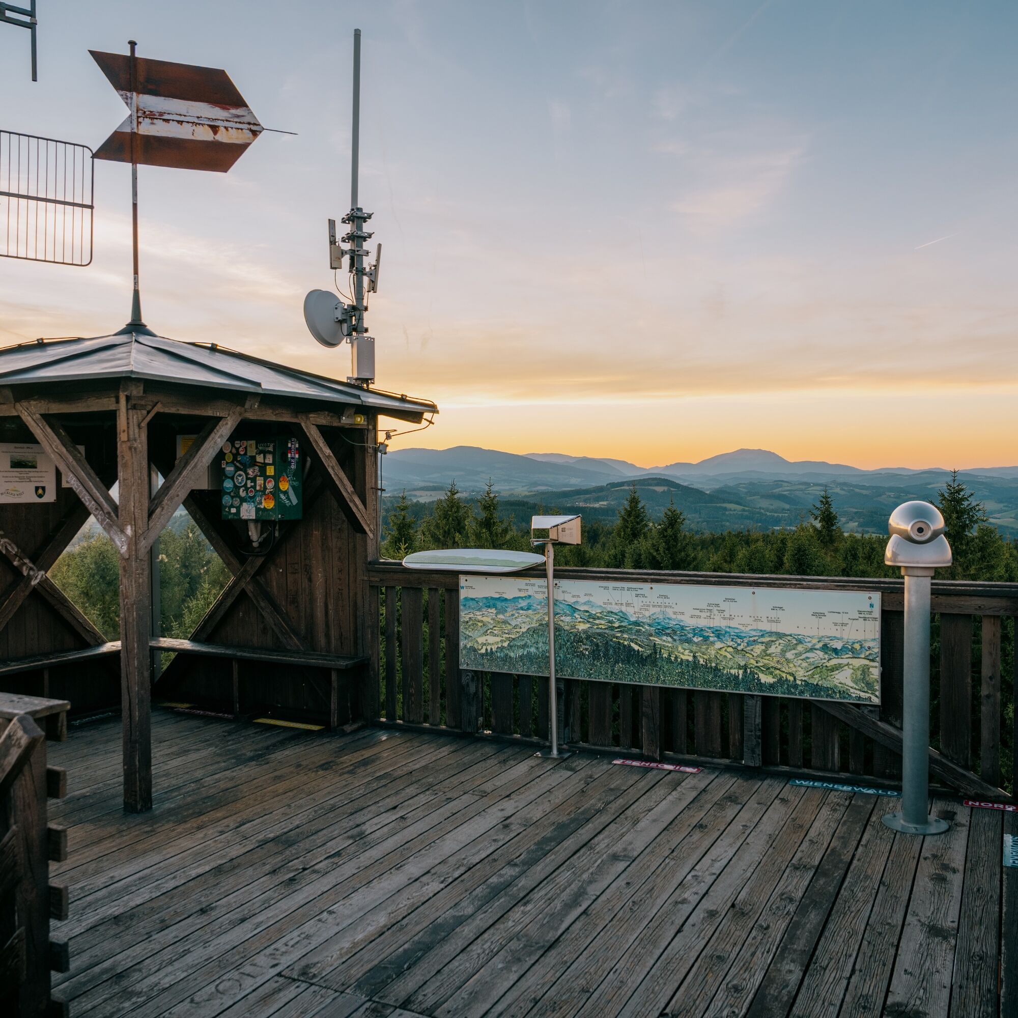
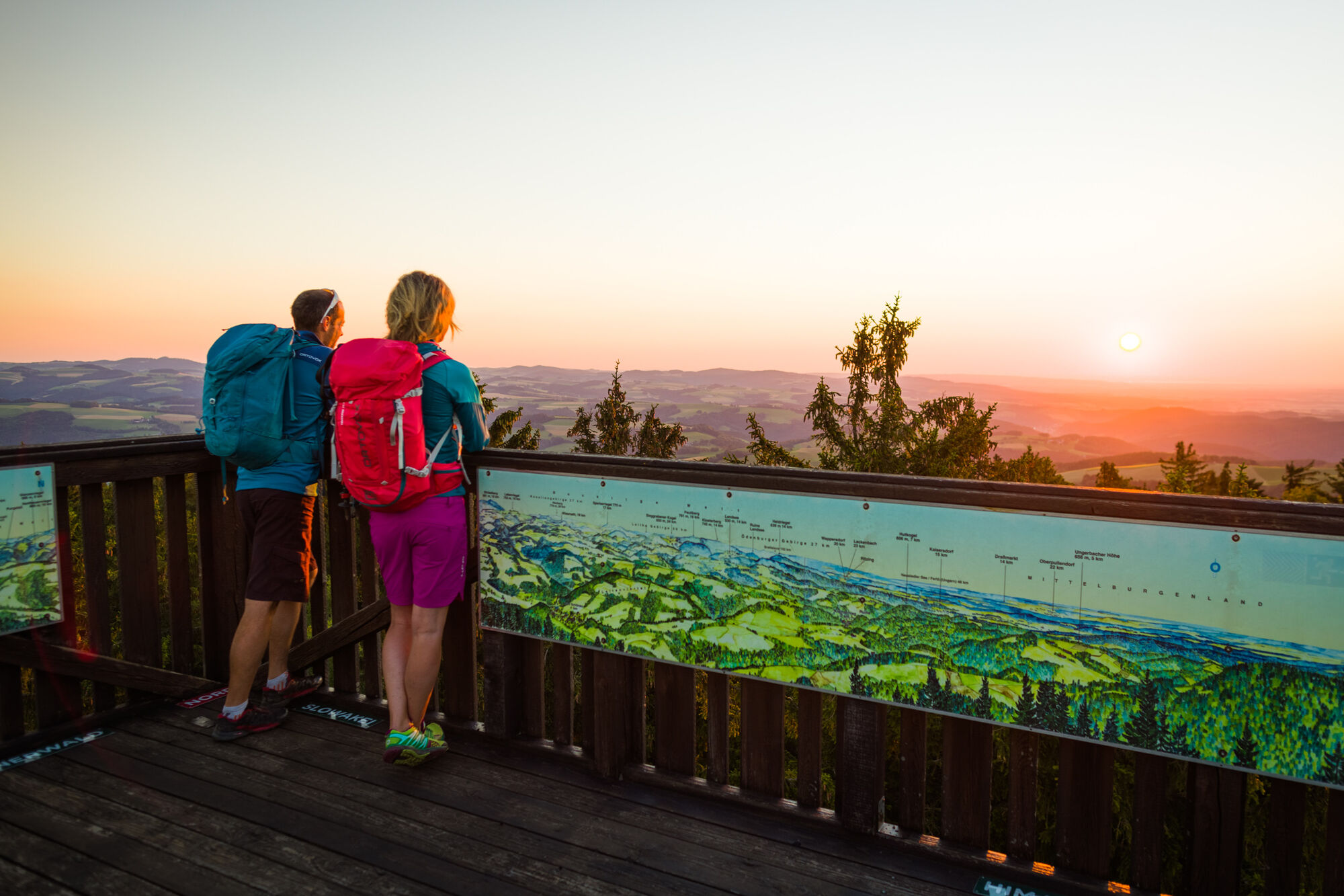
At the top awaits a great resting place and the viewing platform. You are rewarded with a magnificent 360° view of Schneeberg, Rax, and Wechsel or in the other direction to Lake Neusiedl, Hungary, and beyond the South Burgenland region.
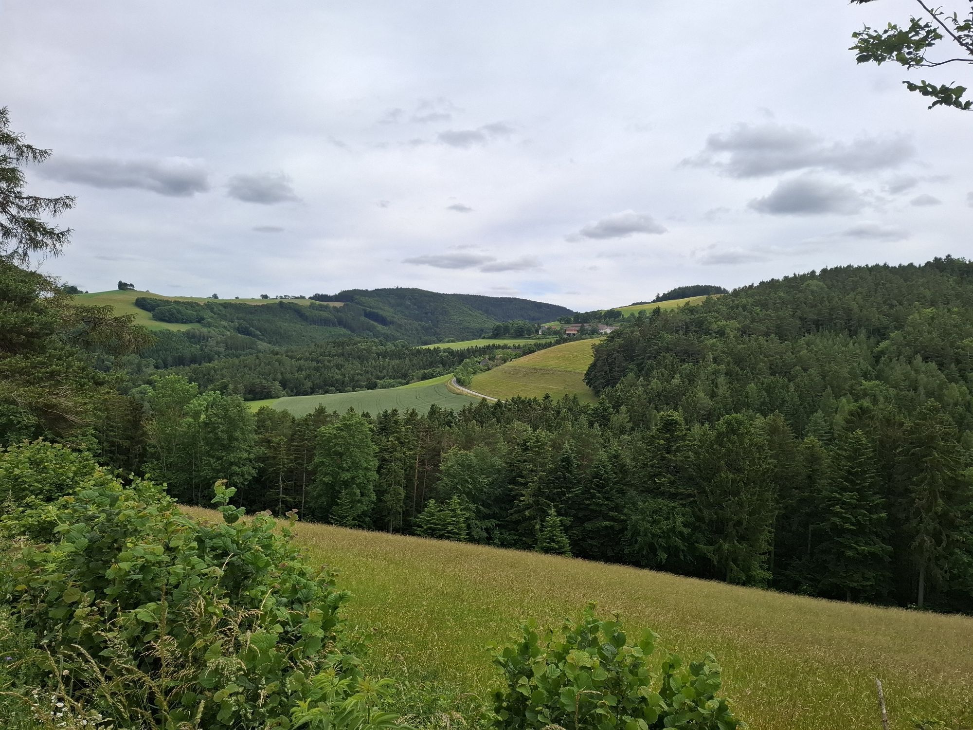
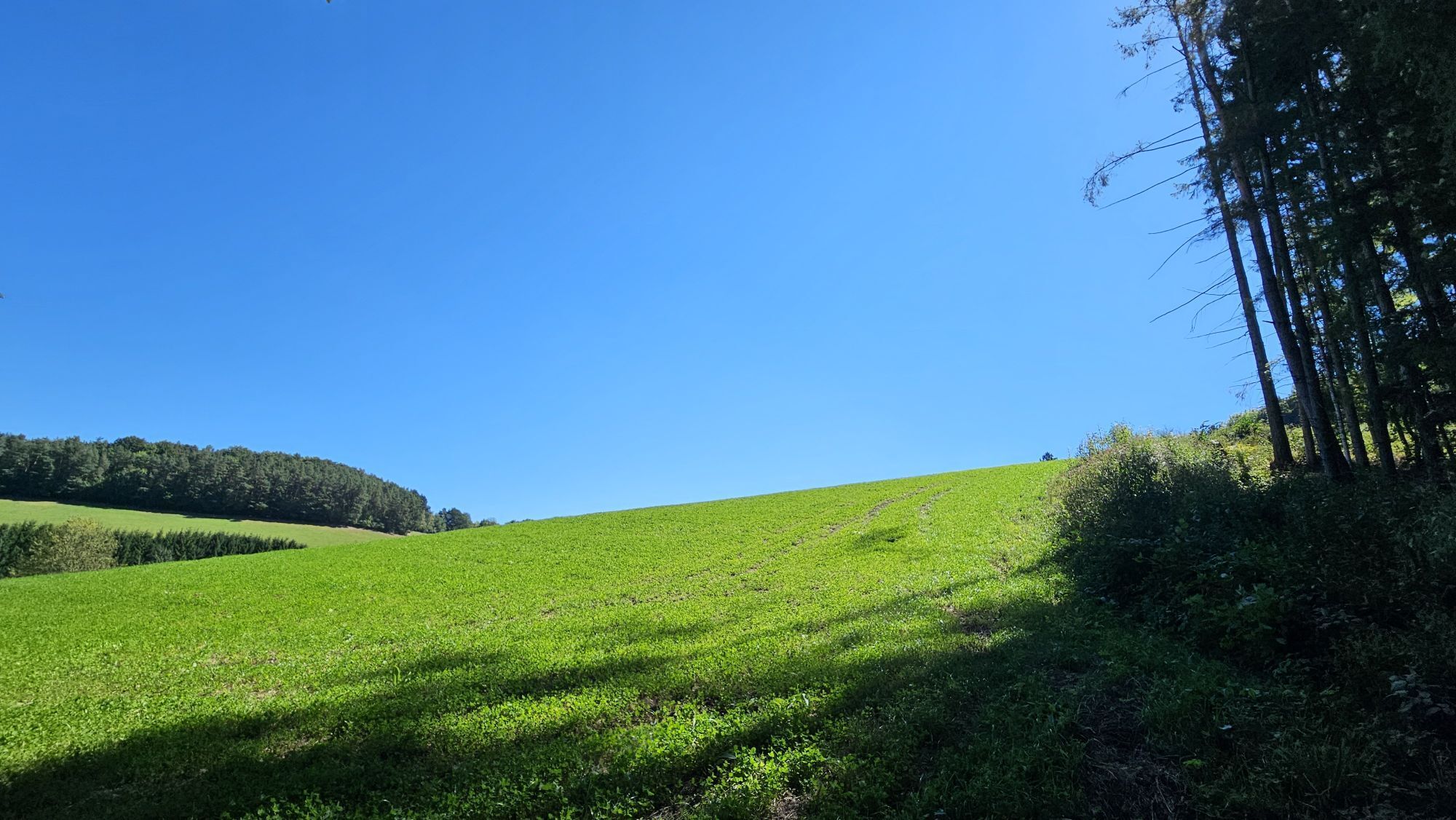
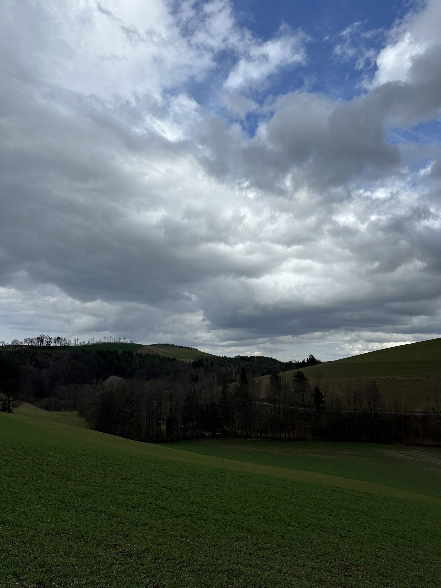
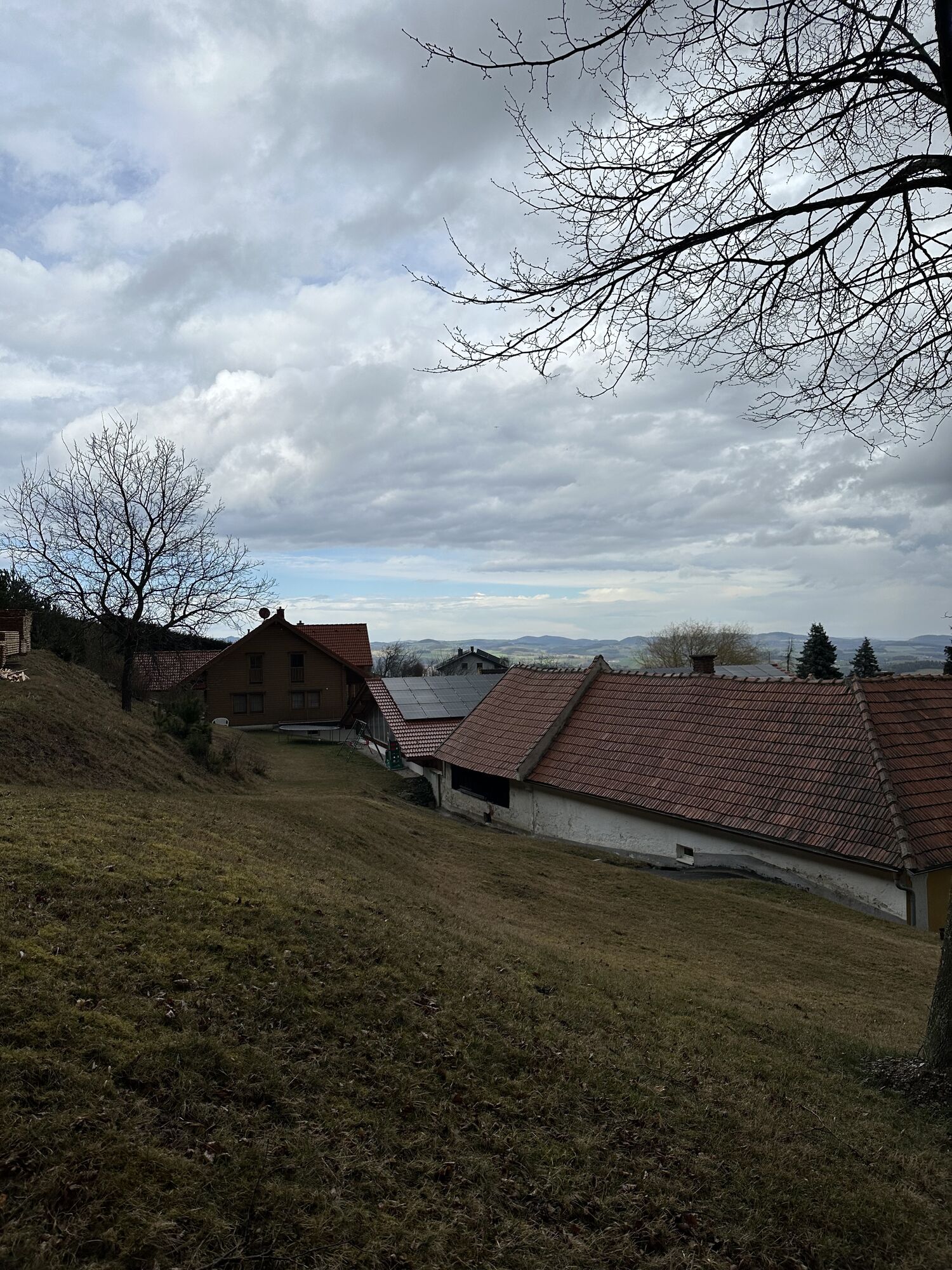
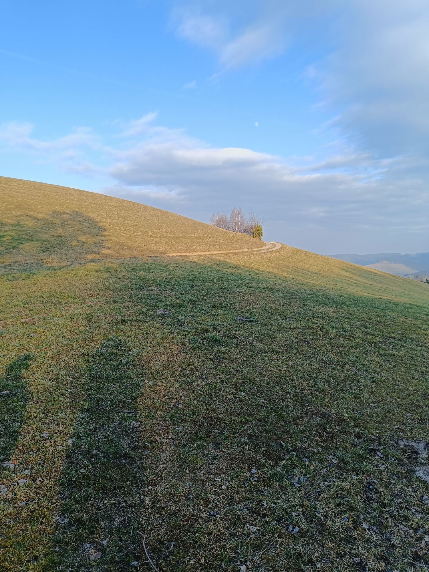
On the way back, the Path of Views again offers many opportunities to let your gaze wander over the Bucklige Welt.
Signage via round, blue label "Hutwisch Circular Hiking Trail", observe arrow directions.
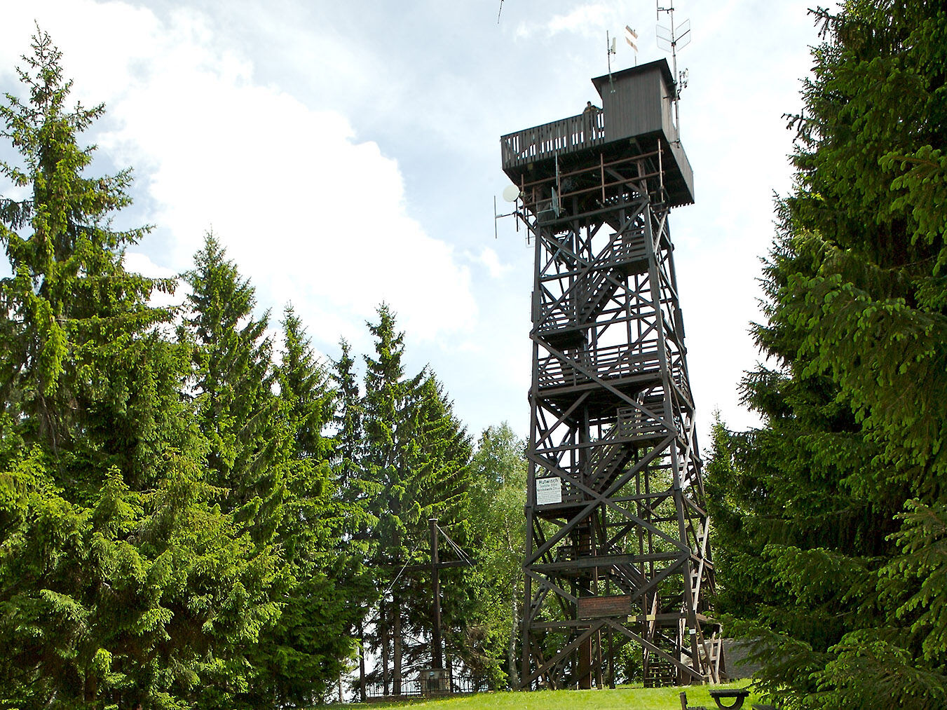
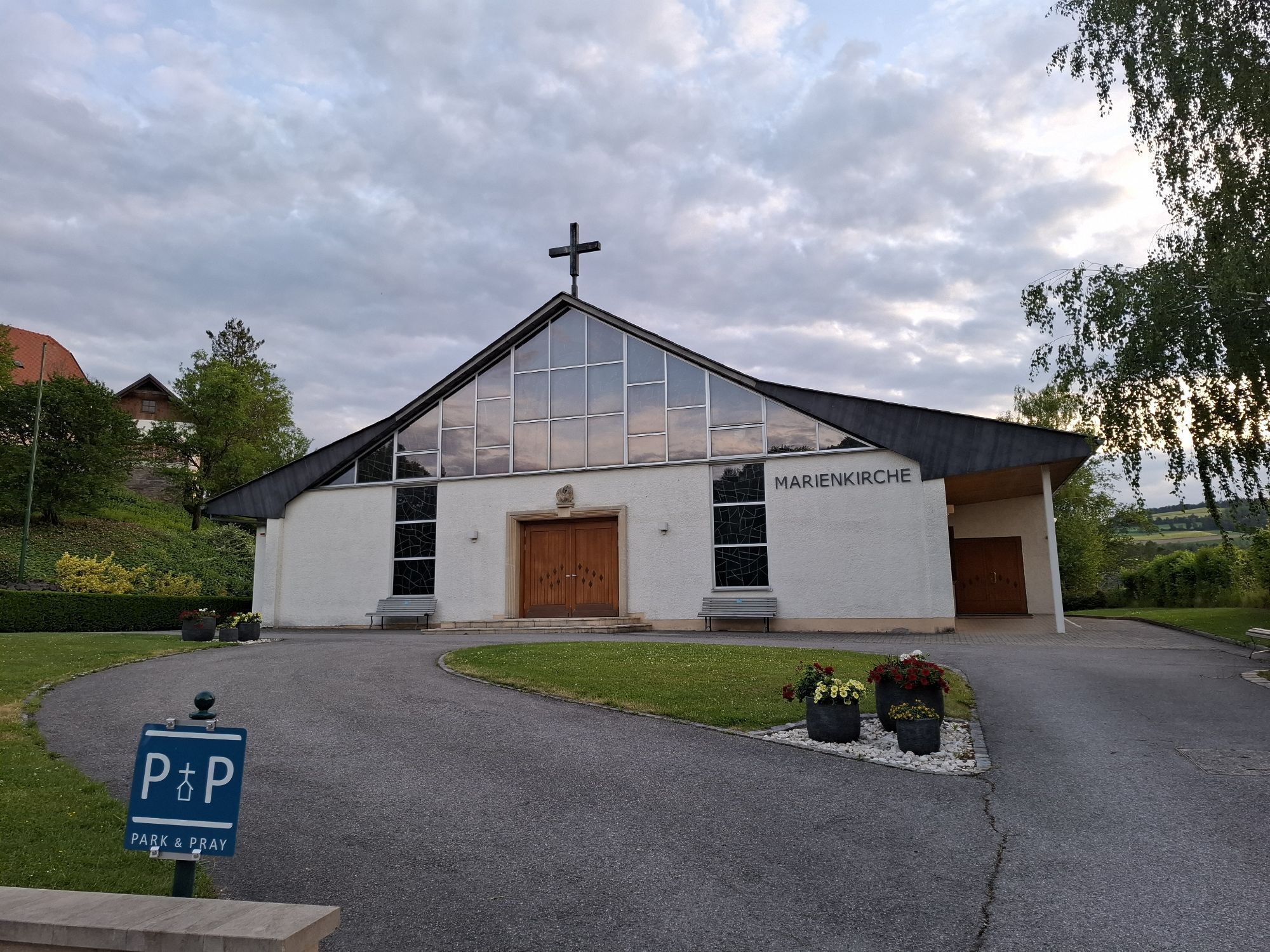
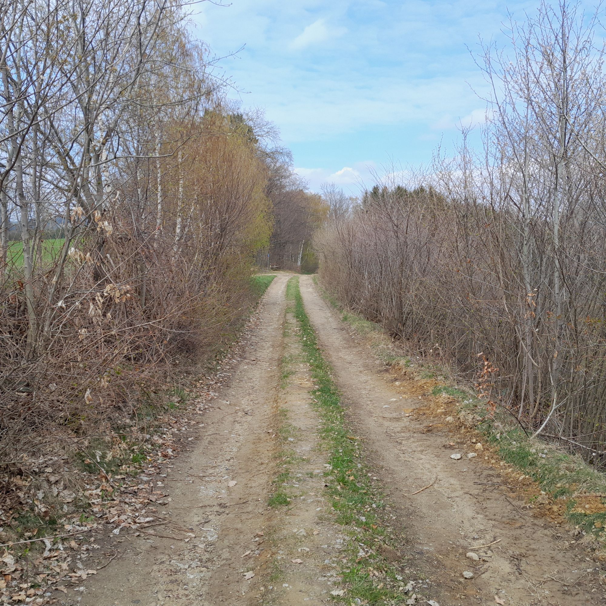
From the hiking start point Bad Schönau, the path leads right past the Sconarium and through the spa park. At the Rosalia Chapel, turn left and walk a short stretch on the hiking trail E19, then take the left branch onto the Path of Views to Ortbauer-Hof. Continue right along hiking trail E2 into the forest. At the next larger intersection, turn left and leave the E2. After a short time, trail E17 leads to Wenigreith. After a short time, trail E17 leads to Wenigreith. There, turn right onto a forest path, which initially divides into hiking trails E1 and E17. Now follows the most challenging part of the route over a steep, narrow path covered with roots. For a while, the path still follows E17 and then turns right up to the viewing platform.
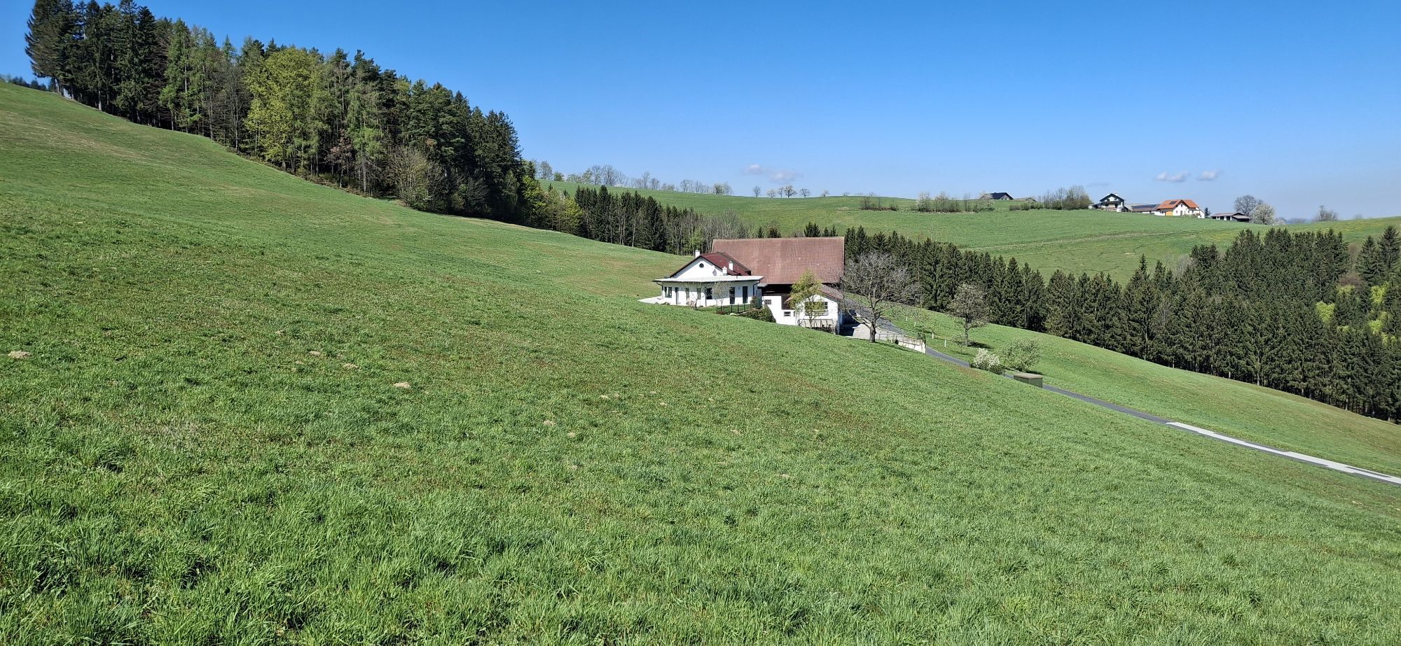
Now turn right and follow the Path of Views to Maierhöfen. A short stretch of road follows. At the intersection, turn left towards Bad Schönau. Shortly after the field, turn left again onto a forest path and follow it back to Bad Schönau. The last section leads again over asphalt (Augasse).
Signage via round, blue label "Hutwisch Circular Hiking Trail", please observe arrow directions.
Ano
Always carry suitable hiking maps. Wear hiking shoes appropriate for the route, take sun and rain protection as well as water and some food. Take your mobile phone and save the emergency numbers for rescue services: Rescue 144 / Mountain Rescue 140
Make sure when choosing the route that it corresponds to your experience and fitness. Check the weather forecast in advance. The weather in the mountains can change surprisingly fast. Therefore always start well equipped (e.g. rain protection, snacks, drinks, ...). Check whether the restaurants and huts you want to visit are open. Inform someone about your route choice and planned return before you start.
From Vienna: Take South Motorway A2, exit Krumbach. At exit 76-Krumbach, drive towards Krumbach/Hungary and continue via the Krumbach junction onto the B55. In Bad Schönau turn right onto the main road, at Gasthaus Geier turn right again to the parking spaces.
From Graz: Take South Motorway A2, exit Aspang-Zöbern. Turn right onto L137. Follow the road. Turn right onto Kirchschlager Str./B55. In Bad Schönau turn right onto the main road, at Gasthaus Geier turn right again to the parking spaces.
From Wr. Neustadt main station to station Edlitz-Grimmenstein, continue by regional bus to the stop Bad Schönau B55/Ort junction.
Bus connection from Vienna Südtirolerplatz
Further information at www.oebb.at and www.vor.at
Guest pick-up service from Vienna and train stations: Reisedienst Schwarz: 02646/8386
Ample free parking spaces available in town
Vienna Alps in Lower Austria, www.wieneralpen.at, +43 2622 78960
Opening hours: Mon - Thu 08:30 - 16:00 / Fri 08:30 - 13:00
Places to eat in Bad Schönau:
Gasthaus Geier
Café and wine tavern Kitzwögerer
VitalZeit Hotel Weber (sugar-free kitchen)
Vivea 4* Hotel Bad Schönau zur Quelle
Vivea 4* Hotel Bad Schönau zum Landsknecht
Health Resort Königsberg (1 Gault Millau toque and "Green Toque")
Places to eat near Hutwisch (Hochneukirchen):
s'Hutwisch


Oblíbené prohlídky v okolí
-
4.1
"Weg der Blicke"
světloTuristika 5.86 km -
4.4
Bad Schönau - Hutwisch
světloTuristika 9.99 km -
4.4
B53 Edelserpentin
středníJízda na kole 23.5 km -
4.4
BAD-SCHÖNAU Hutwisch und wieder zurück 20220611
středníTuristika 10.8 km -
4.8
Bakabu children's adventure trail to Hutwisch
středníTematická stezka 5.42 km -
4.8
B41 Zöberntal-Rabnitztal cycle trail
středníJízda na kole 40.7 km -
3.7
Willersdorf - Willersdorfer Schlucht - Kreuzberg - Aschau im Burgenland
středníTuristika 9.41 km -
5.0
Cyklostezka Zöbernbach Radweg
středníJízda na kole 28.5 km -
5.0
Winter hiking on the Path of Views in Bad Schönau
středníZimní turistika 6.21 km -
EuroVelo 9 Breclav (CZ) - Maribor (SI)
středníJízda na kole 433.6 km
Pěší turistika a stopování


Nenechte si ujít nabídky a inspiraci pro vaši příští dovolenou
Vaše e-mailová adresa byl přidán do poštovního seznamu.