


High-altitude climatic health resort circular route
Fotografie našich uživatelů

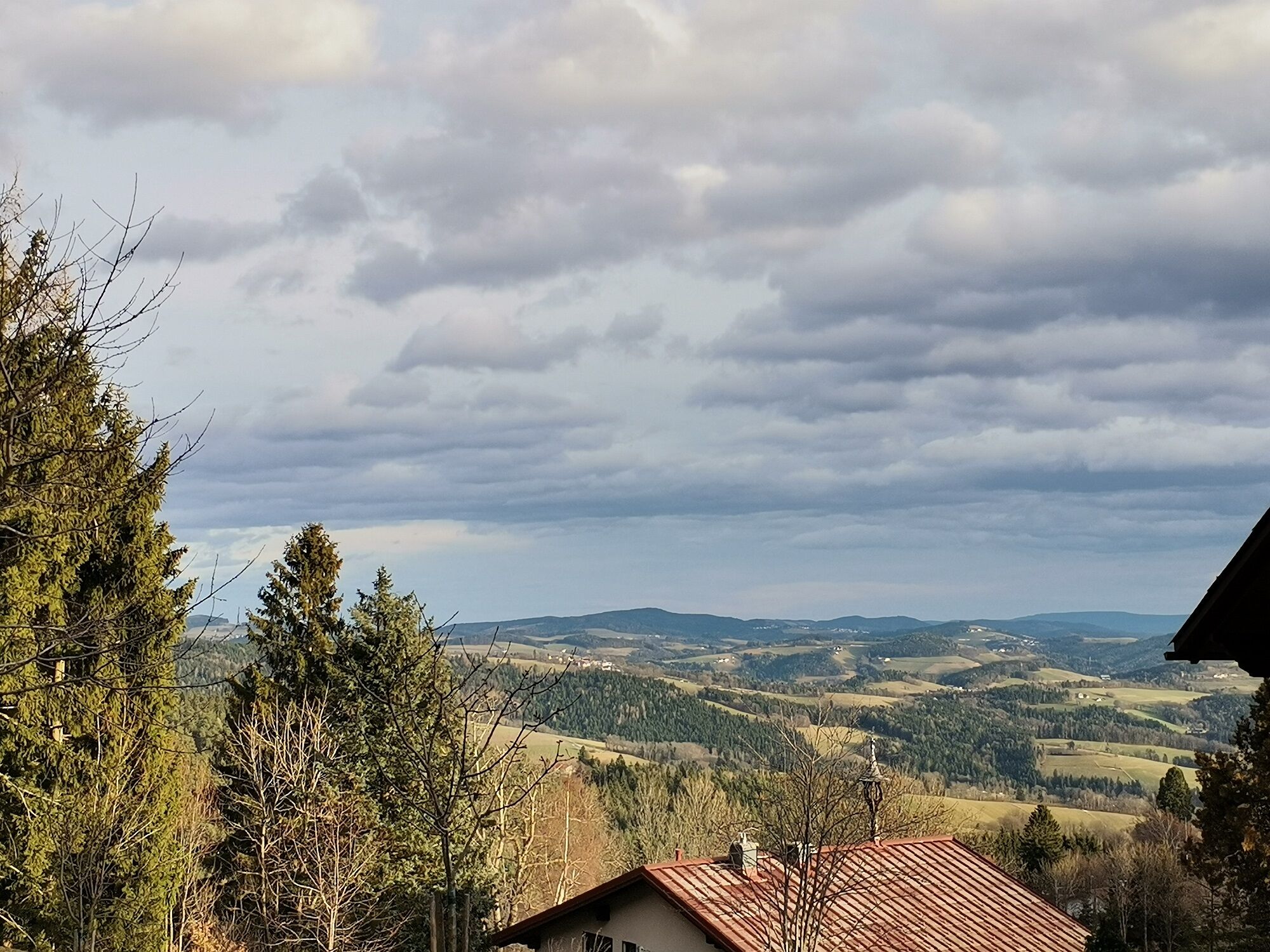
The route starts at Hotel Thier towards Kirchenwirt, passing the parish church Maria Namen and through the Jenseitspark with stone sculptures by local artist Christof Seiser. Past the Seiser Troadkostn...
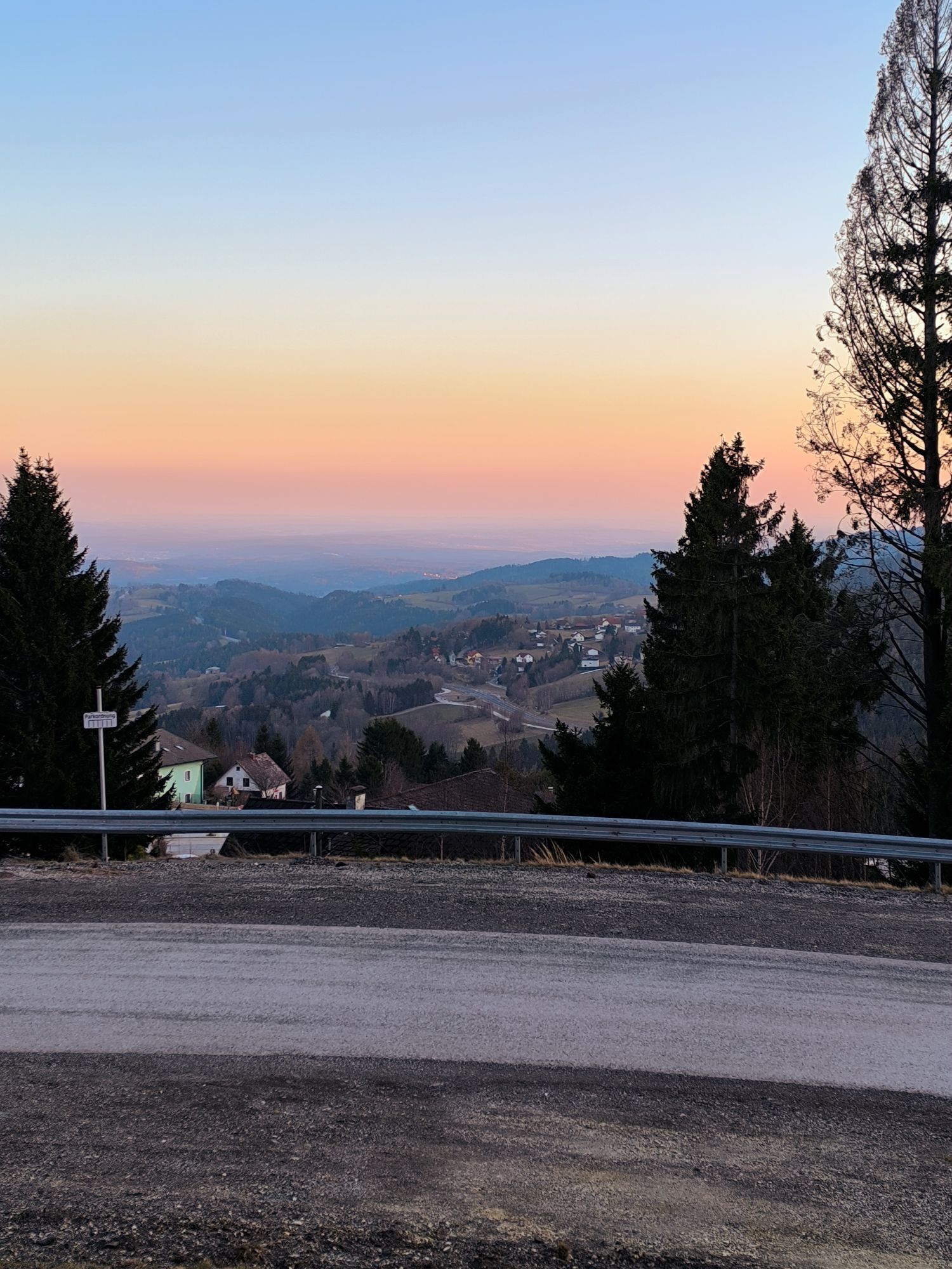
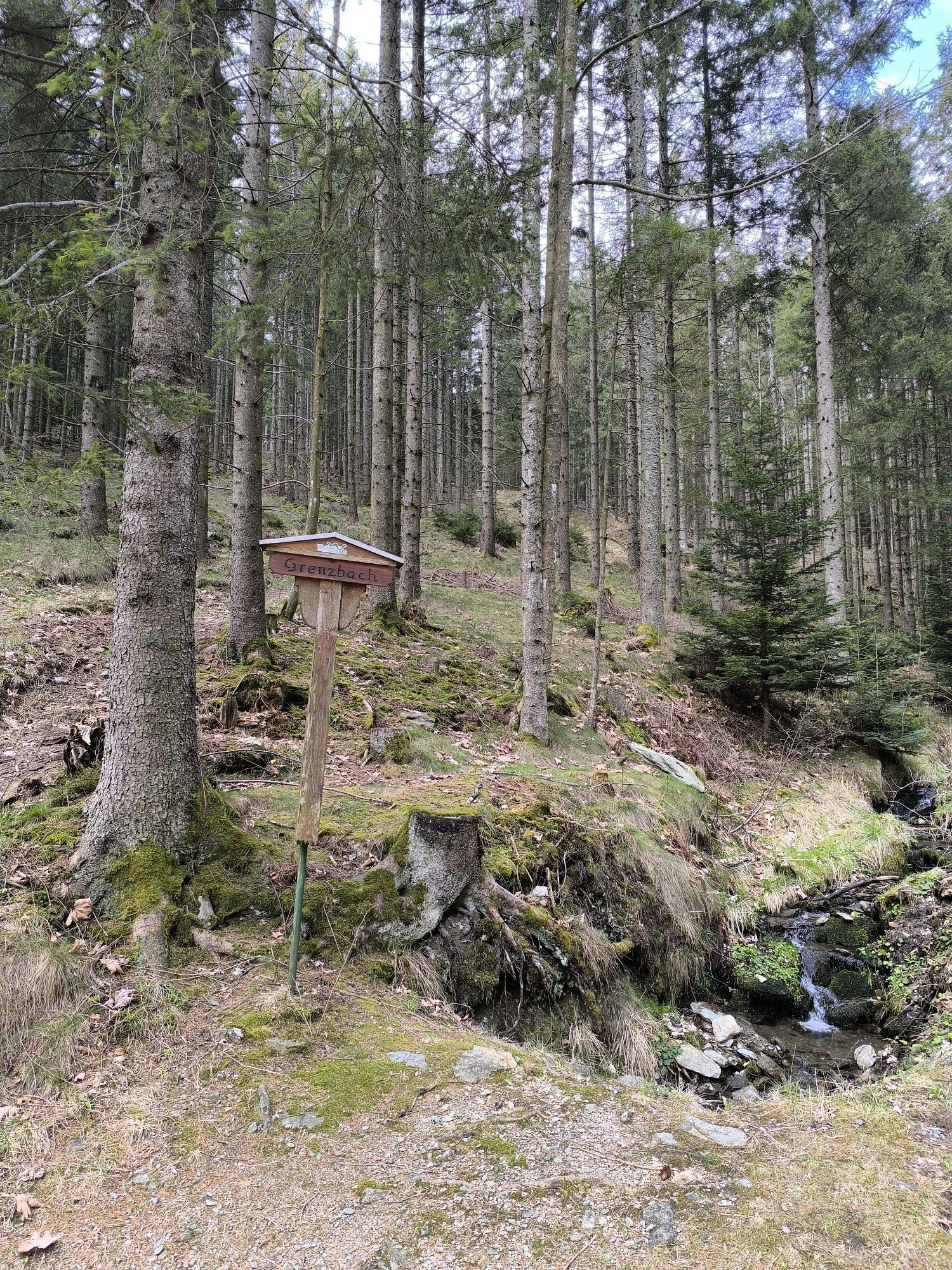
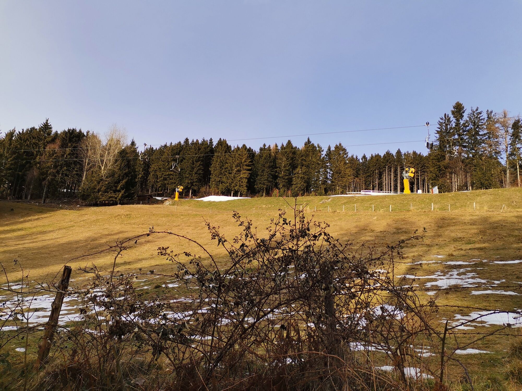
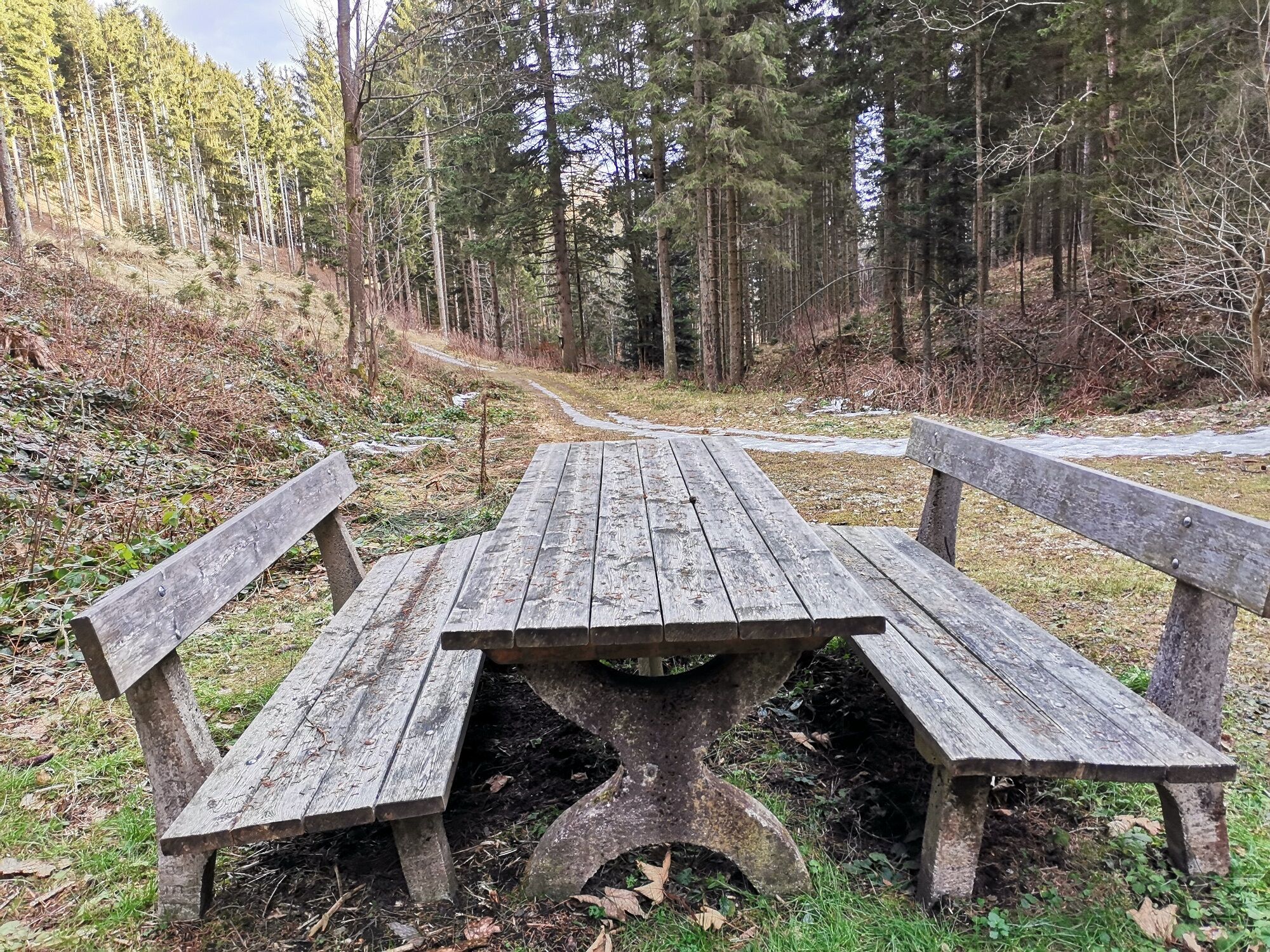
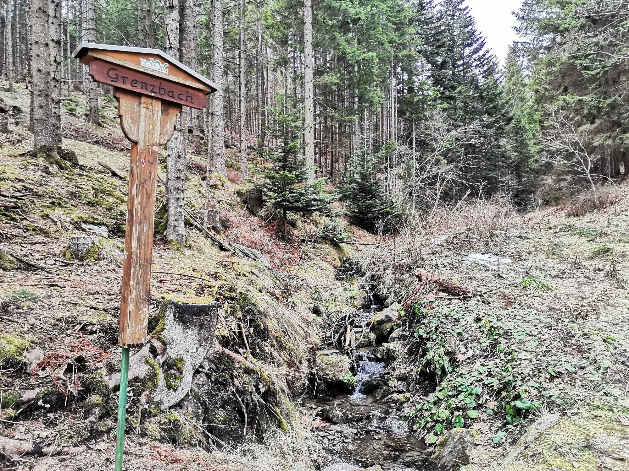
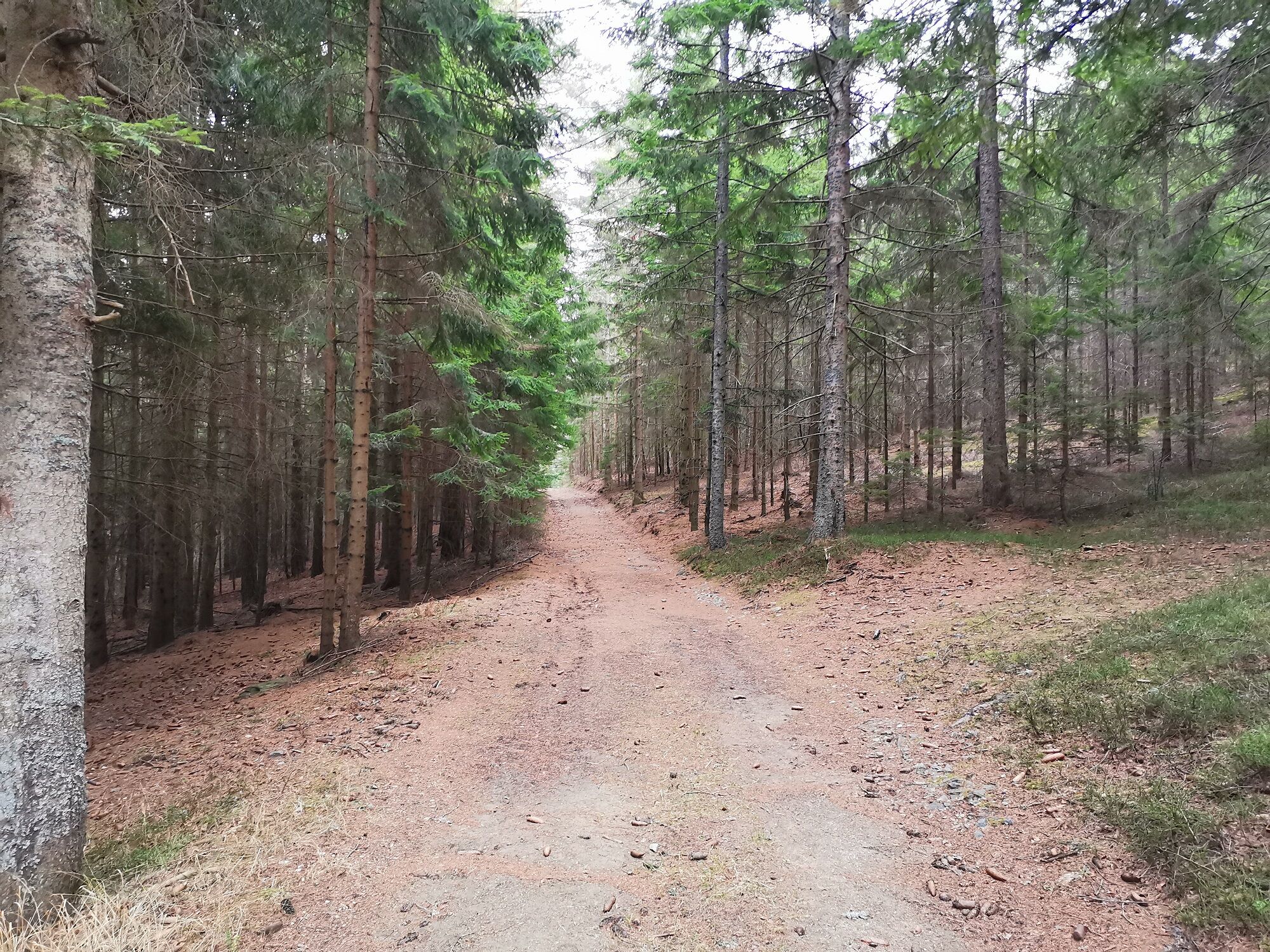
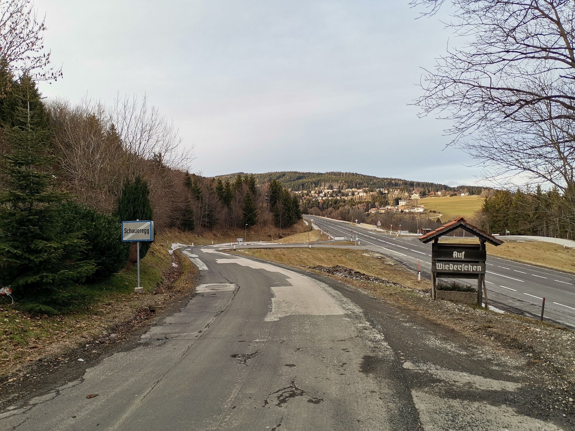
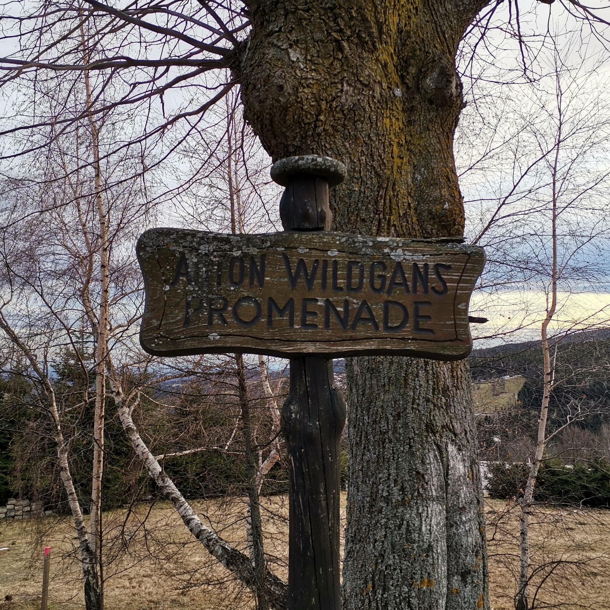
The route starts at Hotel Thier towards Kirchenwirt, passing the parish church Maria Namen and through the Jenseitspark with stone sculptures by local artist Christof Seiser. Past the Seiser Troadkostn - his studio and showroom - and below at Haus Seiser's slanting meadow turn right into the street. Follow the marking through the forest to the Grenzbach. An idyllic rest spot invites you to linger before it goes a bit uphill and continues on a beautiful forest path. Afterwards, there is a wonderful view, and it goes downhill to the former Binder inn towards Schaueregg. A short stretch along the road, cross the road and back through the Pfeffergraben. At the top, cross the B54 again to the Dreiländerblick Müllner-Rehberger rest house, then keep right for a short piece on the Anton Wildgans Promenade and along the road back to the starting point.
Always take suitable maps with you. Wear sturdy shoes appropriate for the route. Take your mobile phone and save the mountain rescue emergency number: 140
Preparation
Make sure when choosing the route that it matches your experience and fitness level. Check the weather forecast in advance. Weather in the mountains can change surprisingly quickly. Therefore, always set out properly equipped (e.g. rain protection).
Check if the inns you want to visit along the way are open. Inform someone about your route choice and planned return before you start.
Please check snow conditions before the hike. The path is mostly on forest trails.
From Vienna: A2 South Motorway through Pittental to Edlitz-Aspang exit, continue on the B54 Wechselbundesstraße towards Aspang and then continue on the B54 to Mönichkirchen.
From Graz: On the A2 South Motorway take Zöbern exit towards Aspang - to Mönichkirchen via the B54, or also via Pinggau exit and B54 Wechselbundesstraße.
From Aspang-Markt station take line 371 to the Hotel Thier bus stop (starting point of the hike)
Parking is available along the road near the "Hotel Thier" bus stop.
More info:
For a longer stay, consider the Hotel Thier, the Sonnenhof Hechtl, or the Gasthaus Dreiländerblick.
For a stopover, the Kirchenwirt or the Bäckerei Dorfstetter.
The route can also be shortened by following the marking towards Anton Wildgans Promenade at the Grenzbach.
Oblíbené prohlídky v okolí
-
4.8
Hochwechsel-Runde, Waldbach-Mönichwald
středníTrailrunning 17.9 km -
3.7
Schwaigen Rundwanderung
světloTuristika 8.24 km -
3.8
St. Corona - Kampstein
středníTuristika 10.7 km -
4.6
Mariensee - Wildwasserweg - Marienseer Schwaig
světloTuristika 8 km -
4.5
Rabl-Kreuz-Hütte auf den Hochwechsel
světloSněžnice 9.87 km -
4.5
Hochwechsel
středníTuristika 14.3 km -
5.0
Hochwechsel - Tour
Turistika 18.5 km -
4.7
Hochwechsel und Arabichl ab/bis Mariensee
středníTuristika 17.5 km -
4.0
Bucklige Welt: Burg Grimmenstein und Kulmriegel
světloTuristika 10.5 km -
4.7
Aspang Hochwechsel Panorama-Runde Wexl Trails mit "The WU"
středníMountainbike 57.5 km

Pěší turistika a stopování


Nenechte si ujít nabídky a inspiraci pro vaši příští dovolenou
Vaše e-mailová adresa byl přidán do poštovního seznamu.