


Kleiner Bärentrail
Na parkovišti BÄRENWALD začíná také Malá medvědí stezka. Z parkoviště se vydejte po hlavní silnici krátce doleva a opět odbočte vlevo. Přes Glashüttenhäuser, Rosenegg a Galgen vede stezka do Arbesbachu...
Na parkovišti BÄRENWALD zaÄíná také Malá medvÄdí stezka. Z parkovištÄ se vydejte po hlavní silnici krátce doleva a opÄt odboÄte vlevo. PÅes Glashüttenhäuser, Rosenegg a Galgen vede stezka do Arbesbachu (možnost návštÄvy zÅíceniny hradu "Stockzahn"). Stezka vás dovede na Arbesberg (vyplatí se zajížÄka na skalnatý "vrchol") a pÅes Teufelsmauer ke vstupu do Altmelonu. Malá medvÄdí stezka pak odboÄuje doleva (existuje však možnost zkratky pÅes obec Altmelon) a spojuje se s Velkou medvÄdí stezkou. PÅes "Luaga Lucka" pokraÄujete po trase Velké medvÄdí stezky do Altmelonu (hostince). PÅes Meloner Au, kolem "Auwächter" a pÅes Purrath se vrátíte zpÄt na BÄRENWALD.

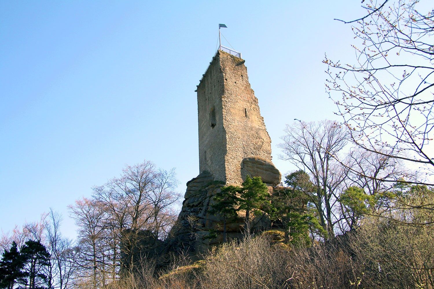
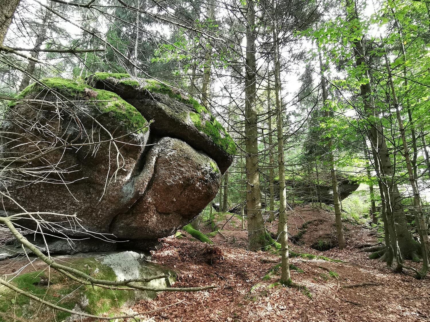
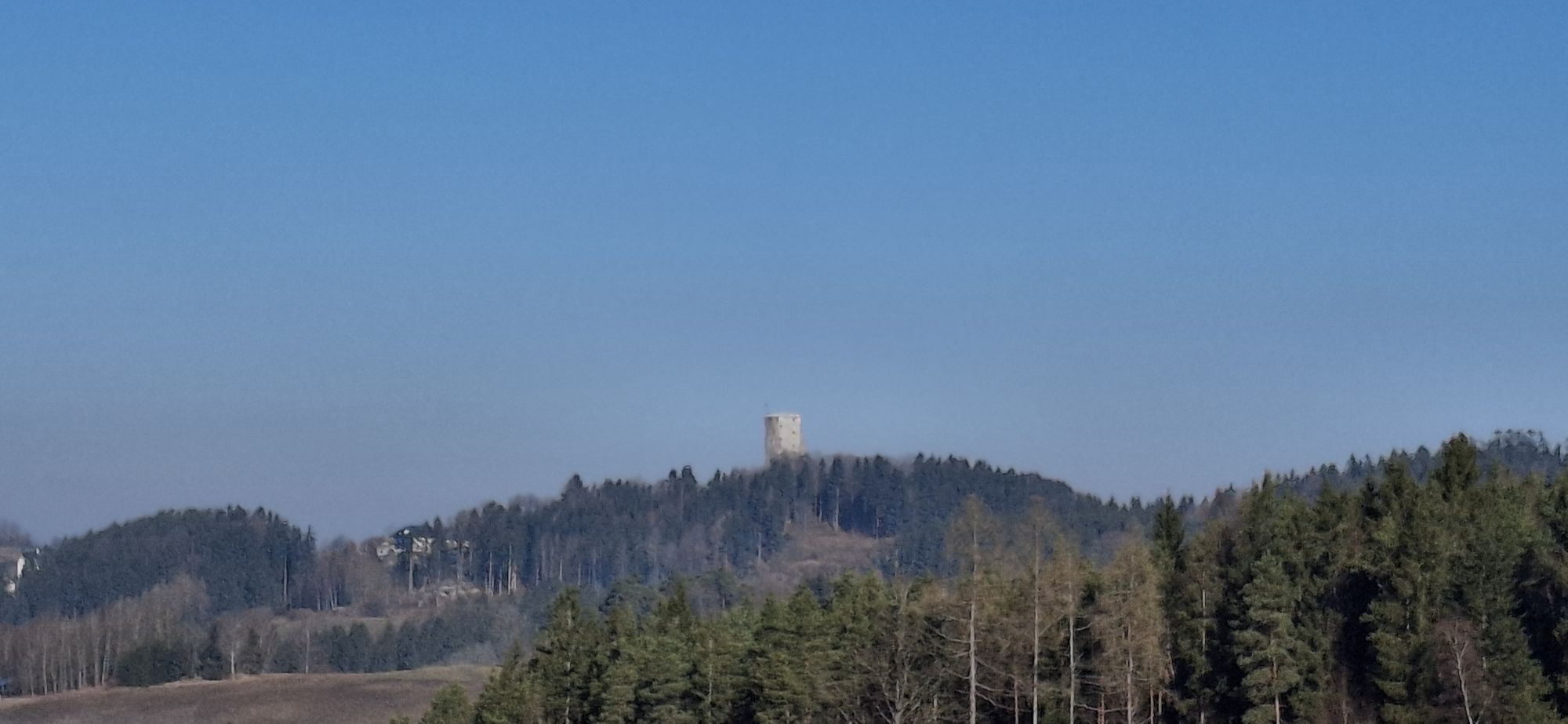
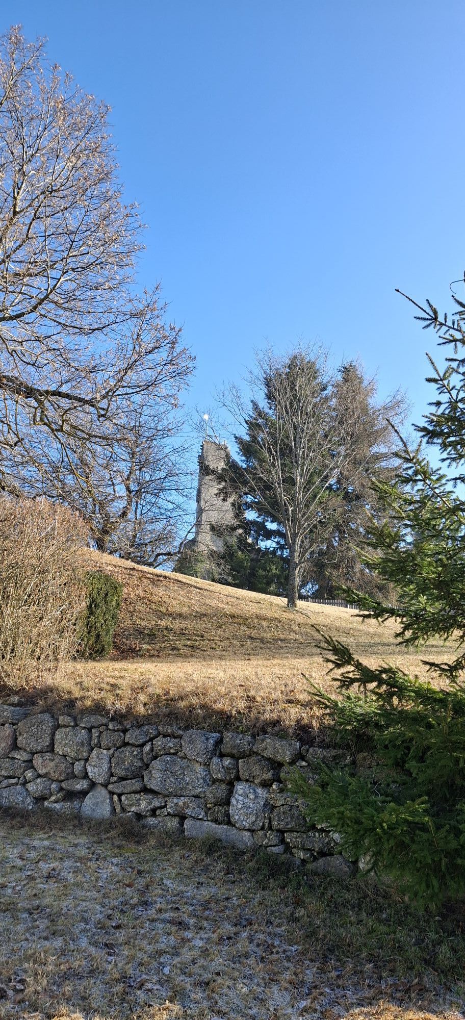
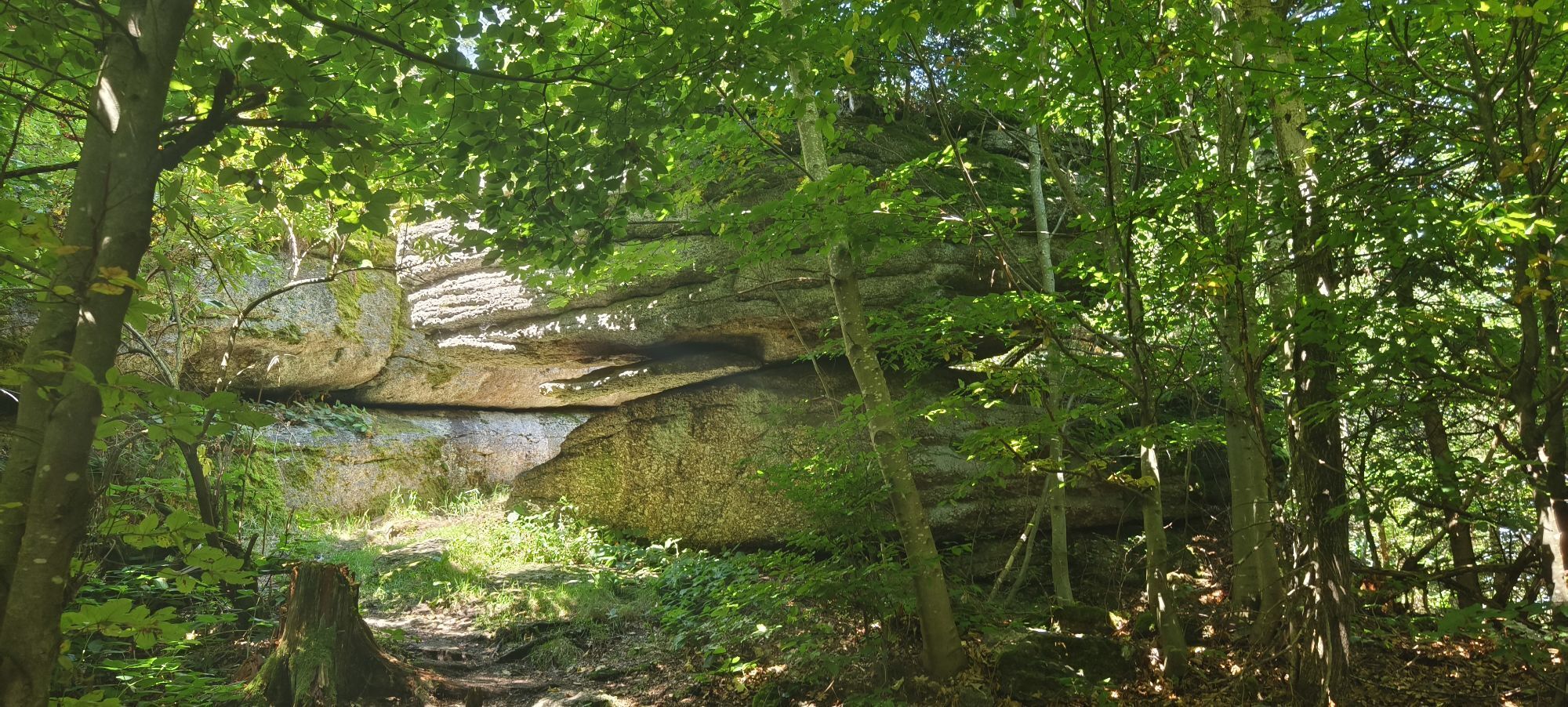
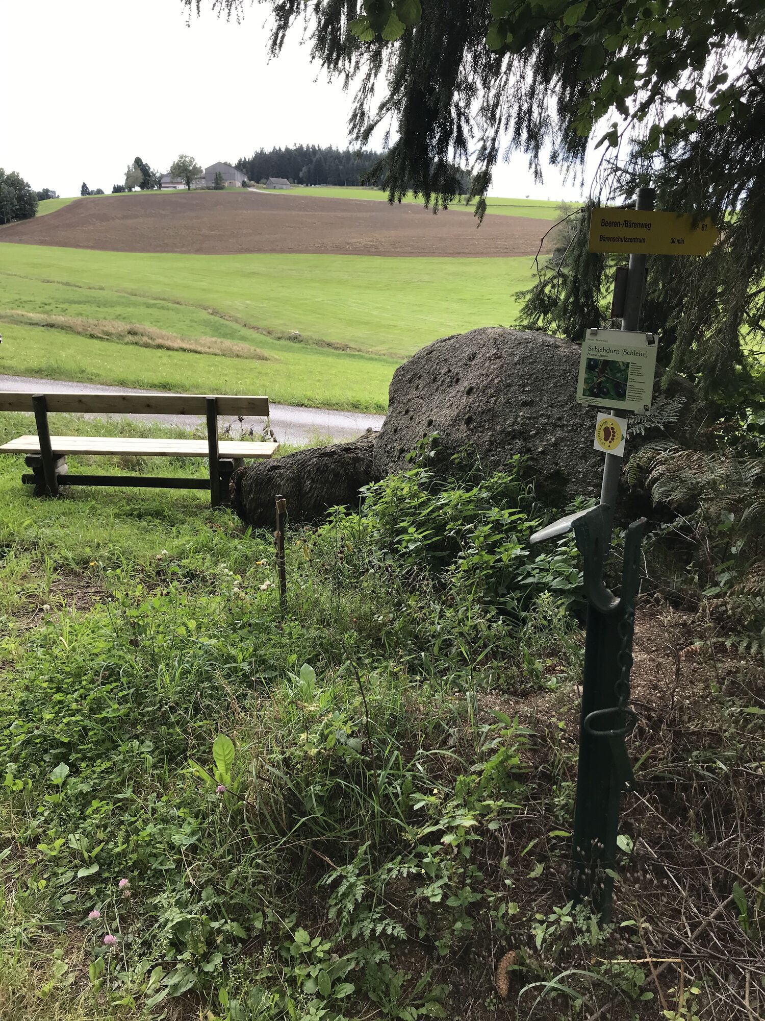
From the Bärenwald, take the Federal Road 124 towards Arbesbach for about 300 m, then turn left to “Glashütten”. You follow the Beeren/Bärenweg (No. 81) for a while, pass Staudenbauer and Rosenegg, and wander the tranquil path through the “Forst”. Just before Arbesbach, one of the last preserved gallows in Lower Austria can be visited. In town, head towards the castle ruins, the “Stockzahn of the Waldviertel”, and take the “Bee-themed path” for part of the route. Over the open landscape of Scheibenfeld, you reach a small, abandoned farmhouse and bypass the Arbesberg. A detour to this rocky slope is definitely worthwhile because of the magnificent granite monoliths and the Klauser Cave (“Sidestep Arbesberg”).
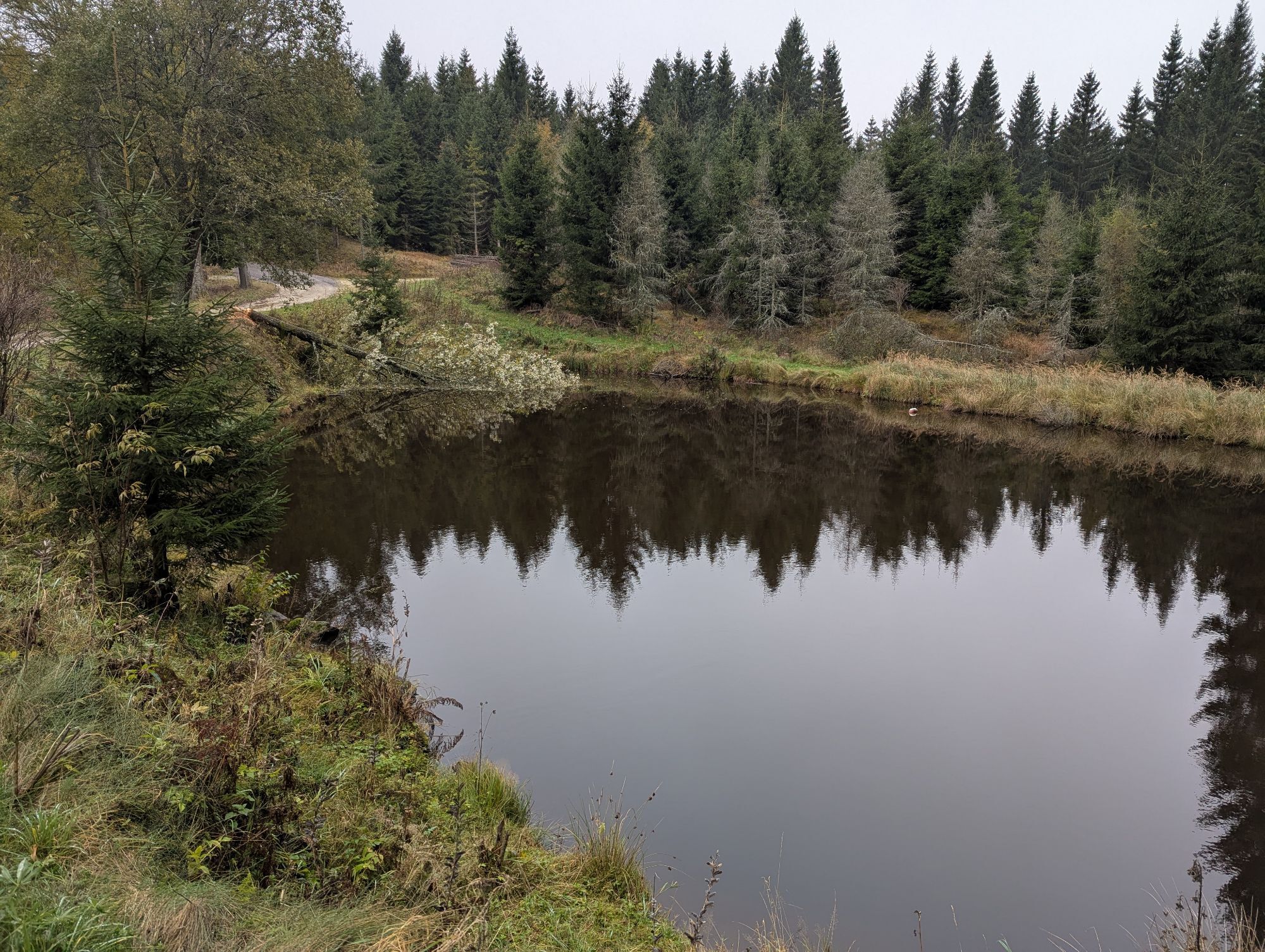
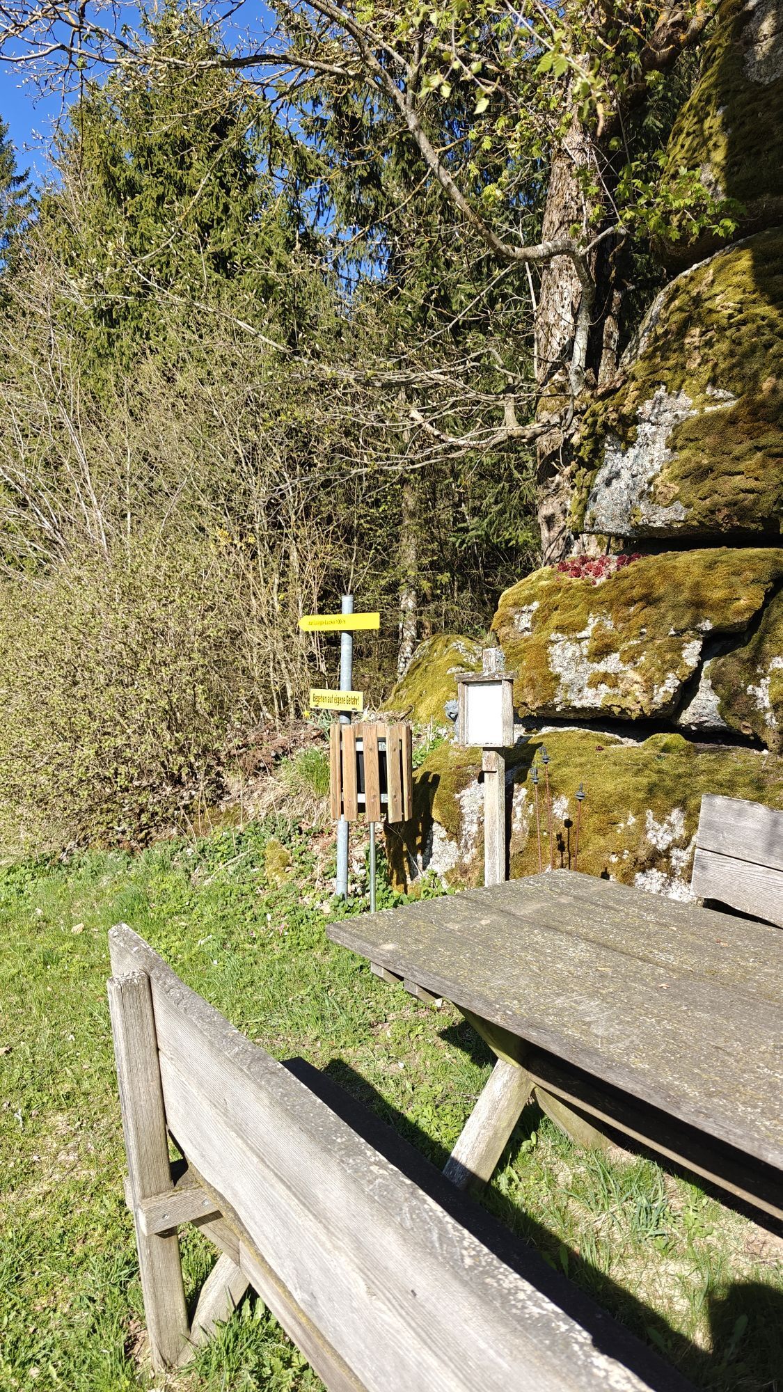
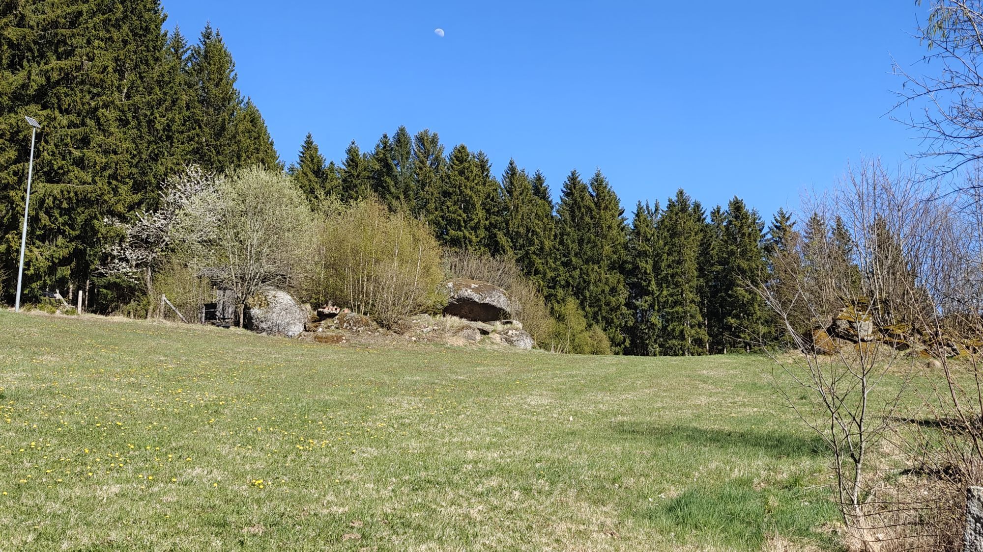
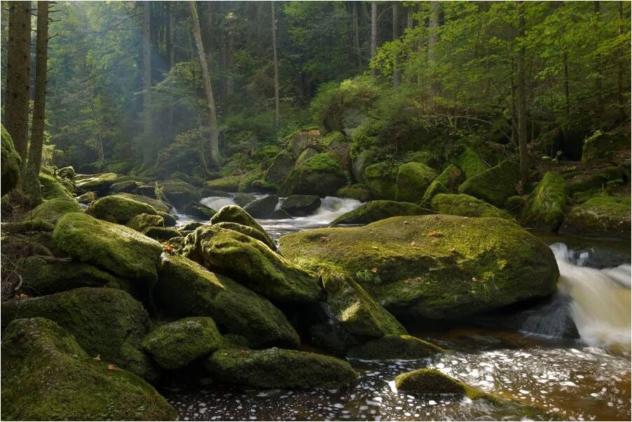
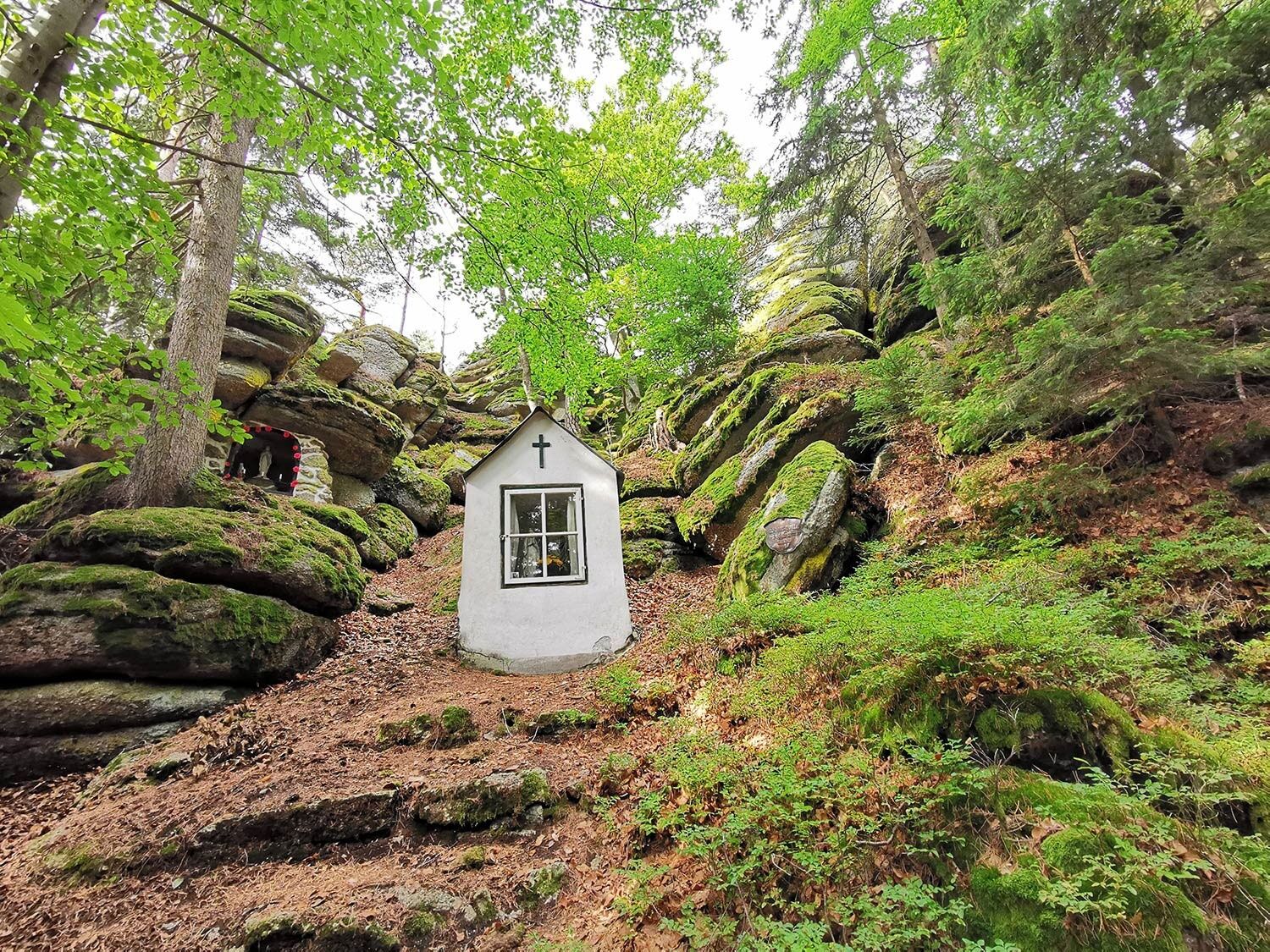
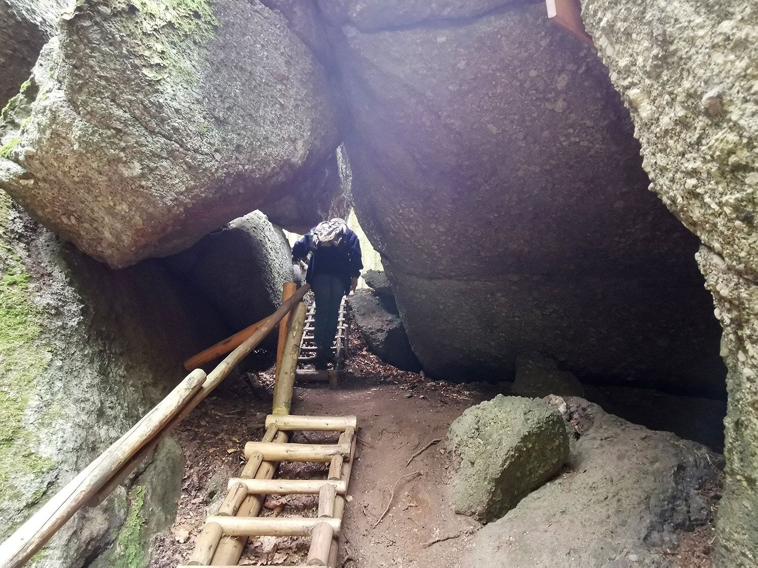
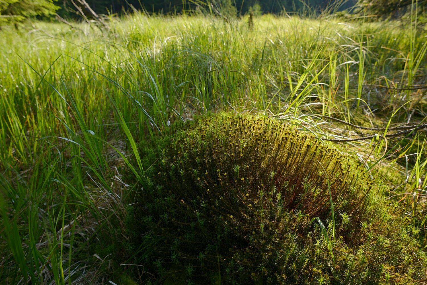
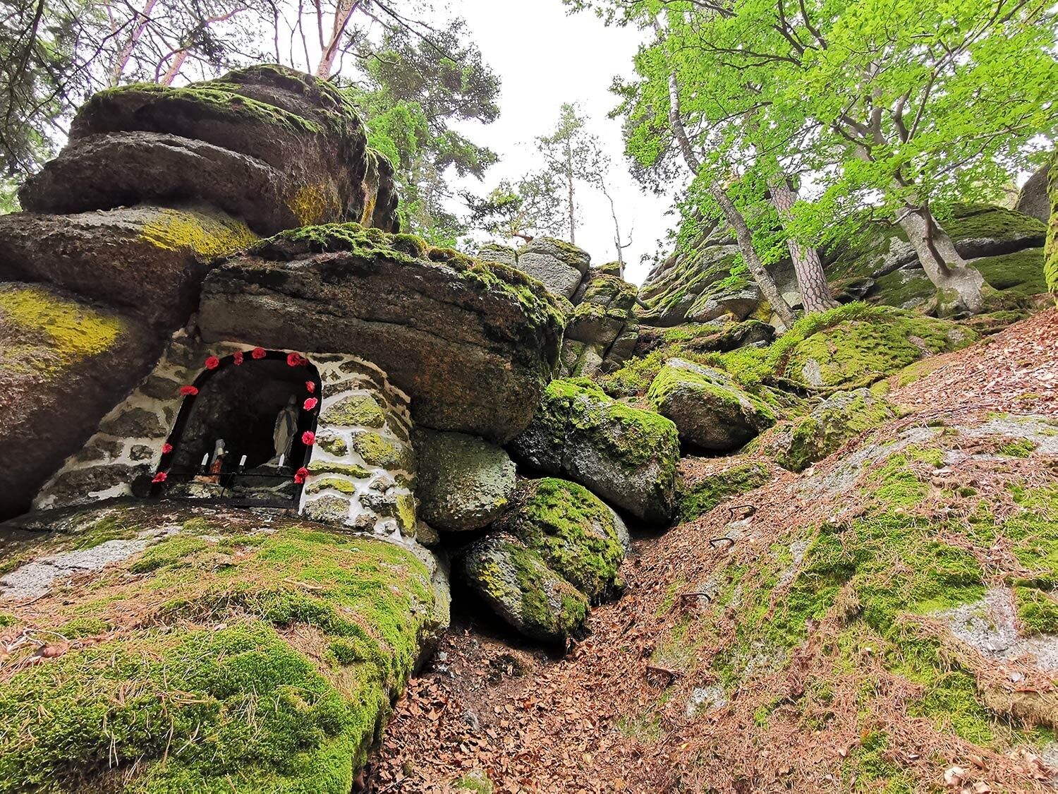
Cross Federal Road 119 and through the Reutlüsse to reach the Teufelsmauer, a rock formation impressive for several caves. Here lies the municipal border of Arbesbach/Altmelon. Past the original Hundemoor bathing pond, you reach the federal road again. Turn left onto it, follow for about 400 m, then turn right onto the farm road towards Perwolfs. Follow this only about 200 m, then turn right again onto unpaved paths towards Schalenstein. Here, at 900 meters elevation, you have an open view of the peaceful landscape. Then you go downhill on the right into the forest and cross the Galgenbergbach. At the gravel road curve, you encounter signposts for the Great Bärentrail and the Teddybärentrails. Together, you proceed through dreamy forest towards Gaubitzhof. Just before, a short side path on the left leads to the adventurous Luaga Lucka (stones, naturally! Millions of years old! Described as a stone cave with several chambers).
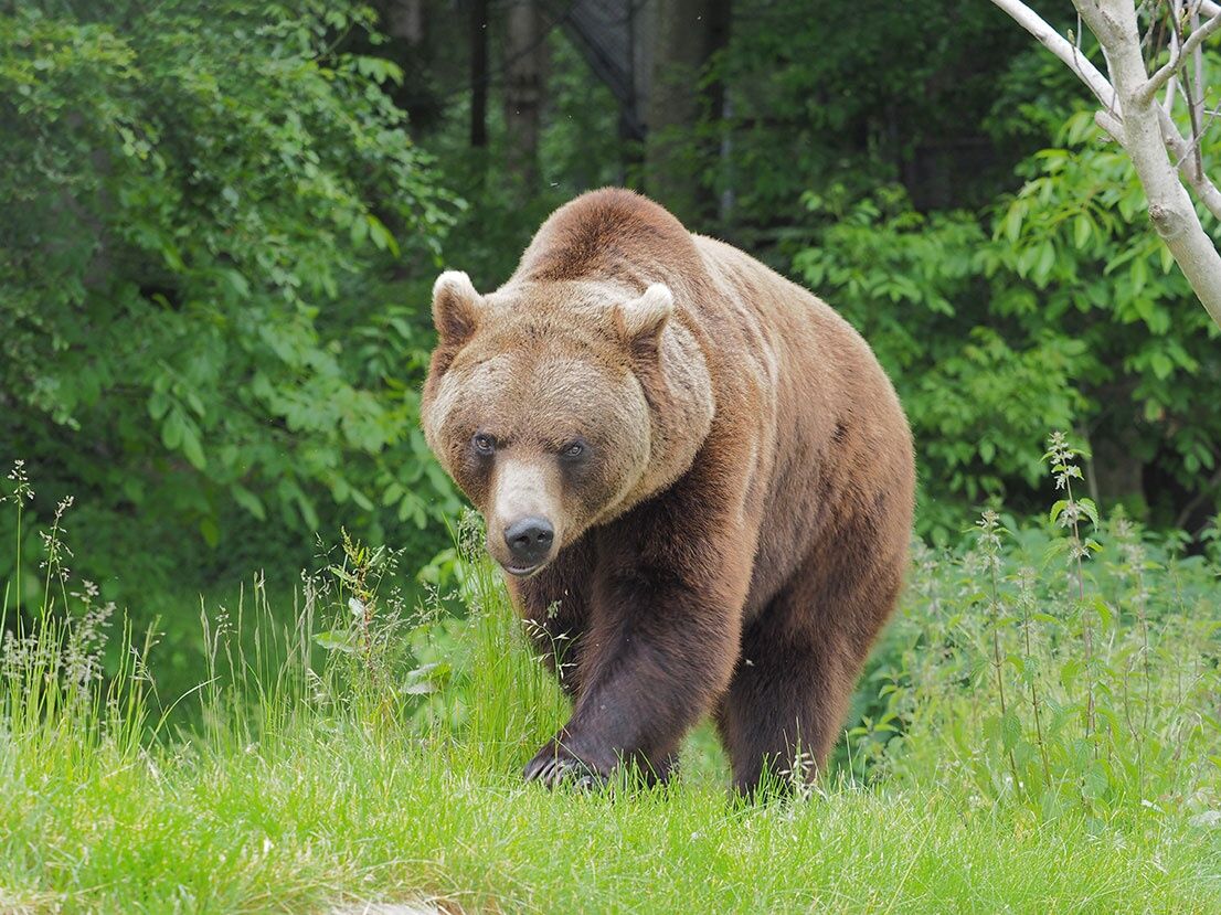
You take the farm road that brings you to the center of Altmelon (simply called “Mauhjo” by locals). Here, you can turn left immediately at the fire station towards Meloner Au, or you can continue further into the village center (with dining options; or you can do a small additional loop on path 70 over the Pfarrerstuhl including surrounding stone giants). Afterwards, you get an overview at the panoramic board and head via Ahornberg towards Meloner Au (pardon! Mauhjoner Au!). On the farm road, you walk to a parking bay. Here you find additional signs that, depending on the season, guide you either straight ahead or right towards the moor forest. At certain times, black grouse are protected here by a temporary access ban, and you are asked to comply. The large granite block called Auwächter will watch you! (If you want to experience more of “Meloner Au”, you can book a moor experience hike with nature guide Michaela Auer. This leads along winding paths past the Altmelon healing moor to hidden treasures of fauna and flora. These typical moor elements act like a tiny time window casting light on the past when elk, wolf, and brown bear were still native to the Waldviertel.)
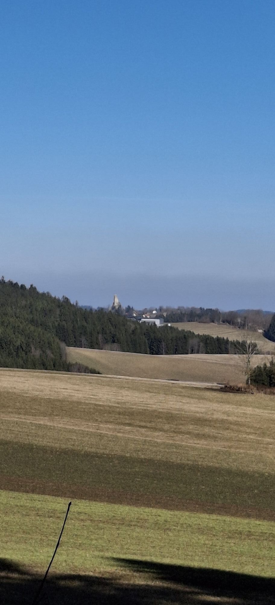
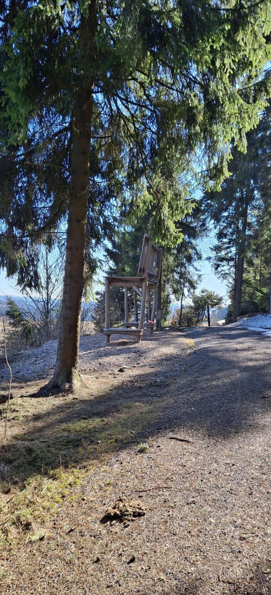
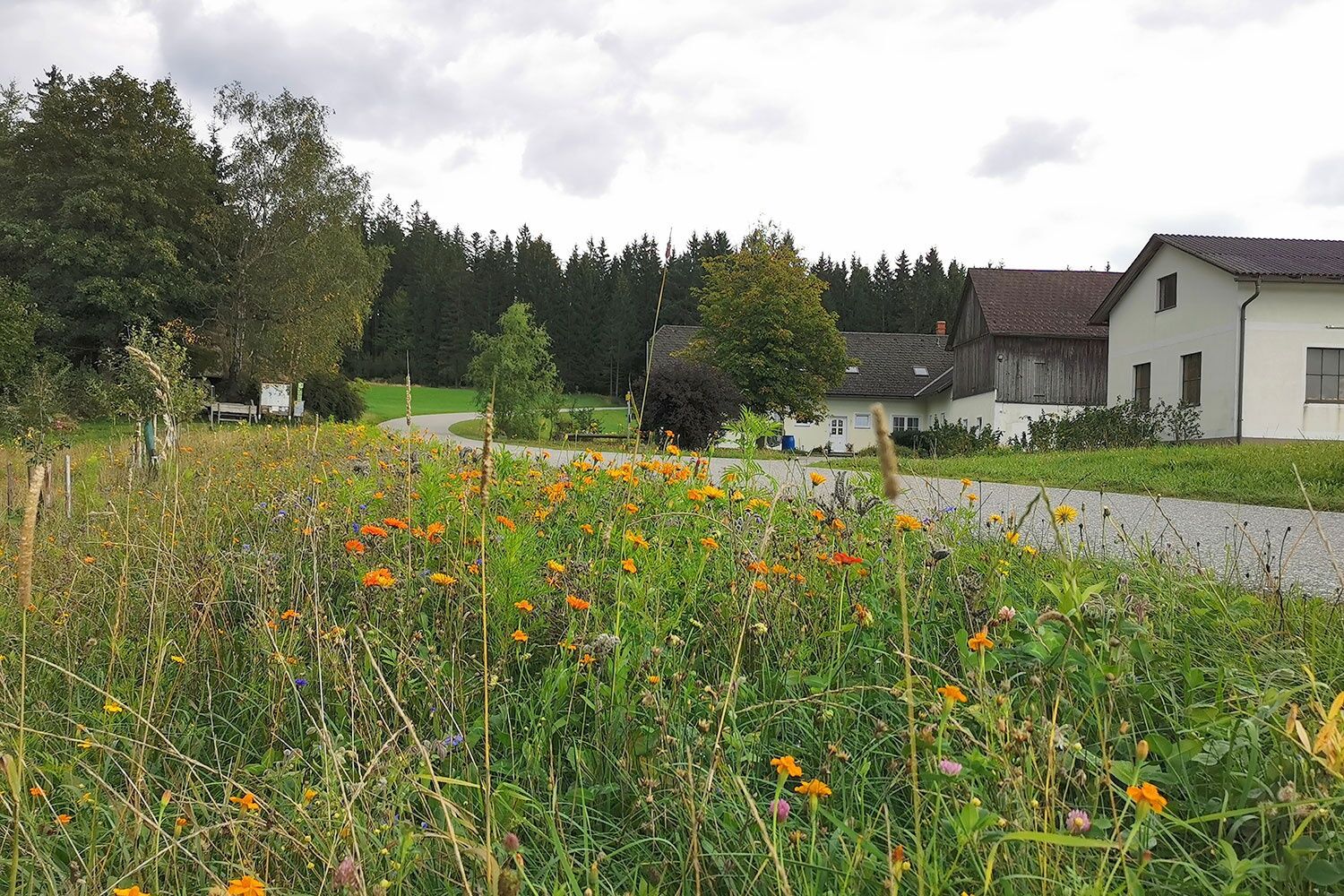
Passing Wachtelhof and the farmers’ museum, you reach a small pond and cross the Weinbergbach. Over meadows and fields, the path leads you to the federal road and on it you turn left. Yes! Left, when actually you should turn right, bitter so close to the destination! But: the beautiful view west of Purrath, which on clear days extends to the Alps (best from the “Riesenbankerl”), is worth the small detour. After Ödhof, it is only a stone’s throw back to the Bärenwald.
Ano
Good hiking shoes, rain jacket. Backpack with drink and snacks.
Exercise special caution around the Luaga Lucka in wet or icy conditions. Sure-footedness required; secured paths are present.
via B 124, approx. 25 km southwest of Zwettl
You don't need a car to hike the Bärentrail! We have prepared the exact (bus) schedule for you: www.baerentrail.at/oeffi-guide
directly in front of the Bärenwald
http://www.baerentrail.at/
Bärenwald: +43 2813 7604 | www.baerenwald.at
Altmelon: +43 2813 292
Arbesbach: +43 2813 7000
Rappottenstein: +43 2828 8240
Groß Gerungs: +43 2812 8611
Restaurants & accommodations along the route can be found at: www.baerentrail.at/essen-schlafen
Webové kamery z prohlídky
Oblíbené prohlídky v okolí
-
4.0
Burgstall-Wanderweg Nr. 3
středníTuristika 11.8 km -
3.8
Wandern im Liebenauer Moor
světloTuristika 4.16 km -
4.5
Teddybear Trail Lohnbachfall
světloTematická stezka 4.41 km -
4.8
Natur-Geheimnis-Pfad Nr. 5
světloTuristika 4.04 km -
3.6
Bärnkopf Ysperklammstrecke
heavyMountainbike 31.0 km -
4.6
Rappottenstein
světloTuristika 10.1 km -
Bärnkopf Ysperklammweg Nr. 64
středníTuristika 16.6 km -
4.2
Unterweissenbach - Hirschalm
středníTuristika 16.5 km -
4.7
Höllfall und Lohnbachfall
Turistika 13.8 km -
5.0
Bärnkopf Lichtbergweg Nr. 65
středníTuristika 8.82 km
Pěší turistika a stopování


Nenechte si ujít nabídky a inspiraci pro vaši příští dovolenou
Vaše e-mailová adresa byl přidán do poštovního seznamu.