




The Towers of the Vienna Woods - Circular Day Stage 2

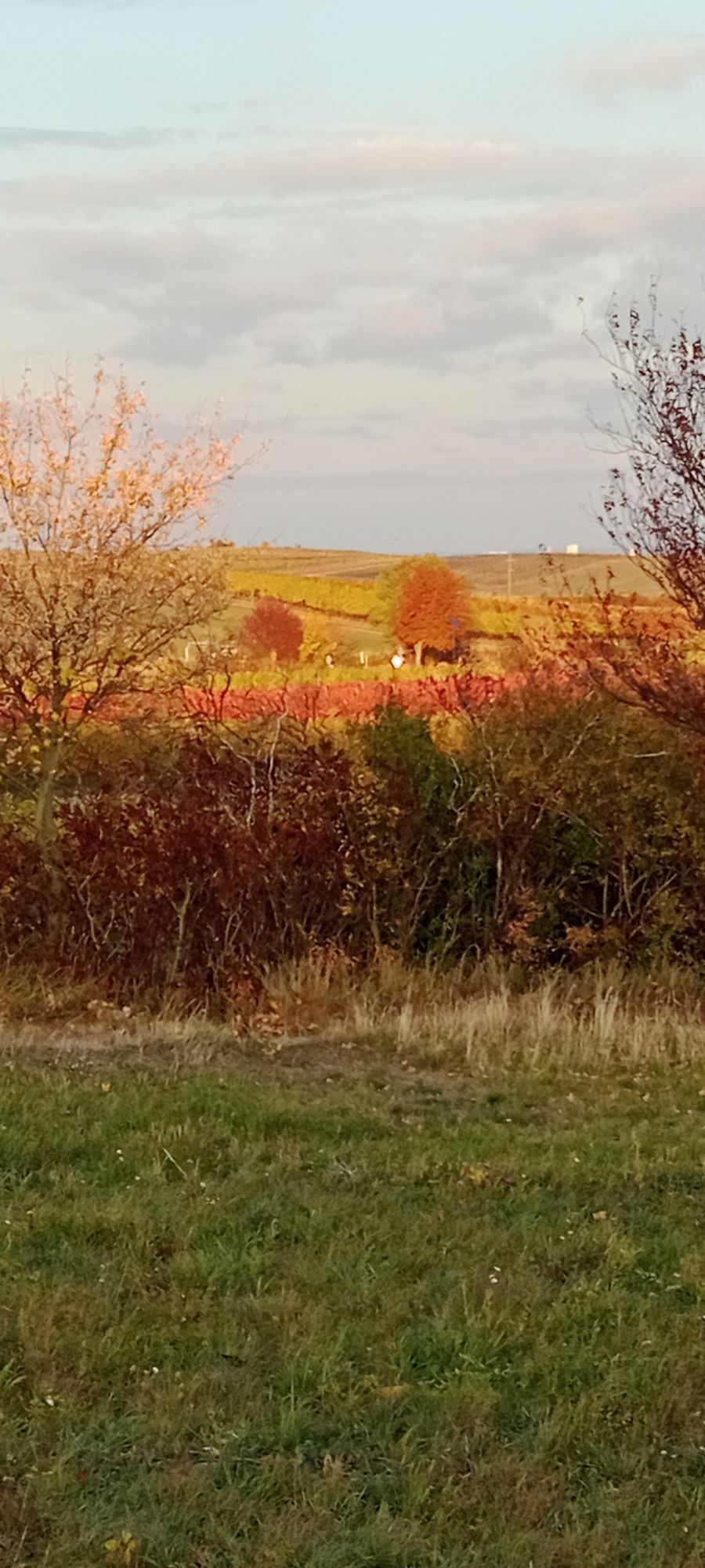
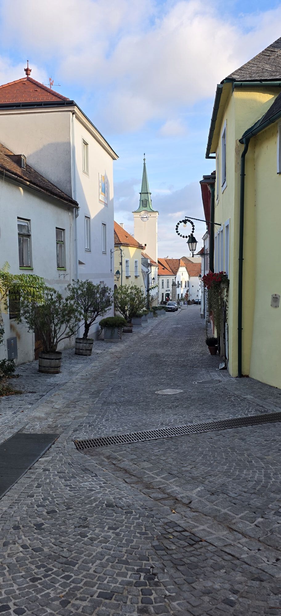
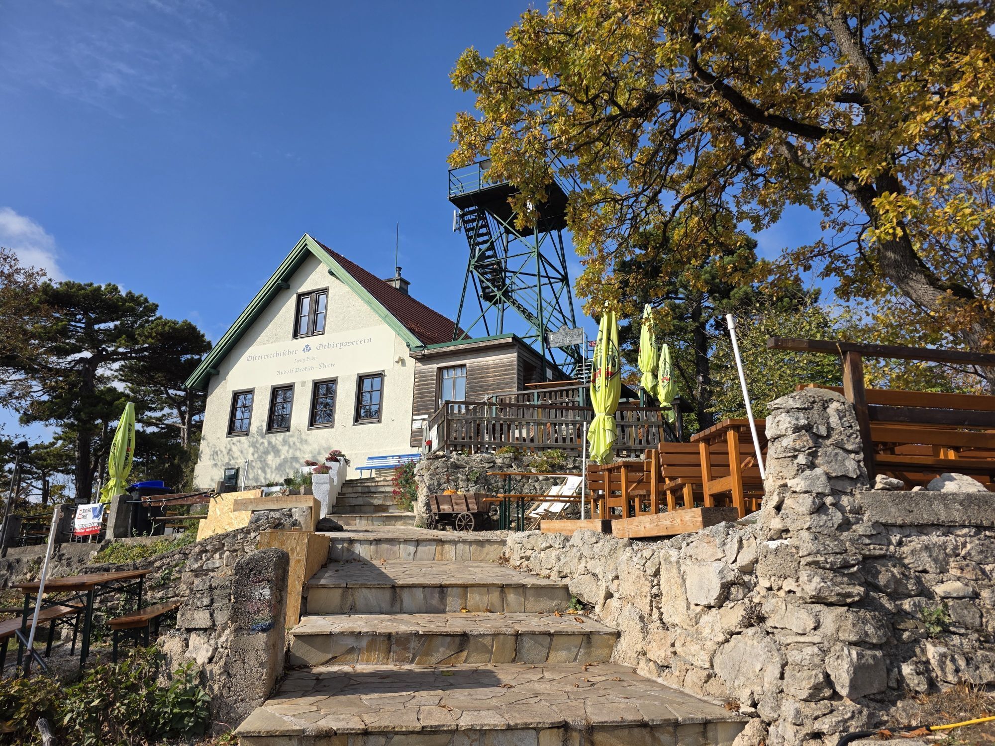
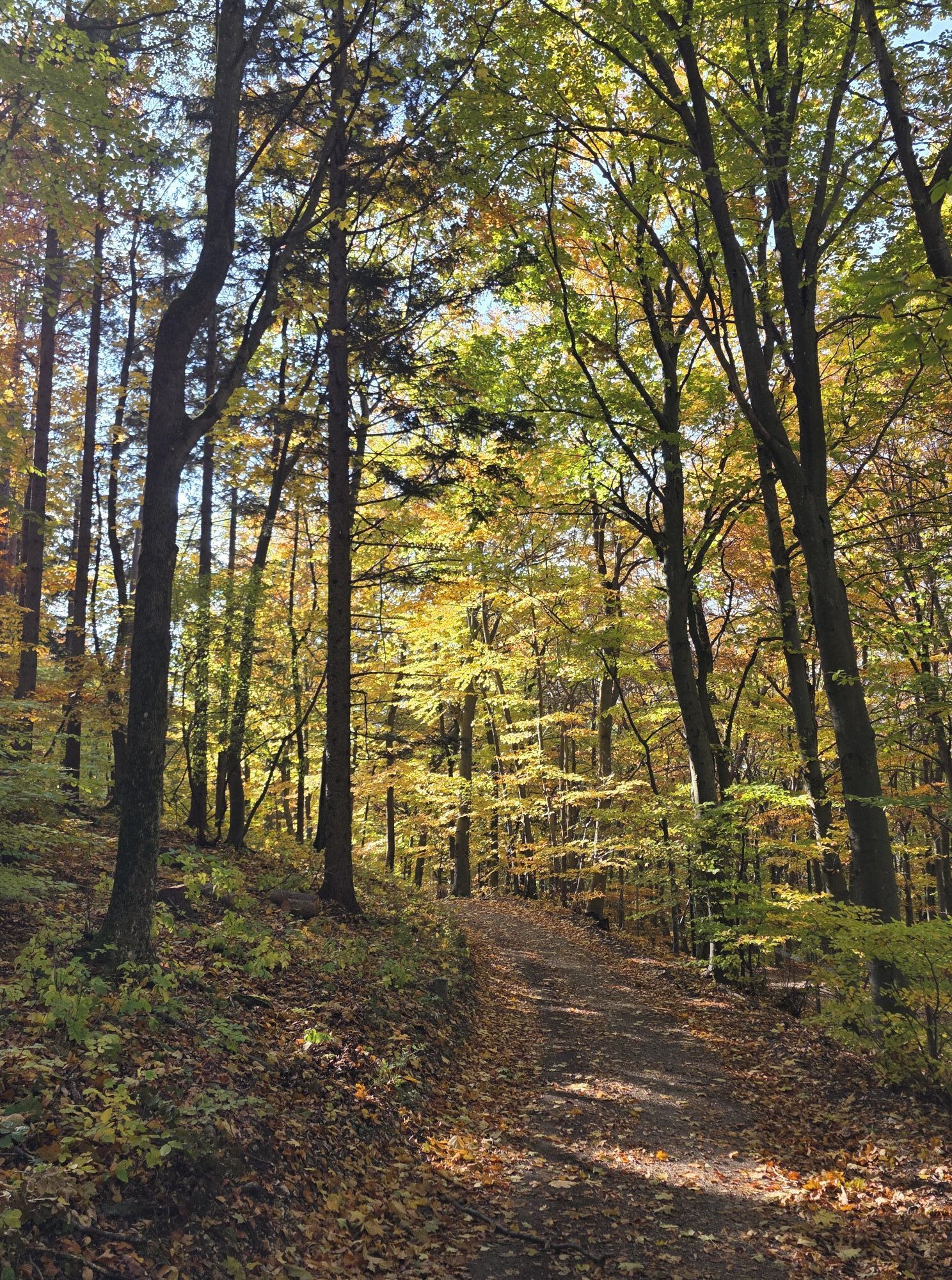
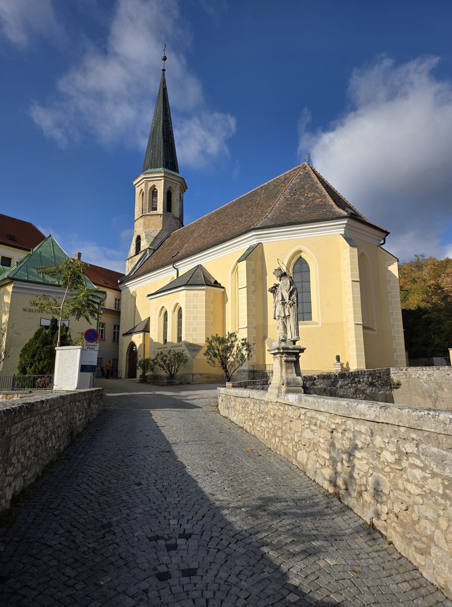
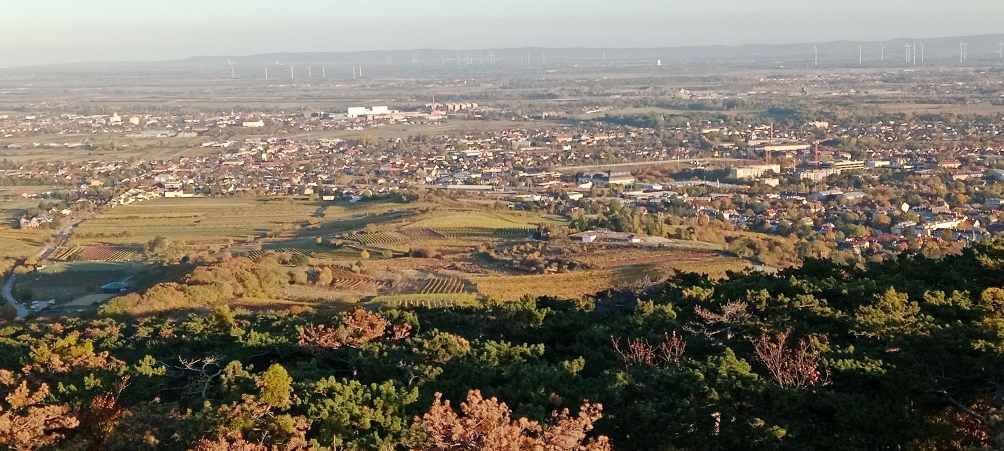
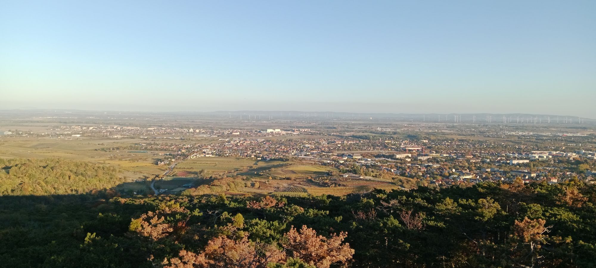
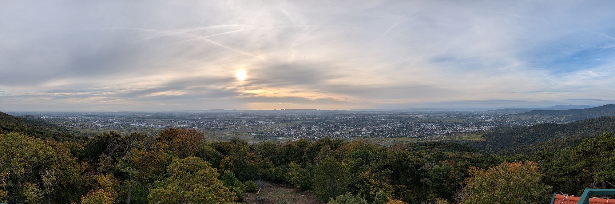
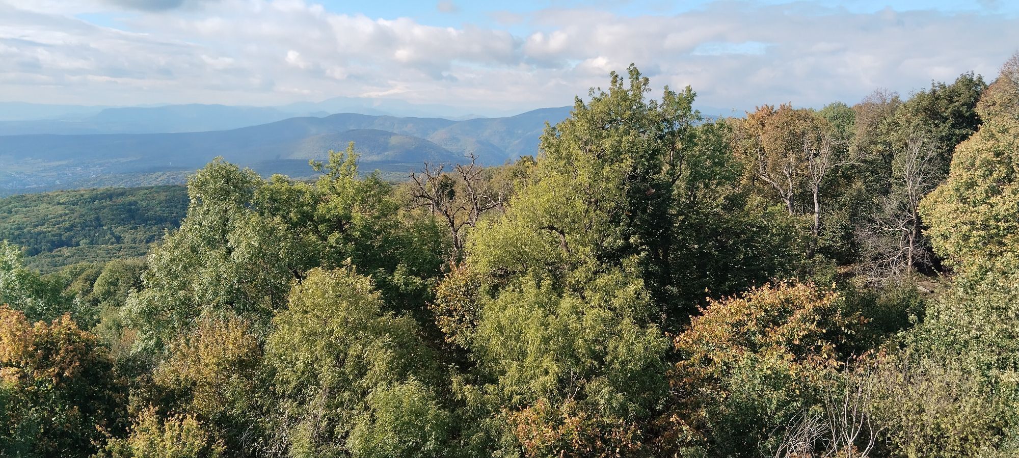
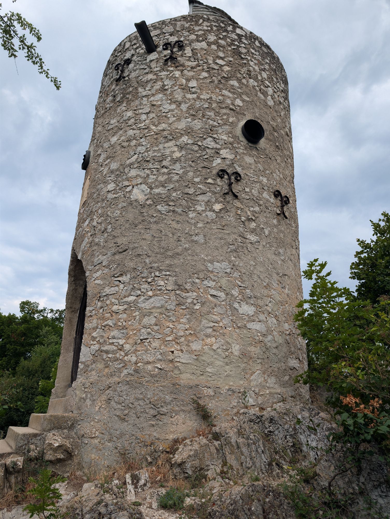
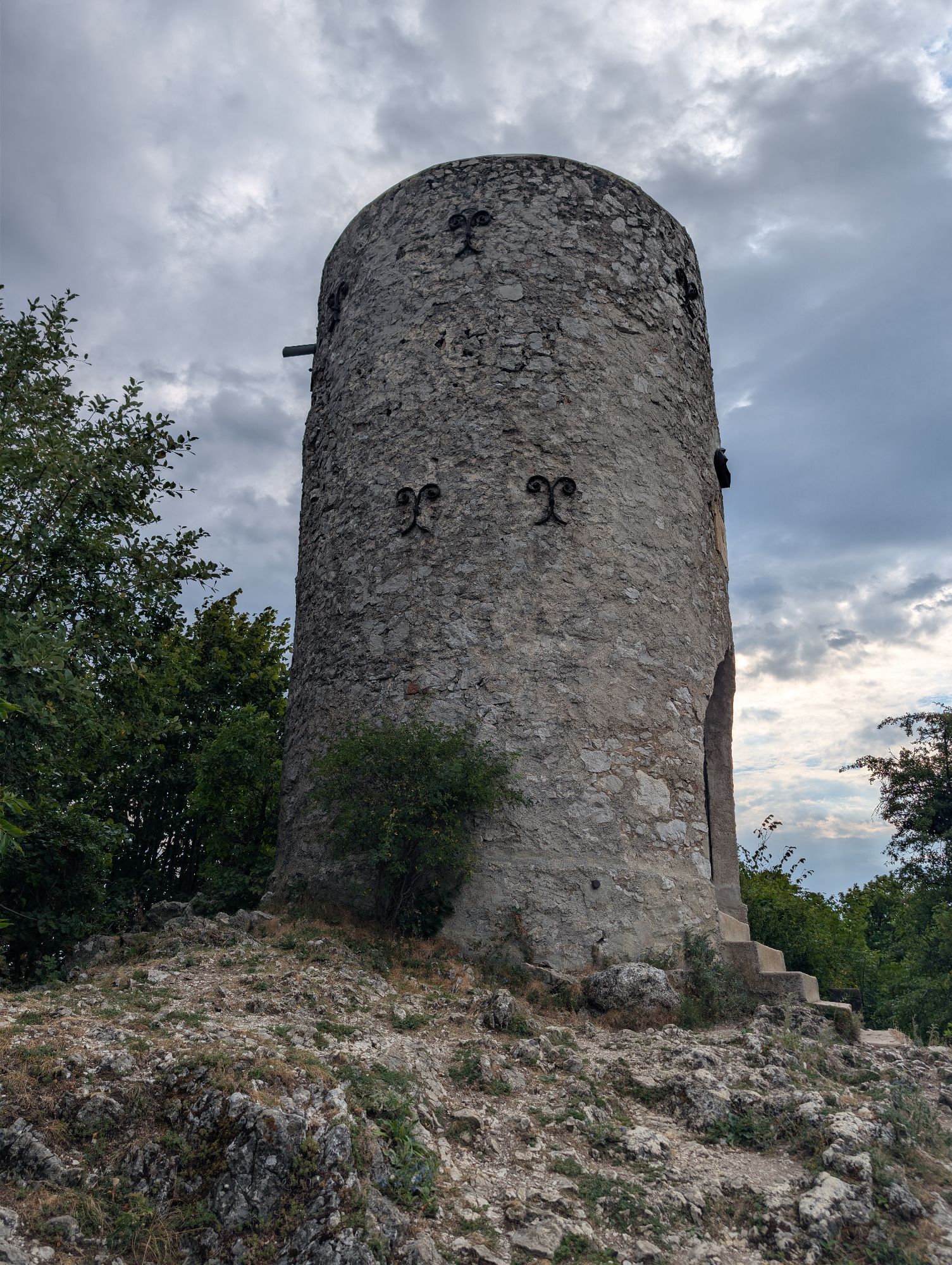
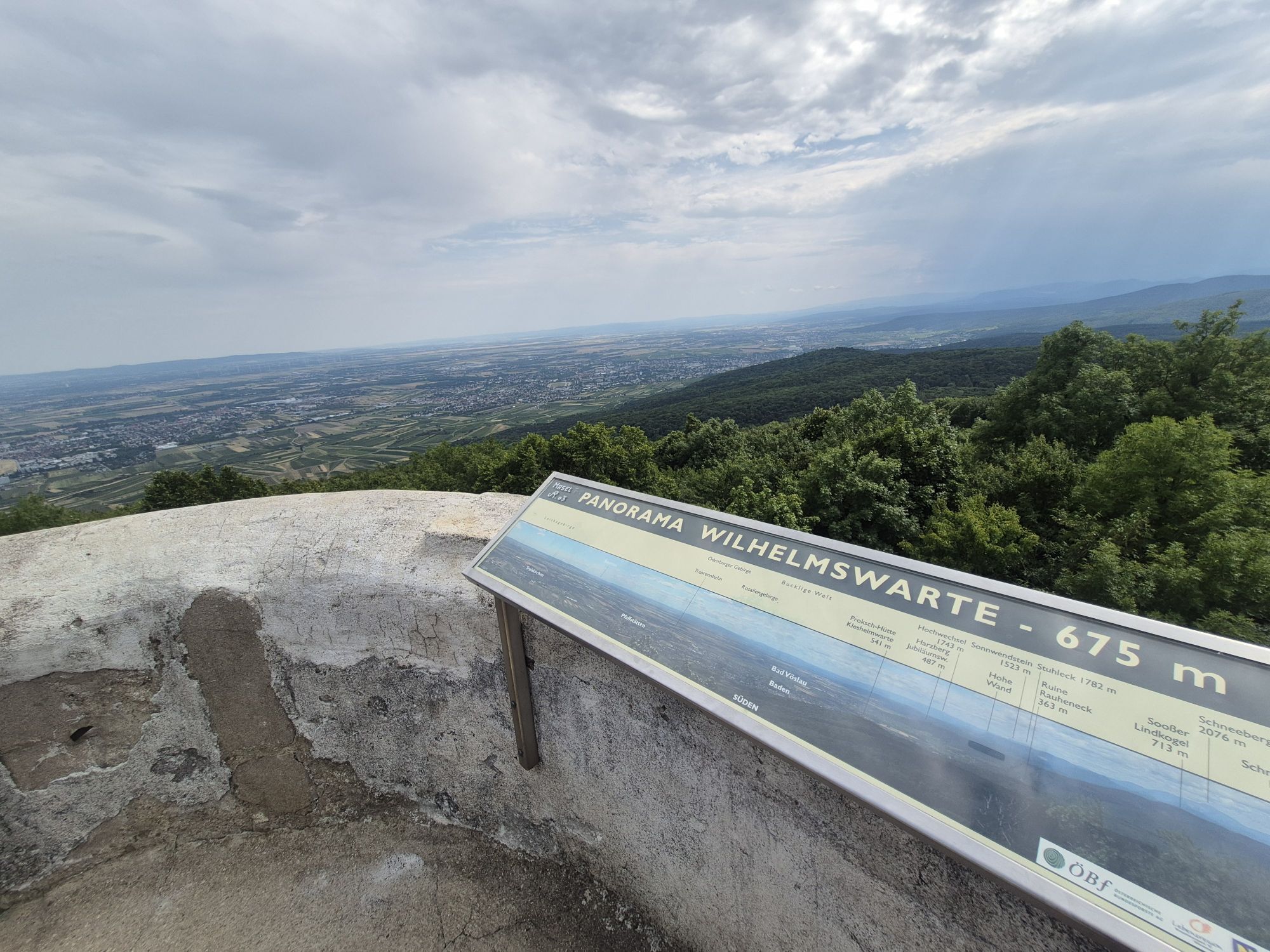
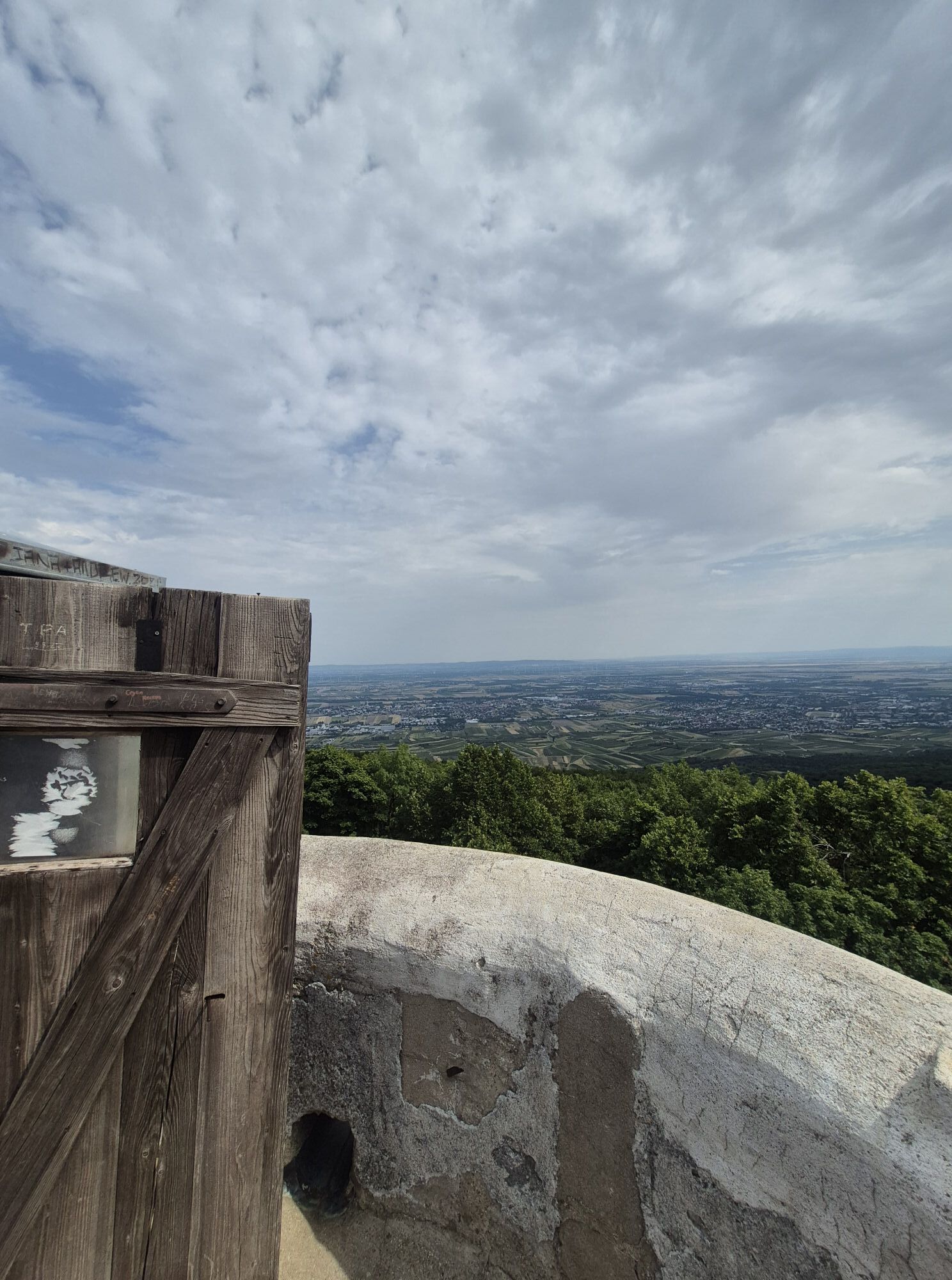
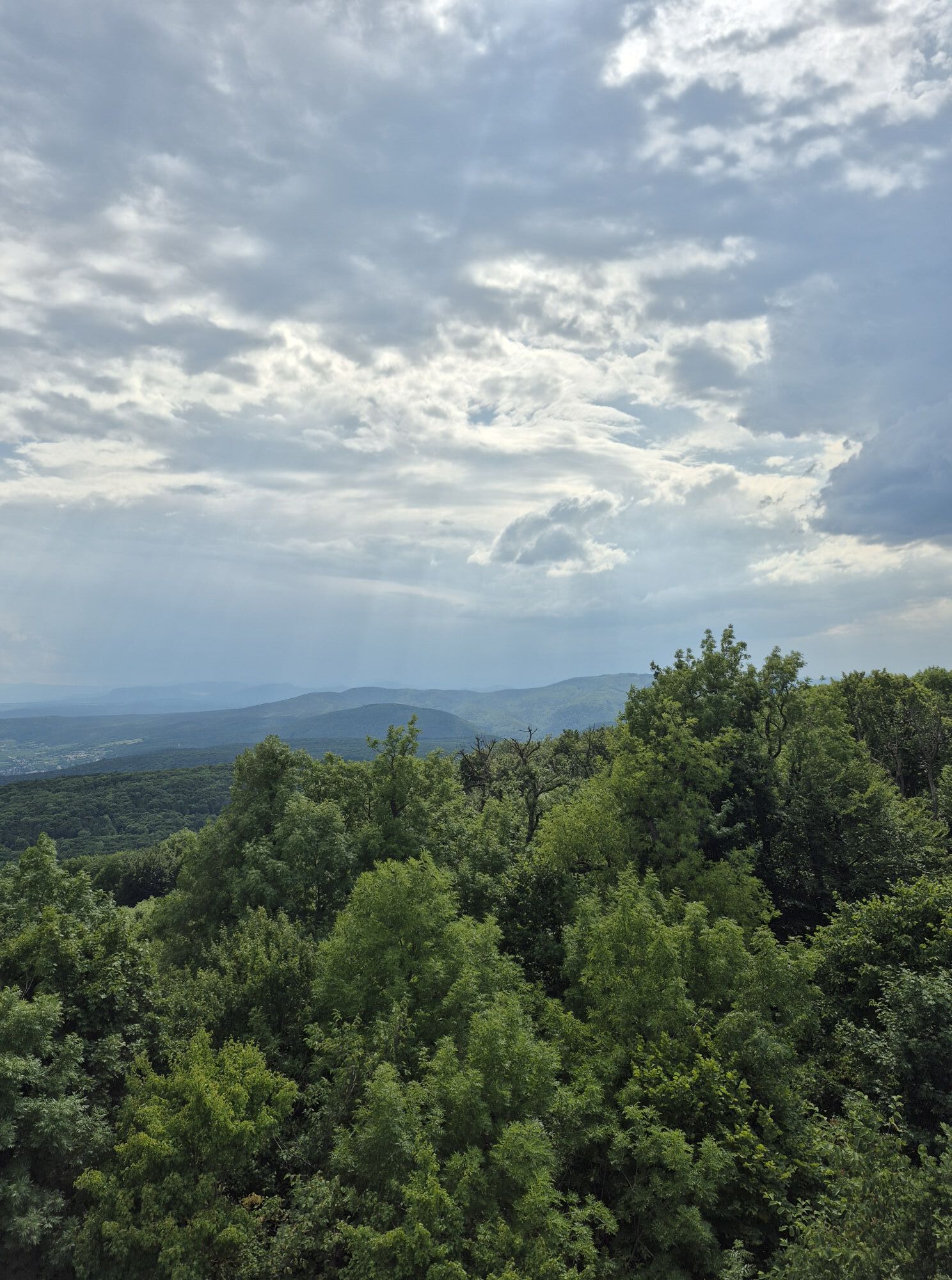
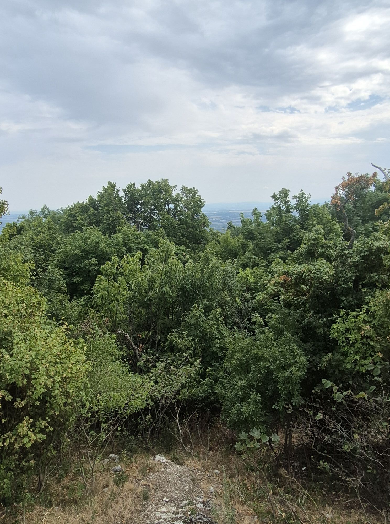
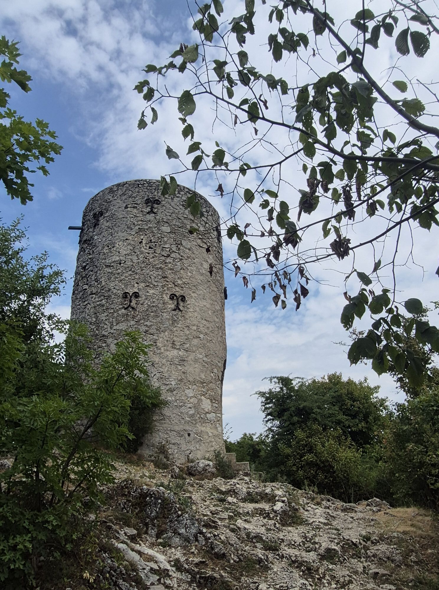
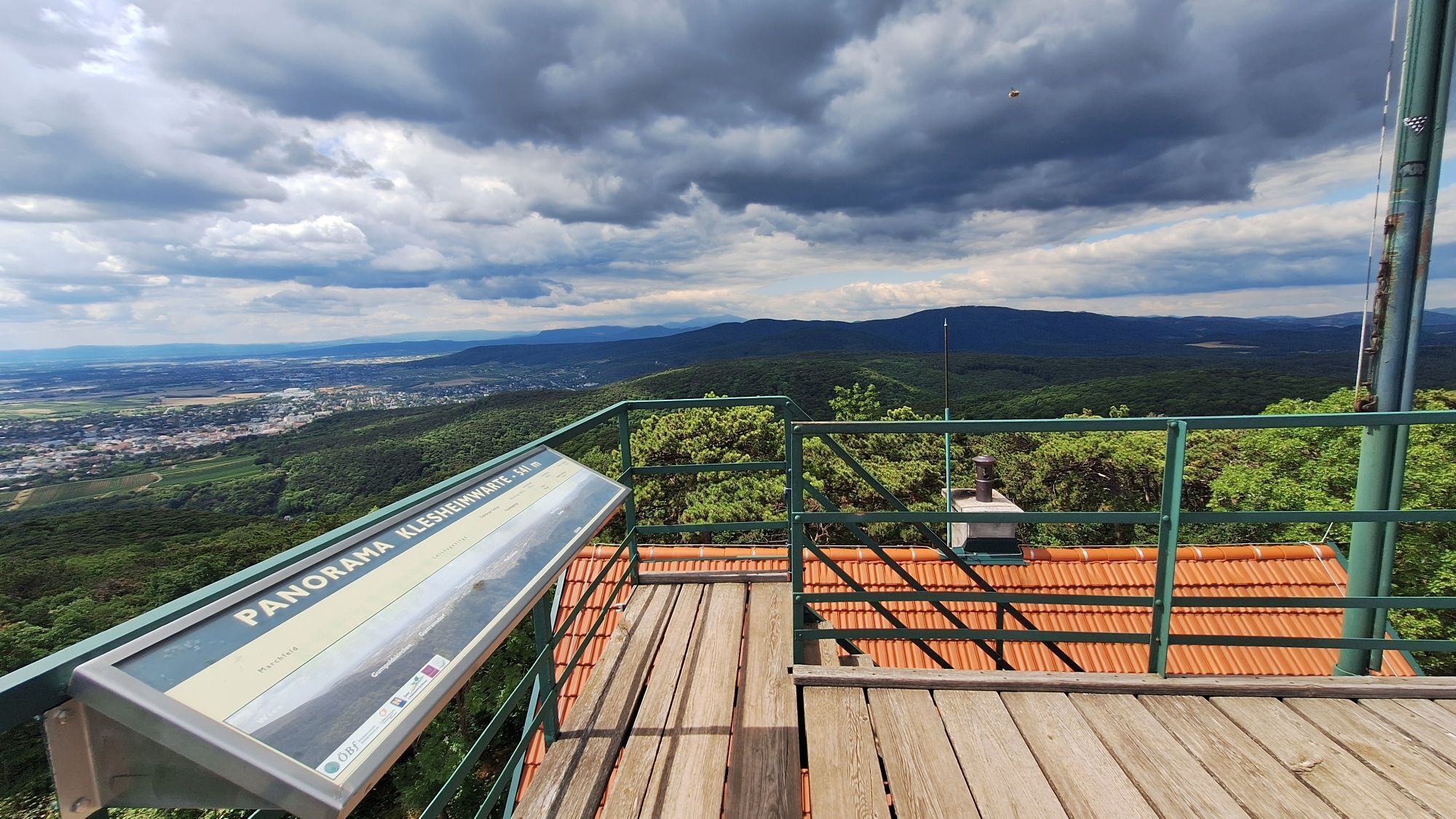
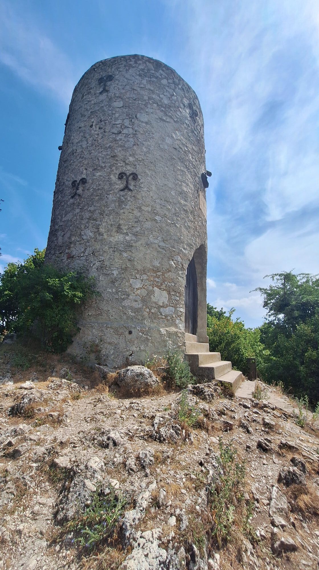

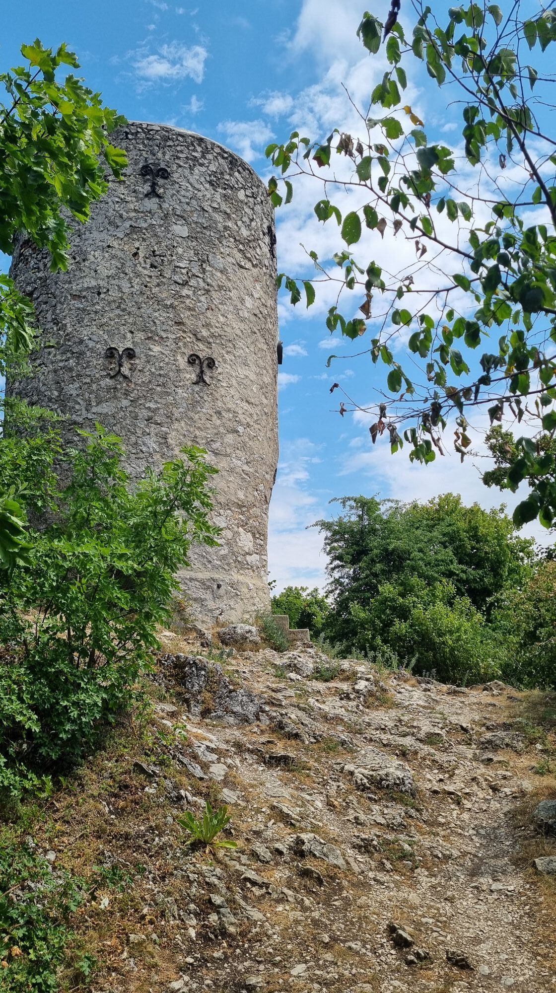
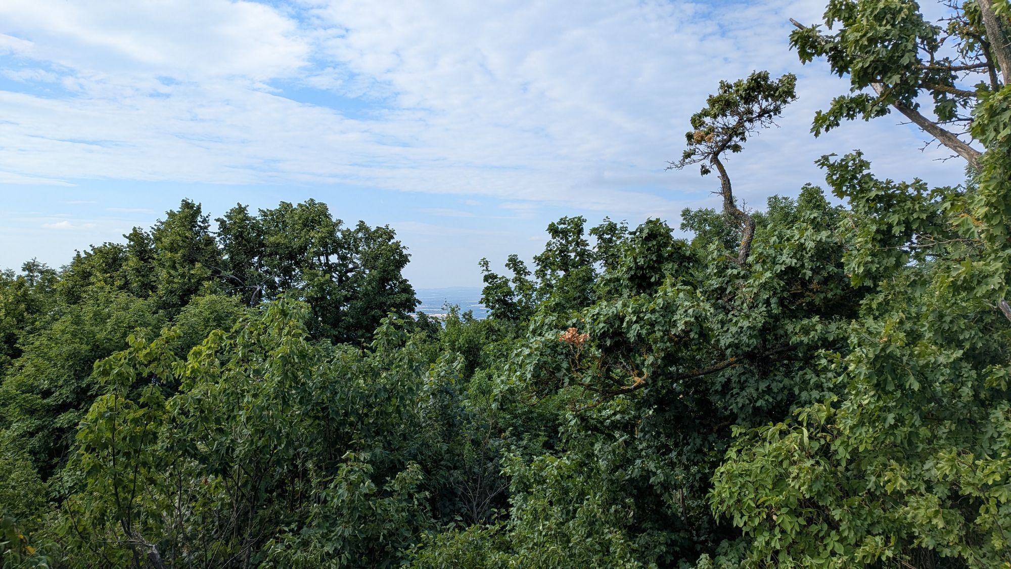
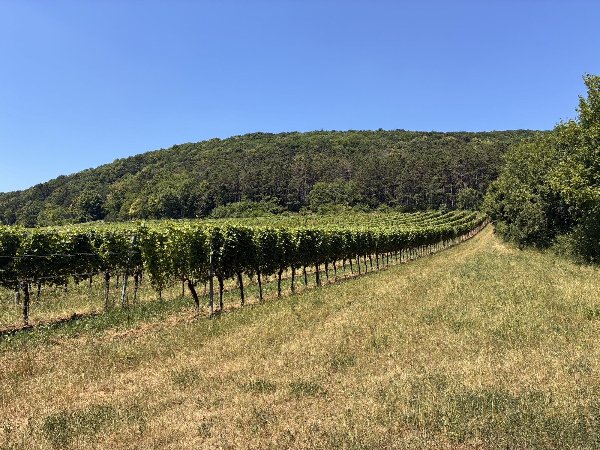
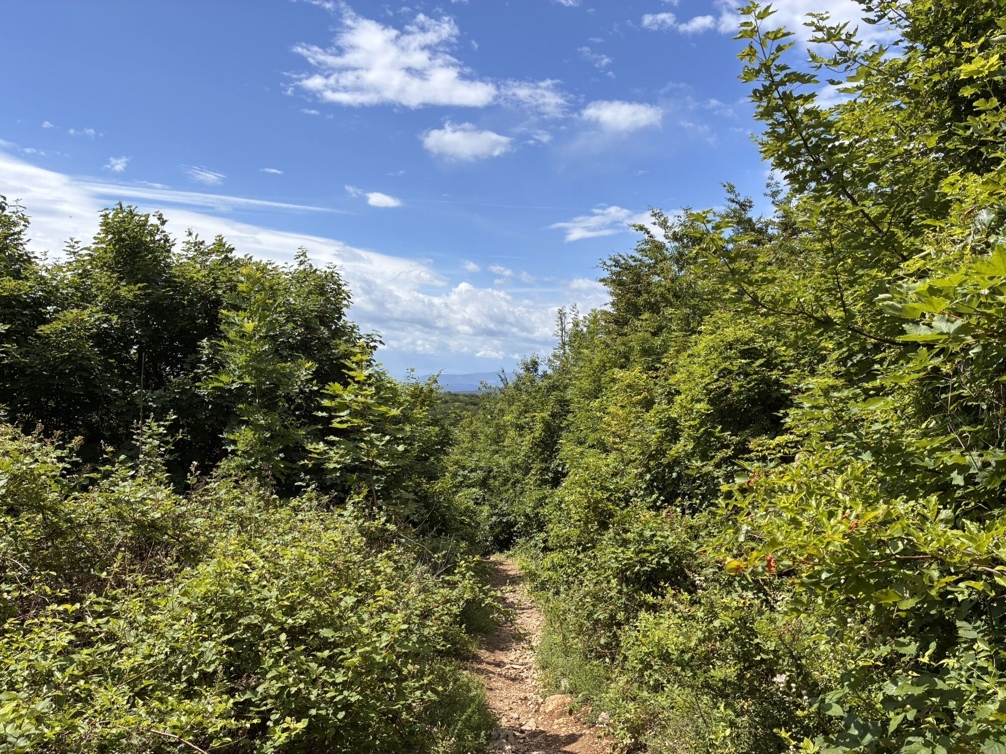
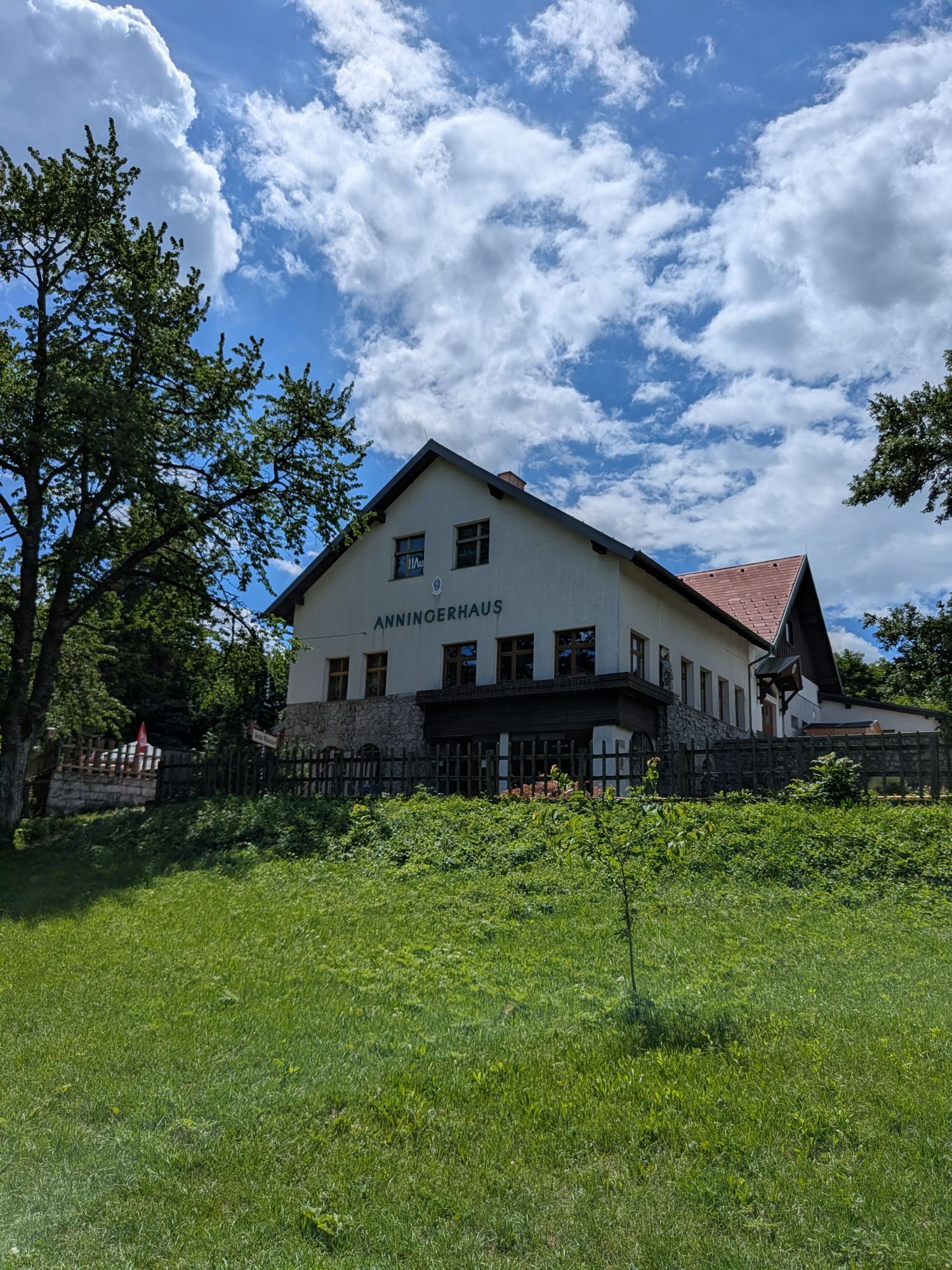
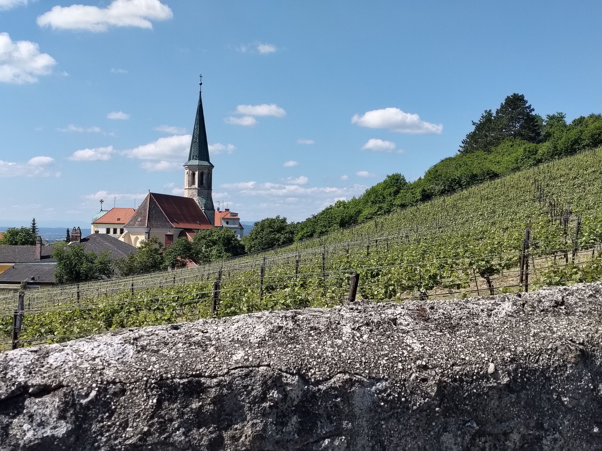
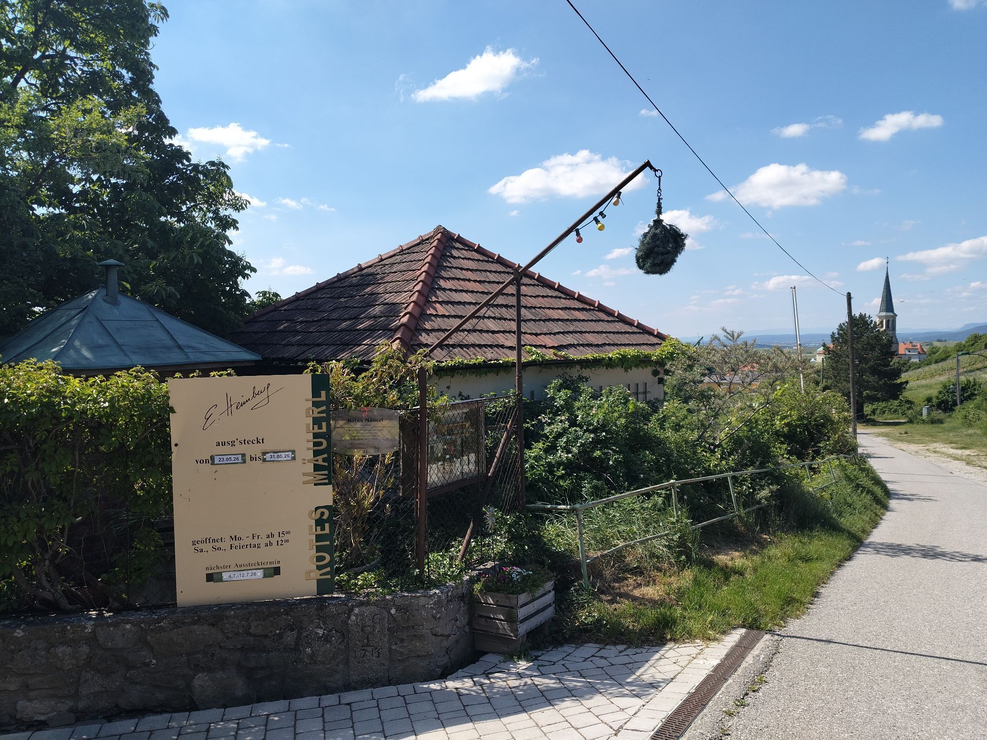
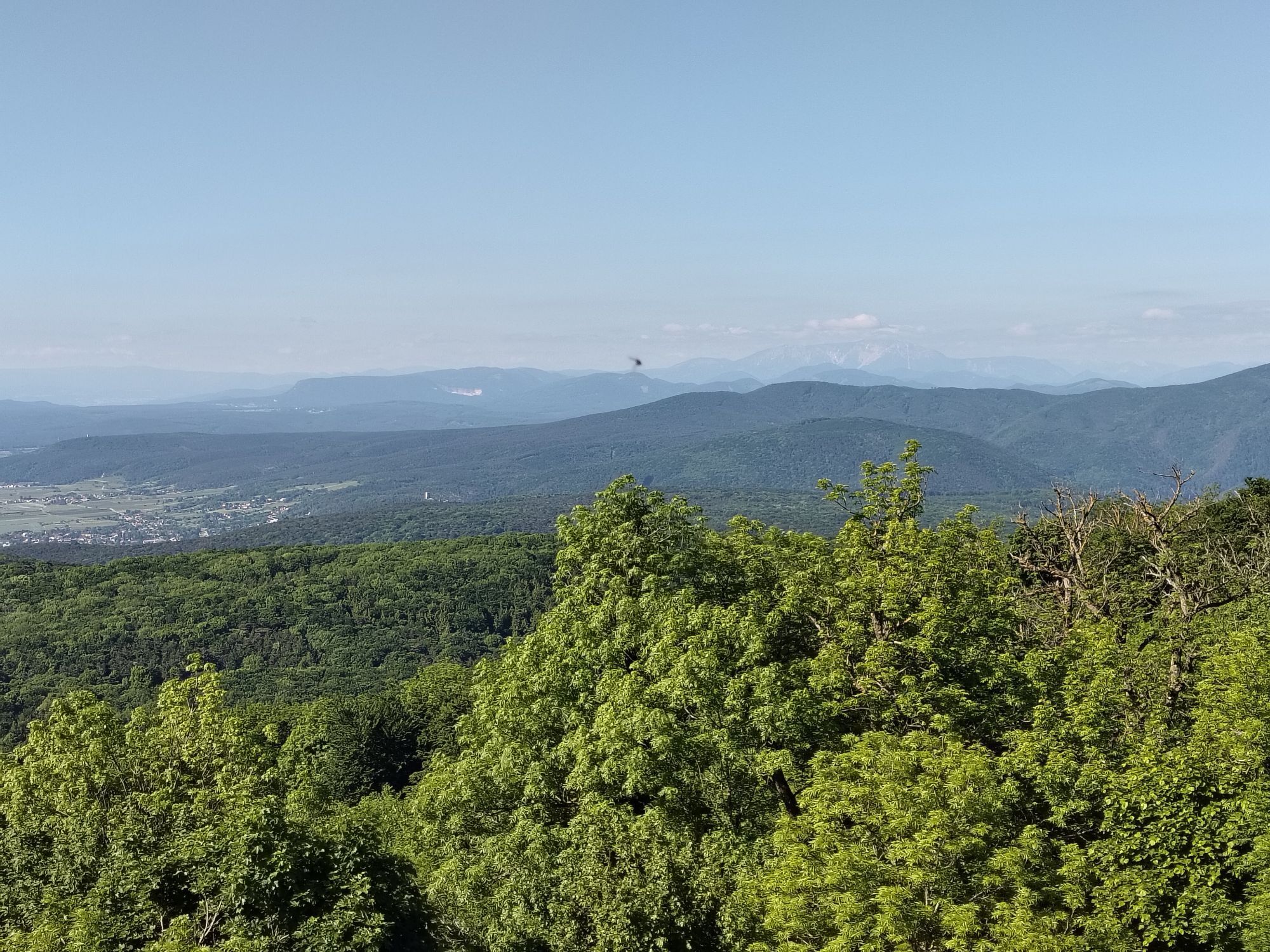
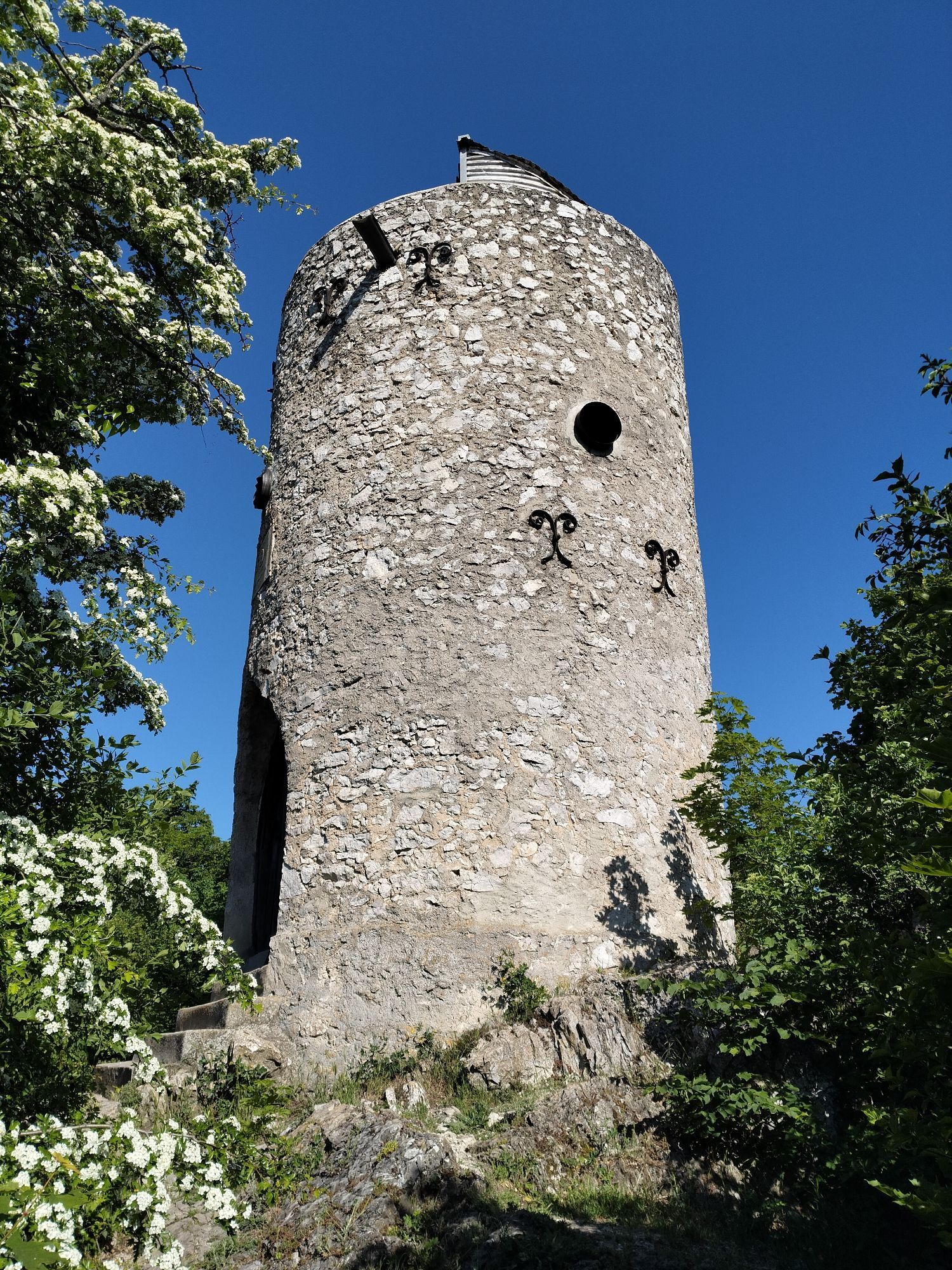
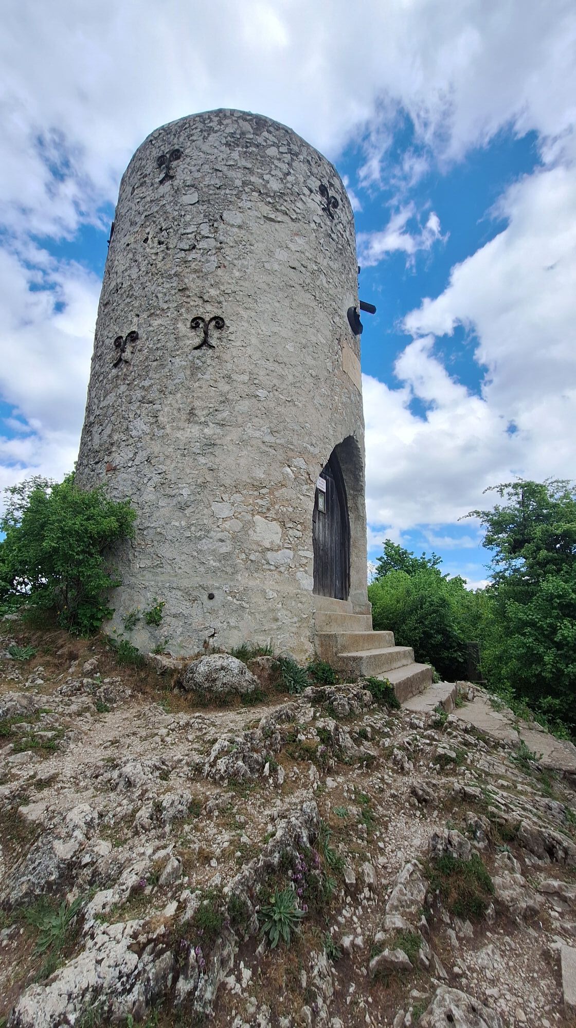
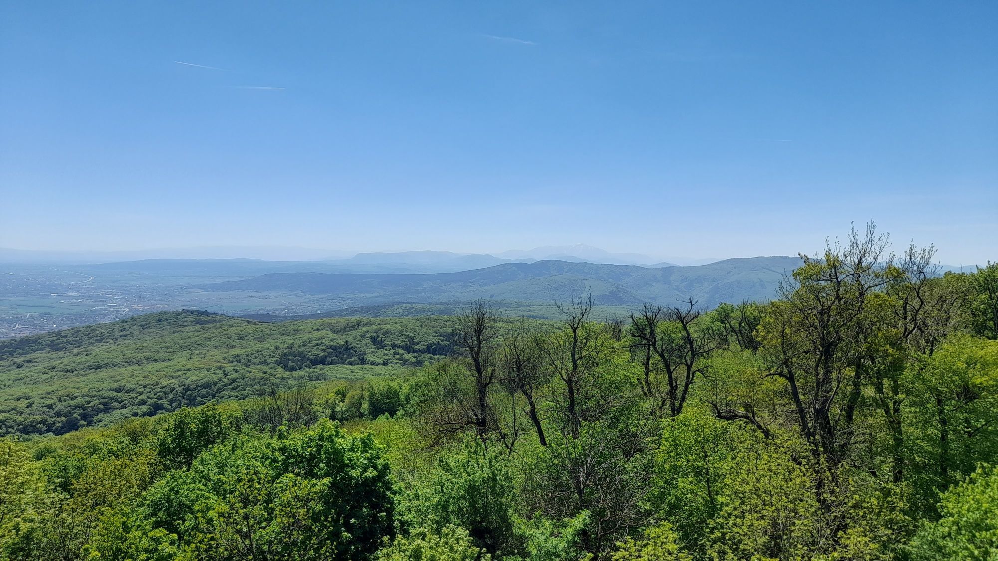
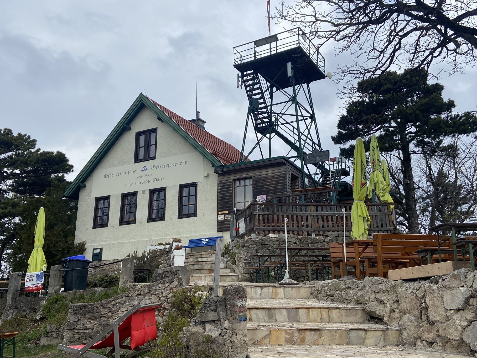
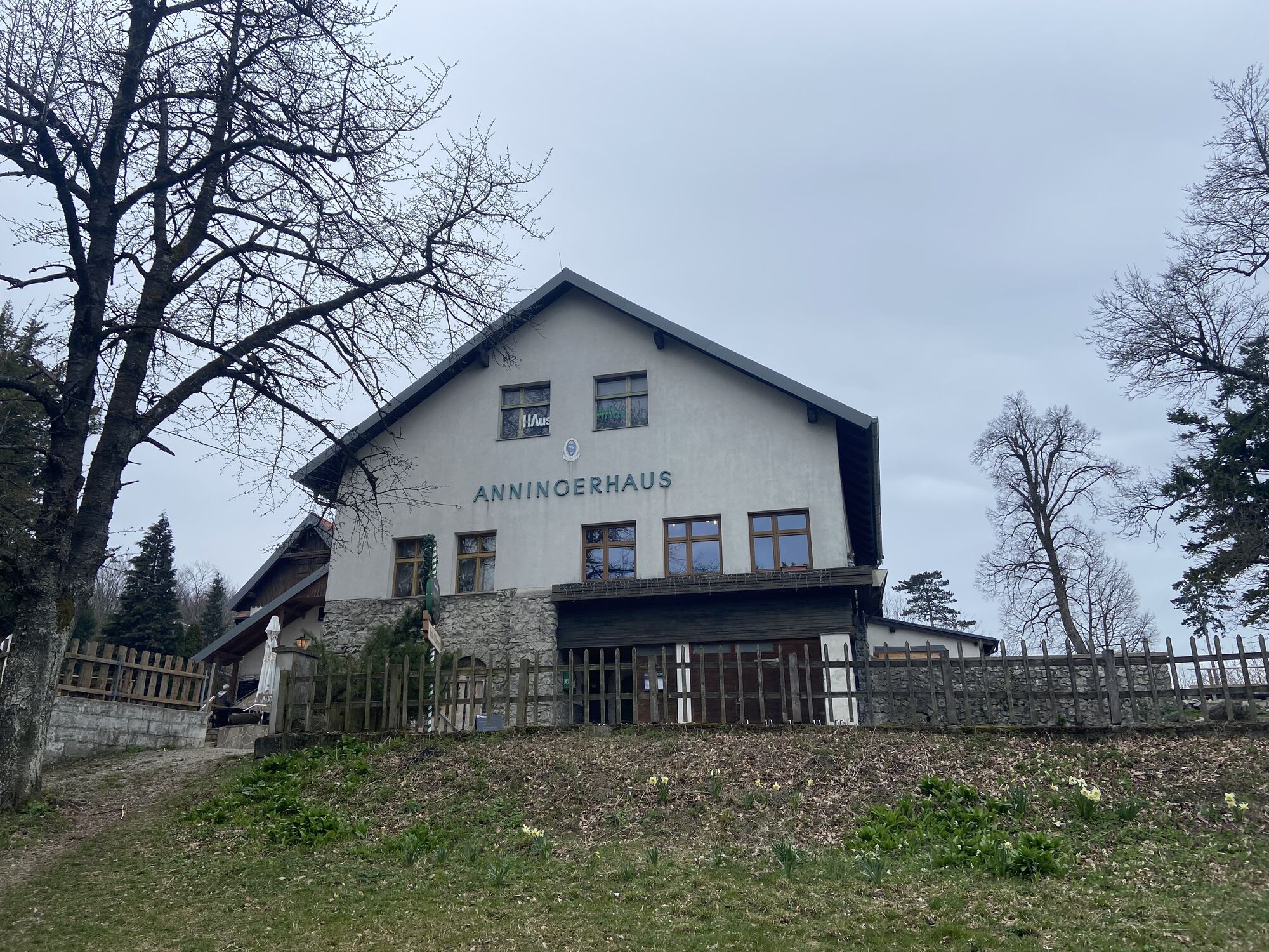
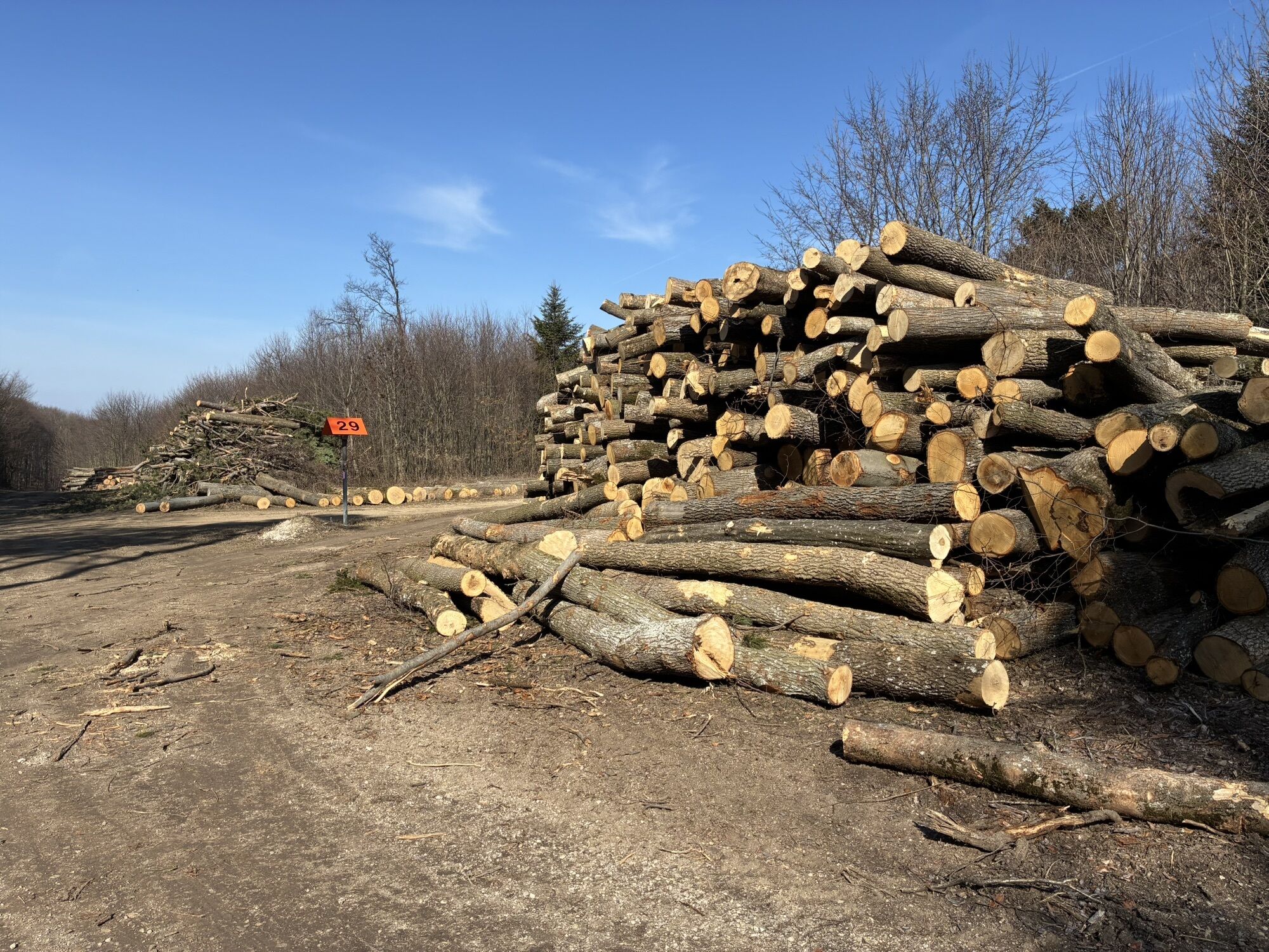
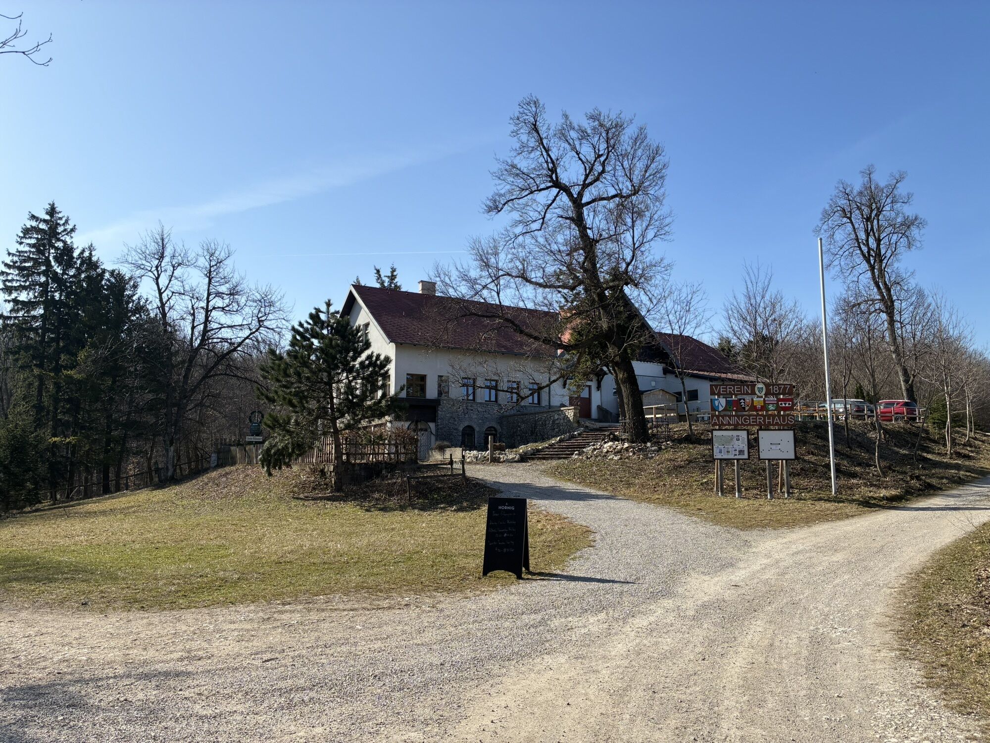
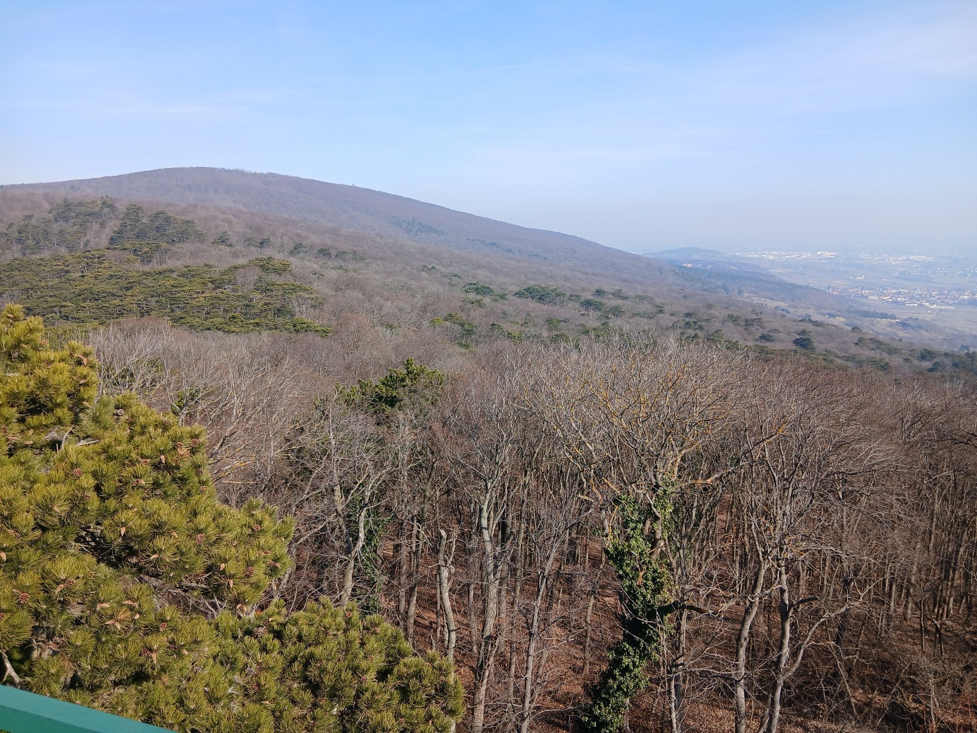
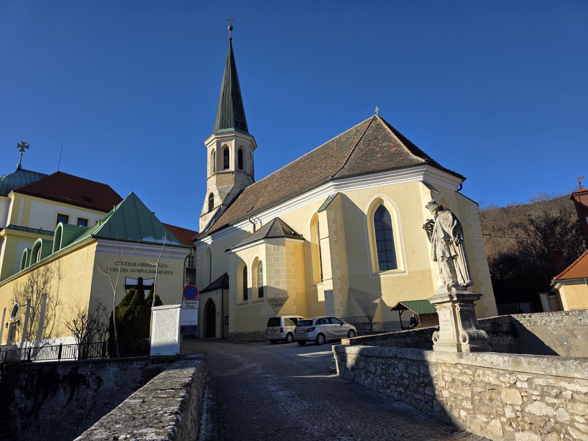
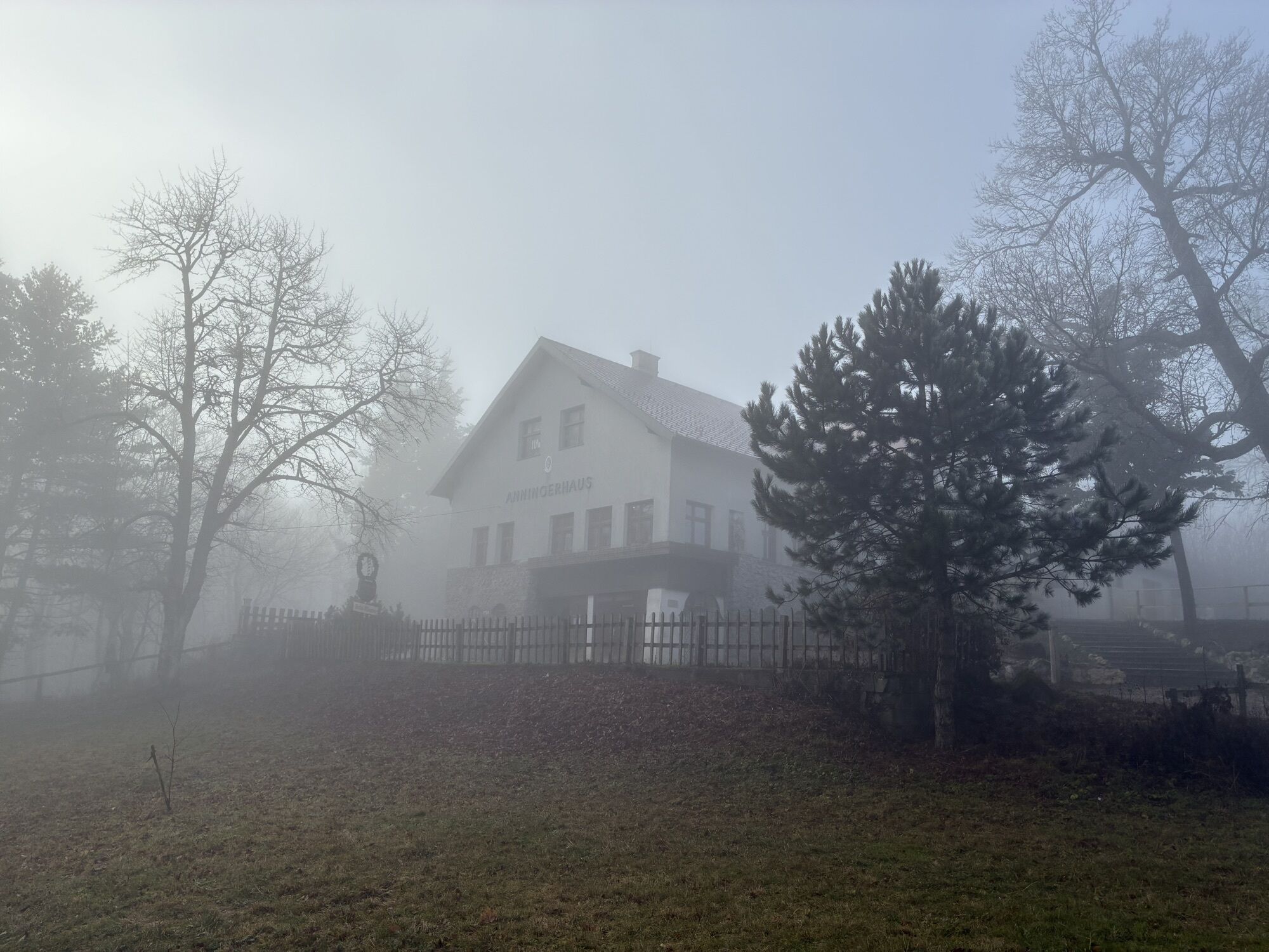
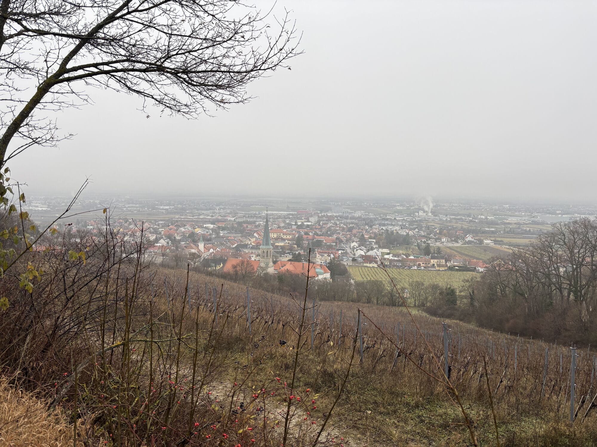
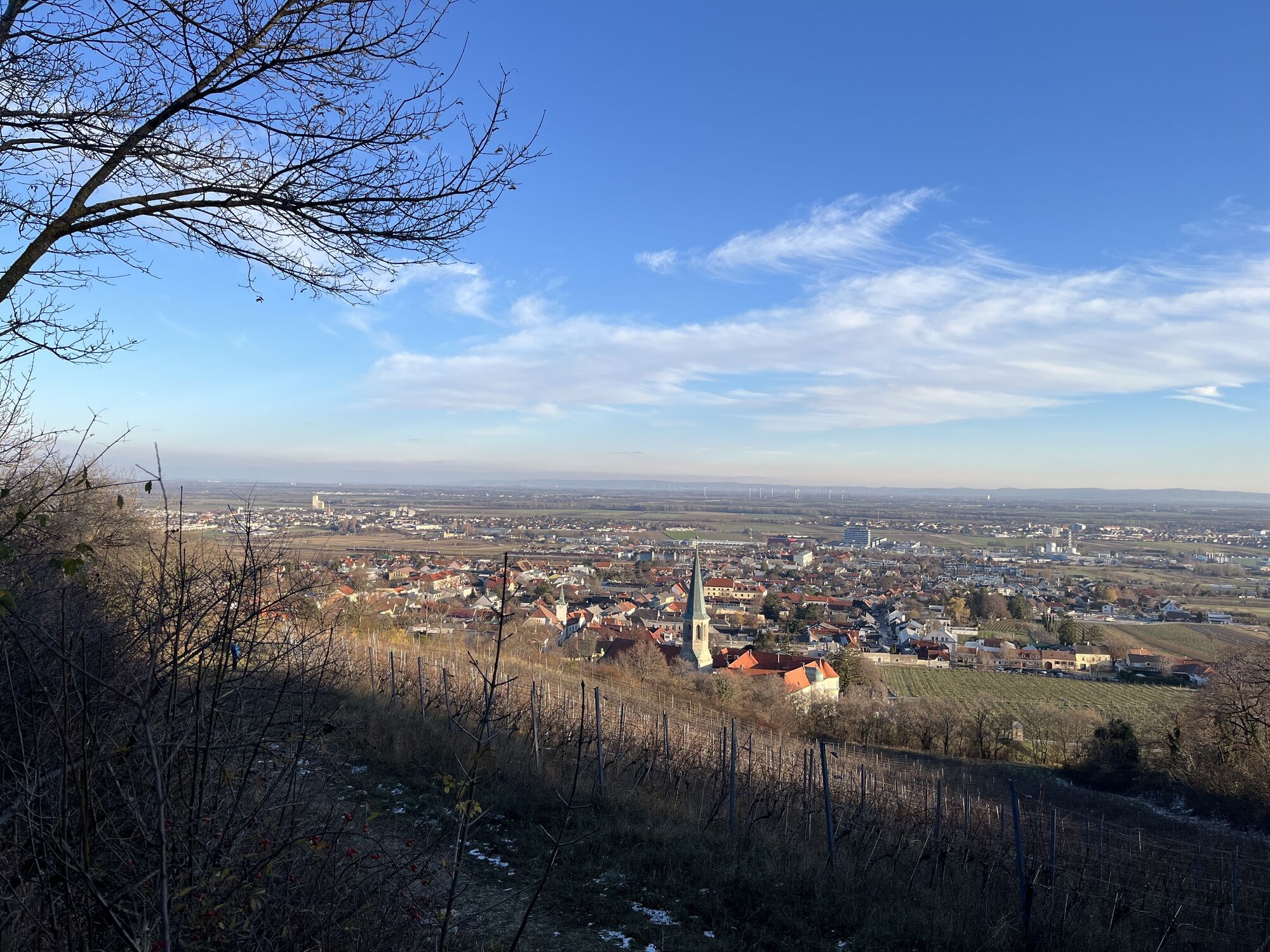
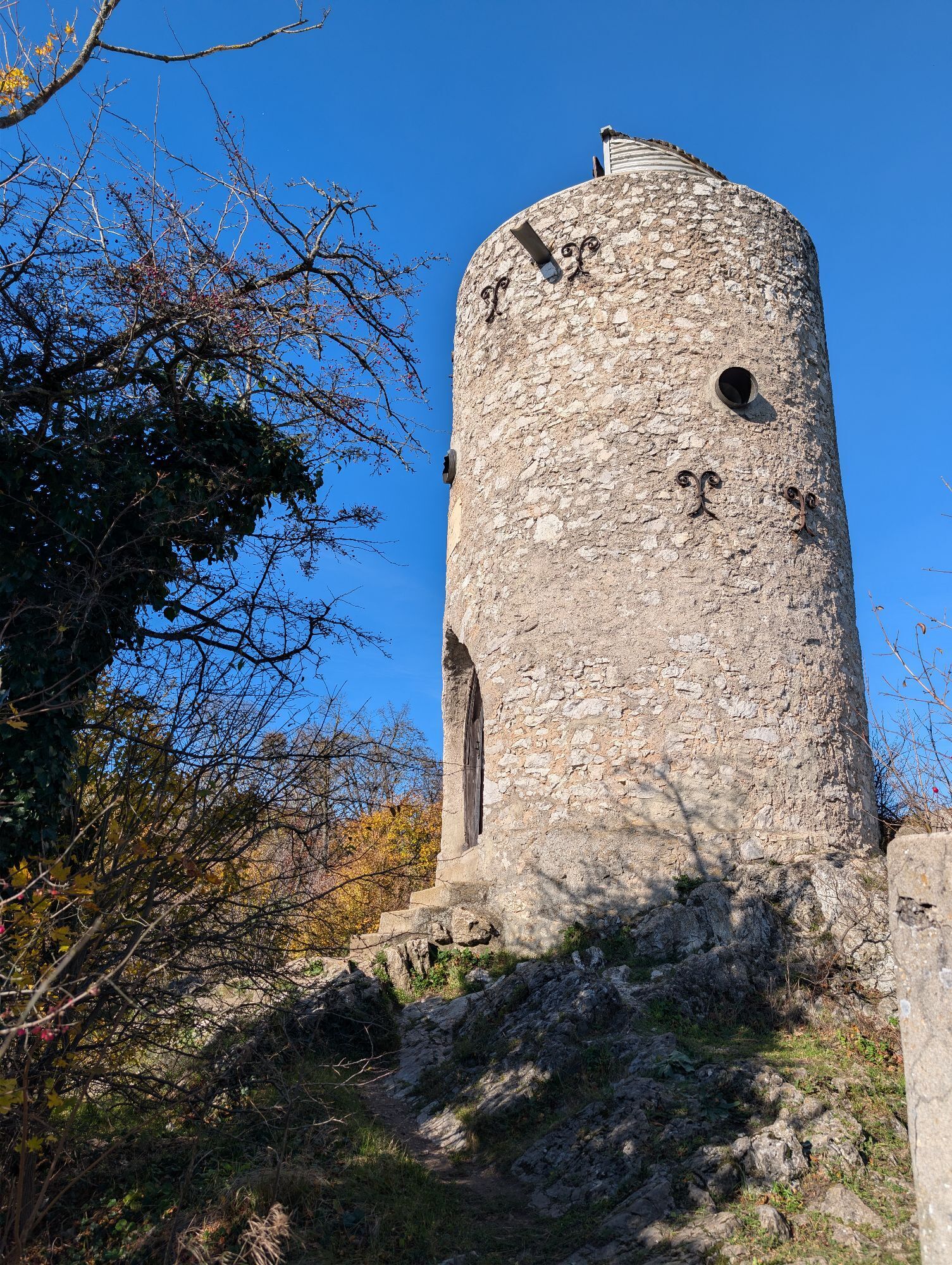

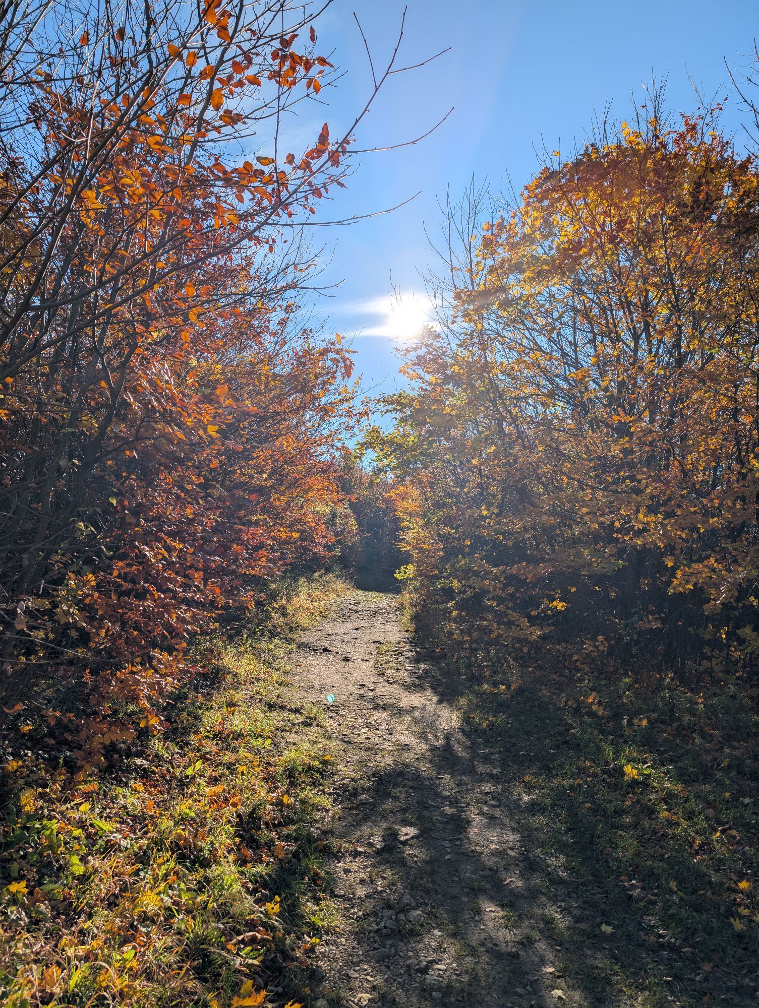
The special highlights of this circular day stage 2 are:
Kaiser Jubiläumswarte on the EschenkogelWilhelmswarteKlesheimwarte<p>The special highlights of this circular day stage 2 are:</p>Kaiser Jubiläumswarte on the EschenkogelWilhelmswarteKlesheimwarte



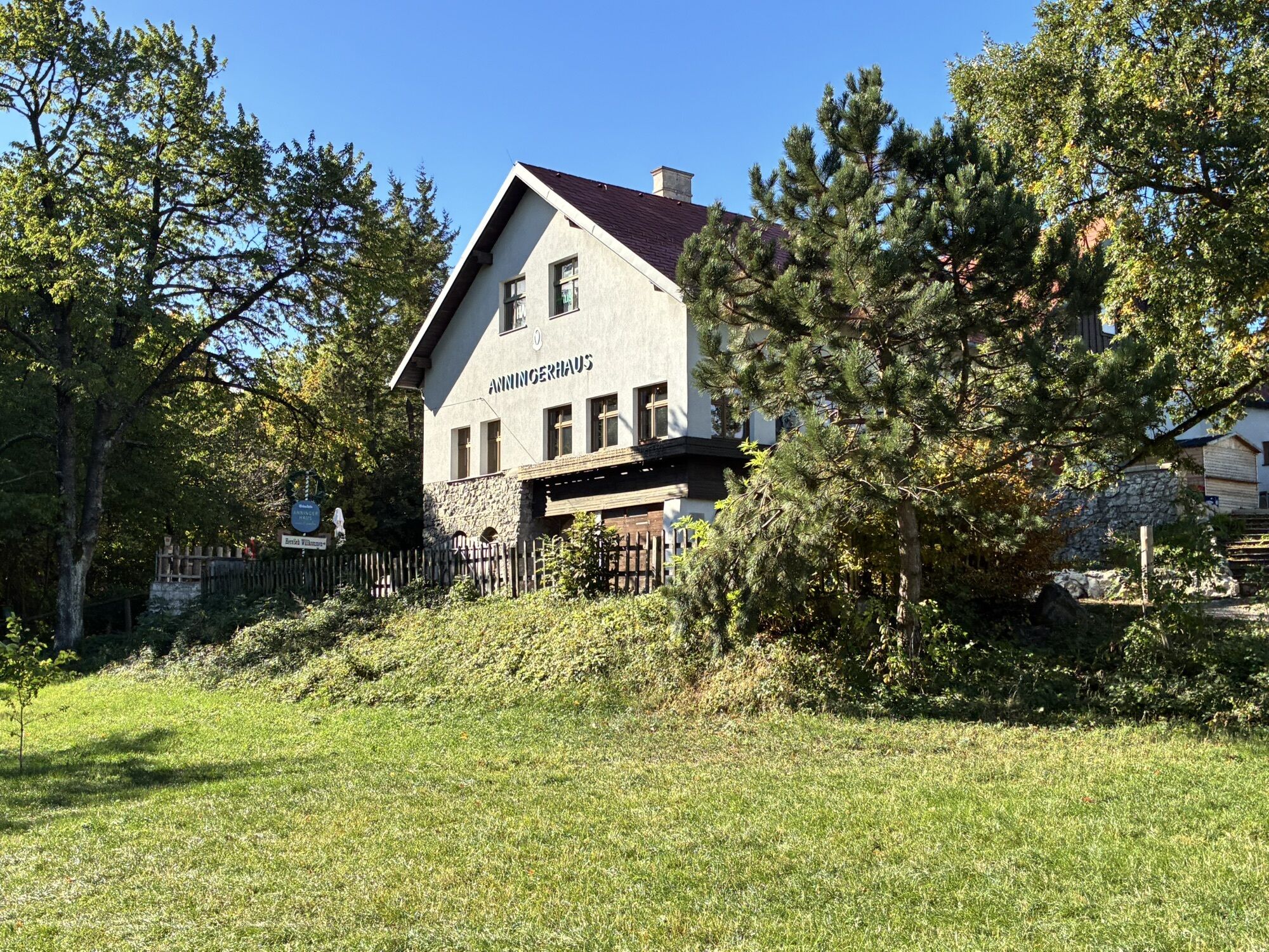
<p>Pfaffstätten Station – Pfaffstättnerkogel/Klesheimwarte (blue) – Anninger – Wilhelmswarte – Anningerhaus – Kaiser-Jubiläumswarte – Kalenderweg (green) – Kalvarienberg – Gumpoldskirchen Station.</p><p>The circular route stage 2 is completed by the train ride between Gumpoldskirchen and Pfaffstätten.<br />On foot, there is the option to complete the stage via the 1st Vienna Water Pipeline Hiking Trail between Gumpoldskirchen and Pfaffstätten/Einöde.</p><p>The entire hike "The Towers of the Vienna Woods" can be found here ...</p>
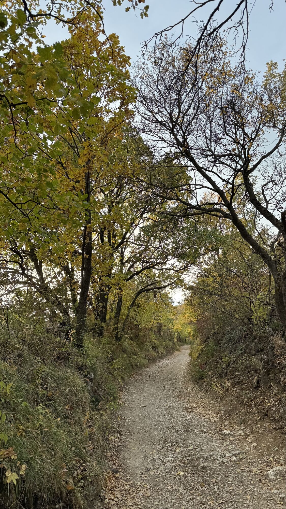
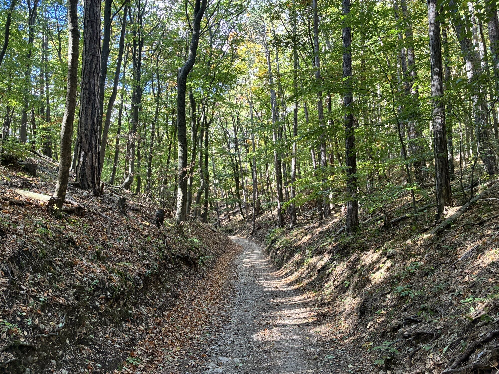
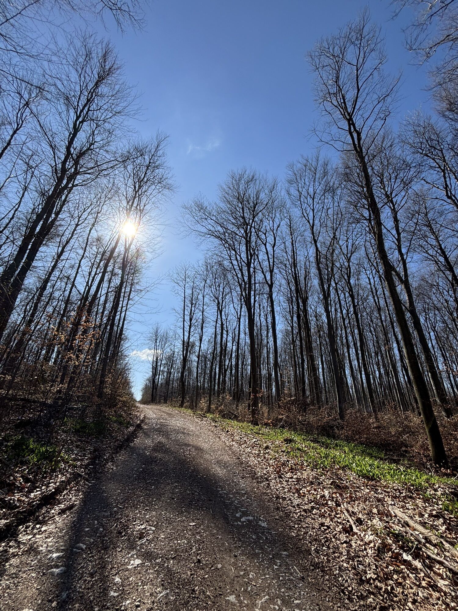
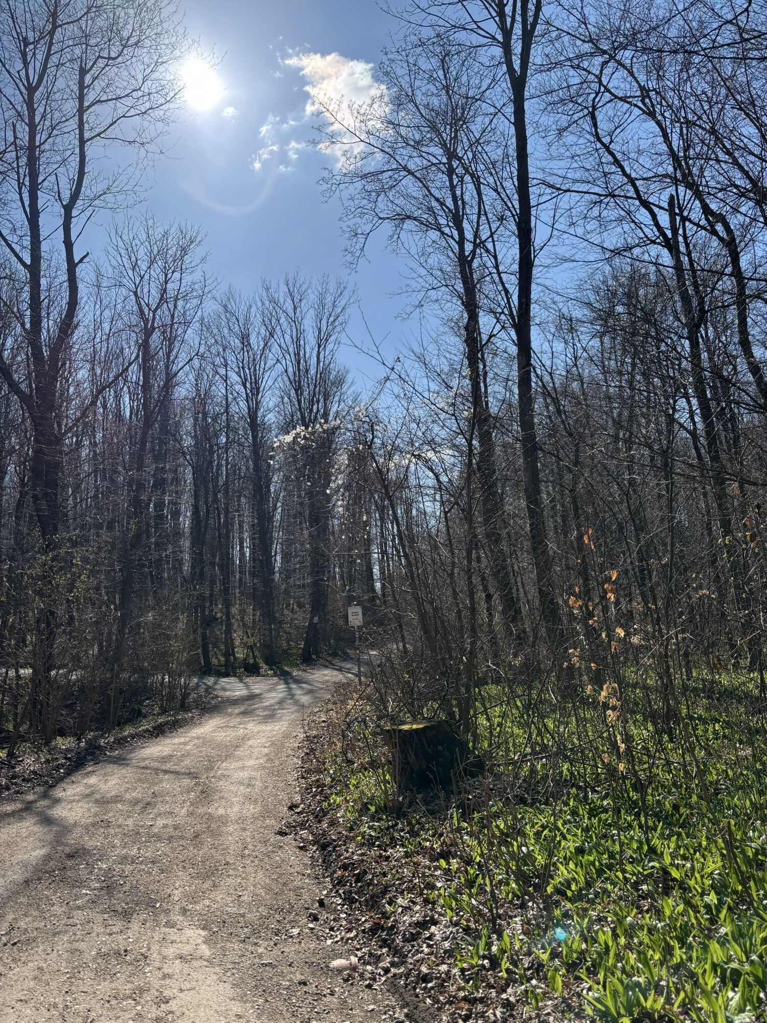
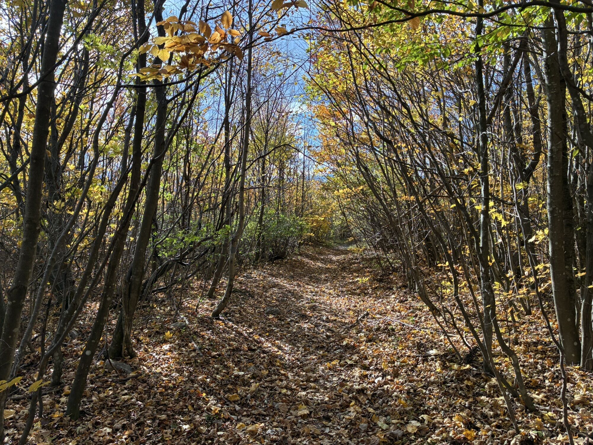
<p>Sturdy footwear is recommended as the paths are partly rich in roots.</p>
<p>Via A2/ exit to Gumpoldskirchen and Pfaffstätten/Einöde</p>
<p>By <a href="anachb.vor.at/">Südbahn/ ÖBB</a>.<br />Optimally recommended starting from Pfaffstätten Station and via Gumpoldskirchen Station.</p>
<p>Parking lot Josef-Schöffel-Straße in Gumpoldskirchen<br />Parking area in Pfaffstätten/Einöde</p>
All dining and accommodation tips can be found here..
All further and comprehensive information about the themed hike can be found on the website www.wienerwald.info here ...


Oblíbené prohlídky v okolí
-
4.5
Erlebnisweg Peilstein...auf den Spuren der Kletterer
středníTematická stezka 6 km -
4.8
Kalenderberg und Burg Liechtenstein
světloTuristika 8.48 km -
4.7
Naturpark Sparbach
světloTuristika 7.08 km -
4.7
Angelos Touren: vom Helenental auf den Hohen Lindkogel
středníTuristika 11.4 km -
4.6
Abend/Nachtwanderung Teufelstein
světloTuristika 7.15 km -
4.6
Landschaftspark Liechtenstein - Angelos Touren
světloTuristika 6.70 km -
4.6
AUGUSTINERHÜTTE Parkplatz bei B210 Hoher Lindkogel, Langes Tal 20221030
středníTuristika 8.02 km -
4.6
Wienerwald: Maria Raisenmarkt - Peilstein
světloZimní turistika 6.82 km -
4.6
Stadtwanderweg 6 / Zugberg - Maurer Wald (lt. Beschilderung)
světloTuristika 13.3 km -
4.6
Gumpoldskirchen Anninger Pfaffstättner Kogel retour 20190419
světloTuristika 13.8 km
Pěší turistika a stopování


Nenechte si ujít nabídky a inspiraci pro vaši příští dovolenou
Vaše e-mailová adresa byl přidán do poštovního seznamu.


