







Introductory route Dürnstein

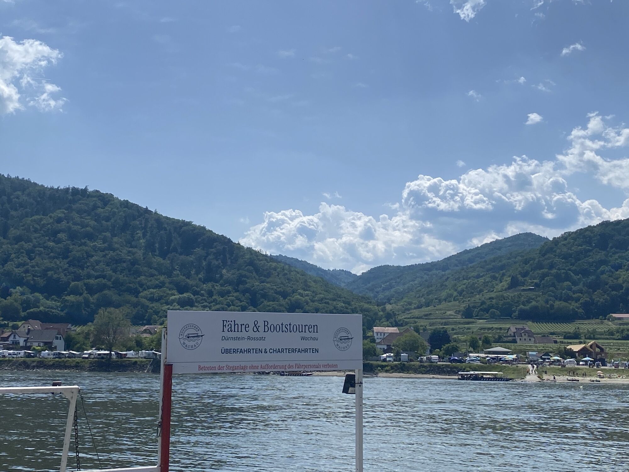
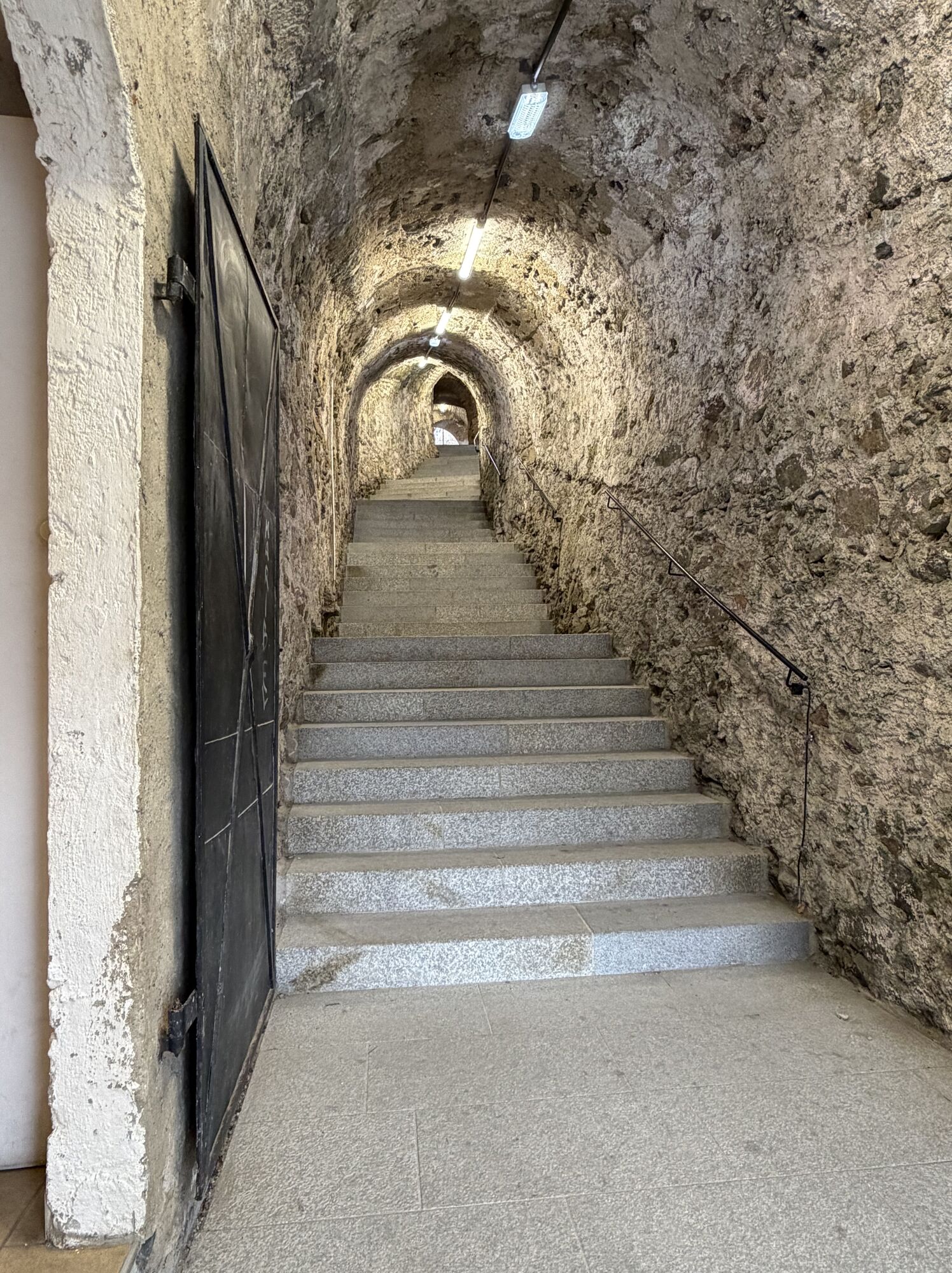
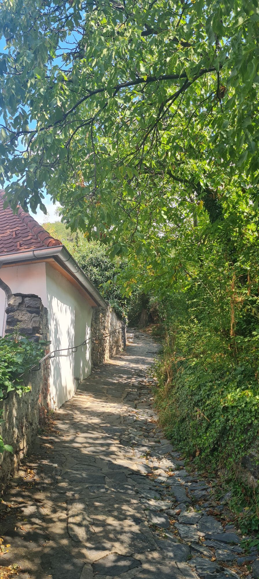
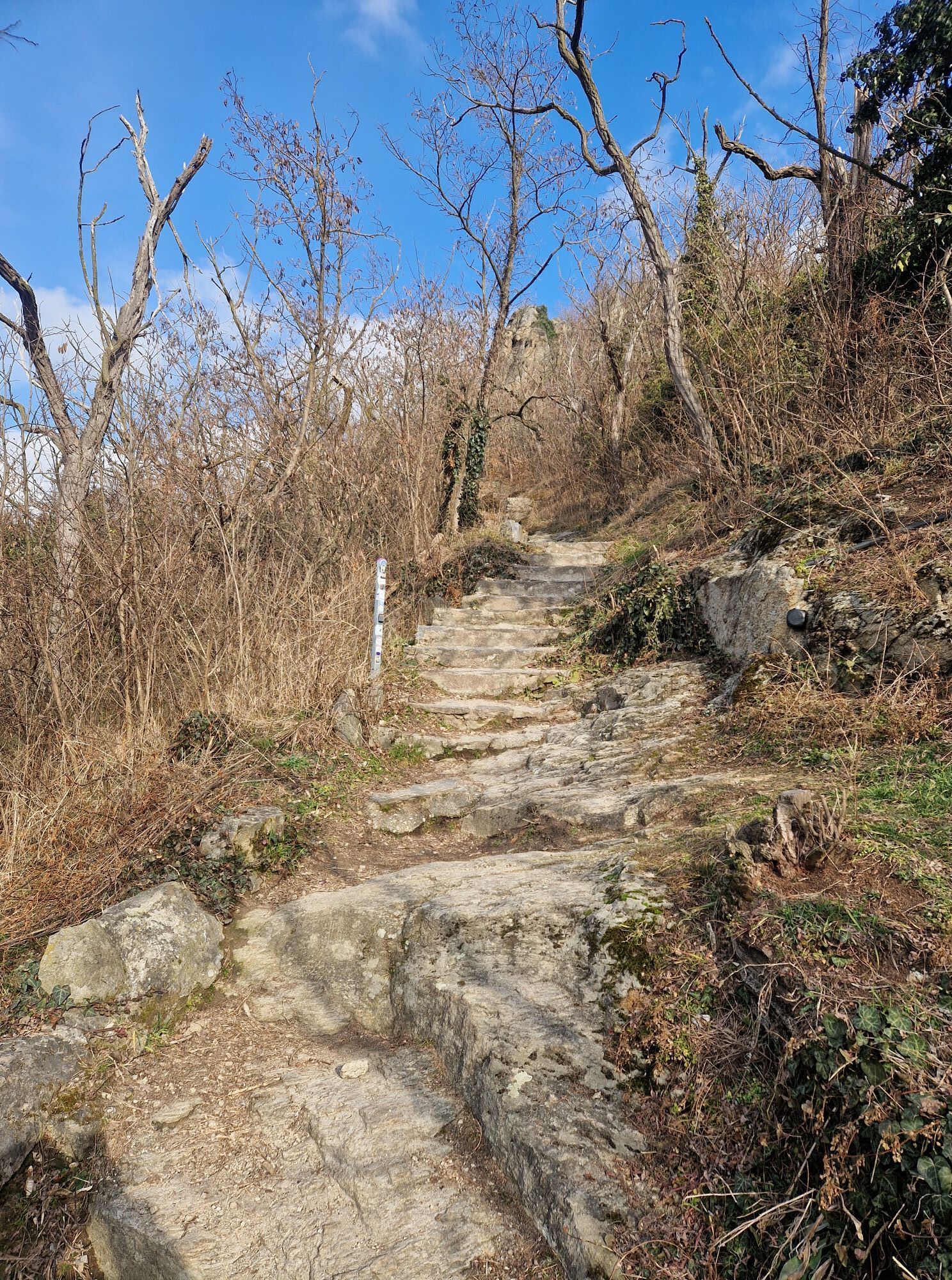
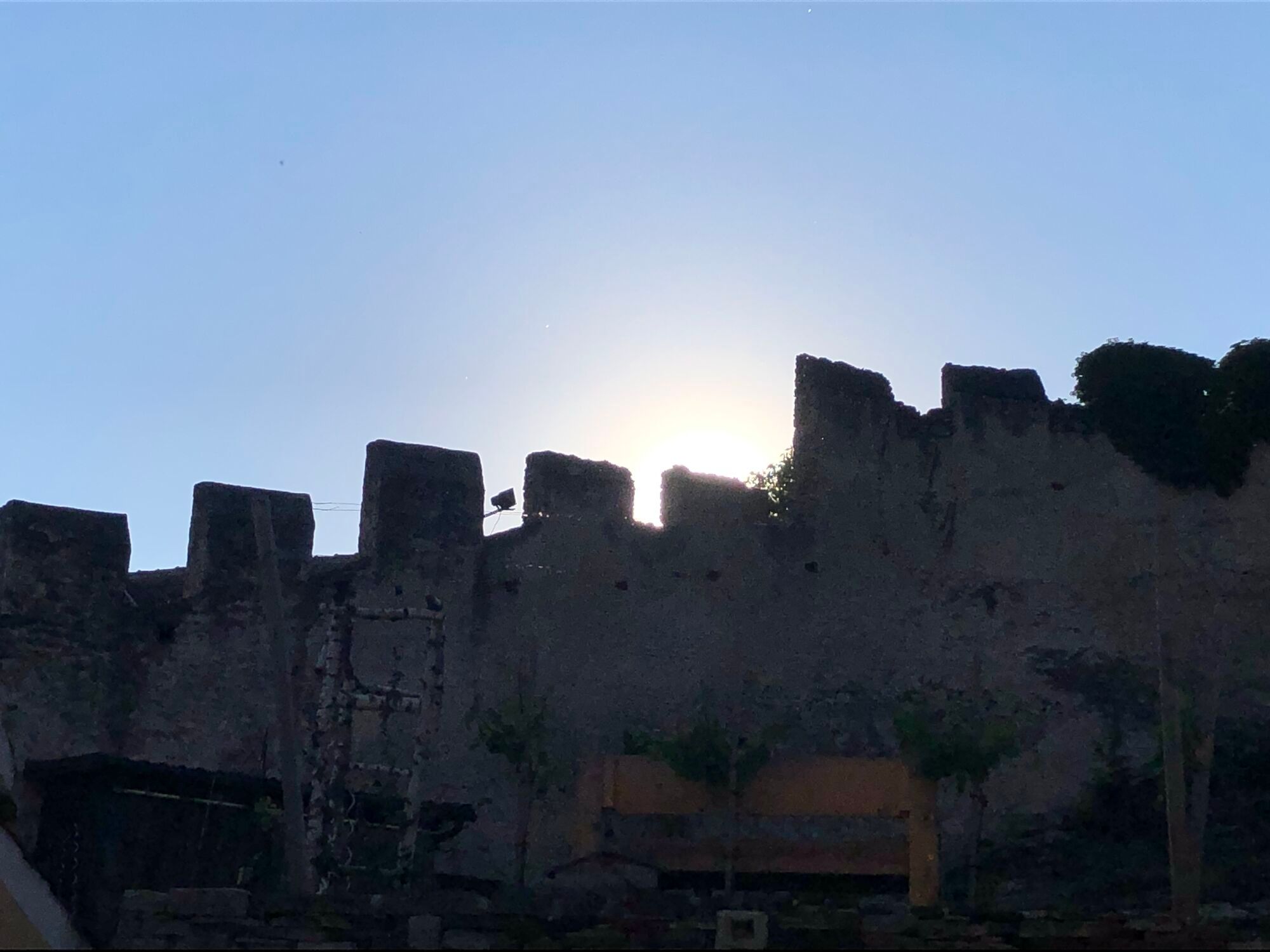
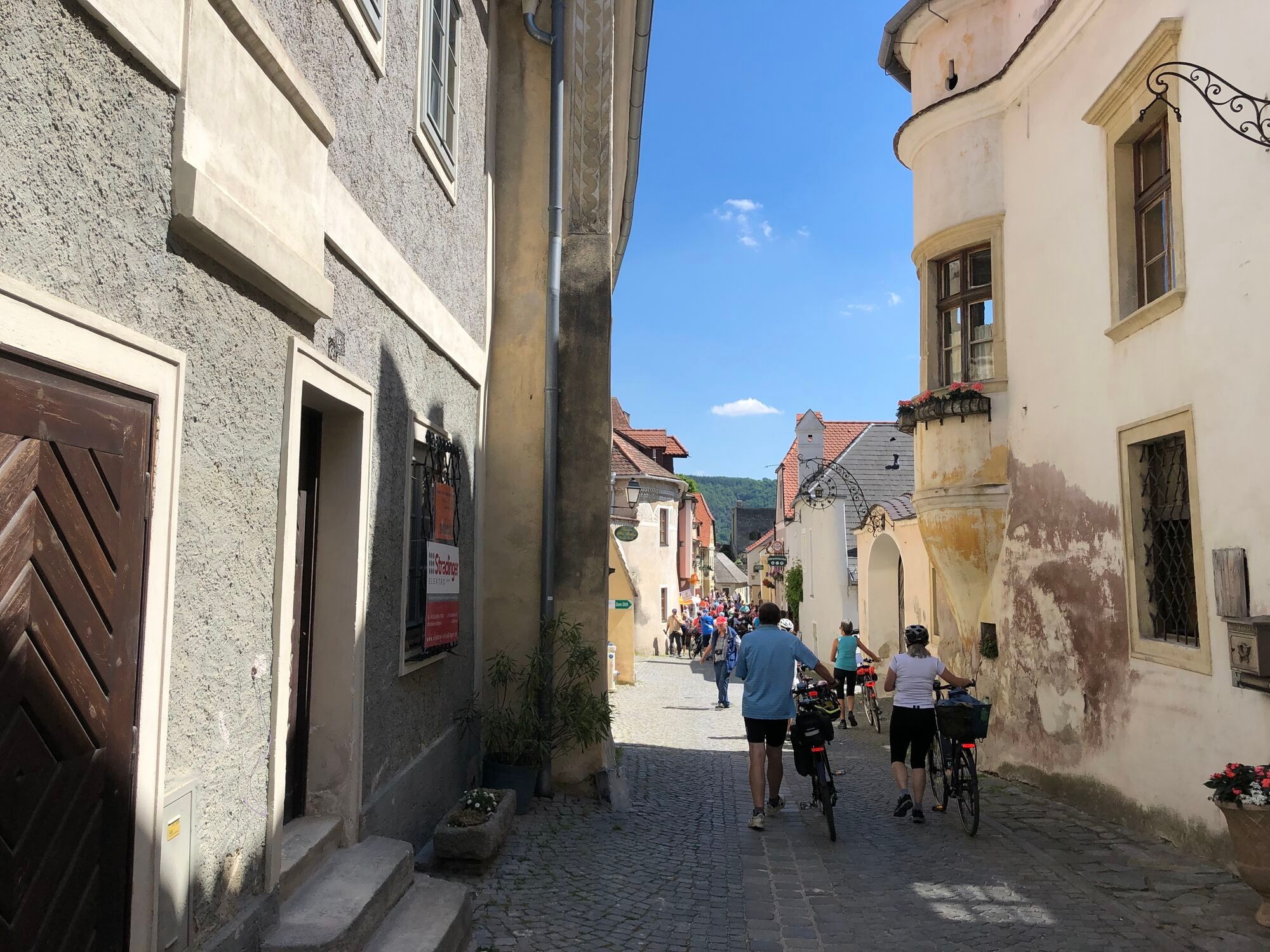
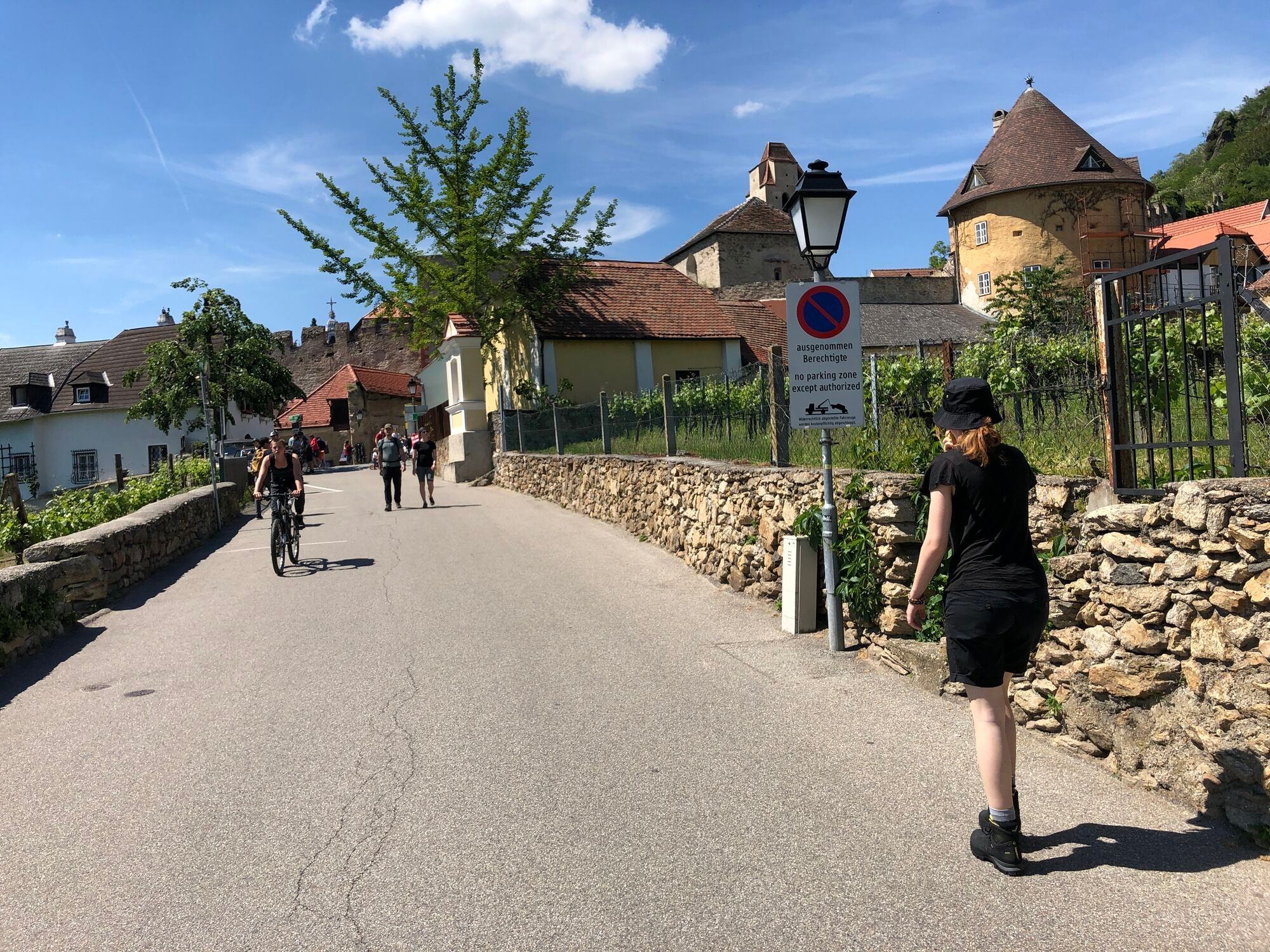
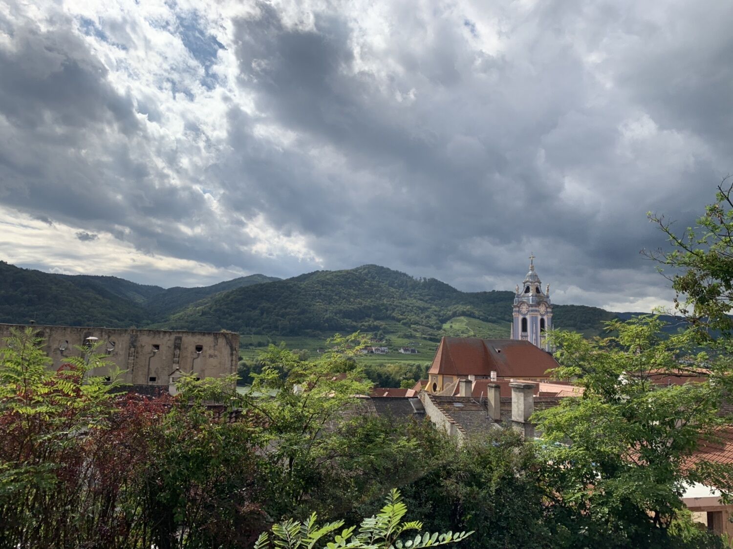
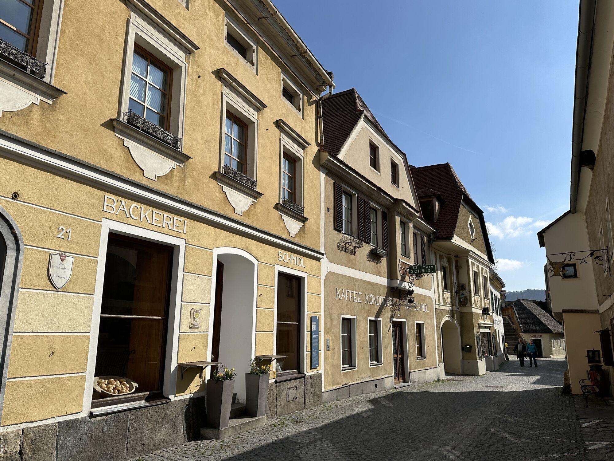
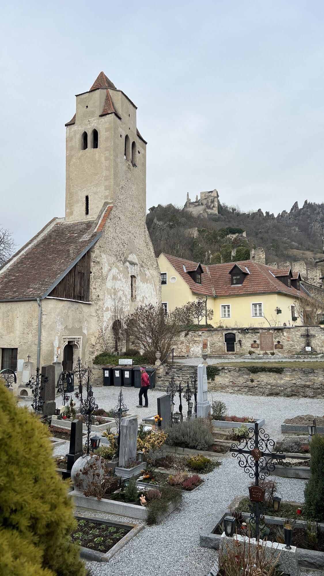
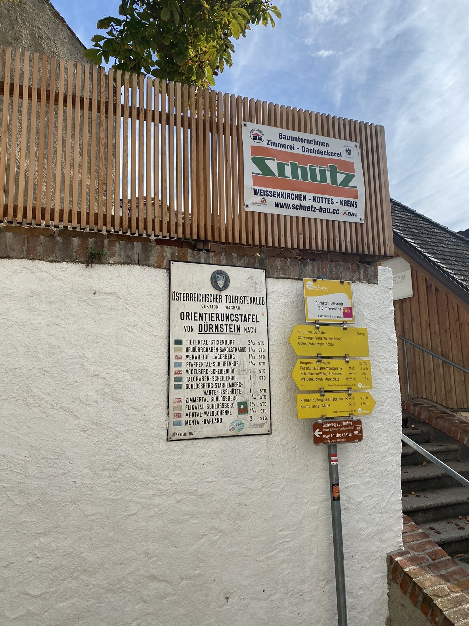
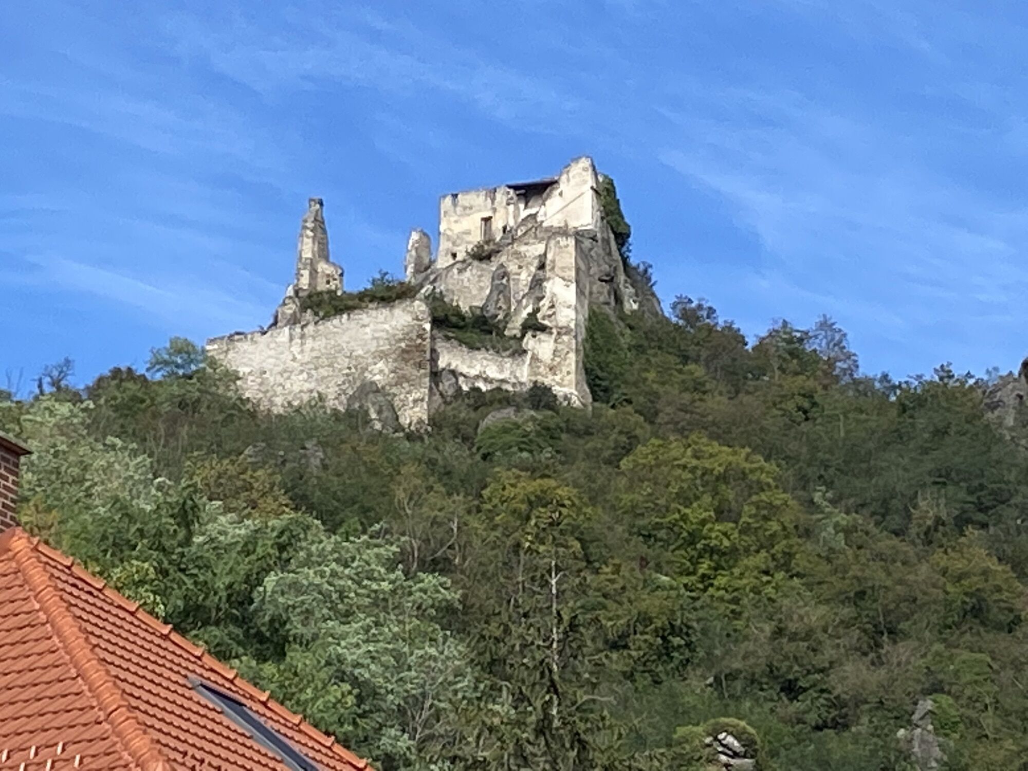
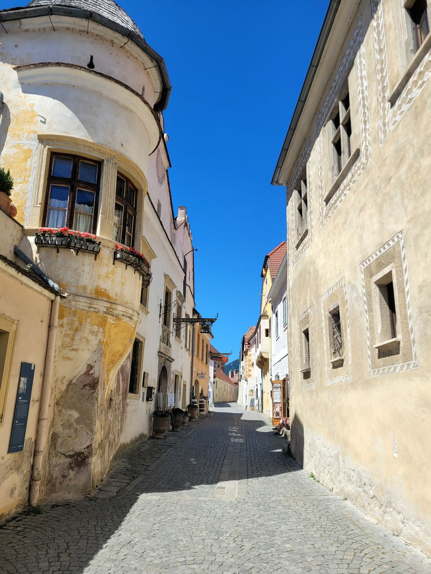
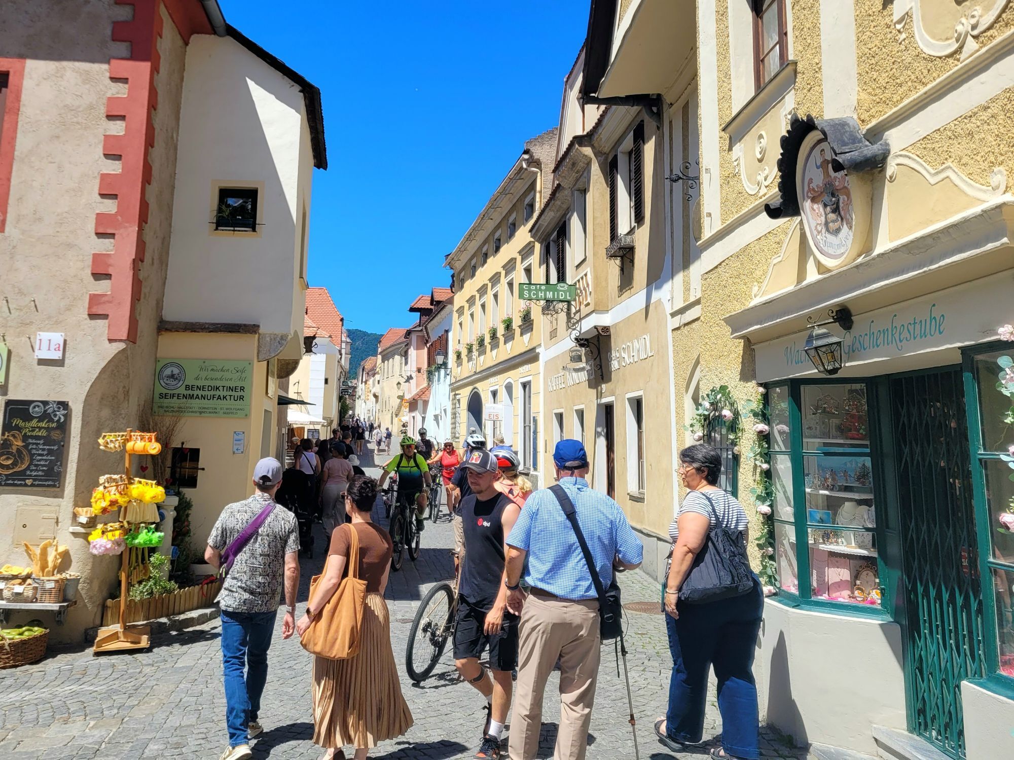
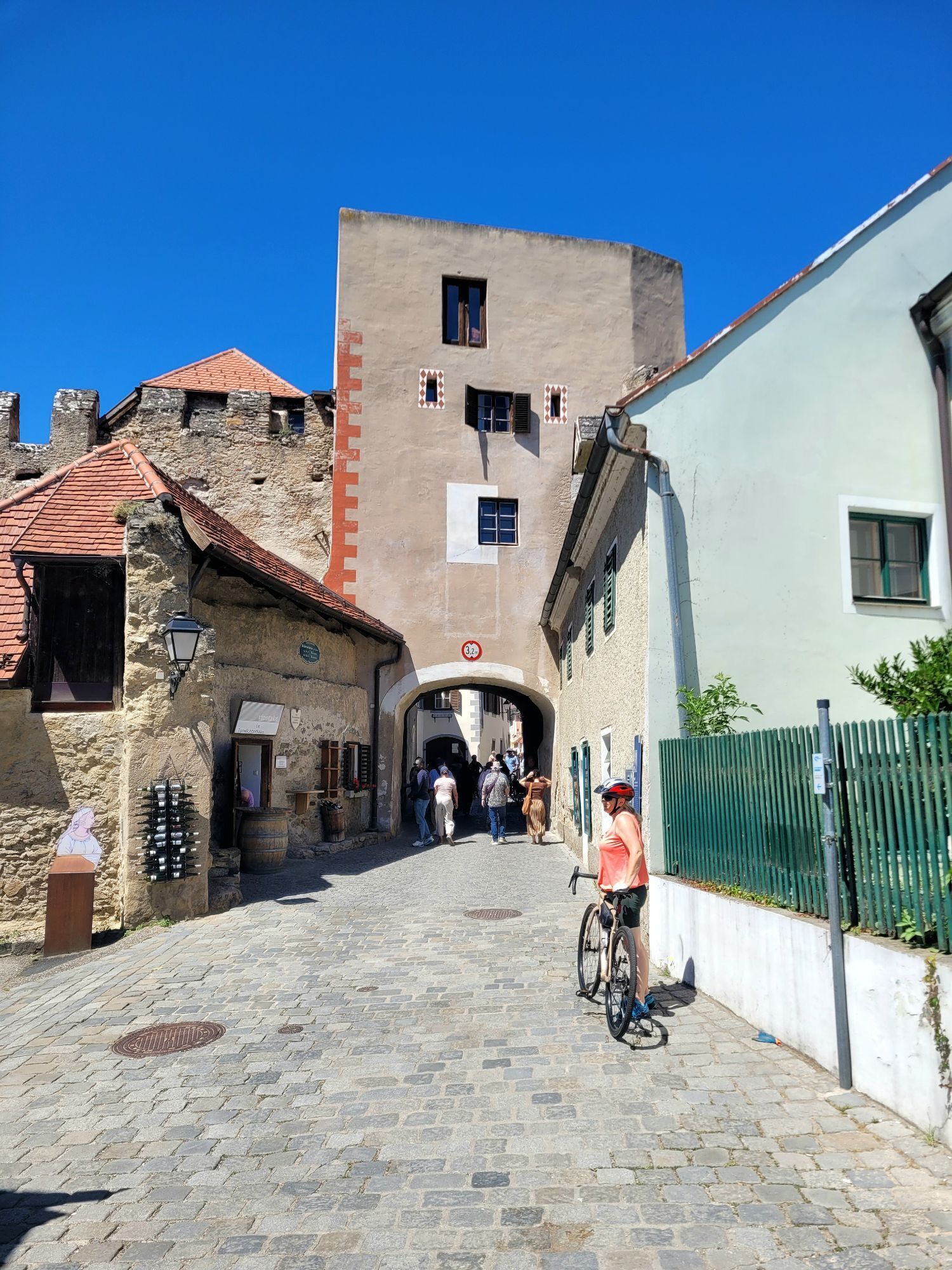
This leisurely one-hour walk allows you to discover the town and its history through 7 of the total 23 stations on barrier-free paths.
Dürnstein, located at the foot of the steep castle rock overlooking...
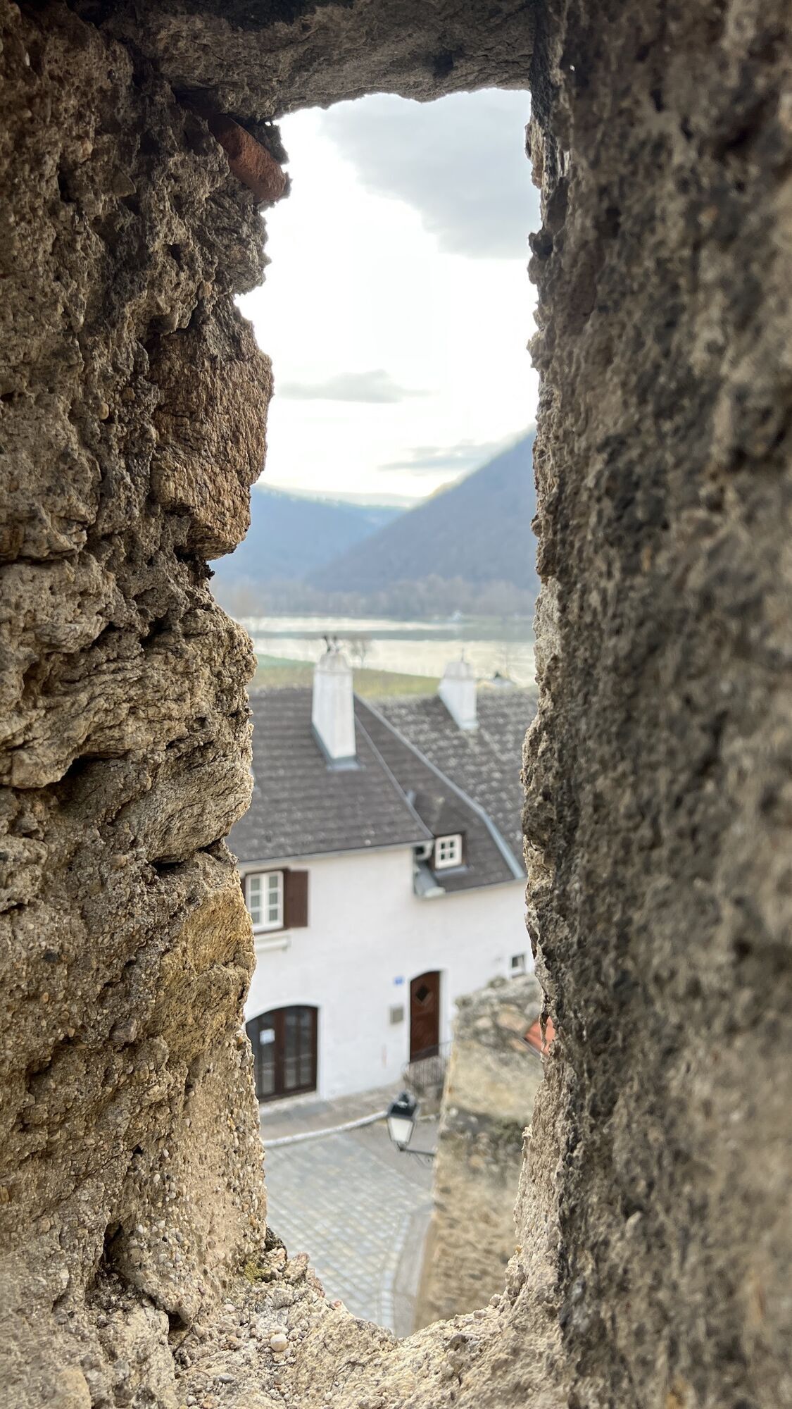
<p>This leisurely one-hour walk allows you to discover the town and its history through 7 of the total 23 stations on barrier-free paths.</p><p>Dürnstein, located at the foot of the steep castle rock overlooking the Danube, with its well-preserved medieval city wall ring, is one of the most important urban ensembles in Lower Austria. The old Kuenringer town, where tradition and beauty meet in a unique way, is an indispensable destination on the banks of the Danube. Enjoy Wachau wines during your stay in a cozy Heuriger tavern or in the shady garden of a restaurant.</p>



<p>Follow the guidance system through Dürnstein, which will surely show you the best way through the town and ensure you don’t miss any highlights.</p>
<p>A1 to the St. Pölten junction, continue on S33 to Krems or on B3 to Dürnstein.</p>
<p>Outside of Dürnstein, there are five large paid parking lots. The town centre of Dürnstein is reachable within a 5 to 10 minute walk.</p>
In the free Dürnstein city map and on the overview boards at the parking lots and at the train station, you will find a list of the best addresses and sights of Dürnstein.
Contact: Municipal office Dürnstein
3601 Dürnstein No. 25, Tel. 02711 219, office@duernstein.gv.at
The highlights of the route:
Stift Dürnstein, the baroque jewel and landmark of the WachauKremser GateWith support from the state and the European Union (LEADER)

Oblíbené prohlídky v okolí
-
4.4
Welterbesteig Wachau 02: Dürnstein-Weißenkirchen
světlodálková pěší trasa 15.9 km -
4.5
Welterbesteig Wachau 03: Weißenkirchen-Spitz
světlodálková pěší trasa 10.4 km -
4.7
Welterbesteig Wachau 01: Krems-Dürnstein
světlodálková pěší trasa 12.3 km -
4.8
Vogelbergsteig -Kanzel- Fesselhütte - Ruine Dürnstein zum Heurigen in Furth
středníTuristika 7.59 km -
4.7
Wachau: Seekopf - Hirschwand
středníTuristika 10.4 km -
4.7
Rundhöhenwanderweg Weißenkirchen in der Wachau - Schildhütten - Cholerakreuz - Weißenkirchen
světloTuristika 8.70 km -
4.6
Krems (Welterbesteig) - Dürnstein - Vogelbergsteig - Kanzel - Fesslhütte - Krems
středníTuristika 18.0 km -
4.6
AGGSTEIN Ruine, Aggstein, Druidentürme und zurück 20241019
středníTuristika 7.50 km -
4.6
Maria Langegg - Rote Wand - Hoher Stein - Kastlkreuz
středníTuristika 11.4 km -
4.5
Panoramaweg Weissenkirchen
světloTuristika 5.04 km
Pěší turistika a stopování


Nenechte si ujít nabídky a inspiraci pro vaši příští dovolenou
Vaše e-mailová adresa byl přidán do poštovního seznamu.





