







Wine Cycling Route Traminer

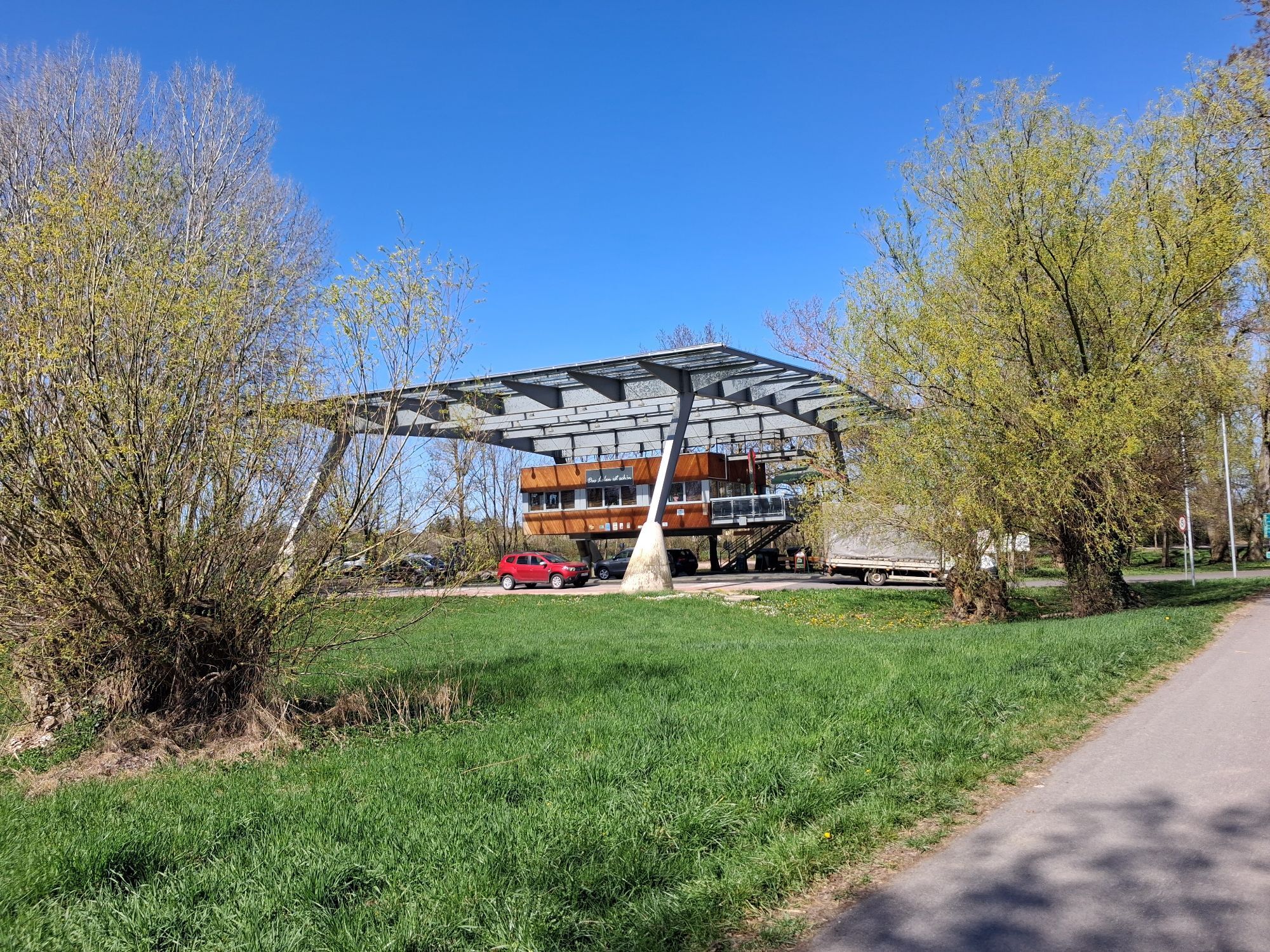
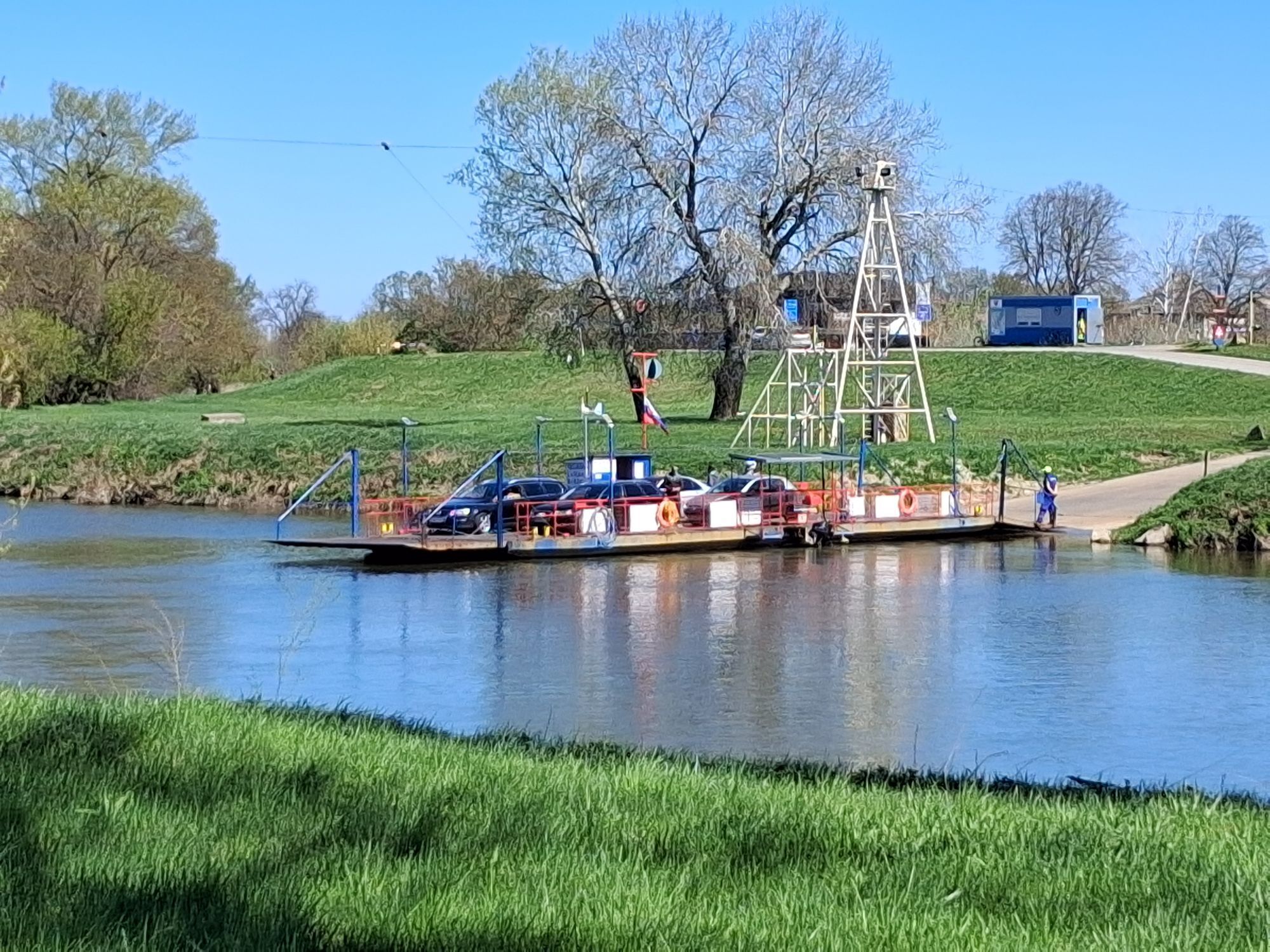
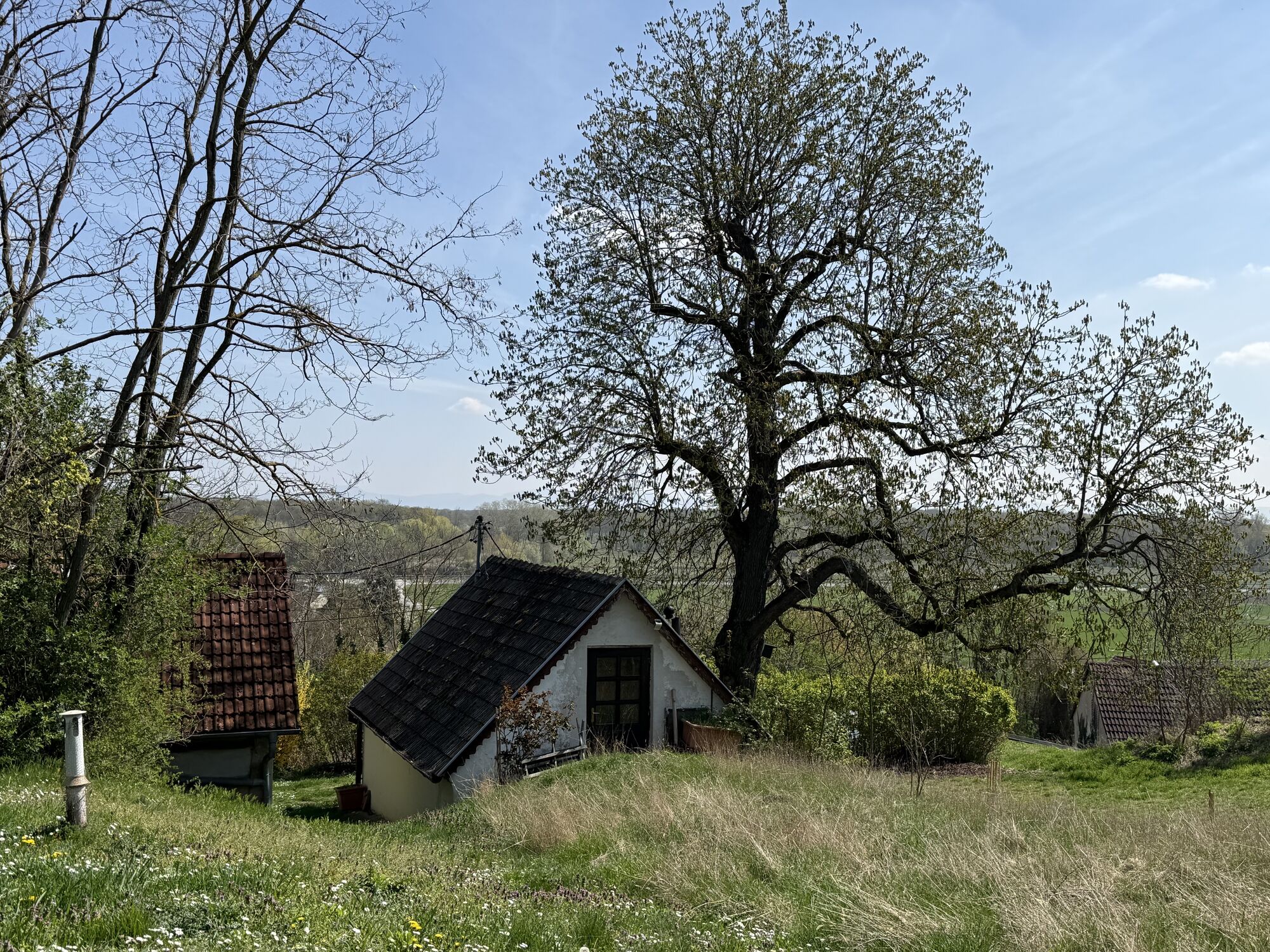
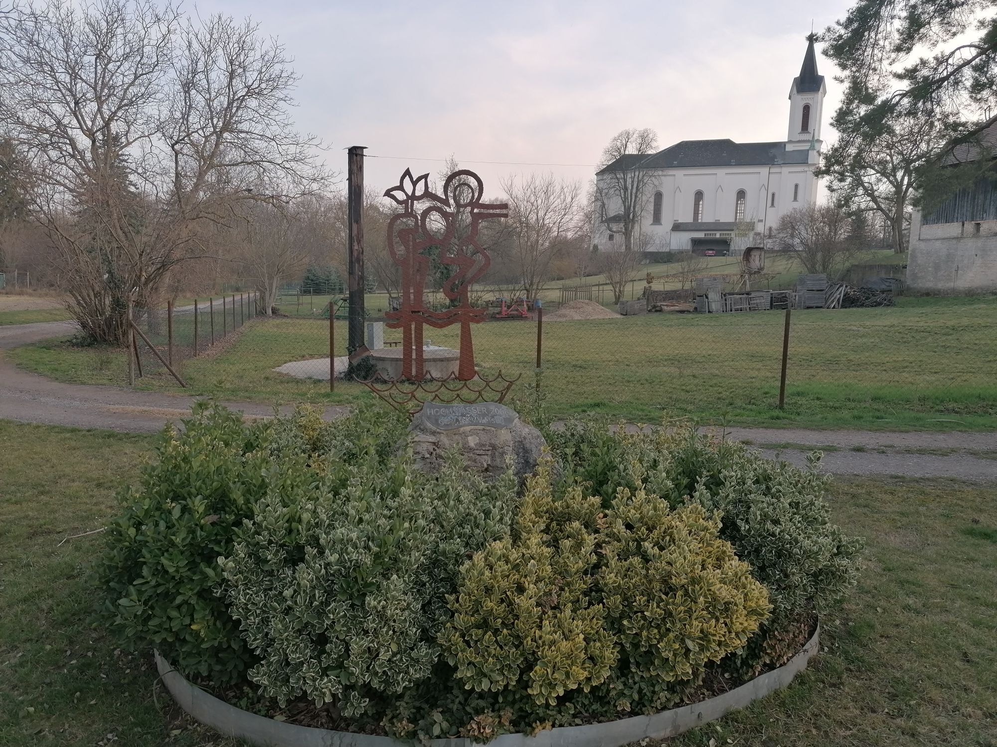

Let yourself be fascinated by the endless world of prehistory and enjoy the atmosphere of numerous cellar lanes as well as "energy-rich" information along the way – all of this is offered by this full-day...
<p>Let yourself be fascinated by the endless world of prehistory and enjoy the atmosphere of numerous cellar lanes as well as "energy-rich" information along the way – all of this is offered by this full-day route for the ambitious pleasure cyclist. Beautiful views over the Schneeberg up to the Carpathians allow your gaze to wander into the distance at the end.</p>



<p>The starting point of the "Traminer" cycling route is Angern an der March. However, the route can also optionally start at the train station in Gänserndorf. There is a connection to the bike path via Dörfles.</p><p>From Angern, cycle to Mannersdorf an der March. Particularly attractive here is the cellar hill "Wutzelburg". Then continue to Stillfried, where you have the opportunity to explore the "Center of Prehistory". The route then leads through Ebenthal and Spannberg, where you should plan a "detour" to the cellar lane at Quent. Via Erdpreß, you then reach Niedersulz, where a special highlight awaits you: In the Niedersulz Museum Village, the largest open-air museum in Lower Austria, you can visit transferred historical buildings on an area of over 20 hectares and admire numerous gardens where plant rarities and old fruit varieties thrive.</p><p>Then cycle further via Martinsdorf to Hohenruppersdorf. Here, the cellar lane and the Erlebnis Weingartl invite you to linger. Afterwards, the route continues to Groß-Schweinbarth. Another attraction you can visit is the Lower Austria Agricultural Museum. In Groß-Schweinbarth, you also come across the Wine Tour with Energy - Energy Tour and "OMV Adventure Cycling Route", with many interesting stations on the topic of oil and natural gas. From Matzen, you reach a somewhat steeper section of the route to the viewpoint "Carpathian View", where you are rewarded with a beautiful panoramic view of the Carpathians, Vienna, and on clear days even the Schneeberg. On the way to Prottes, you are accompanied by the largest oil field in Central Europe. In Prottes, the oil and gas educational trail as well as the oil and gas museum give you an overview of their extraction. Via Tallesbrunn, the route finally returns to the starting point at Angern an der March.</p>
<p>Angern an der March can be reached directly by car from Vienna via the federal road "B8".</p>
<p>Coming from Vienna, there is a direct train connection via Gänserndorf to Angern an der March.<br />You can also reach Angern an der March from Breclav via Bernhardsthal.</p>
<p>Parking spaces are available directly at the train station.</p>
In the Weinviertel region, there are over 100 cycling partner businesses that cater especially to the needs of cyclists. You can find a list of all businesses on our cycling partner page. Using the filter function, you can conveniently display the businesses of the desired cycling route. Another filter allows you to search for suitable accommodation or gastronomic establishments.


Oblíbené prohlídky v okolí
-
4.0
Matzner Hügel und -Wald
světloTuristika 12.0 km -
3.2
Wolkersdorfer Weinberge
světloTuristika 13.2 km -
4.6
»Tut gut« Schritteweg Bockfließ
světloTuristika 7.08 km -
4.8
Groß-Schweinbarth Hohlwegrunde
světloTuristika 4.82 km -
3.8
Hundsberg RDW, Kreuttal/Weinviertel
světloTuristika 10.4 km -
4.5
Traminertour
středníJízda na kole 60.1 km -
Hochleithenwald, Kellergassen, Hügelgrab
světloTuristika 14.7 km -
5.0
Wolkersdorf/Weinviertel RDW
středníTuristika 13.4 km -
4.5
Hautzendorf 1
světloTuristika 8.25 km -
4.7
"Tut gut" Sommerfrische Wolkersdorf im Weinviertel, Österreich
světloTuristika 7.24 km

Pěší turistika a stopování


Nenechte si ujít nabídky a inspiraci pro vaši příští dovolenou
Vaše e-mailová adresa byl přidán do poštovního seznamu.





