







Yspertaler Höhenstraße
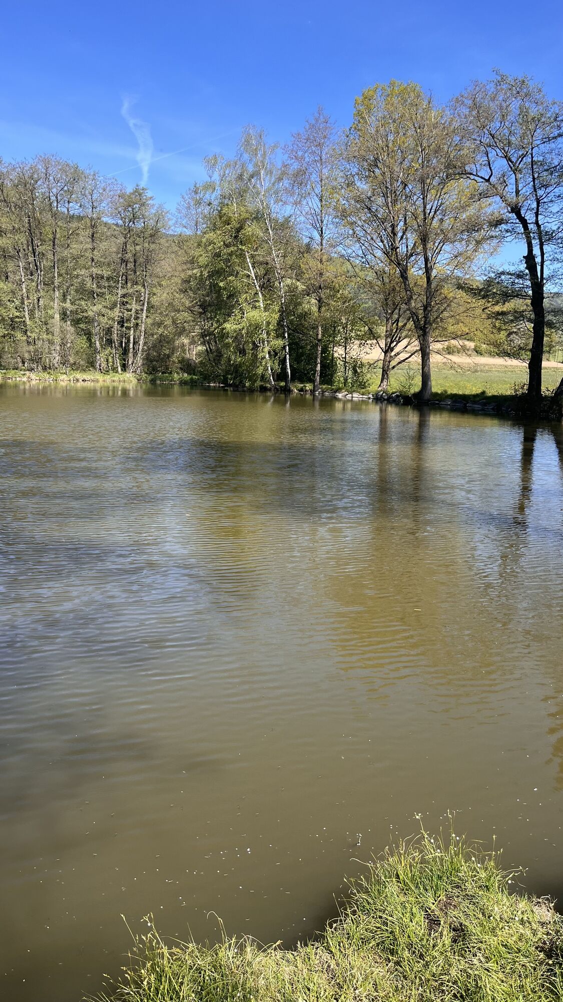
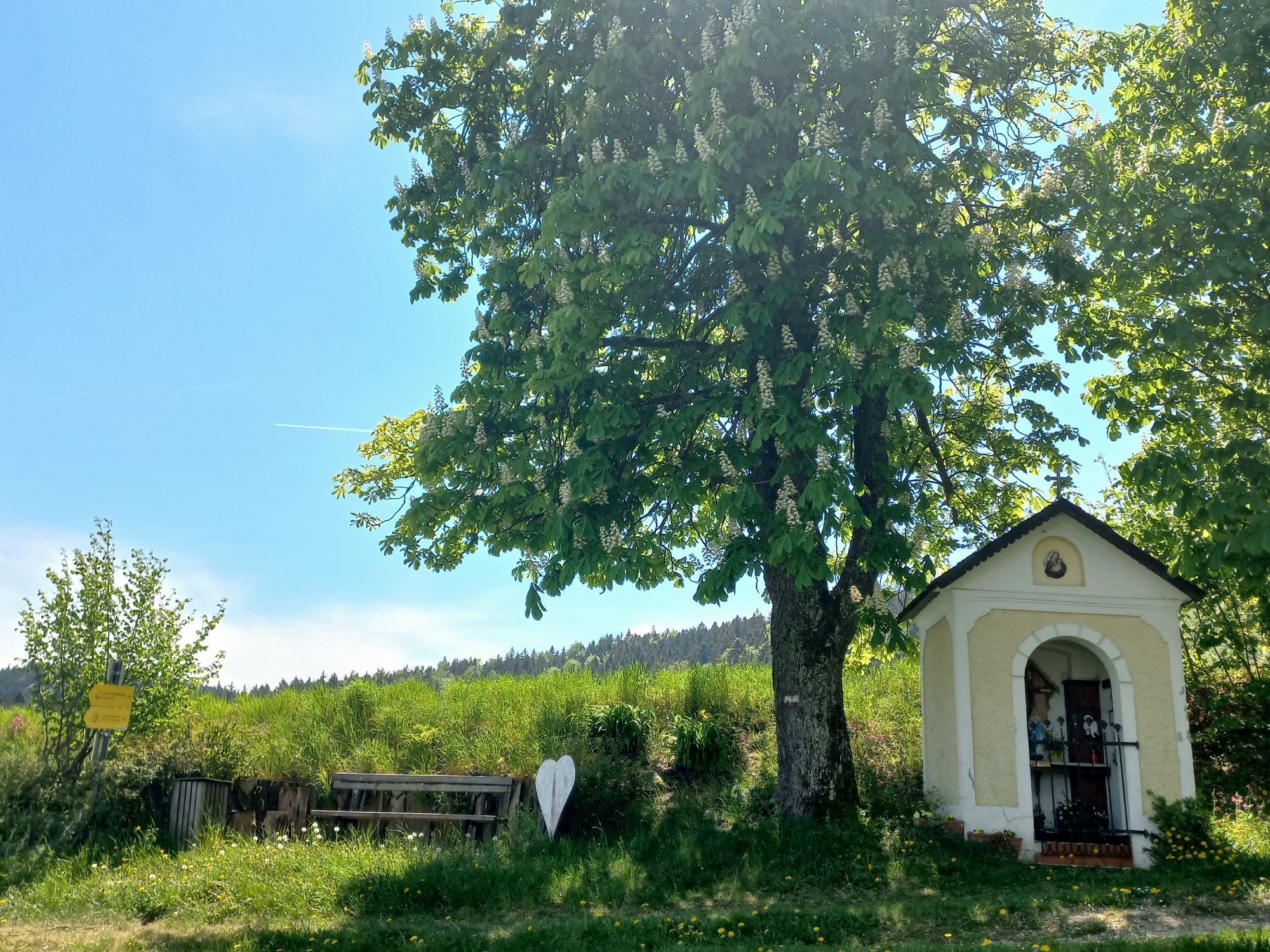
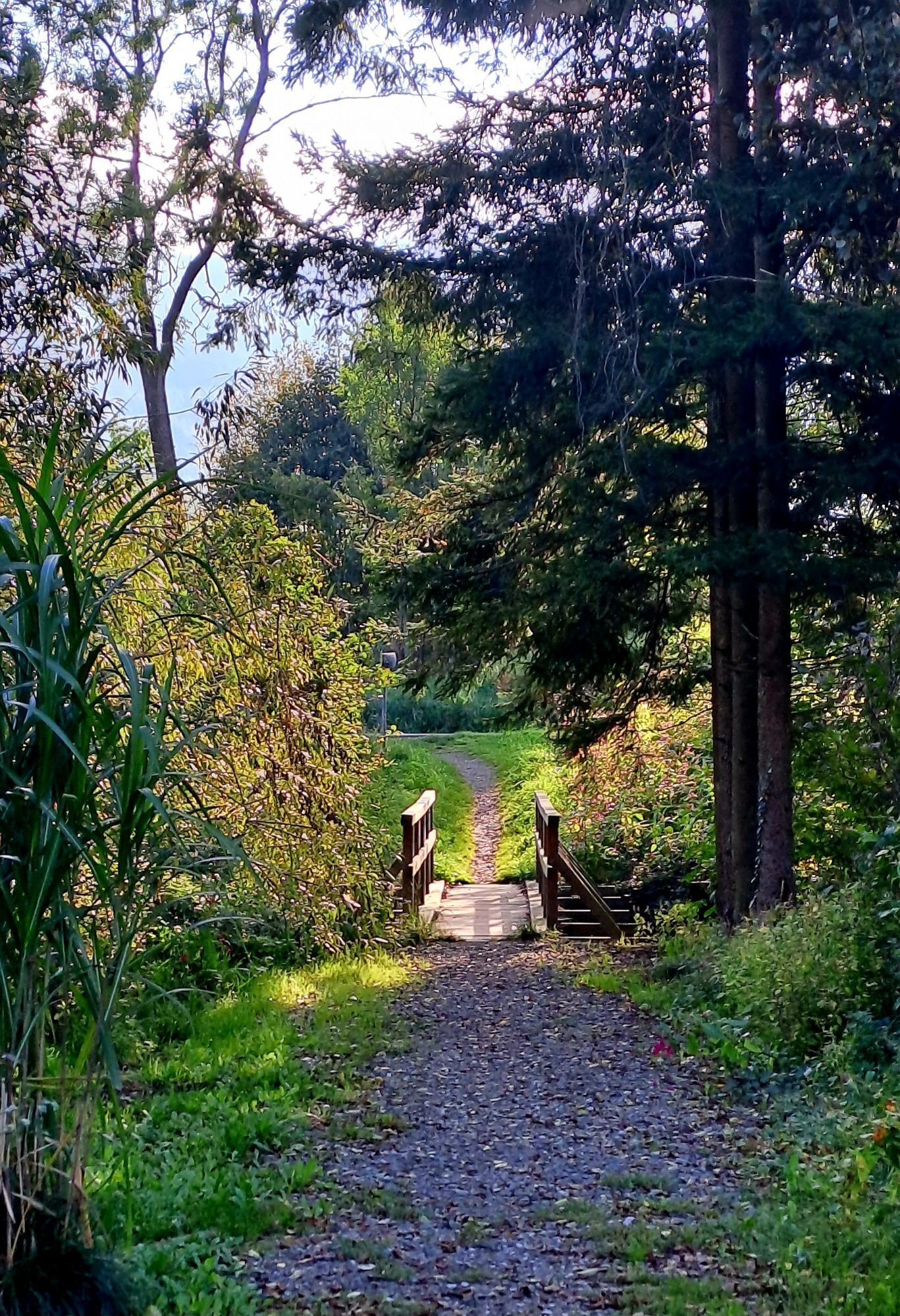
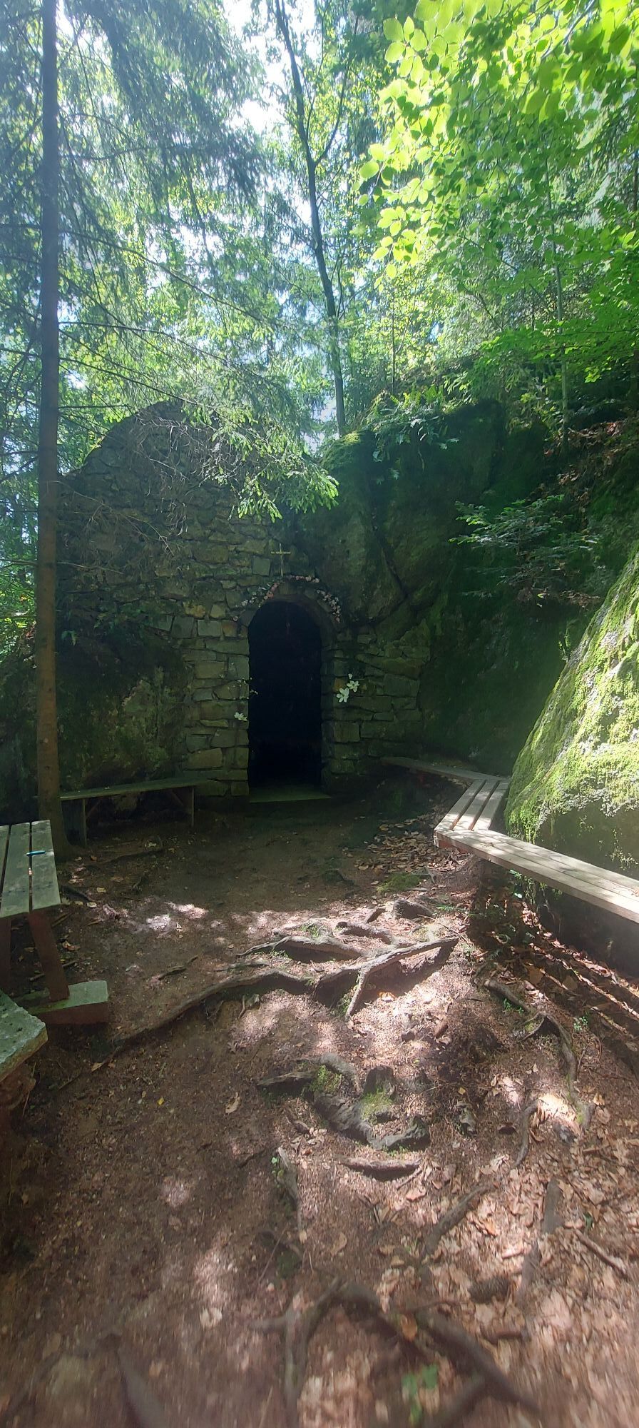
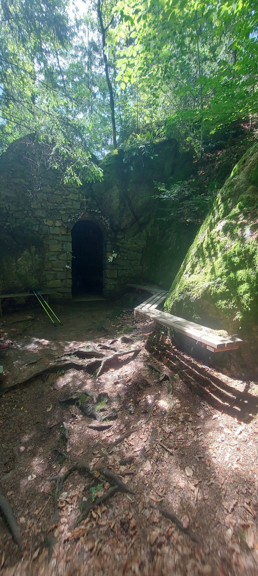
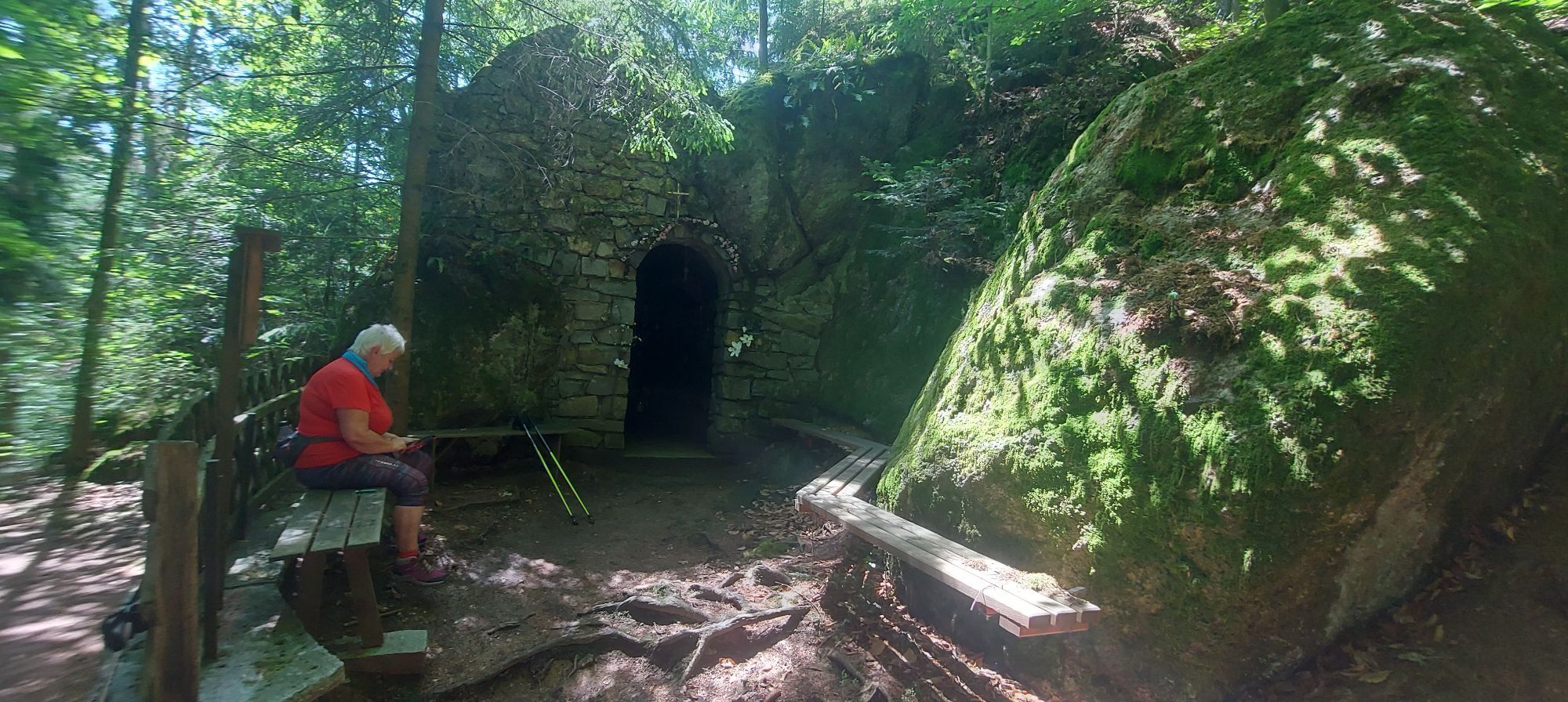
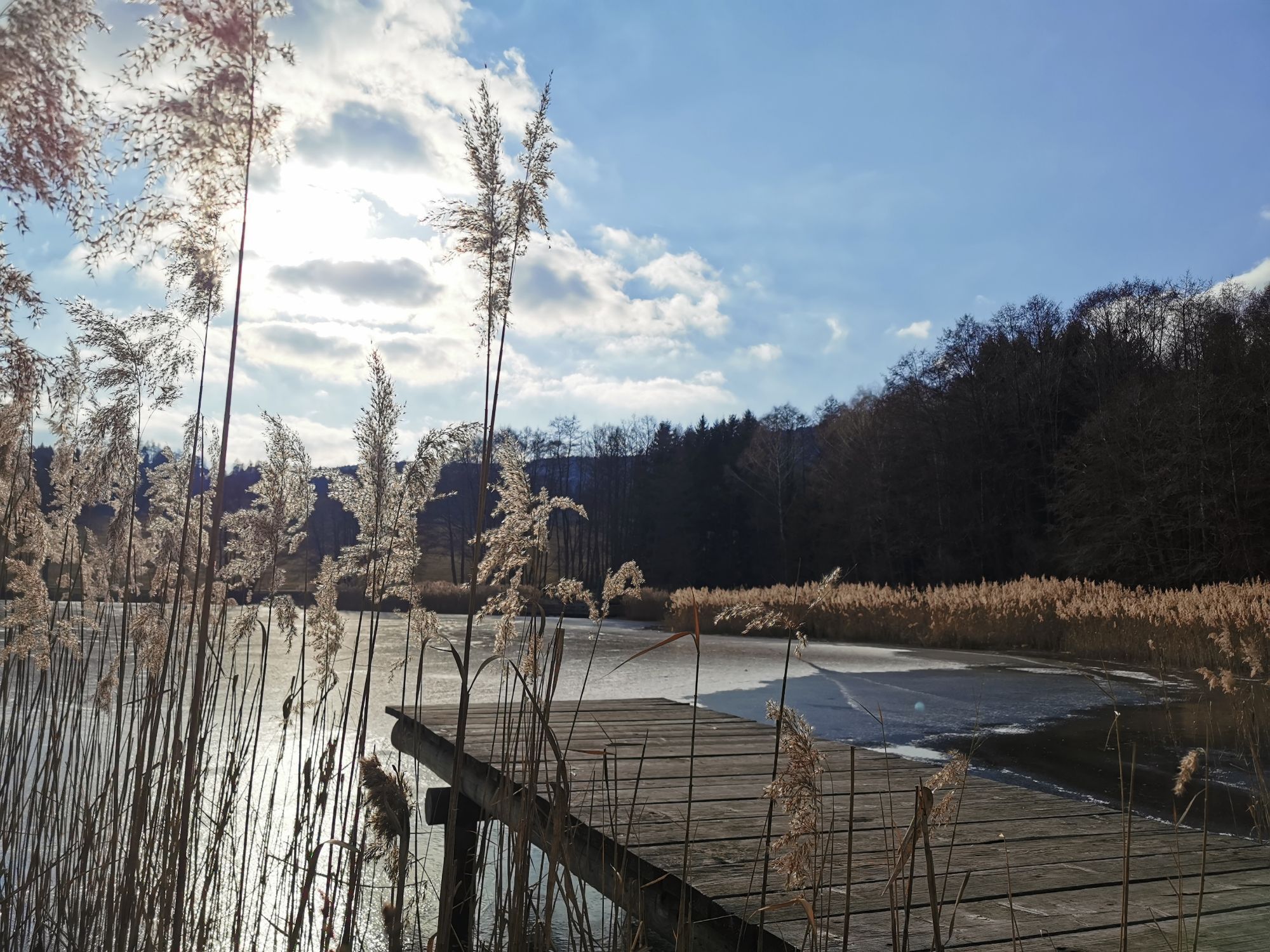
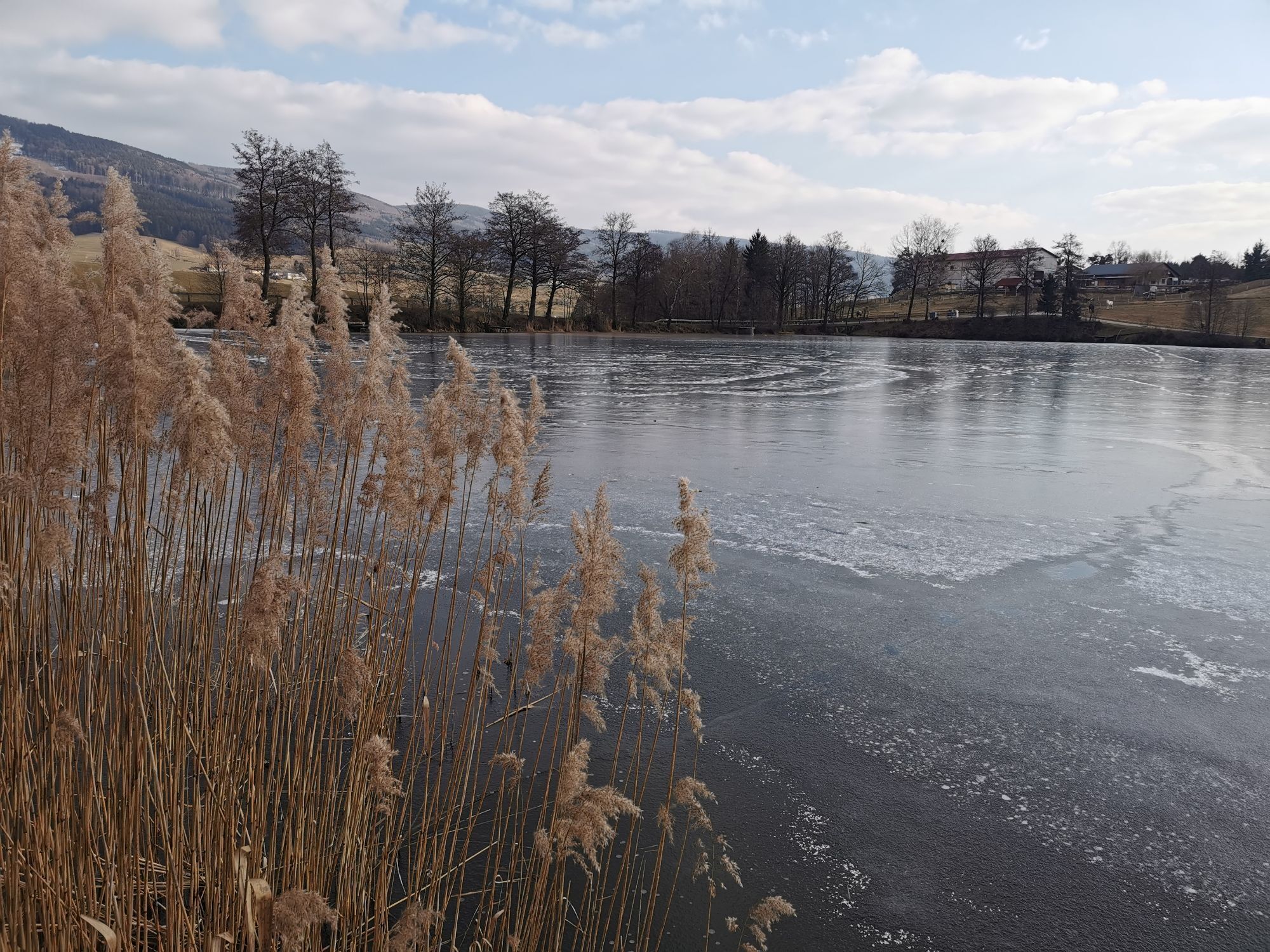
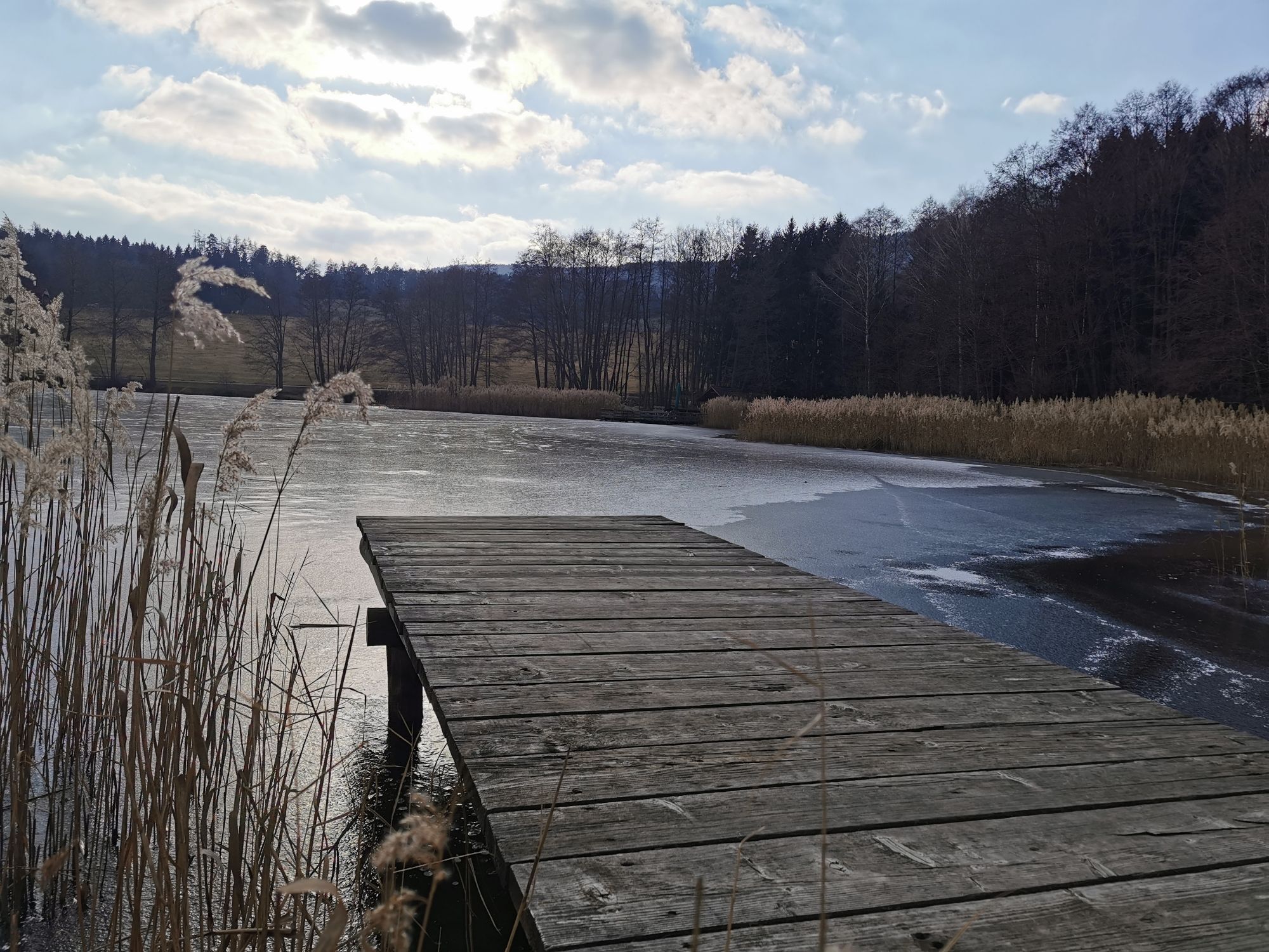
The Höhenstraße leads you past small villages, idyllic spots, along the Ysper, through the town centers of Altenmarkt and Ysper and finally back to the starting point – you will be gifted with special...
<p>The Höhenstraße leads you past small villages, idyllic spots, along the Ysper, through the town centers of Altenmarkt and Ysper and finally back to the starting point – you will be gifted with special views, insights and impressions.</p>

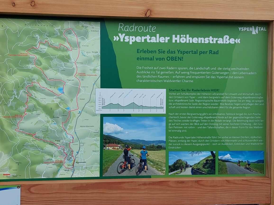
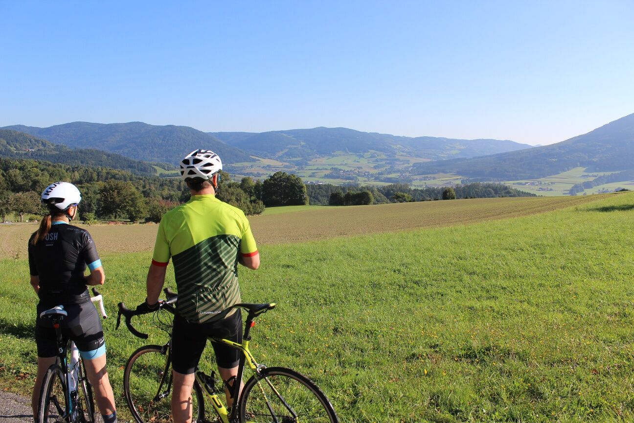
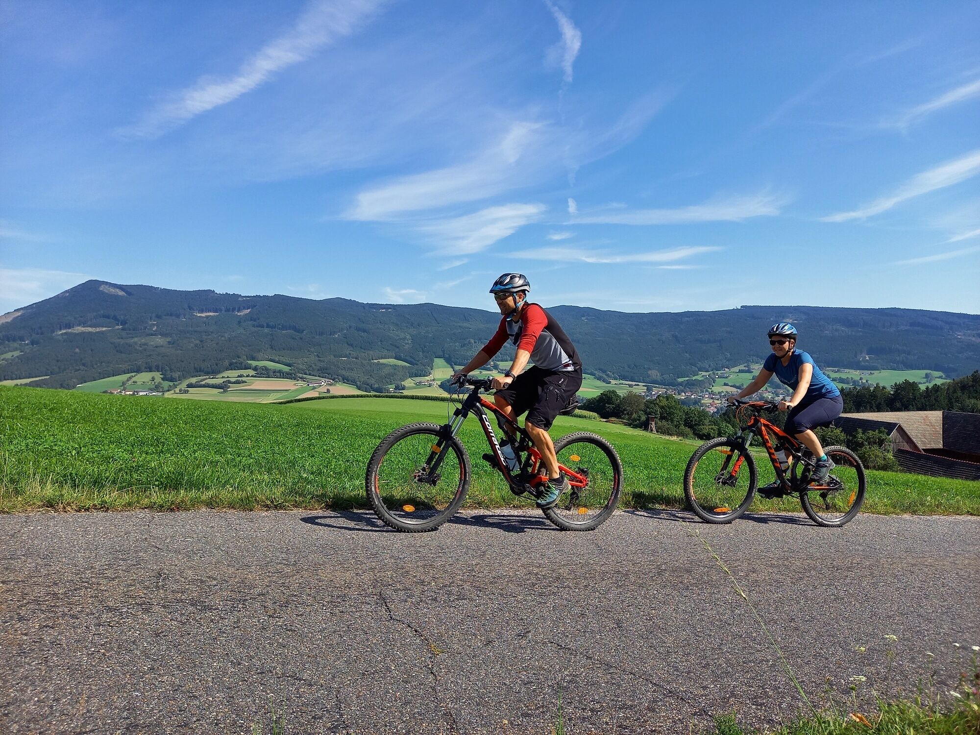
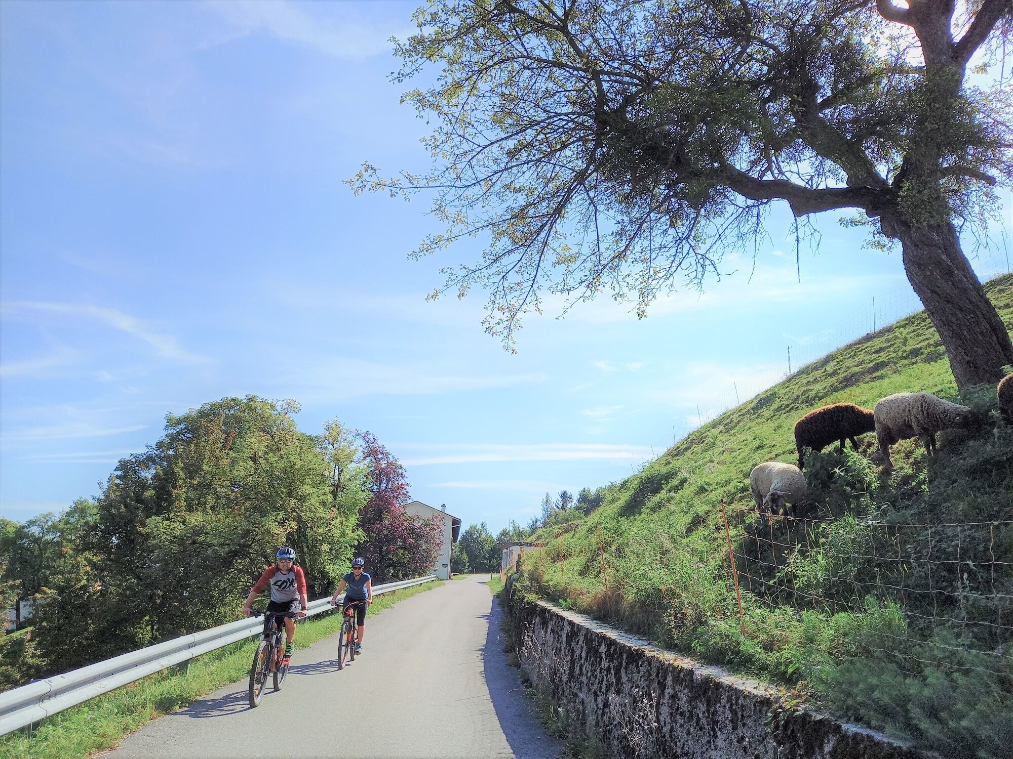
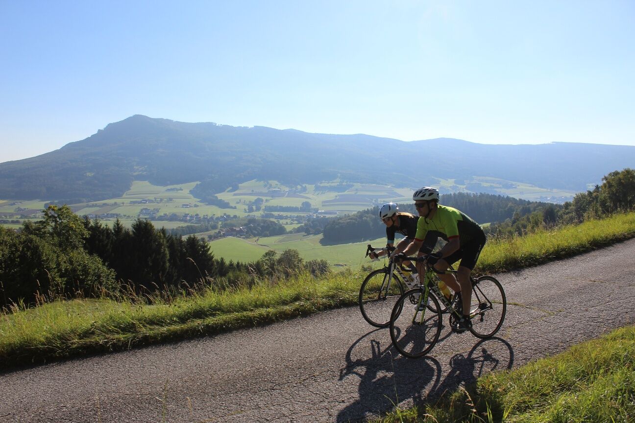

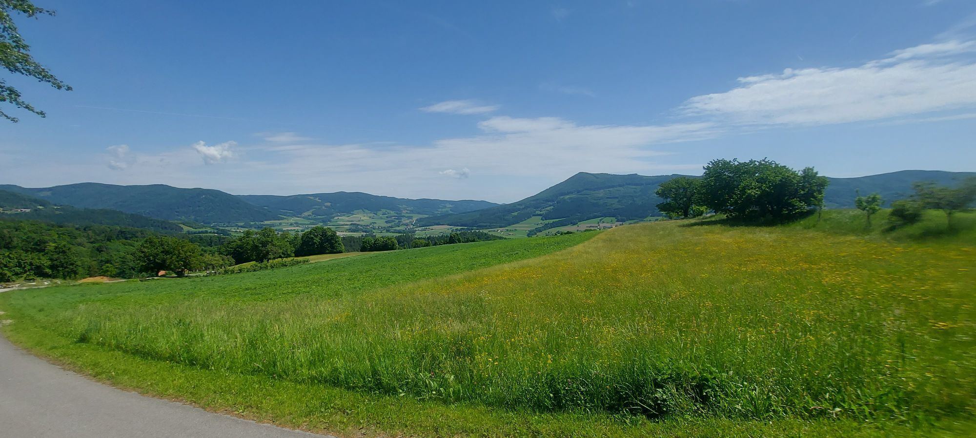
<p>Past the school complex of the Higher Institute for Environment and Business, through the town center of Ysper – and then downhill on the farm road “Kapelleramtstraße” or “Kapelleramt Süd”. Region-typical farms accompany you along the way, reflecting the architectural soul of the region. Their owners care for and nurture the landscape, thereby providing invaluable value to the entire region.</p><p>After the first ascent, there is a relaxing downhill section to the Puschacherteich before the farm road “Kapelleramt Nord” on the opposite side of the pond demands strong pedaling again. The reward is not long in coming: the view of the Ostrong with its highest peak – the Groß Peilstein at 1061m – and the valley landscapes, which are unique in this form for the Waldviertel.</p><p>The Yspertaler Höhenstraße cycling loop takes you past small villages, idyllic spots, along the Ysper, through the town center of Altenmarkt and finally back to this starting point – rich in views, insights and Waldviertel impressions.</p>
<p>We recommend: helmet, suitable clothing and footwear, rain and sun protection, first aid kit (blister plasters), enough provisions (snack, muesli bars, fruit, water).</p>
<p>Make sure when choosing the route that it matches your fitness level. Check whether the gastronomy businesses you want to visit along the way are open. Pack your mobile phone and map material in your backpack.</p>
<p>All information about all bus and train lines to the Waldviertel can be found at www.vor.at or www.oebb.at.</p>
TVB Ysper-Weitental
3683 Yspertal, Hauptstraße 9
(T) +43 7415 6767 25
(E) info.yw@waldviertel.at
(I) www.waldviertel.at
Získejte přehled
Vždy živě na místě s více než 9 500 webkamerami. bergfex Jako uživatel Pro si nyní můžete zobrazit odpovídající webové kamery pro mnoho prohlídek v aplikaci prohlídky z. Můžete si tak přímo prohlédnout aktuální podmínky.

Oblíbené prohlídky v okolí
-
4.0
Yspertal: Druidenweg - Ysperklamm
středníTuristika 9.56 km -
4.6
Waldhausen: Outlook circuit
středníTuristika 14.0 km -
4.9
Stillensteinklamm Rundweg über Struden
světloTuristika 12.6 km -
4.6
Ausgedehnte Peilsteinrunde
středníTuristika 13.7 km -
4.5
Durch die Steinwandklamm von Maria Taferl aus
světloTuristika 8.26 km -
4.8
Herzsteinweg Ysper und Burgsteinmauer
středníTuristika 14.7 km -
4.9
LAIMBACH Ostrong Peilstein 20220716
středníTuristika 7.70 km -
4.0
Burgstall-Wanderweg Nr. 3
středníTuristika 11.8 km -
4.5
R1.14 Monsteinský okruh
středníJízda na kole 27.0 km -
4.8
Ysperklamm
středníTuristika 8.74 km
Pěší turistika a stopování


Nenechte si ujít nabídky a inspiraci pro vaši příští dovolenou
Vaše e-mailová adresa byl přidán do poštovního seznamu.





