
Navigace na stránkách
Pořiďte si tuto prohlídku do mobilního telefonu
Mapa
Kamp Valley Cycle Path
světlo
Jízda na kole
118.20 km
Naskenujte QR kód a spusťte navigaci v aplikaci bergfex.
QR Code
Pěší turistika a stopování

Kamp Valley Cycle Path
Vzdálenost
118.2 km
Doba trvání
09:14 h
Ascent
1192 hm
Hladina moře
184 - 601 m
Stažení skladby
Mapa
Kamp Valley Cycle Path
světlo
Jízda na kole
118.20 km

Fotografie našich uživatelů

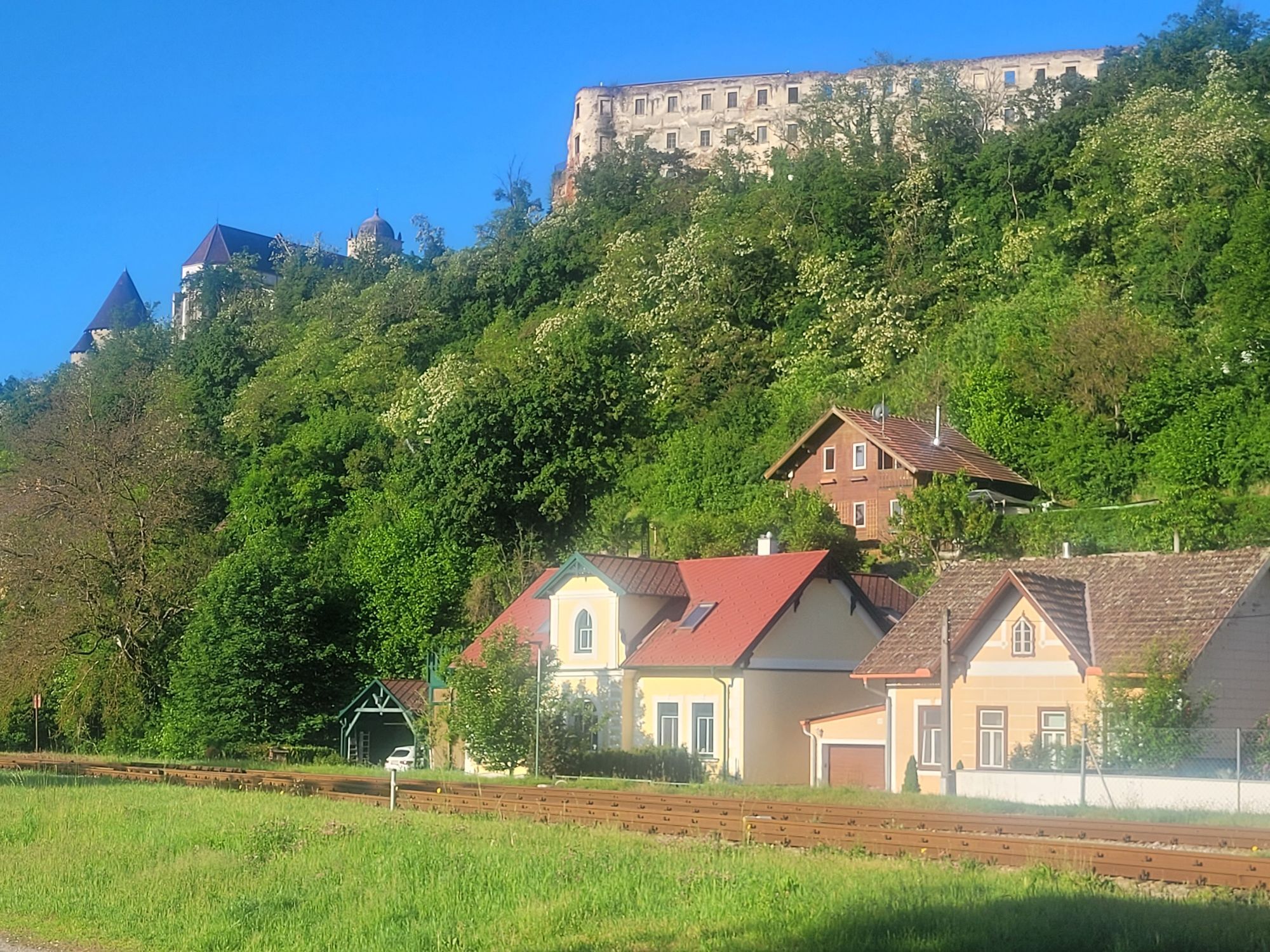
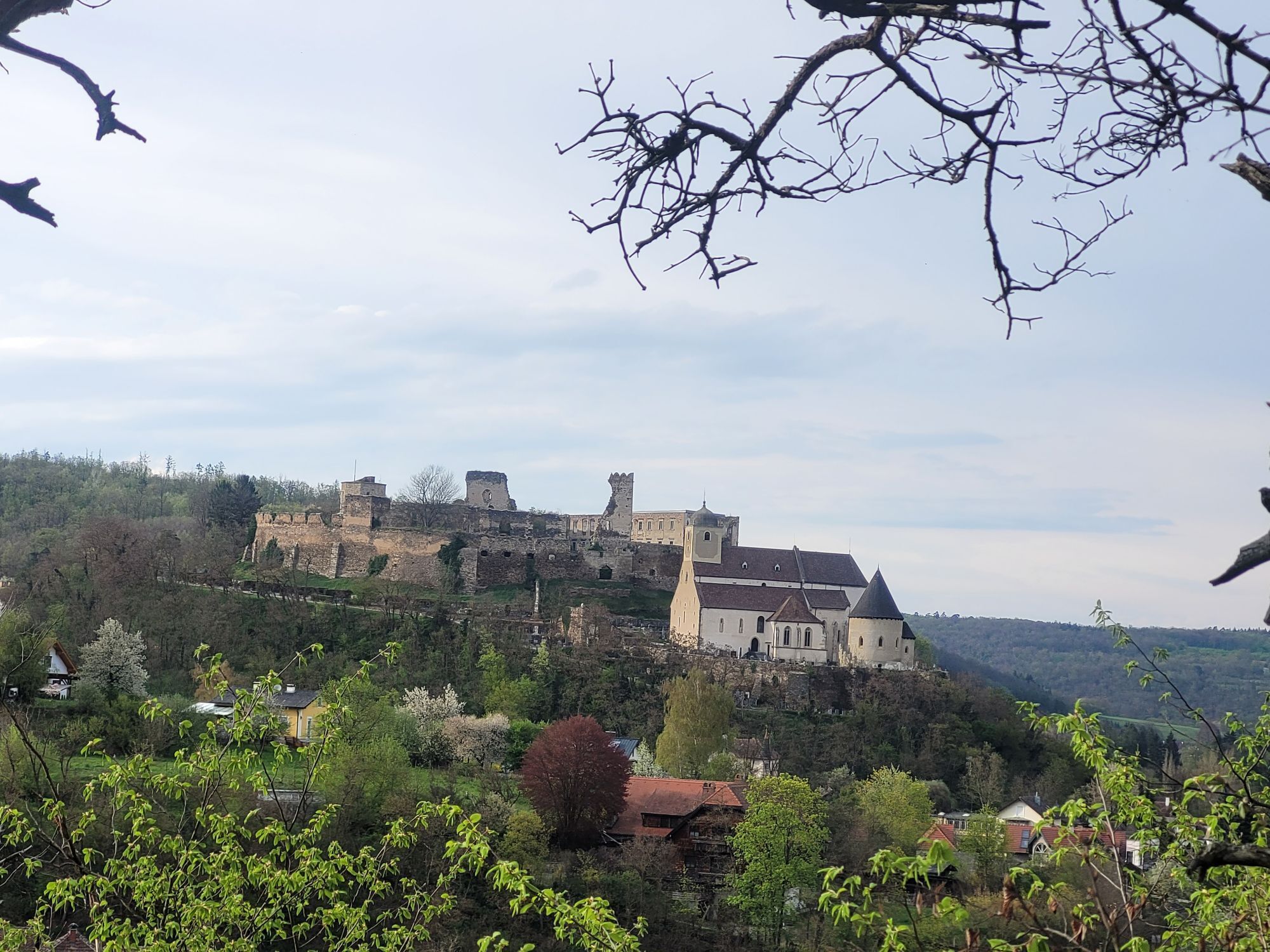
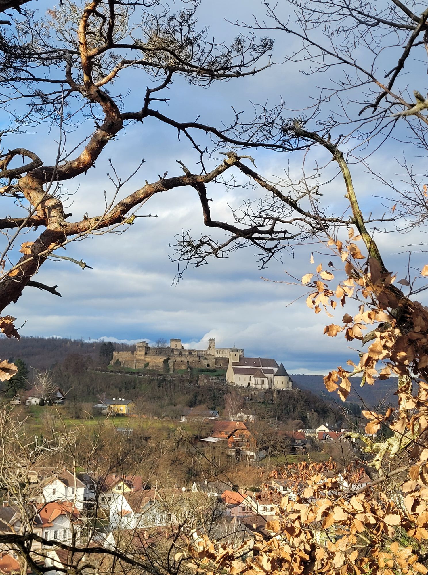
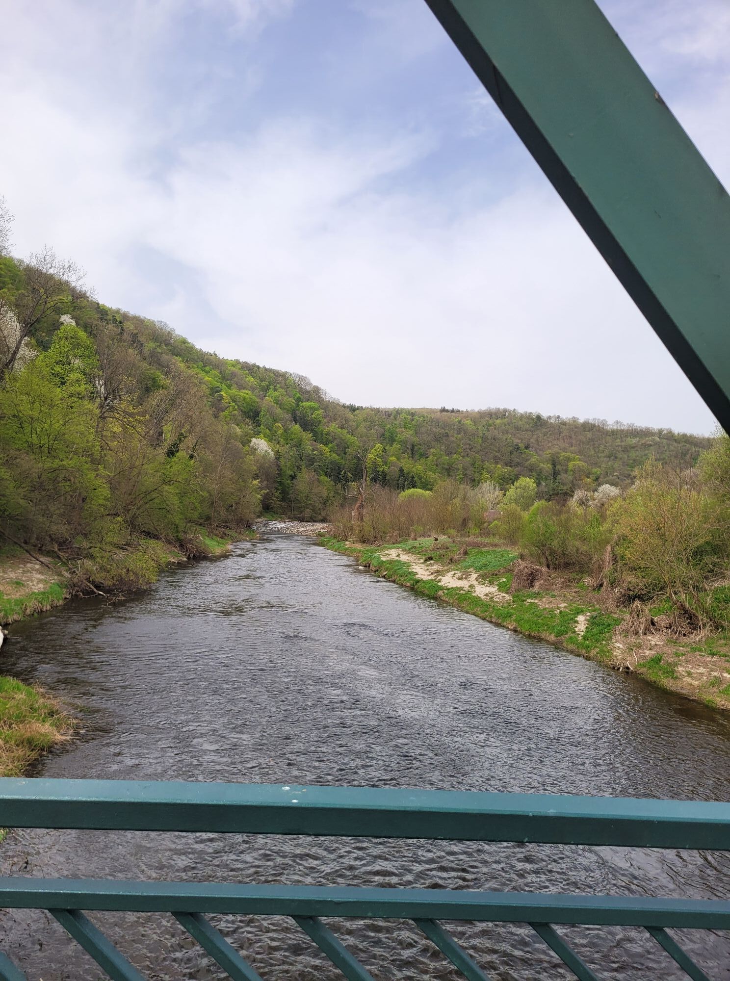
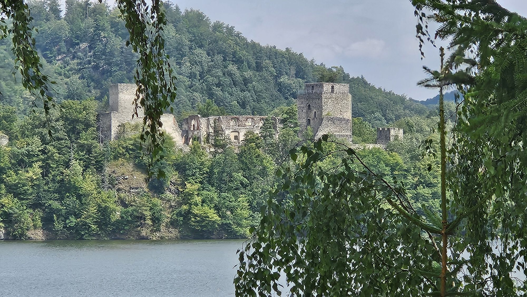
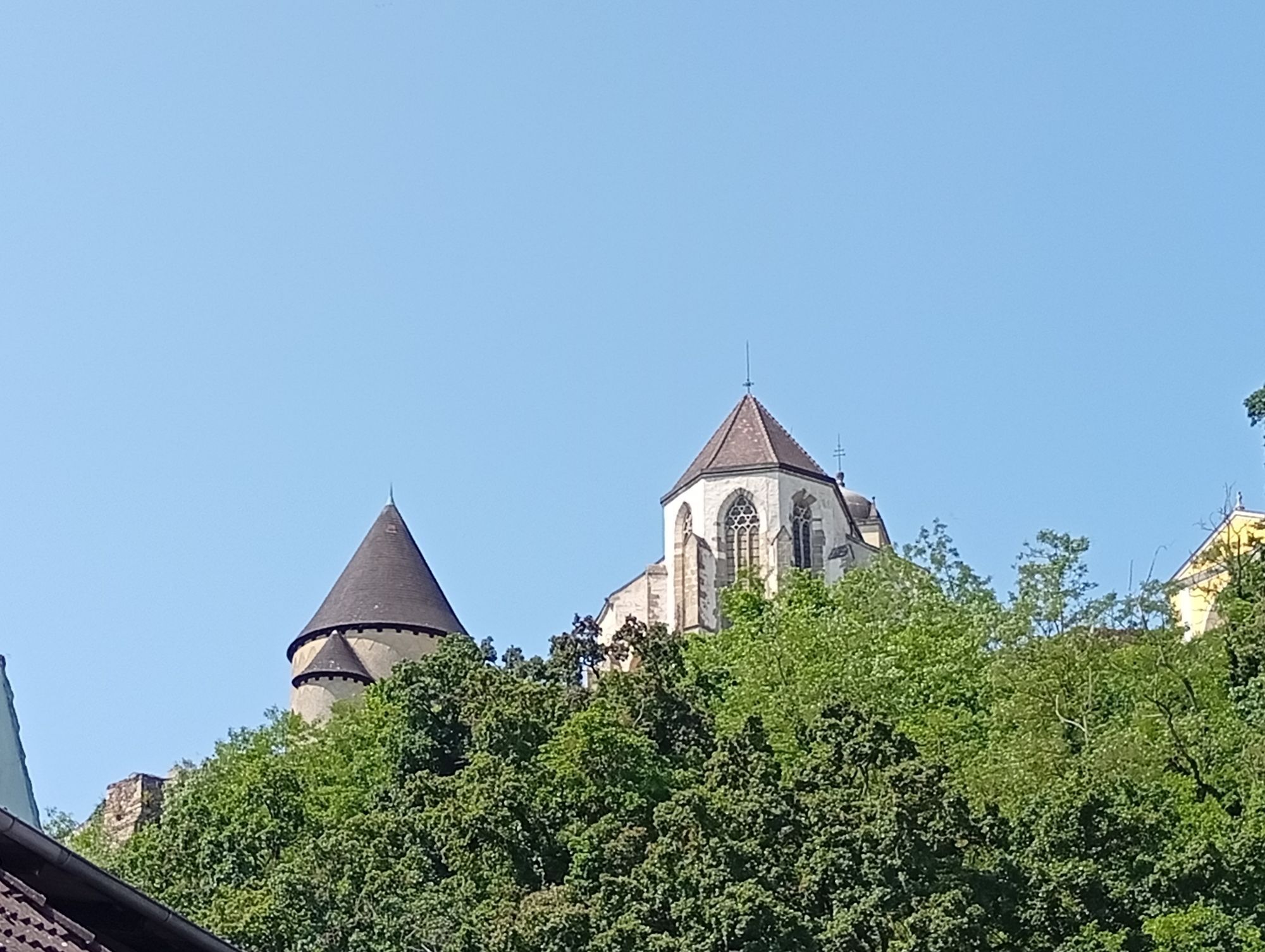
The cycling trip starts in Altenwörth in the Danube valley through the different landscapes of the Kamp valley. In Langenlois, you enter Austria's largest wine town. And not only that: here, wine becomes...

Popis

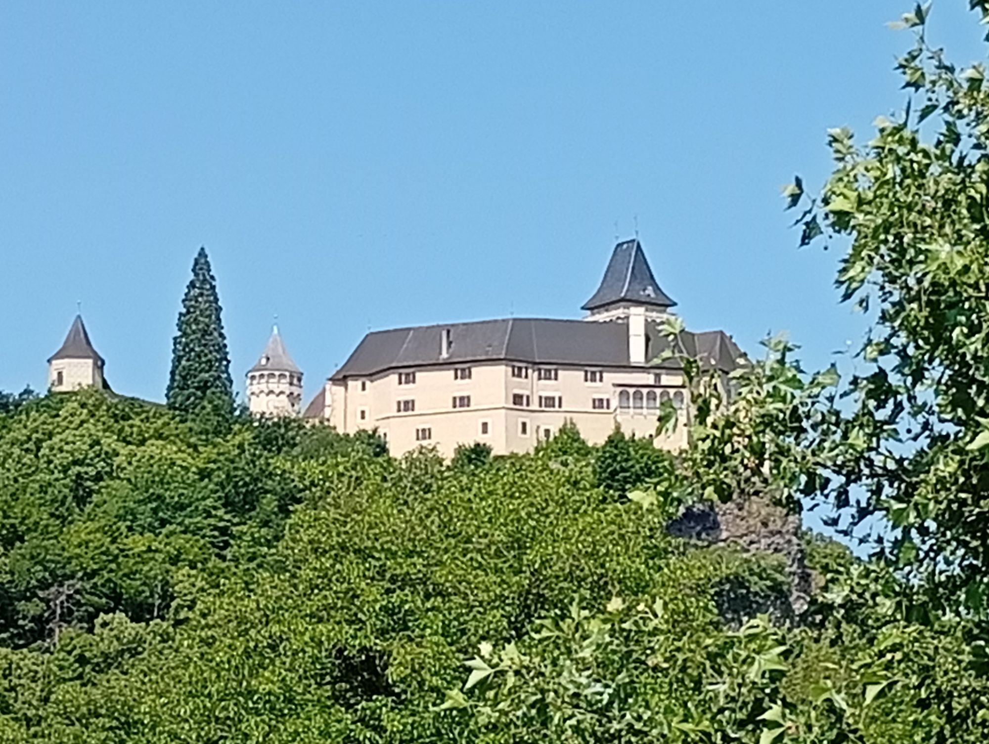
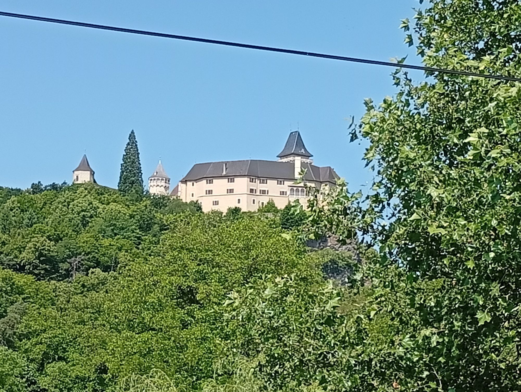
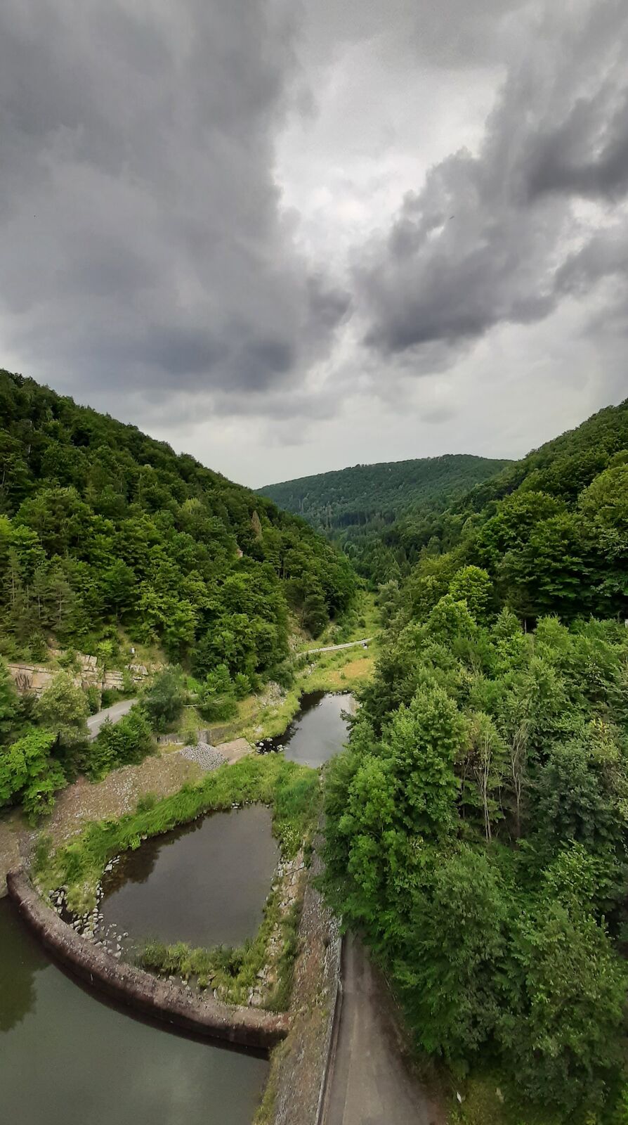
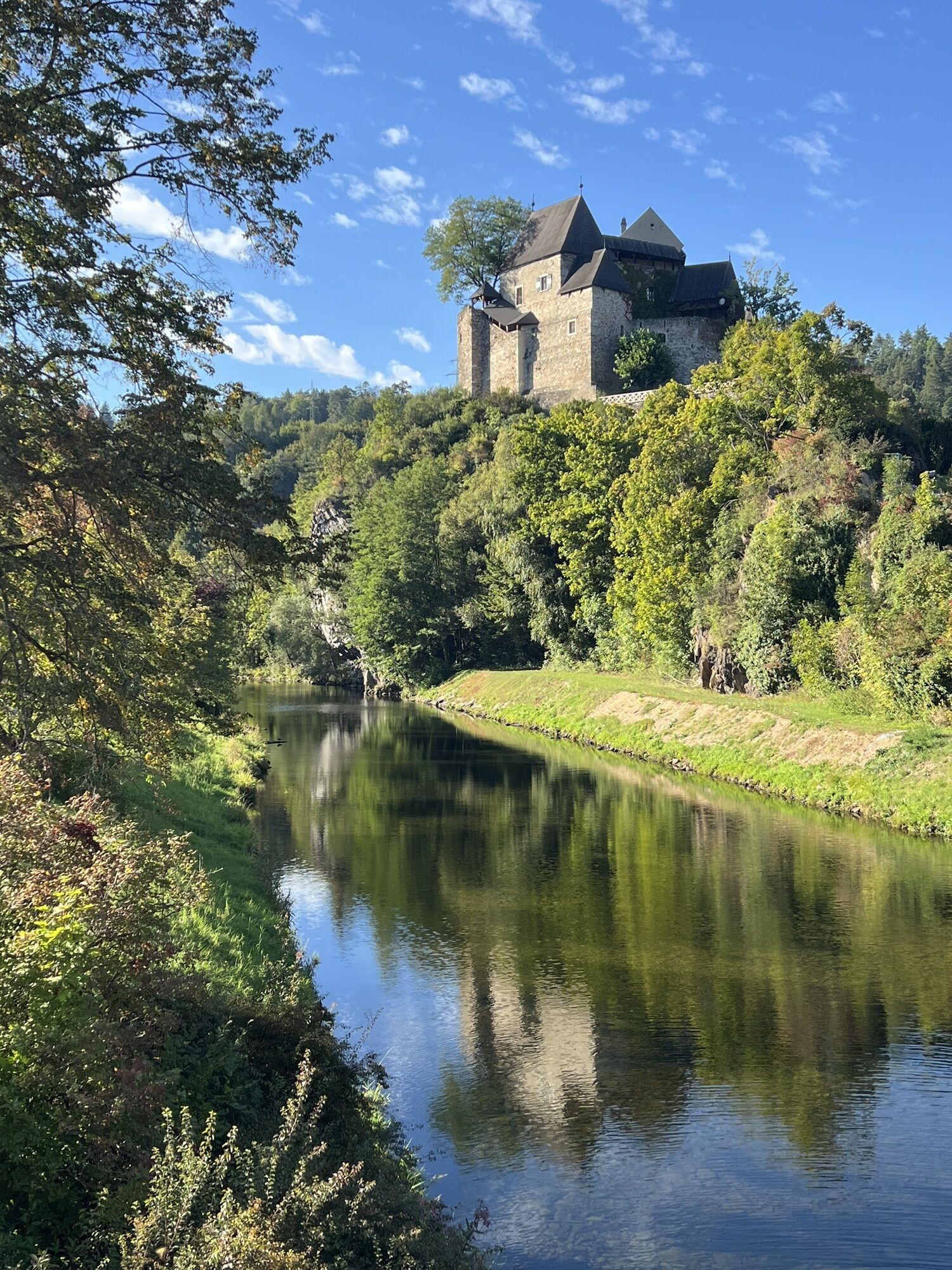
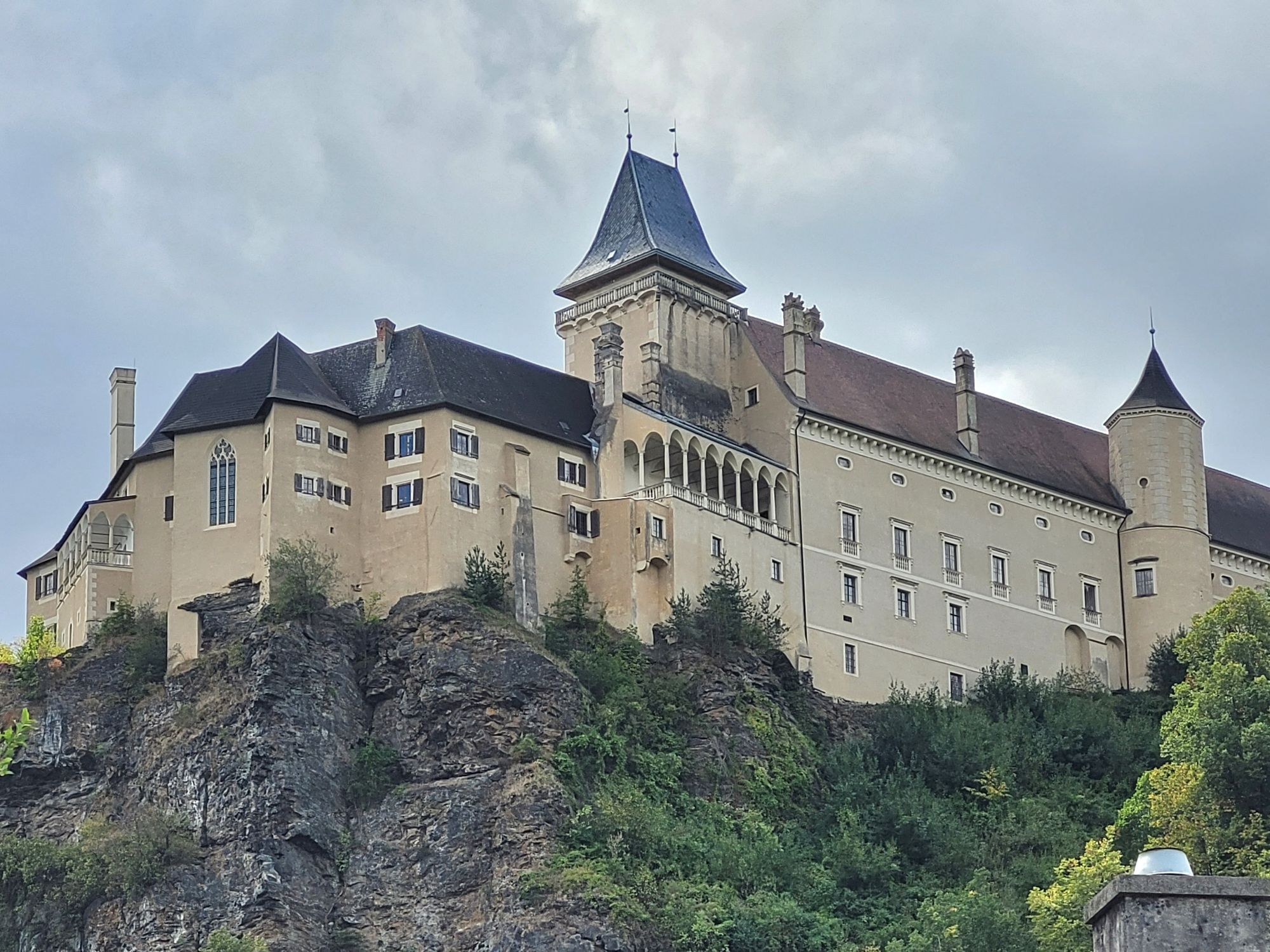
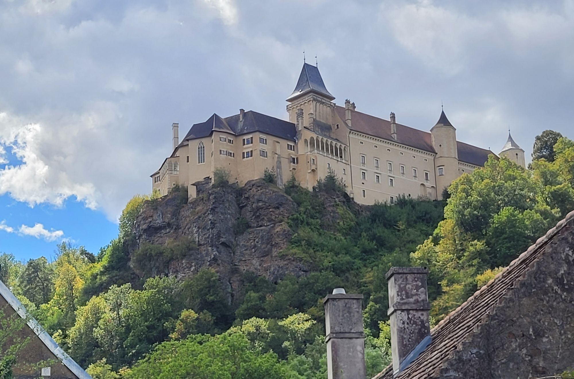
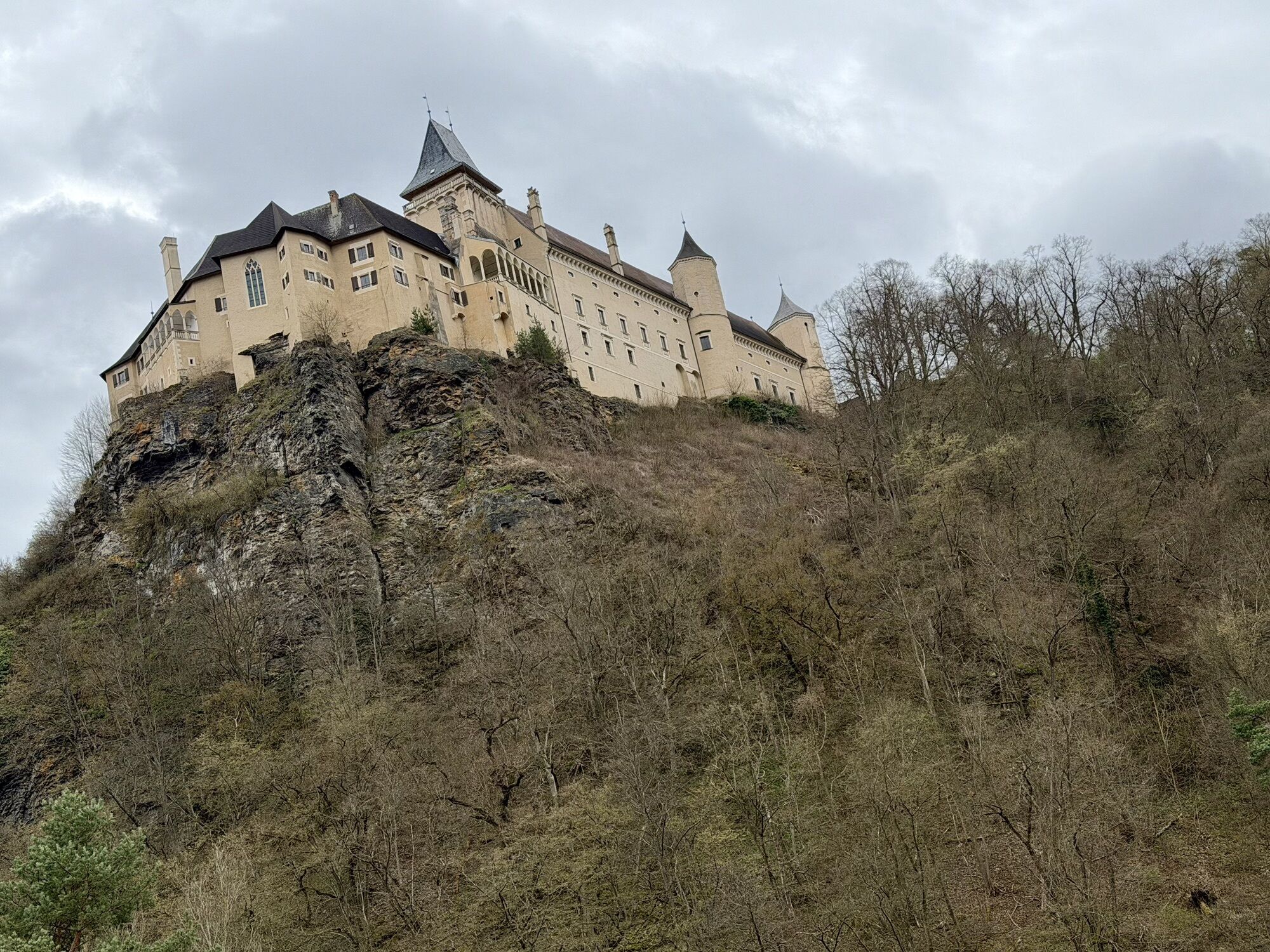
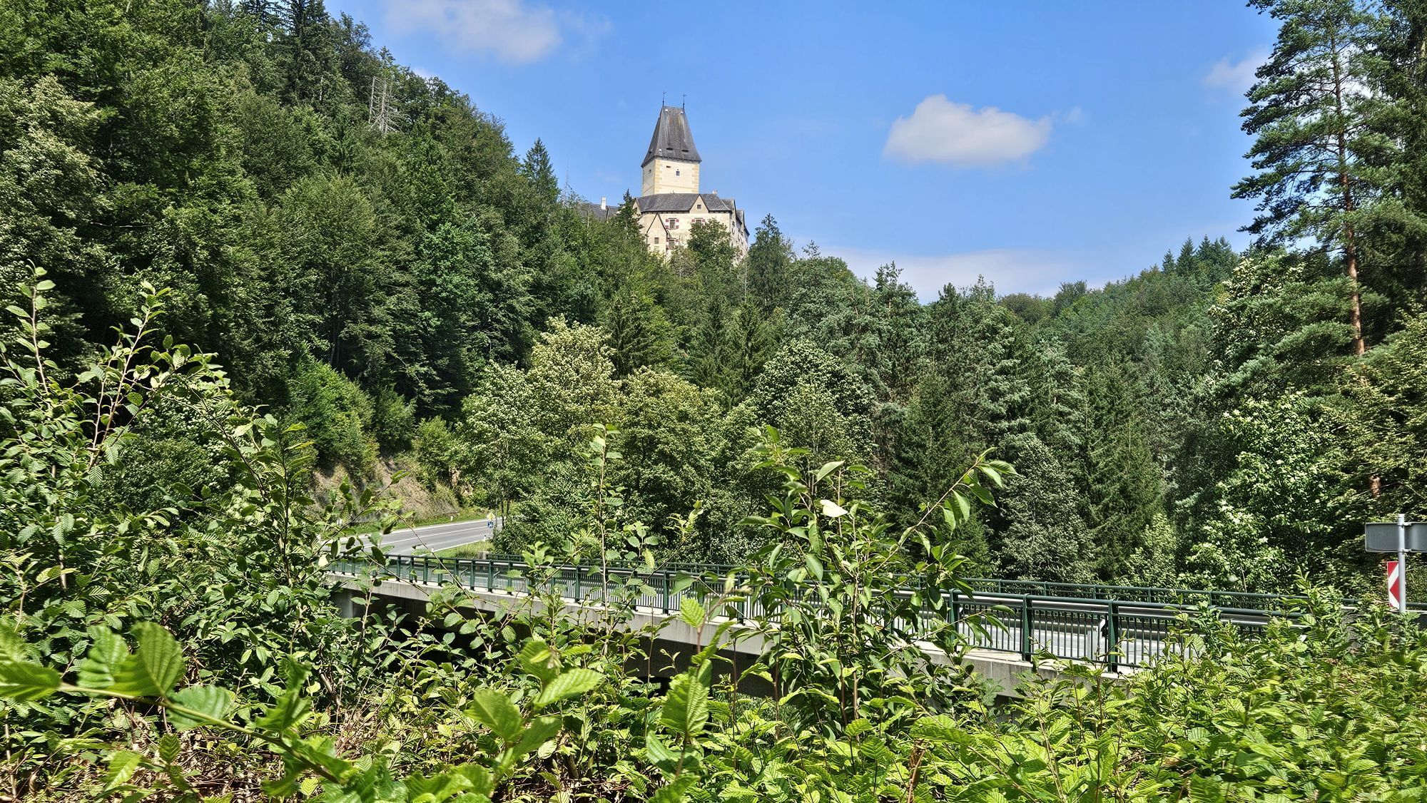
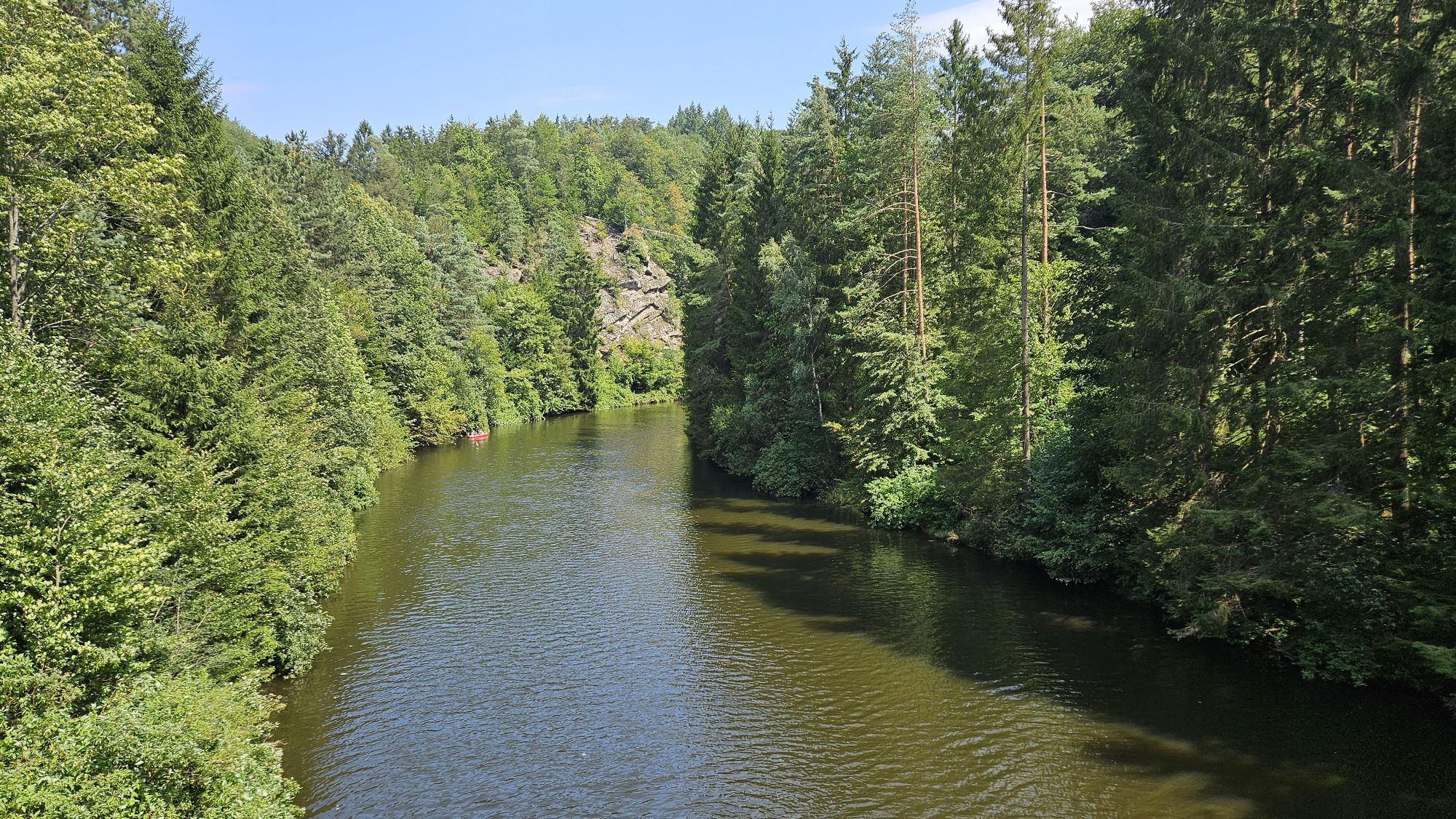
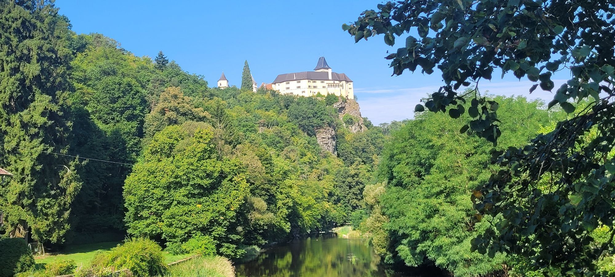
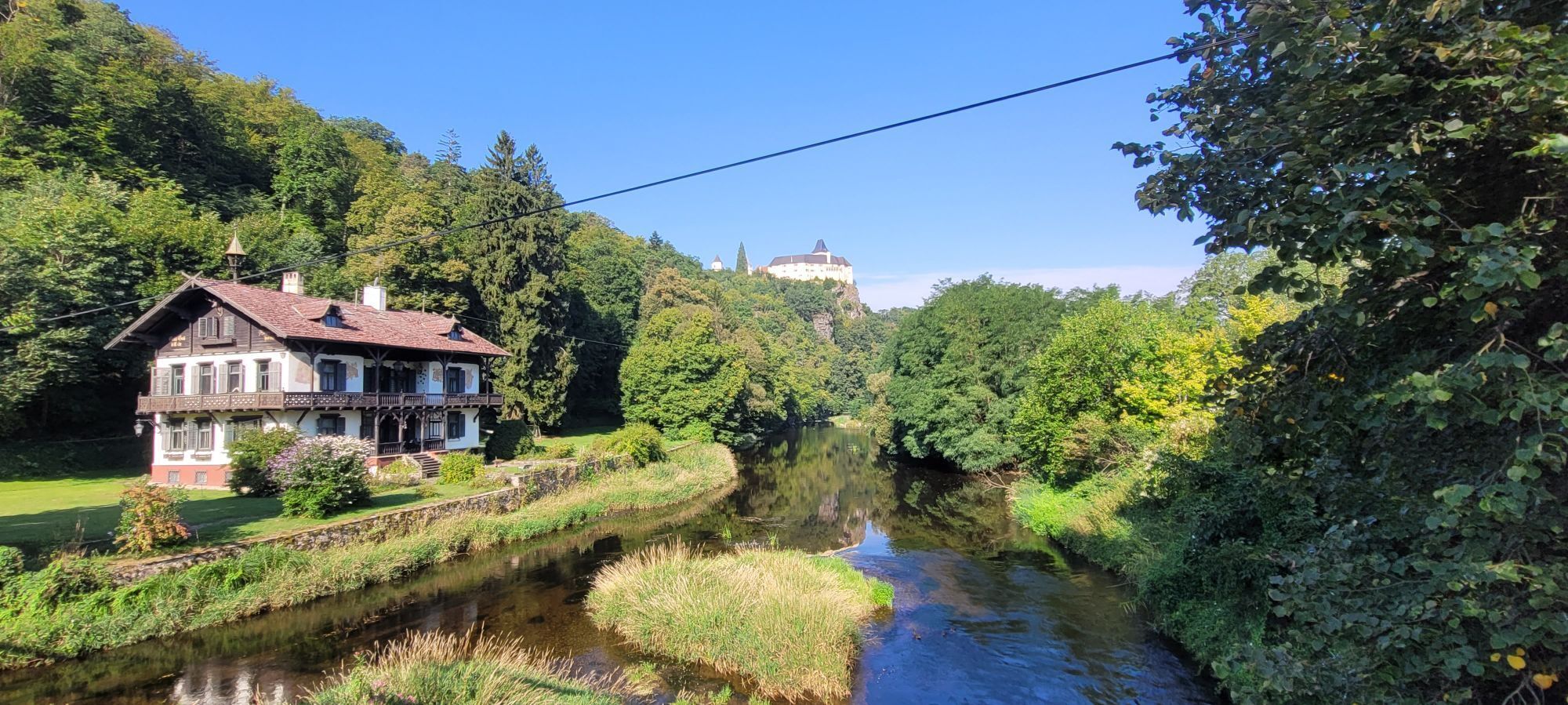
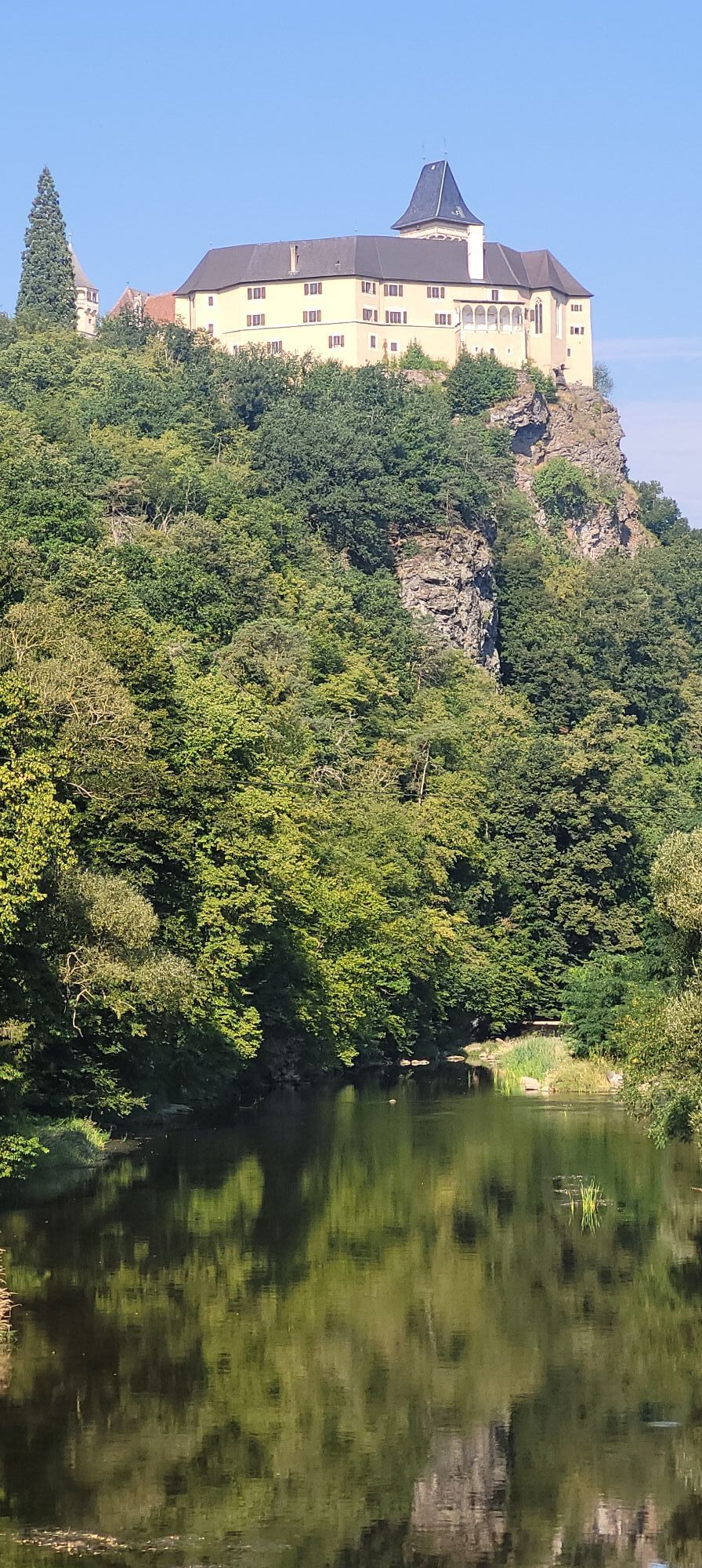
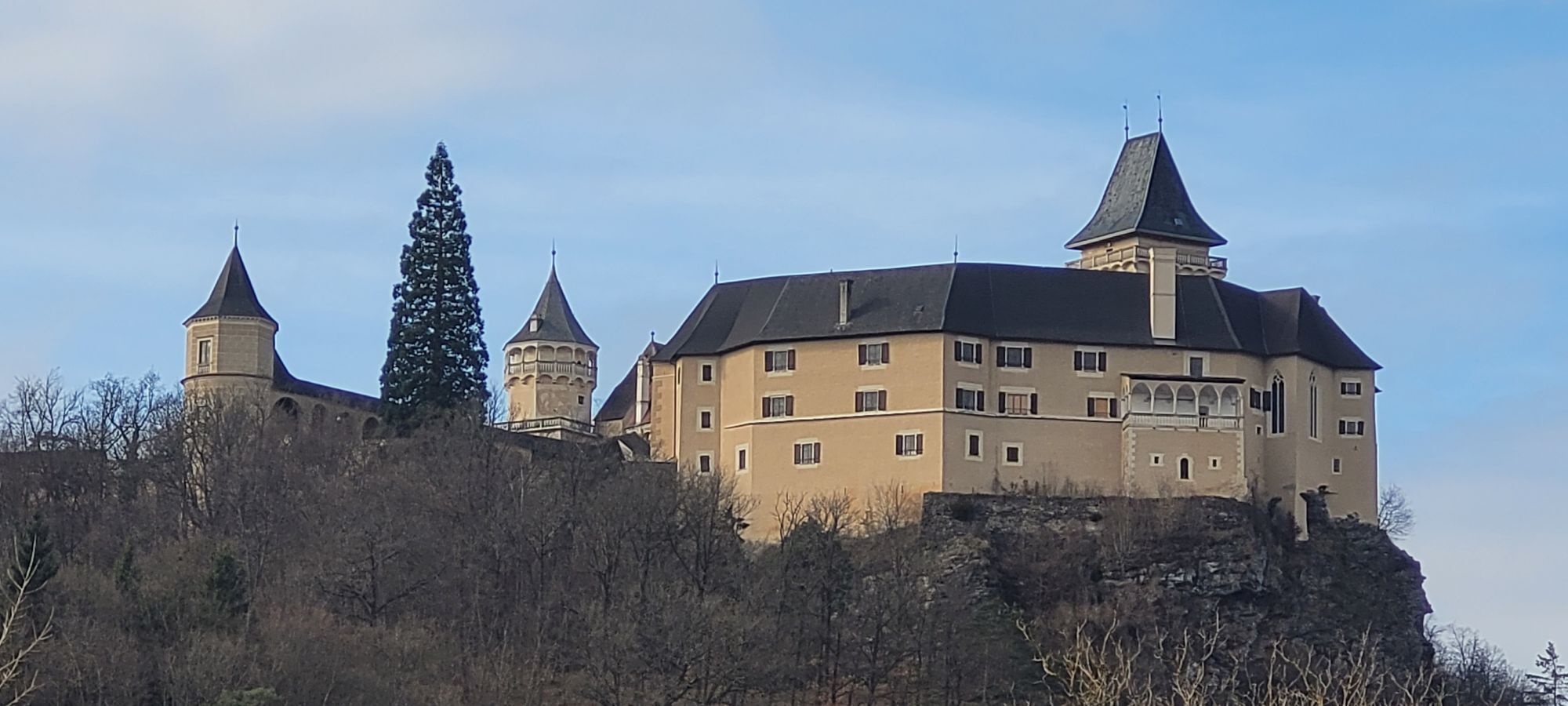
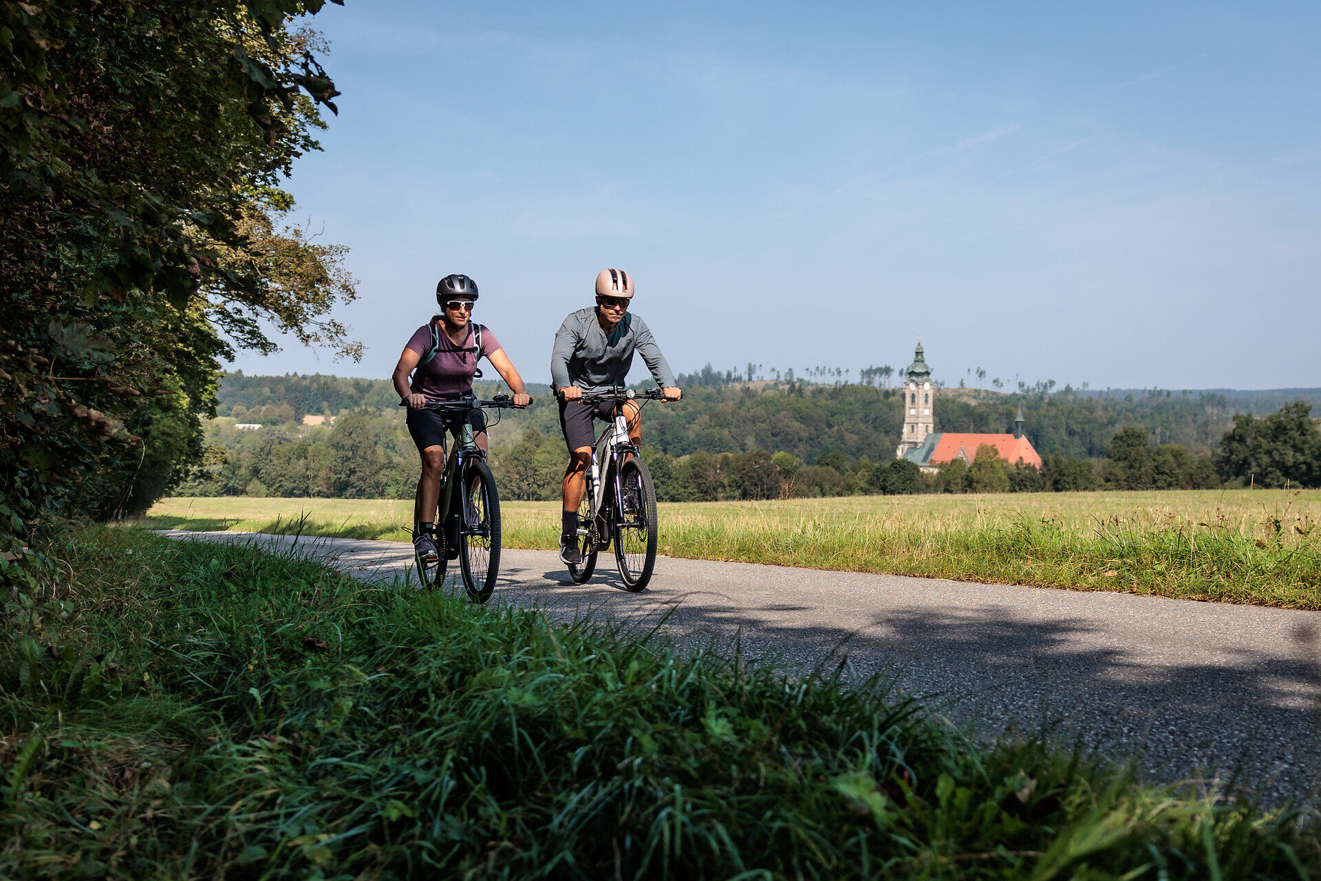
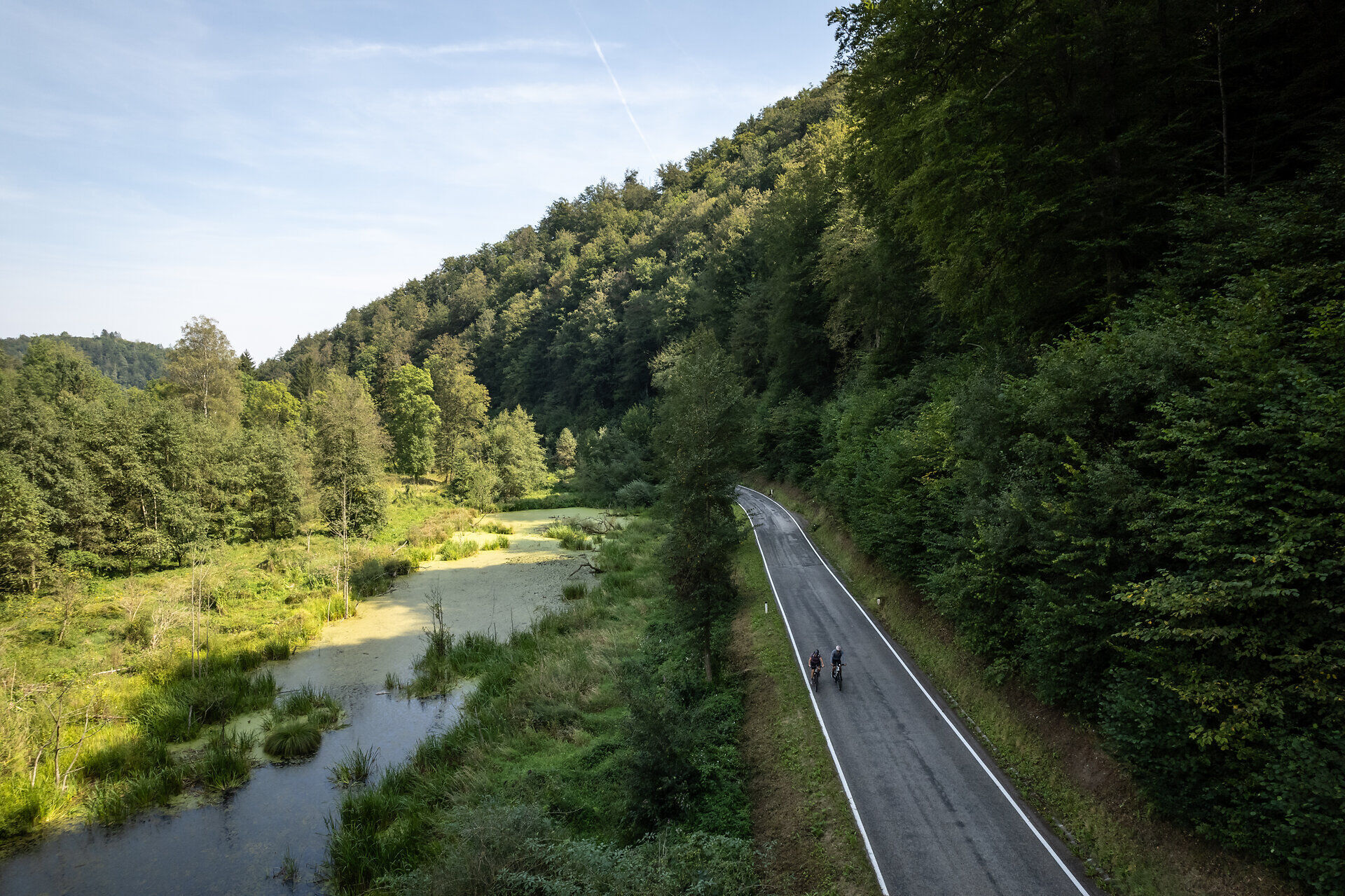
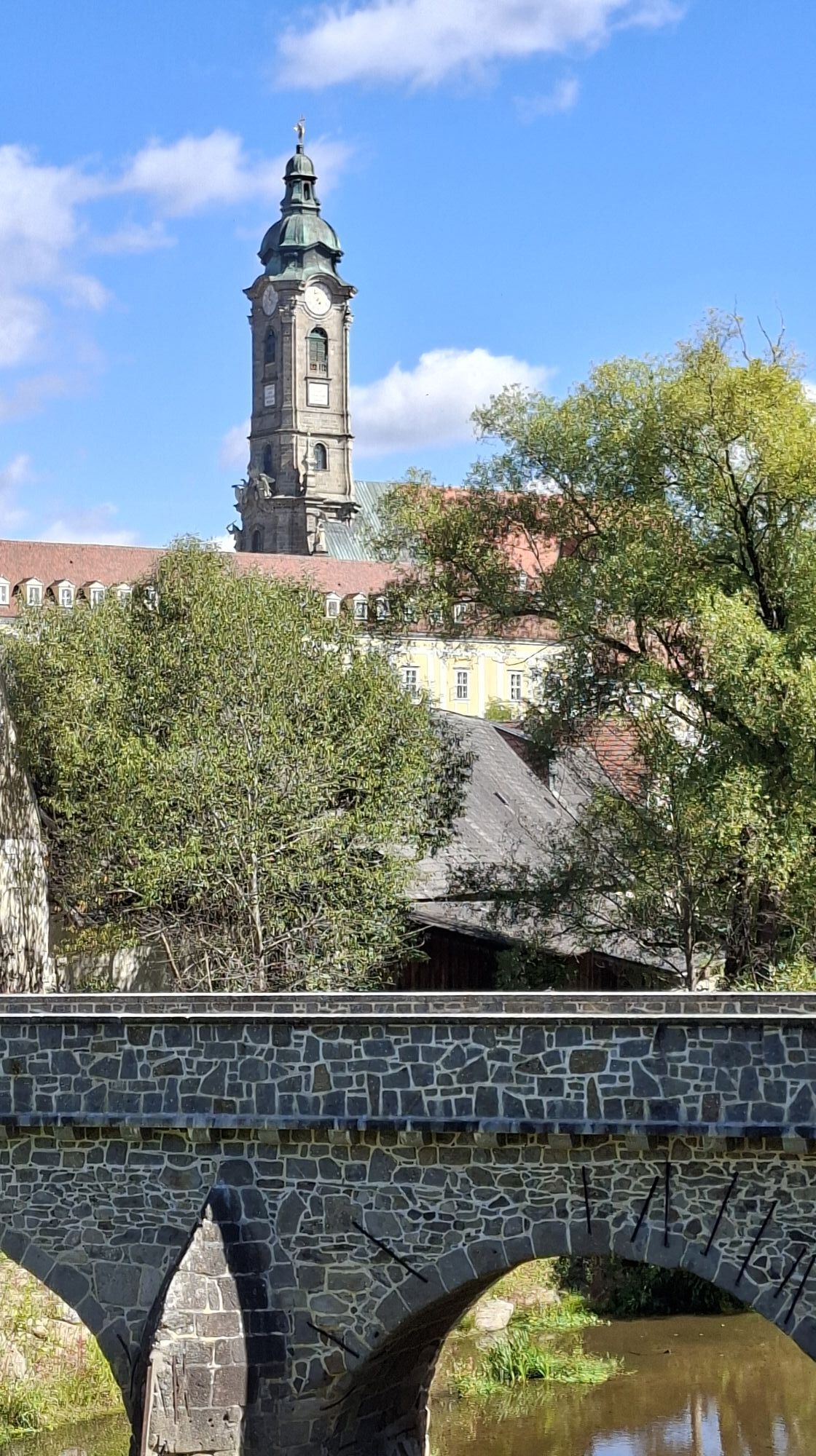
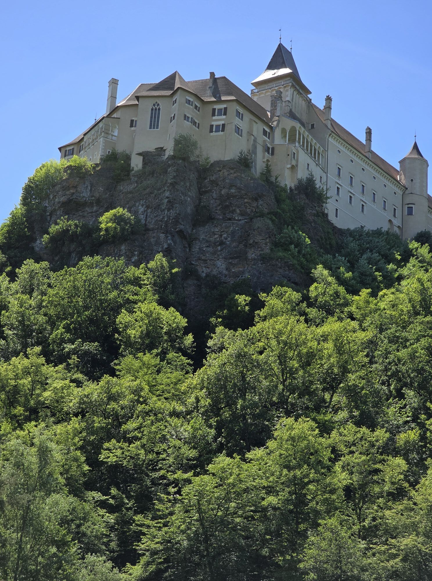
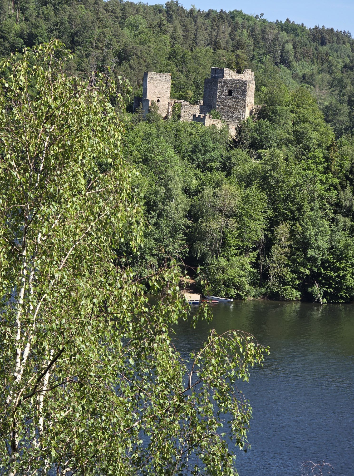
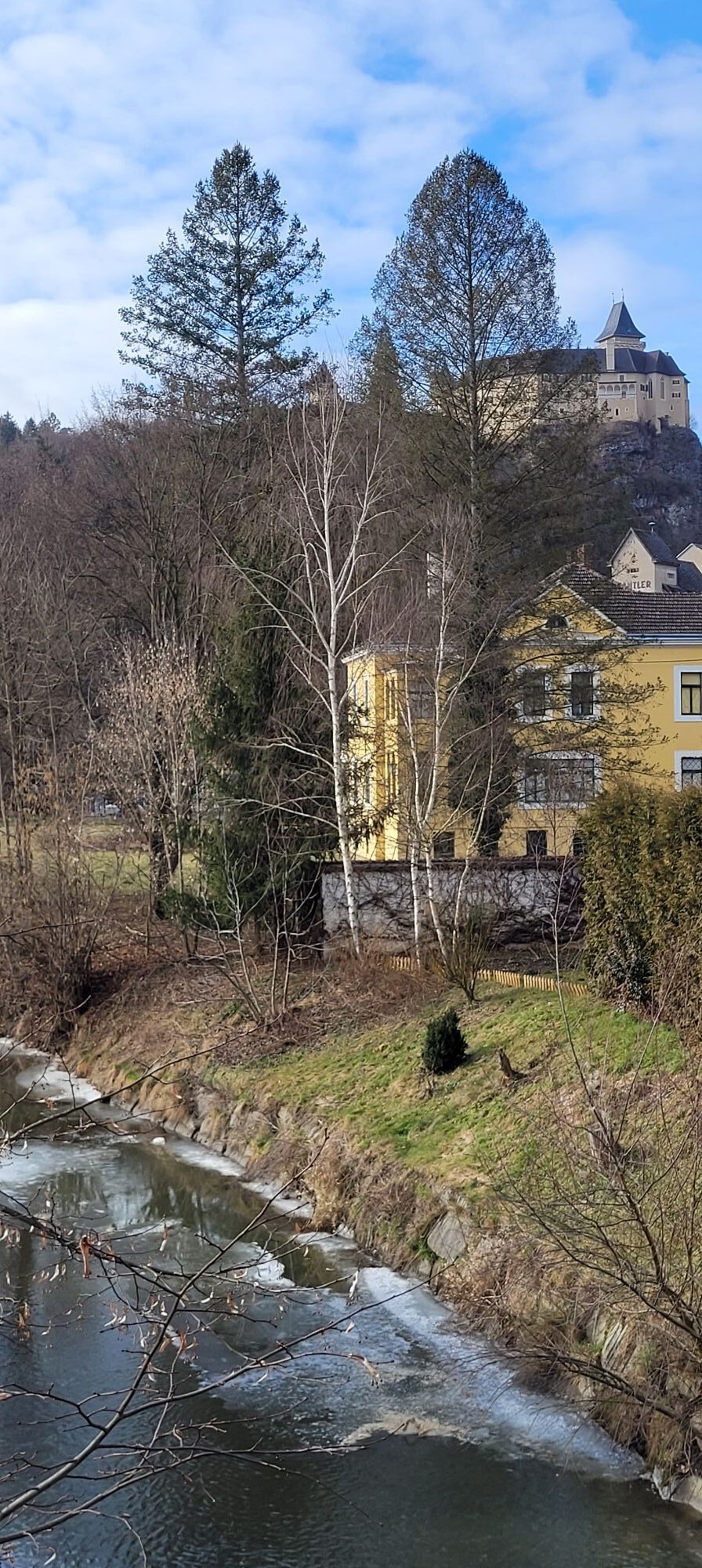
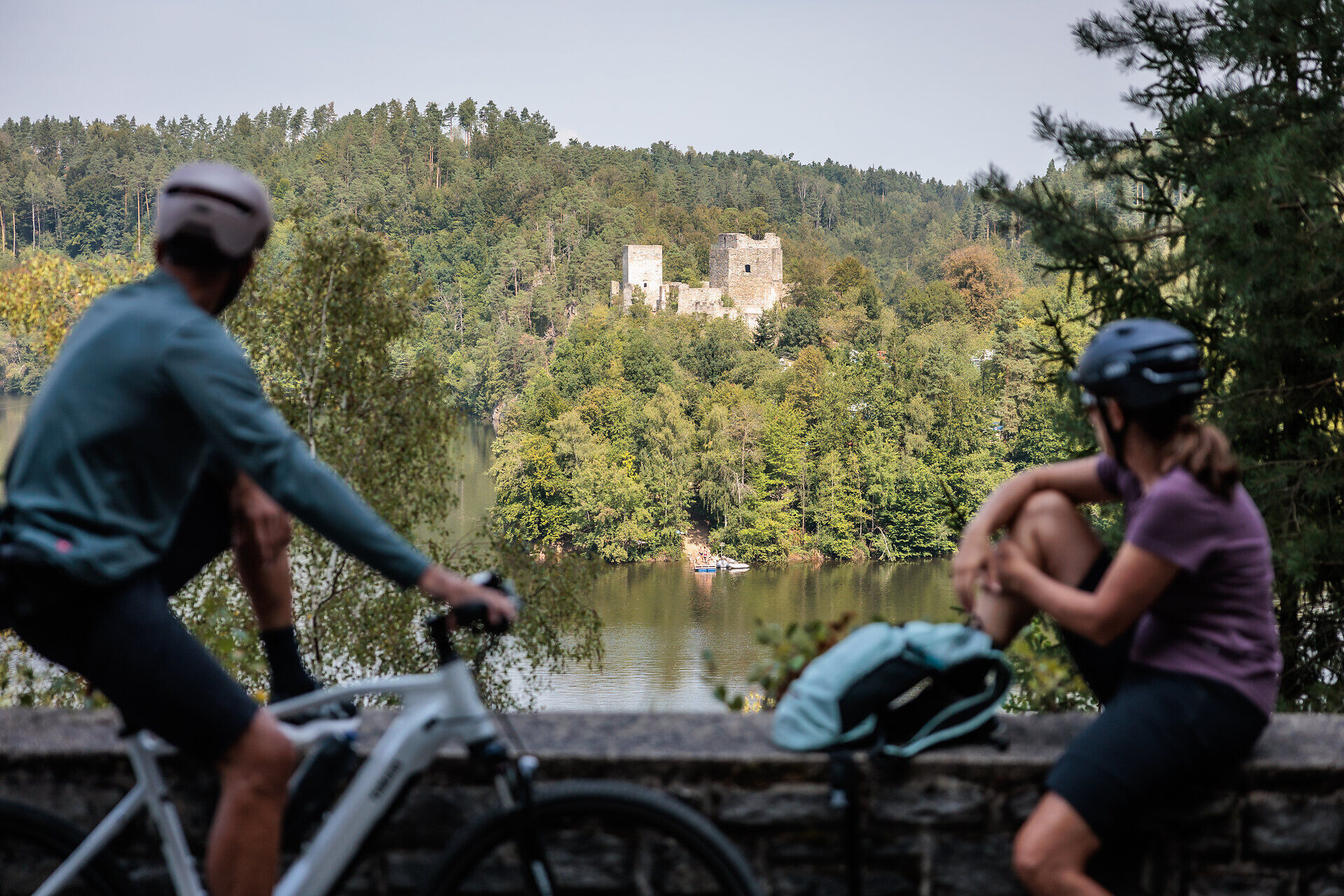
<p>The cycling trip starts in Altenwörth in the Danube valley through the different landscapes of the Kamp valley. In Langenlois, you enter Austria's largest wine town. And not only that: here, wine becomes an experience, gardens a spectacle, and modern architecture a delight. Along the Kamp, the cycle path continues around Rosenburg Castle, which majestically overlooks the Kamp valley and is one of Lower Austria's most beautiful excursion destinations. The Dobra and Ottenstein reservoirs enchant with northern atmosphere and recall the fjords of Norway. The route continues to Zwettl Abbey, the third oldest Cistercian monastery in the world. For over 875 years, monks here have lived according to the rules of Saint Benedict. At the destination Zwettl, surrounded by 917 meters of historic walls, you enjoy the result of 300 years of brewing expertise. The Kamp river landscape is a constant companion along the entire route.</p><p><strong>Between Gars am Kamp and Rosenburg there are closures due to hazards - follow the local detour!</strong></p>

Trasa
Kapelle zum Heiligen Josef
(187 m)
Místo konání bohoslužeb
4.5 km
Elisabethkirche
(218 m)
Místo konání bohoslužeb
27.3 km
Pfarrkirche hl. Johannes der Täufer
(238 m)
Místo konání bohoslužeb
36.9 km
Wegkapelle Hl. Rochus
(462 m)
Místo konání bohoslužeb
63.1 km
Kath. Pfarrkirche hl. Margarethe
(369 m)
Místo konání bohoslužeb
81.3 km
Pfarrkirche Mariä Himmelfahrt
(579 m)
Místo konání bohoslužeb
97.7 km
Johannes von Nepomuk Kapelle
(503 m)
Místo konání bohoslužeb
115.2 km
Trasa
Mapa
Kamp Valley Cycle Path
světlo
Jízda na kole
118.20 km
Altenwörth
(185 m)
Vesnice
0.7 km
Kapelle zum Heiligen Sebastian
(187 m)
Místo konání bohoslužeb
3.6 km
Kollersdorf
(187 m)
Vesnice
3.7 km
Sachsendorf
(188 m)
Vesnice
4.0 km
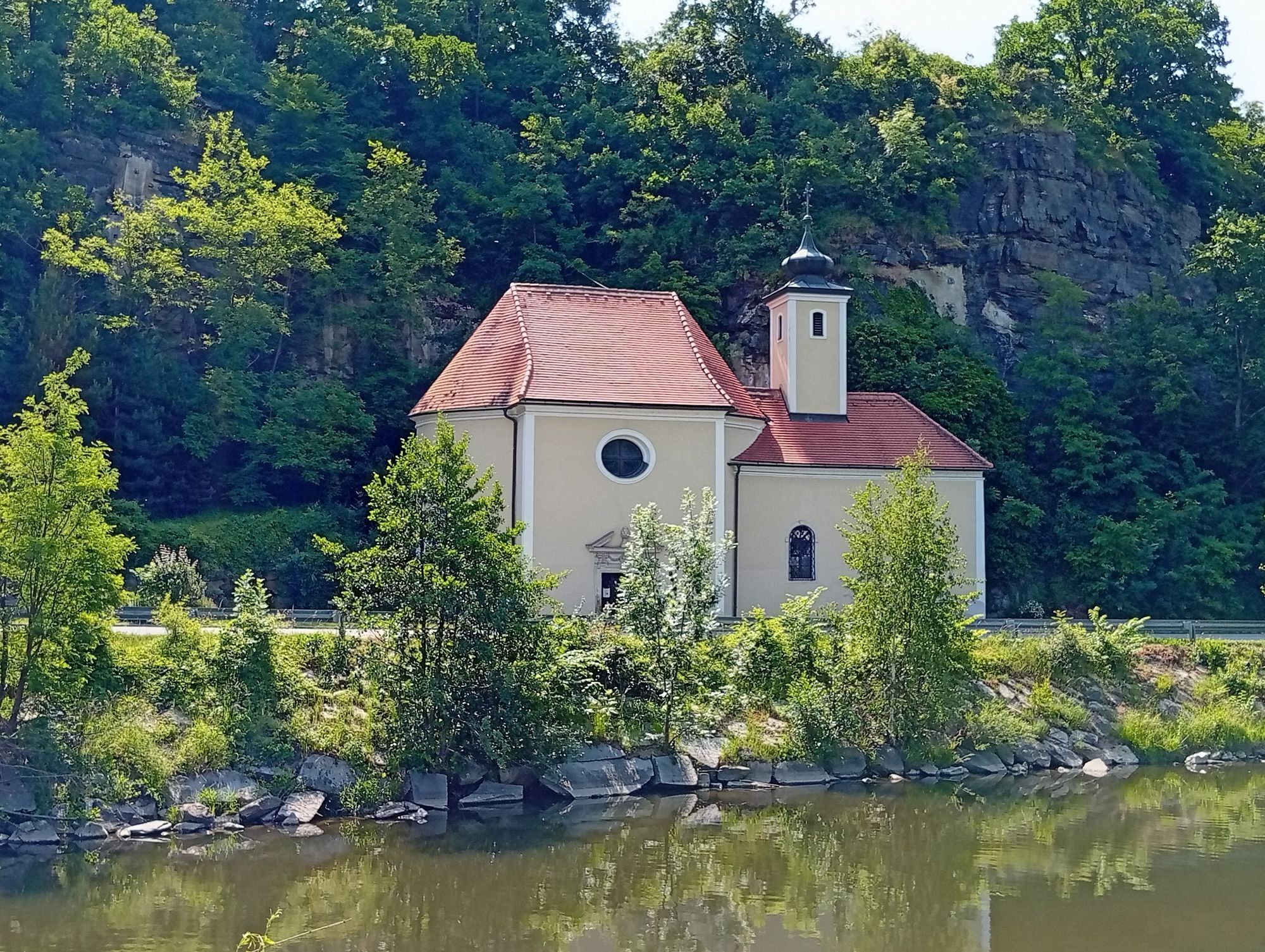
Kapelle zum Heiligen Josef
(187 m)
Místo konání bohoslužeb
4.5 km
Heuriger Gmeiner
(187 m)
Restaurace
6.6 km
Seebarn am Wagram
(187 m)
Vesnice
6.7 km
Kapelle Oberseebarn
(189 m)
Místo konání bohoslužeb
7.0 km
Sankt Johann
(188 m)
Vesnice
8.5 km
Ortskapelle Sankt Johann
(188 m)
Místo konání bohoslužeb
8.6 km
Pfarrkirche hl. Andreas
(191 m)
Místo konání bohoslužeb
10.8 km
Grafenwörth
(191 m)
Vesnice
11.0 km
Heuriger Ott
(191 m)
Restaurace
11.1 km
Café Restaurant Forum Grafenwörth
(191 m)
Restaurace
11.3 km
Jettsdorf
(192 m)
Vesnice
13.7 km
Kurhof
(190 m)
Vypořádání
15.0 km
Kamp
(194 m)
Vesnice
15.9 km
Haitzendorf
(194 m)
Vesnice
16.6 km
Gasthof Haag
(194 m)
Restaurace
16.7 km
Sittendorf
(196 m)
Vesnice
17.9 km
Diendorf am Kamp
(198 m)
Vesnice
19.6 km
Walkersdorf am Kamp
(198 m)
Vesnice
19.7 km
Hadersdorf am Kamp
(202 m)
Vesnice
21.2 km
Pfarrkirche hll. Peter und Paul
(202 m)
Místo konání bohoslužeb
21.4 km
Gobelsburg
(207 m)
Vesnice
24.2 km
Weinhof Kreitner-Sax
(206 m)
Restaurace
24.2 km
Haindorfer Kapelle
(209 m)
Místo konání bohoslužeb
26.0 km
Haindorf
(210 m)
Sousedství
26.1 km
Langenlois
(219 m)
Město
27.2 km
Elisabethkirche
(218 m)
Místo konání bohoslužeb
27.3 km
Zöbing
(210 m)
Vesnice
30.1 km
Heiligensteinerhof
(211 m)
Restaurace
30.2 km
Gutmann
(218 m)
Restaurace
30.7 km
Schönberg-Neustift
(239 m)
Vesnice
31.6 km
Mantlermühle
(215 m)
Úhel pohledu
33.8 km
Gasthof zur Schonenburg
(224 m)
Restaurace
33.9 km
Schönberg am Kamp
(221 m)
Vesnice
34.0 km
Badbuffet
(221 m)
Restaurace
34.3 km
Heuriger Staritzbichler-Deibler
(222 m)
Restaurace
36.8 km
Pfarrkirche hl. Johannes der Täufer
(238 m)
Místo konání bohoslužeb
36.9 km
Stiefern
(237 m)
Vesnice
36.9 km
Altenhof
(246 m)
Vesnice
38.3 km
Plank am Kamp
(244 m)
Vesnice
41.1 km
Oberplank
(245 m)
Vypořádání
42.1 km
Thunau am Kamp
(254 m)
Vesnice
47.0 km
Gars am Kamp
(249 m)
Město
47.7 km
"Platzlwirt" - Gasthaus Falk
(251 m)
Restaurace
47.8 km
Gars-Thunau
(250 m)
Železniční stanice
48.2 km
Kamegg
(254 m)
Vesnice
50.0 km
Rosenburg am Kamp
(259 m)
Vesnice
52.9 km
Hotel Restaurant Landgasthof Mann
(261 m)
Restaurace
53.0 km
Hofmühle
(266 m)
Vypořádání
53.9 km
Altenburg
(390 m)
Vesnice
58.0 km
Mahrersdorf
(422 m)
Vypořádání
60.8 km
Fuglau
(453 m)
Vesnice
62.7 km
Wegkapelle Hl. Rochus
(462 m)
Místo konání bohoslužeb
63.1 km
Gobelsdorf
(412 m)
Vypořádání
64.4 km
Feinfeld
(421 m)
Vypořádání
65.4 km
Greillenstein
(451 m)
Vypořádání
67.1 km
Röhrenbach
(455 m)
Vesnice
67.7 km
Ramsau
(449 m)
Vypořádání
70.3 km
Altpölla
(451 m)
Vesnice
72.6 km
Gasthof Speneder
(455 m)
Restaurace
72.8 km
Kleinenzersdorf
(463 m)
Vypořádání
74.4 km
Hauleihen Äcker
(514 m)
Koridor/terén
76.6 km
Tiefenbach
(497 m)
Vypořádání
77.1 km
Mayrhofern
(523 m)
Koridor/terén
78.5 km
Kapellenleithen
(441 m)
Koridor/terén
80.7 km
Krumau am Kamp
(370 m)
Vesnice
81.3 km
Kath. Pfarrkirche hl. Margarethe
(369 m)
Místo konání bohoslužeb
81.3 km
Heurigen-Gasthof Prinz
(368 m)
Restaurace
81.3 km
Gasthof Kern "Zum braunen Hirschen"
(368 m)
Restaurace
81.5 km
Kamphütten
(395 m)
Koridor/terén
85.9 km
Ristorante Vita
(527 m)
Restaurace
96.3 km
Ortskapelle hl. Anna
(527 m)
Místo konání bohoslužeb
96.4 km
Peygarten-Ottenstein
(528 m)
Vesnice
96.5 km
Pfarrkirche Mariä Himmelfahrt
(579 m)
Místo konání bohoslužeb
97.7 km
Rastenfeld
(575 m)
Vesnice
97.7 km
Treibfeld
(600 m)
Koridor/terén
99.6 km
Rastenberg
(558 m)
Vypořádání
100.1 km
Gasthaus Rucker
(549 m)
Restaurace
100.4 km
Werschenschlag
(567 m)
Vesnice
101.6 km
Hoflißen
(563 m)
Koridor/terén
101.9 km
Niederwaltenreith
(549 m)
Vesnice
102.8 km
Wegrand
(576 m)
Koridor/terén
104.0 km
Wolfsberg
(563 m)
Vesnice
104.2 km
Pfarrkirche hl. Laurentius
(560 m)
Místo konání bohoslužeb
106.7 km
Faulenzerhotel
(536 m)
Restaurace
107.2 km
Jagastubn
(541 m)
Restaurace
107.5 km
Friedersbach
(538 m)
Vesnice
107.6 km
Gasthof Hanni
(560 m)
Restaurace
110.0 km
Mitterreith
(547 m)
Vesnice
110.3 km
Edelhof
(594 m)
Vypořádání
113.1 km
Sauberg
(549 m)
Koridor/terén
114.3 km
Johannes von Nepomuk Kapelle
(503 m)
Místo konání bohoslužeb
115.2 km
Zwettl Stift
(516 m)
Vesnice
115.4 km
Stiftstaverne
(520 m)
Restaurace
115.5 km
Bozener Siedlung
(520 m)
Vypořádání
117.1 km
Kampsiedlung
(509 m)
Vypořádání
117.2 km
Zwettl
(525 m)
Město
118.2 km
Informace o prohlídce

<p>Scandinavian flair in the middle, Mediterranean in the lower course of the Kamp: Scenic diversity and cultural venues make this cycling route a special experience.</p>

Technologie
n.a.
Stav
1 / 6
Krajina
1 / 6
Zkušenosti
n.a.
Nejlepší roční období
Led
Úno
Bře
Dub
Kvě
Čen
Čec
Srp
Zář
Říj
Lis
Pro
Autor
Poskytuje noe-tourismus
Vytvořeno dne 03. Dezember 2025
1322 Hovory
Logo
Sdílet prohlídku
Mapa
Kamp Valley Cycle Path
světlo
Jízda na kole
118.20 km
Chyba
Došlo k chybě. Zkuste to prosím znovu.
Informace o trase
Trasa

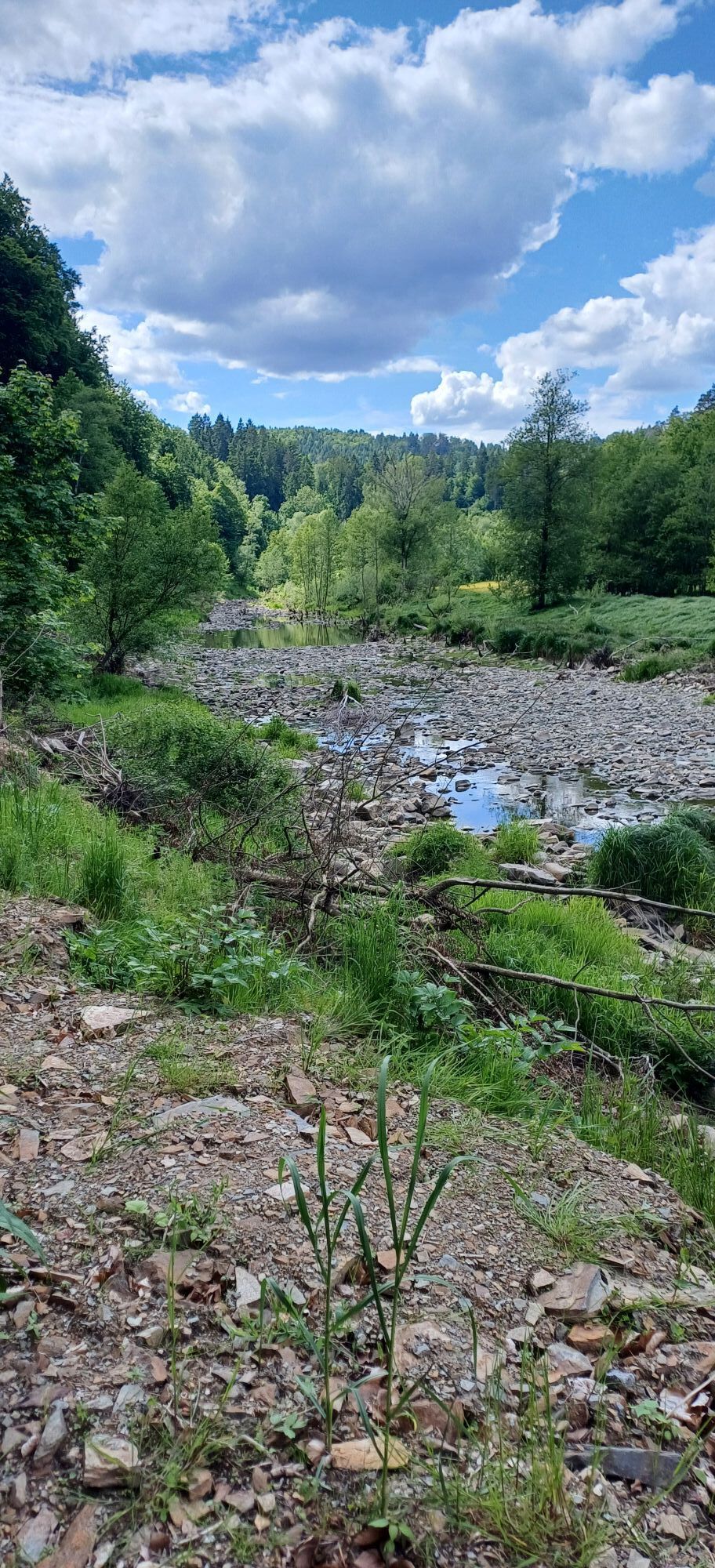
<p>The starting point for this landscape-rich cycling route is the town of Altenwörth. Over a distance of <strong>118 cycling kilometers</strong>, the route passes through a total of 35 towns in the Kamp valley. Flat alluvial land in the Danube floodplains is replaced by vineyard-covered slopes of the Wagram. The southern flair in the renowned <strong>wine town of Langenlois</strong> invites you to relax with pleasure. At the spectacular Dobra and Ottenstein reservoirs, you feel reminded of the fjords of Norway. The Zwettl Abbey, built in a meander of the Kamp, has existed since 1138. In the monastery and the Baroque abbey church, you get a deep look into the history of Christianity. Surrounded by historic city walls, the brewing town of Zwettl marks the end of the cycle route.</p><p><strong>WARNING: There are bumps in the asphalt area near Buchberg. Between Gars am Kamp and Rosenburg, closures occur due to hazards - follow the local detour!</strong></p>
Vybavení

<p>We recommend: helmet, suitable clothing and footwear, rain and sun protection, first aid kit (blister plasters), sufficient provisions (snacks, muesli bars, fruit, water).</p>

Bezpečnostní pokyny

<p>Make sure your chosen route matches your fitness level. Check whether the restaurants you plan to visit along the way are open. Pack your mobile phone and maps in your backpack.</p><p><strong>Between Gars am Kamp and Rosenburg there are closures due to hazards - follow the local detour!</strong></p>

Informace o příjezdu
Příjezd

<p><strong>Altenwörth</strong> Vienna - Stockerau - S5 - Königsbrunn am Wagram exit - Winkel - Altenwörth<br />Linz - A1 - St. Pölten - S33 Traismauer - S5 Grafenwörth - Fels am Wagram exit - Altenwörth
</p><p><strong>Zwettl</strong><br />Vienna - Stockerau - Krems - Zwettl<br />Linz - Freistadt - Groß Gerungs - Zwettl</p>

Další informace a tipy
Další informace

Waldviertel Tourism
3910 Zwettl, Sparkassenplatz 1/2/2
(T) +43 2822 54109
(E) info@waldviertel.at 
(I) www.waldviertel.at

Tipy

Nostalgic bathing vibes can be found at the Plank am Kamp lido.

Zatím žádné recenze
Napište recenzi

Recenze pomáhají ostatním uživatelům při výběru dalšího dobrodružství. Hodnoťte prosím pouze prohlídku, nikoli počasí nebo svačinu.

Výběrem jedné z hvězdiček ohodnotíte prohlídku
Špatné turné
Slabé turné
Průměrné turné
Dobrá prohlídka
Vynikající prohlídka
bergfex logo Získejte přehled Vždy živě na místě s více než 9 500 webkamerami. bergfex Jako uživatel Pro si nyní můžete zobrazit odpovídající webové kamery pro mnoho prohlídek v aplikaci prohlídky z. Můžete si tak přímo prohlédnout aktuální podmínky.
Pěší turistika a stopování

Pěší turistika a stopování

Pěší turistika a stopování
Více než 550.000 návrhů výletů, podrobné mapy a intuitivní plánovač tras dělají z aplikace nezbytnou výbavu pro všechny milovníky přírody.
bergfex