


Traisen-Danube cycle route
In St. Andrä bei Herzogenburg, the Traisental-Danube cycle route branches off from the Traisental cycle path. The route leads via Hameten and Gutenbrunn along the small Baroque road to Sitzenberg-Reidling....
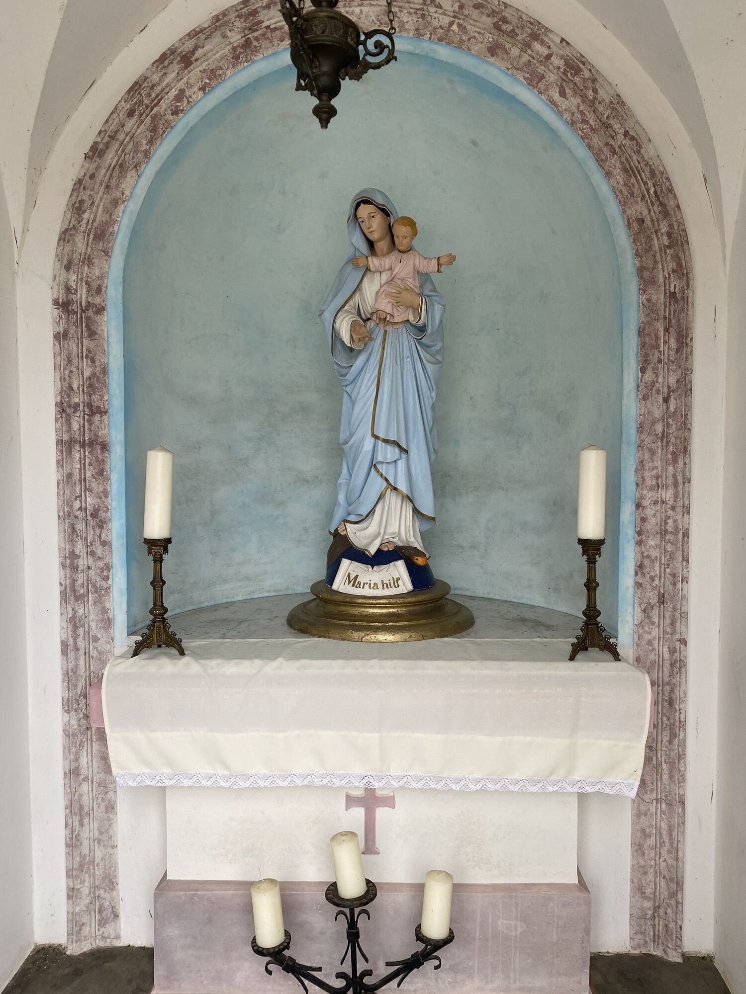
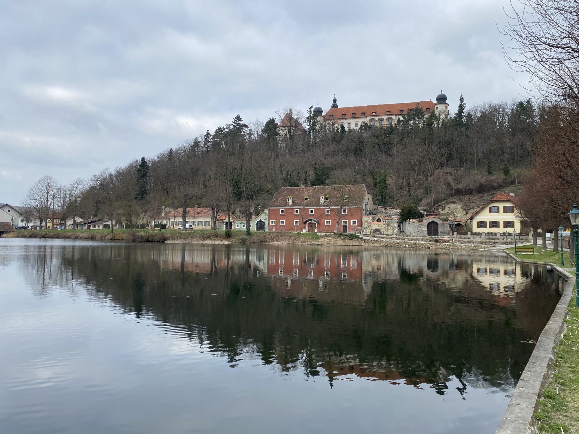
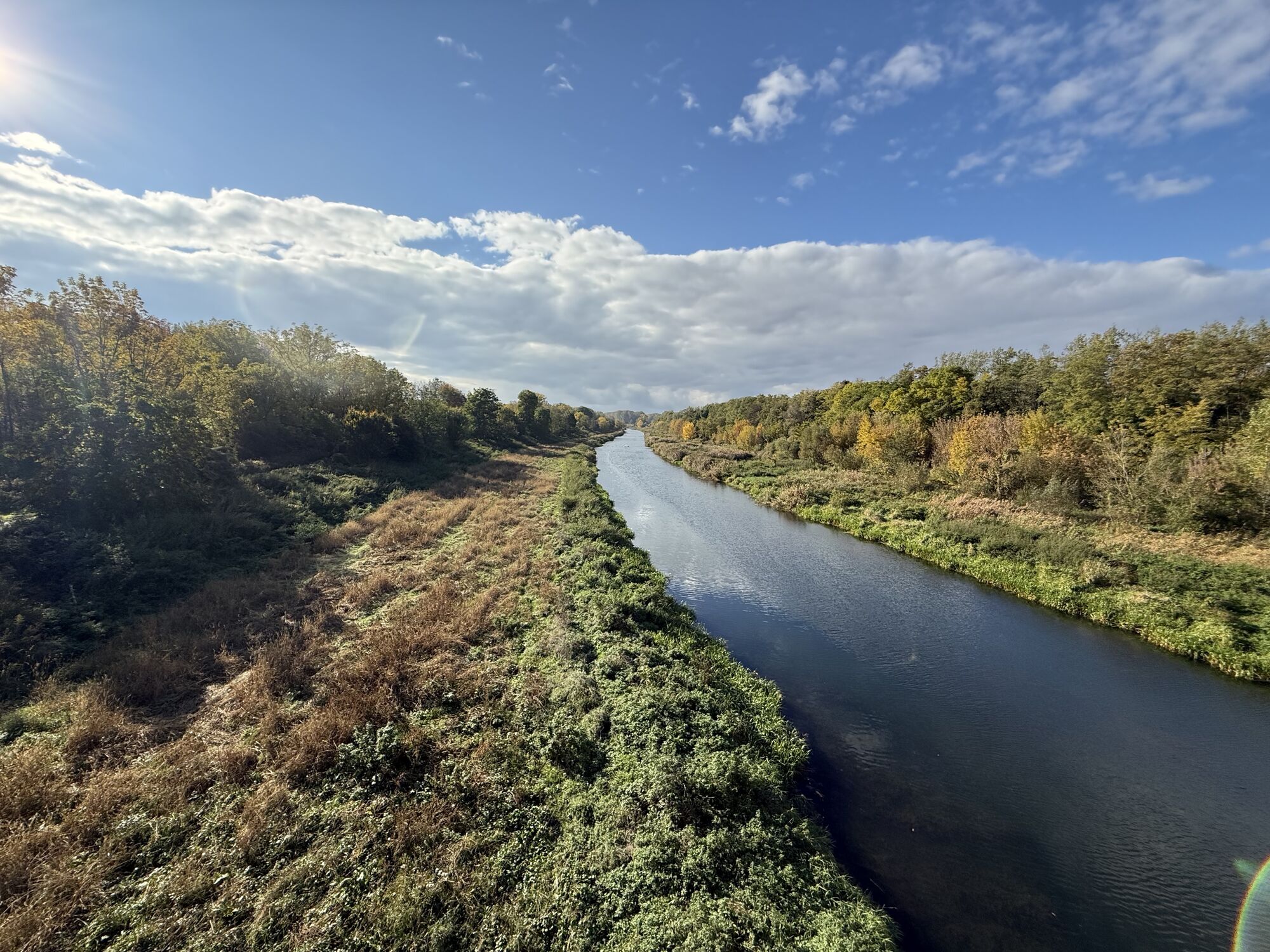
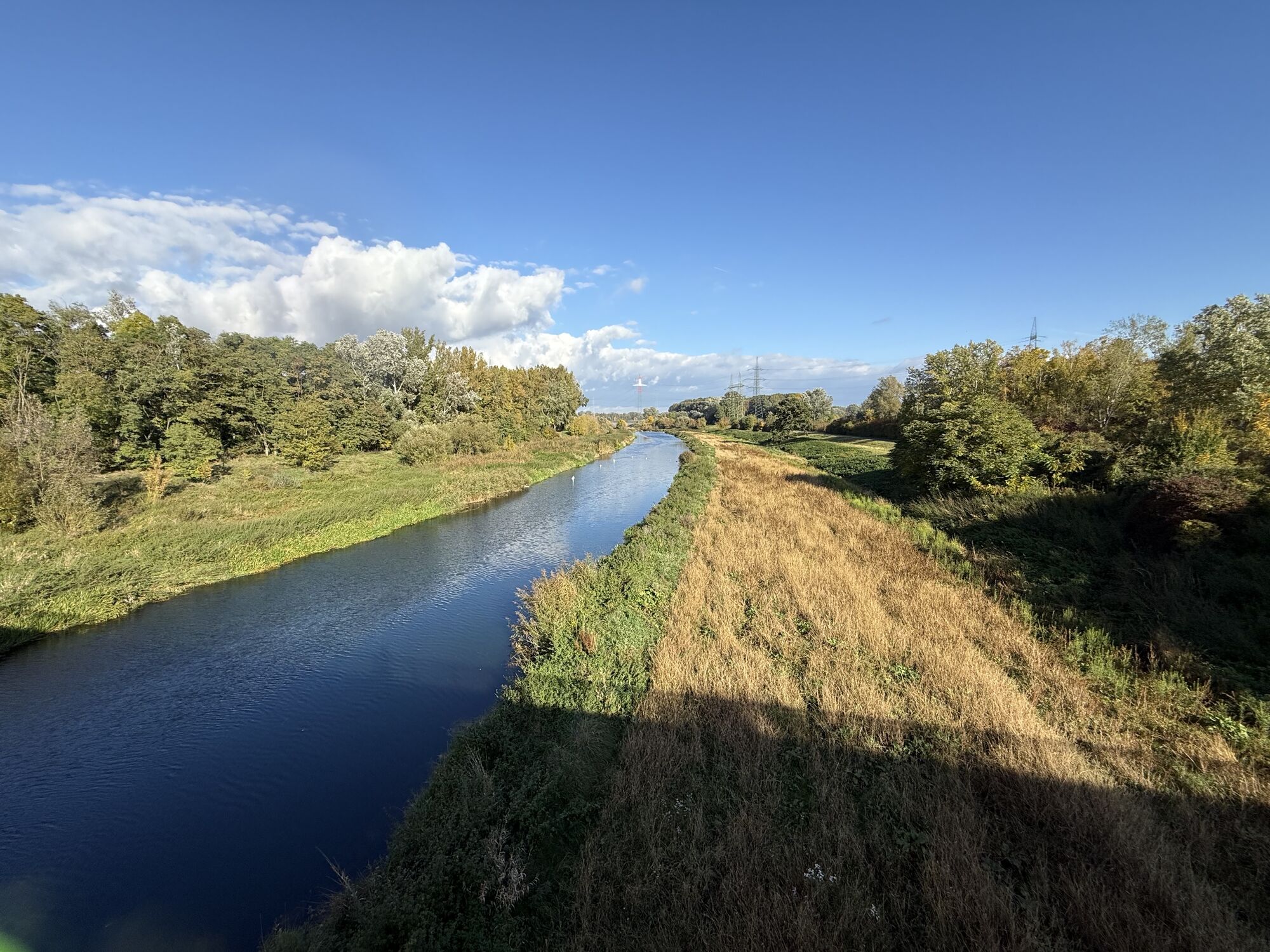
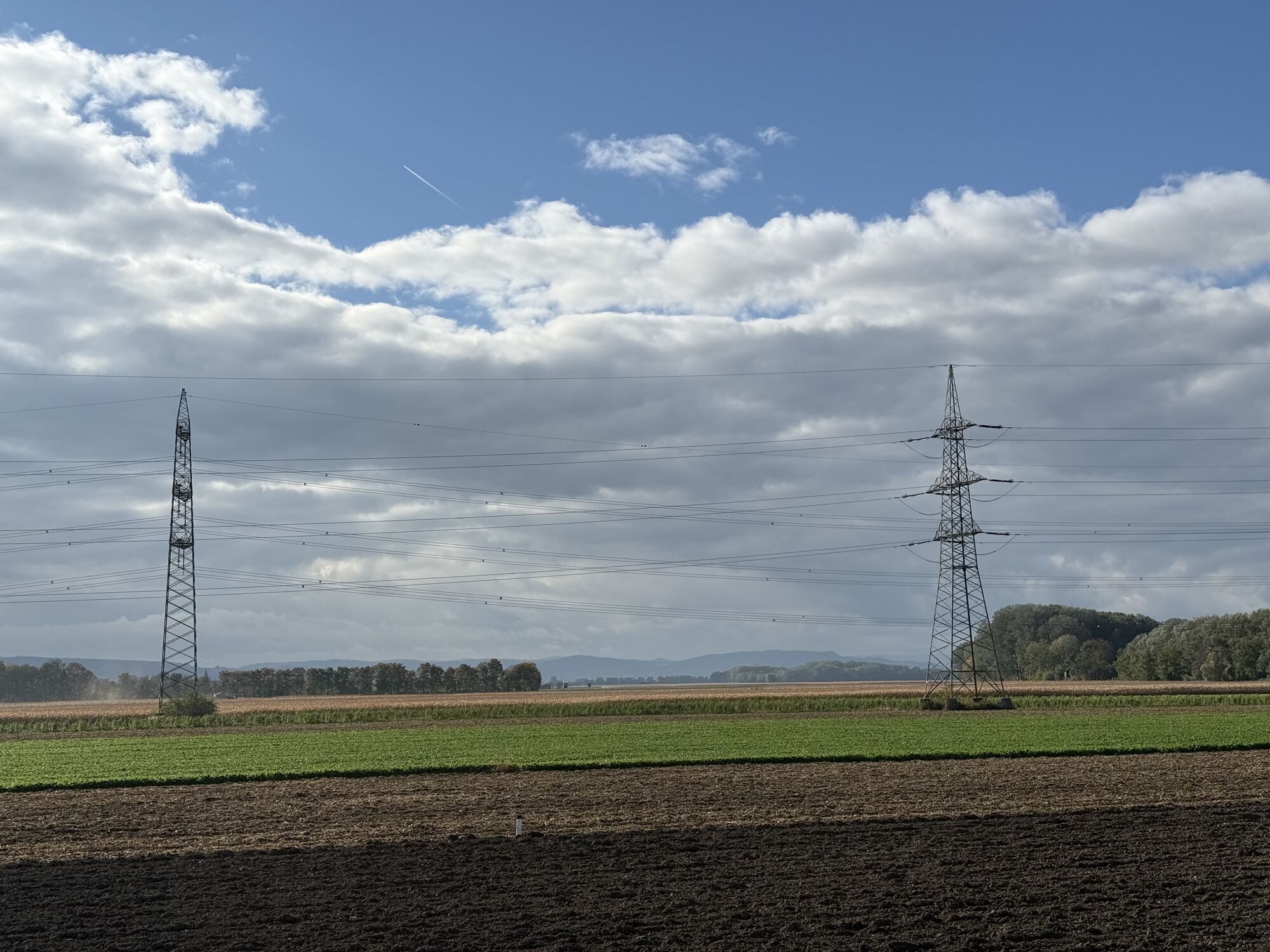
<p>In St. Andrä bei Herzogenburg, the Traisental-Danube cycle route branches off from the Traisental cycle path. The route leads via Hameten and Gutenbrunn along the small Baroque road to Sitzenberg-Reidling. At the entrance to Sitzenberg, you are greeted by Sitzenberg Castle, which is presented on the castle hill. At the end of the chestnut avenue, you can also make a detour along the Tullnerfeld cycle path to the approximately 2 km distant Ahrenberger-Eichberger cellar lane to refresh yourself at a Heuriger. Or you can enjoy a relaxing break with a cooling dip at the picturesque Sitzenberg castle pond.</p><p>The carp educational trail (1.6 km) around the pond and the biodiversity trail (3 km) offer you an informative opportunity to learn about the fauna and flora. At the country inn Schmid "Carp host" you can taste regional fish specialties. Passing Maria Ponsee, the cycle route leads you through the floodplain landscape to Altenwörth, where you directly reach the Danube cycle path.</p>

<p>In St. Andrä bei Herzogenburg, the Traisental-Donau cycle route branches off from the Traisental cycle path. The route leads via Hameten and Gutenbrunn to Sitzenberg-Reidling. Continuing south, you pass the station at the Franz Joseph Railway and cross the B 43 towards Oberbierbaum. Passing Maria Ponsee, the cycle route takes you through the floodplain landscape to Altenwörth, where you directly reach the Danube cycle path.</p><p>If you ride this westwards, towards Traismauer, you return to your starting point in St. Andrä via the Traisental cycle path. The entire loop is approximately 40 km long.</p><p>In Sitzenberg-Reidling, the Traisen-Danube cycle route also intersects the Tullnerfeld cycle path, which you can follow eastwards via Atzenbrugg to Tulln.</p>
<p>Touring bike, mountain bike, or city bike are recommended.</p>
<p>West Autobahn (A1) - expressway S33, exit Herzogenburg-Nord, then drive towards the city center, take the last exit at the roundabout to Herzogenburg Abbey. There are sufficient parking spaces here.</p><p>Park your car, follow the signs to the Traisental cycle path and cycle about 1.5 km northwards towards Traismauer. In St. Andrä, switch to the Traisen-Danube cycle route.</p><p>Alternatively, you can also drive directly to St. Andrä and park there.</p>
<p>Train connection St. Pölten - Traismauer (- Vienna):</p><p>All trains (S-Bahn units) running from St. Pölten via Herzogenburg, Traismauer and Tulln to Vienna Franz Joseph Station have 10 bicycle spaces. <a href="www.oebb.at">www.oebb.at</...
<p>At the large parking lot of Herzogenburg Abbey or directly in St. Andrä.</p>
In connection with the Danube cycle path and the Traisental cycle path, a worthwhile cycling loop of around 40 kilometers results.
Those who prefer a shorter loop switch in Sitzenberg-Reidling to the Tullnerfeld cycle path (heading west) and take the loop via Traismauer and the Traisental cycle path (about 24 km).
Oblíbené prohlídky v okolí
- 4,4
Wachauer Marillenerlebnisweg, Krems-Angern
světloTuristika 6,04 km - 4,4
Mammutbäume, Waxenberg und Göttweig
středníTuristika 12,1 km - 3,9
Über den Göttweiger Walderlebnisweg zu den Mammutbäumen
světloTuristika 3,77 km - 4,8
Übers "Loamstückl" zur Wetterkreuzkirche
světloTuristika 6,83 km - 4,8
Vinum Circa Montem - Rund um den Göttweiger Berg
středníJízda na kole 19,4 km - 4,9
Traisental MTB Potpourri
středníMountainbike 27,9 km - 4,3
Umrundung Seebodenberg
světloTuristika 4,48 km - 4,5
Wein - Schloss - Marille - Stiftblick
světloTuristika 5,26 km - 4,2
Über Sitzenberg-Reidling: Seelacke-Korkenzieher-Weinberge
středníTuristika 11,1 km - 4,3
Wagramer Genussmix
světloTuristika 10,1 km

Pěší turistika a stopování


Nenechte si ujít nabídky a inspiraci pro vaši příští dovolenou
Vaše e-mailová adresa byl přidán do poštovního seznamu.