







Hundsheimer Berge Tour: Hundsheim Variant
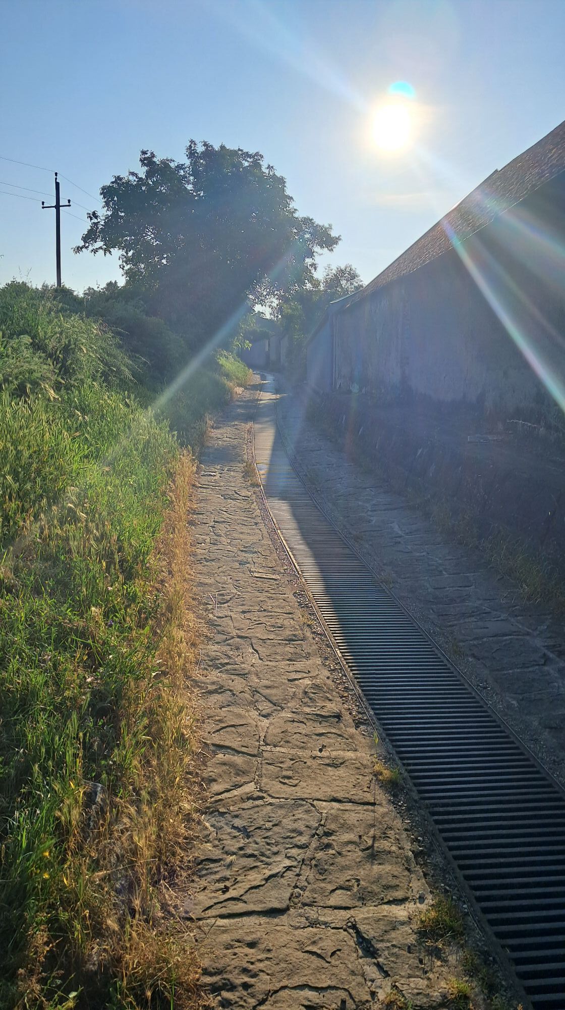
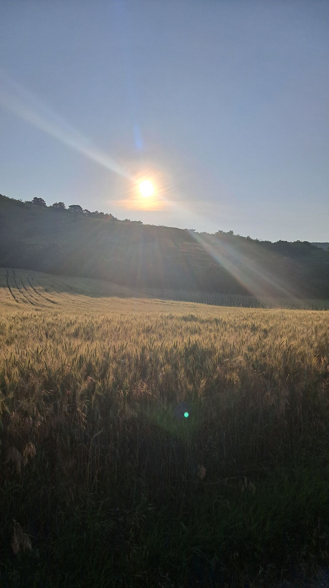

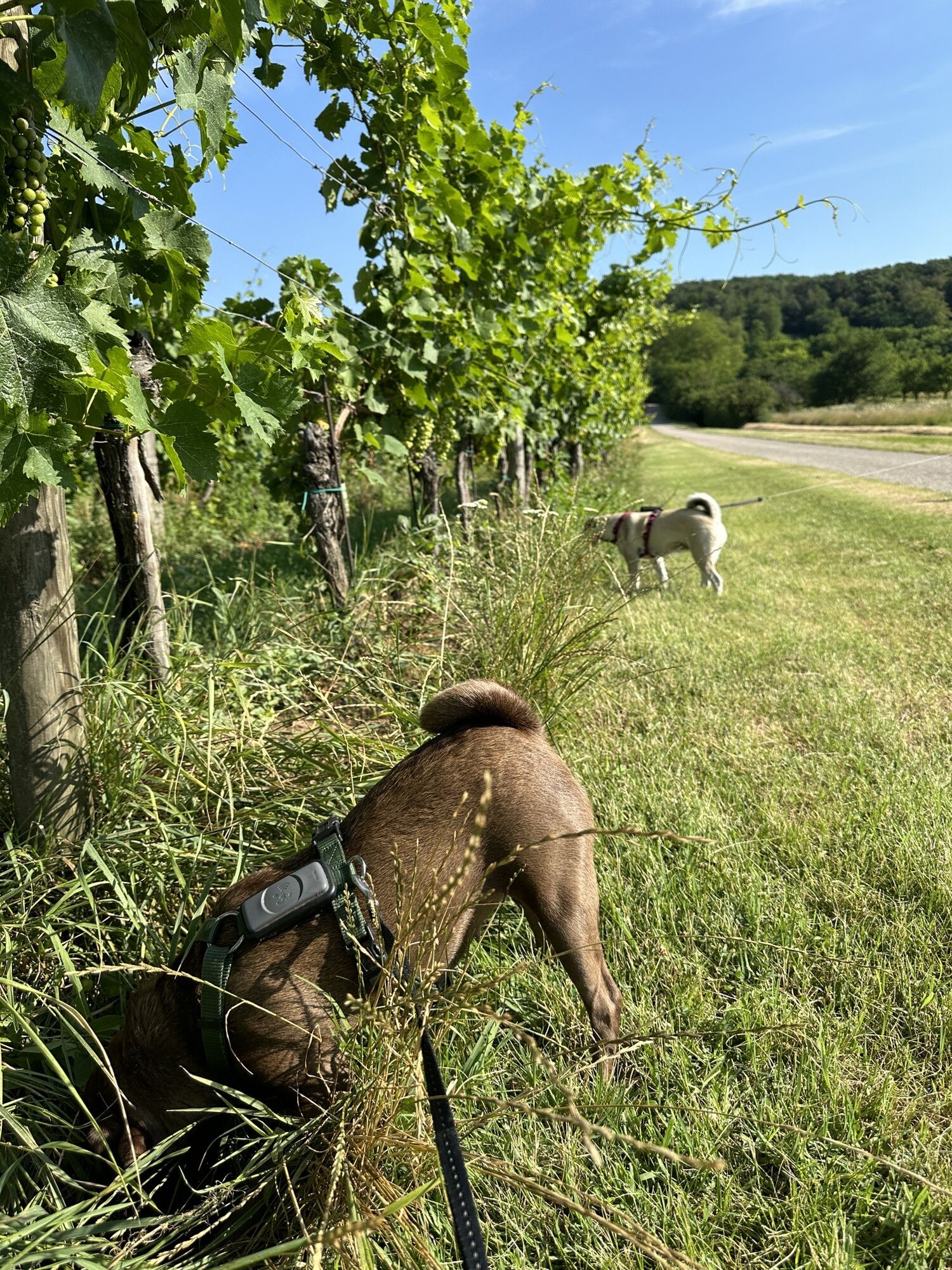
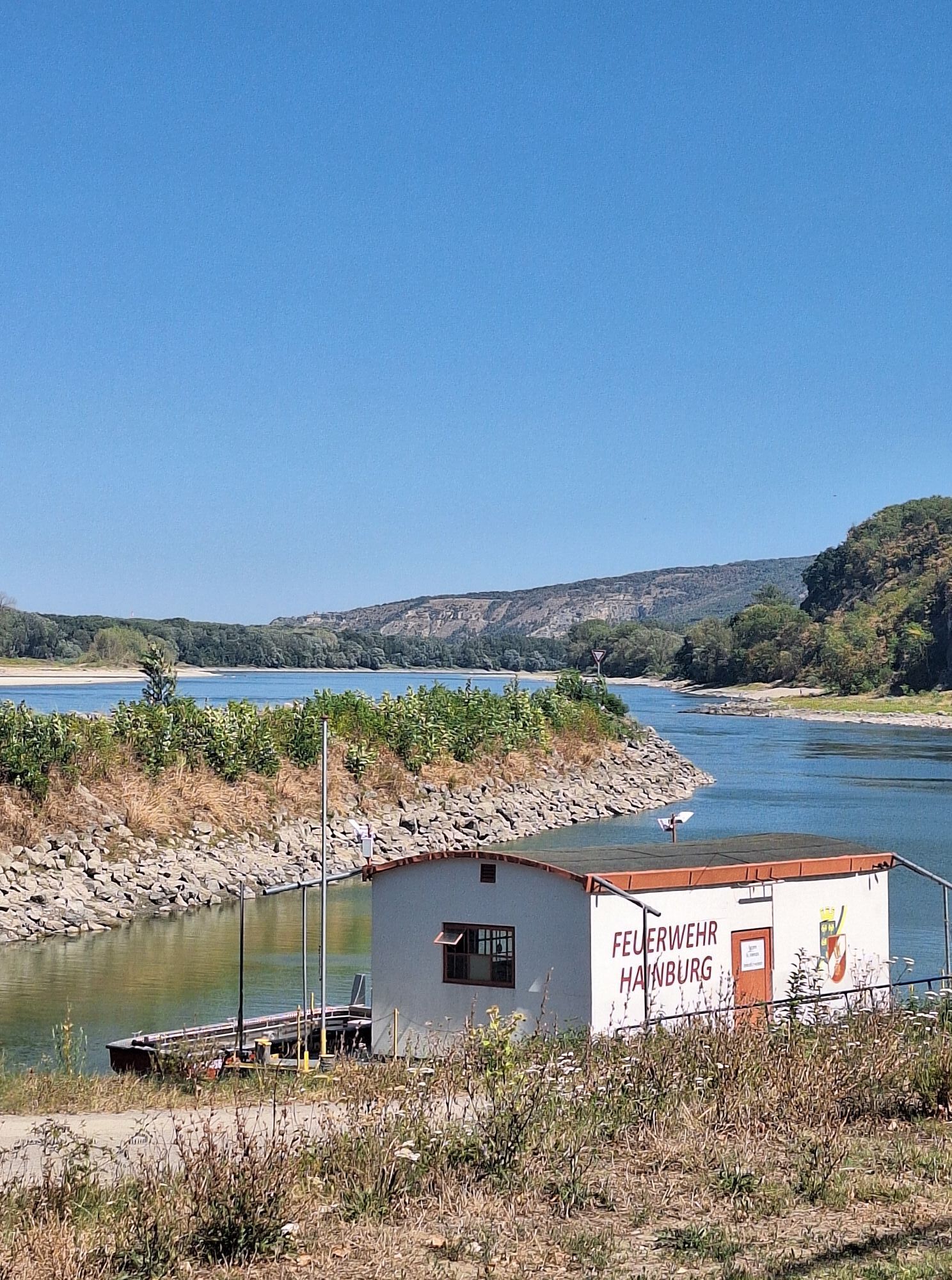
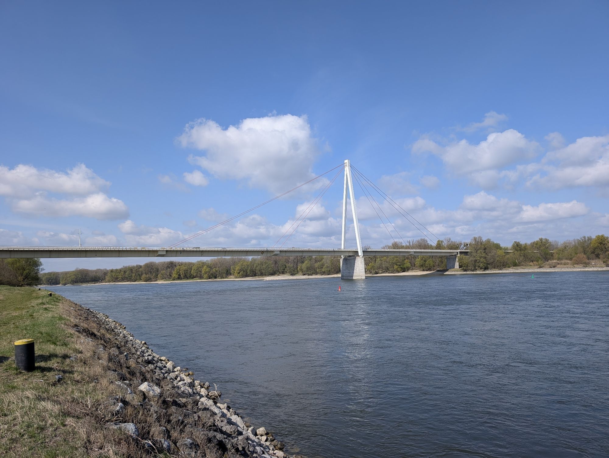
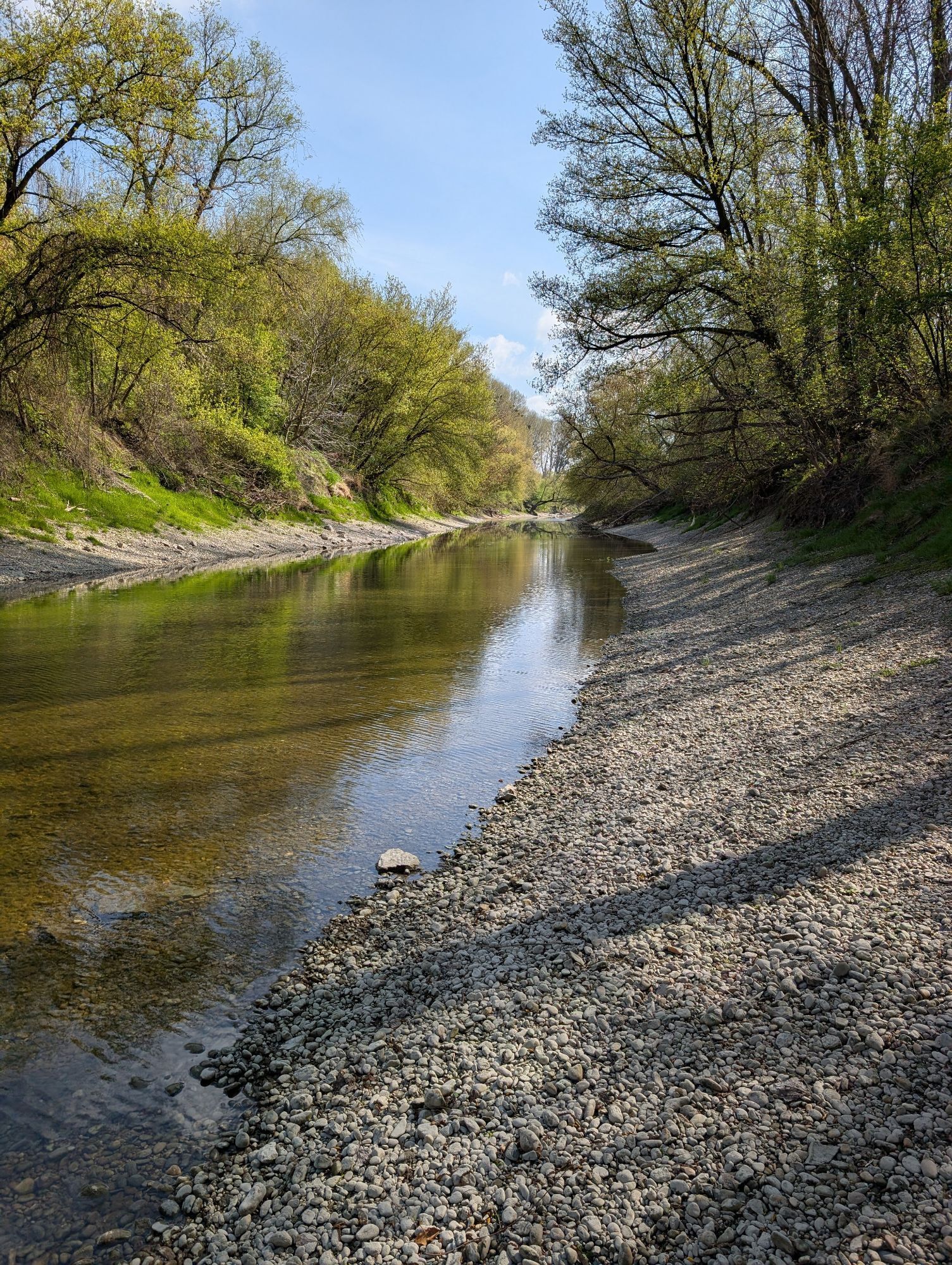
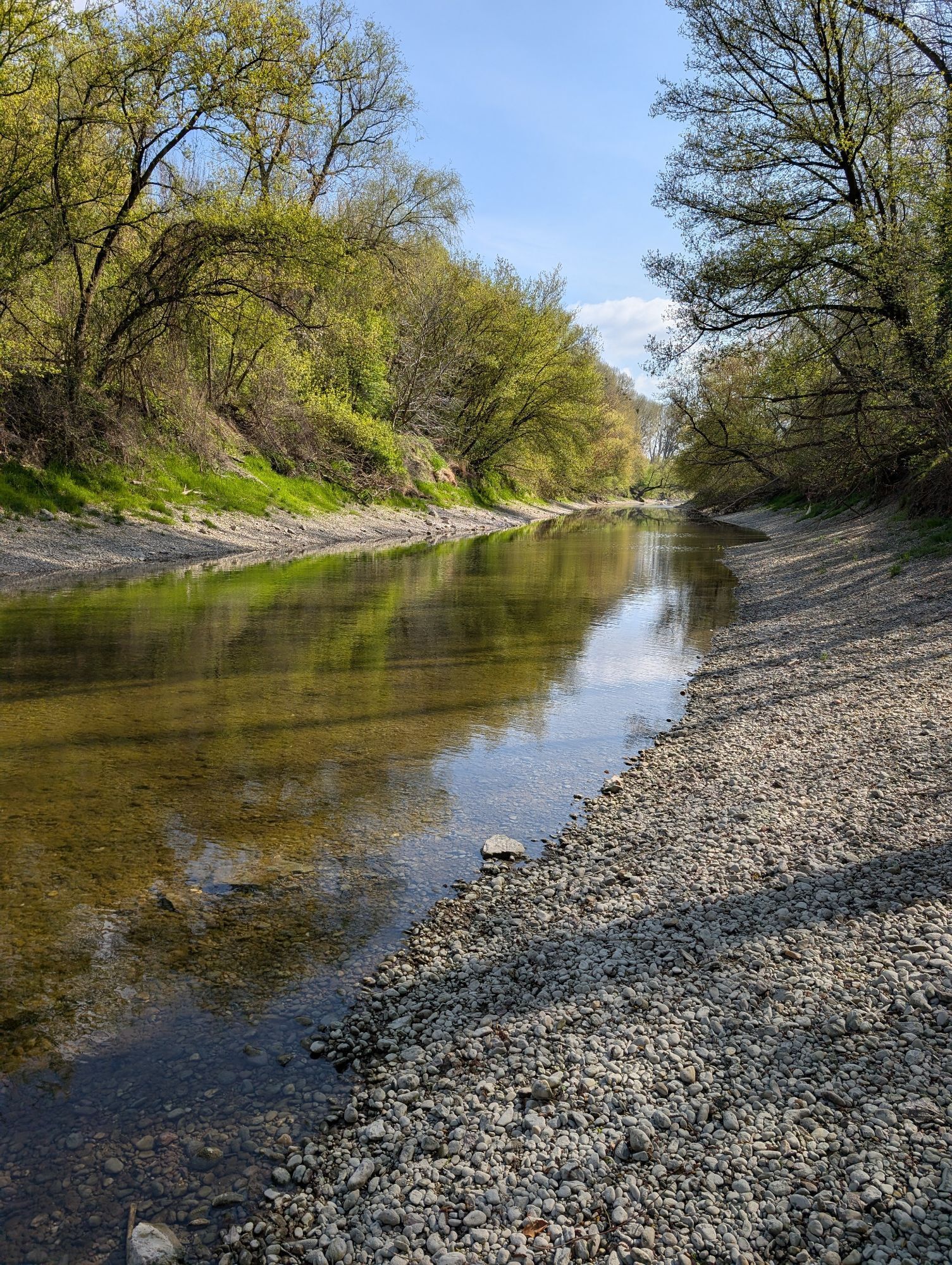
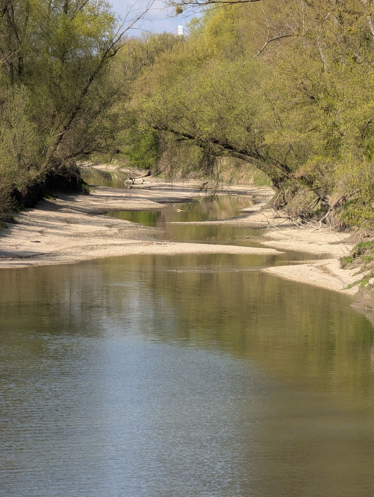
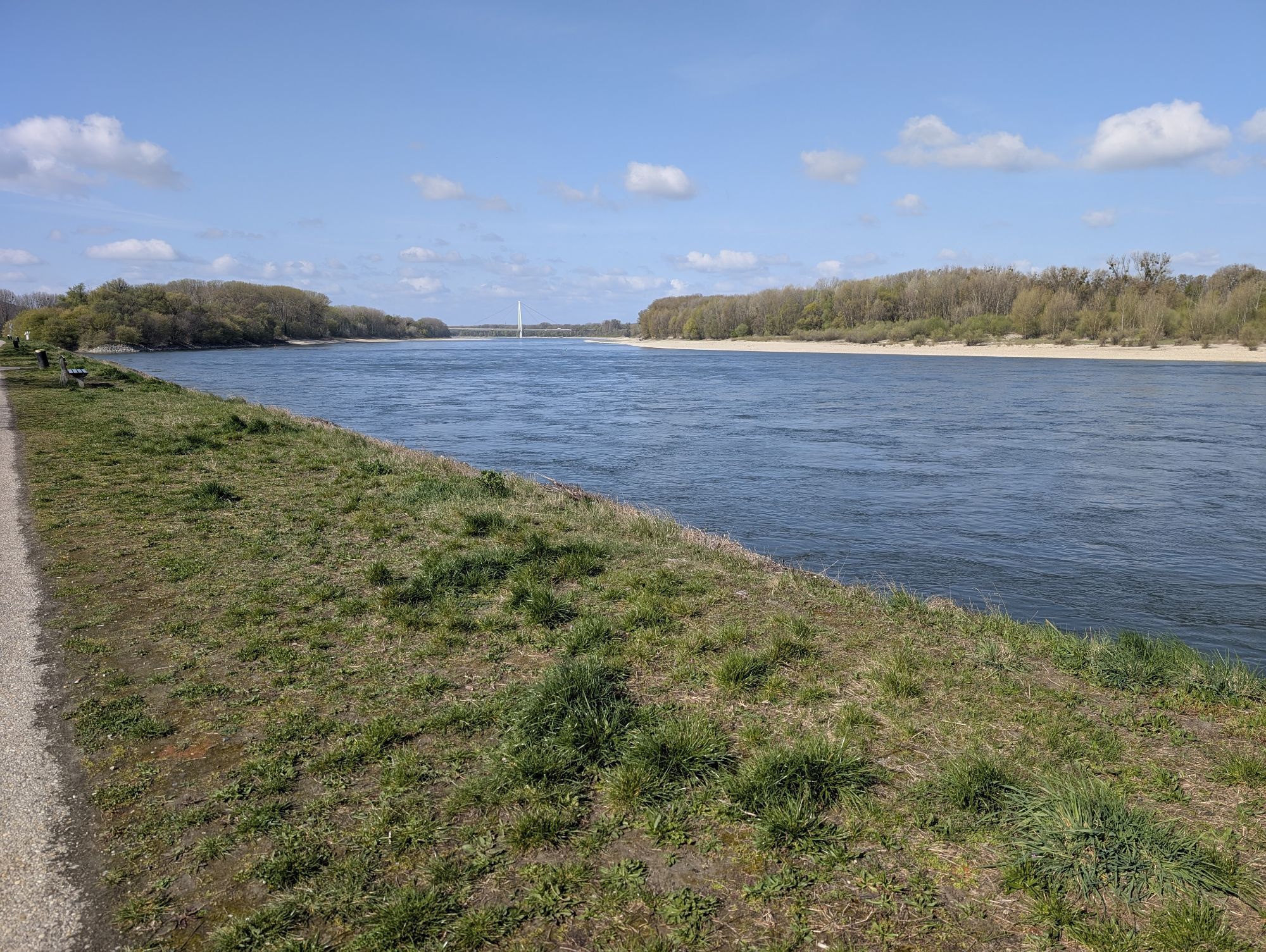
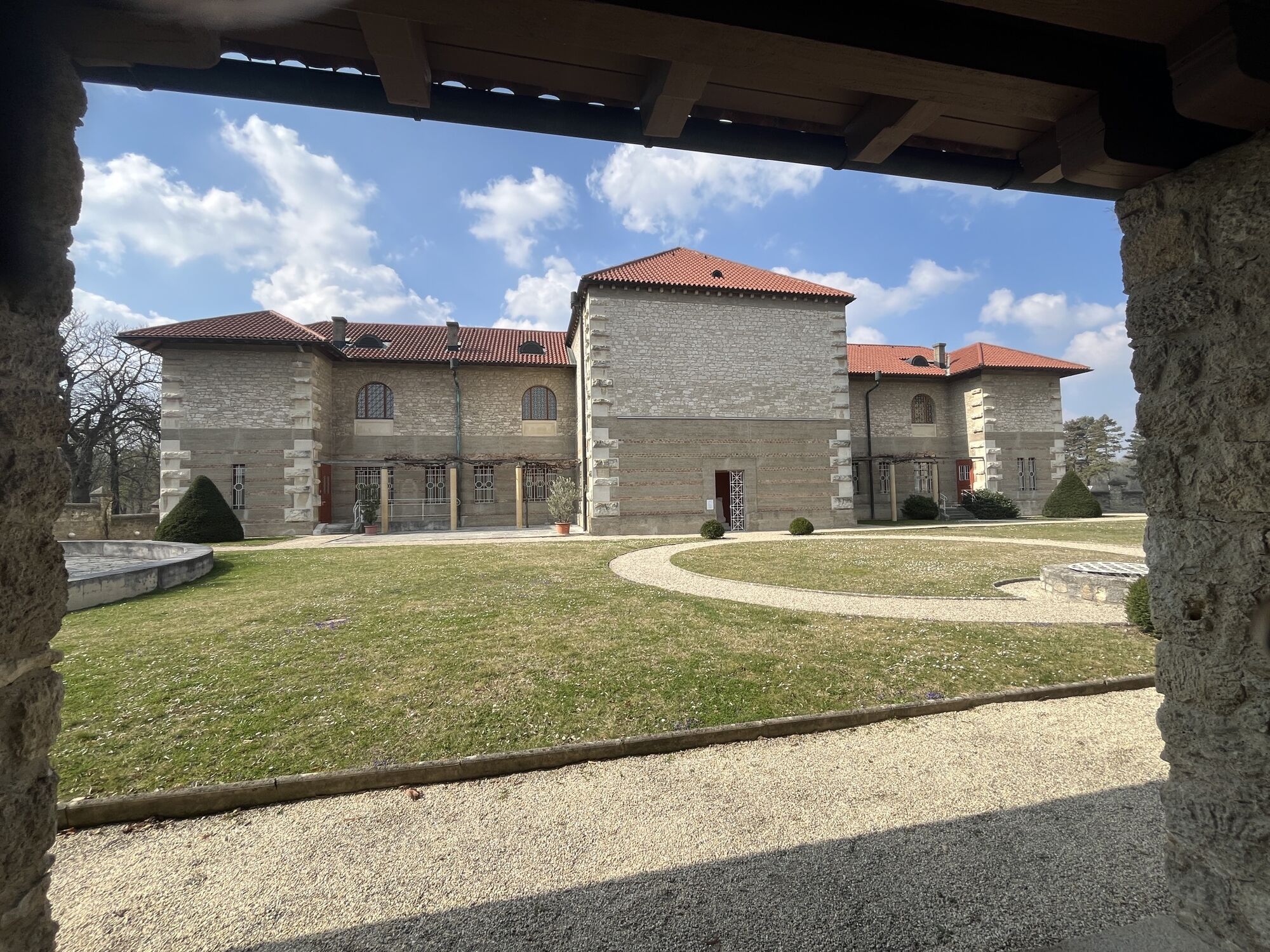

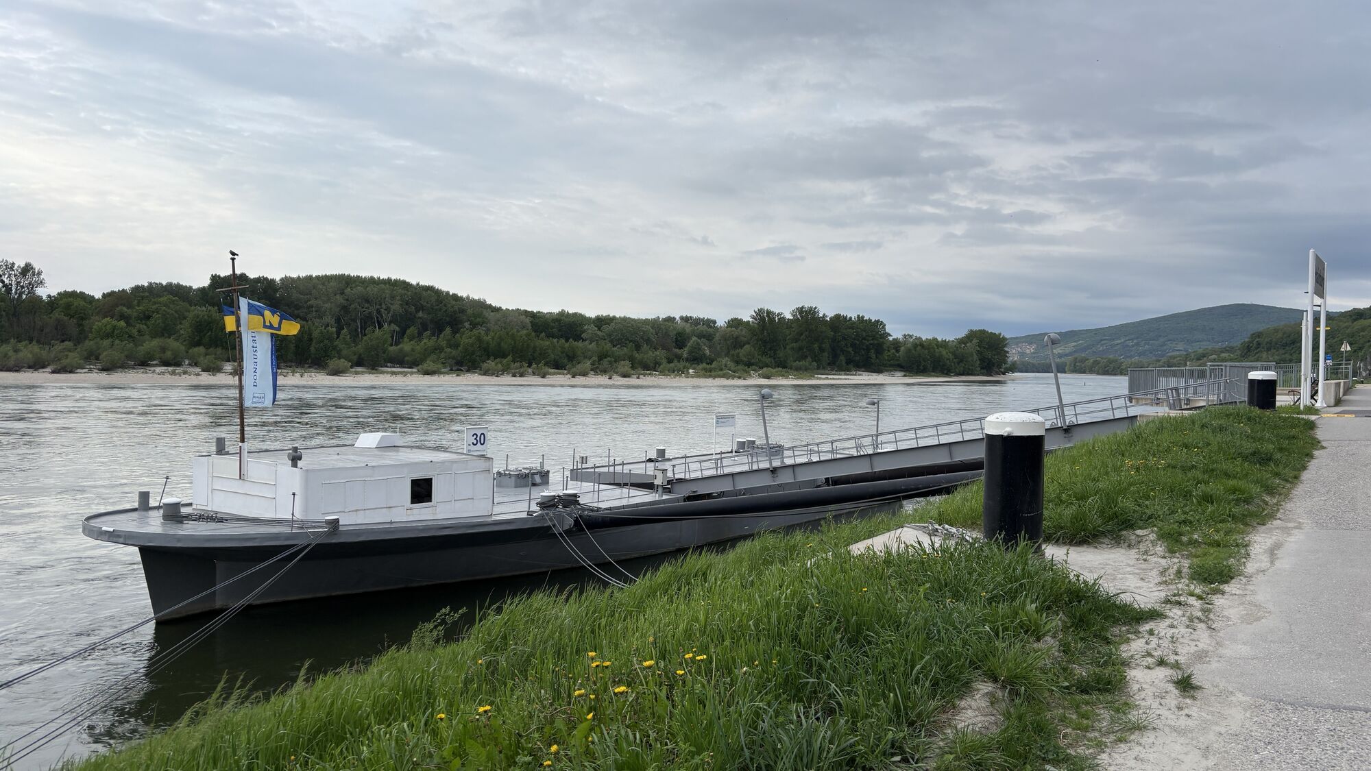
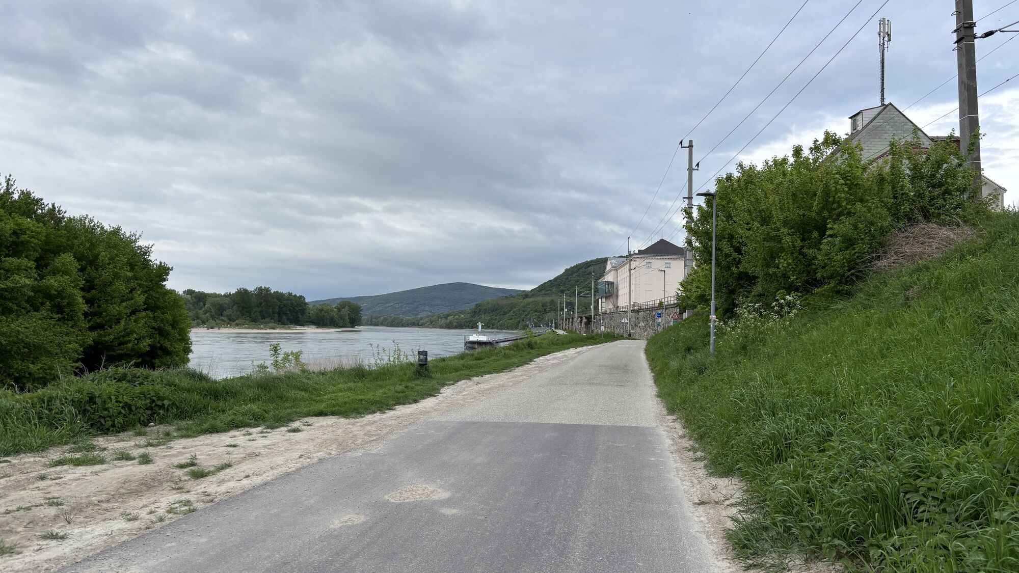
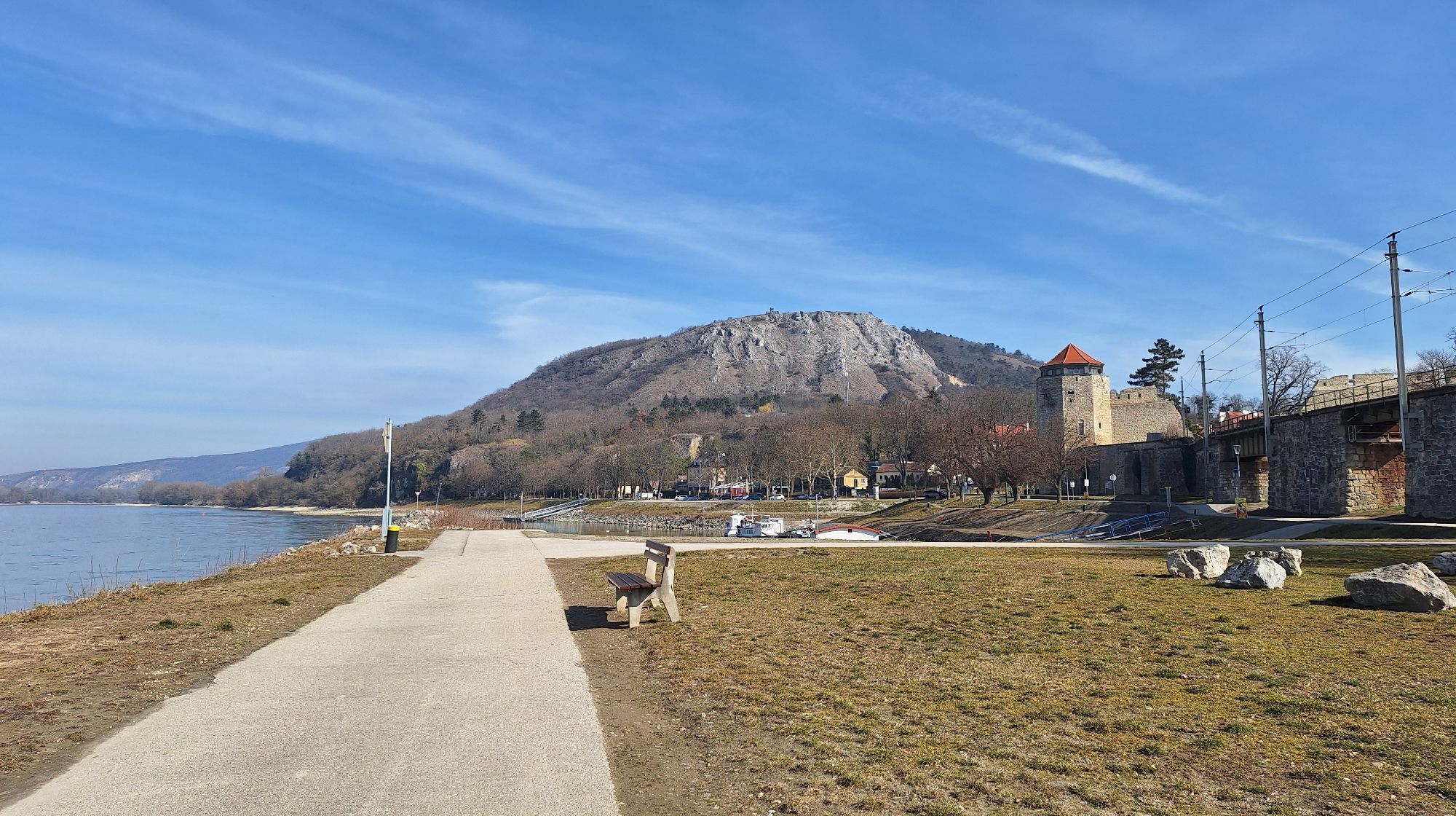
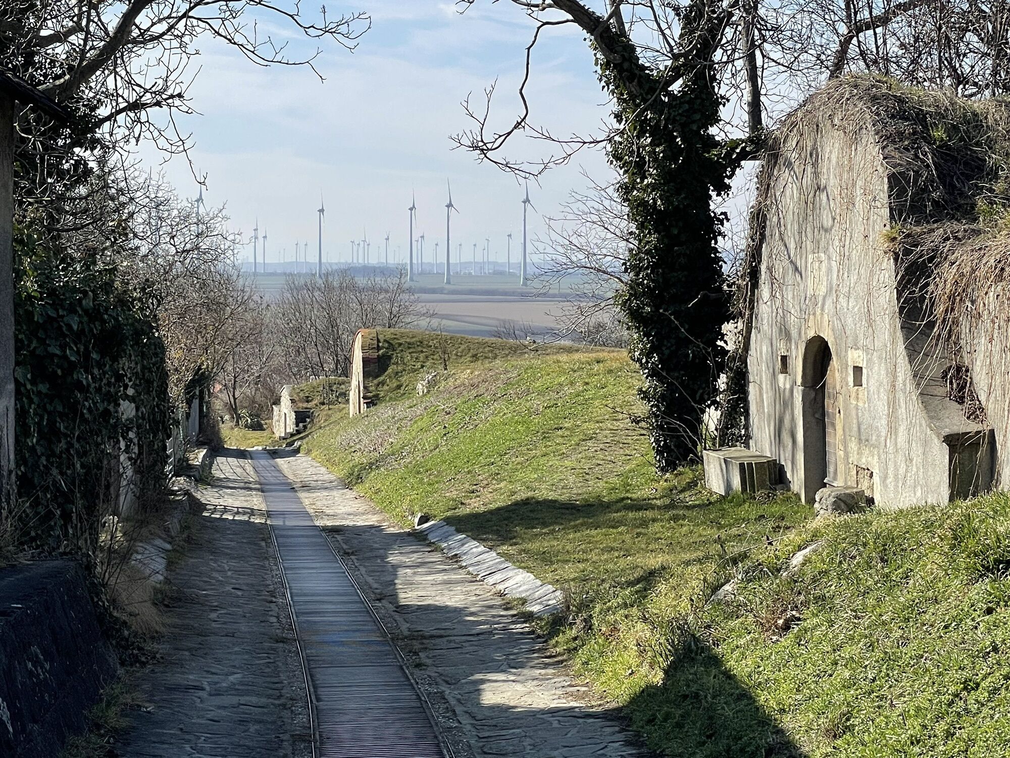

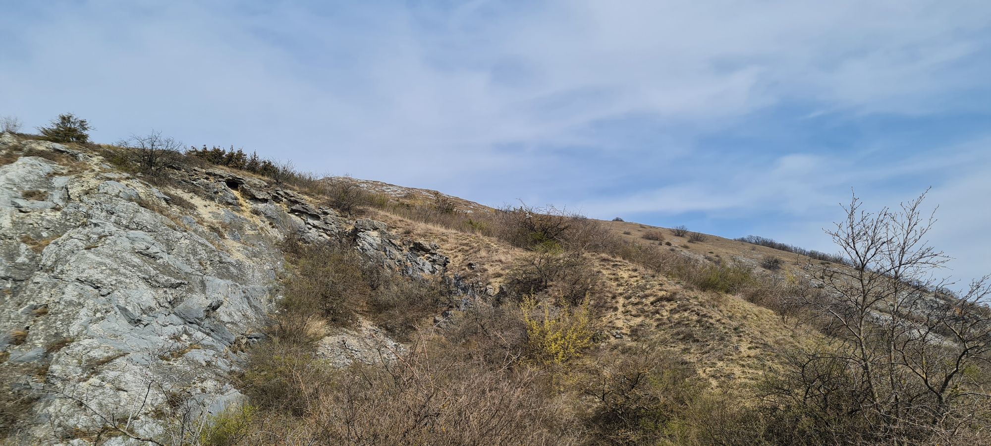

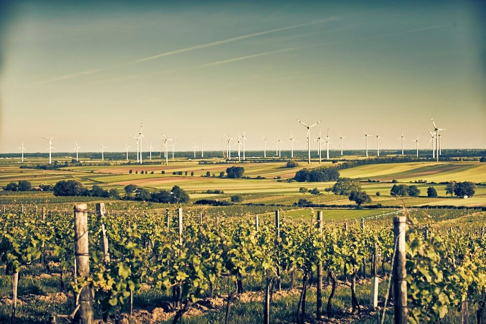

<p><strong>Hainburg - Bad Deutsch-Altenburg - Hundsheim - Edelstal - Berg - Wolfsthal - Hainburg</strong></p><p>The starting point of the route is the medieval town of Hainburg. From the ship landing stage, cycle along the Danube towards Bad Deutsch-Altenburg, where the Romans already appreciated the healing power of Austria's strongest iodine-sulfur spring. A detour to the beautiful spa park or the Carnuntinum Museum, the treasure house of Carnuntum, is worthwhile!</p><p>If you want to take a break, you can stop at the rest area "Zum Marc Aurel" at the edge of town.</p><p>From here, the path leads along the Hundsheimer Mountain past Hundsheim to Edelstal in Burgenland, where we again meet the large round Hundsheimer Berge Tour. We recommend a detour to the romantic cellar district of Edelstal, where a nice rest area with a drinking fountain awaits.</p><p>After Edelstal, the route continues towards Berg, leading along Austria's easternmost elevation with the Königwarte lookout point. Shortly before the town, you can enjoy a well-deserved break at the "Königwarte" bike rest area with views of the nearby wind turbines. In Berg, there is the glass Dreiländerbrunnen, symbolizing united Europe and a new beginning for the community of peoples.</p><p>The route continues from Berg to Wolfsthal. Here, the pilgrimage church "Maria am Birnbaum" can be visited. It is dedicated to Saint James and forms the starting point of the Jakobsweg in Austria. The path then follows the slopes of the Braunsberg back to Hainburg an der Donau, returning to the starting point.</p>
<p>On unpaved paths, there may be impairments after heavy rain or repair work. The municipalities strive to inspect the routes quickly and repair damages. Please ride carefully!</p>
<p>Car: via A4 exit Fischamend</p>
<p> Train: <br />From Wien Mitte S7: Petronell-Carnuntum, Bad Deutsch-Altenburg, Hainburg/Donau</p><p><br ><a href="http:/www.nextbike.at">www.nextbike.at</a>, <a href="www.anachb.at">www.anachb.at&...
<p>Hainburg an der Donau – train station, Wolfsthal train station, Berg, Prellenkirchen</p>
Oblíbené prohlídky v okolí
-
3.6
Braunsberg
středníTuristika 6.38 km -
4.2
Stopfenreuther Au
světloTuristika 5.14 km -
4.8
Hainburg - Hundsheimer Berg - Schlossberg - Braunsberg
světloTuristika 13 km -
4.9
Hainburg - Arche-Noah-Halbhöhle - Devín - Braunsberg
středníTuristika 10.9 km -
3.8
Hainburg Hundsheimer Berg Schlossberg Braunsberg 20190427
světloTuristika 9.60 km -
4.7
Hainburg an der Donau - Arche-Noah-Halbhöhle - Braunsberg
světloTuristika 4.42 km -
5.0
Karpaten: Hainburg - Braunsberg
světloTuristika 5.24 km -
5.0
Hainburg, Rund um den Braunsberg
světloTuristika 6.08 km -
5.0
Hundsheimer Berg - Karpaten
světloTuristika 4.75 km -
5.0
Hundsheimerberg - Angelos Touren
světloTuristika 6.36 km
Pěší turistika a stopování


Nenechte si ujít nabídky a inspiraci pro vaši příští dovolenou
Vaše e-mailová adresa byl přidán do poštovního seznamu.





