
Navigace na stránkách
Pořiďte si tuto prohlídku do mobilního telefonu
Mapa
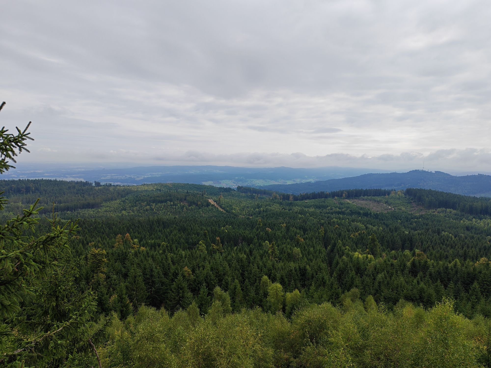
Bernhardiweg in the Waldviertel
světlo
Poutní stezka
124.49 km
Naskenujte QR kód a spusťte navigaci v aplikaci bergfex.
QR Code
Pěší turistika a stopování

Bernhardiweg in the Waldviertel
Vzdálenost
124.5 km
Doba trvání
31:50 h
Ascent
1868 hm
Hladina moře
502 - 837 m
Stažení skladby
Mapa
Bernhardiweg in the Waldviertel
světlo
Poutní stezka
124.49 km

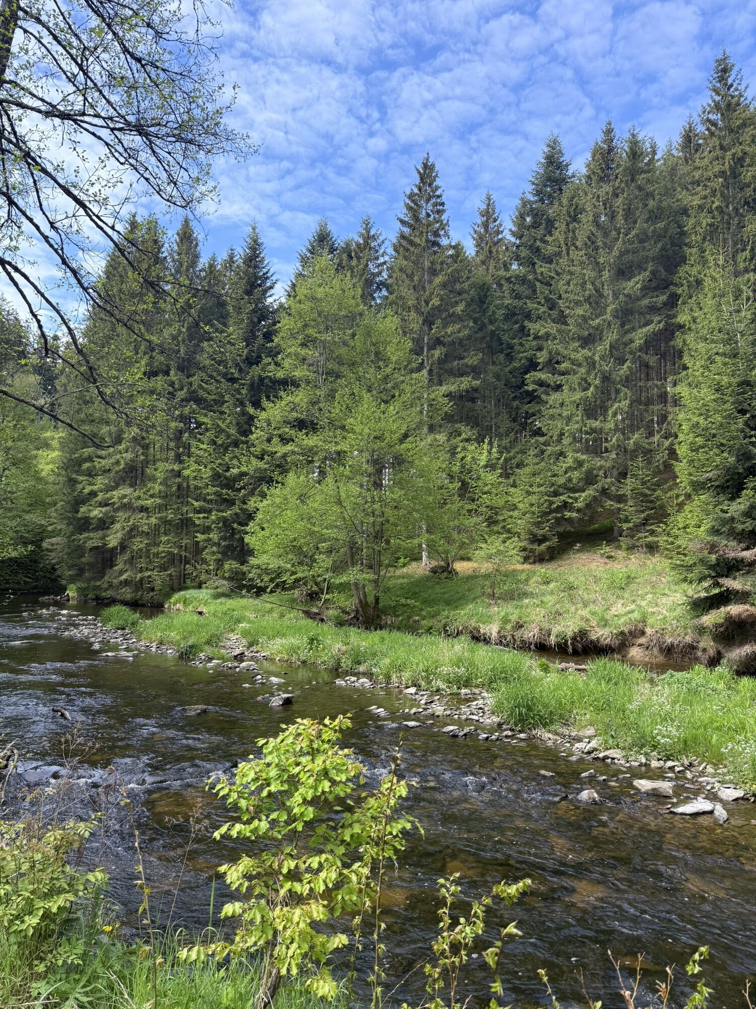
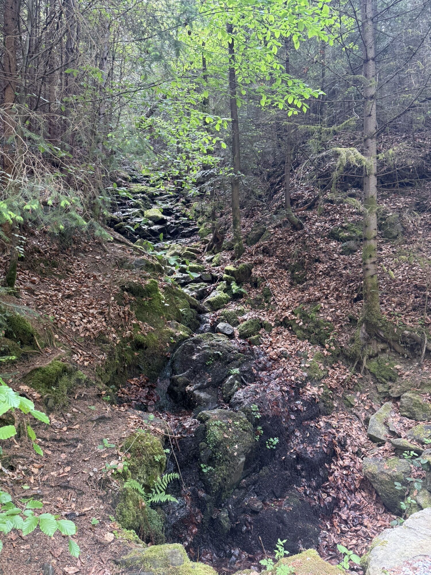
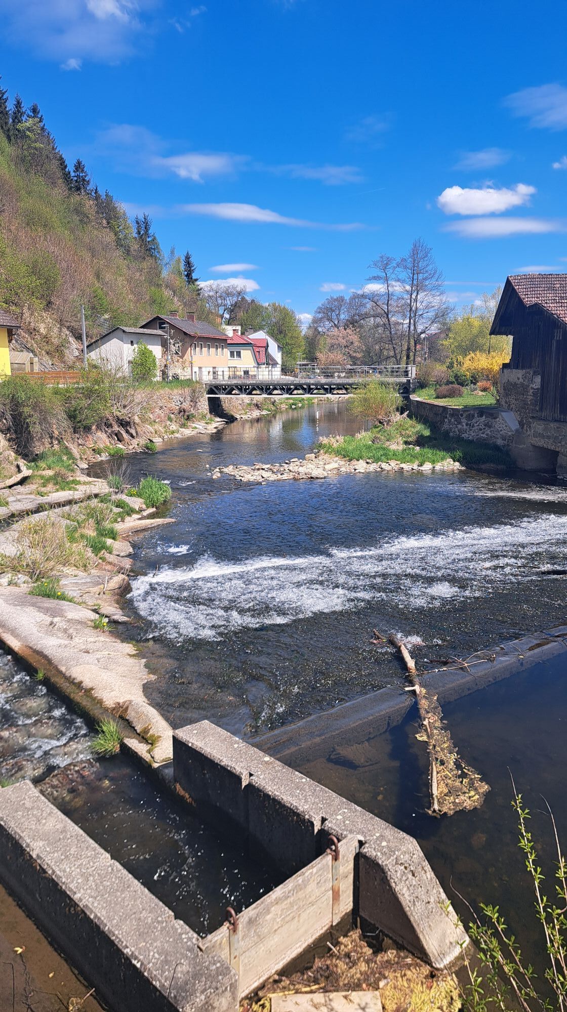
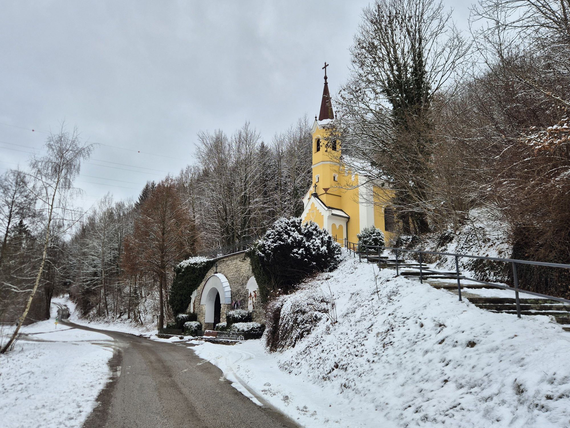
Fotografie našich uživatelů

ATTENTION: The trail is currently not yet fully signposted but can already be walked using the GPX data.

The Bernhardiweg is a pilgrimage route in the Waldviertel, Lower Austria, named after Saint Bernard...

Popis

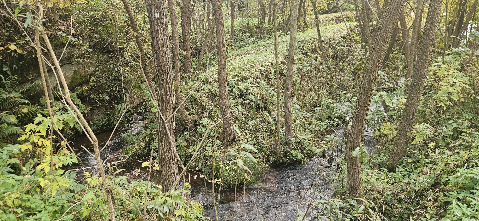
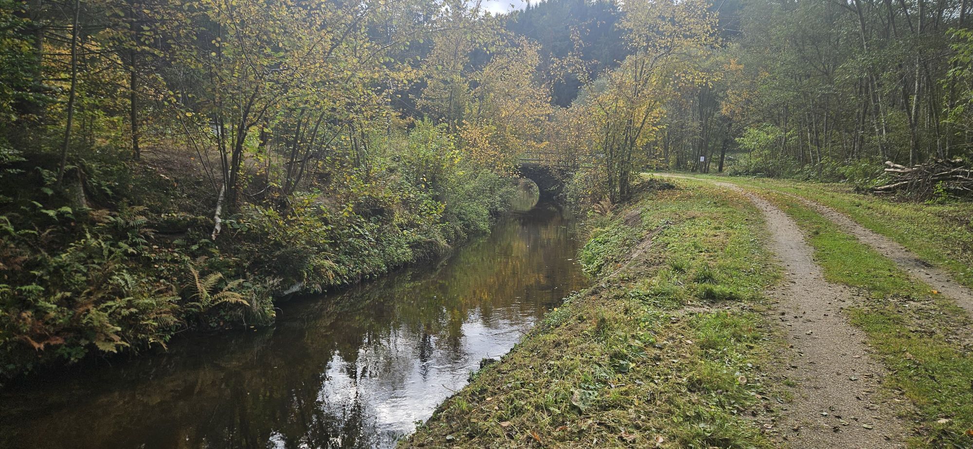
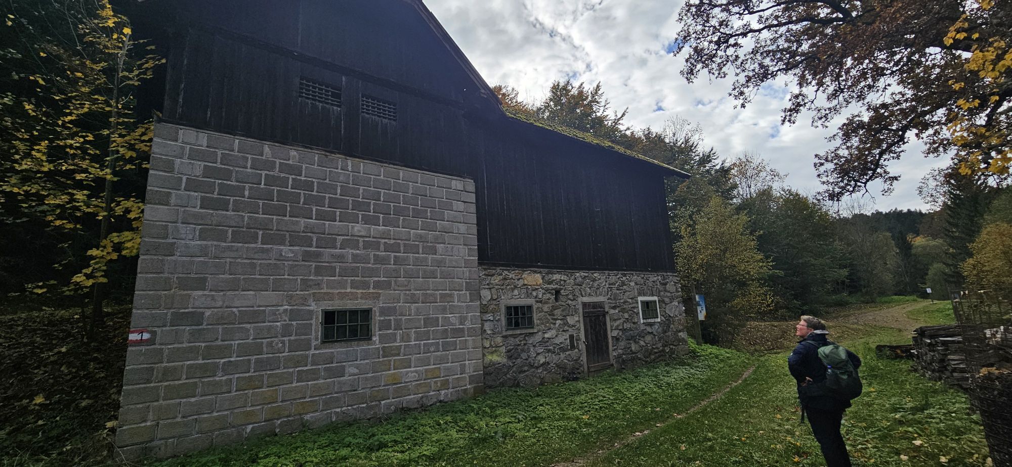
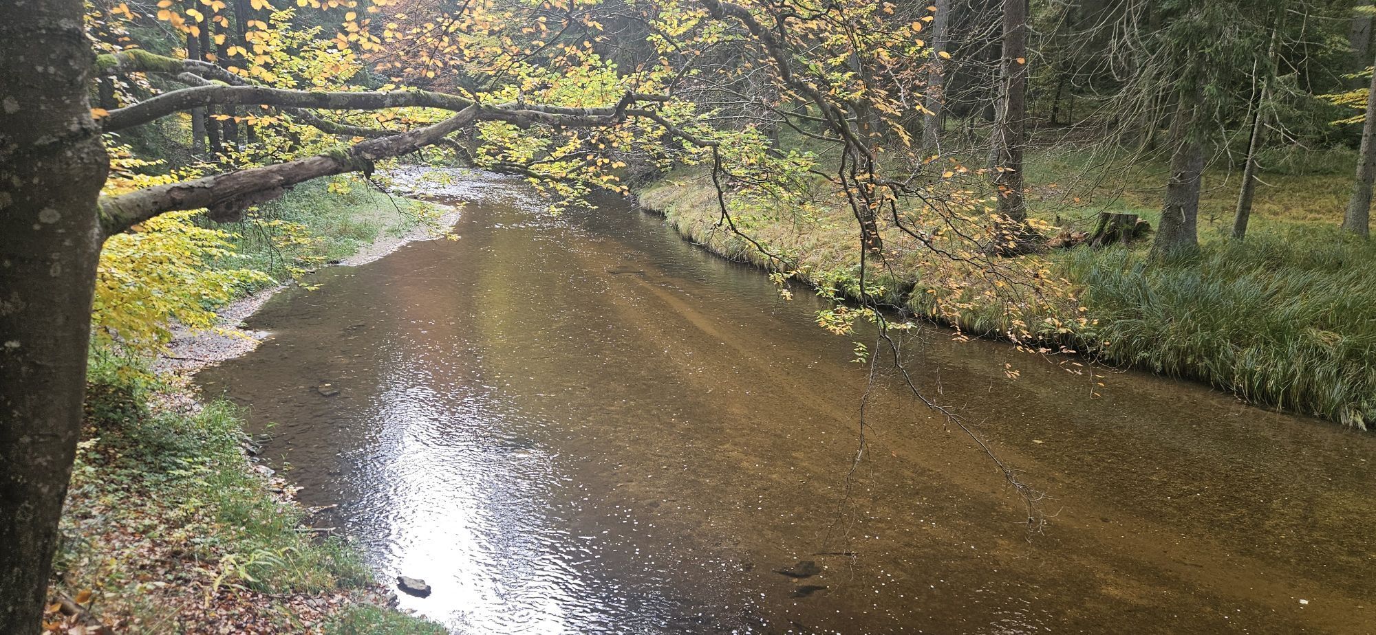
<p><strong>ATTENTION: The trail is currently not yet fully signposted but can already be walked using the GPX data.</strong></p><p>The Bernhardiweg is a pilgrimage route in the Waldviertel, Lower Austria, named after Saint Bernard of Clairvaux. It connects several historical and spiritual places and invites you to discover the rich history and scenic beauty of the region.</p>

Trasa
hl. Martin
(582 m)
Místo konání bohoslužeb
15.6 km
Pfarrkirche Hl. Antonius von Padua
(577 m)
Místo konání bohoslužeb
28.1 km
Holmberg
(736 m)
Summit
39.0 km
Johannesberg
(839 m)
Summit
62.4 km
Friedenskapelle
(706 m)
Místo konání bohoslužeb
85.0 km
Pfarrkirche hl. Margaretha
(674 m)
Místo konání bohoslužeb
88.8 km
Pfarrkirche Maria Himmelfahrt
(518 m)
Místo konání bohoslužeb
119.4 km
Trasa
Mapa
Bernhardiweg in the Waldviertel
světlo
Poutní stezka
124.49 km
Stiftstaverne
(520 m)
Restaurace
0.1 km
Zwettl Stift
(516 m)
Vesnice
0.1 km
Gradnitz
(600 m)
Vesnice
5.0 km
Pfarrkirche Hl. Dreifaltigkeit
(628 m)
Místo konání bohoslužeb
7.8 km
Gasthaus zur alten Schmiede
(624 m)
Restaurace
7.9 km
Oberstrahlbach
(625 m)
Vesnice
7.9 km
Kranhäuser
(663 m)
Vypořádání
9.1 km
Au Ließ
(658 m)
Koridor/terén
10.6 km
Gen
(651 m)
Koridor/terén
12.0 km
Walterschlag
(634 m)
Vypořádání
13.2 km
Dorfwirtshaus Sallingstadt
(584 m)
Restaurace
15.3 km
Sallingstadt
(578 m)
Vypořádání
15.4 km
hl. Martin
(582 m)
Místo konání bohoslužeb
15.6 km
Hausgärten
(631 m)
Koridor/terén
19.8 km
hl. Ägydius
(633 m)
Místo konání bohoslužeb
19.9 km
Harry's Thayaquellenhof
(633 m)
Restaurace
20.0 km
Schweiggers
(634 m)
Vesnice
20.1 km
Veranstaltungssaal
(631 m)
Restaurace
20.2 km
Gasthaus Swidger
(632 m)
Restaurace
20.2 km
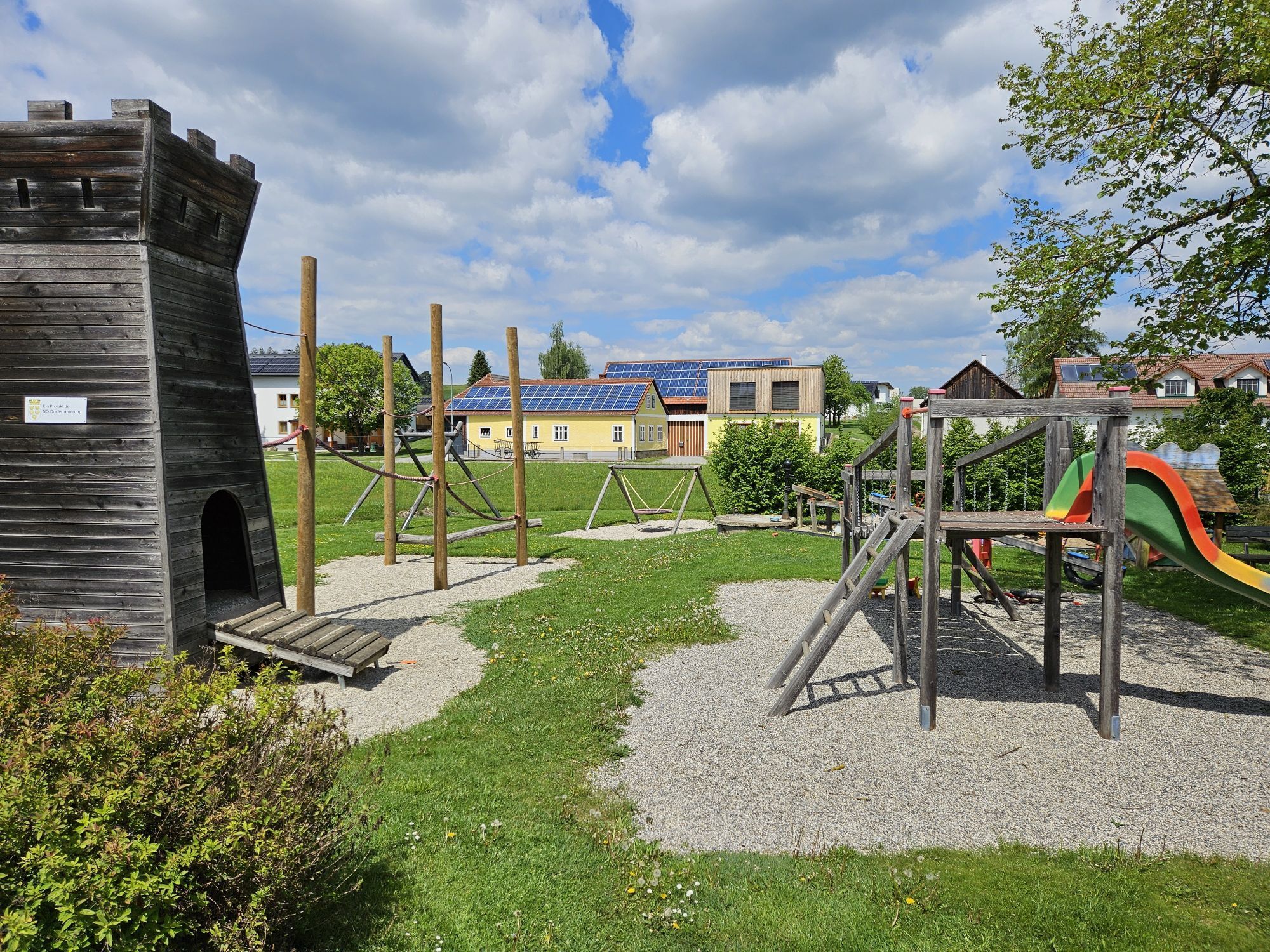
Schaukel
(648 m)
Dětské hřiště
22.3 km
Thayaursprung
(657 m)
Zdroj:
22.6 km
Mödershöf
(656 m)
Vypořádání
24.0 km
Kinderspielplatz
(571 m)
Dětské hřiště
27.8 km
Pfarrkirche Hl. Antonius von Padua
(577 m)
Místo konání bohoslužeb
28.1 km
Jagenbach
(581 m)
Vesnice
28.3 km
Gasthaus Hofbauer
(581 m)
Restaurace
28.7 km
Zielwiesen
(580 m)
Koridor/terén
30.0 km
Rothfarn
(584 m)
Vesnice
30.5 km
Dorfwiesen
(604 m)
Koridor/terén
30.9 km
Mitterholz
(608 m)
Koridor/terén
31.7 km
Halblehen im Schaufelfeld
(614 m)
Koridor/terén
32.2 km
Hauslüß
(633 m)
Koridor/terén
34.5 km
Siebenlinden
(653 m)
Vesnice
35.7 km
Pfarrkirche zum Hl. Jakobus
(662 m)
Místo konání bohoslužeb
35.9 km
Reinholzquanten/Zehent-Lehen
(640 m)
Koridor/terén
36.6 km
Holmberg
(736 m)
Summit
39.0 km
Jahrtausendlebensturm
(738 m)
Úhel pohledu
39.1 km
Hollenberg
(688 m)
Koridor/terén
40.5 km
Hoflüß
(672 m)
Koridor/terén
41.0 km
Großwolfgers
(637 m)
Vesnice
41.8 km
Quanten
(654 m)
Koridor/terén
42.9 km
Ulrichs
(516 m)
Vesnice
46.3 km
Weitra
(574 m)
Železniční stanice
49.4 km
Stadtpfarrkirche zu den Hll. Petrus und Paulus
(562 m)
Místo konání bohoslužeb
50.1 km
Weitra
(575 m)
Město
50.3 km
Sankt Wolfgang
(636 m)
Vesnice
54.5 km
Pfarrkirche hl. Wolfgang
(647 m)
Místo konání bohoslužeb
54.5 km
Spital
(648 m)
Vesnice
57.5 km
Oberwindhag
(696 m)
Vesnice
59.7 km
Harmannstein
(730 m)
Vesnice
61.7 km
Bergholz
(835 m)
Koridor/terén
62.3 km
Filialkirche hl. Johannes der Täufer
(836 m)
Místo konání bohoslužeb
62.4 km
Johannesberg
(839 m)
Summit
62.4 km
Schafberg
(729 m)
Summit
65.8 km
Waldviertler Stüberl
(692 m)
Restaurace
67.1 km
Pfarrkirche hl. Leonhard
(681 m)
Místo konání bohoslužeb
67.2 km
Schönauer Hof
(681 m)
Restaurace
67.2 km
Großschönau
(680 m)
Vesnice
67.3 km
Stiftmühle
(632 m)
Koridor/terén
68.7 km
Großotten
(607 m)
Vesnice
70.8 km
Gasthof Thaler
(611 m)
Restaurace
71.0 km
Preinreichs
(627 m)
Vesnice
73.5 km
Wurmbrand
(671 m)
Vesnice
77.9 km
Pfarrkirche hl. Pankratius
(672 m)
Místo konání bohoslužeb
78.0 km
Böhmsdorferfeld
(698 m)
Koridor/terén
78.5 km
Böhmsdorf
(709 m)
Vesnice
80.3 km
Haid
(683 m)
Vesnice
82.8 km
Friedenskapelle
(706 m)
Místo konání bohoslužeb
85.0 km
Dietmanns
(716 m)
Vesnice
86.2 km
Jackel
(685 m)
Koridor/terén
86.5 km
HIRSCH28 WIRTShaus & delikatESSEN Manufaktur
(674 m)
Restaurace
88.6 km
Gasthaus Hirsch
(677 m)
Restaurace
88.7 km
Pfarrkirche hl. Margaretha
(674 m)
Místo konání bohoslužeb
88.8 km
Groß Gerungs
(673 m)
Město
88.9 km
Weißmühle
(669 m)
Vypořádání
93.2 km
Gundholzfeld
(703 m)
Koridor/terén
94.9 km
Freitzenschlag
(733 m)
Vesnice
95.3 km
Kottingnondorf
(760 m)
Vesnice
97.4 km
Groß Meinharts
(736 m)
Vesnice
97.7 km
Pfarrkirche hl. Laurentius
(731 m)
Místo konání bohoslužeb
99.5 km
Etzen
(730 m)
Vesnice
99.5 km
Landgasthaus Mathe
(726 m)
Restaurace
99.6 km
Rosenau Schloss
(630 m)
Vesnice
106.2 km
Meierhof Heuriger
(617 m)
Restaurace
106.2 km
Guttenbrunn
(585 m)
Vesnice
107.9 km
Mühllüß
(570 m)
Koridor/terén
108.4 km
Bruckmühl
(557 m)
Koridor/terén
109.4 km
Schachermühl
(543 m)
Koridor/terén
110.3 km
Syrafeld
(550 m)
Vesnice
111.8 km
Im Graben
(547 m)
Koridor/terén
112.2 km
Bründlkirche
(525 m)
Místo konání bohoslužeb
118.7 km
Pfarrkirche Maria Himmelfahrt
(518 m)
Místo konání bohoslužeb
119.4 km
Zwettl
(525 m)
Město
119.7 km
Bügerspitalskirche
(525 m)
Místo konání bohoslužeb
119.9 km
Johannes von Nepomuk Kapelle
(503 m)
Místo konání bohoslužeb
124.0 km
Stiftstaverne
(520 m)
Restaurace
124.3 km
Zwettl Stift
(516 m)
Vesnice
124.4 km
Informace o prohlídce

<p>Stift Zwettl - Oberstrahlbach - Sallingstadt - Schweiggers - Jagenbach - Siebenlinden - Weitra - St. Wolfgang - Spital - Johannesberg - Großschönau - Wurmbrand - Groß Gerungs - Etzen - Schloss Rosenau - Zwettl - Stift Zwettl </p>

Technologie
n.a.
Stav
1 / 6
Krajina
n.a.
Zkušenosti
n.a.
Nejlepší roční období
Led
Úno
Bře
Dub
Kvě
Čen
Čec
Srp
Zář
Říj
Lis
Pro
Autor
Poskytuje noe-tourismus
Vytvořeno dne 03. Dezember 2025
176 Hovory
Logo
Sdílet prohlídku
Mapa
Bernhardiweg in the Waldviertel
světlo
Poutní stezka
124.49 km
Chyba
Došlo k chybě. Zkuste to prosím znovu.
Informace o trase
Trasa

<p>You can find the detailed route description here: www.zwalk.at/der-bernhardiweg-im-wald... </p>

Vybavení

<p>Sturdy footwear, functional clothing, sun and rain protection, maps, optionally telescopic poles, first aid kit (blister plasters), sufficient provisions (snack, muesli bars, fruit, water).</p>

Bezpečnostní pokyny

<p>Make sure when choosing your route that it suits your fitness level. Check whether the restaurants you want to visit on the way are open. Pack your charged mobile phone and maps into your backpack.</p>

Informace o příjezdu
Příjezd

<p>Find the best and fastest way to the start point of the route using the route planner: www.google.at/maps   </p>

Veřejná doprava

<p>All information about all bus and train lines to the Waldviertel can be found at <a href="www.vor.at">www.vor.at</a> or at <a href="www.oebb.at">www.oebb.at</...  </p>
Další informace a tipy
Další informace

Waldviertel Tourism
3910 Zwettl, Sparkassenplatz 1/2/2
(T) +43 2822 54109
(E) info@waldviertel.at


(I) www.waldviertel.at/pilgern-bernhardiweg

 
Zatím žádné recenze
Napište recenzi

Recenze pomáhají ostatním uživatelům při výběru dalšího dobrodružství. Hodnoťte prosím pouze prohlídku, nikoli počasí nebo svačinu.

Výběrem jedné z hvězdiček ohodnotíte prohlídku
Špatné turné
Slabé turné
Průměrné turné
Dobrá prohlídka
Vynikající prohlídka
bergfex logo Získejte přehled Vždy živě na místě s více než 9 500 webkamerami. bergfex Jako uživatel Pro si nyní můžete zobrazit odpovídající webové kamery pro mnoho prohlídek v aplikaci prohlídky z. Můžete si tak přímo prohlédnout aktuální podmínky.
Pěší turistika a stopování

Pěší turistika a stopování

Pěší turistika a stopování
Více než 550.000 návrhů výletů, podrobné mapy a intuitivní plánovač tras dělají z aplikace nezbytnou výbavu pro všechny milovníky přírody.
bergfex