


Bernhardiweg - Stage 4: Groß Gerungs - Zwettl Abbey
Fotografie našich uživatelů
-
 © Michaela HahnenkampVytvořeno dne 19.05.2026
 -
 © Michaela HahnenkampVytvořeno dne 19.05.2026
 -
 © Michaela HahnenkampVytvořeno dne 19.05.2026
 -
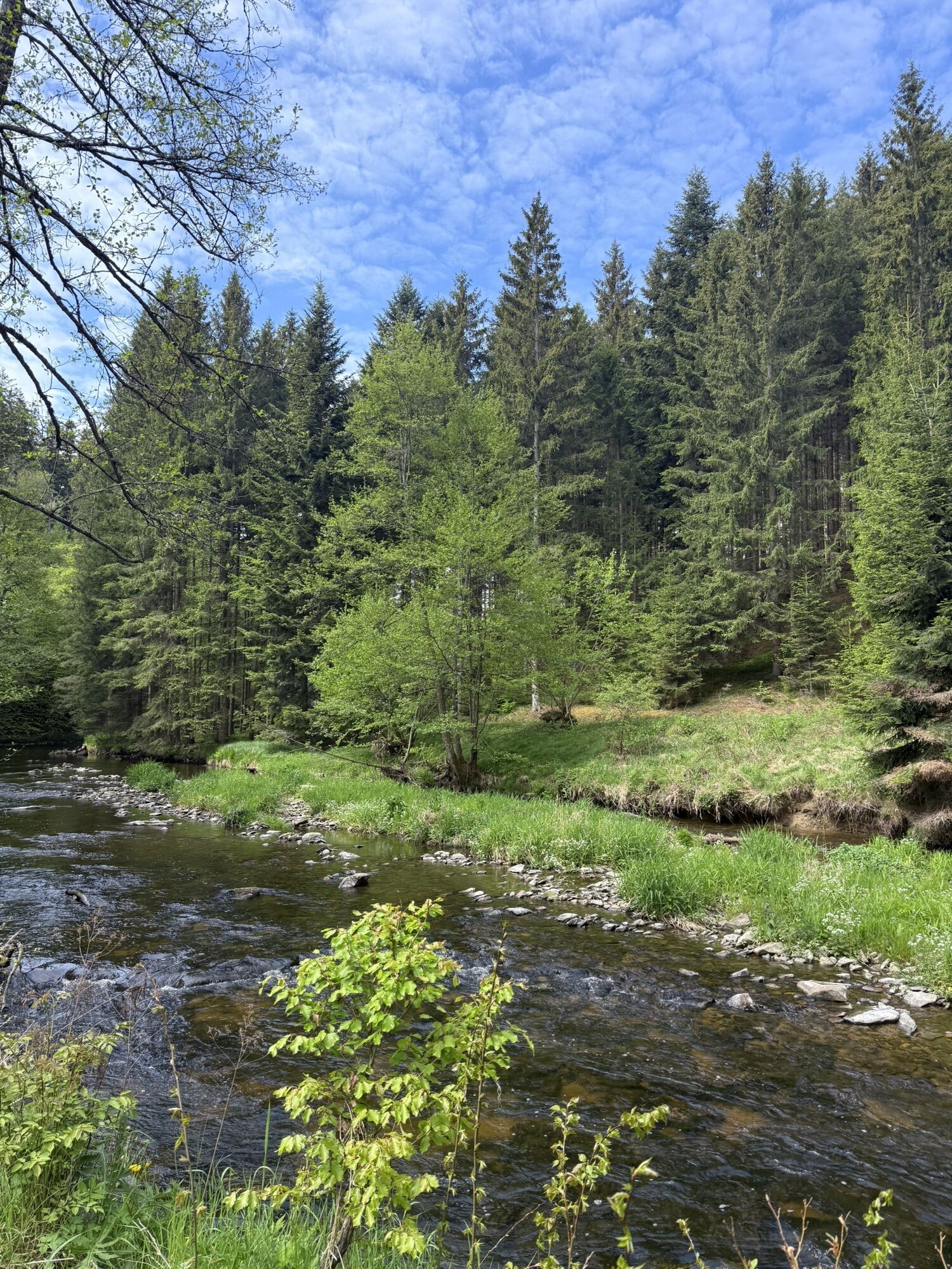
 © Martin TesarVytvořeno dne 01.05.2026
 -
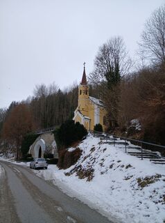
 © josef duermoserVytvořeno dne 15.02.2026
 -
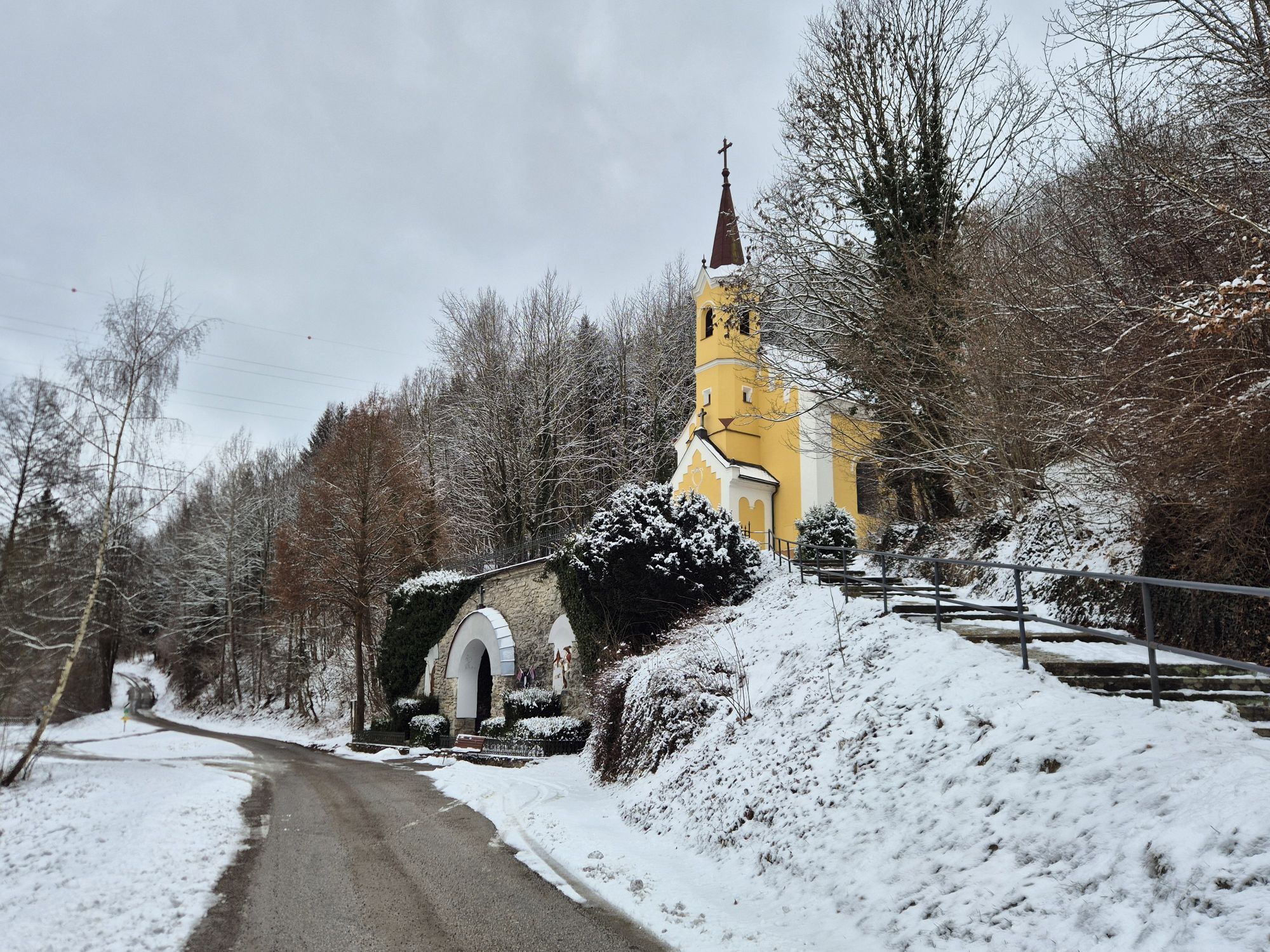
 © josef duermoserVytvořeno dne 15.02.2026
 -
 © josef duermoserVytvořeno dne 15.02.2026
 -
 © josef duermoserVytvořeno dne 15.02.2026
 -
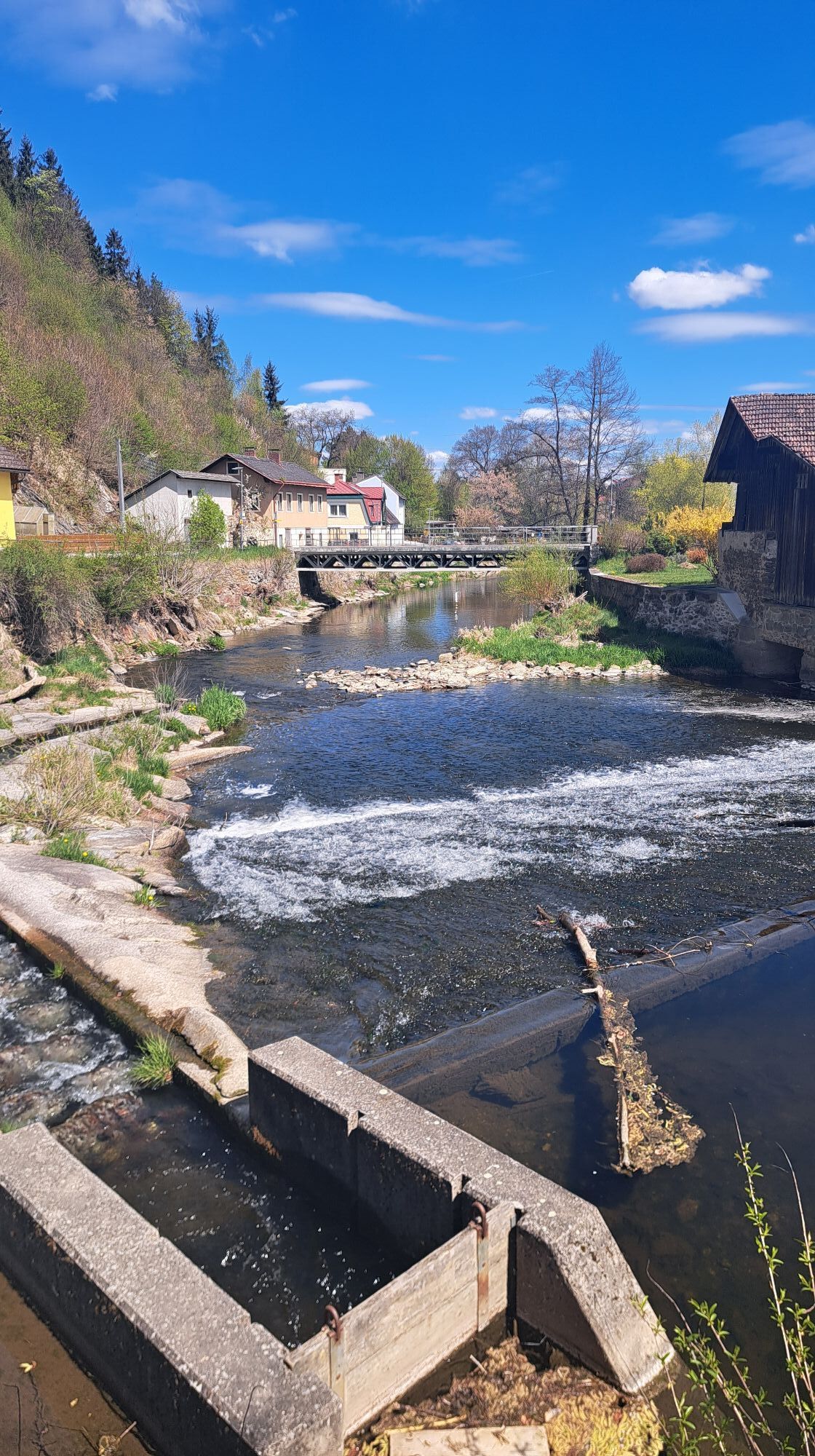
 © Alfred Pelz 2Vytvořeno dne 26.10.2025
 -

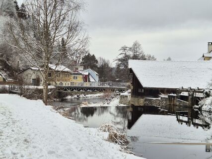
 © Berni_SVytvořeno dne 16.10.2025
 -
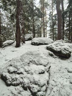
 © Berni_SVytvořeno dne 16.10.2025
 -
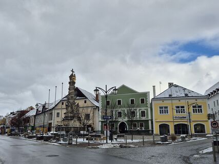
 © Berni_SVytvořeno dne 16.10.2025
 -
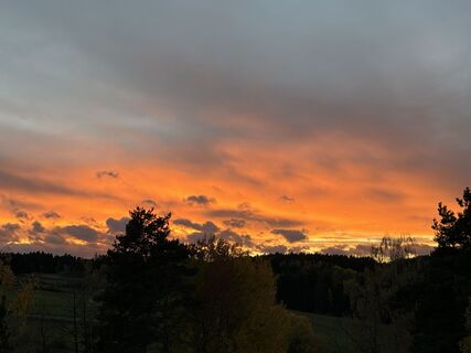
 © Berni_SVytvořeno dne 16.10.2025
 -
 © Berni_SVytvořeno dne 16.10.2025
 -
 © Berni_SVytvořeno dne 16.10.2025
 -
 © Berni_SVytvořeno dne 16.10.2025
 -
 © Berni_SVytvořeno dne 16.10.2025
 -

 © Claudia ThimeVytvořeno dne 08.10.2025
 -
 © Astrid KaudelaVytvořeno dne 19.09.2025
 -
 © Gerald S. WidmannVytvořeno dne 31.01.2026
 -
 © Gerald S. WidmannVytvořeno dne 31.01.2026
 -
 © Gerald S. WidmannVytvořeno dne 31.01.2026
 -
 © Gerald S. WidmannVytvořeno dne 31.01.2026


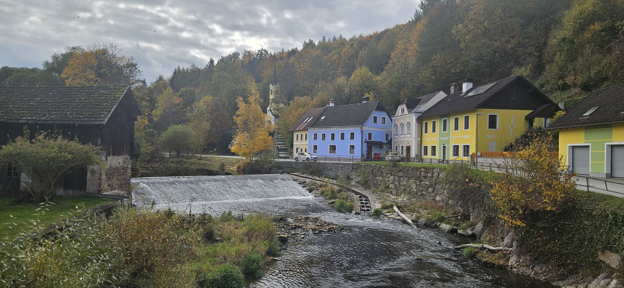
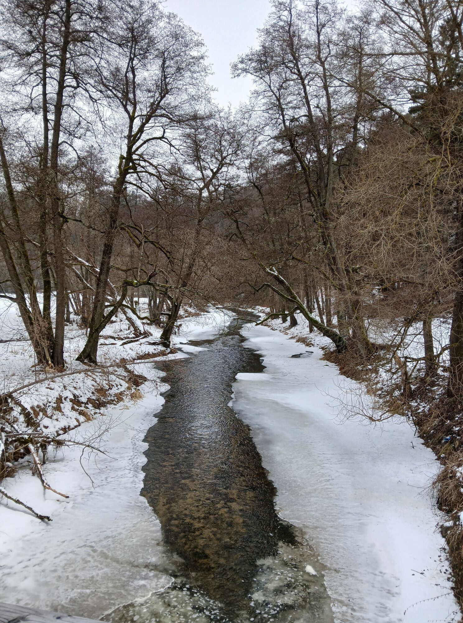
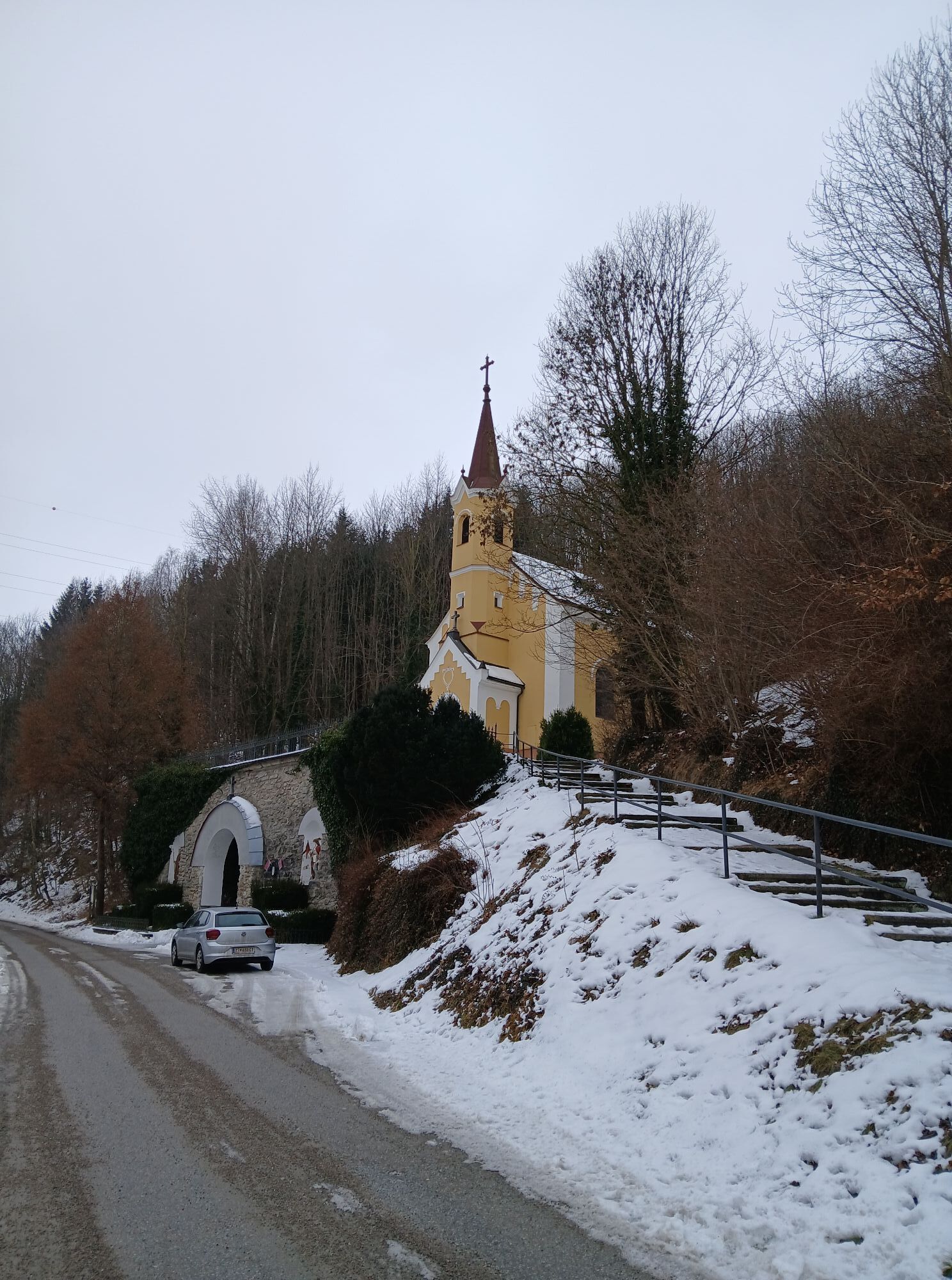
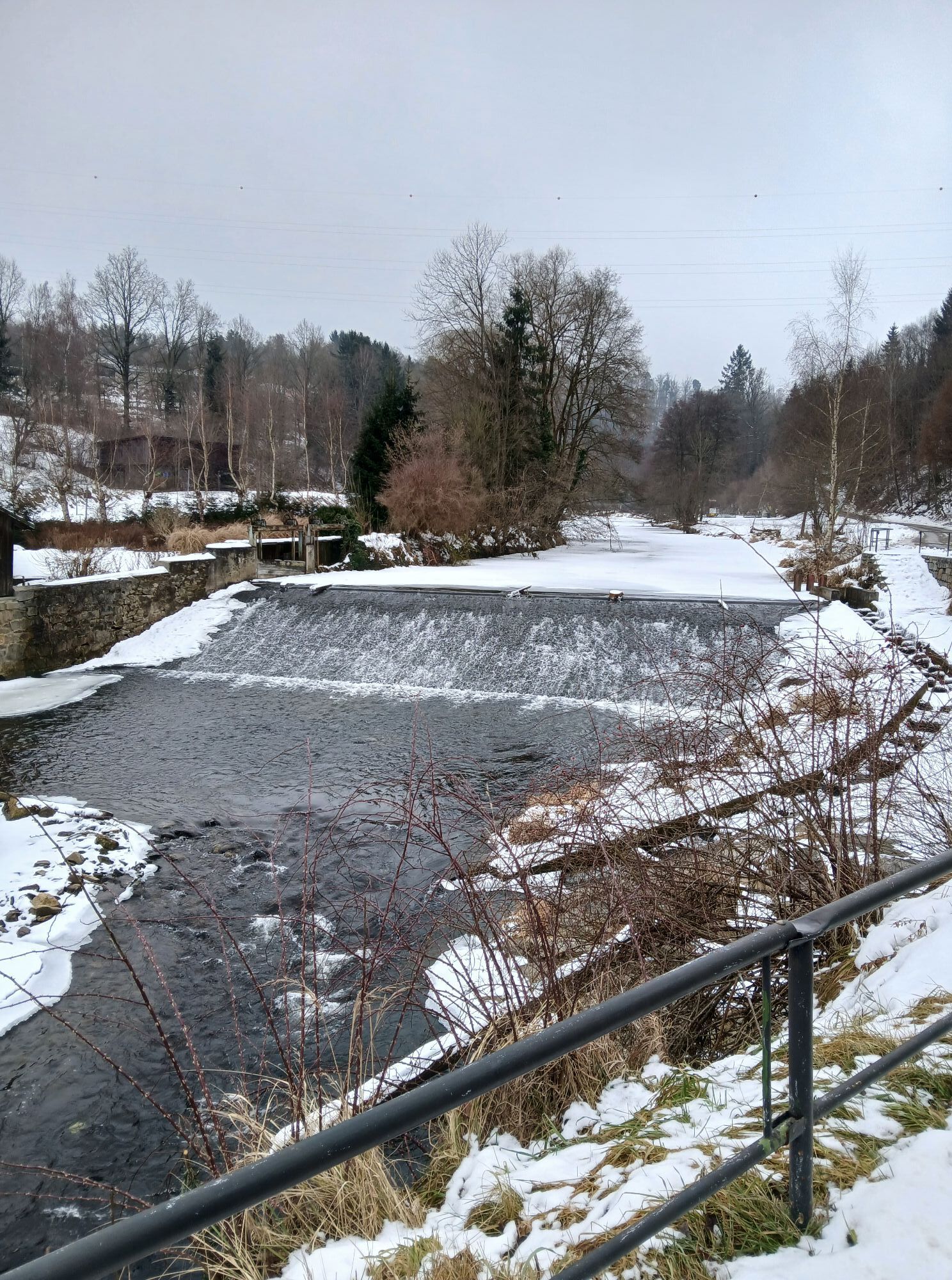
The Bernhardiweg is a pilgrimage route in the Waldviertel, Lower Austria, named after Saint Bernard of Clairvaux. It connects several historic and spiritual places and invites you to discover the rich...
<p>The Bernhardiweg is a pilgrimage route in the Waldviertel, Lower Austria, named after Saint Bernard of Clairvaux. It connects several historic and spiritual places and invites you to discover the rich history and the scenic beauty of the region.</p>

<p><strong>Groß Gerungs - Etzen</strong><br >The exact route description from Groß Gerungs to Etzen can be found here: https:/www.zwalk.at/bernhardiweg-gross-gerungs-etzen/ </p><p><strong>Etzen - Rosenau Castle</strong><br >The exact route description from Etzen to Rosenau Castle can be found here: https:/www.zwalk.at/bernhardiweg-etzen-schloss-rosenau/ </p><p><strong>Rosenau Castle - Zwettl </strong><br >The exact route description from Rosenau Castle to Zwettl can be found here: https:/www.zwalk.at/bernhardiweg-schloss-rosenau-zwettl/ </p><p><strong>Zwettl - Zwettl Abbey</strong><br >The exact route description from Zwettl to Zwettl Abbey can be found here: https:/www.zwalk.at/bernhardiweg-zwettl-stift-zwettl/ </p>
<p>Sturdy footwear, functional clothing, sun and rain protection, map material, if necessary telescopic poles, first aid kit (blister plasters), sufficient provisions (snacks, muesli bars, fruit, water).</p>
<p>Make sure when choosing your route that it matches your fitness level. Check if the catering establishments you want to visit along the way are open. Pack your charged mobile phone and map material in your backpack.</p>
<p>Find the best and fastest way to the start point of the route using the route planner: www.google.at/maps </p>
<p>All information about all bus and train lines to the Waldviertel can be found at <a href="www.vor.at">www.vor.at</a> or at <a href="www.oebb.at">www.oebb.at</... </p>
Waldviertel Tourism
3910 Zwettl, Sparkassenplatz 1/2/2
(T) +43 2822 54109
(E) info@waldviertel.at

Oblíbené prohlídky v okolí
-
4.5
Teddybear Trail Lohnbachfall
světloTematická stezka 4.41 km -
4.3
TiWaLi Kamptal-Weißenbach-Runde
světloTuristika 10.6 km -
4.6
Rappottenstein
světloTuristika 10.1 km -
4.7
Höllfall und Lohnbachfall
Turistika 13.8 km -
4.3
Kinzenschlag hiking trail No. 42
středníTuristika 13.0 km -
4.2
Stone Pyramid Hiking Trail
středníTematická stezka 10.8 km -
4.5
Roiten - Satzling - Hoher Stein - Gasthaus König
středníTuristika 9.89 km -
5.0
Kampschlucht u. Torbogen
světloTuristika 14.8 km -
Weltkugel-Wanderweg Nr. 31
středníTuristika 19.5 km -
4.3
Klauskapelle hiking route no. 36
středníTuristika 9.85 km

Pěší turistika a stopování


Nenechte si ujít nabídky a inspiraci pro vaši příští dovolenou
Vaše e-mailová adresa byl přidán do poštovního seznamu.