Weißenkirchen i.d. Wachau - Pfarrkirche Weißenkirchen - Weißenkirchen in der Wachau - Buschandlwand
světlo
Navigace na stránkách
Navigace na stránkách
Pořiďte si tuto prohlídku do mobilního telefonu
Weißenkirchen i.d. Wachau - Pfarrkirche Weißenkirchen - Weißenkirchen in der Wachau - Buschandlwand
světlo
Mountainbike
15.22
km
Naskenujte QR kód a spusťte navigaci v aplikaci bergfex.

Pěší turistika a stopování


Weißenkirchen i.d. Wachau - Pfarrkirche Weißenkirchen - Weißenkirchen in der Wachau - Buschandlwand
světlo
Vzdálenost
15.22
km
Doba trvání
01:58
h
Ascent
486
hm
Hladina moře
202 -
721
m
Stažení skladby
Weißenkirchen i.d. Wachau - Pfarrkirche Weißenkirchen - Weißenkirchen in der Wachau - Buschandlwand
světlo
Mountainbike
15.22
km
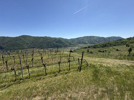
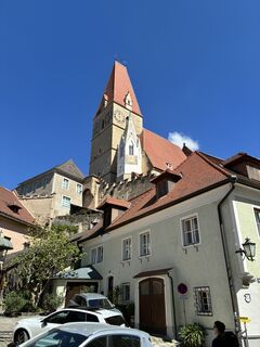
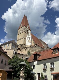
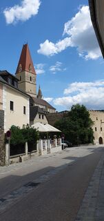
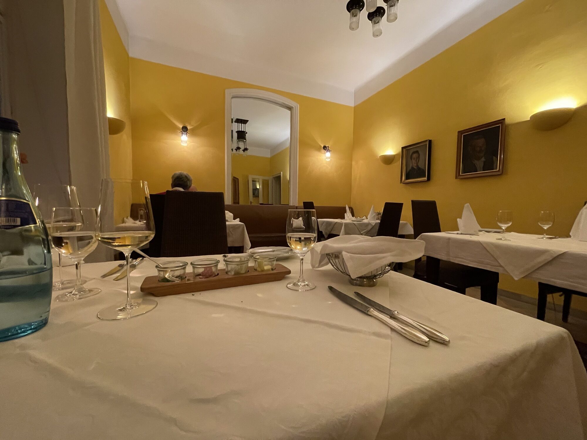
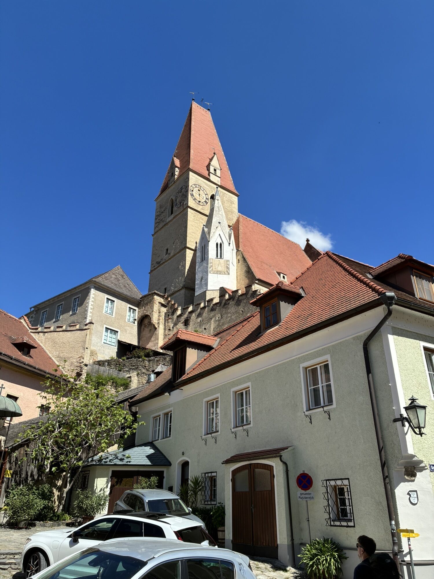
Fotografie našich uživatelů
-
 © Claudia MaurerVytvořeno dne 15.07.2025
 -
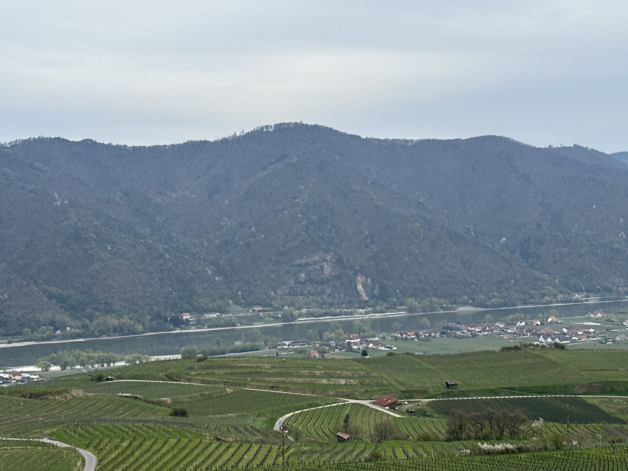
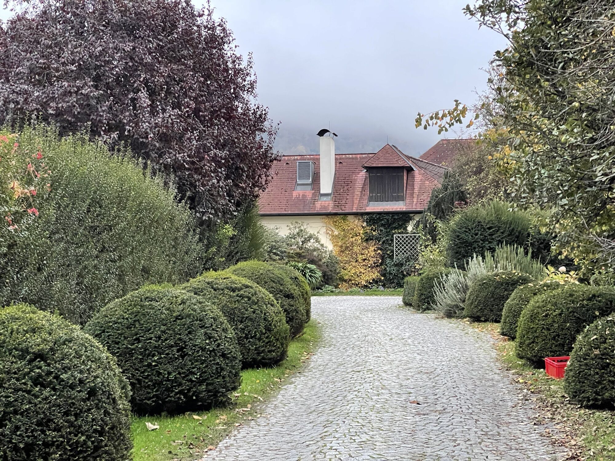
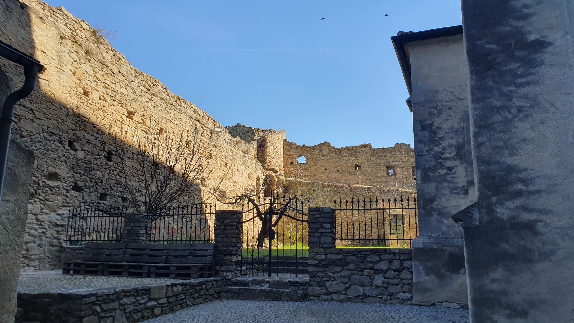
 © Stefan99Vytvořeno dne 13.04.2025
 -
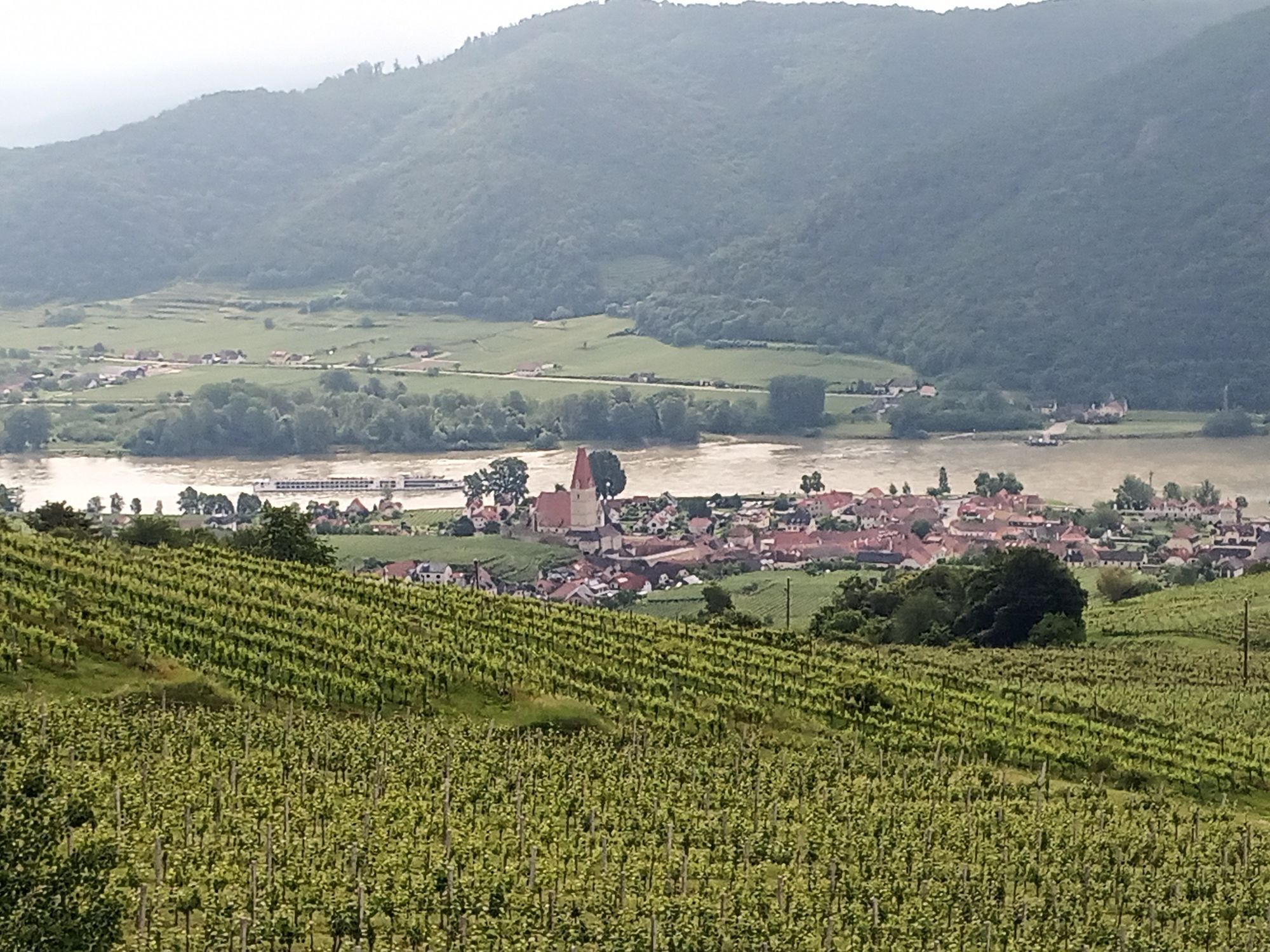
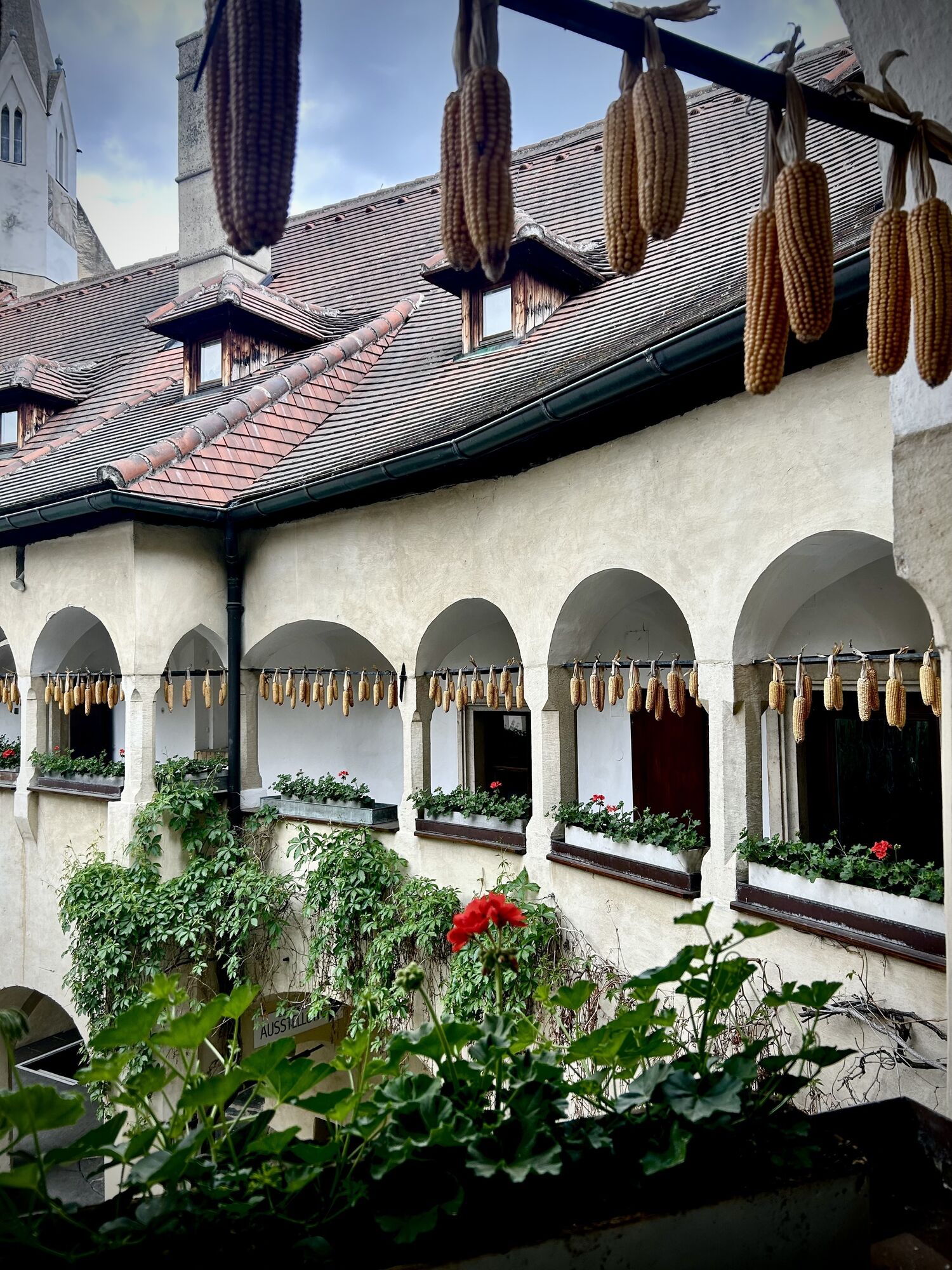
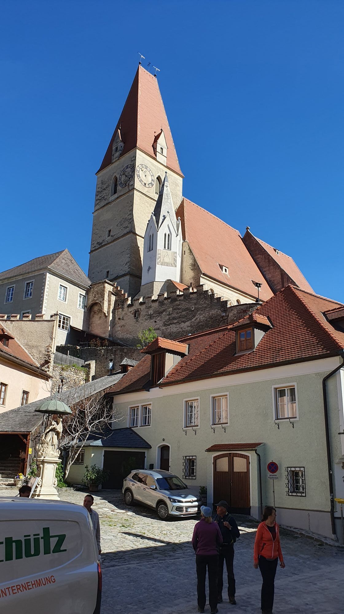
 © Erwin KrumböckVytvořeno dne 26.05.2024
 -
 © Erwin KrumböckVytvořeno dne 26.05.2024
 -
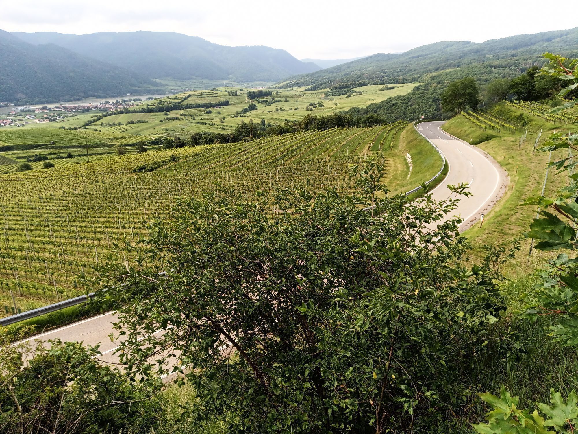
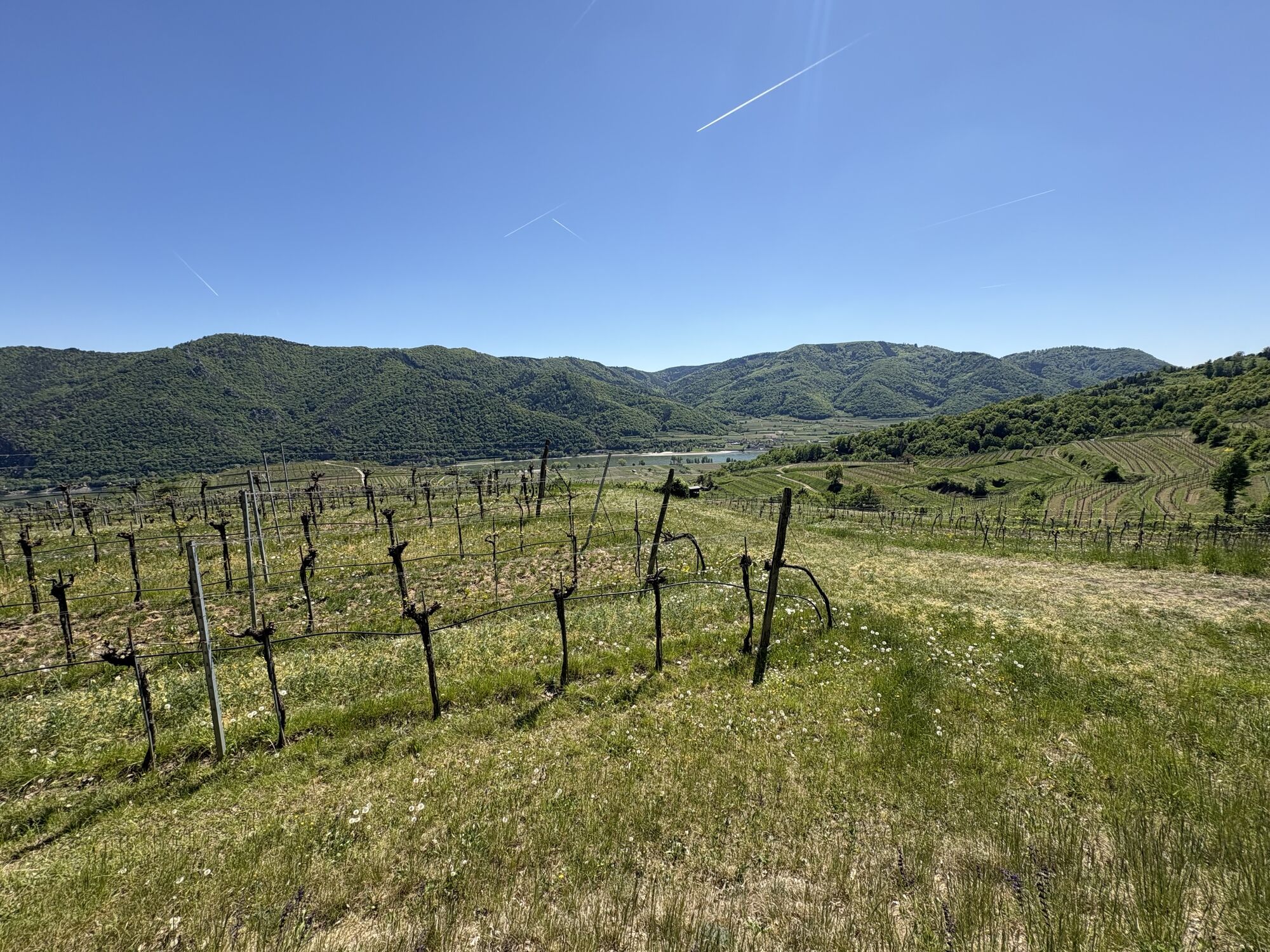
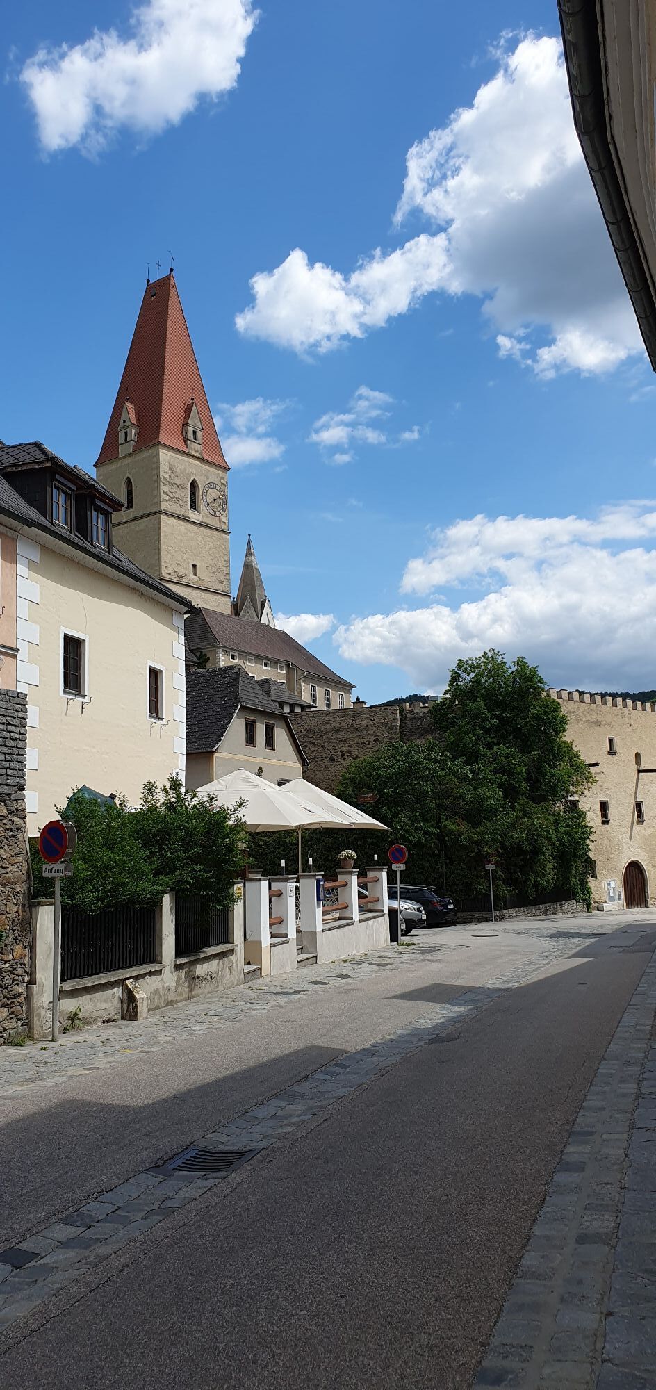
 © Harald SeisenbacherVytvořeno dne 28.10.2022
 -
 © Harald SeisenbacherVytvořeno dne 28.10.2022
 -
 © Harald SeisenbacherVytvořeno dne 28.10.2022
 -
 © Harald SeisenbacherVytvořeno dne 28.10.2022
 -
 © Harald SeisenbacherVytvořeno dne 28.10.2022
 -

 © hasibarmVytvořeno dne 27.10.2022
 -
 © Kellner HeidiVytvořeno dne 09.05.2026
 -
 © MoonytigerVytvořeno dne 02.05.2026
 -
 © glanzisVytvořeno dne 01.05.2026
 -

 © Egon AnselmVytvořeno dne 07.04.2026
 -
 © Egon AnselmVytvořeno dne 07.04.2026
 -
 © Monika Beringer ErmerVytvořeno dne 31.07.2025
 -
 © En7oVytvořeno dne 27.05.2025
 -

 © Launga76Vytvořeno dne 09.03.2025
 -
 © Launga76Vytvořeno dne 09.03.2025


Trasa
Weißenkirchen i.d. Wachau
(205 m)
Železniční stanice
0.0 km
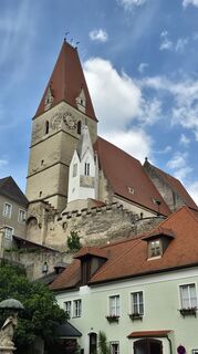
Pfarrkirche Weißenkirchen
(224 m)
Místo konání bohoslužeb
0.2 km
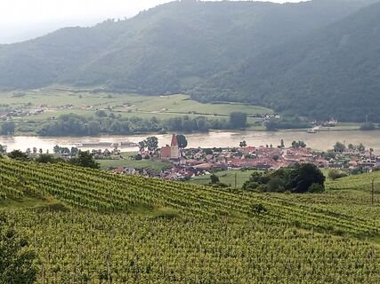
Weißenkirchen in der Wachau
(209 m)
Vesnice
0.3 km
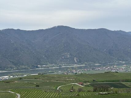
Buschandlwand
(741 m)
Summit
8.3 km
Wösendorf in der Wachau
(207 m)
Vesnice
12.5 km
Weißenkirchen in der Wachau
(209 m)
Vesnice
14.7 km
Pfarrkirche Weißenkirchen
(224 m)
Místo konání bohoslužeb
14.9 km
Trasa
Weißenkirchen i.d. Wachau - Pfarrkirche Weißenkirchen - Weißenkirchen in der Wachau - Buschandlwand
světlo
Mountainbike
15.22
km
Weißenkirchen i.d. Wachau
(205 m)
Železniční stanice
0.0 km
Pfarrkirche Weißenkirchen
(224 m)
Místo konání bohoslužeb
0.2 km
Weißenkirchen in der Wachau
(209 m)
Vesnice
0.3 km
Taberreith
(464 m)
Úhel pohledu
3.3 km
Seiber
(634 m)
Vypořádání
5.3 km
Buschandlwand
(741 m)
Summit
8.3 km
Wösendorf in der Wachau
(207 m)
Vesnice
12.5 km
Joching
(205 m)
Vypořádání
13.2 km
Weißenkirchen in der Wachau
(209 m)
Vesnice
14.7 km
Pfarrkirche Weißenkirchen
(224 m)
Místo konání bohoslužeb
14.9 km
Weißenkirchen i.d. Wachau
(205 m)
Železniční stanice
15.1 km
Oceňování
5
(0)
4
(1)
3
(0)
2
(0)
1
(1)
Oblíbené prohlídky v okolí
-
4.5
Welterbesteig Wachau 02: Dürnstein-Weißenkirchen
světlodálková pěší trasa 15.9 km -
4.5
Welterbesteig Wachau 03: Weißenkirchen-Spitz
světlodálková pěší trasa 10.4 km -
4.6
Welterbesteig Wachau 01: Krems-Dürnstein
světlodálková pěší trasa 12.3 km -
4.9
Vogelbergsteig -Kanzel- Fesselhütte - Ruine Dürnstein zum Heurigen in Furth
středníTuristika 7.59 km -
4.7
Wachau: Seekopf - Hirschwand
středníTuristika 10.4 km -
4.6
Krems (Welterbesteig) - Dürnstein - Vogelbergsteig - Kanzel - Fesslhütte - Krems
středníTuristika 18.0 km -
4.5
Panoramaweg Weissenkirchen
světloTuristika 5.04 km -
4.7
Rundhöhenwanderweg Weißenkirchen in der Wachau - Schildhütten - Cholerakreuz - Weißenkirchen
světloTuristika 8.75 km -
4.5
Seekopf und Hirschwand
středníTuristika 2.83 km -
4.5
Maria Langegg - Rote Wand - Hoher Stein - Kastlkreuz
středníTuristika 11.4 km
Pěší turistika a stopování

Více než 550.000 návrhů výletů, podrobné mapy a intuitivní plánovač tras dělají z aplikace nezbytnou výbavu pro všechny milovníky přírody.

Nenechte si ujít nabídky a inspiraci pro vaši příští dovolenou
Přihlaste se k odběru newsletteru
Chyba
Došlo k chybě. Zkuste to prosím znovu.
Děkujeme za vaši registraci
Vaše e-mailová adresa byl přidán do poštovního seznamu.
Zájezdy po celé Evropě
Rakousko
Švýcarsko
Německo
Itálie
Slovenia
Francie
Nizozemsko
Belgie
Polsko
Lichtenštejnsko
Česko
Slovensko
Španělsko
Chorvatsko
Bosna a Hercegovina
Lucembursko
Andorra
Portugal
Iceland
United Kingdom
Ireland
Greece
Albania
North Macedonia
Malta
Norway
Montenegro
Moldova
Kosovo
Hungary
San Marino
Romania
Estonia
Latvia
Belarus
Cyprus
Lithuania
Serbia
Bulgaria
Monaco
Denmark
Sweden
Finland