


Freiwald route
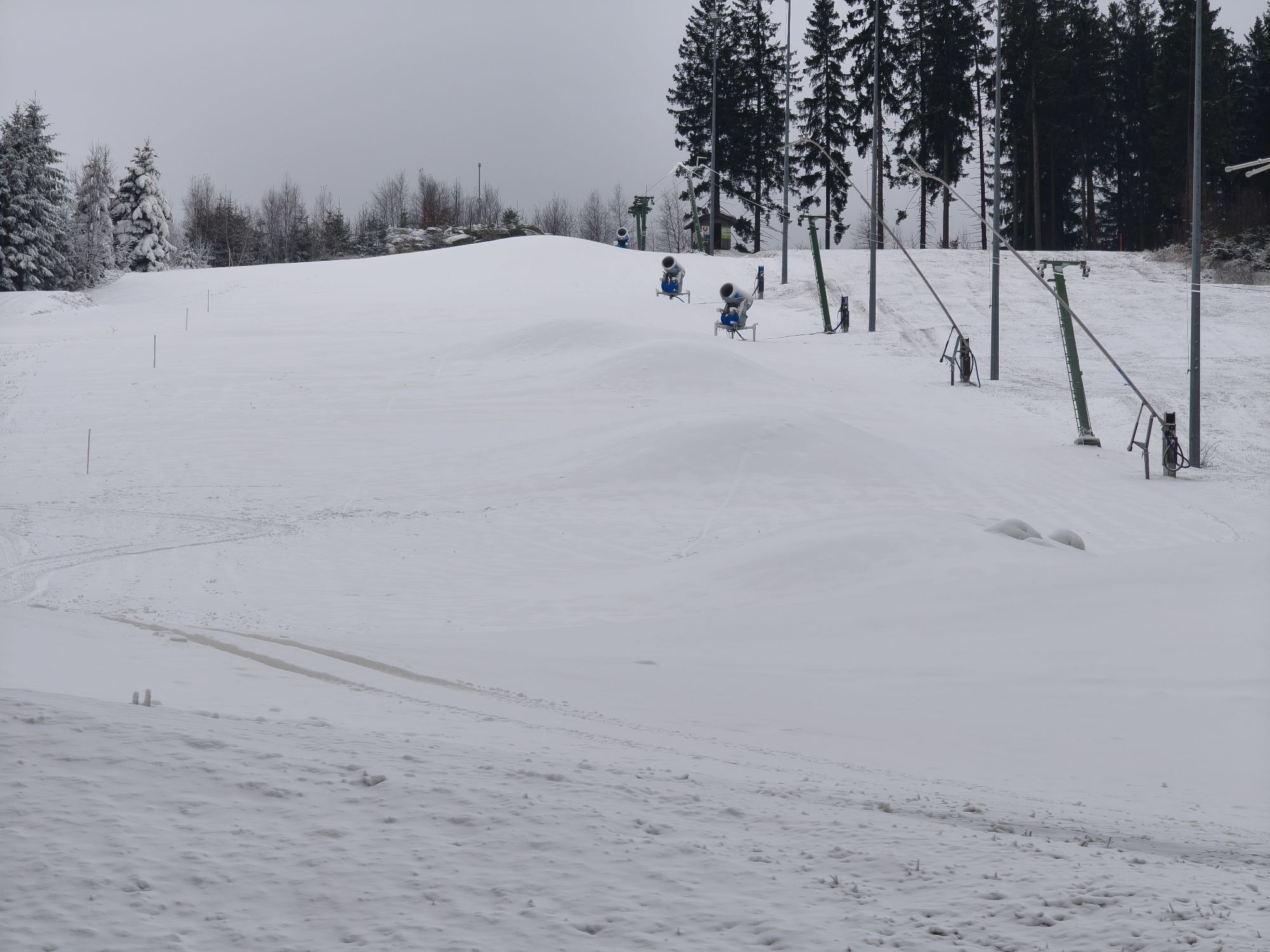

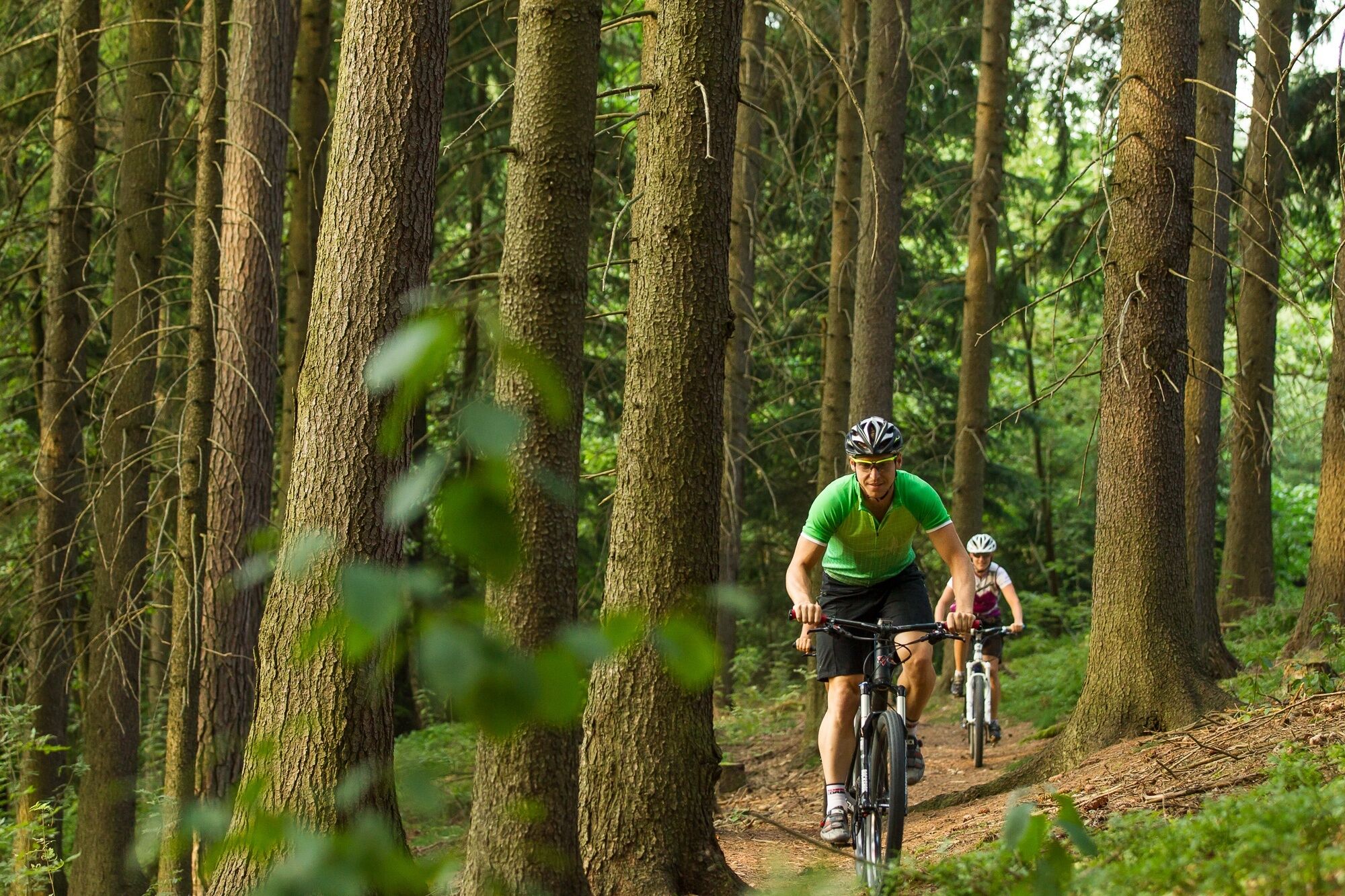
<p>The route starts in the town center of Langschlag, leads over the Höllgraben to Bruderndorf, a section along the Frauenwieser pond route and the Granite Trail to Sperrhof. There it splits again and rises moderately to Sternhof, then goes over the Kuckucksbach to Binderberg, which is also the highest located farm in the Waldviertel. From there it goes via Kohlstatt into the Bruderndorferwald, further near the Kamp river source, where we cross the state border to Upper Austria into Hirschau. From this point, the route runs parallel to the "Tour de Alm" route to Liebenau. From there the route turns back via the Schanz to Lower Austria via Großer Kamp and Bruderndorferwald to Siebenhöf and then via the Bison ranch next to the bison enclosures back to the starting point in Langschlag.</p>
<p>Length: 33 km, altitude difference: 580 m, 14.3 km asphalt, 18.3 km forest road/trail</p>
<p>Coming from St. Pölten take S33 to Krems, then B37 and B38 to Langschlag.</p><p>Coming from Vienna take A22 and S5 to Krems, then B37 and B38 to Langschlag.</p><p>Coming from the west take A1 to Linz, A7 to Unterweitersdorf - then on S10 to the Sandl exit - via B38 to Langschlag</p>
Waldviertel Tourism
3910 Zwettl, Sparkassenplatz 1/2/2
(T) +43 2822 54109
(E) info@waldviertel.at
(I) www.waldviertel.at
Market Town Langschlag
3921 Langschlag, Marktplatz 37
(T) +43 2814 8218
(E) gemeinde@langschlag.gv.at
(I) www.langschlag.at
Webové kamery z prohlídky
Oblíbené prohlídky v okolí
-
4.5
Nebelstein Adventure Hiking Trail
středníTuristika 11.1 km -
3.8
Wandern im Liebenauer Moor
světloTuristika 4.16 km -
4.9
Nebelsteinweg
Turistika 6.98 km -
4.0
Naturparkweg Bad Großpertholz
světloTuristika 7.17 km -
3.4
Zwei-Tausender-Tour Tischberg-Eichelberg
světloTuristika 12.4 km -
4.0
Nordwaldstrecke
Mountainbike 25.1 km -
5.0
Sandl - S2 - Rosenhof Rundweg
světloTuristika 3 km -
4.7
Nebelstein vom Moorheilbad
středníTuristika 12.9 km -
5.0
Liebenau Nr. 31 Kampursprung
světloTuristika 10.3 km -
4.4
Sandl - Rosenhoferteiche Rundweg
světloTuristika 6.40 km
Pěší turistika a stopování


Nenechte si ujít nabídky a inspiraci pro vaši příští dovolenou
Vaše e-mailová adresa byl přidán do poštovního seznamu.