







Hanging Stone route

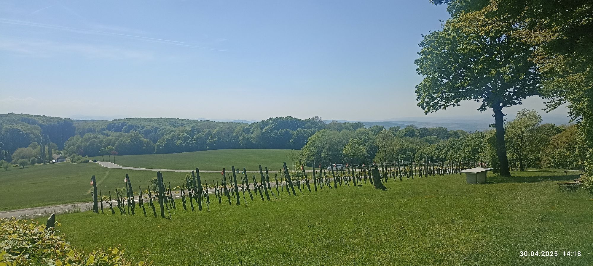
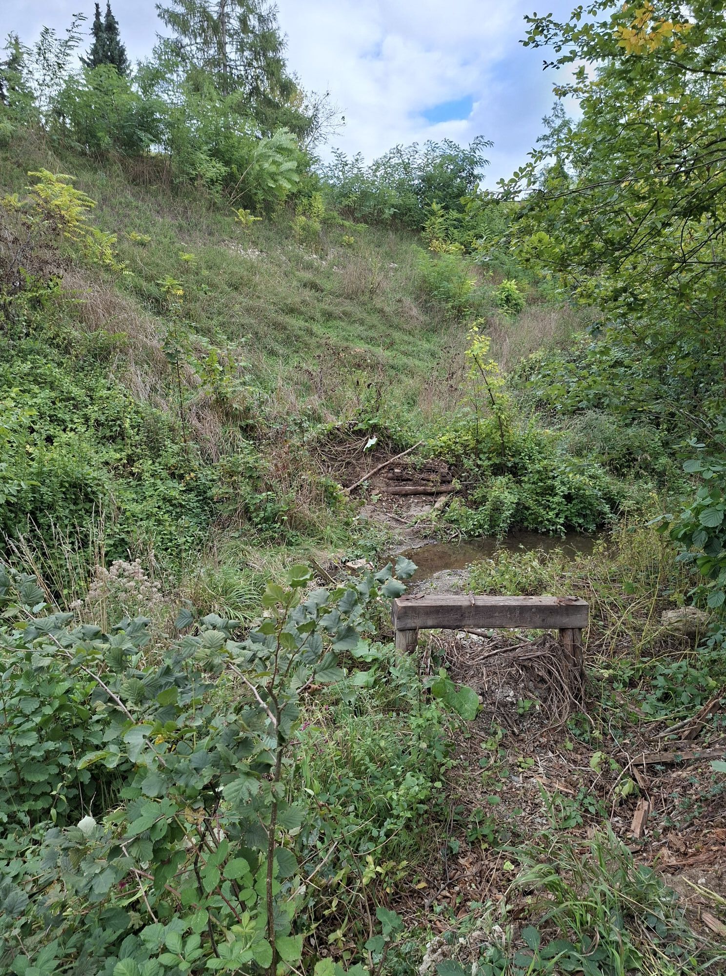
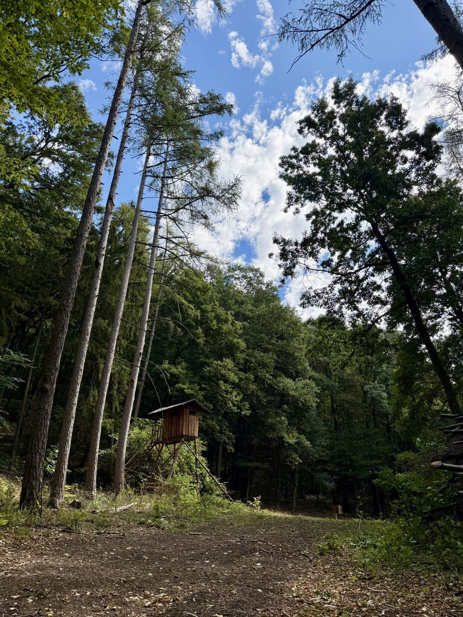
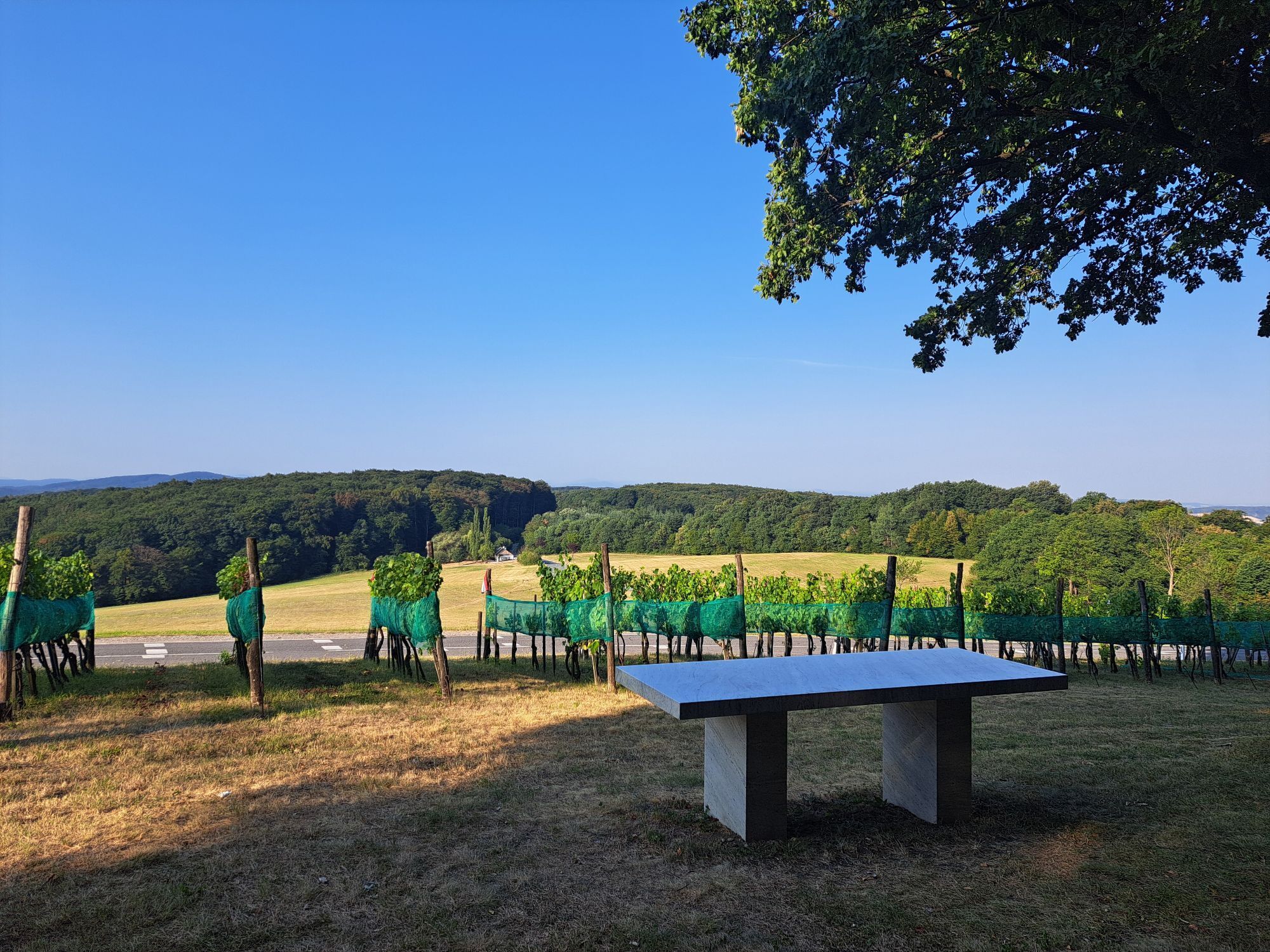
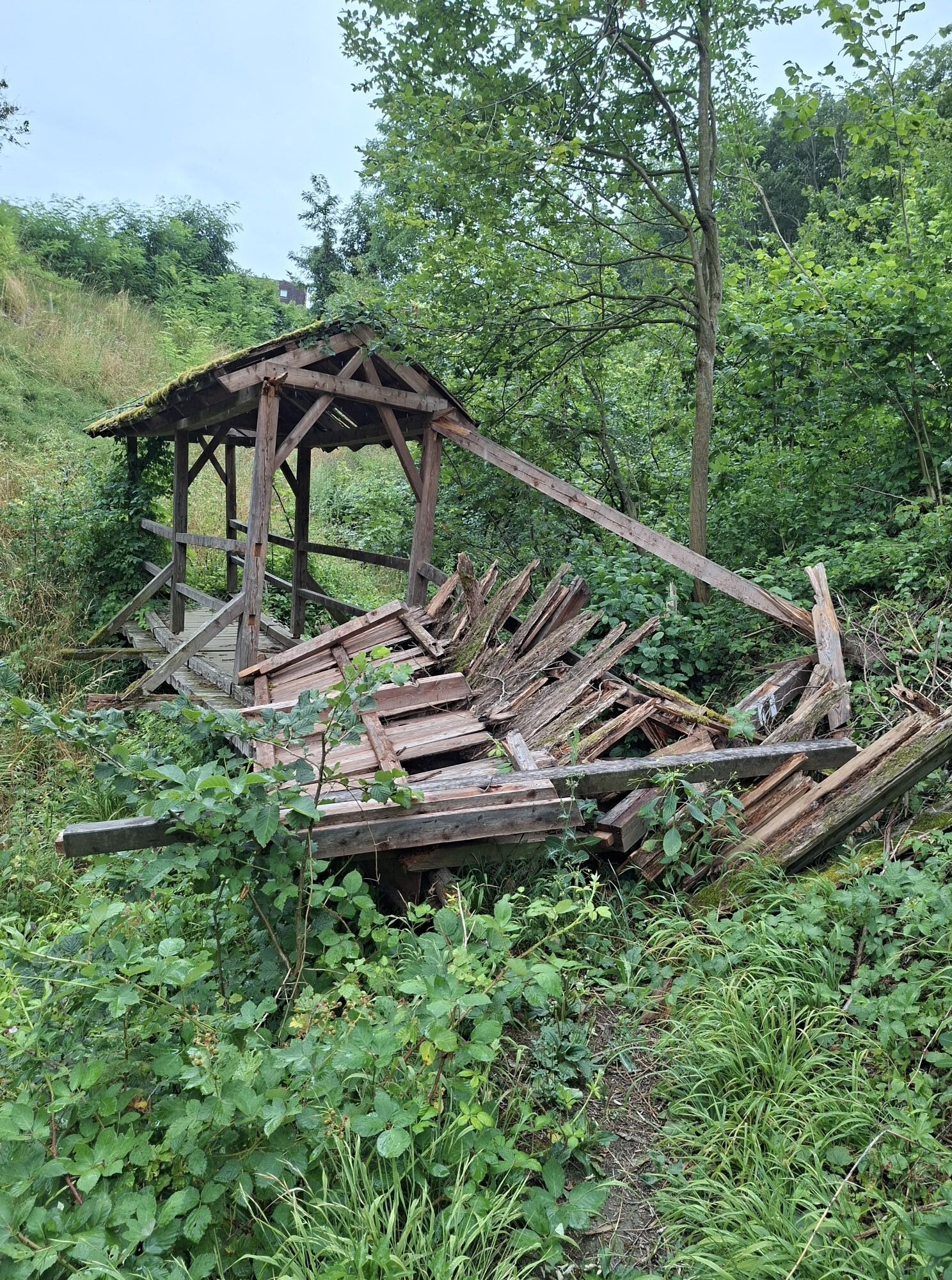
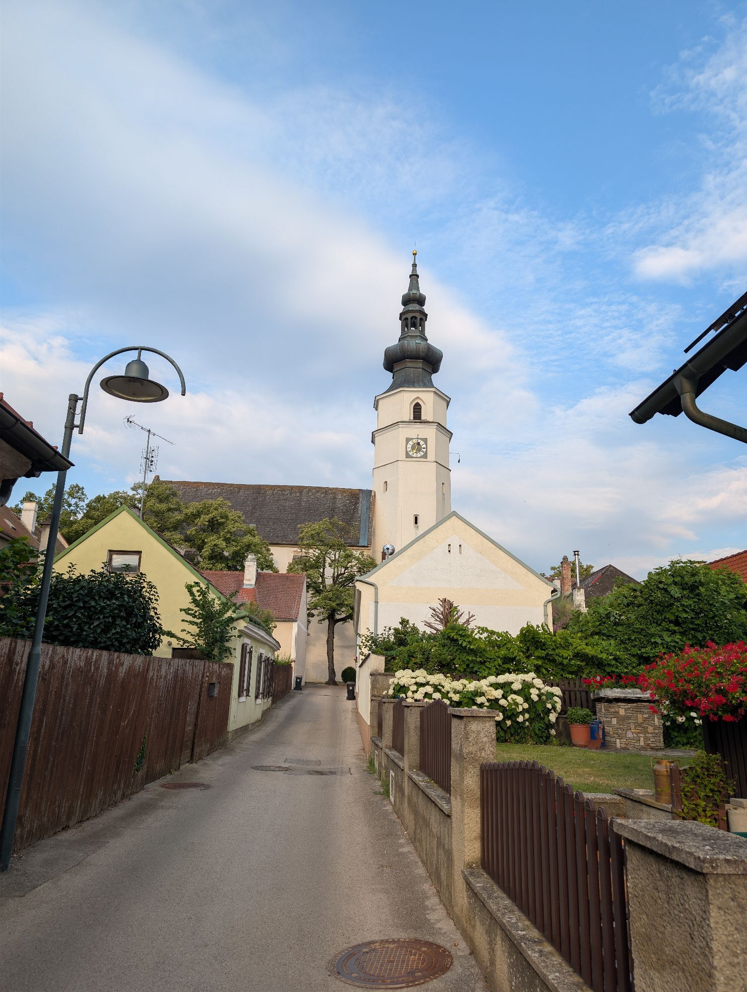
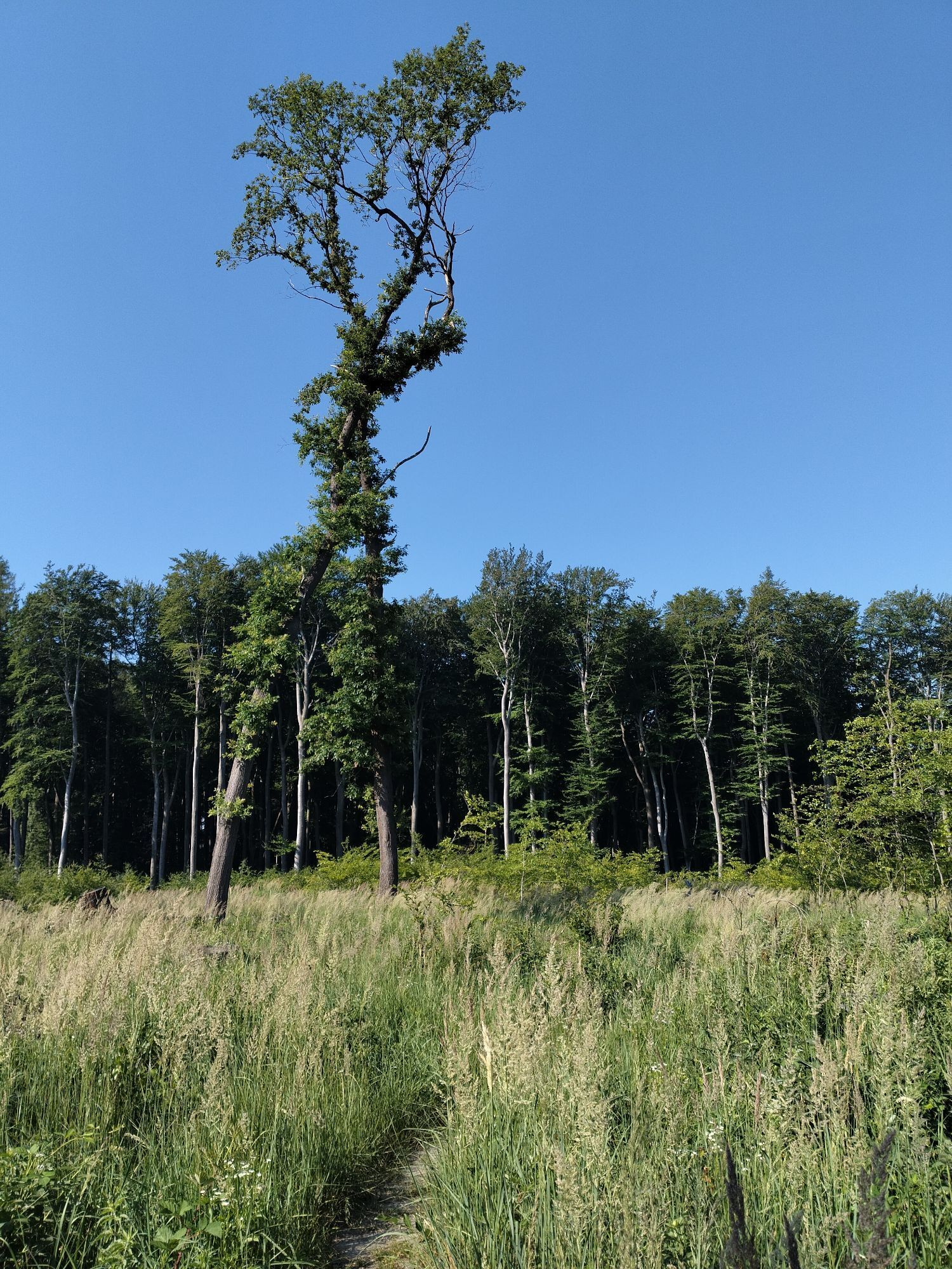
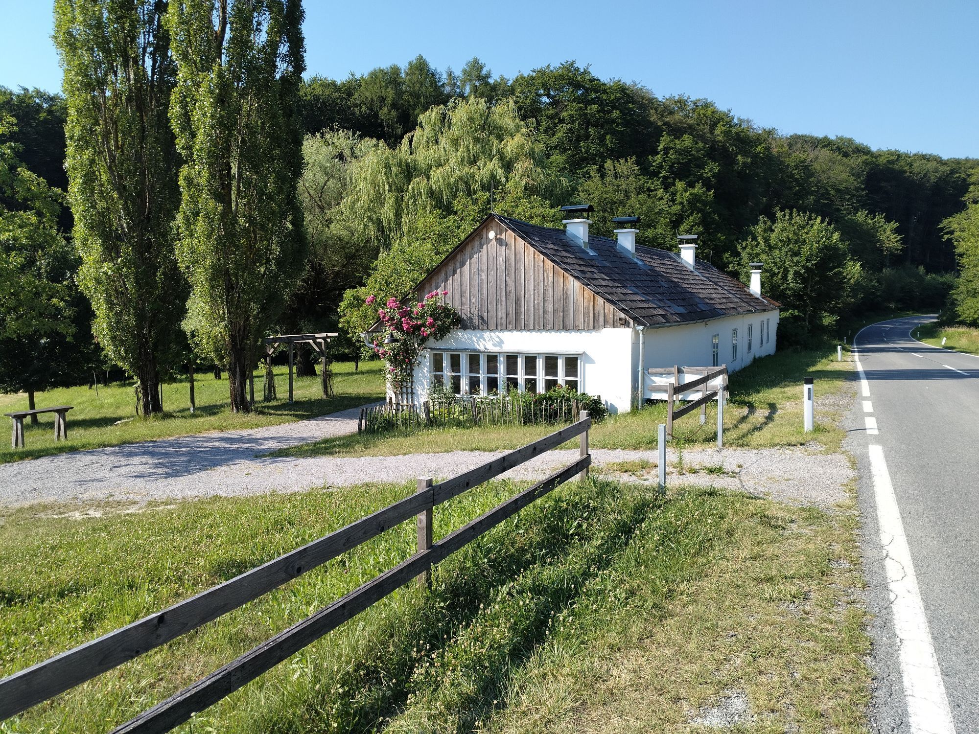
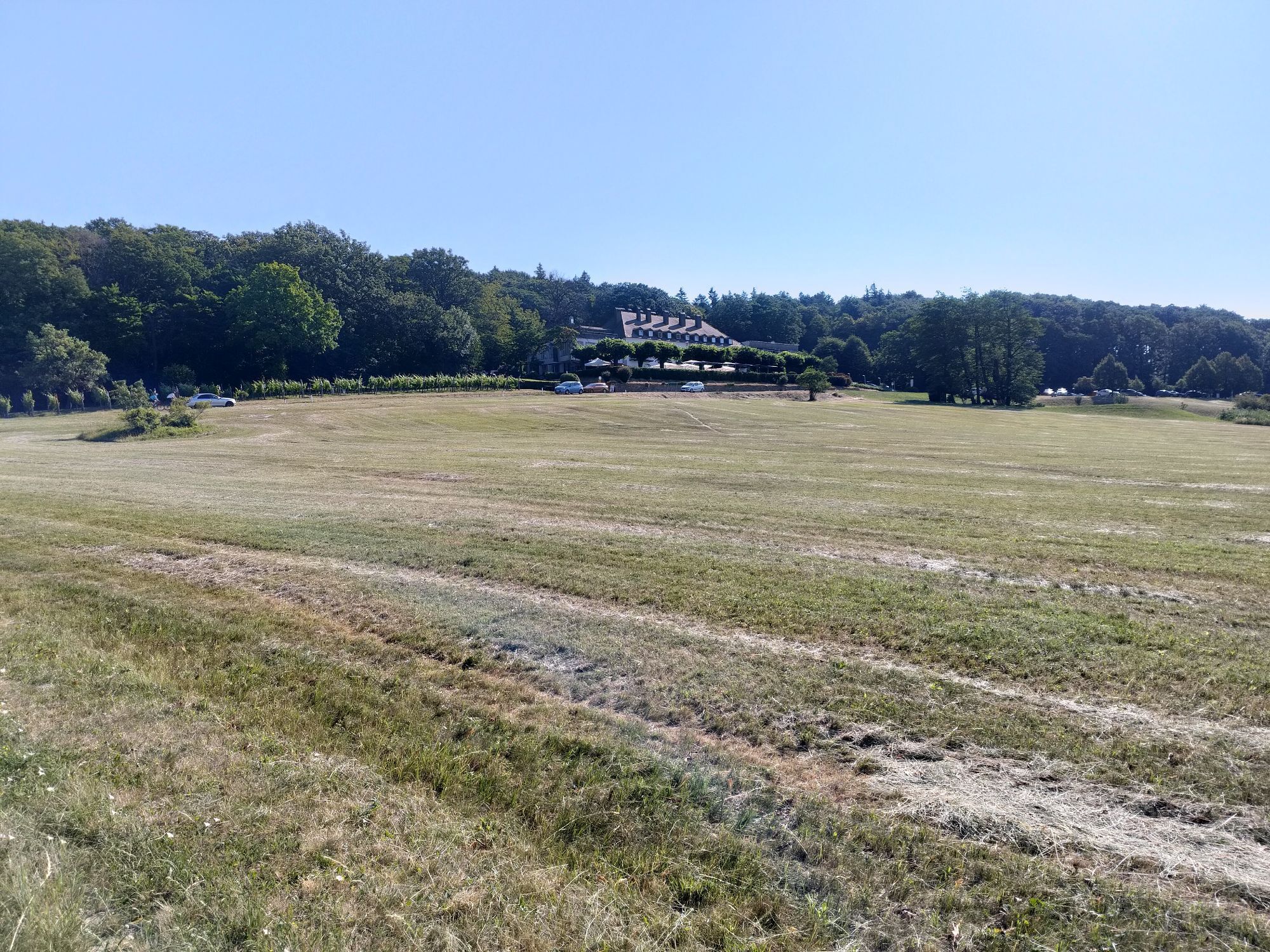
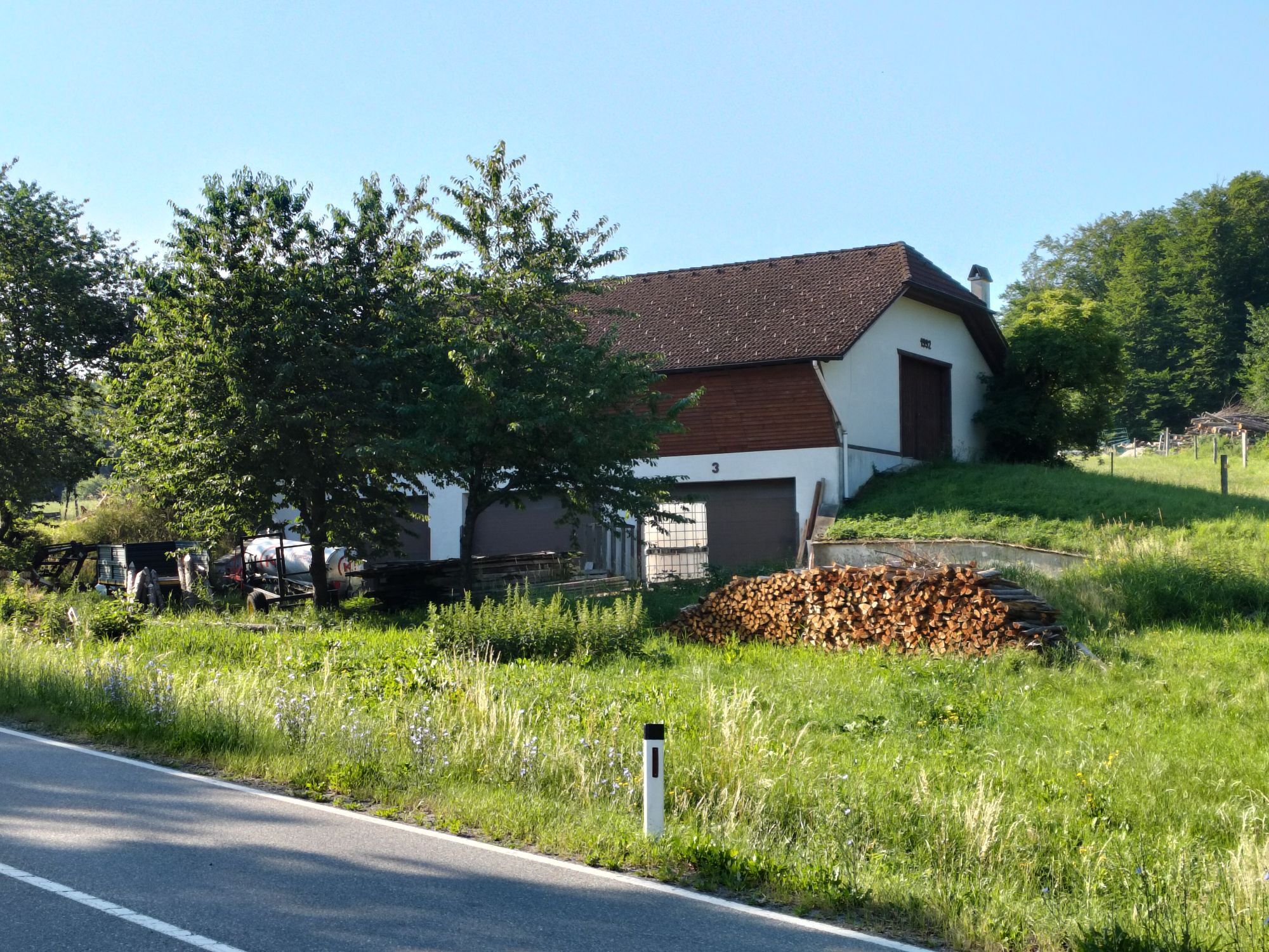
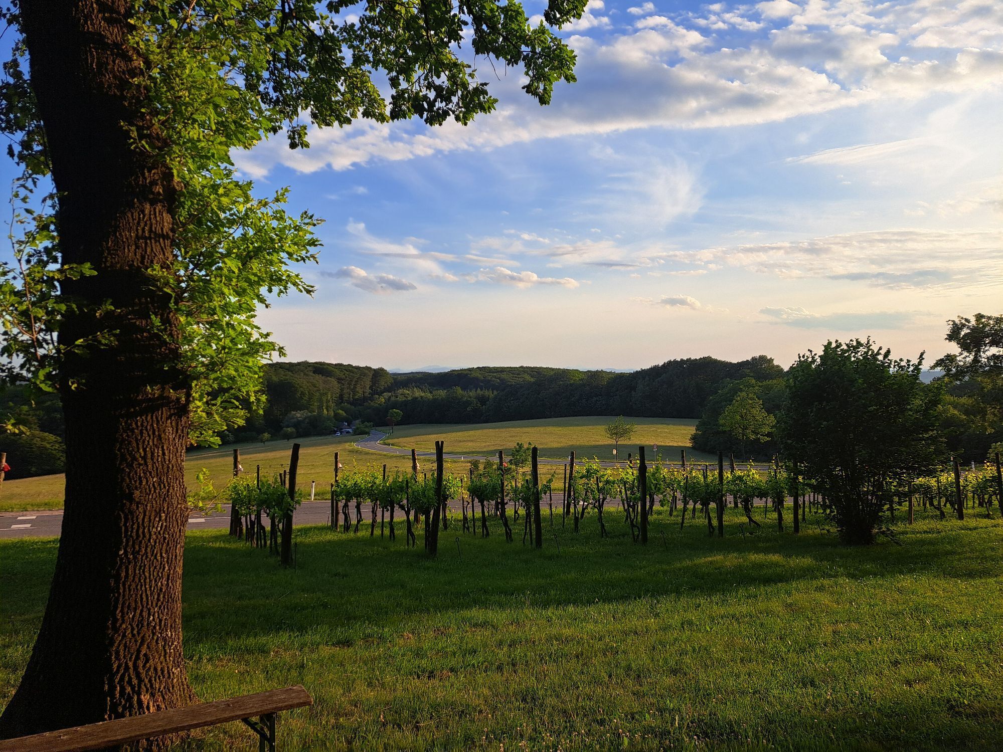
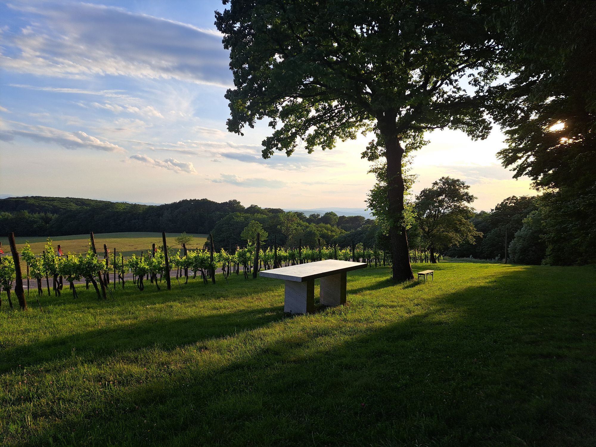
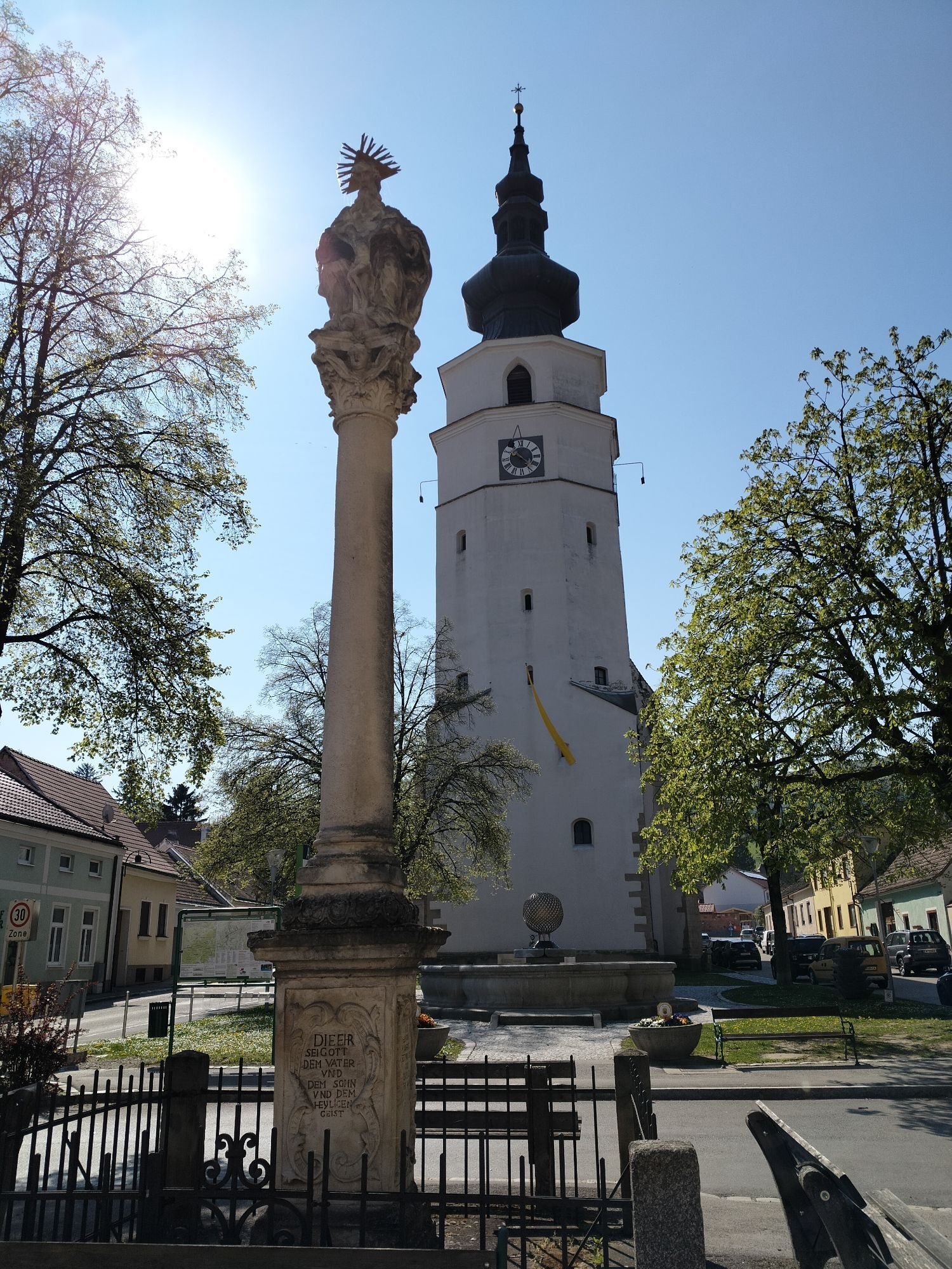
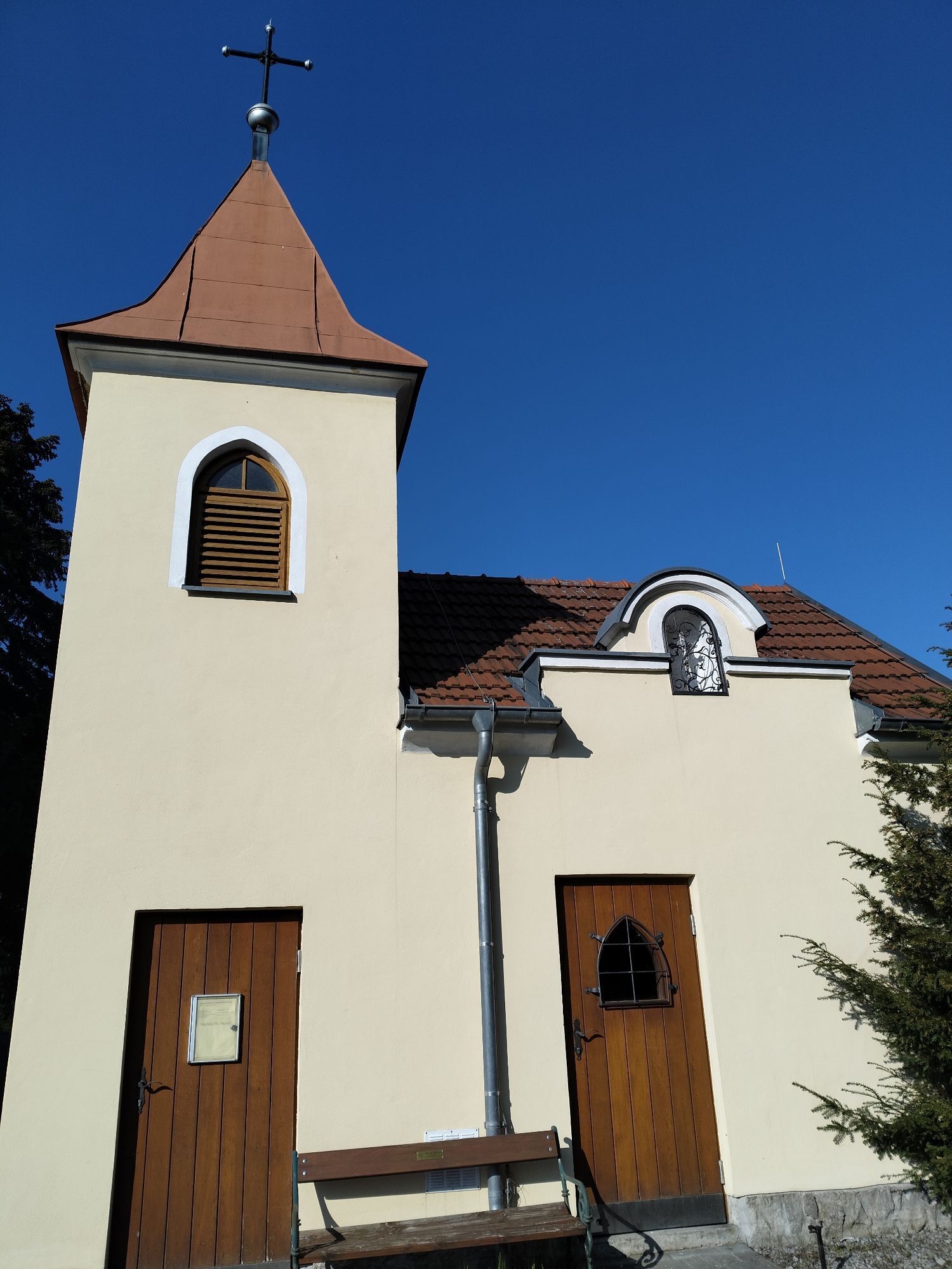
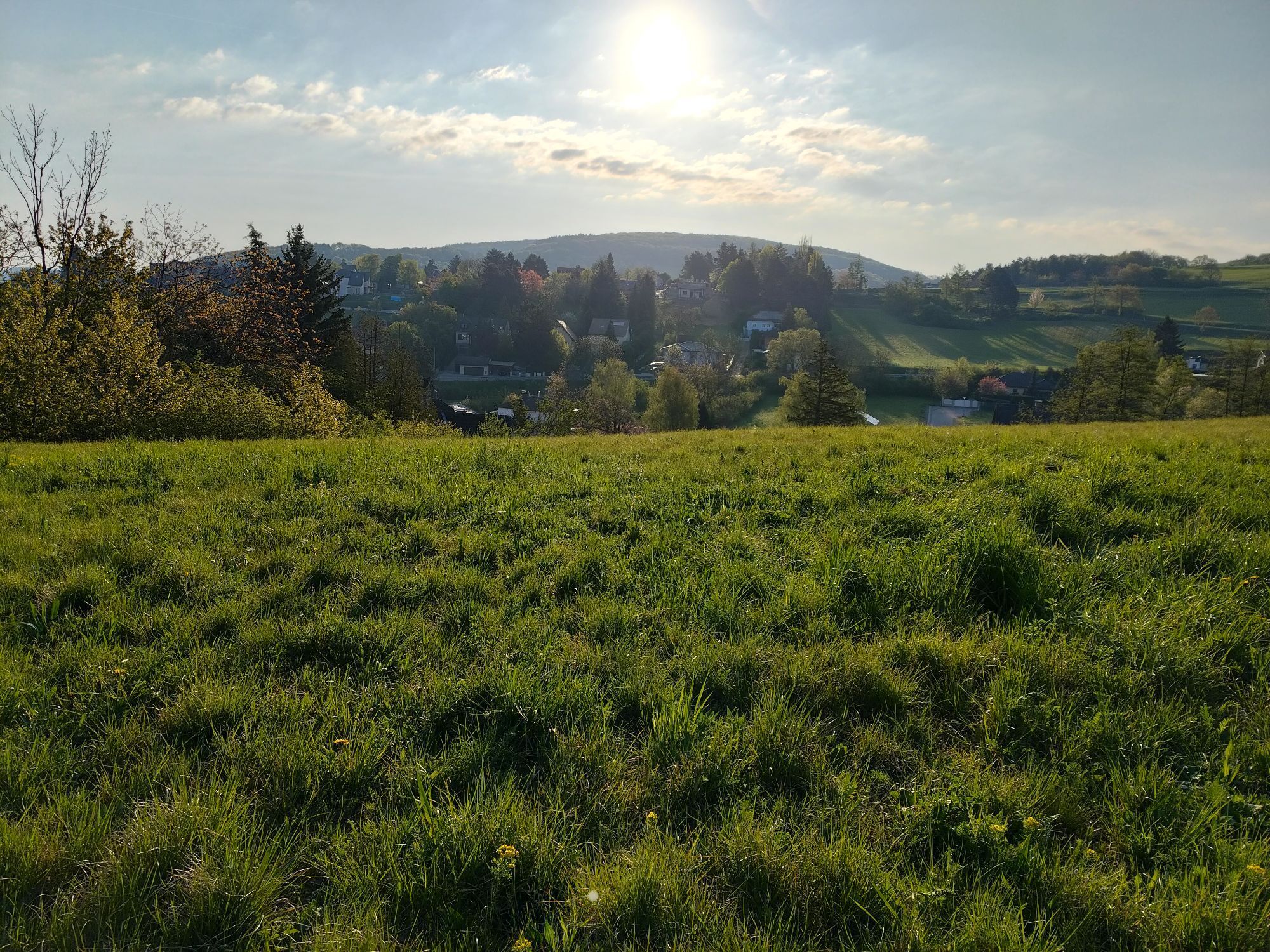
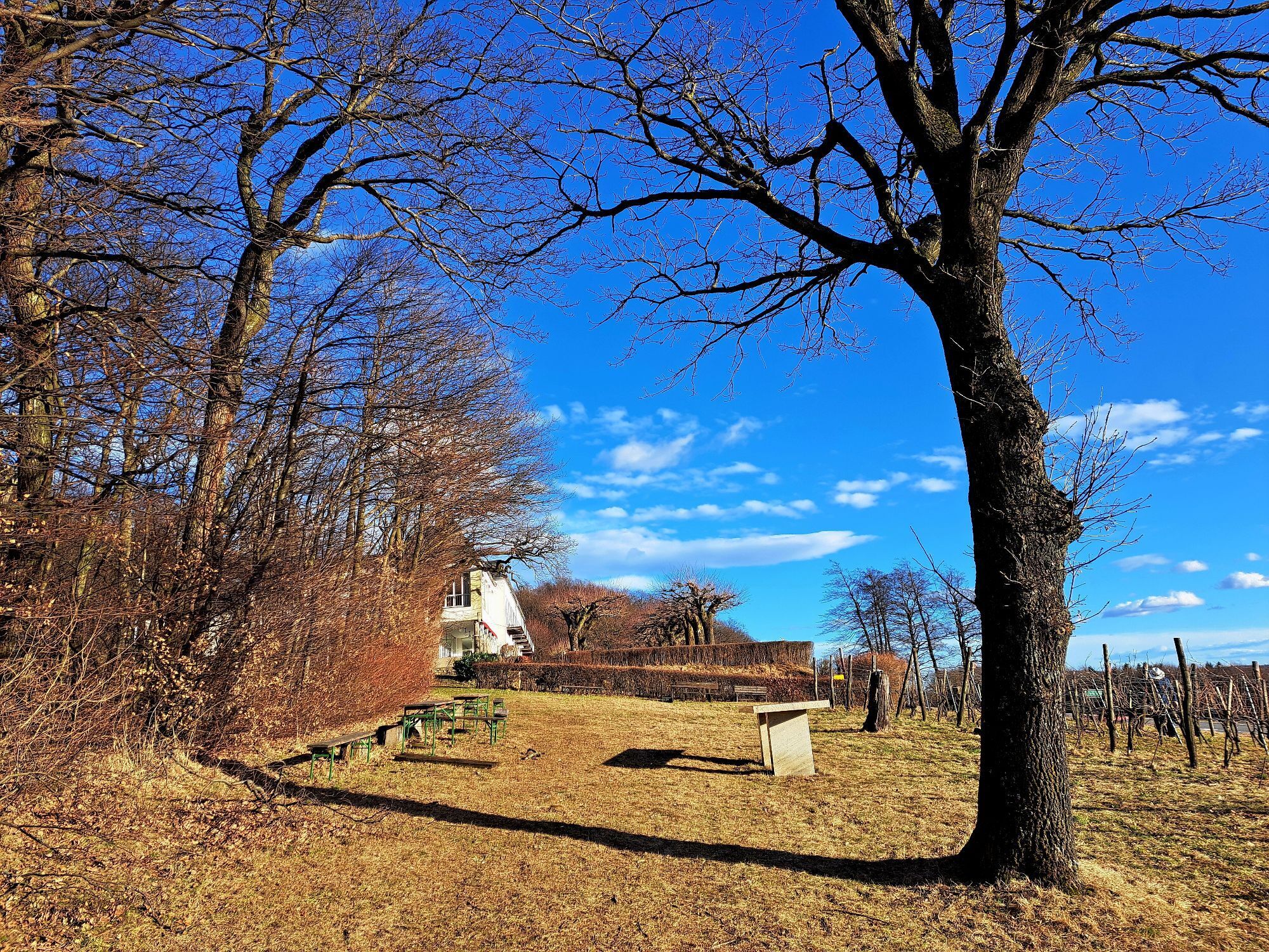
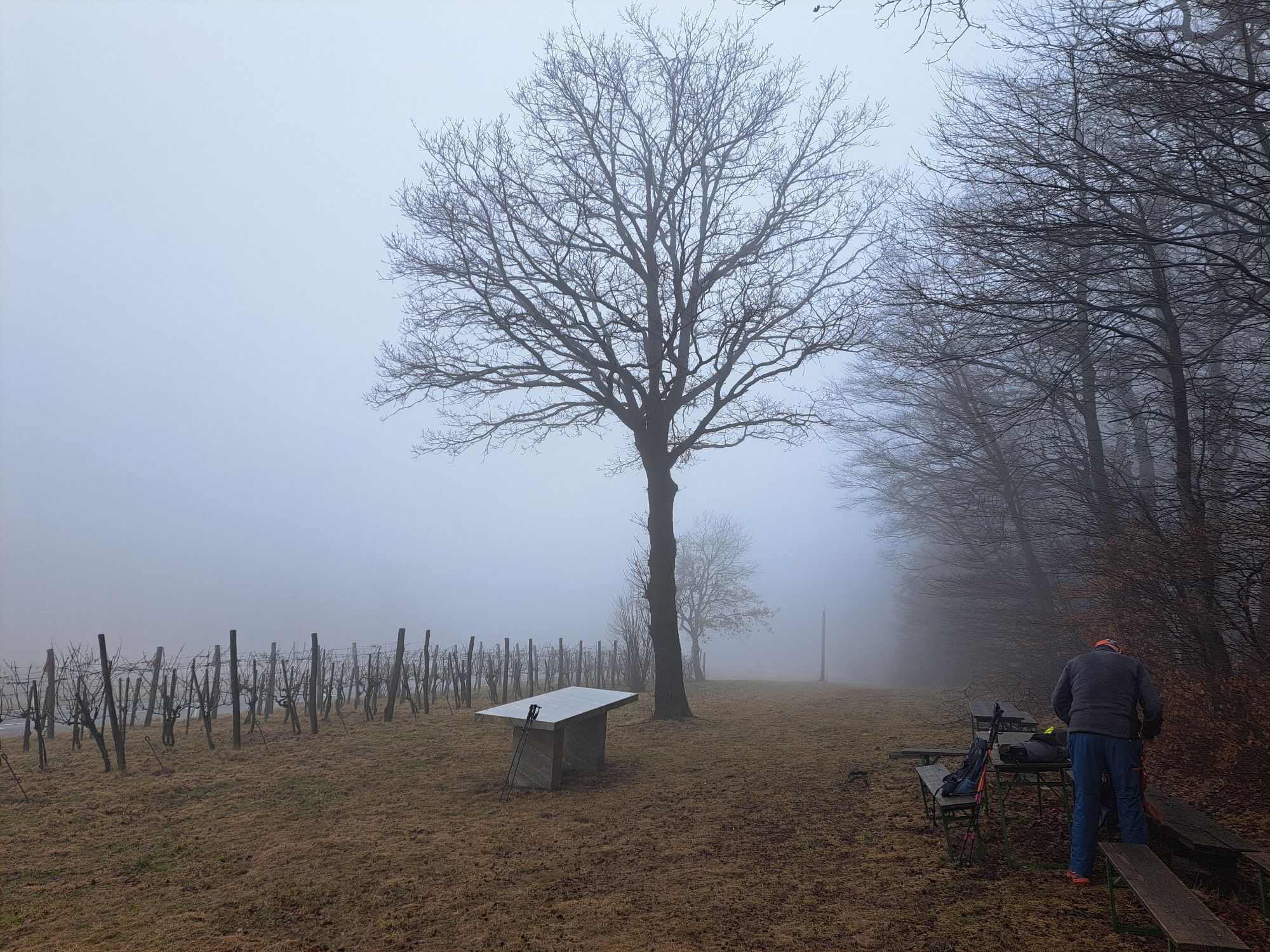
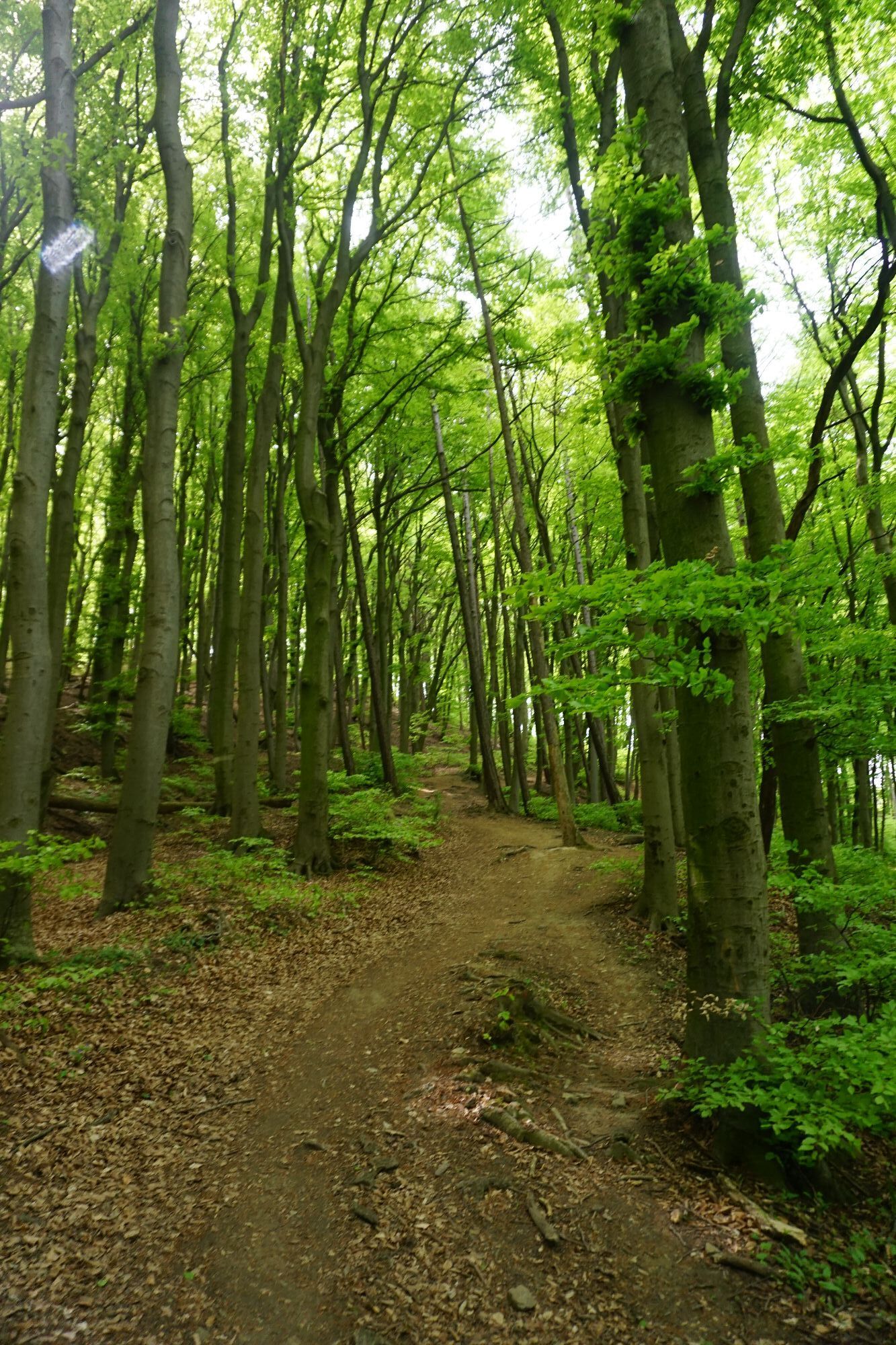
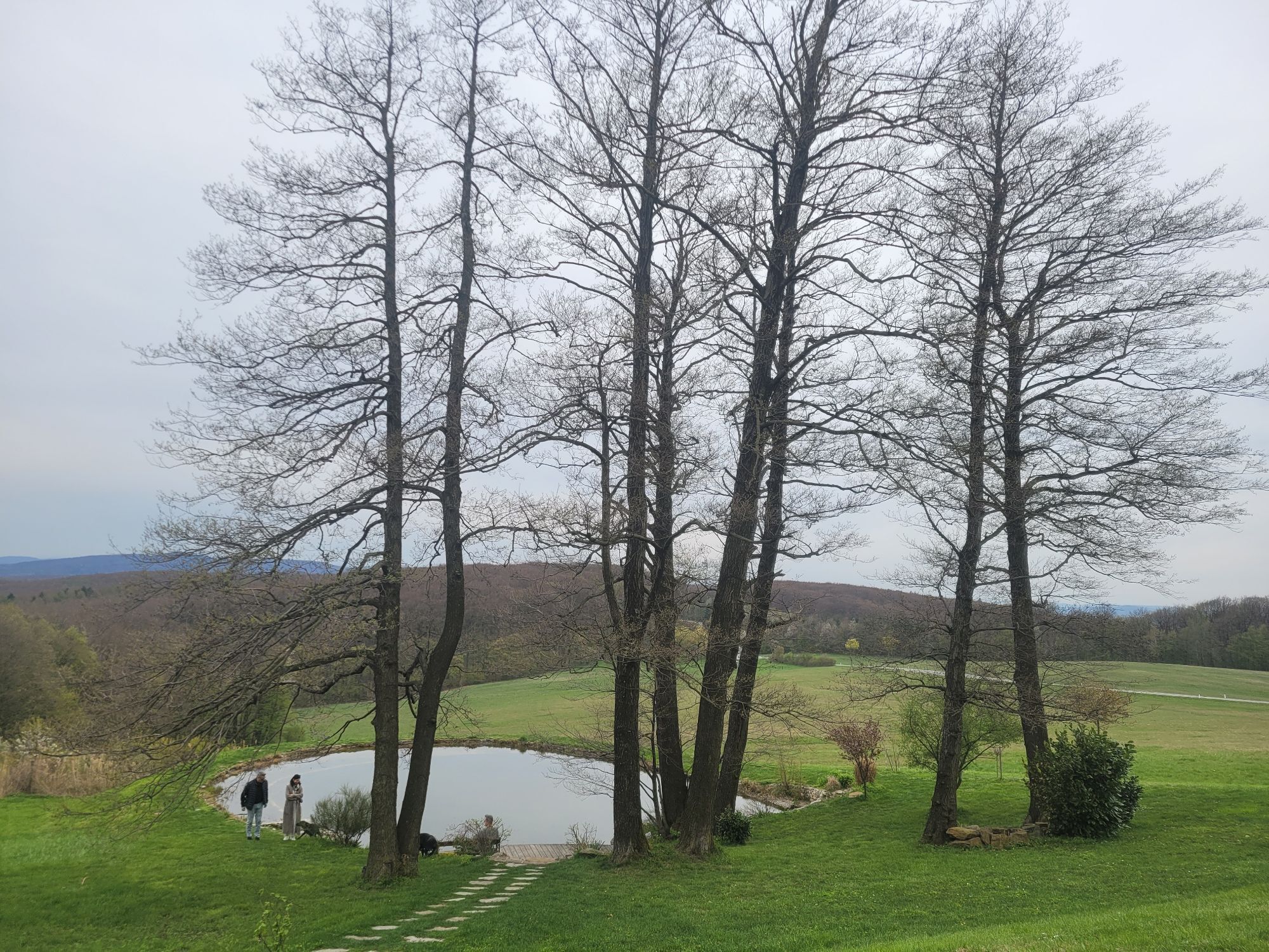
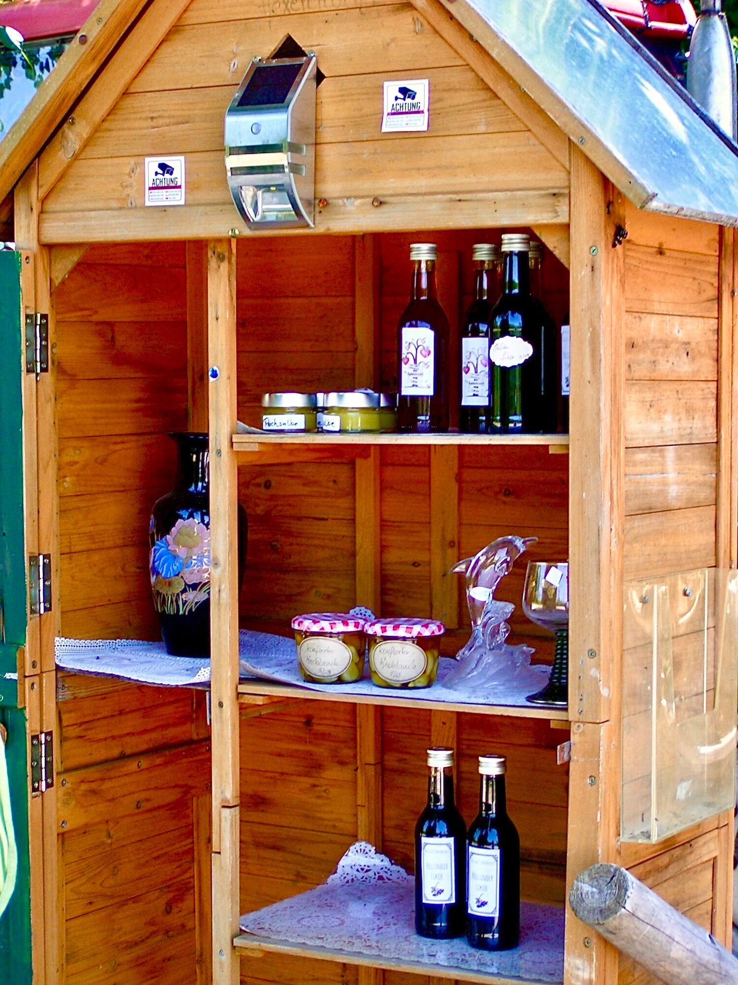
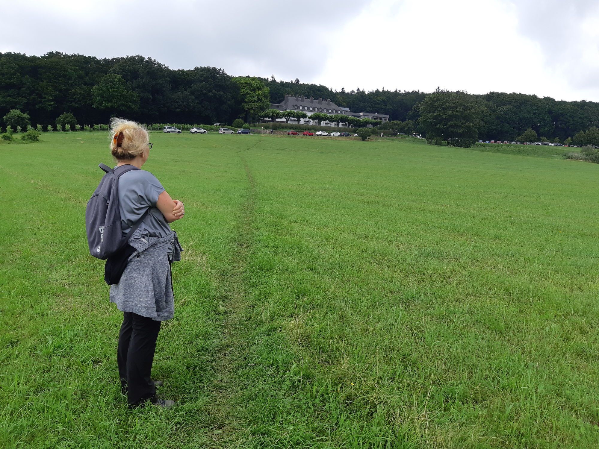
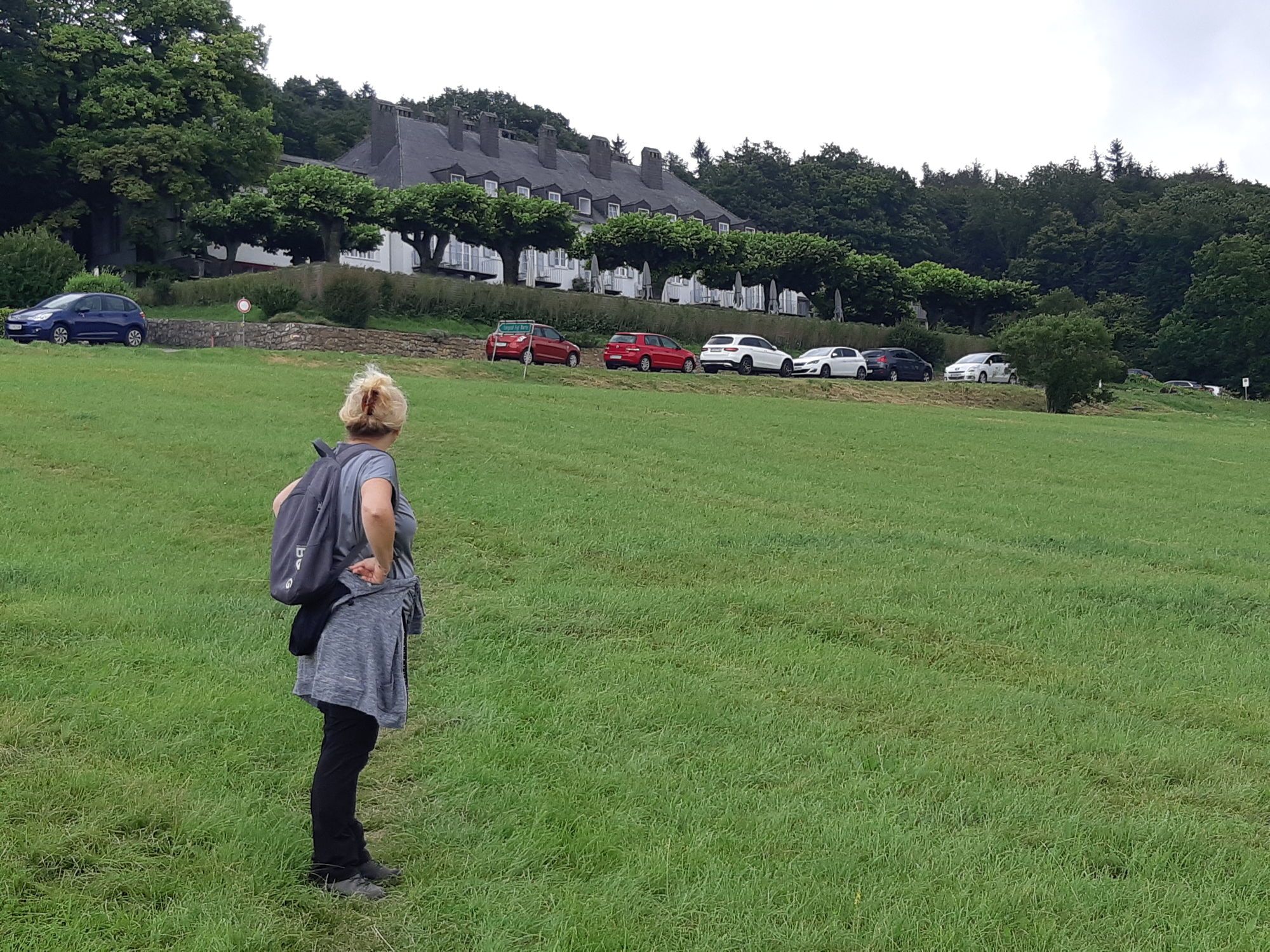
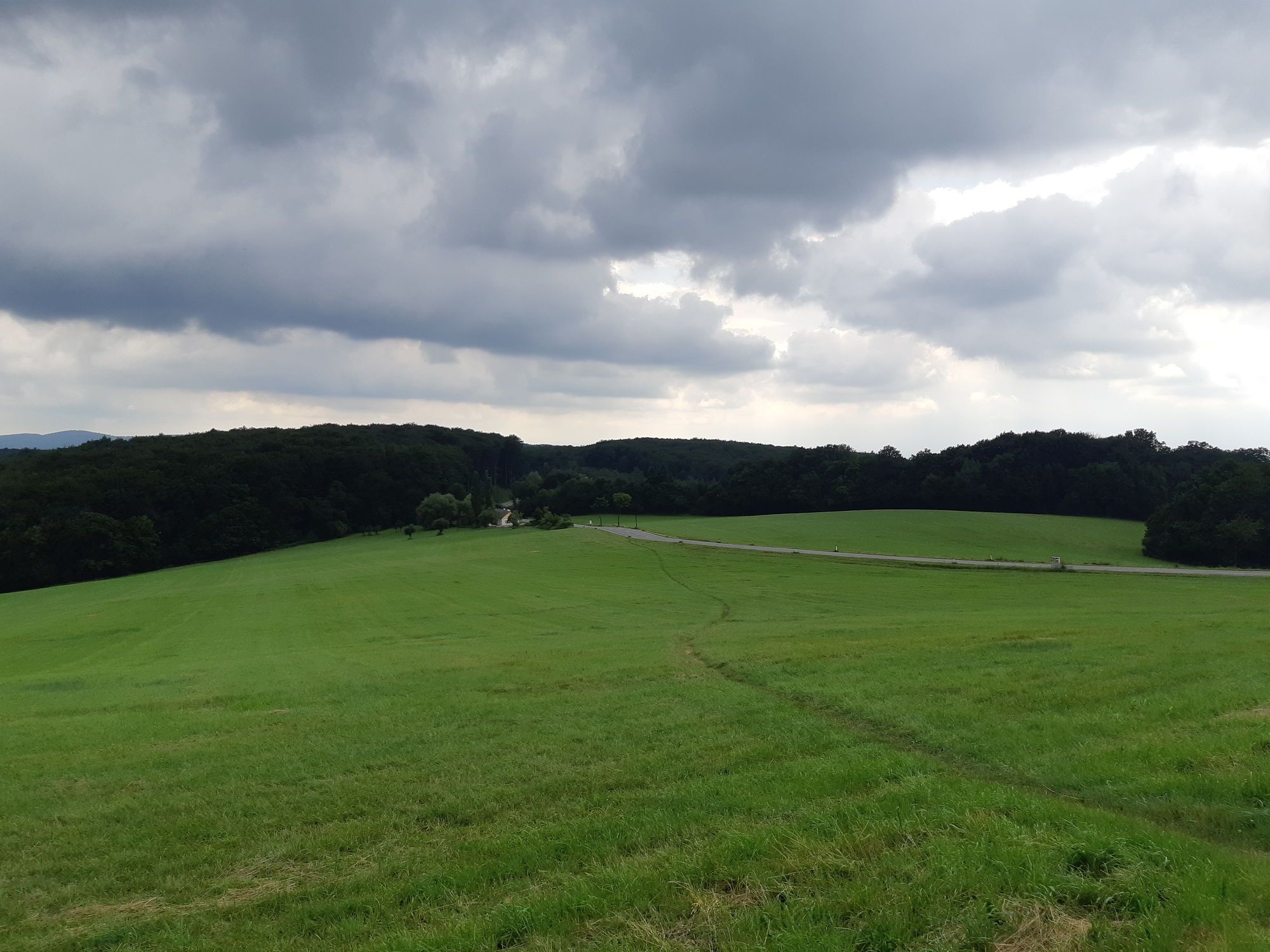
The Hanging Stone route offers several highlights for mountain bikers. Particularly noteworthy is the Tulbinger Kogel, which offers a beautiful view of the surrounding landscape. The route also passes...
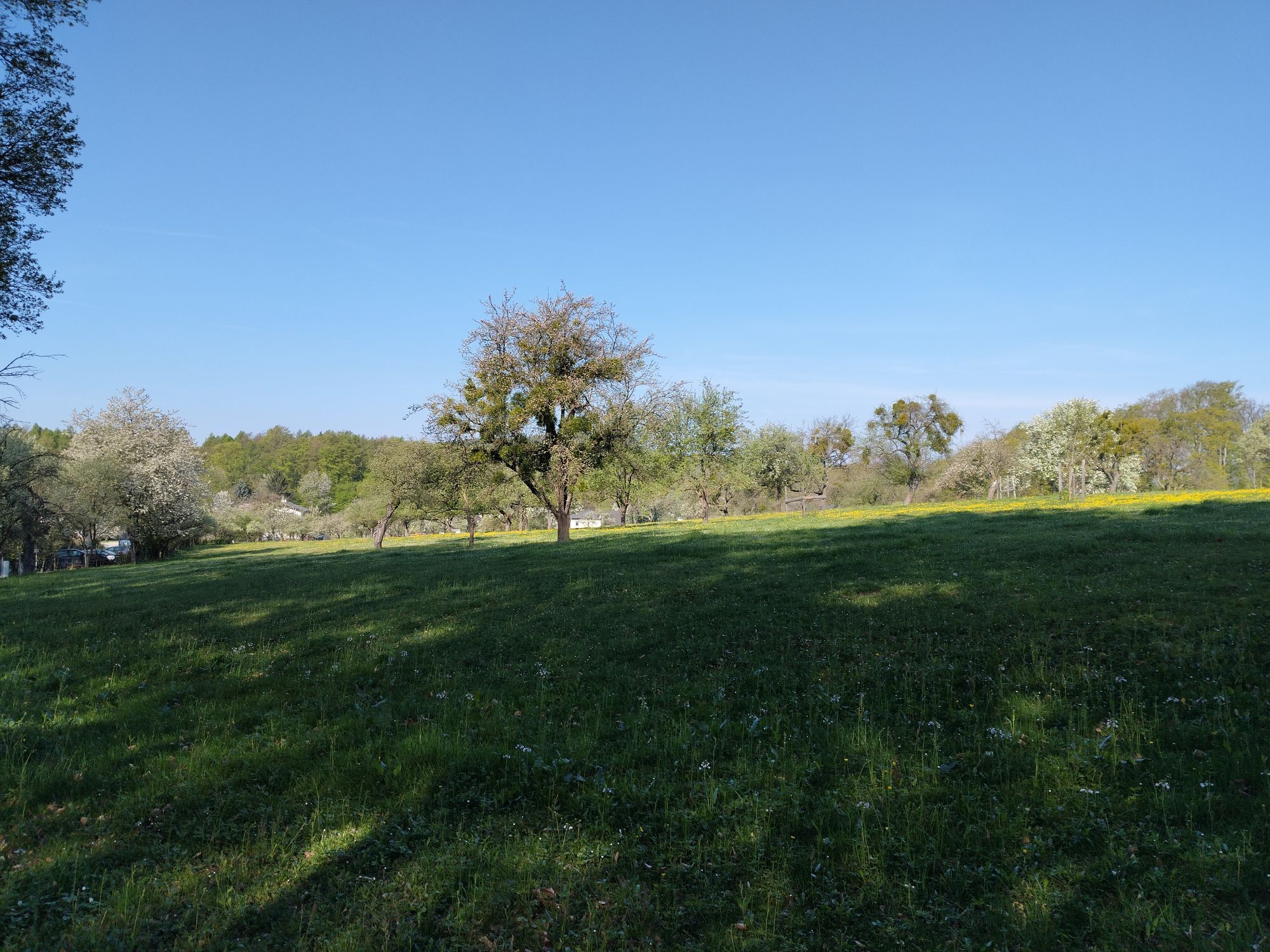
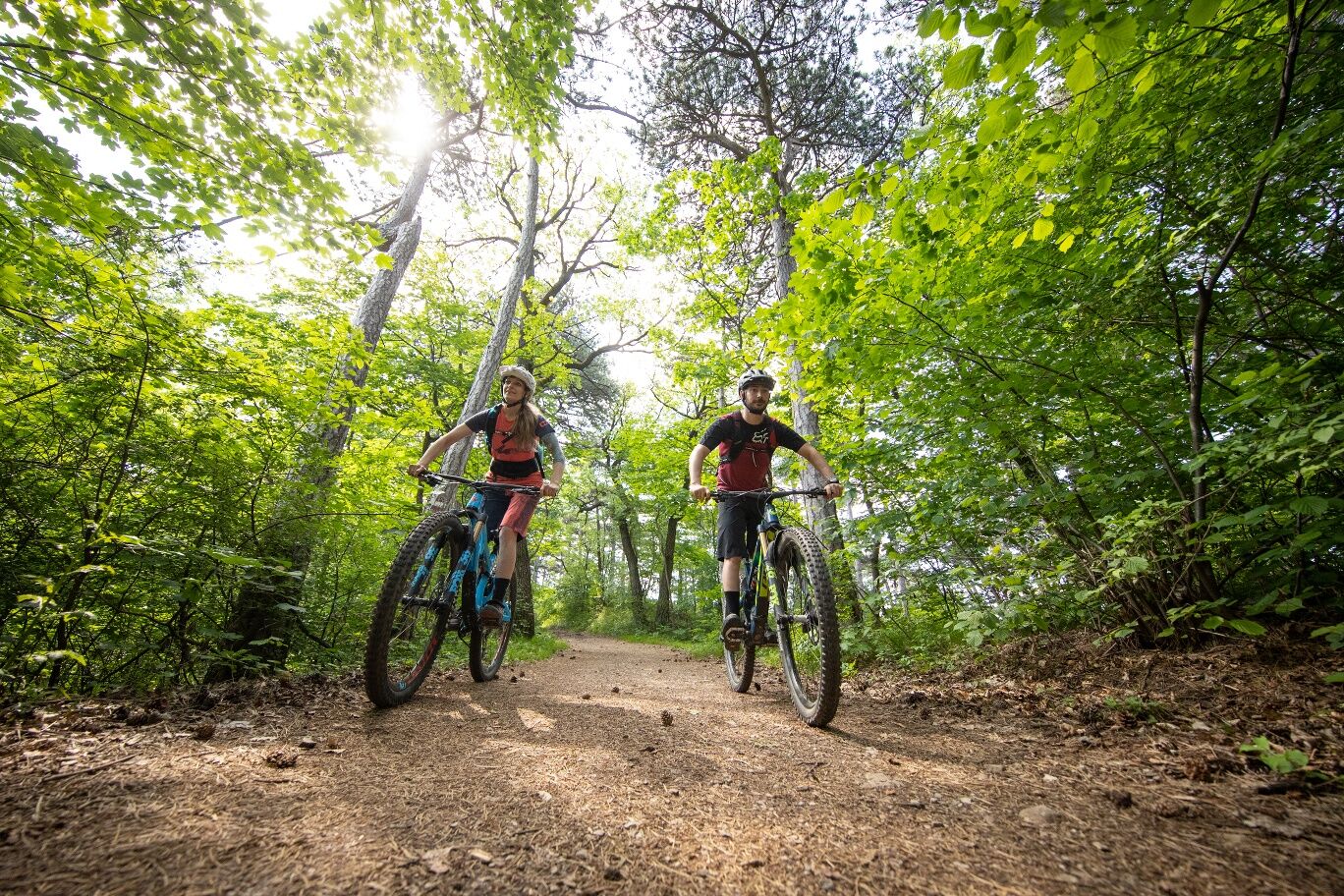
<p>The Hanging Stone route offers several highlights for mountain bikers. Particularly noteworthy is the Tulbinger Kogel, which offers a beautiful view of the surrounding landscape. The route also passes through the picturesque area around the Hanging Stone, a distinctive rock that gives the route its name. The combination of varied sections on asphalt, gravel roads, and forest paths ensures a varied riding experience. In addition, the route offers a perfect mix of nature experiences and riding fun, making it an attractive choice for sporty mountain bikers.</p>


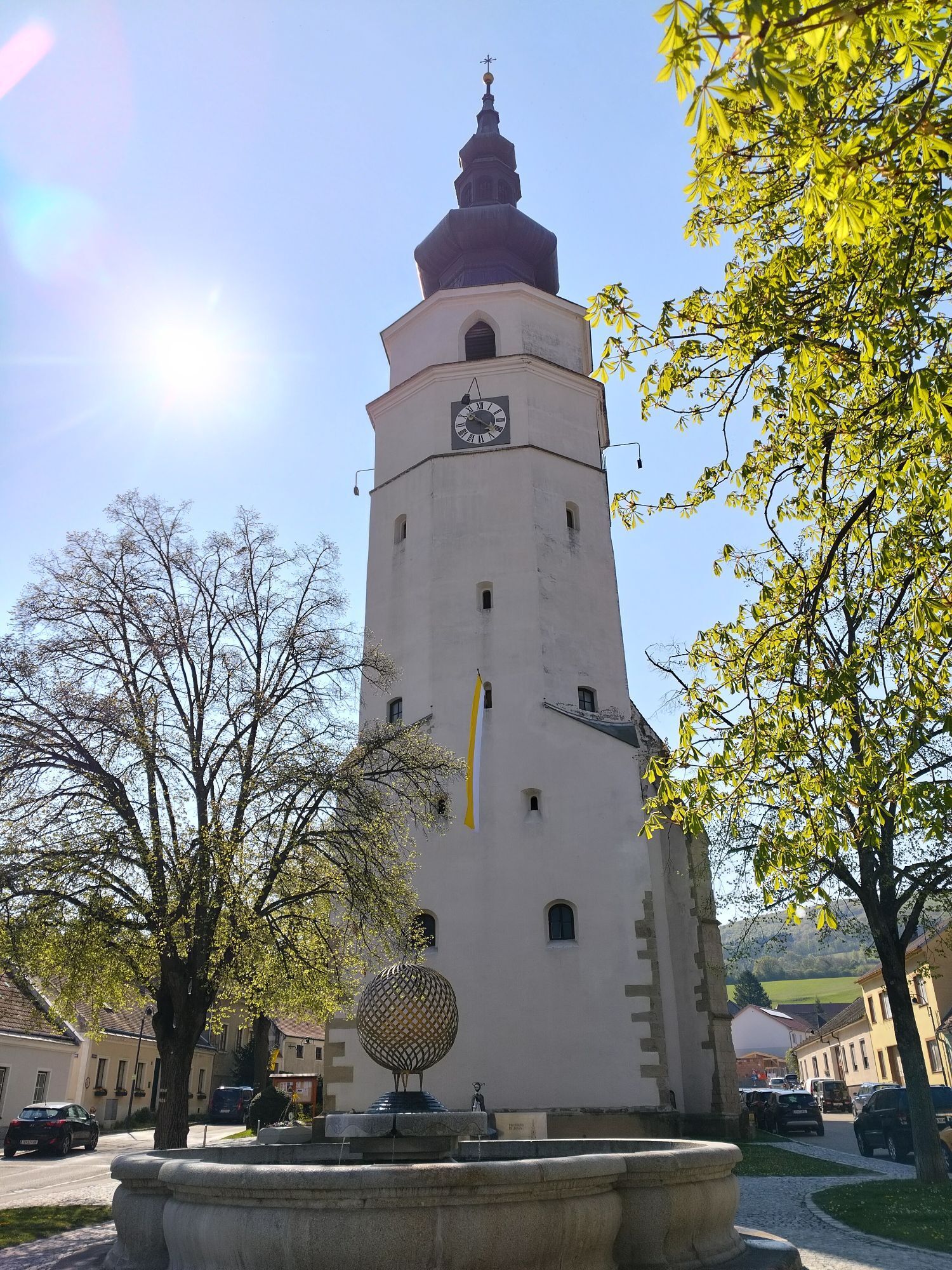
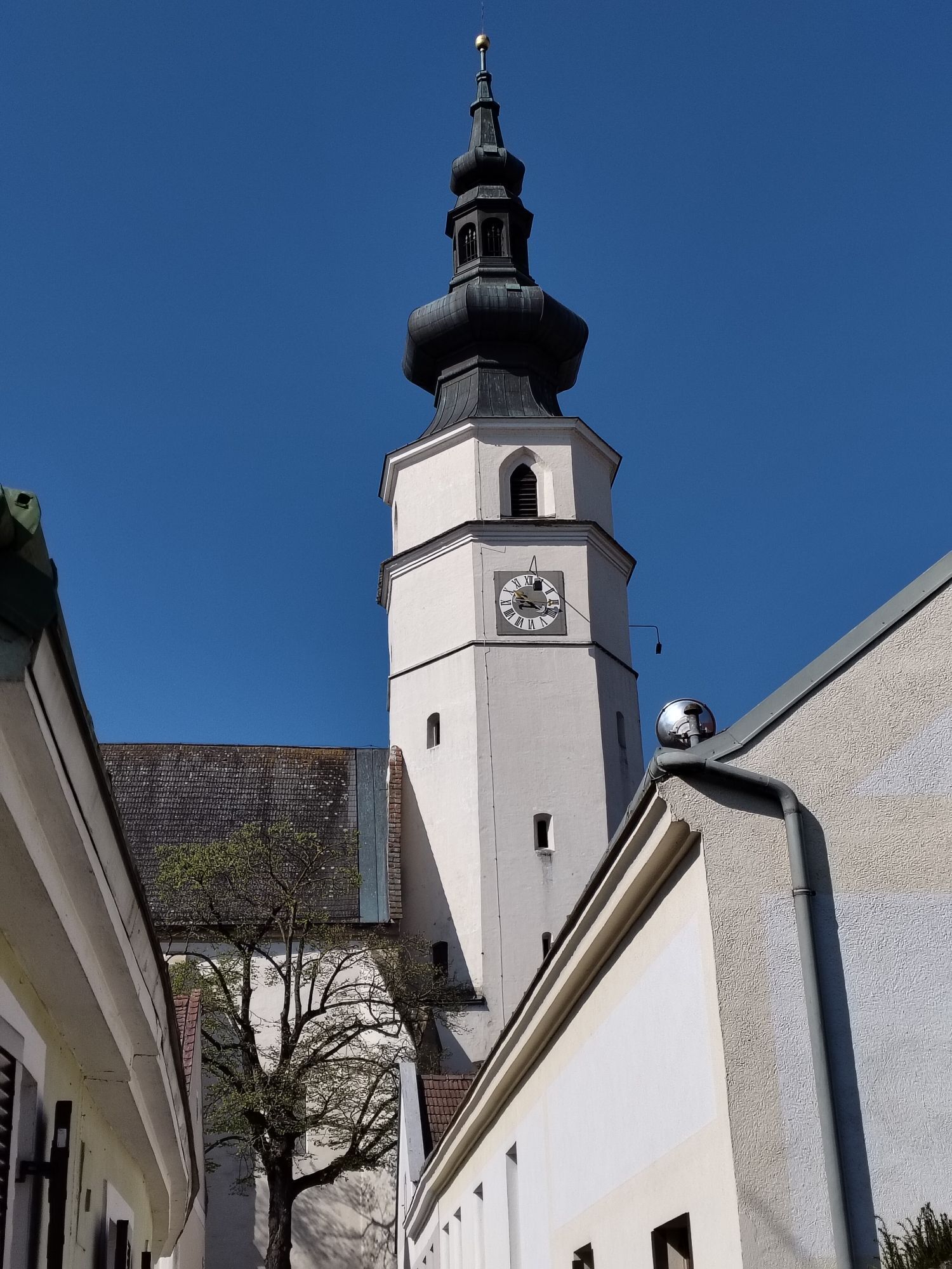
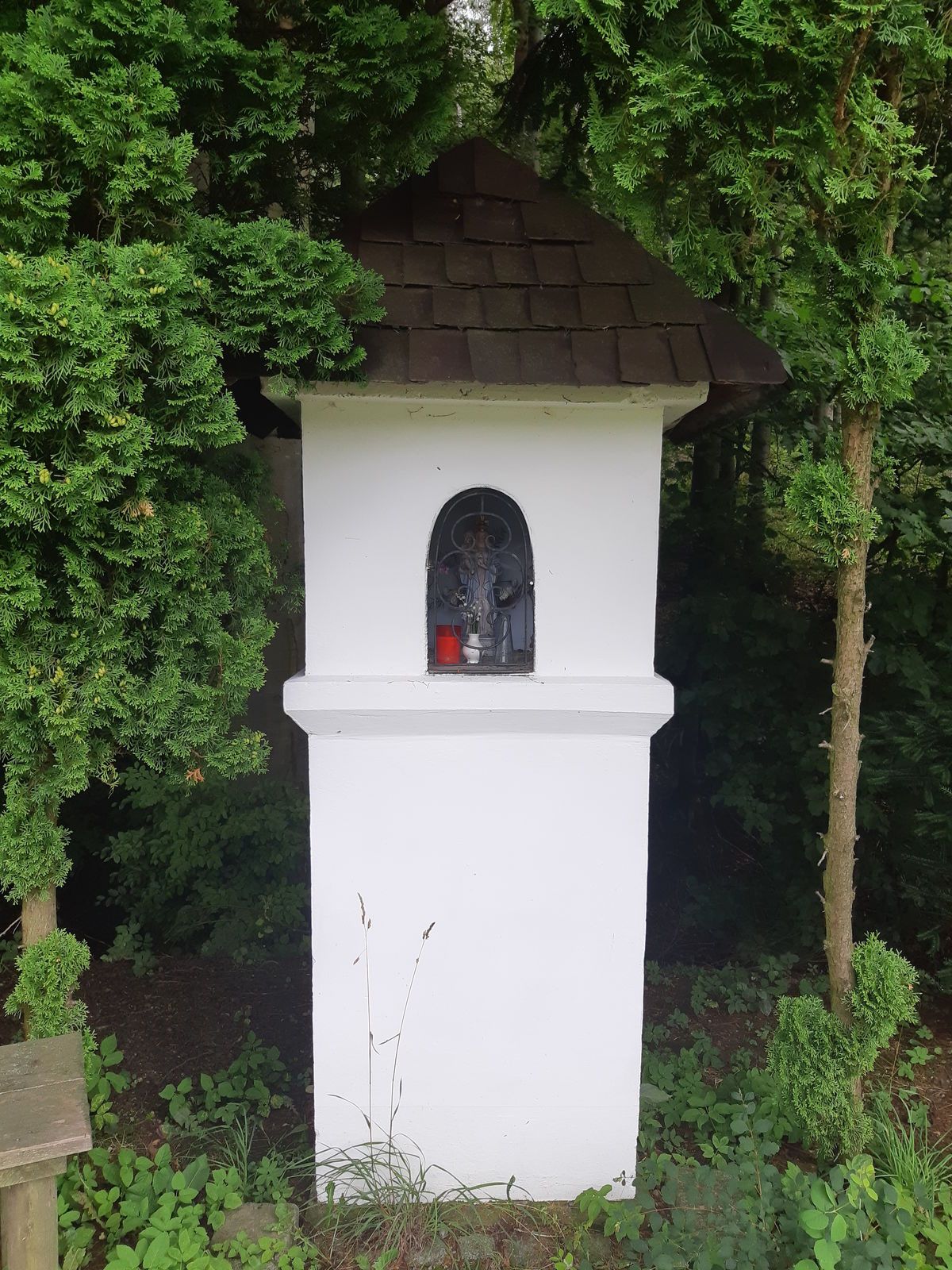
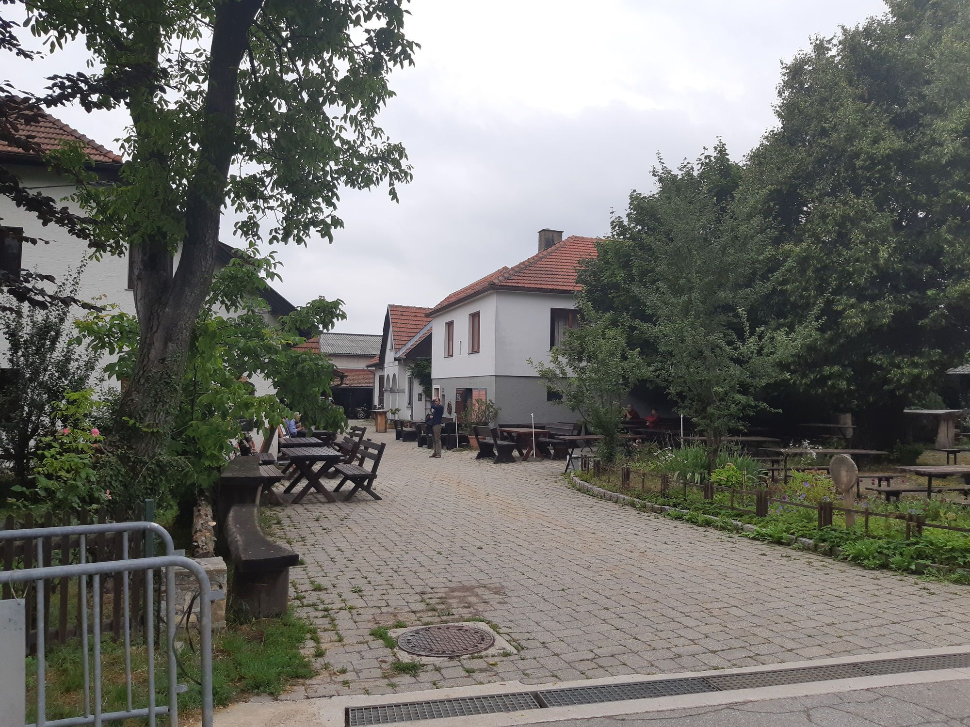
<p>From the entry point at the main square of Königstetten, we ride via Kirchengasse to the right onto Neuwaldegger Straße (L120). After 100 m we turn onto Peter Rosegger-Straße, which becomes an idyllic forest road and brings us back to the L120. From there, you can make a short detour towards Unterkirchbach to the natural monument Hanging Stone. Without a visit to the Hanging Stone, we cycle 400 m on the L120 to the right, then turn right twice again towards Hainbuch. In the forest, we head towards Tulbinger Kogel, turn right onto L2128, and after 1.9 km turn right again onto a path that leads us to Tulbing. Passing the castle on the right, we ride along the main ditch back to Königstetten.</p><p>Surface: Asphalt 54%, gravel 40%, forest/meadow 6%</p>
<p>A safe and functional mountain bike is a prerequisite for all routes. Helmet and gloves protect against falls and can be supplemented with knee and elbow pads for single/shared trails. A modern mountain bike with disc brakes and sufficient tire tread is recommended. For single and shared trails from the red difficulty level, a fully with modern geometry is recommended. Tools, tire levers, pump, and spare tube help in case of a breakdown. Enough provisions (drinks and food) should also be carried, as well as a mobile phone and wind/rain jacket.</p>
<p>Before every ride, check the functionality of brakes, tires, and suspension fork/shock absorber. Always ride with hazard visibility and controlled speed, and adapt the choice of route to the riding skills of the group and the terrain. The <strong><a href="www.wienerwald.info/mountainbiker-fai... Play</a></strong> rules must be observed at all times. Single/shared trails as well as constructed trails in trail parks and trail centers have more stones, roots, steep sections, steps, and tight turns that require certain riding skills. In case of doubt, simply dismount and push the bike.</p>
<p>B14 to St. Andrä in front of the Hagenthale, third exit "Königstetter Str." at the roundabout, continue to the starting point in Königstetten.</p><p>Coming from the west A1 to the exit "St. Christophen", B19 towards Tulln, first exit at the roundabout, second exit in the next roundabout onto "Kellerstraße", continue to the starting point Königstetten.</p>
The elevation data for this route were calculated based on the A-MAP. Due to different map bases from routing/navigation apps and devices, slight variations in data are unavoidable. More information can be found in the following blog post!
Wienerwald Tourismus GmbH
Hauptpl. 11, 3002 Purkersdorf
Tel. +43/2231/621 76
E-mail: office@wienerwald.info
Website: www.wienerwald.info
Dining options:
Fam. Richter - RegenspurgerBerghotel TulbingerkogelGasthaus FiglHotel Restaurant MarienhofWaldschenke Staar
Oblíbené prohlídky v okolí
-
4.8
Stadtwanderweg 1
světloTuristika 11.1 km -
4.8
Stadtwanderweg #2, Hermannskogel, Top of Vienna 😆
světloTuristika 11.1 km -
4.8
Stadtwanderweg 1a - Leopoldsberg / lt. Beschilderung
středníTuristika 10.2 km -
4.8
Königstetten-Figlwarte-Hainbuch-Königstetten
středníTuristika 9.30 km -
4.6
Nasenweg Leopoldsberg Rundweg
středníTuristika 4.08 km -
4.5
Stadtwanderweg 4
světloTuristika 8.48 km -
4.6
Stadtwanderweg 3, Hameau (lt. Beschilderung)
světloTuristika 9.78 km -
4.6
Rundwanderung Gablitz Gemeindeamt - Troppberg - Rabenstein - Gablitz Gemeindeamt
světloTuristika 12 km -
4.6
Vienna's highest peaks: Leopoldsberg, Kahlenberg and Hermannskogel
světloTuristika 13.6 km -
4.2
Stadtwanderweg 8 - Sophienalpe (lt. Beschilderung)
světloTuristika 9.31 km
Pěší turistika a stopování


Nenechte si ujít nabídky a inspiraci pro vaši příští dovolenou
Vaše e-mailová adresa byl přidán do poštovního seznamu.





