







Lainsitztal-Strecke Teil 1


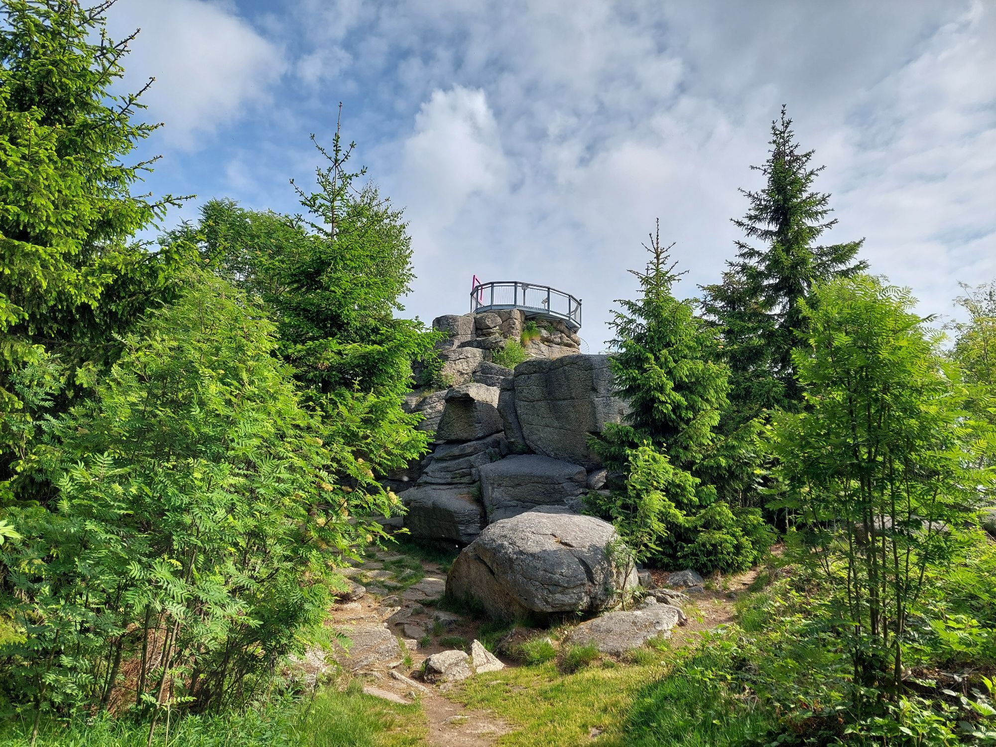
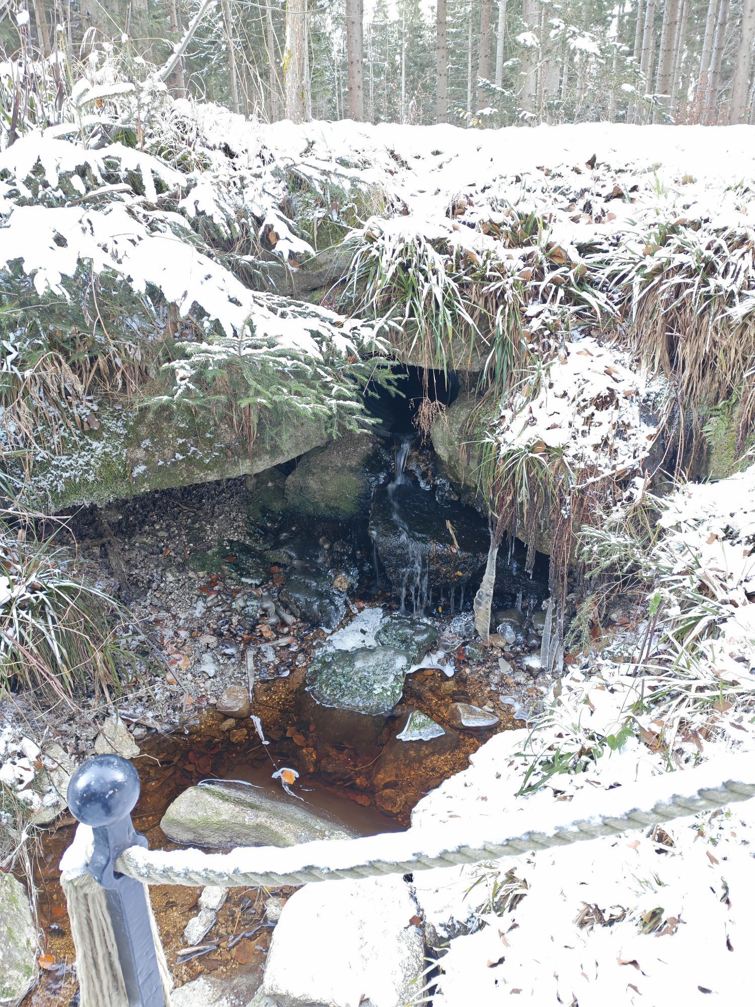

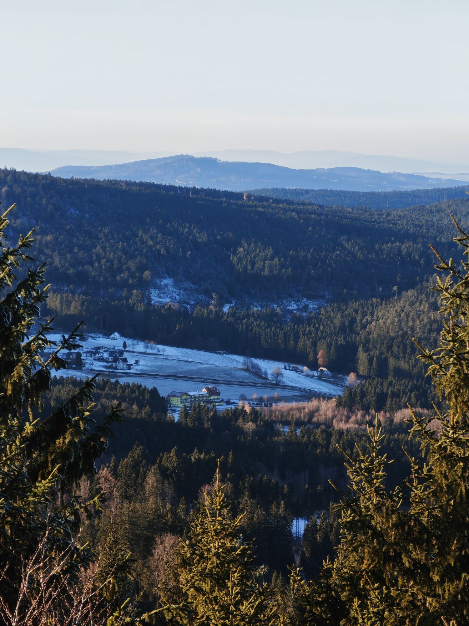
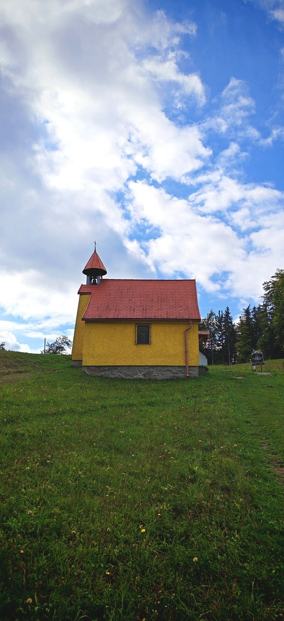
Route: From the town center in Inzell we ride past the Frauenkirche Niederachen and the Inzeller Moor. Via Hammer and Heutau it goes through the valley of the Rote Traun towards Siegsdorf. We follow the...
Route: From the town center in Inzell we ride past the Frauenkirche Niederachen and the Inzeller Moor. Via Hammer and Heutau it goes through the valley of the Rote Traun towards Siegsdorf. We follow the brine pipeline and shortly before Siegsdorf turn right to Neukirchen. On beautiful side roads but constantly slightly uphill-downhill it continues to Teisendorf. Now we cycle to Höglwörth, through the village of Anger, further along the Stoißer Ache until after the district of Kohlhäusl the path turns into a forest road. At 964m we reach the highest point between Anger and Inzell. From here it only rolls downhill to Adlgaß and further to the town center of Inzell. Special features: Whether the church of St. Johann, the Höglwörther See, or the former Augustinian canons' monastery Höglwörth... the beautiful but demanding tour offers diverse sights. Refreshments: In Anger, Teisendorf, Neukirchen, Heutau, Hammer and Inzell you will find many places to eat. Tip: If you have the stamina, a detour to the idyllically located Frillensee is worthwhile.


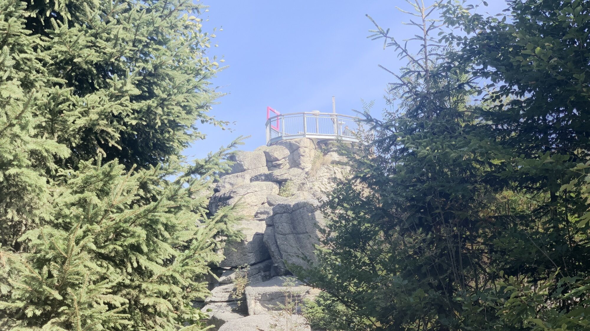
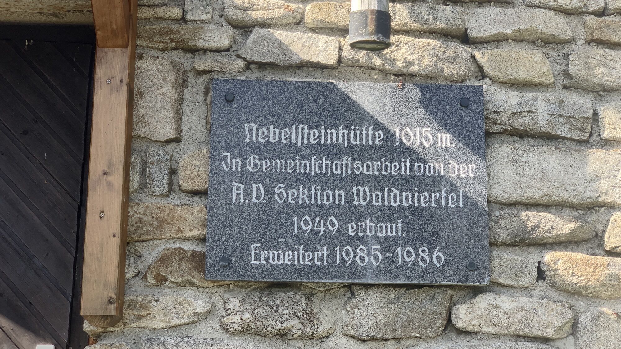
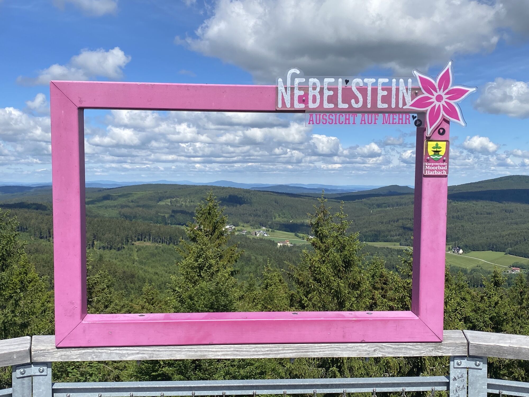
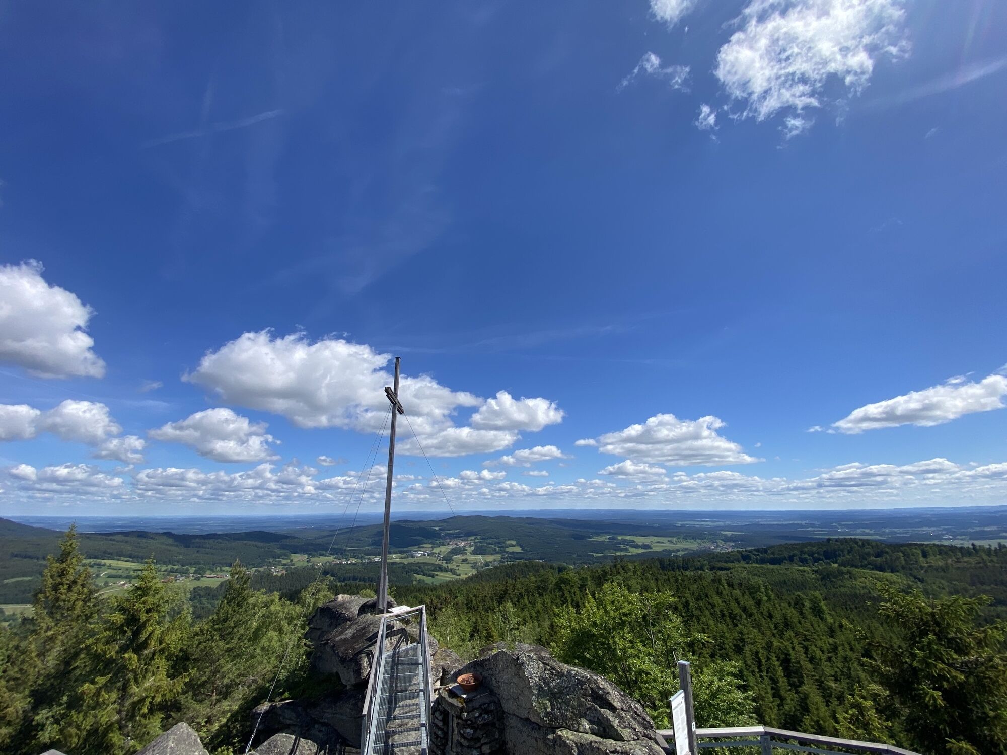
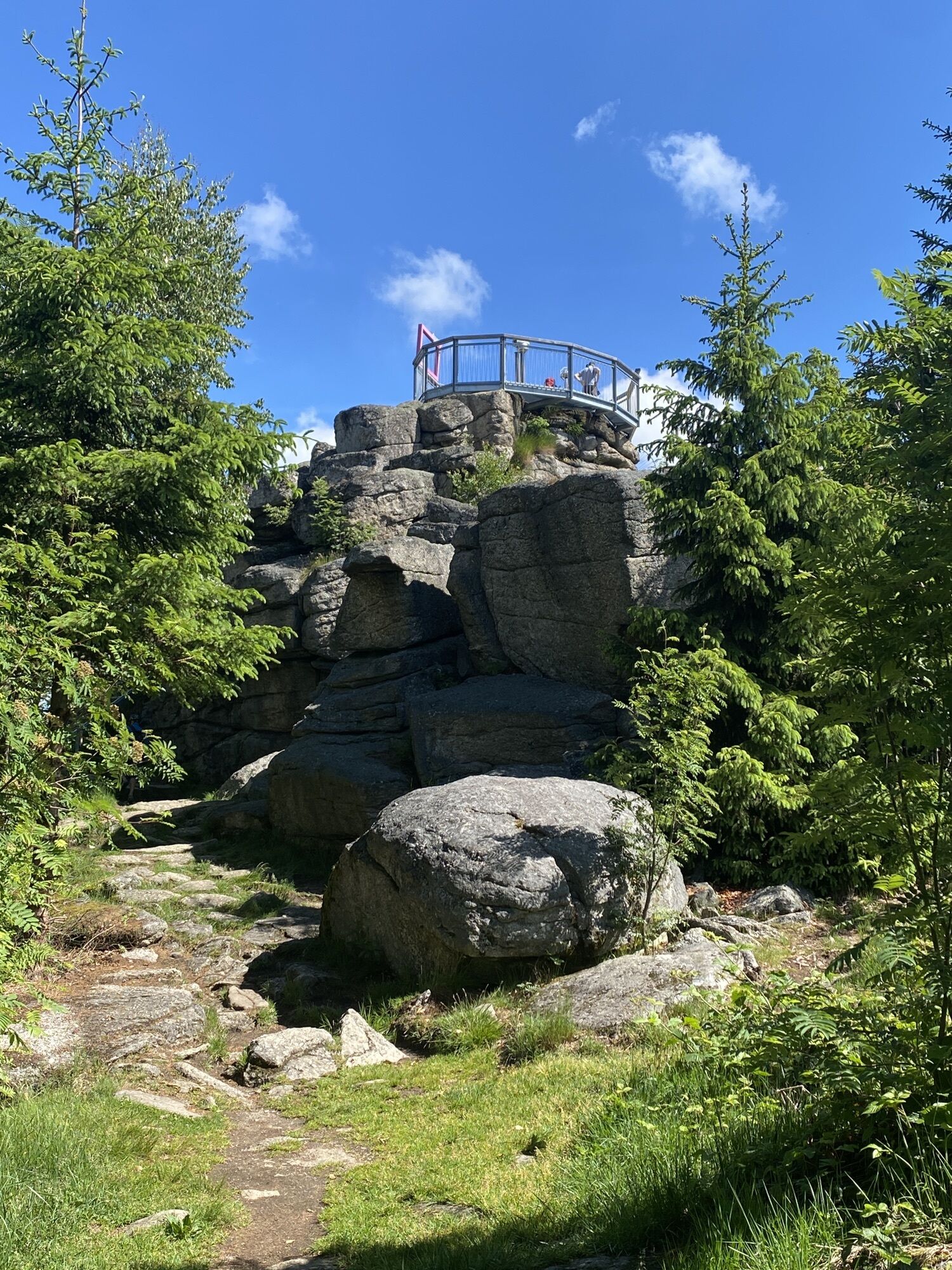
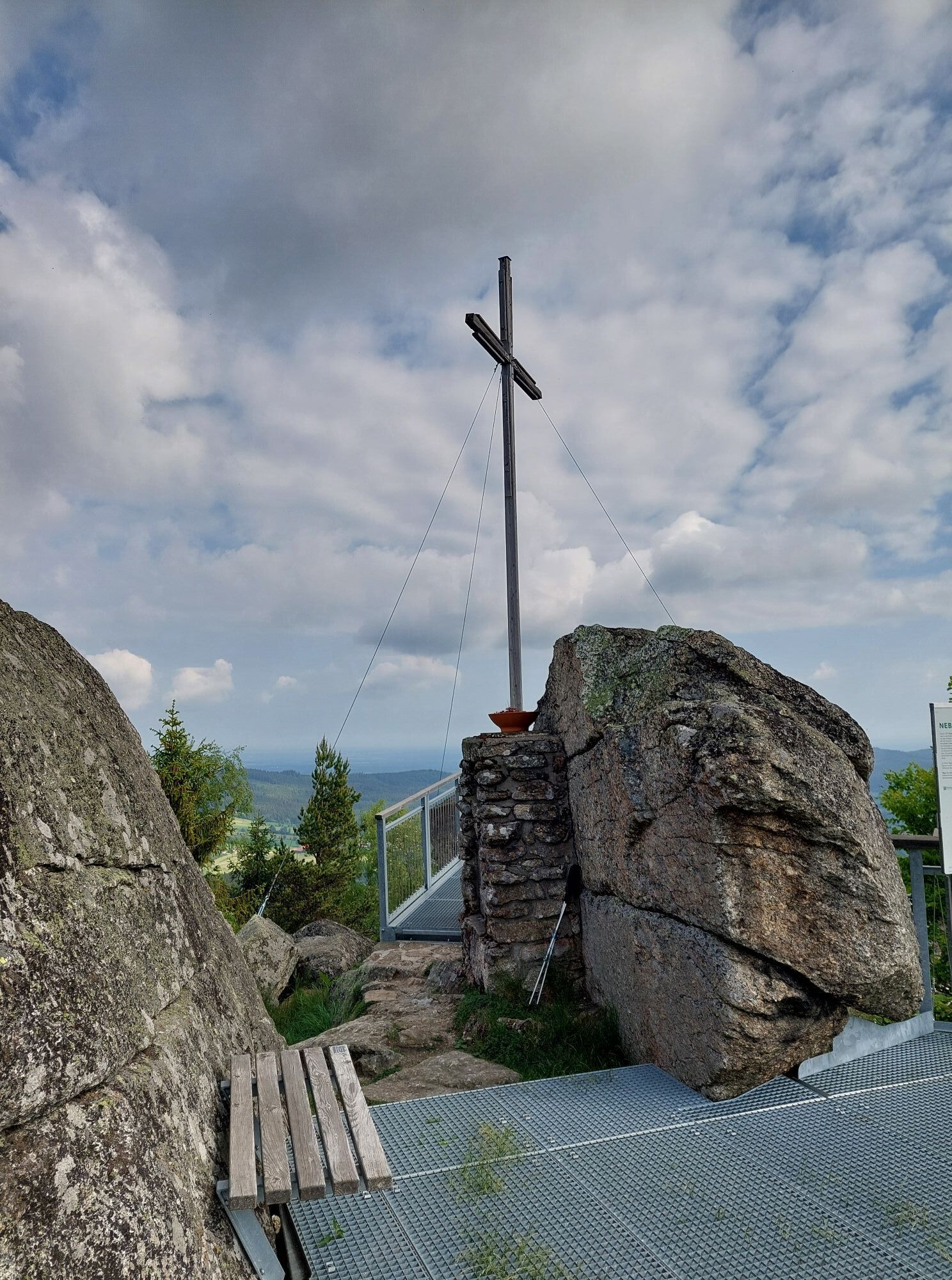
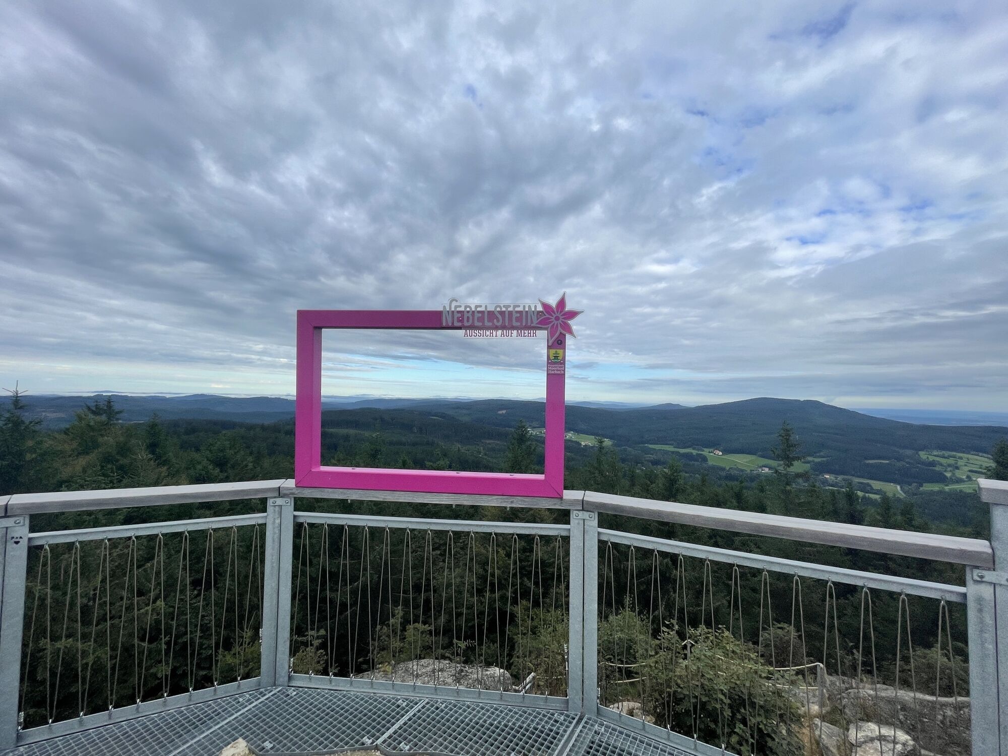
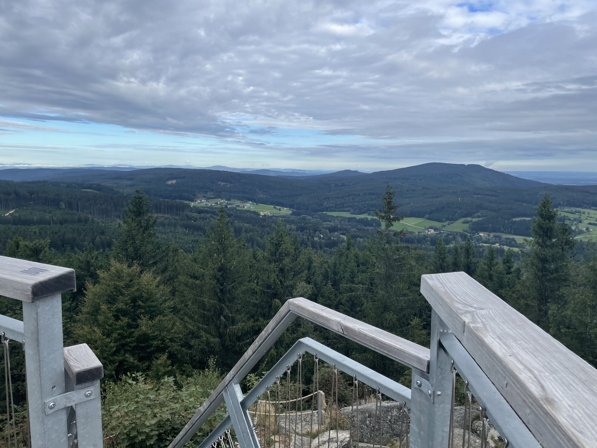
PÅed mÄstskou bránou odboÄíme na trasu Lainsit, po které pokraÄujeme pÅes Tiefenbach po polních cestách dále do Reinprechtsu.Odtud pokraÄujeme po trase Lainsitz pÅes Wultschau smÄrem na Roßbruck, kde po 10 kilometrech prudce odboÄíme doprava a na rozdíl od trasy Nebelstein stoupáme pÅes Obermaißen k cíli, hoÅe Nebelstein.
10,7 km asfaltu a 4,3 km lesních cest
Waldviertel Tourismus
3910 Zwettl, Sparkassenplatz 1/2/2
(T) +43 2822 54109
(E) info@waldviertel.at
(I) www.waldviertel.at
Získejte přehled
Vždy živě na místě s více než 9 500 webkamerami. bergfex Jako uživatel Pro si nyní můžete zobrazit odpovídající webové kamery pro mnoho prohlídek v aplikaci prohlídky z. Můžete si tak přímo prohlédnout aktuální podmínky.
Oblíbené prohlídky v okolí
-
4.5
Nebelstein Adventure Hiking Trail
středníTuristika 11.1 km -
4.5
Mandelstein von Moorbad aus
světloTuristika 9.47 km -
4.8
Nebelsteinweg
Turistika 6.98 km -
4.1
Naturparkweg Bad Großpertholz
světloTuristika 7.17 km -
3.6
Zwei-Tausender-Tour Tischberg-Eichelberg
světloTuristika 12.4 km -
4.9
Mandlstein Heinrichs bei Weitra Erlebnisweg
světloTuristika 13.1 km -
4.4
Nebelstein vom Moorheilbad
středníTuristika 12.9 km -
4.8
4-Berge Marsch Mandelstein - Nebelstein - Wachberg - Johannesberg
Turistika 30.8 km -
4.0
Nordwaldstrecke
Mountainbike 25.1 km -
5.0
My route to happiness
středníTematická stezka 4.30 km

Pěší turistika a stopování


Nenechte si ujít nabídky a inspiraci pro vaši příští dovolenou
Vaše e-mailová adresa byl přidán do poštovního seznamu.





