







Jauerling circuit 07: Mühldorf-Spitz





Crossing the Jauerling
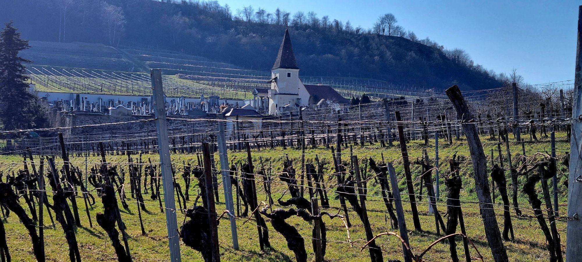
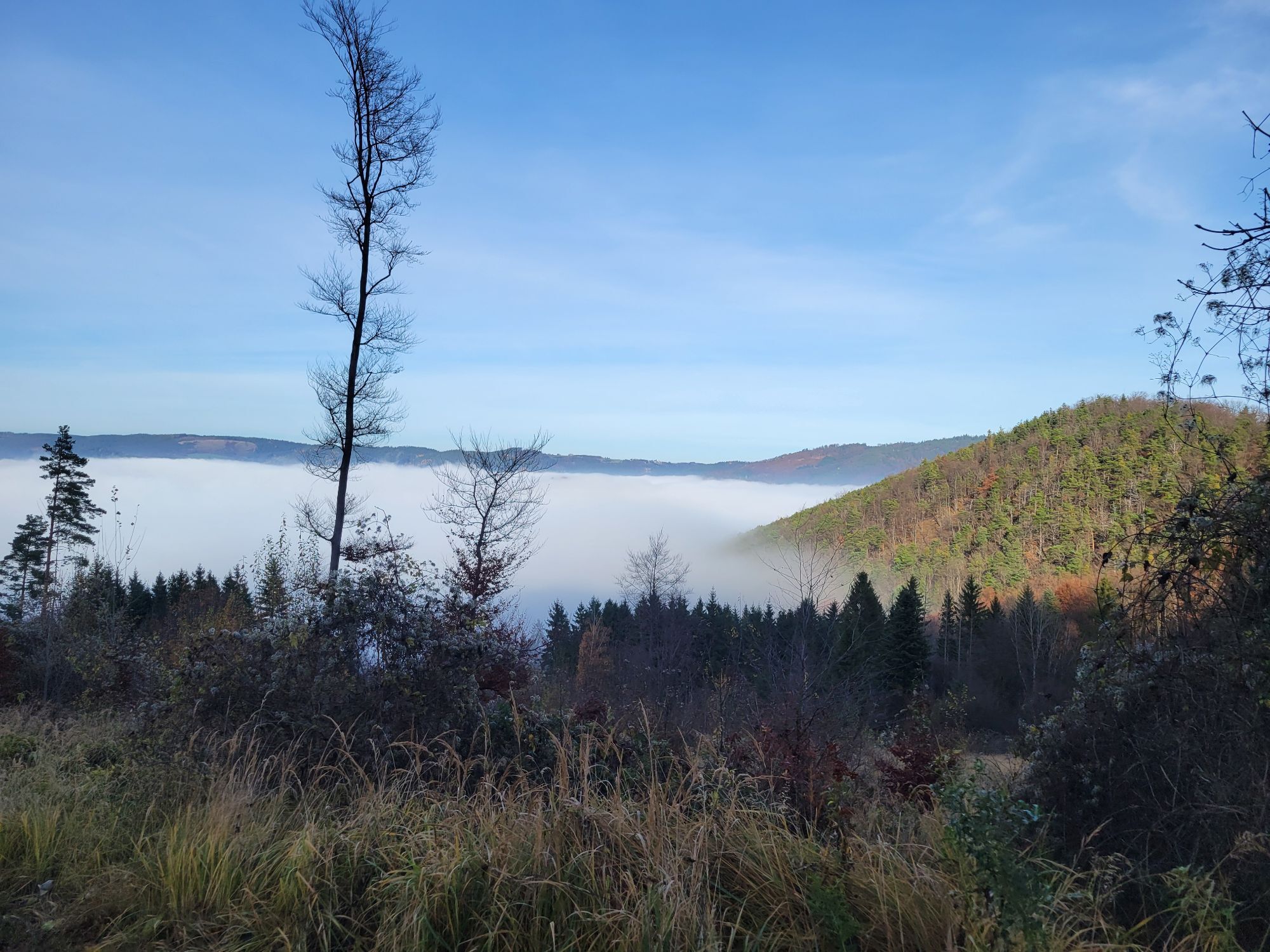
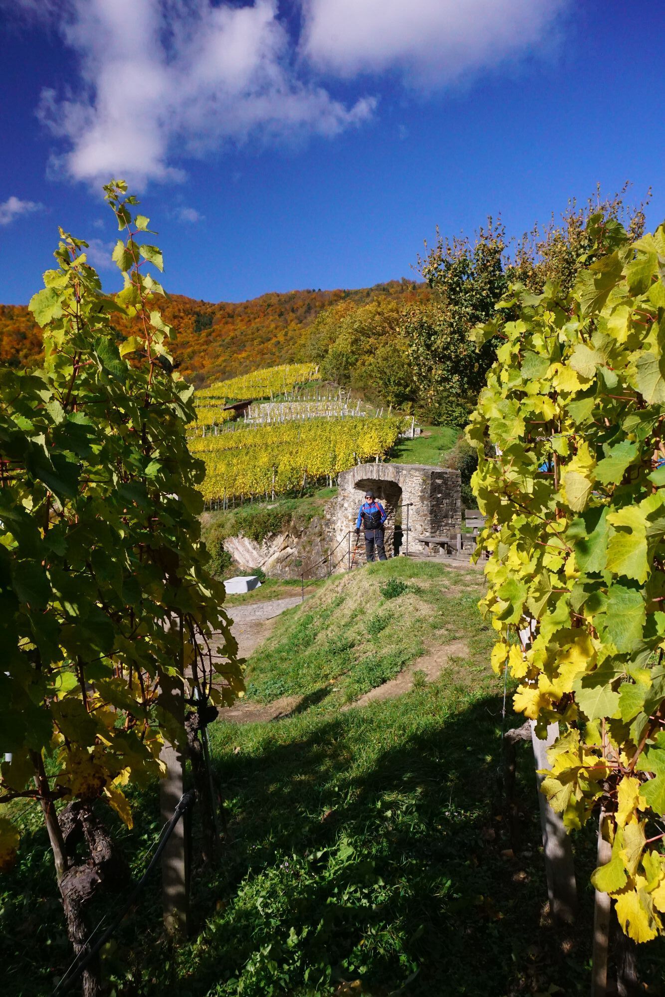
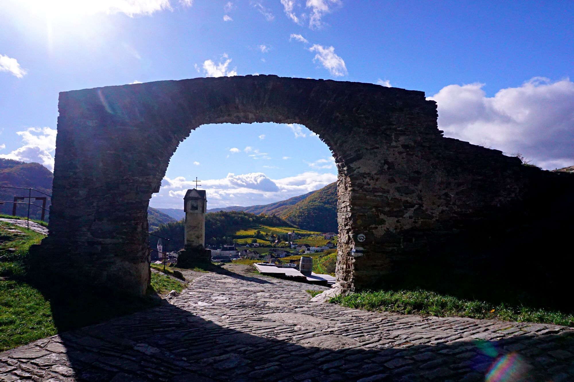
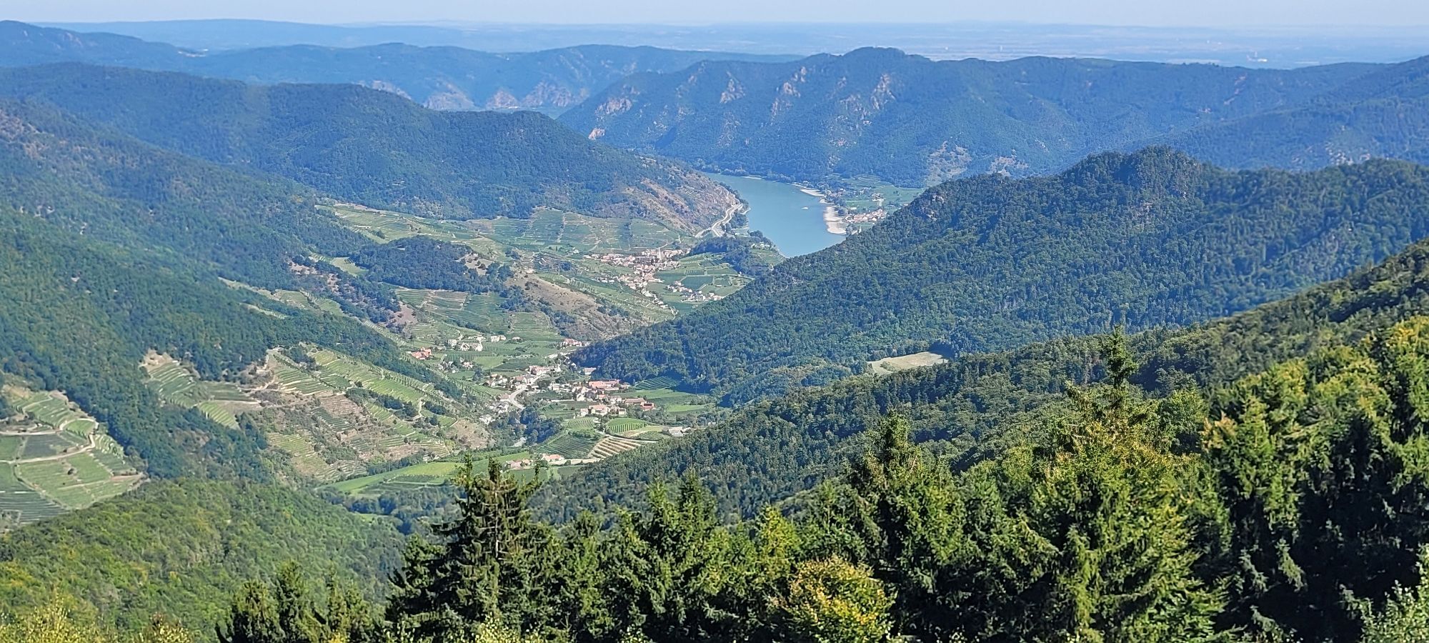
From Mühldorf, we hike over the 628 m high Trenning past the highest vineyard in Lower Austria to the Jauerling, the roof of the Danube. At the summit, we are greeted by the nature...
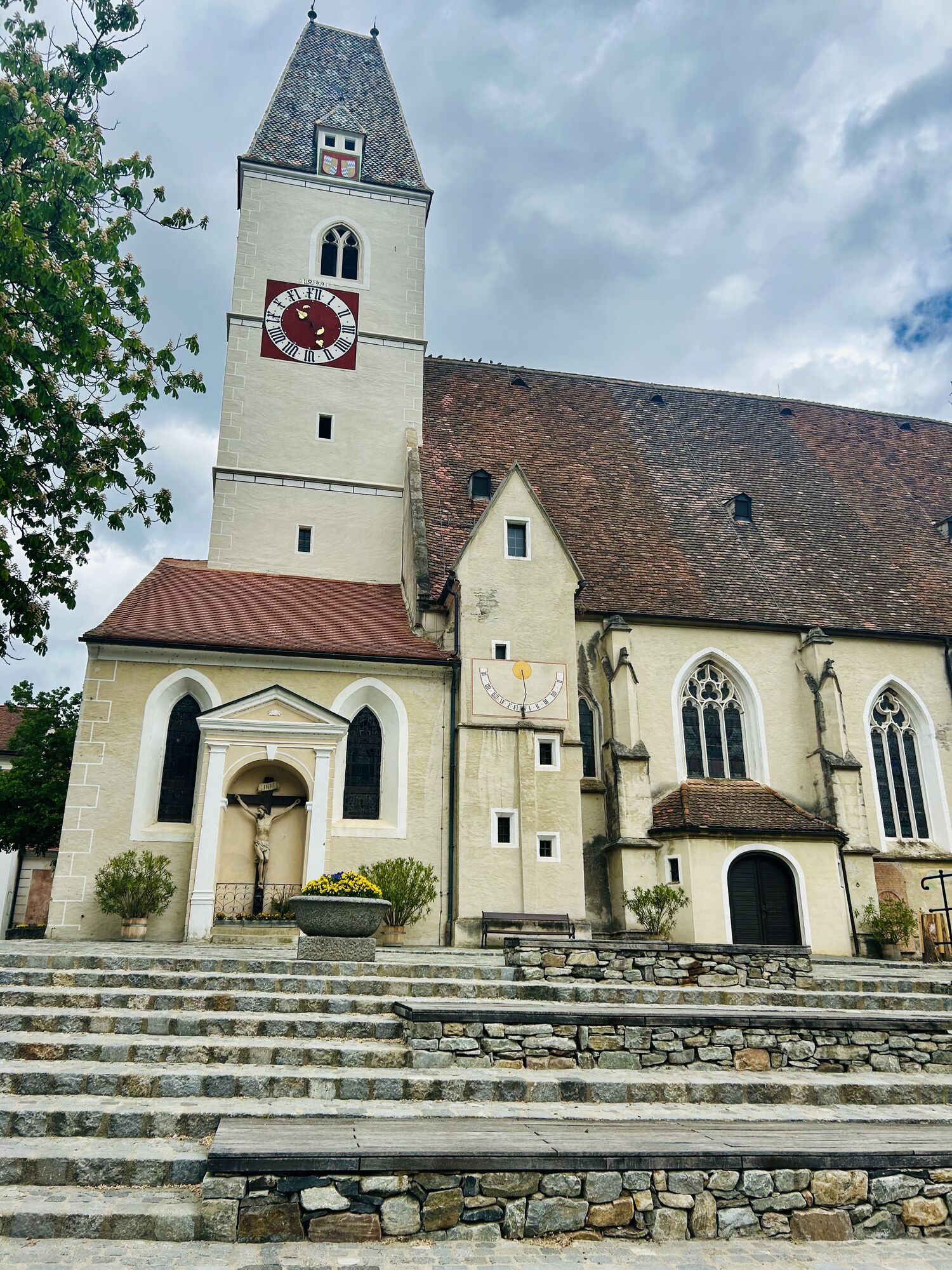
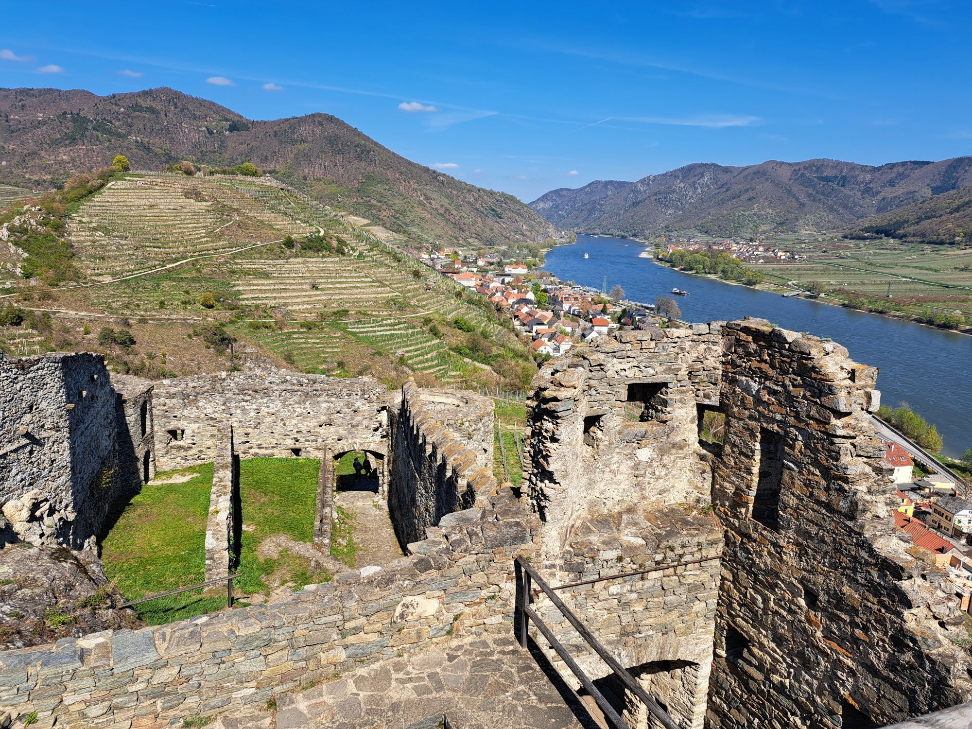
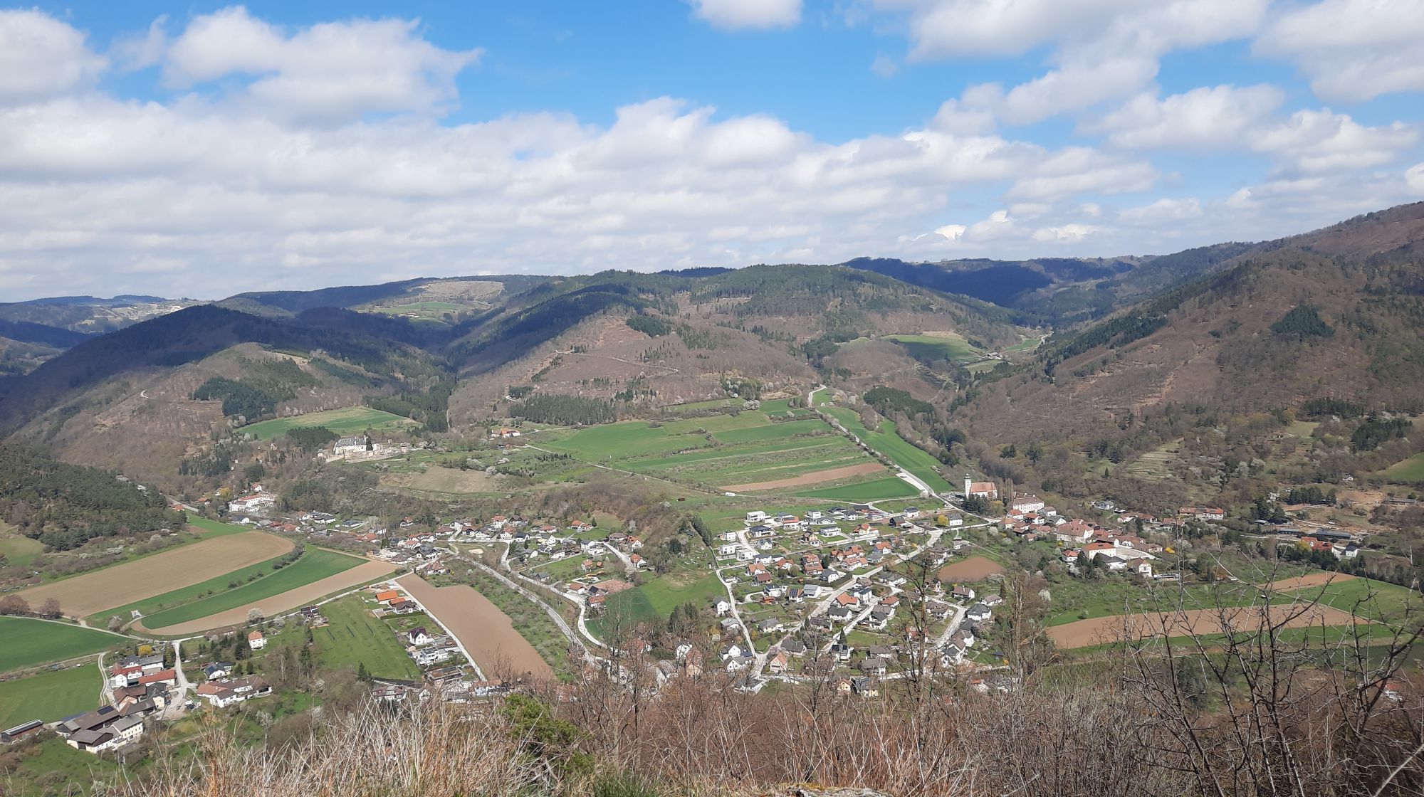
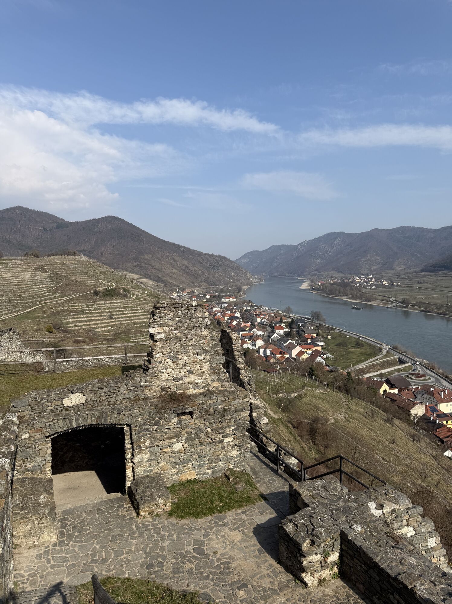
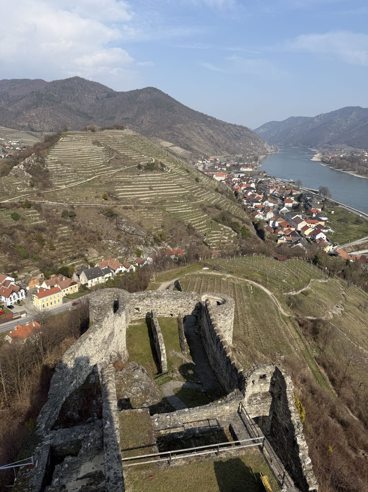
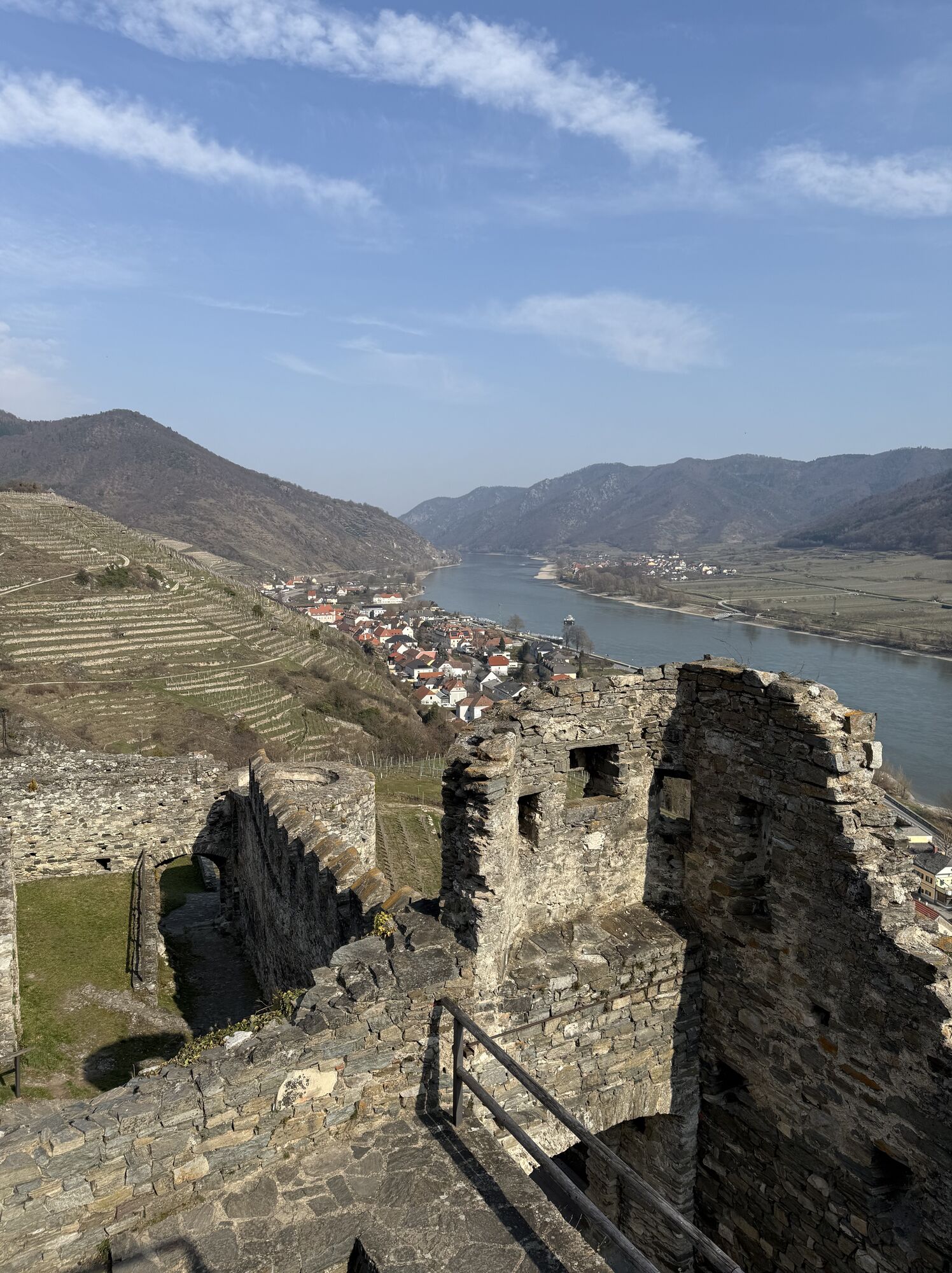
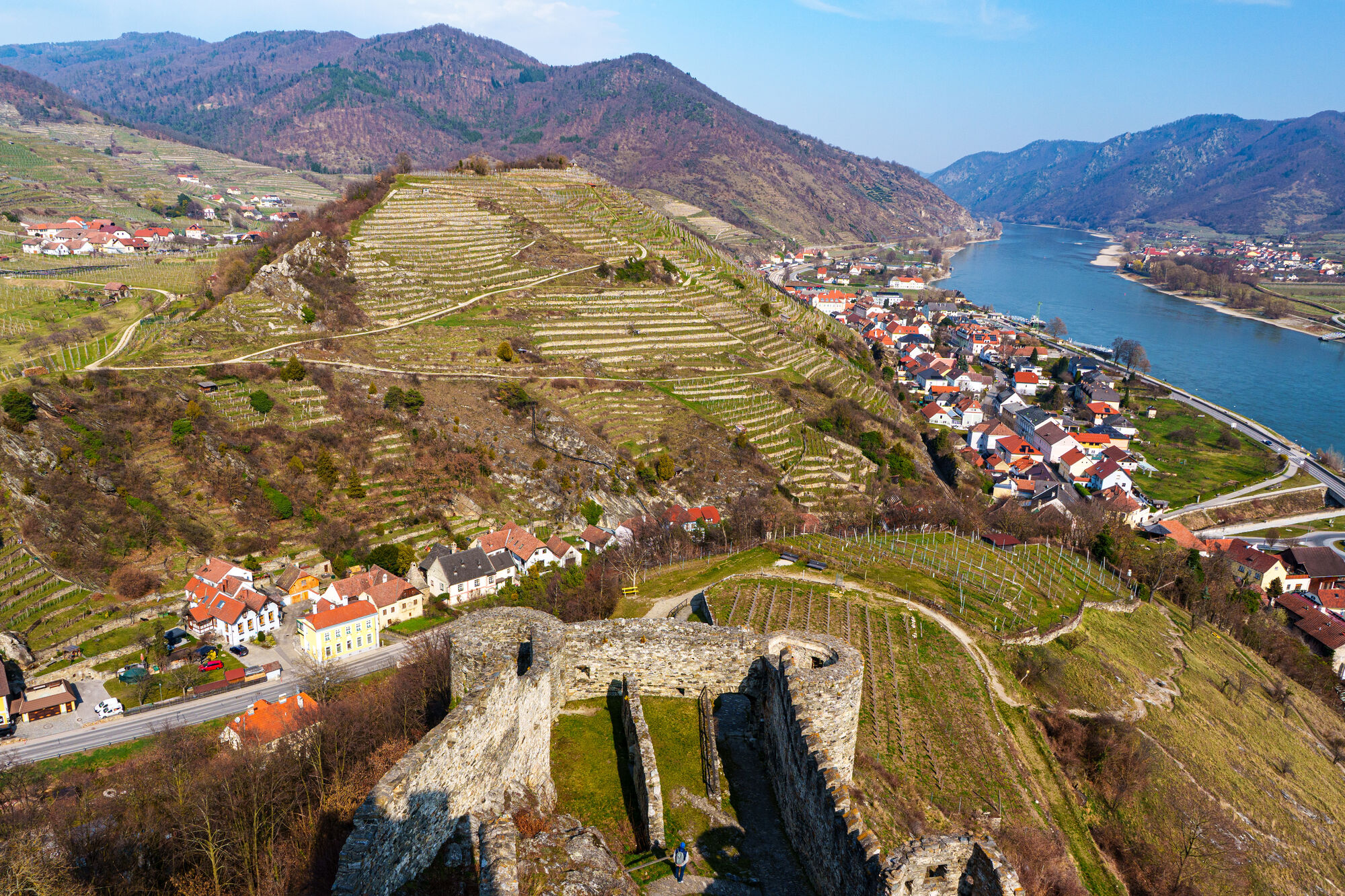
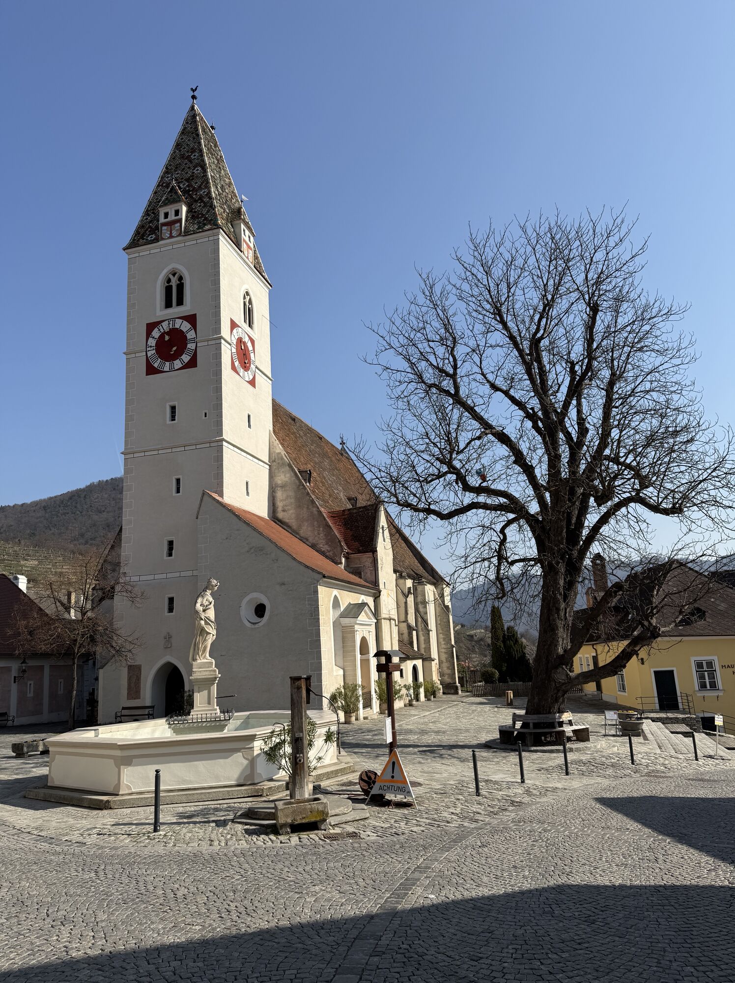
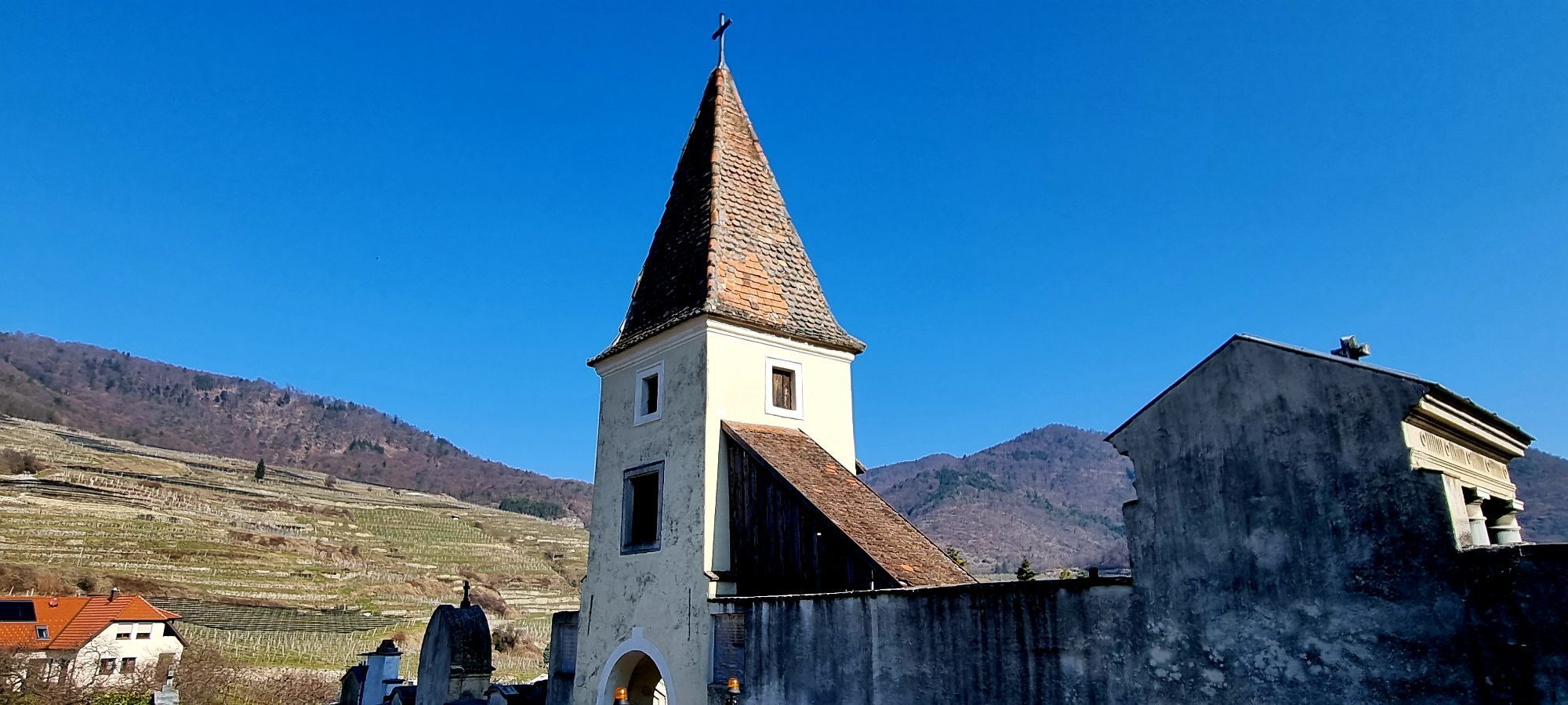
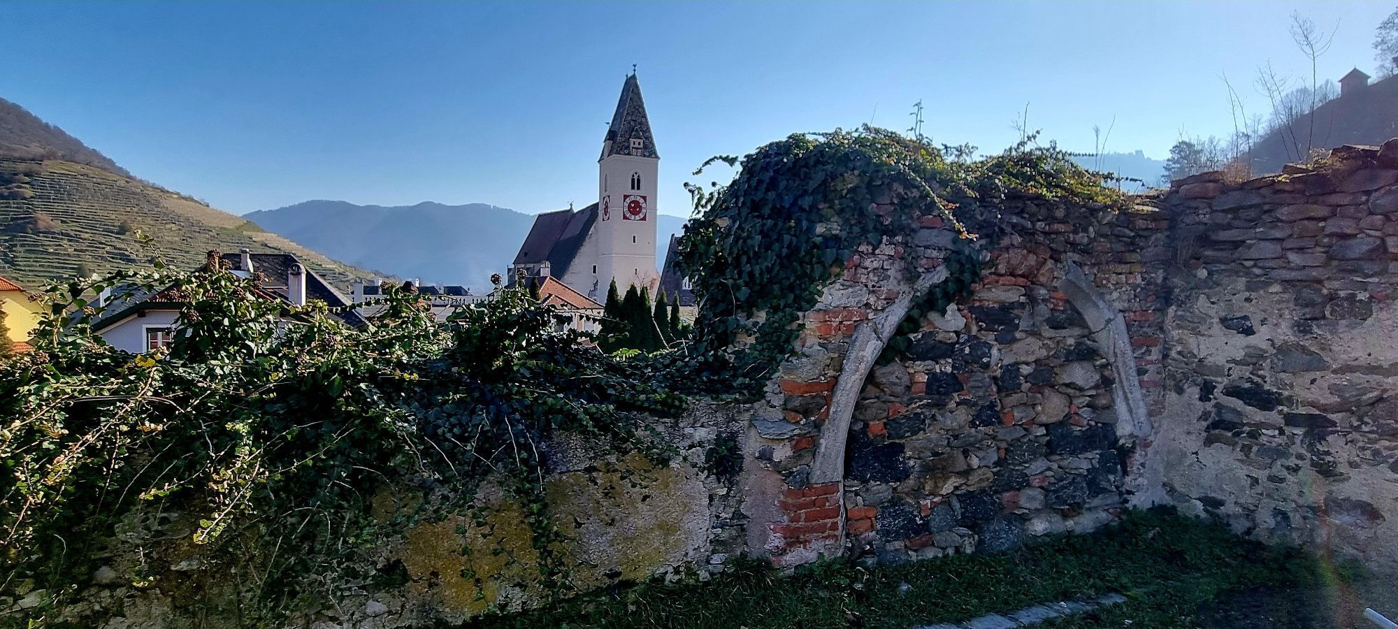
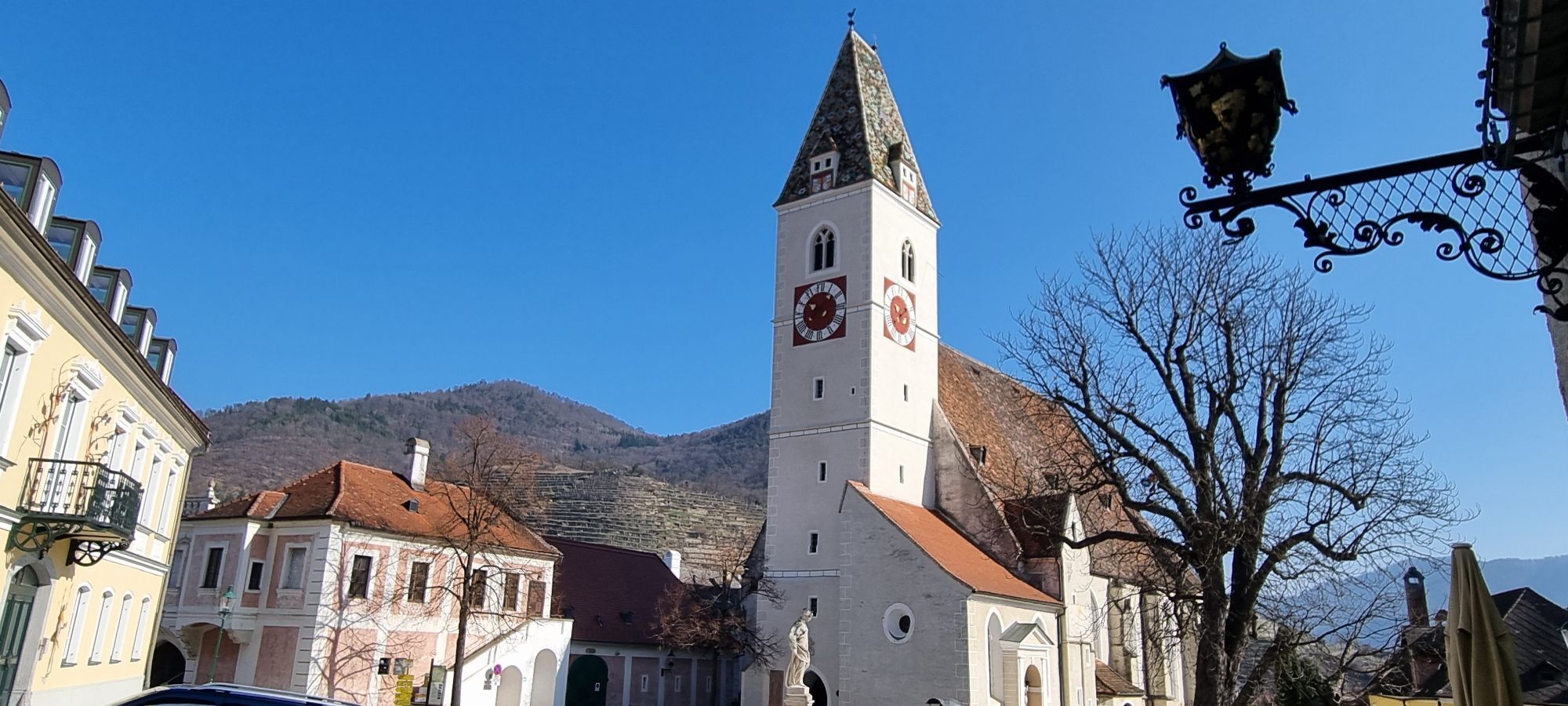
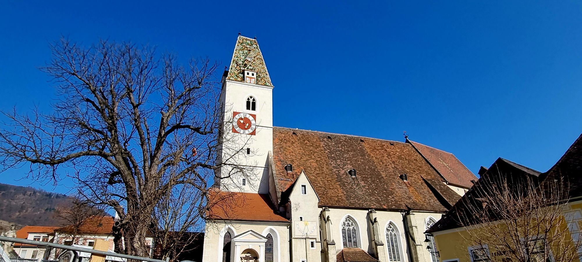
<p>Crossing the Jauerling</p><p>From Mühldorf, we hike over the 628 m high Trenning past the highest vineyard in Lower Austria to the Jauerling, the roof of the Danube. At the summit, we are greeted by the nature park house with its Wachau terrace. Via Benking, our path continues through a magnificent forest landscape past the Hirschen-, Zwölfer- and Elferkogel to the Hinterhaus Castle ruins. From here, it is not far to our stage destination at the church square in the winemaker town of Spitz on the Danube.</p><p>>>Here is the hiking report from Wachau Inside!</p>

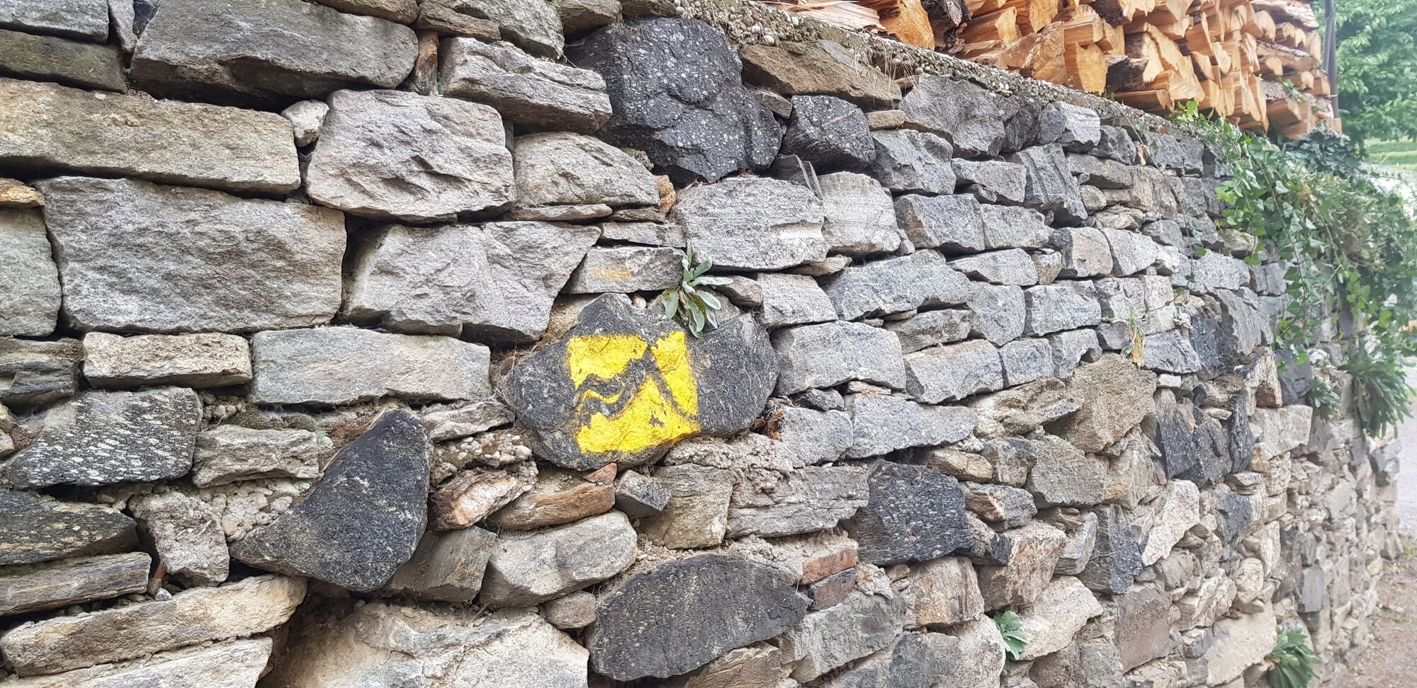
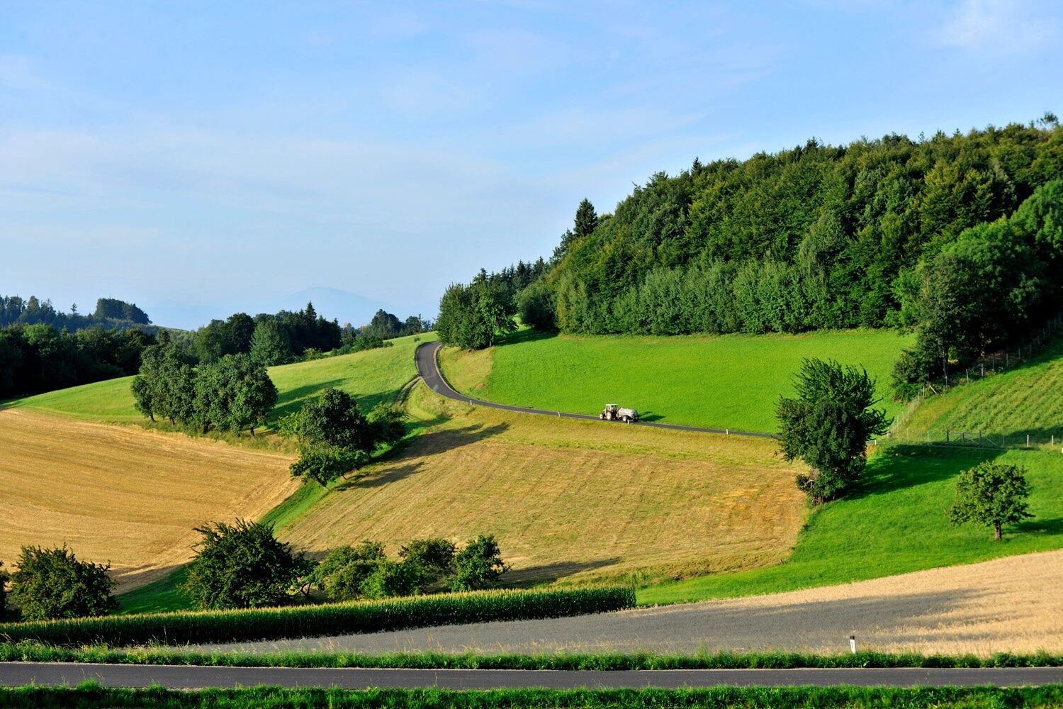
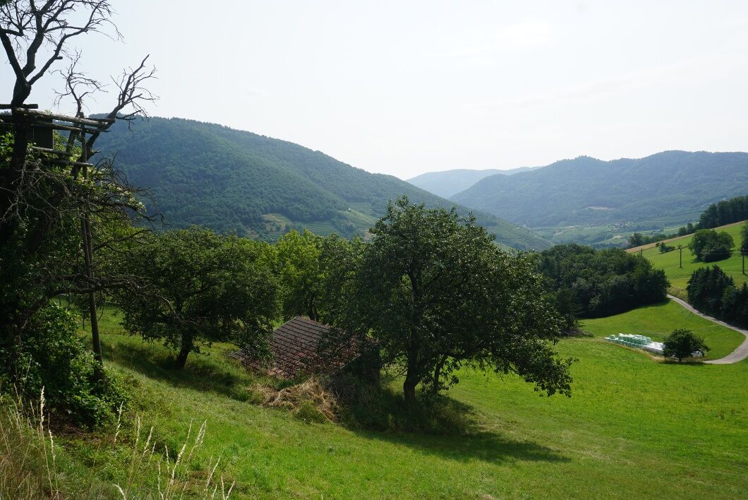
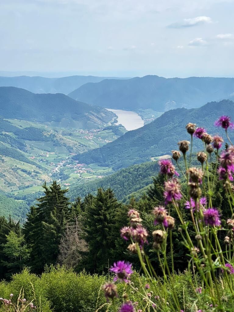
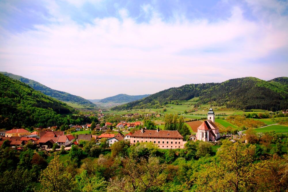
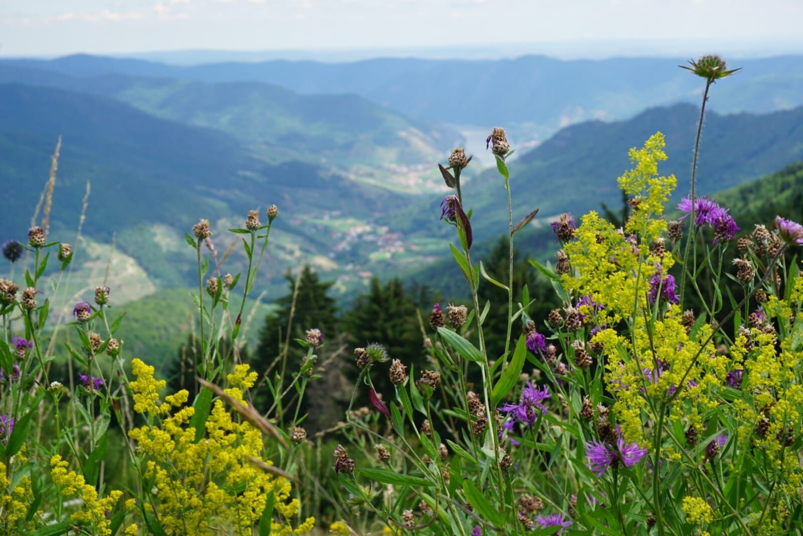
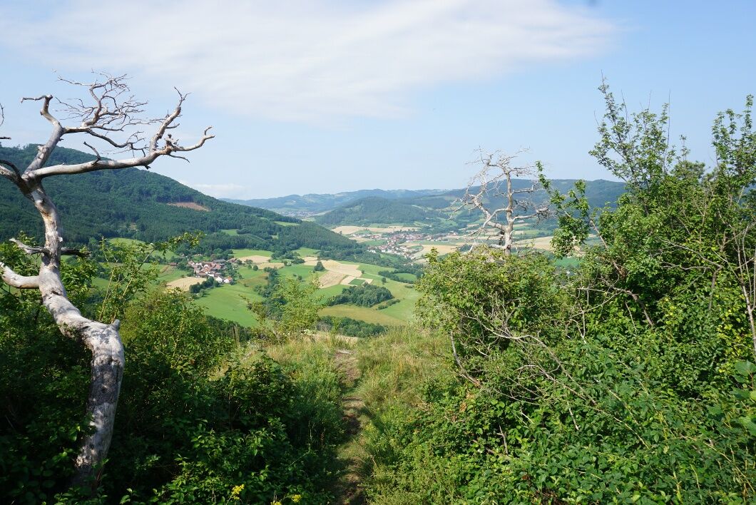
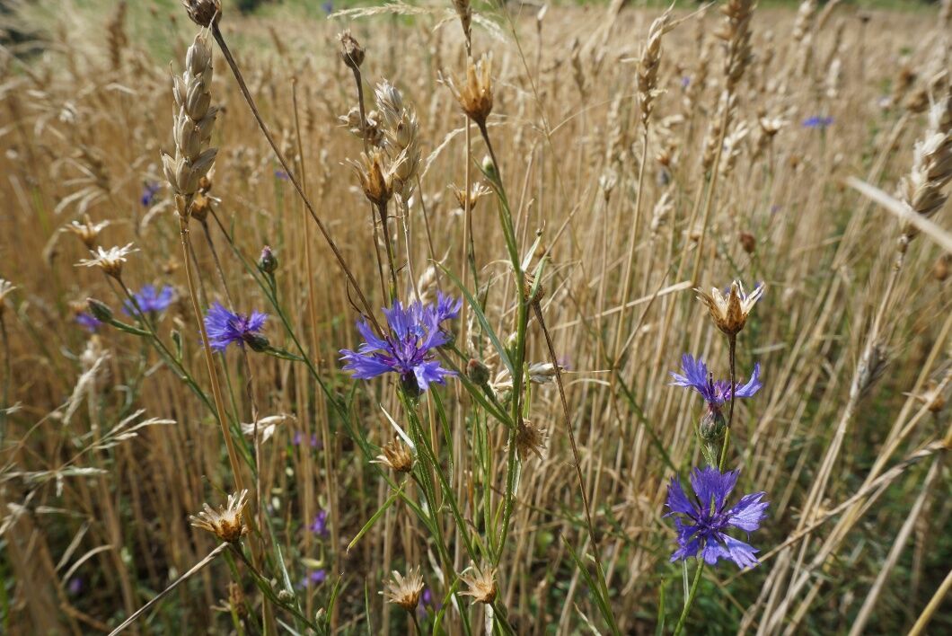
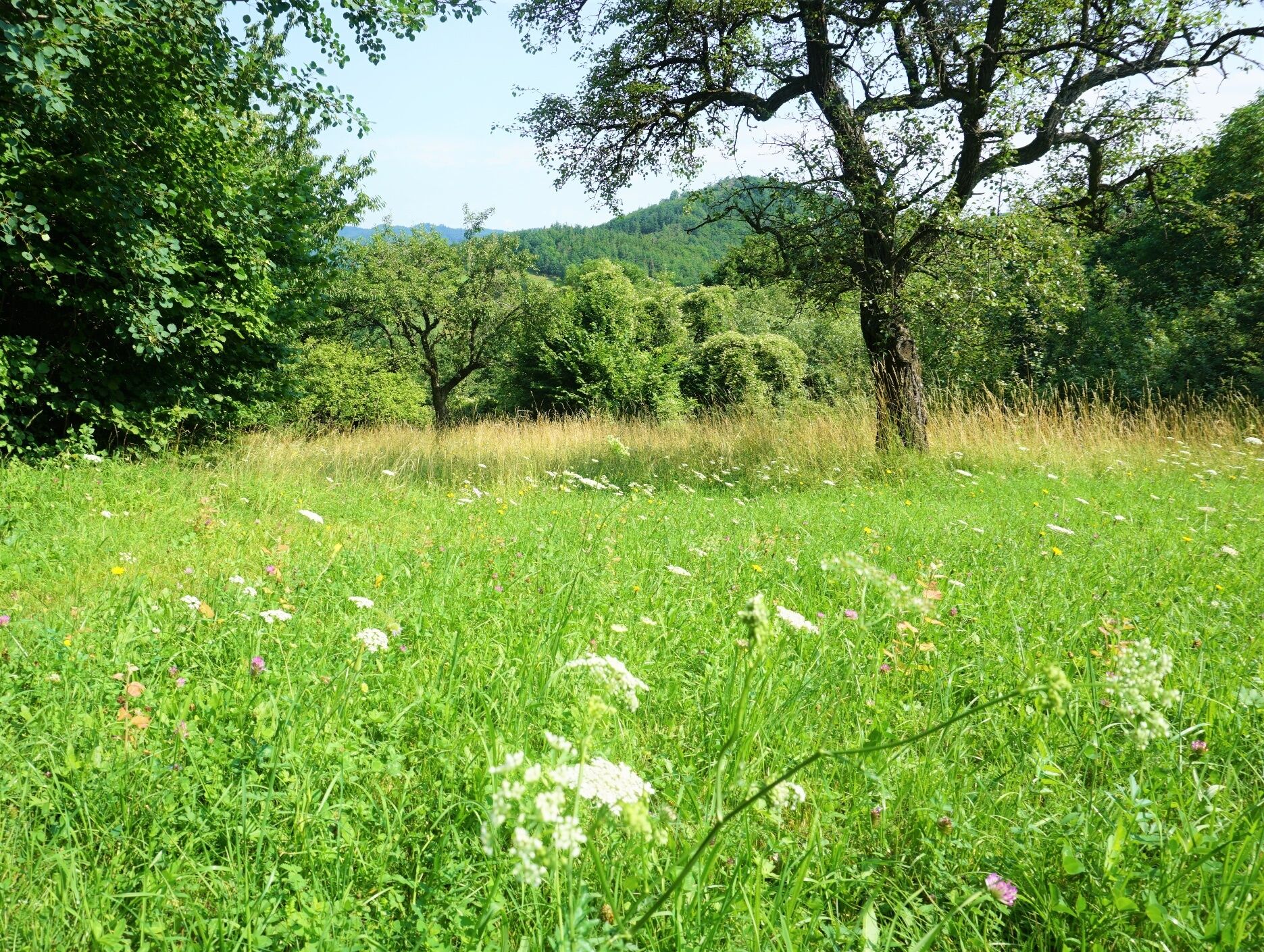

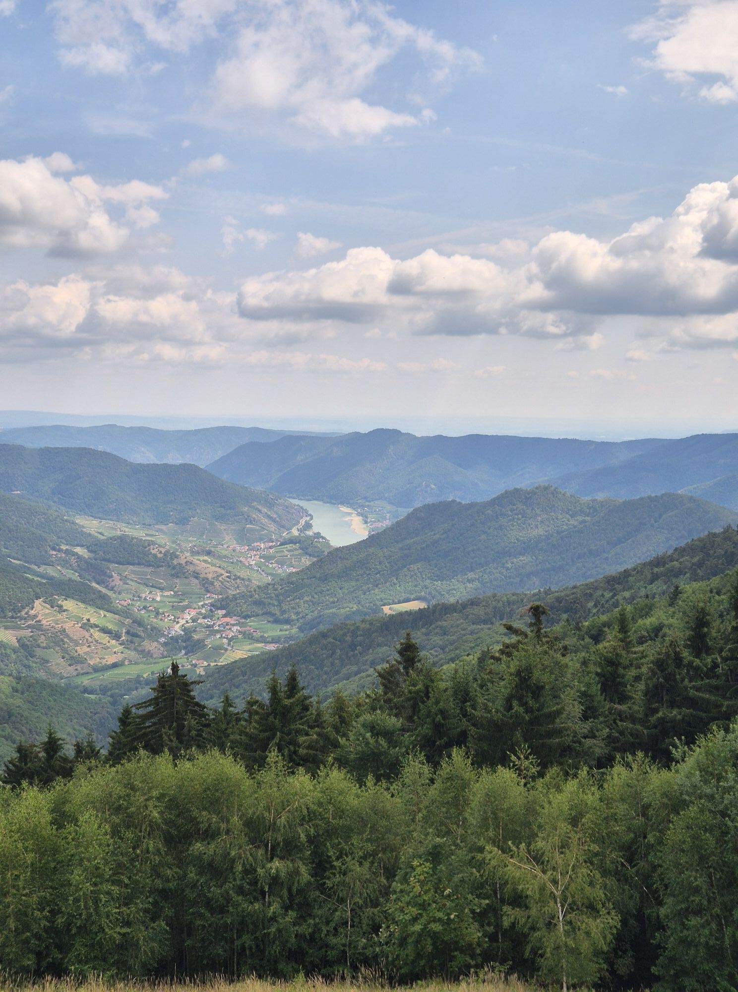
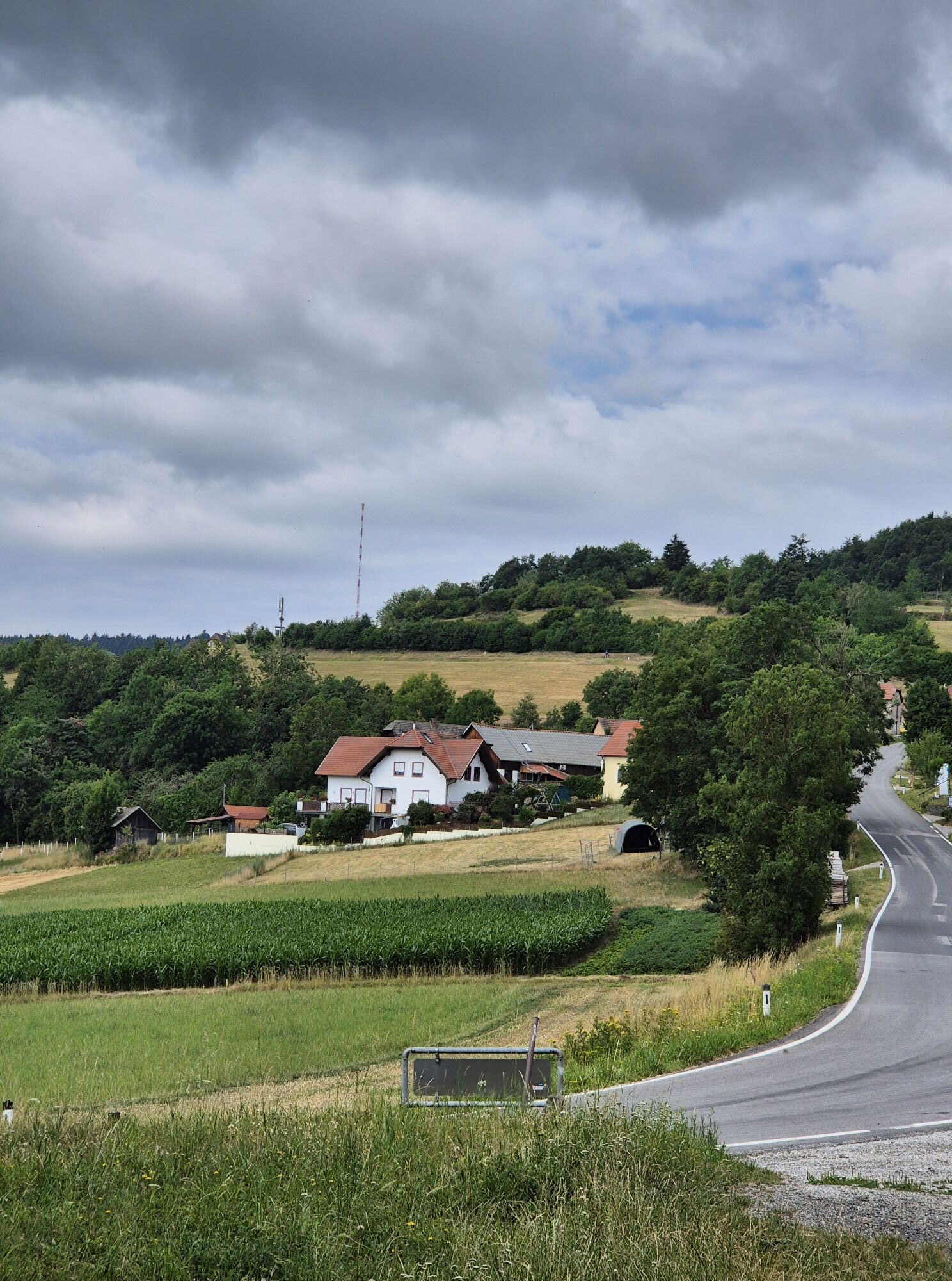
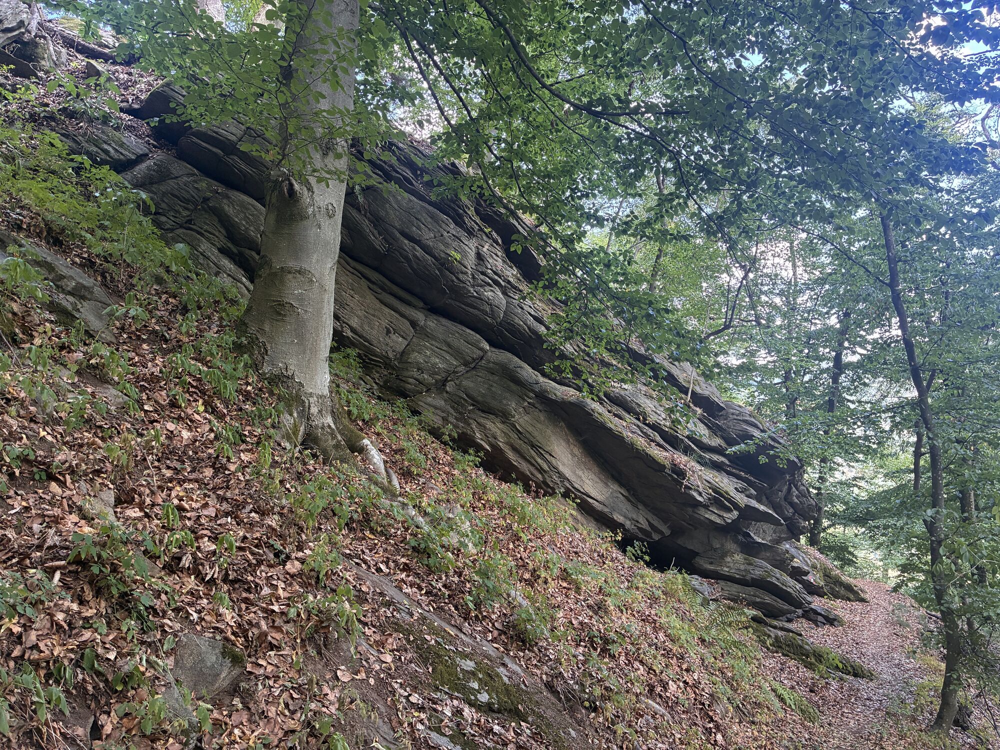
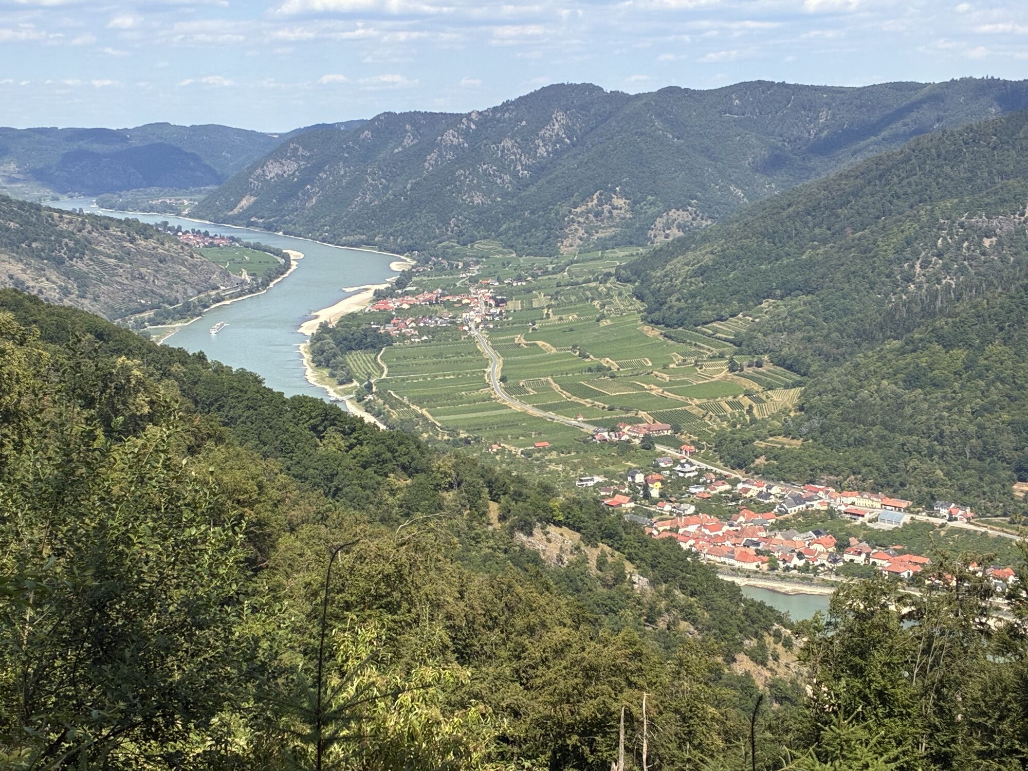
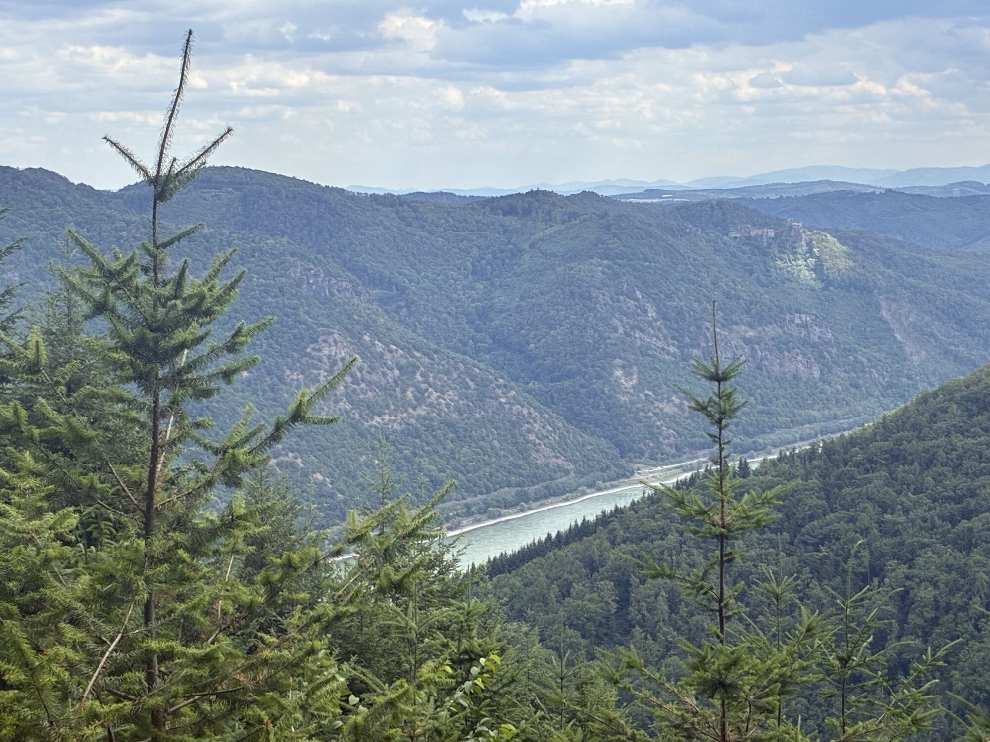
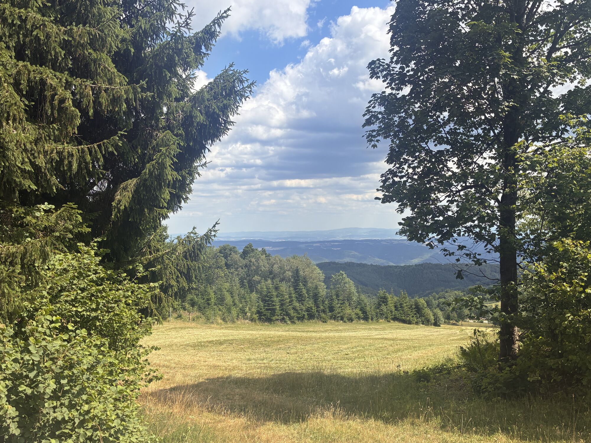
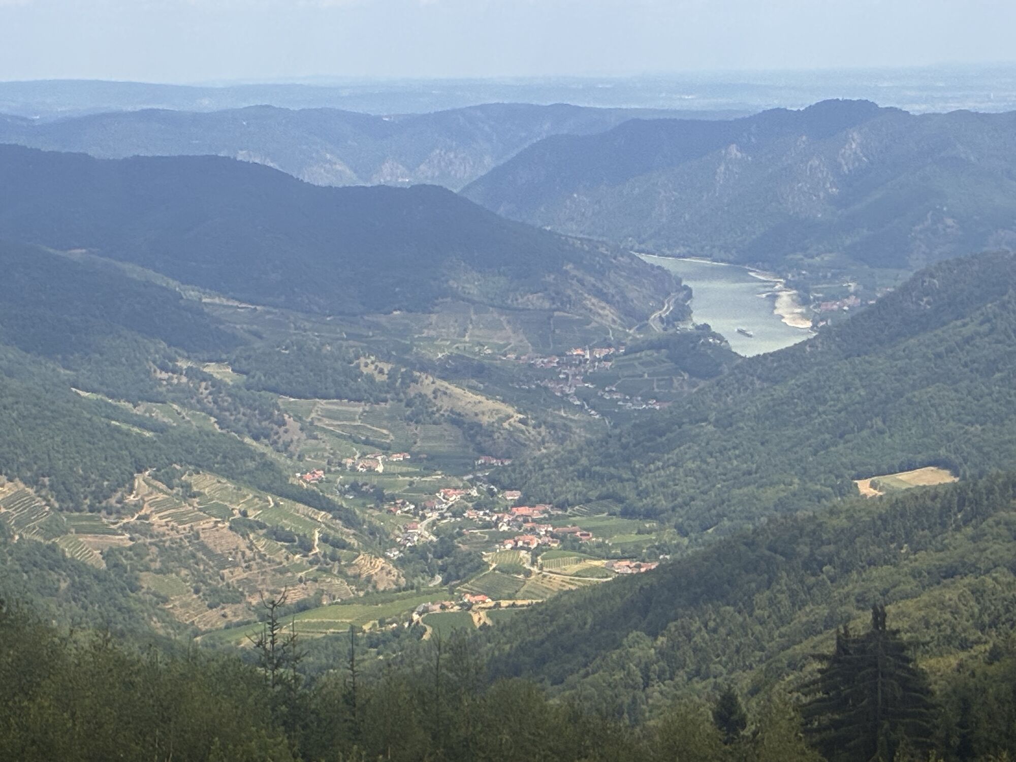
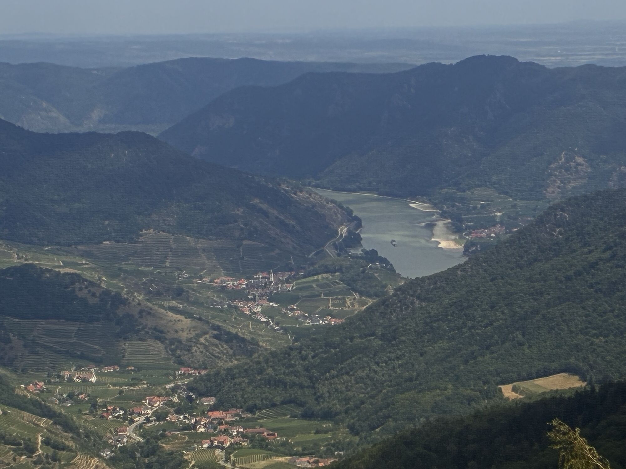
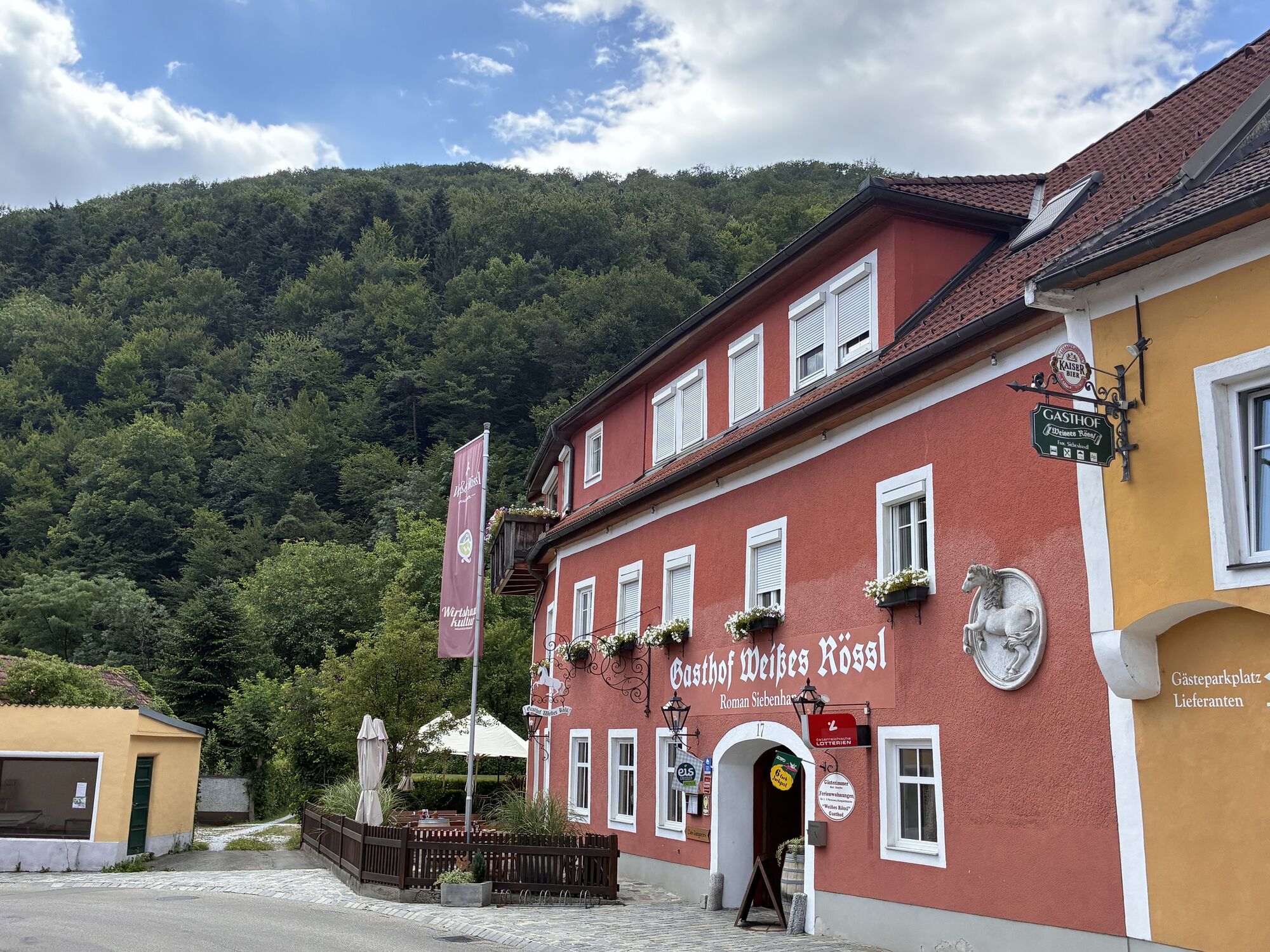
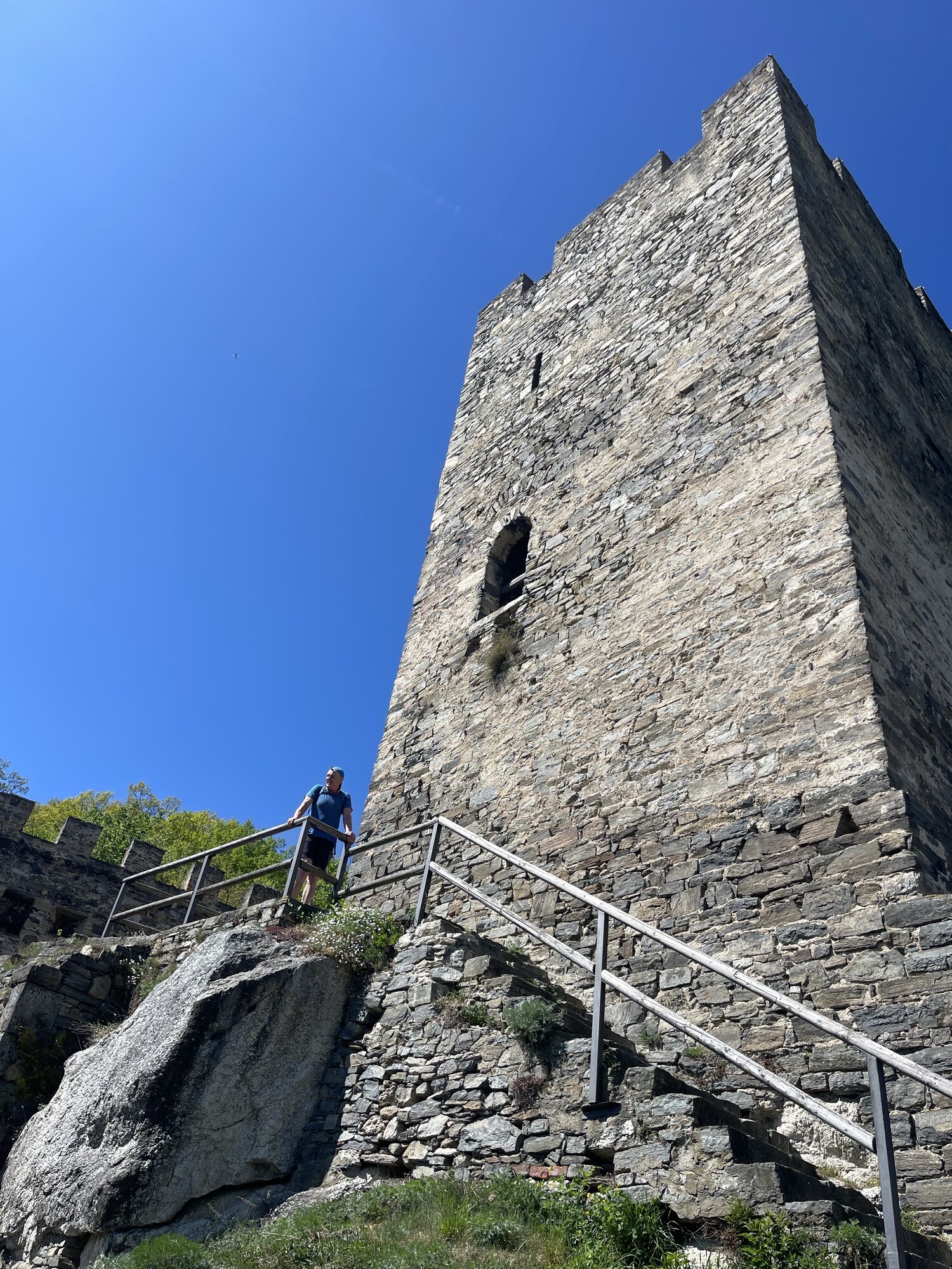
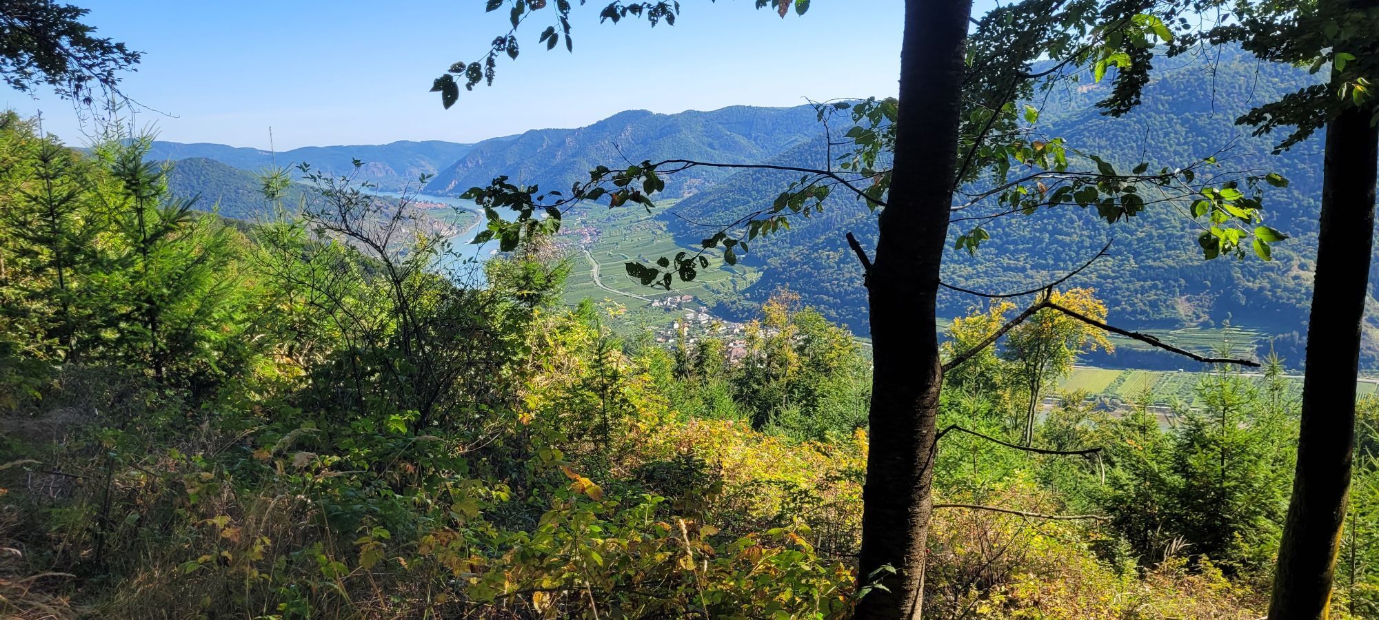
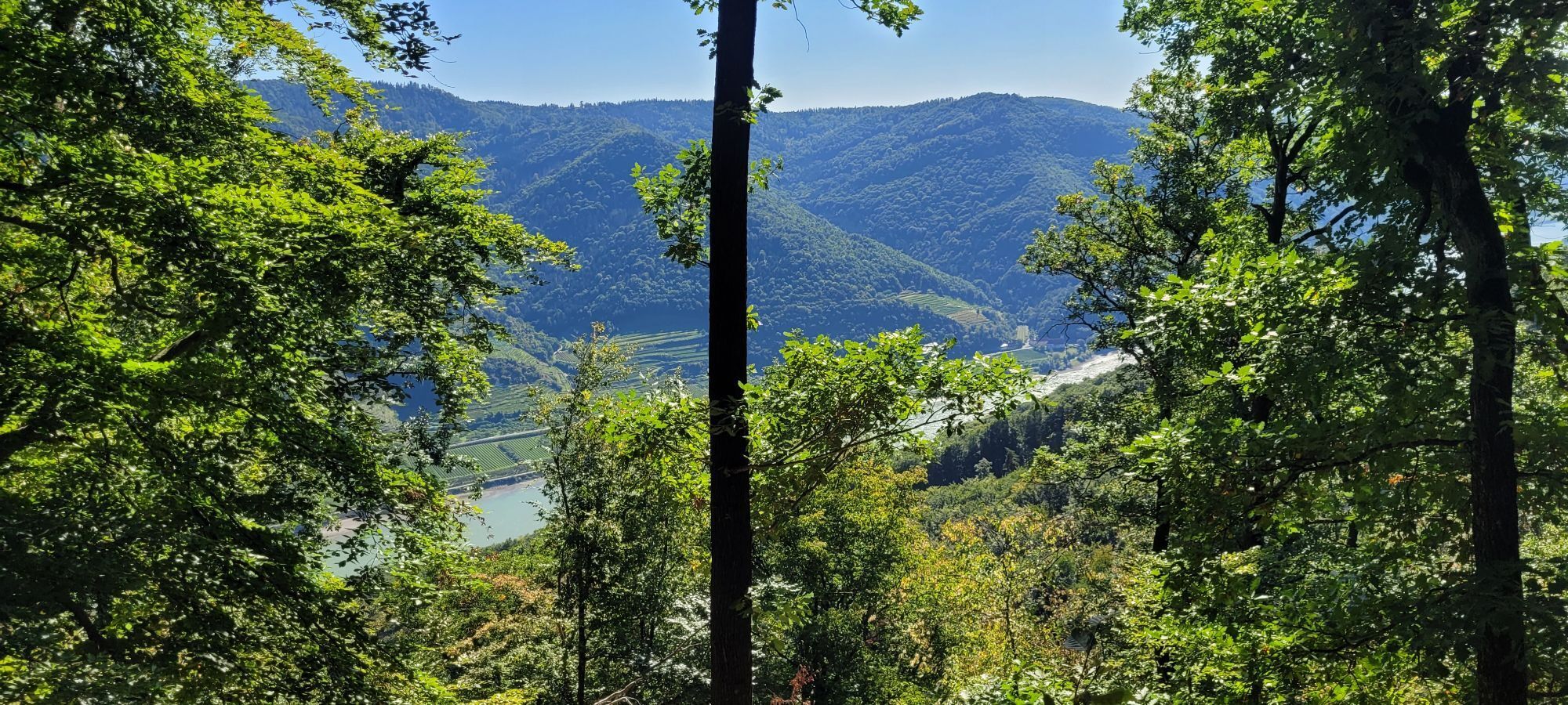
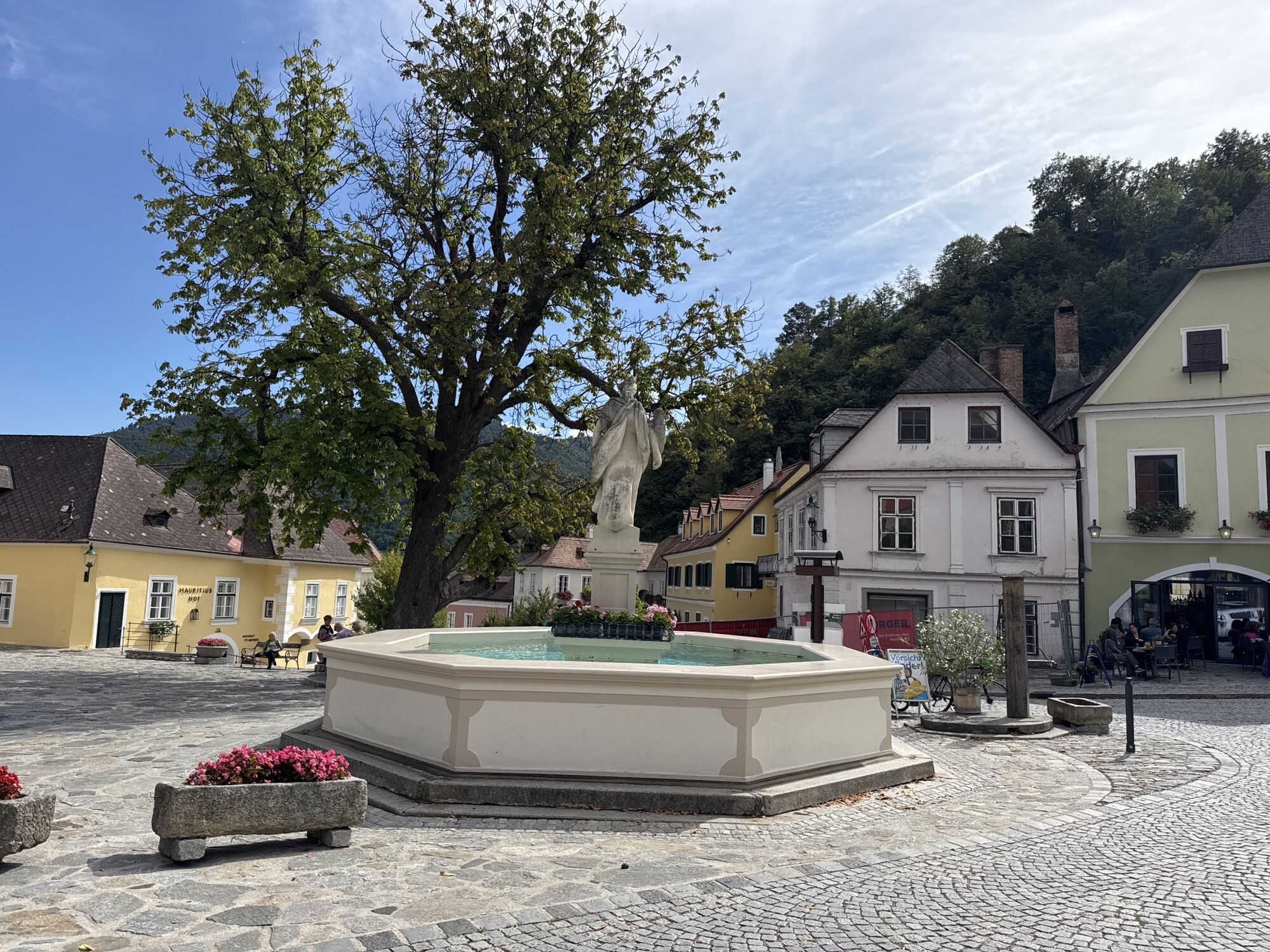
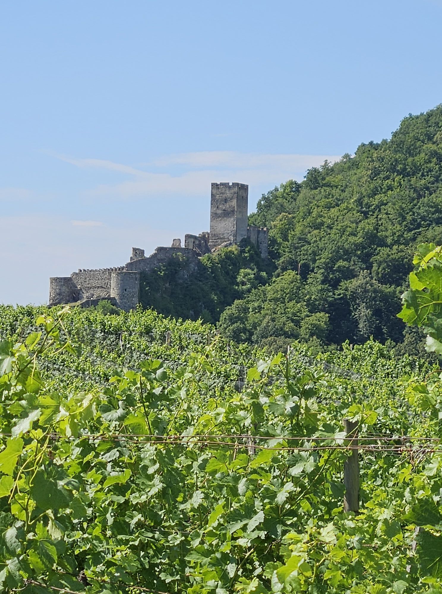
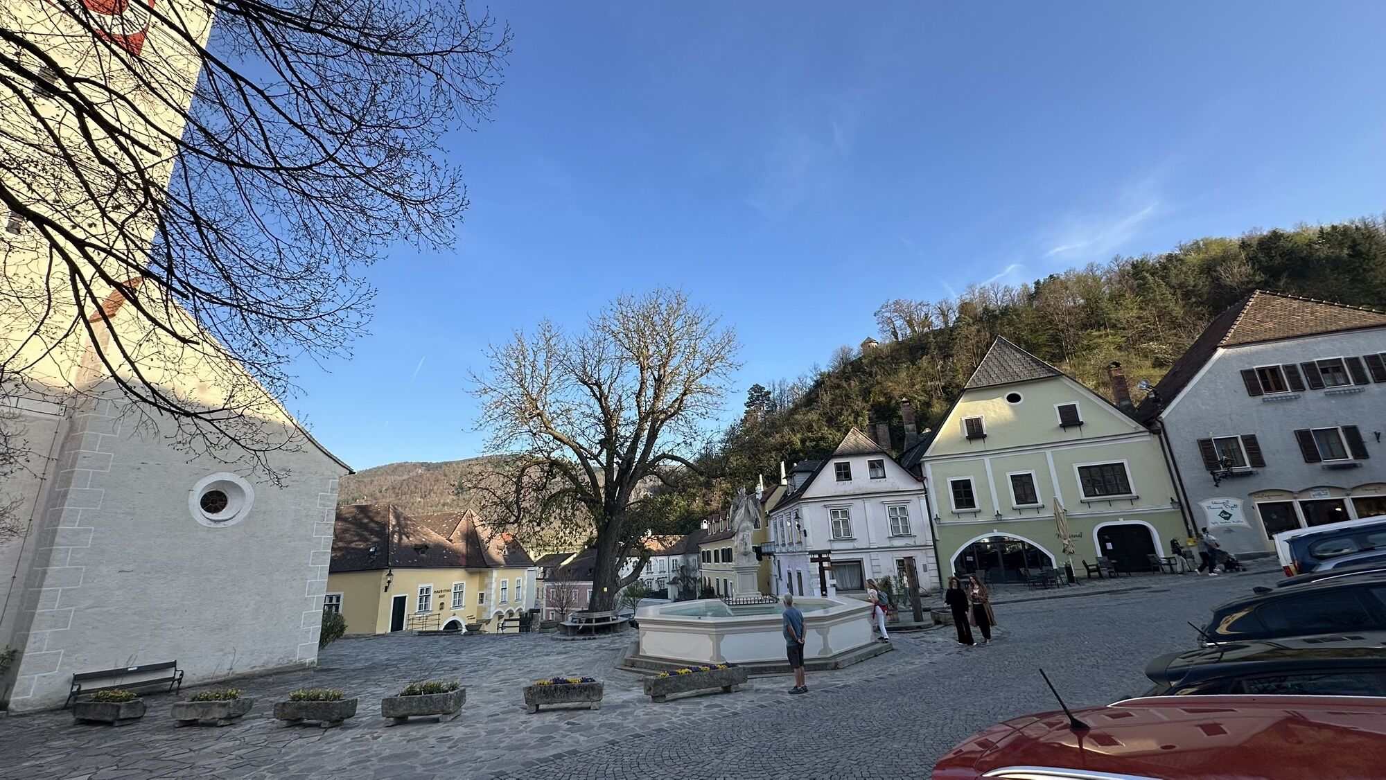
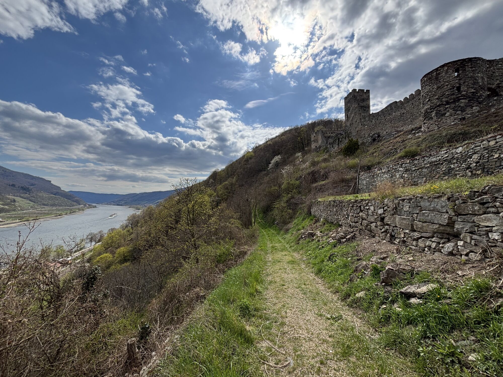
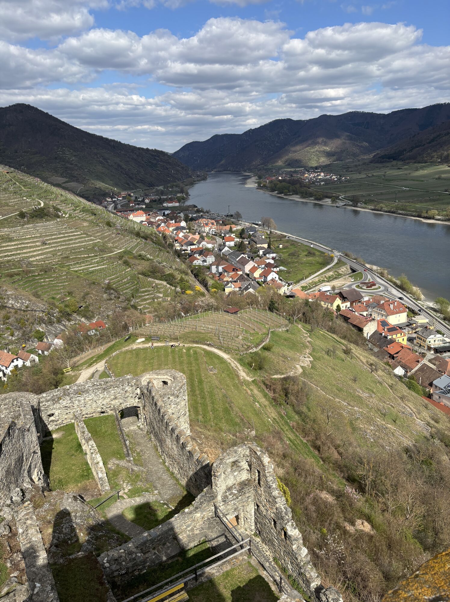
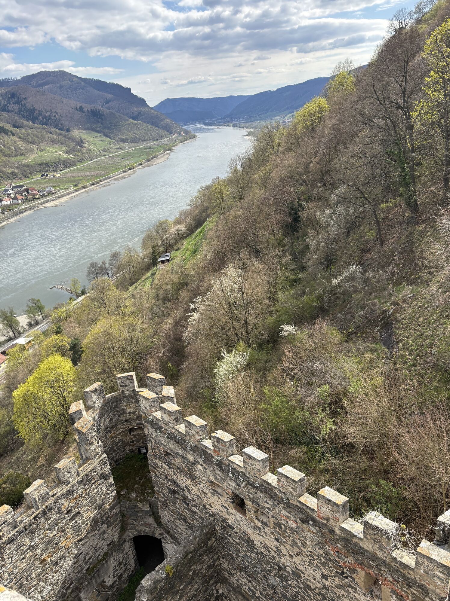
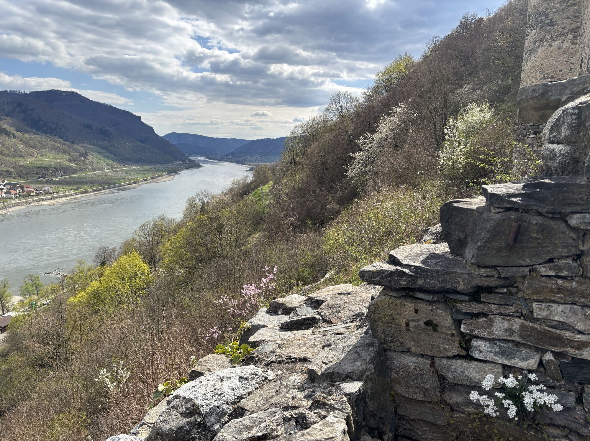
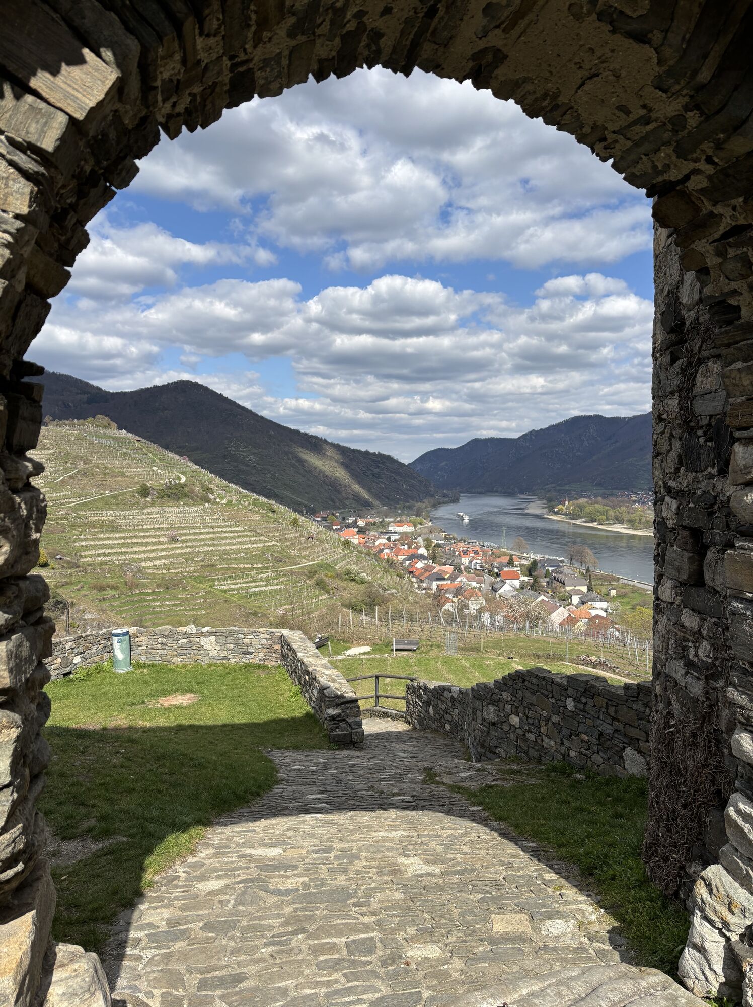
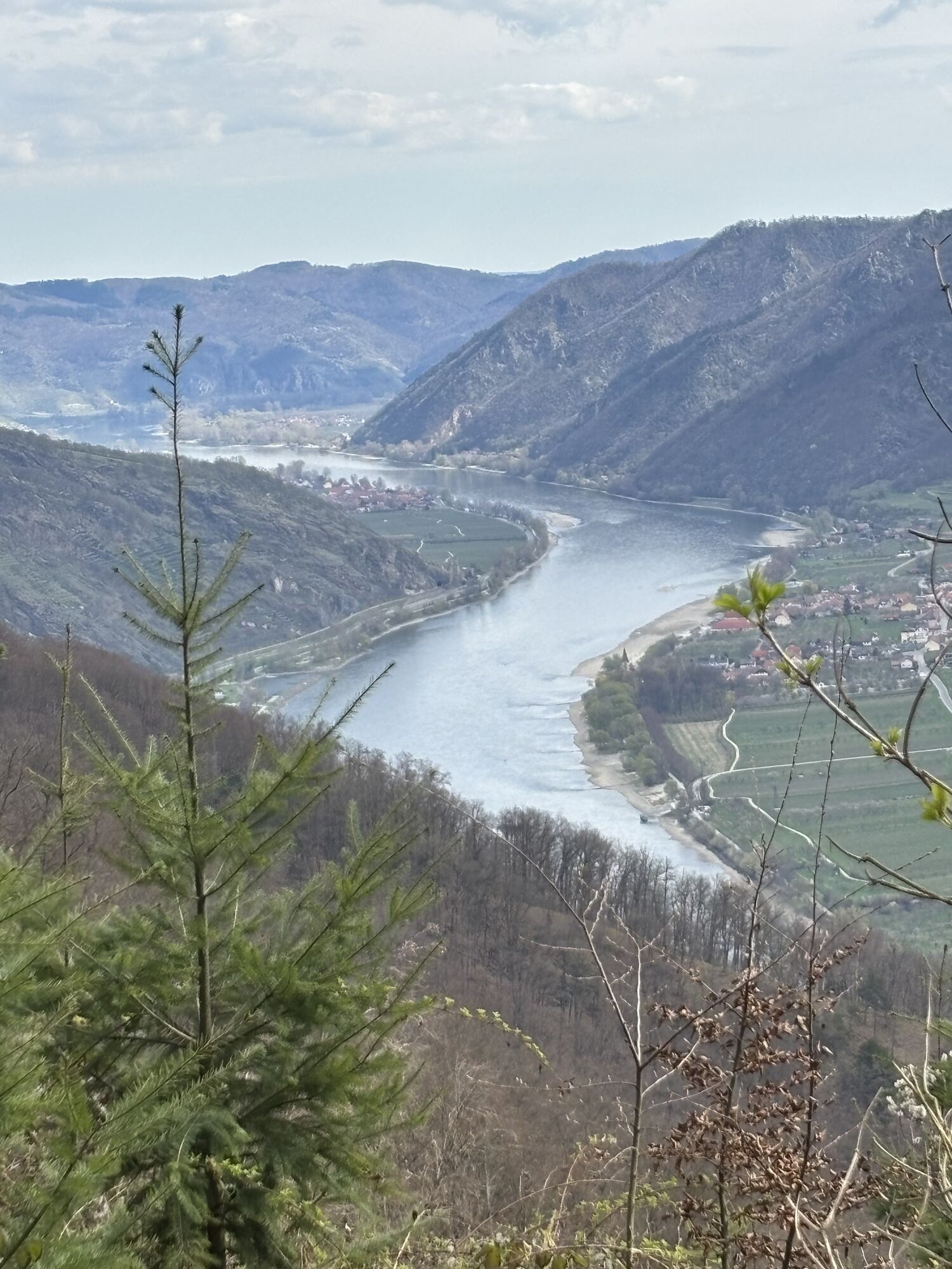
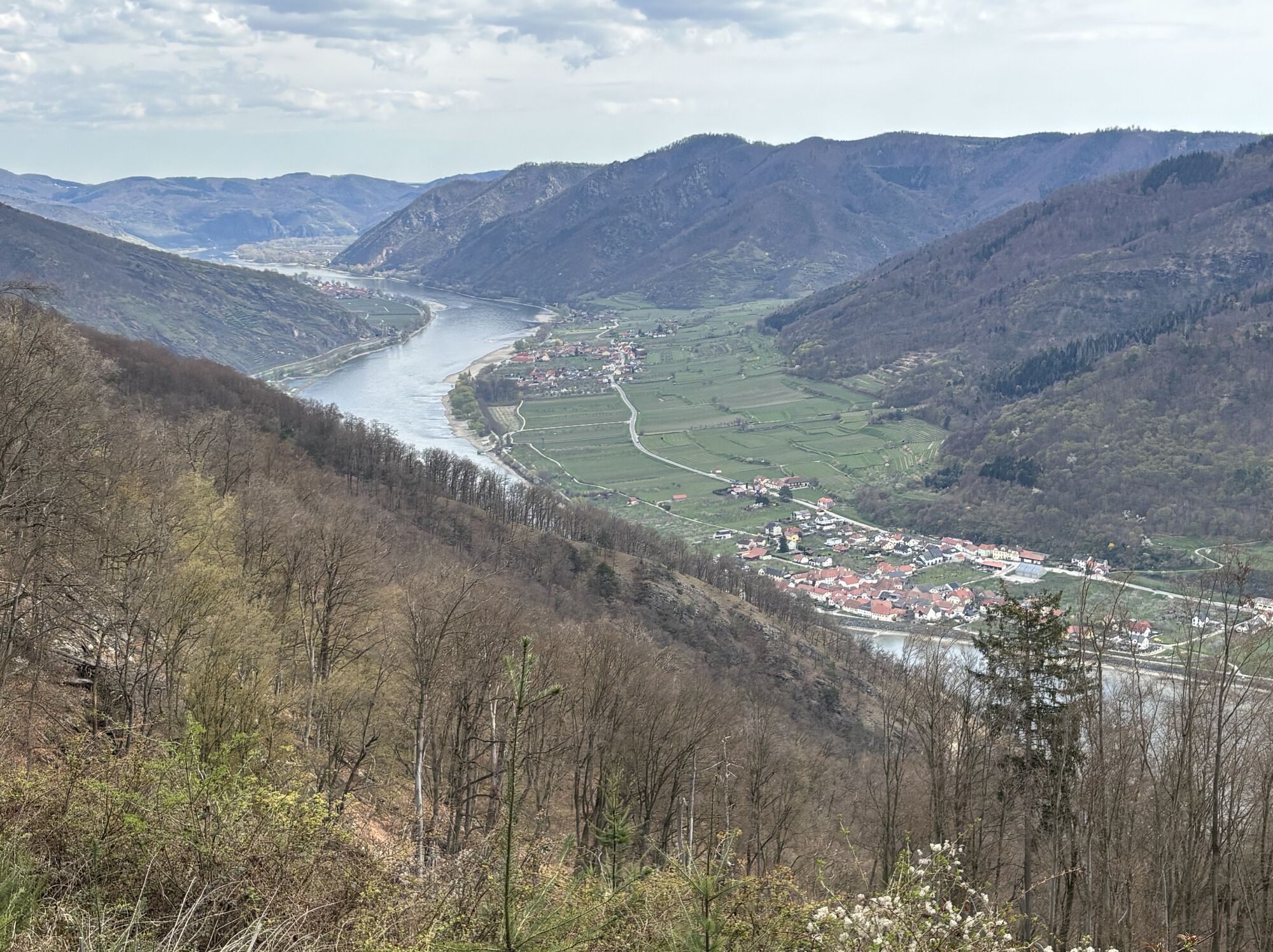
<p>We leave the Mühldorf marketplace heading towards Spitz and pass the inn Weißes Rössl and the municipal office. Then we turn right, cross the Spitzer Bach stream and begin the steep ascent to the 628 m high Trenning. Caution, it is steep here and partly exposed, good footwear is important! At the summit cross, we can take a short break and enjoy the magnificent panoramic view. Afterwards, our path leads down to the hamlet of Thurn and to the highest vineyard of Lower Austria, the Ried Trenning at 450 m. In Thurn, the ascent to the Jauerling starts. The old hollow path is often crossed by new forest roads and the mountain bike trail "WeinSteinTour". About an hour after Thurn, we reach the junction "Abzweigung Vießling" (signposted), from where a descent to Vießling and Spitz is possible. After a further 15 minutes, we arrive at the nature park house and Wachau terrace - the inn at Jauerling. Then we follow the long-distance trail 05 past the nature park house into the forest and to the Hubertus chapel. Turning left, we reach a barn and then turn left onto the main road. Our path leads through the hamlet of Benking to the bus stop, where we leave the road and enter the forest to begin the descent to Spitz. We cross the main road again and follow it briefly. At a left curve, we leave the road and go into the forest. Through a beautiful forest landscape with many lovely viewpoints inviting you to linger. Past the Hirschen-, Zwölfer-, and Elferkogel, shortly before Spitz, we cross the route of the stage to Aggsbach Markt. Turning left, we soon reach the Hinterhaus Castle ruins, follow the path past the pleasure house down to the Spitzer Bach. Here we keep left, cross the stream at the second bridge, and walk along the road to Radlbach and Quitten. Past the picturesque castle, we finally reach the church square in Spitz, where our stage ends at a wine tavern or inn.</p>
<p>Sturdy hiking boots, rain protection, sufficient drinks and food</p>
<p>By car: via the A1 to Melk and via the B3 to Spitz and Mühldorf or via the S5 to Krems and the B3 to Spitz and Mühldorf.</p>
<p>The places are accessible seven days a week by public transport (Wachau buses). Returning to the starting point of the hike is possible.</p><p>Spitz can be reached by bus line 715 (Krems-Spitz-Melk or Melk-Spitz-Krems) from Krems and Melk. The Spitzer Graben (Spitz-Mühldorf-Raxendorf-Pöggstall) is reachable seven days a week with bus line 718. </p><p>All bus connections can be found at <a href="www.vor.at">www.vor.at</a> </p><p>The Wachau railway only runs on weekends and public holidays (three times daily): <a href="www.wachaubahn.at">www.wachau... </p><p>Nextbike rental bike stations are located in Mühldorf and Spitz, <a href="www.nextbike.at">www.nextbike... </p>
<p>In the center of Mühldorf or at the train station or near the castle in Spitz.</p>
Dining options/opening hours:
Nature park house at the Jauerling, Wachau terrace: www.naturpark-gasthaus.at 02713/30017.
In Mühldorf there are two inns (Gasthaus Siebenhandl, www.7handl.at; 02713/8257, and Gasthaus Busch/Niederranna, 02713/8201) www.gasthaus-busch.at
Please note the reduced opening hours of Spitz’s gastronomy in winter. More info: www.spitz-wachau.at.
Wine taverns are in Spitz and Elsarn. Please note the current online wine tavern calendar at www.welterbesteig.at.
Accommodation options are available in Spitz and Mühldorf.
The most renowned and recommended gastronomy and accommodation establishments in the UNESCO World Heritage Wachau can be found at Best of Wachau. www.bestof-wachau.at
Získejte přehled
Vždy živě na místě s více než 9 500 webkamerami. bergfex Jako uživatel Pro si nyní můžete zobrazit odpovídající webové kamery pro mnoho prohlídek v aplikaci prohlídky z. Můžete si tak přímo prohlédnout aktuální podmínky.
Oblíbené prohlídky v okolí
-
4.6
Welterbesteig Wachau 02: Dürnstein-Weißenkirchen
světlodálková pěší trasa 15.9 km -
4.4
Welterbesteig Wachau 03: Weißenkirchen-Spitz
světlodálková pěší trasa 10.4 km -
4.9
Vogelbergsteig -Kanzel- Fesselhütte - Ruine Dürnstein zum Heurigen in Furth
středníTuristika 7.59 km -
4.7
Rundhöhenwanderweg Weißenkirchen in der Wachau - Schildhütten - Cholerakreuz - Weißenkirchen
světloTuristika 8.75 km -
4.7
Wachau: Seekopf - Hirschwand
středníTuristika 10.4 km -
4.6
Krems (Welterbesteig) - Dürnstein - Vogelbergsteig - Kanzel - Fesslhütte - Krems
středníTuristika 18.0 km -
4.5
Panoramaweg Weissenkirchen
světloTuristika 5.04 km -
4.5
Maria Langegg - Rote Wand - Hoher Stein - Kastlkreuz
středníTuristika 11.4 km -
4.5
Seekopf und Hirschwand
středníTuristika 2.83 km -
4.8
Wachau: Panoramaweg Rossatz
světloTuristika 10.8 km
Pěší turistika a stopování


Nenechte si ujít nabídky a inspiraci pro vaši příští dovolenou
Vaše e-mailová adresa byl přidán do poštovního seznamu.





