







Jauerling Round 06: Raxendorf-Mühldorf
<p>>>Here you go to the hiking report by Wachau Inside!</p>

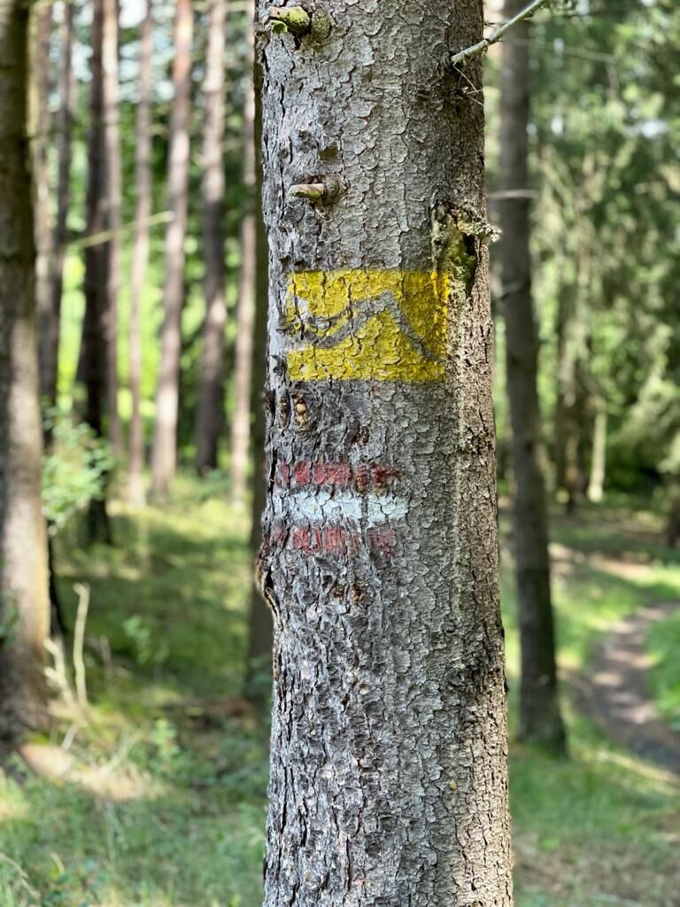
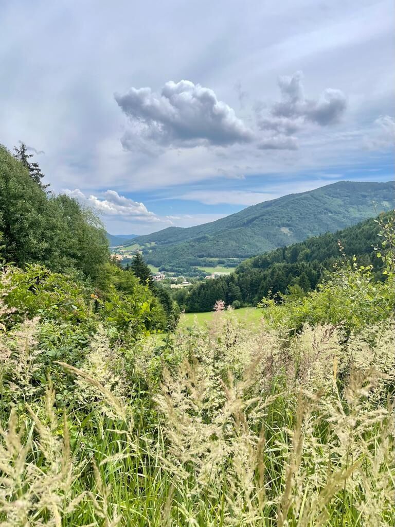
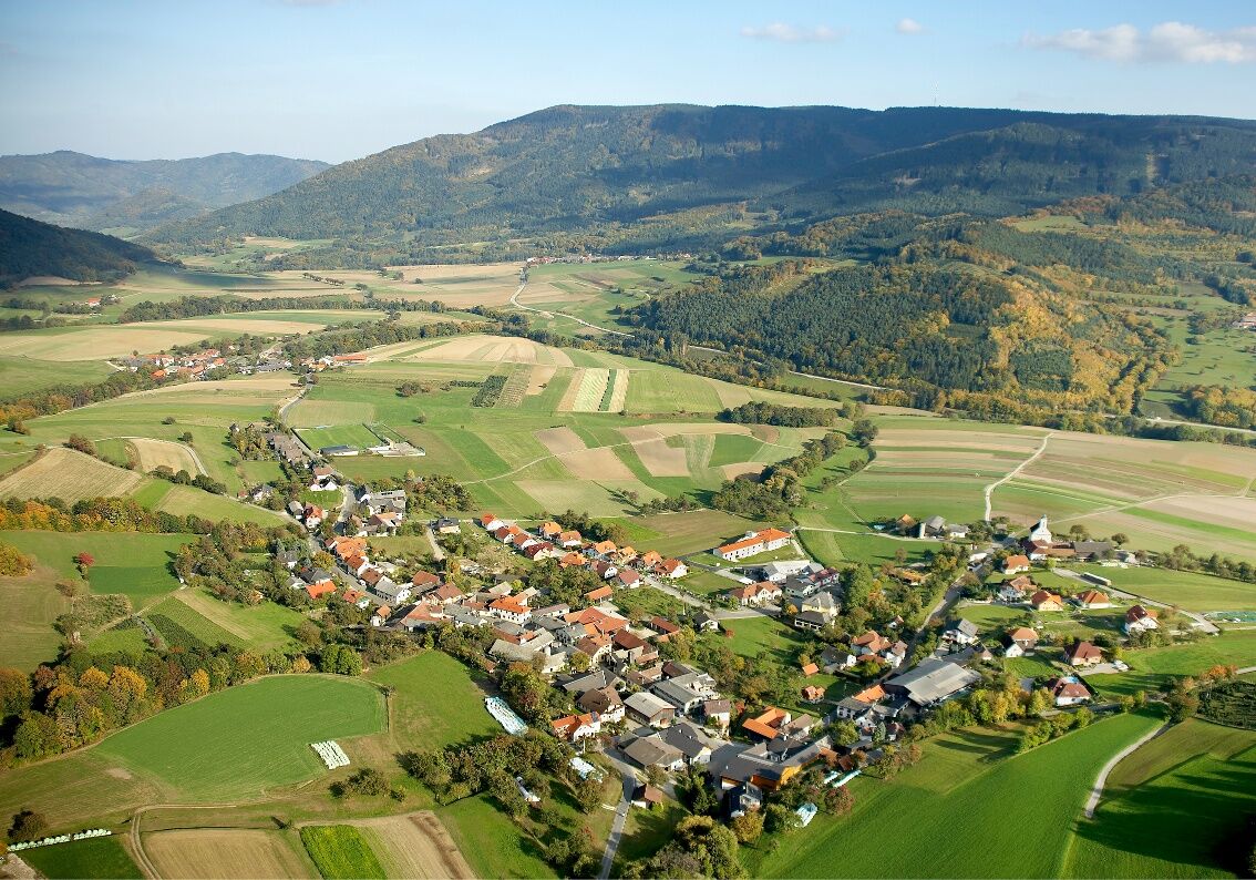
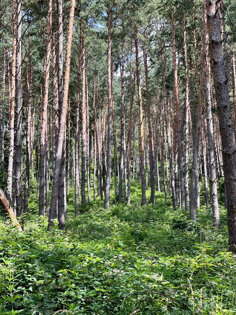
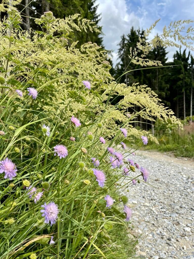
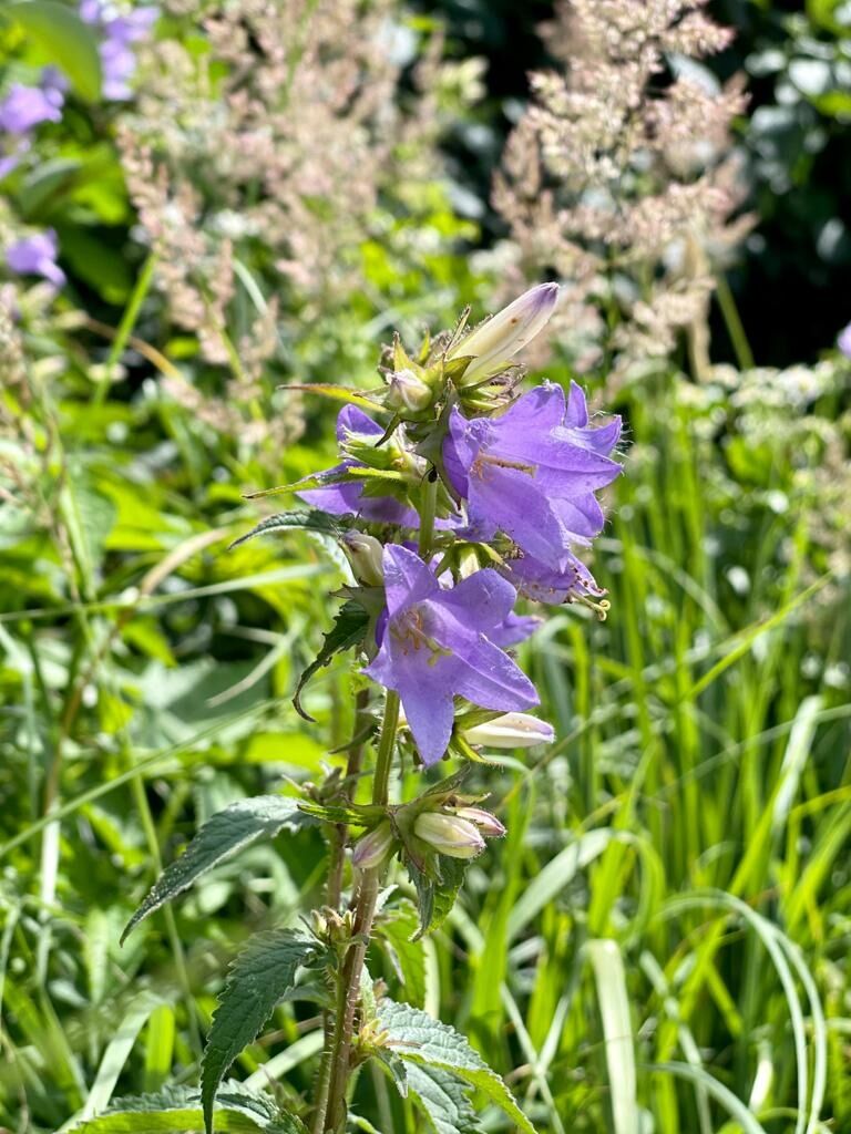

<p>From the marketplace in Raxendorf, we follow the main street past the lovingly restored arsenal and the current fire brigade museum through the village. To the left, we take a well-walkable farm track up to the small hamlet of Frühwirt. We pass through the idyllic village and continue hiking east through the forest. Below the summit of the Großer Berg, we reach the highest point of the route and follow the path in switchbacks down to Trandorf. At the fortified church, we enter the village and follow the main street to the left. At the café in the curve, we can take a cozy break. Afterwards, we keep left and hike on an idyllic farm track to Amstall. At the entrance of the village, we cross the Amstaller Bach and then immediately turn sharply right to follow the road along the brook to Wegscheid. In the village, we turn left onto the main street, keep left after the last house, and then hike uphill on a farm track to the hamlet of Ötz. On the right side of the road, we see the Celtic stone, an old waymark from the Celtic era. We pass through the village, then turn right and follow the path to Mühldorf, where we end the stage at the marketplace.</p>
<p>Sturdy hiking boots, rain protection, sufficient drinks and food</p>
<p>West Autobahn A1 to the Melk exit, continue via B3 and B216 to Weiten or further to Mühldorf.</p>
<p>The locations are accessible by public transport. Return to the starting point of the hike is possible.</p><p>You can find all bus schedules at <a href="www.vor.at">www.vor.at</a> </p><p>A rental bike station Nextbike (EUR 1/hour) is located in Mühldorf/Marktplatz, <a href="www.nextbike.at">www.nextbike... </p>
<p>At the municipal office near the marketplace in Raxendorf or in the center of Mühldorf.</p>
Dining options/opening hours
Kurvencafe Trandorf, summer season: May-October from 5:00 pm, winter season: October-April from 4:00 pm. Opening hours depend on the weather, please call ahead, 02713/8126.
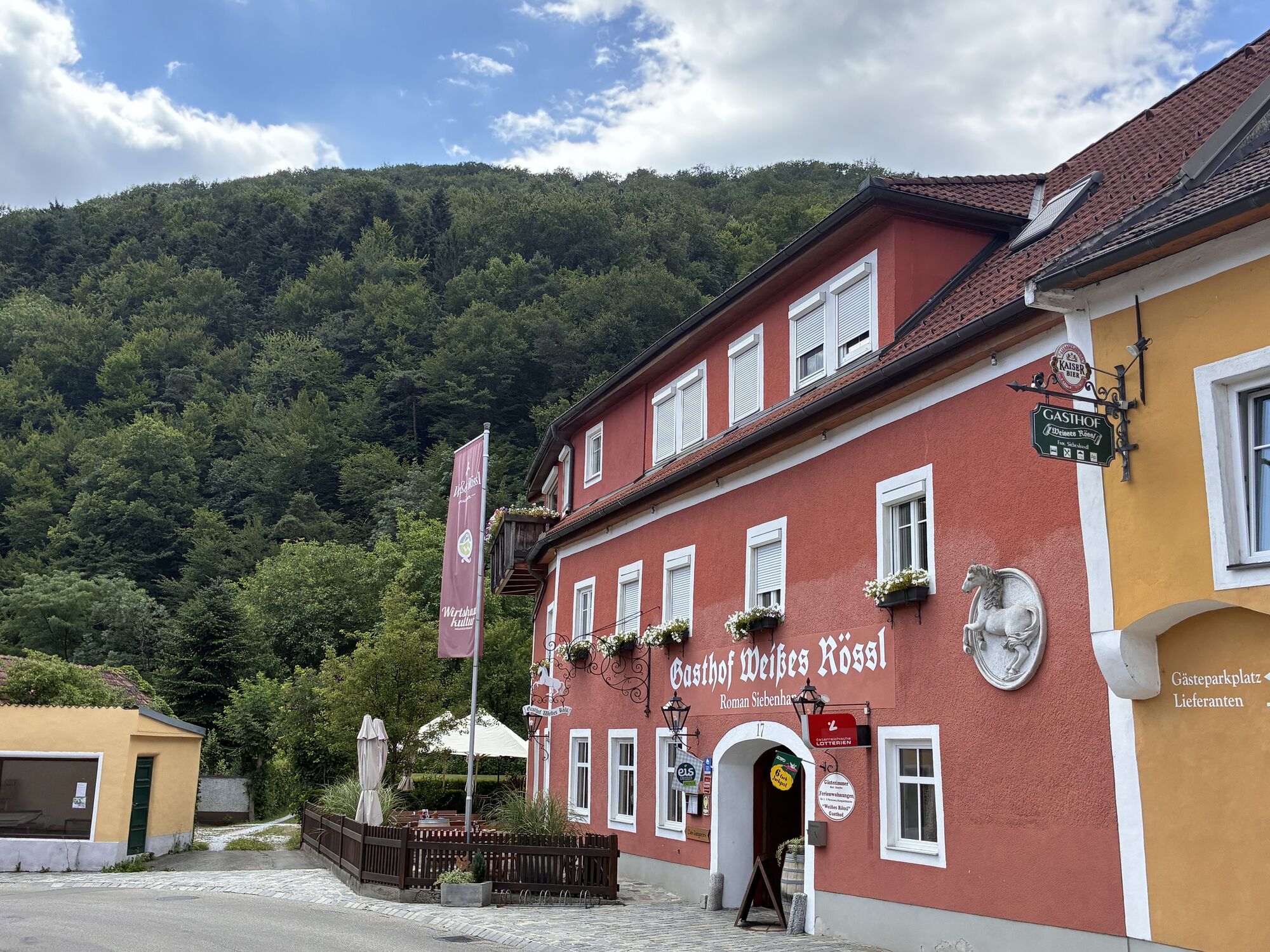
In Mühldorf, both inns (Gasthaus Siebenhandl, www.7handl.at; 02713/8257, and Gasthaus Busch/Niederranna, 02713/8201) www.gasthaus-busch.at are closed on Mondays.
The Celtic stone in Ötz is worth seeing. The exact meaning and age of the stone are not known.
At the Hoher Jauerling, the nature park offers various hiking trails. The path "Above us the wide, wide sky" is well suited for a walk and provides information about the Jauerling, the nature park communities, and the flora and fauna in the region. Younger hikers also find motivation to walk through the forest along the 10 stations which can be explored with an app. More information at www.naturpark-jauerling.at.
Získejte přehled
Vždy živě na místě s více než 9 500 webkamerami. bergfex Jako uživatel Pro si nyní můžete zobrazit odpovídající webové kamery pro mnoho prohlídek v aplikaci prohlídky z. Můžete si tak přímo prohlédnout aktuální podmínky.
Oblíbené prohlídky v okolí
-
4.4
Welterbesteig Wachau 03: Weißenkirchen-Spitz
světlodálková pěší trasa 10.4 km -
4.7
Rundhöhenwanderweg Weißenkirchen in der Wachau - Schildhütten - Cholerakreuz - Weißenkirchen
světloTuristika 8.75 km -
4.7
Wachau: Seekopf - Hirschwand
středníTuristika 10.4 km -
4.5
Panoramaweg Weissenkirchen
světloTuristika 5.04 km -
4.5
Maria Langegg - Rote Wand - Hoher Stein - Kastlkreuz
středníTuristika 11.4 km -
4.5
Seekopf und Hirschwand
středníTuristika 2.83 km -
4.5
Hirschwand und Seekopf
středníTuristika 9.09 km -
3.9
Spitz a. d. Donau Jauerling Schwallenbach retour 16.04.2016
středníTuristika 20 km -
3.9
Spitz - Buchberg - Runde
středníTuristika 9.60 km -
4.5
Welterbesteig Wachau 08: Emmersdorf-Melk
světlodálková pěší trasa 9.90 km

Pěší turistika a stopování


Nenechte si ujít nabídky a inspiraci pro vaši příští dovolenou
Vaše e-mailová adresa byl přidán do poštovního seznamu.





