





Dolmens route. Etxarri Aranatz
Úroveň obtížnosti: T3
From the trail panel, we will follow a track to the right sharing the route with GR-323 Bernoa Road up to the vicinity of the San Adrian hermitage. From the hermitage, along the track we will reach an...
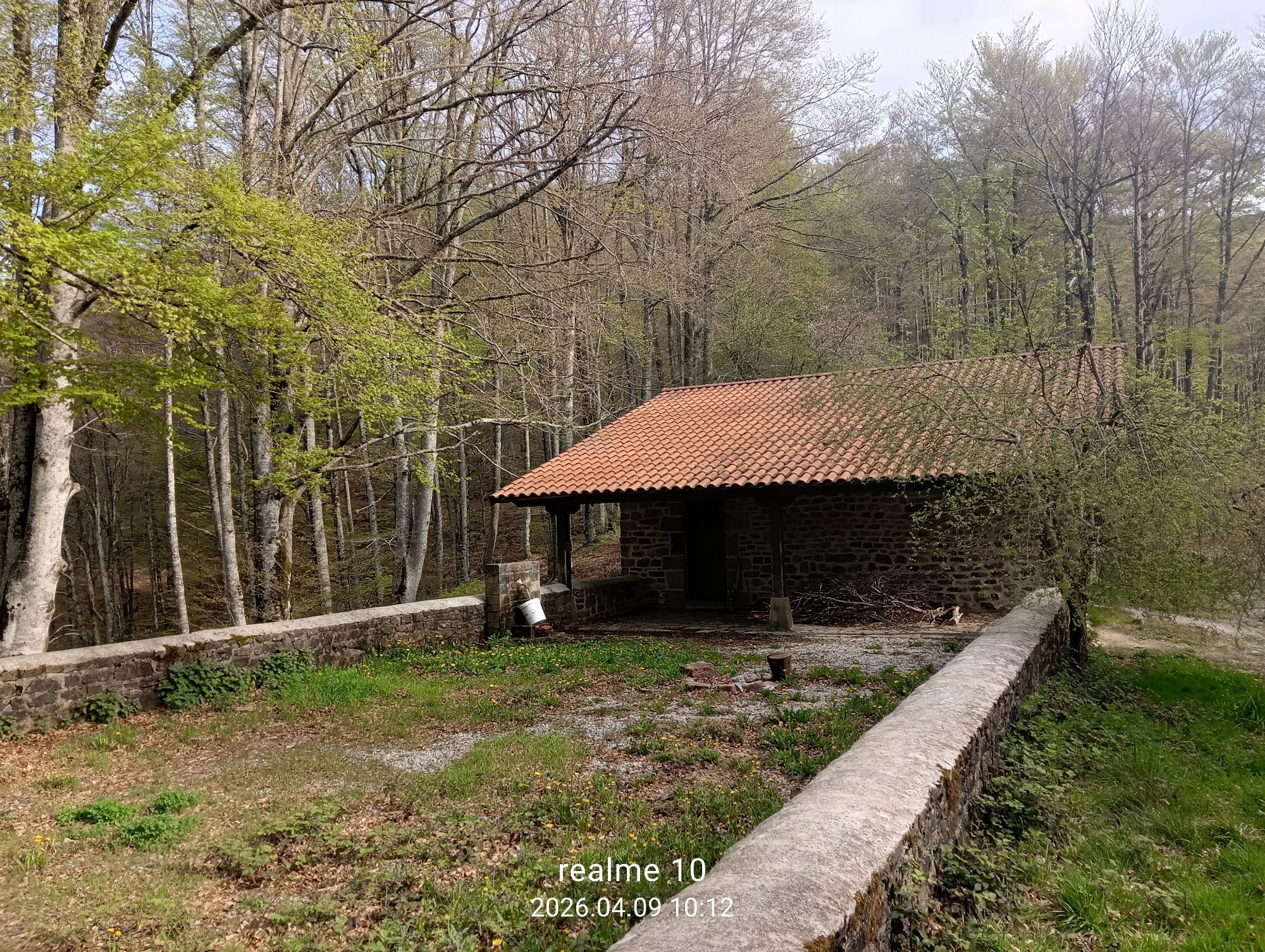
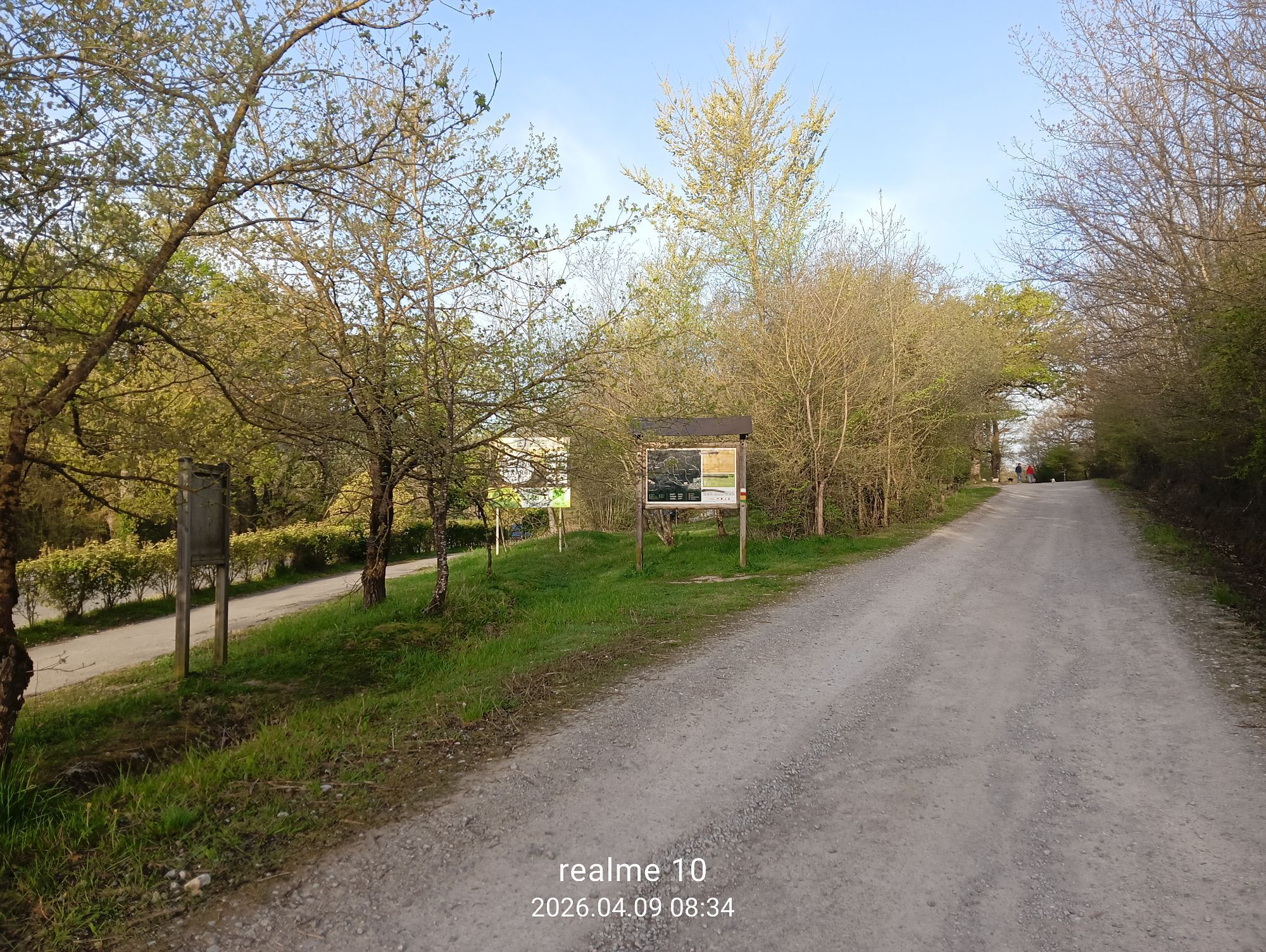
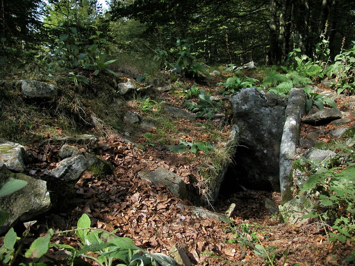
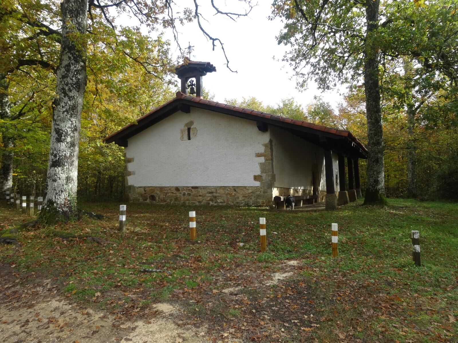
From the trail panel, we will follow a track to the right sharing the route with GR-323 Bernoa Road up to the vicinity of the San Adrian hermitage. From the hermitage, along the track we will reach an area with tables to continue uphill on a path to the Beitzeta dolmen. Along the way, sometimes poorly defined, we will come across the dolmens of Iruiturrieta, Jentilzulo and Bentatxar up to the Alto de Irumugarrieta, which offers beautiful views towards Gipuzkoa. Remaining are the dolmens of Zelatamuno, Mintegitxuta and Txaradigorri, until a left fork that will lead us to Fagamendi and Maitzegur. Here begins the increasingly steep zigzag descent. There is the option to take the short Dolmens Route variant. Due to the distance, elevation gain and type of terrain, it is recommended only for hikers with good endurance and equipment.

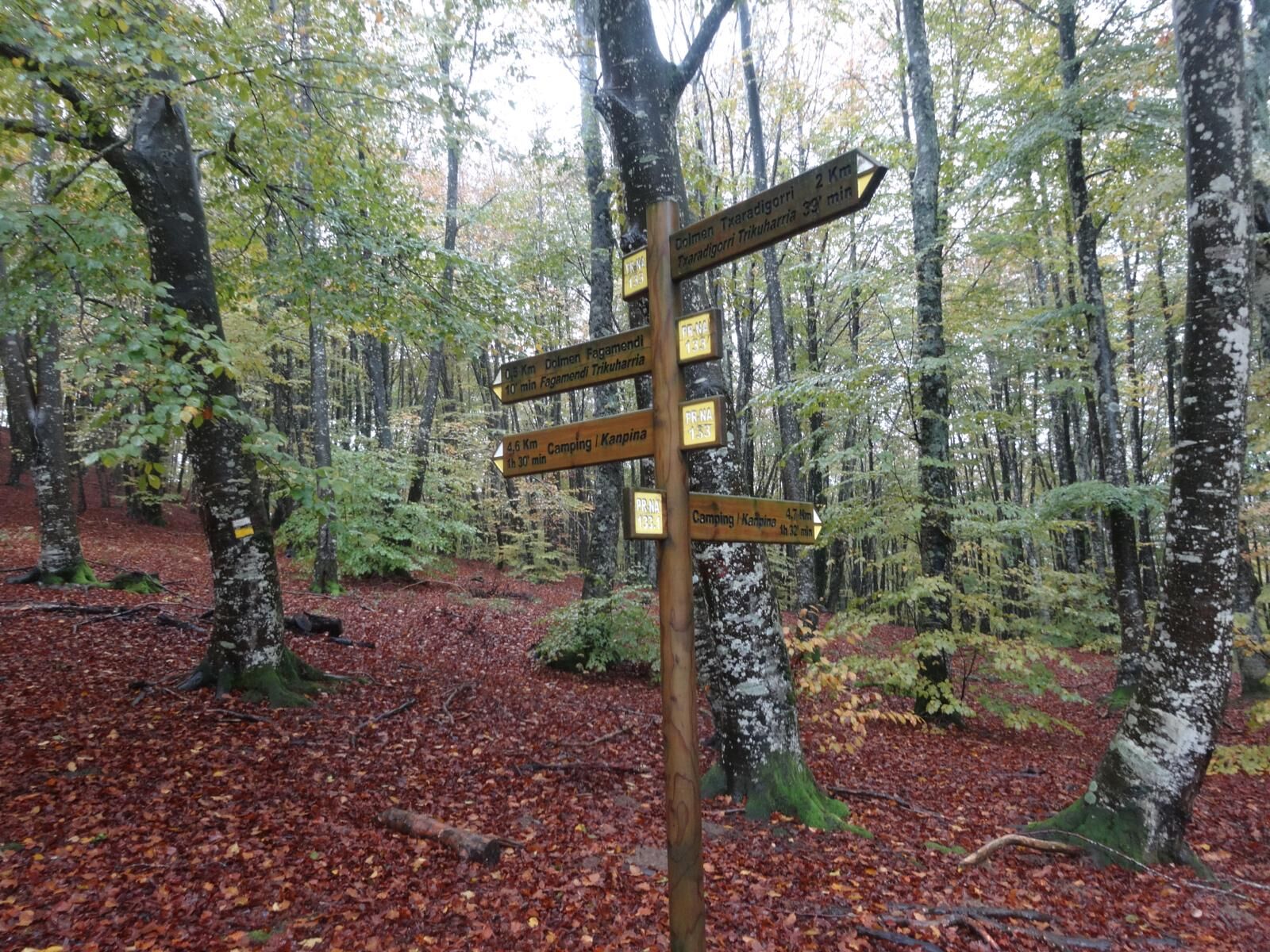
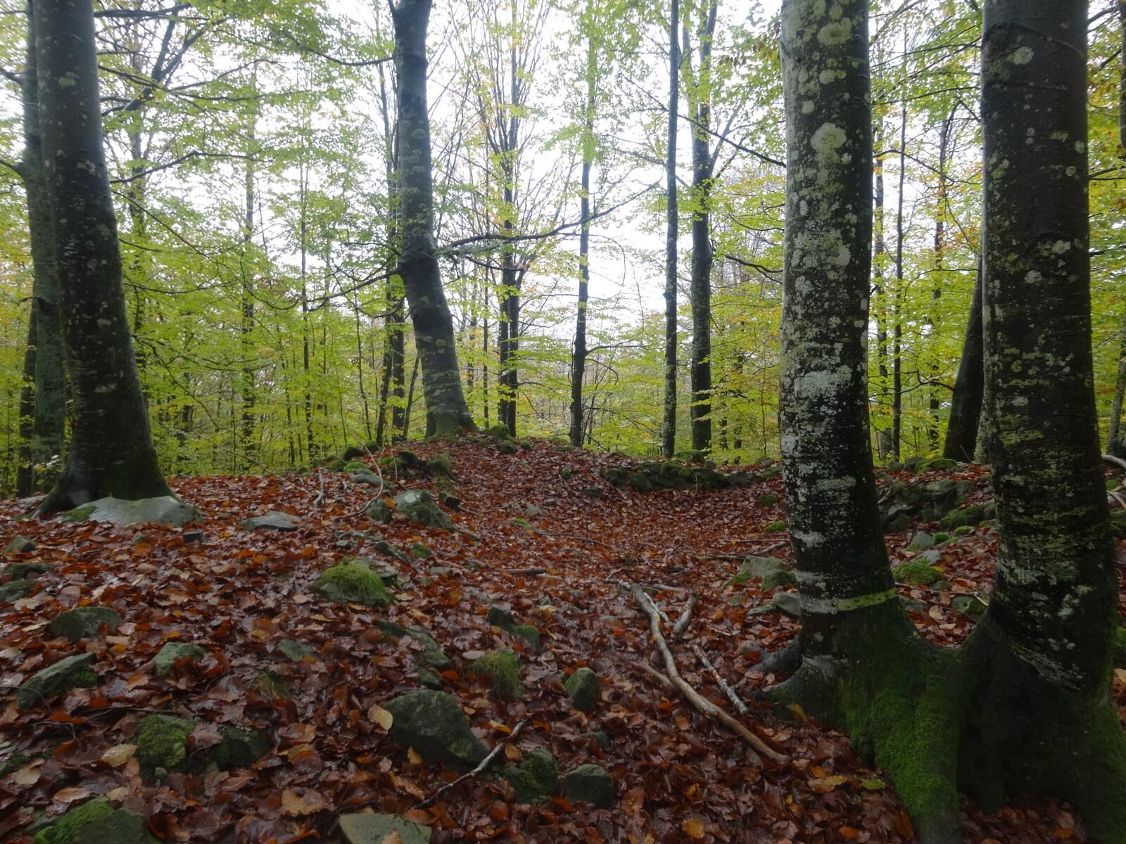

From the trail panel, we will follow a track to the right sharing the route with GR-323 Bernoa Road up to the vicinity of the San Adrian hermitage. From the hermitage, along the track we will reach an area with tables to continue uphill on a path to the Beitzeta dolmen. Along the way, sometimes poorly defined, we will come across the dolmens of Iruiturrieta, Jentilzulo and Bentatxar up to the Alto de Irumugarrieta, which offers beautiful views towards Gipuzkoa. Remaining are the dolmens of Zelatamuno, Mintegitxuta and Txaradigorri, until a left fork that will lead us to Fagamendi and Maitzegur. Here begins the increasingly steep zigzag descent. There is the option to take the short Dolmens Route variant. Due to the distance, elevation gain and type of terrain, it is recommended only for hikers with good endurance and equipment.
Ano
Hiking shoes or boots.
Water and food.
Navigation tools.
Mobile phone.
Backpack.
Multitool or knife (recommended)
Clothing suitable for the weather.
First aid kit.
Trail marked with white and yellow marks and posts with directional arrows PR NA-133. It coincides at the beginning with SL-NA 137 Millennium Oaks (marked in white and green) and with GR-323 Bernoa Road (marked in white and red), and in its upper section with GR-12, GR-282 and GR-121 (marked in white and red). Information panel at the start and several thematic panels along the route.
T3
In Sakana there is a network of marked trails. More information: www.sakana.eus/recorridos
In Sakana there is a network of marked trails. More information: www.sakana.eus/recorridos
Oblíbené prohlídky v okolí
-
Millenary Oaks
středníTuristika 4.58 km -
Dolmens route. Urbasa-Andia Natural Park
středníTuristika 12.8 km -
Sakanako Itzulia - Camping Arbizu Trasa 1
světloSilniční kolo 52.4 km -
Arbizu Trails - Camping Arbizu Route 8
středníMountainbike 29.4 km -
Cesta do Los Robles - Camping Arbizu Cesta 7
světloMountainbike 36.9 km -
Aralar - Camping Aralar Route 8
heavyMountainbike 38.2 km -
Beriain/San Donato von Uharte-Arakil
středníHorská turistika 10.1 km -
Etxarri Aranatz. The return to Sakana
heavyMountainbike 60.5 km -
Ataun - Intsusburu - Ataun (urbitarte sagardotegia)
světloTuristika 14.0 km -
Etxarri Aranatz - Sorazuri - Gañaundi - Zamar
středníTuristika 12.2 km
Pěší turistika a stopování


Nenechte si ujít nabídky a inspiraci pro vaši příští dovolenou
Vaše e-mailová adresa byl přidán do poštovního seznamu.





