




Hermitage of Zuberoa
Úroveň obtížnosti: T2
Parking and Information panel at the trailhead on NA-176 Road, KM 4.9. Circular route that from the start enters a lush forest of Scots pine and beautiful boxwood corridors, along a path that ascends in...
Parking and Information panel at the trailhead on NA-176 Road, KM 4.9. Circular route that from the start enters a lush forest of Scots pine and beautiful boxwood corridors, along a path that ascends in zigzags to Cerro Mariañe (1,036 m) which offers great views of the valley. The trail continues to connect with a forest track that goes to the right and after about 85 meters leaves it to turn right and descend among boxwood and Scots pines until it connects with another forest track section, which is then left by turning right to follow a path that leads to the hermitage of Nuestra Señora de Zuberoa, located on the hillside with good views of the surroundings. A path is taken that descends gently to a meadow with a ruined shepherd's hut, and later re-enters the forest to descend steeply in zigzags, ending at the NA-176 road. The last kilometer is walked along the roadside.

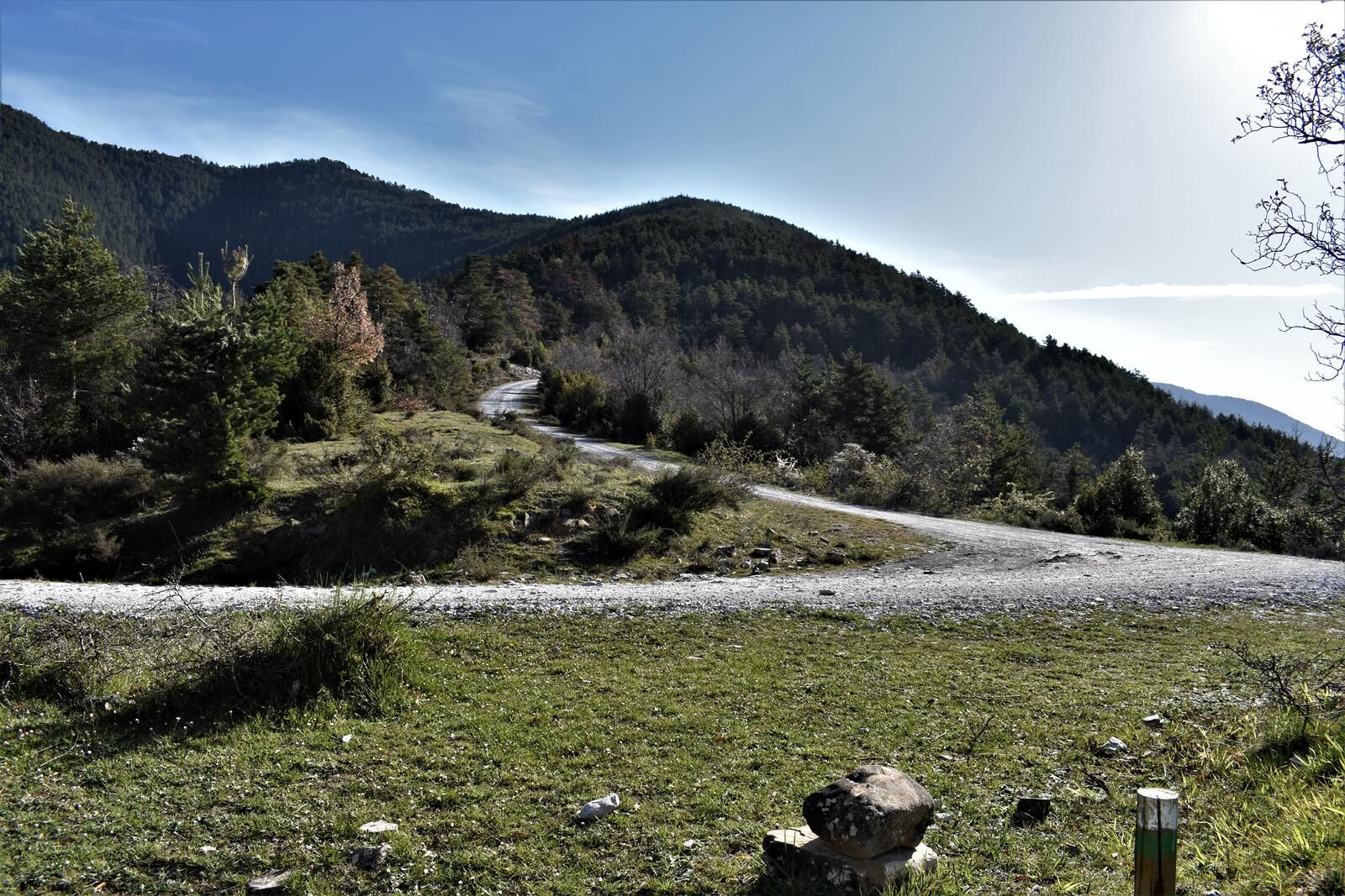
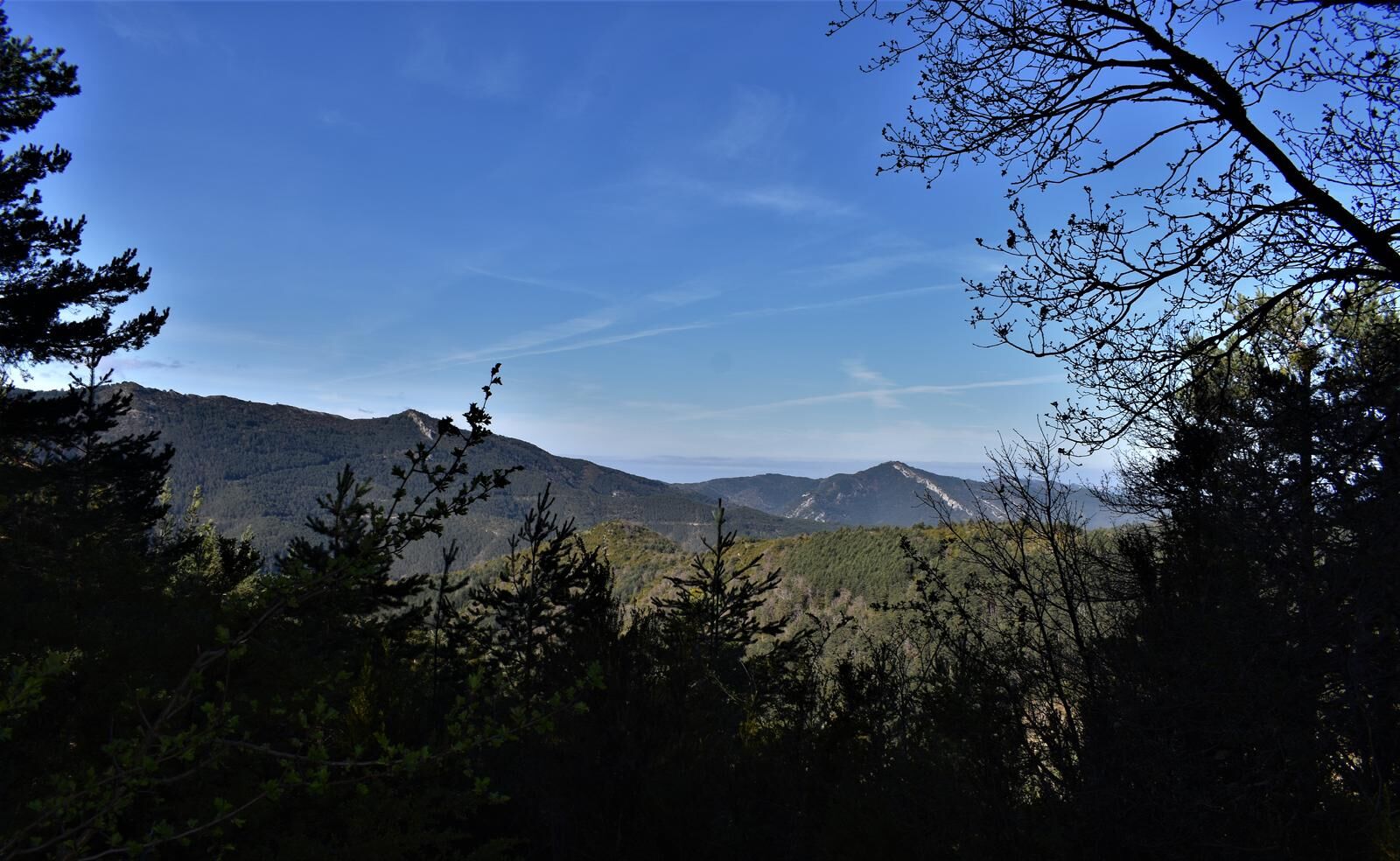
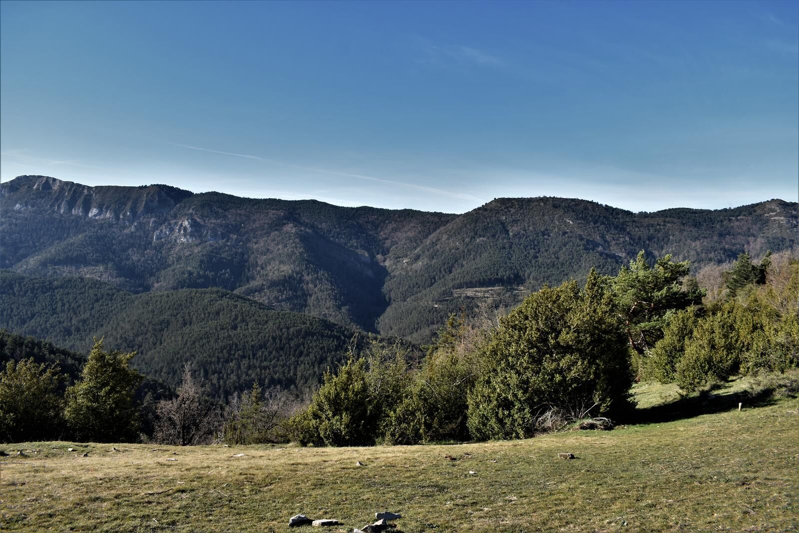
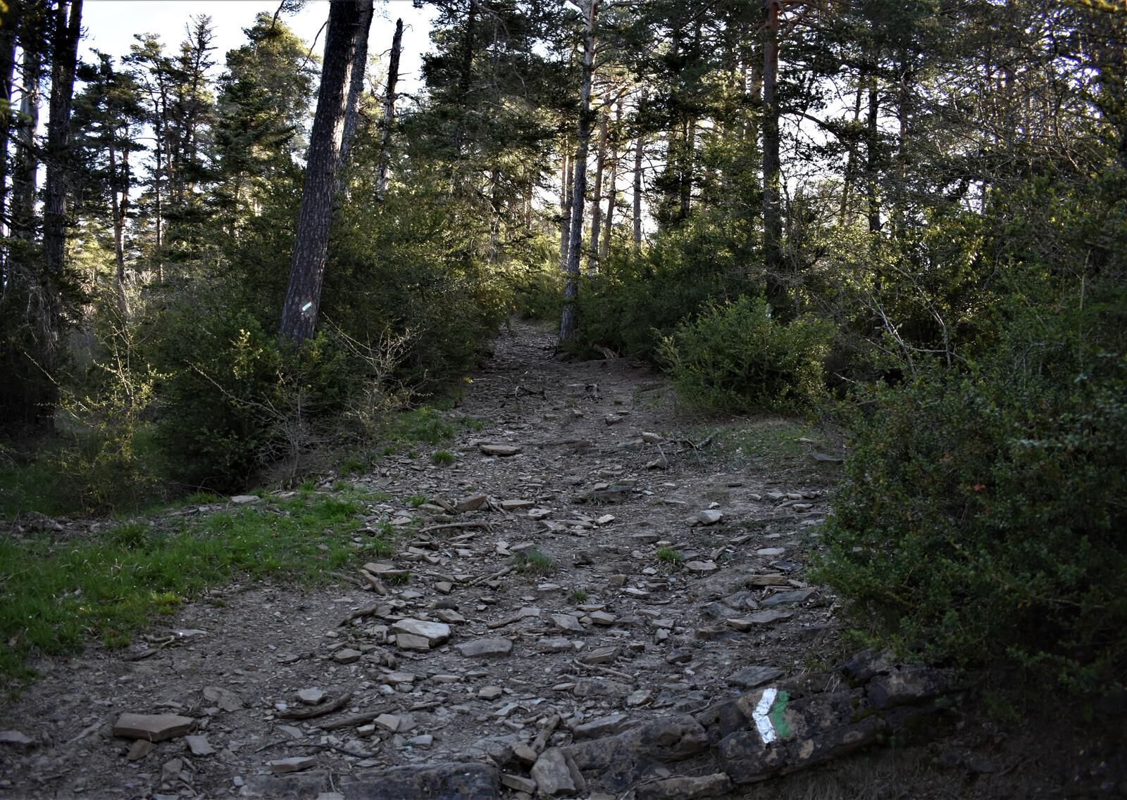

Parking and Information panel at the trailhead on NA-176 Road, KM 4.9. Circular route that from the start enters a lush forest of Scots pine and beautiful boxwood corridors, along a path that ascends in zigzags to Cerro Mariañe (1,036 m) which offers great views of the valley. The trail continues to connect with a forest track that goes to the right and after about 85 meters leaves it to turn right and descend among boxwood and Scots pines until it connects with another forest track section, which is then left by turning right to follow a path that leads to the hermitage of Nuestra Señora de Zuberoa, located on the hillside with good views of the surroundings. A path is taken that descends gently to a meadow with a ruined shepherd's hut, and later re-enters the forest to descend steeply in zigzags, ending at the NA-176 road. The last kilometer is walked along the roadside.
Hiking shoes or boots.
Water and food.
Navigation tools.
Mobile phone.
Backpack.
Multi-tool or knife (recommended)
Clothing appropriate for the weather.
First aid kit.
Local certified trail, marked with white and green blazes and directional posts.
T2
The Roncal Valley has a network of marked and certified trails. More information: www.senderosvallederoncal.com
The Roncal Valley has a network of marked and certified trails. More information: www.senderosvallederoncal.com
Oblíbené prohlídky v okolí
-
Foz de Burgui
středníTuristika 1.17 km -
Artikomendia
středníTuristika 5.46 km -
Isaba. Valle de Roncal
středníSilniční kolo 55.2 km -
Azanzorea Cave
středníTuristika 2.20 km -
Otsagabia. Roncal y Salazar
středníSilniční kolo 72.2 km -
Isaba/Izaba, Navarra
středníTuristika 10.6 km -
Roncal. Santa Barbara and Puntatxamar
heavyMountainbike 30.8 km -
Isaba. Route of the Bear
heavySilniční kolo 110.2 km -
Valle de Roncal. Larra-Belagua
heavyMountainbike 20.8 km -
Trans Pyrenäen eMTB Etappe 9: Canfrance Estacion - Ochagavia
Turistika 109.8 km
Pěší turistika a stopování


Nenechte si ujít nabídky a inspiraci pro vaši příští dovolenou
Vaše e-mailová adresa byl přidán do poštovního seznamu.





