





Iturrixikin - Monte Arriba
Úroveň obtížnosti: T3
STARTING point: Iratxeta Square, City Hall. Parking area (except for the fronton). Information panel 200 meters away, on the outskirts of the village. Ascend along a country road for one kilometer and...
STARTING point: Iratxeta Square, City Hall. Parking area (except for the fronton). Information panel 200 meters away, on the outskirts of the village. Ascend along a country road for one kilometer and continue to the left on a path that goes into a gall oak grove. After passing by a hundred-year-old oak tree and the Borda de las Vacas (in a ruinous state), you will reach the top of Iturrixikin or Monte Arriba, in a pasture area. Descent by path to a stone sculpture and the Fuente de la Teja (untreated water). New ascent by track, passing next to the Borda Mariano (false dome) until reaching the Irumuga pass, in a pine forest area. Descend by path, following the mountain range up to the Alto de Saleras (p.k.7,4): leave the mountain range and descend to the right by a steep path up to the stream; cross it and follow the track for the last kilometer to the end of the route.

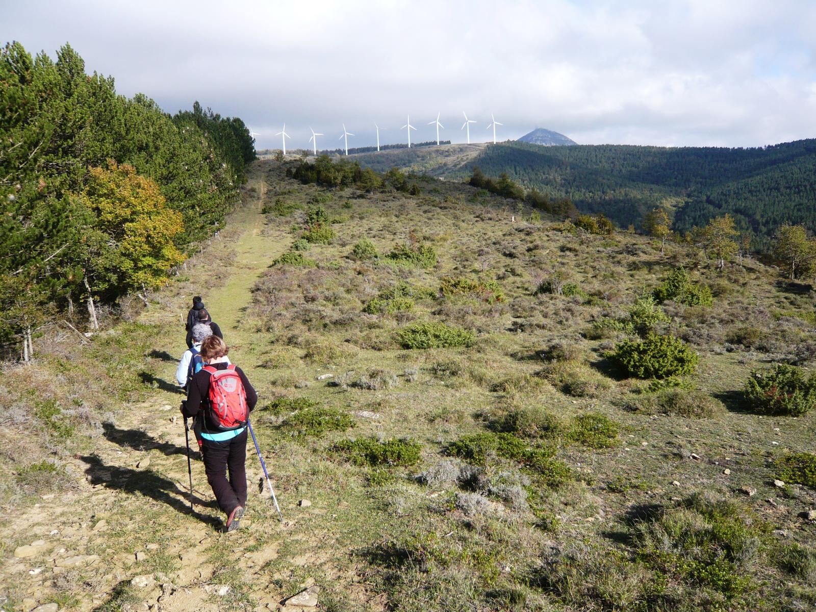
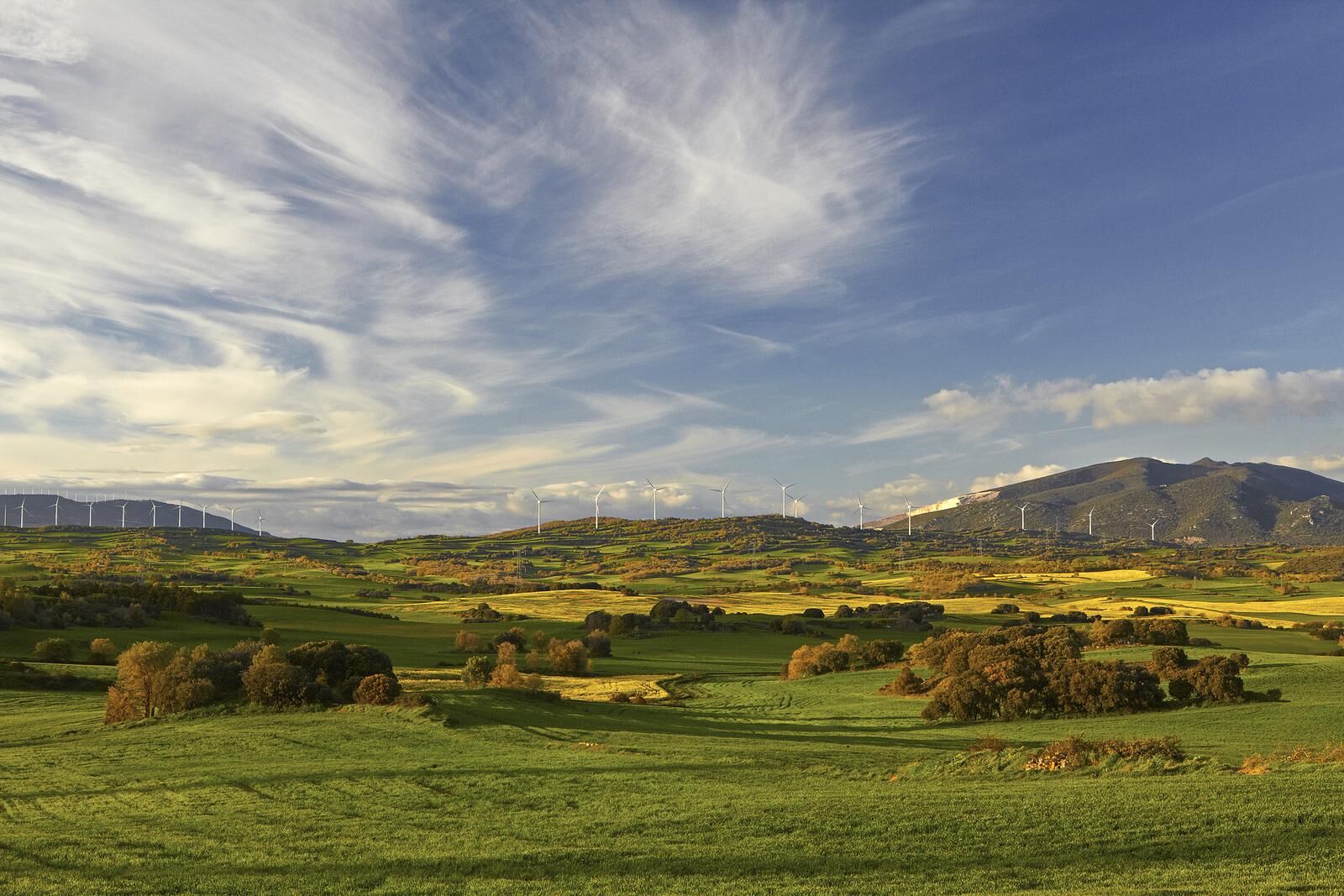
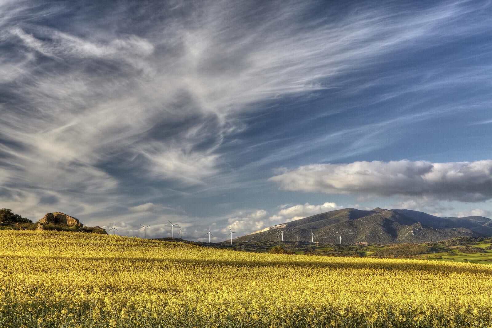

STARTING point: Iratxeta Square, City Hall. Parking area (except for the fronton). Information panel 200 meters away, on the outskirts of the village. Ascend along a country road for one kilometer and continue to the left on a path that goes into a gall oak grove. After passing by a hundred-year-old oak tree and the Borda de las Vacas (in a ruinous state), you will reach the top of Iturrixikin or Monte Arriba, in a pasture area. Descent by path to a stone sculpture and the Fuente de la Teja (untreated water). New ascent by track, passing next to the Borda Mariano (false dome) until reaching the Irumuga pass, in a pine forest area. Descend by path, following the mountain range up to the Alto de Saleras (p.k.7,4): leave the mountain range and descend to the right by a steep path up to the stream; cross it and follow the track for the last kilometer to the end of the route.
Hiking shoes or boots.
Water and food.
Navigation tools.
Mobile phone.
Backpack.
Multi-tool or knife (recommended).
Adequate clothing for the weather.
First aid kit.
SIGNALLING: Signposts with white and yellow markings and directional posts, PR NA-194 (Small Approved Route). Start panel and various information panels and elements along the route.
T3
The Middle Zone has a network of marked trails. More information: https://apie.navarramedia.es
ATTENTION: in June 2020 a fire devastated part of the Irumuga pine forest (k.p.4 to k.p.7), affecting mainly the smaller trees. Today we can see how the large trees withstood the fire and the vegetation is recovering. Area of wild boar hunting, attention in the months of August to February.
Oblíbené prohlídky v okolí
-
Prohlídka Zona Media - Camping Bardenas Trasa 3
středníSilniční kolo 144.0 km -
Navarra - Itinerario micológico. Unzué
Turistika 11.4 km -
5.0
Unzué/Untzue - Iglesia de San Millán - Peña de Unzué - Aieregi
středníTuristika 4.41 km -
Orísoain - Ermita de San Pelayo - San Pelaio - Amunarrizketa
středníTuristika 16.0 km -
Ilundáin / Ilundain - Irulegi - Zaldu - Laquidain / Lakidain
středníTuristika 6.23 km -
Zolina - Sierra de Tajonar - Noáin
středníTuristika 11.1 km -
Ardanaz de Izagaondoa - Peña Itzaga - Ermita de San Miguel - Zuazu
heavyTuristika 21.7 km -
Eslava - Ayesa - Santa Ágata - Alto de Santa Ágata
středníTuristika 16.9 km -
Coto Valdorba - Gerinda - Los Parapetos - San Martín de Unx
středníTuristika 14.2 km -
Zolina / Zolia - Mutilva / Mutiloa - Sotoburu
středníTuristika 8.15 km

Pěší turistika a stopování


Nenechte si ujít nabídky a inspiraci pro vaši příští dovolenou
Vaše e-mailová adresa byl přidán do poštovního seznamu.





