





Day 3: from Aoiz to Ochagavía — Land of Contrasts
Úroveň obtížnosti: 5
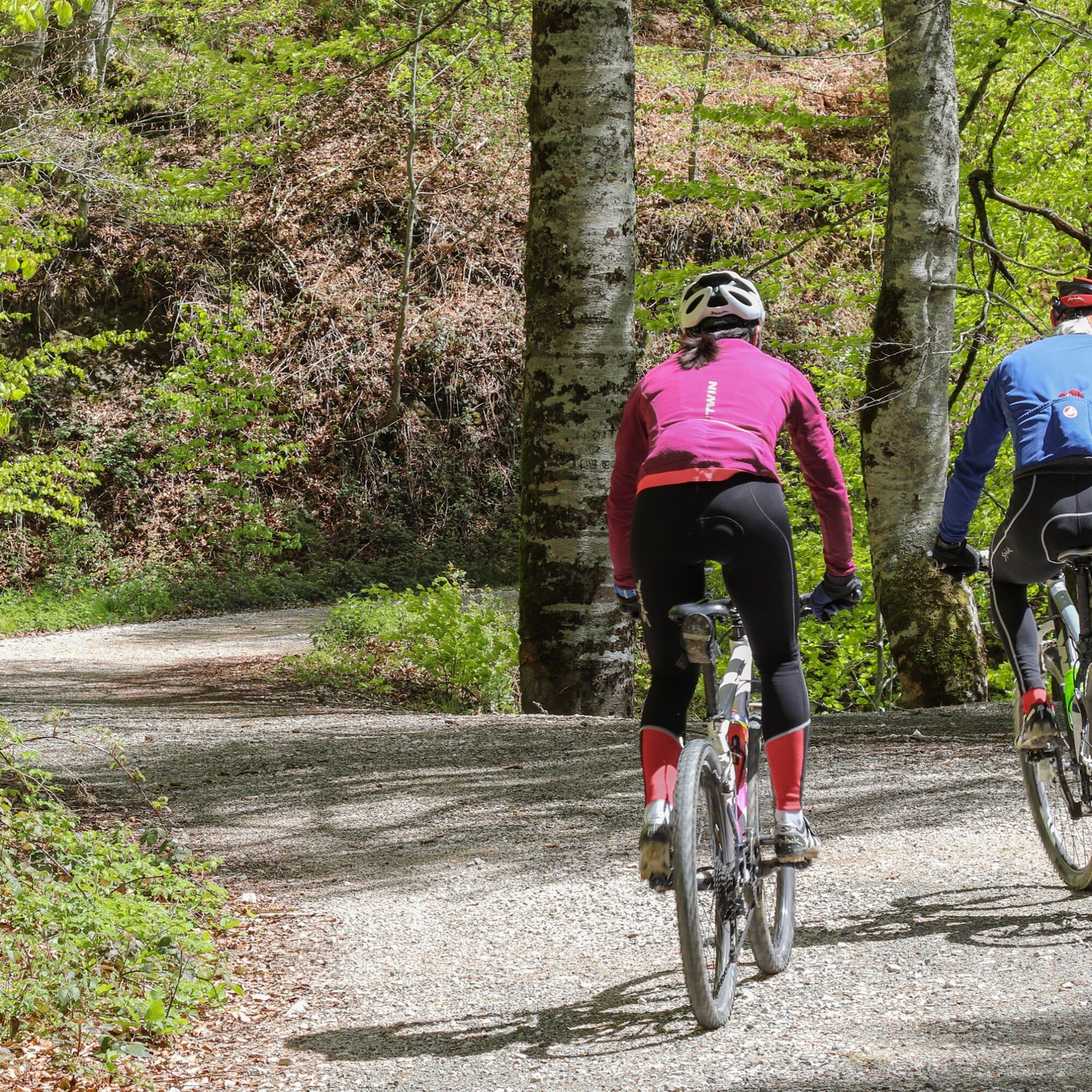
Near the town of Nagore, we skirt the Itoiz reservoir until we reach the Arce Palace. At this point, the first hard section of the day begins, riding along the side of the Arce Valley, which accumulates...
Near the town of Nagore, we skirt the Itoiz reservoir until we reach the Arce Palace. At this point, the first hard section of the day begins, riding along the side of the Arce Valley, which accumulates a large elevation gain. There is the option to ride on the valley road (NA-1720), which is very lightly trafficked, and reduce the total elevation.
At kilometer 35, we reach the meadow area where towns like Burguete and Roncesvalles are located, full of charm and influenced by the passage of the Camino de Santiago.
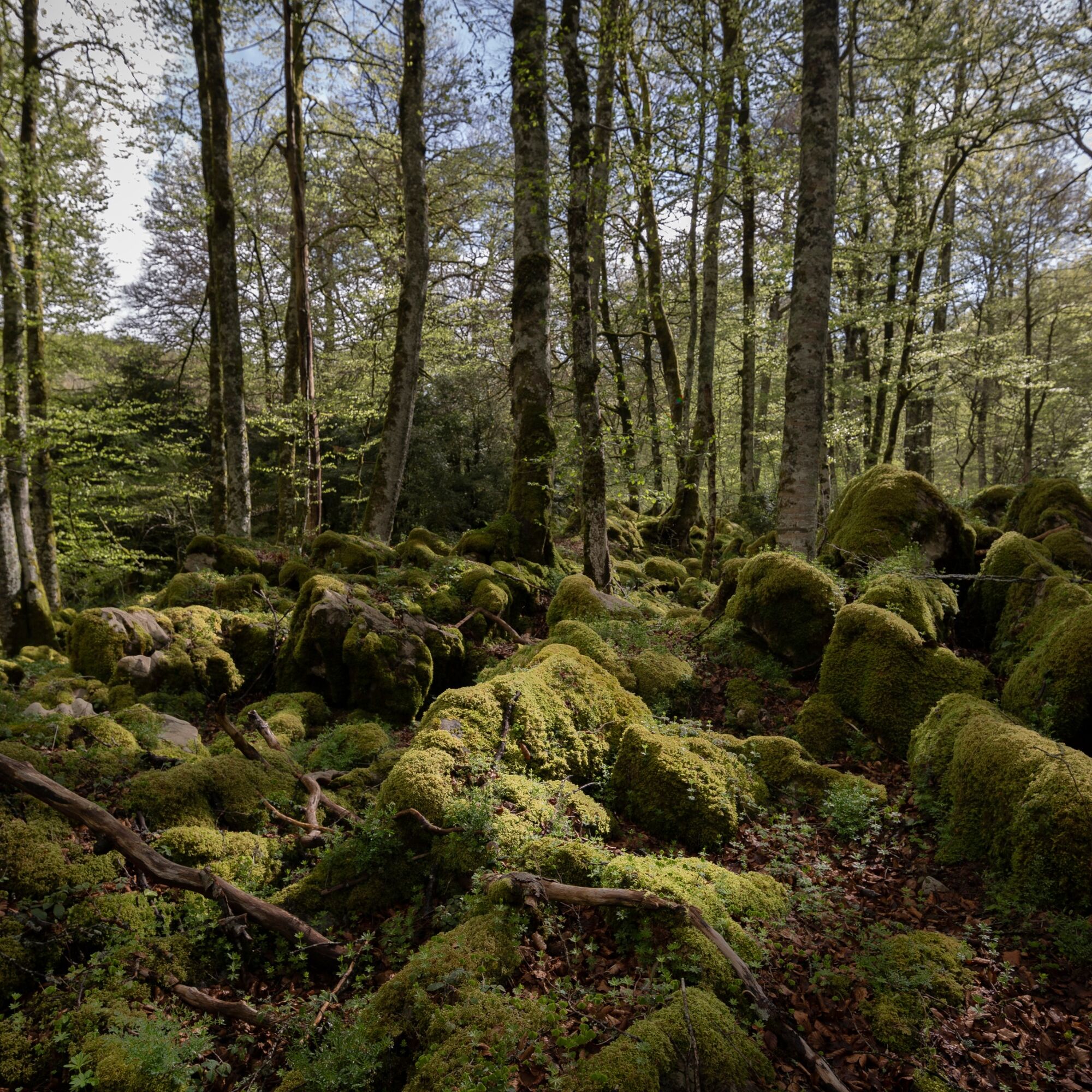
Without leaving the EuroVelo 3, just past Roncesvalles we face a tough section, this time deep in the Pyrenees. The Orbaizeta Arms Factory, located at km 50, signals that Irati is very close. After a climb on a concrete track, we enter the Irati Forest, one of the largest and best-preserved beech-fir forests in Europe. We skirt the Irabia reservoir before tackling the Alto de Tapla on asphalt and descending to the final point of the route, Ochagavía.


Basic equipment:
helmet glasses gloves bike shoes cycling shorts and jersey large water bottles, preferably insulatedDepending on the time of year, weather forecast, and destination, you will need to add a waterproof jacket, a long-sleeve jersey, and/or arm warmers.
To rest at night:
warm and casual sweatpants sneakers or slippers change of clothes spare socks and underwearIn case of mechanical problems, don't forget to bring:
inner tubes a small pump a multitool a puncture repair kit (patches, tire levers, glue, etc.)Finally, also don't forget all this:
mobile phone and charger GPS device (or a map for those who want to do it the old-fashioned way) and its charging cable (not necessary if you choose the map option, of course...) external battery(ies) or solar charger cash credit card and identification documents small first aid kit5
Oblíbené prohlídky v okolí
-
4.7
Orreaga / Roncesvalles - Burregieta - Urdanazburu - Saint-Jean-Pied-de-Port
heavyPoutní stezka 24.6 km -
Artzibar Roman road
středníTuristika 6.25 km -
Urbeltza river trail
středníTuristika 3.24 km -
Los Paraísos. Erlan-Irabia. Irati Forest
světloTuristika 5.36 km -
4.0
Zubiri - San Esteban - Done Jakueren eliza - Orreagako Andre Mariaren eliza
heavyPoutní stezka 21.9 km -
Irati Xtrem 2024
heavyJízda na kole 128.9 km -
Burguete. The Route of the Estraperlo
středníMountainbike 38.7 km -
a erste Etappe Camino Frances
středníTuristika 28.0 km -
Carricaburu - Église Notre-Dame - Hegi xüria - Iraty
heavyTuristika 24.8 km -
Larraingo lepoa - Adi - Mendiaundi - Baratzea
heavyTuristika 20.2 km

Pěší turistika a stopování


Nenechte si ujít nabídky a inspiraci pro vaši příští dovolenou
Vaše e-mailová adresa byl přidán do poštovního seznamu.





