Liefrange - Le Postillon - Chapelle Saint-Valentin - Saint-Donat
střední
Navigace na stránkách
Navigace na stránkách
Pořiďte si tuto prohlídku do mobilního telefonu
Liefrange - Le Postillon - Chapelle Saint-Valentin - Saint-Donat
střední
Turistika
16.71
km
Naskenujte QR kód a spusťte navigaci v aplikaci bergfex.

Pěší turistika a stopování


Liefrange - Le Postillon - Chapelle Saint-Valentin - Saint-Donat
střední
Vzdálenost
16.71
km
Doba trvání
04:35
h
Ascent
395
hm
Hladina moře
271 -
467
m
Stažení skladby
Liefrange - Le Postillon - Chapelle Saint-Valentin - Saint-Donat
střední
Turistika
16.71
km
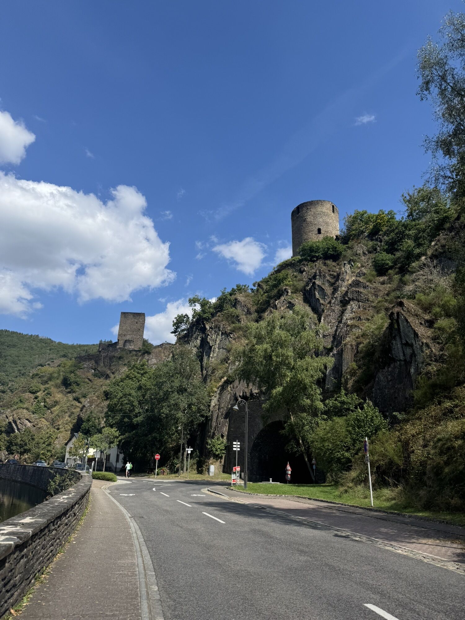
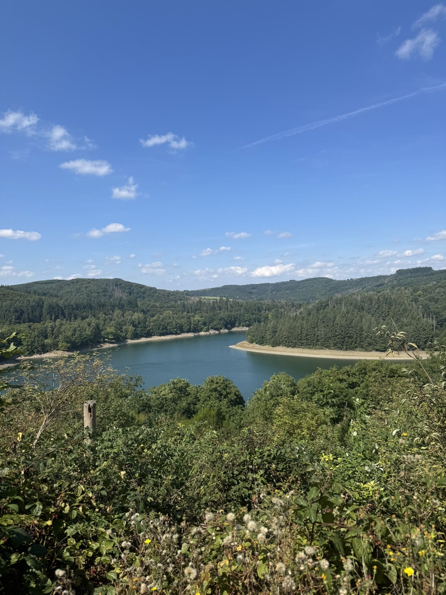
Fotografie našich uživatelů
Trasa
Liefrange
(395 m)
Vesnice
0.4 km
Le Postillon
(278 m)
Restaurace
8.3 km
Esch-sur-Sûre
(282 m)
Vesnice
8.4 km
Lultzhausen
(334 m)
Vesnice
14.7 km
Chapelle Saint-Valentin
(330 m)
Místo konání bohoslužeb
14.7 km
Liefrange
(395 m)
Vesnice
16.3 km
Saint-Donat
(394 m)
Místo konání bohoslužeb
16.4 km
Trasa
Liefrange - Le Postillon - Chapelle Saint-Valentin - Saint-Donat
střední
Turistika
16.71
km
Liefrange
(395 m)
Vesnice
0.4 km
Kaundorf
(441 m)
Vesnice
2.7 km
Le Postillon
(278 m)
Restaurace
8.3 km
Esch-sur-Sûre
(282 m)
Vesnice
8.4 km
Lultzhausen
(334 m)
Vesnice
14.7 km
Chapelle Saint-Valentin
(330 m)
Místo konání bohoslužeb
14.7 km
Liefrange
(395 m)
Vesnice
16.3 km
Saint-Donat
(394 m)
Místo konání bohoslužeb
16.4 km
Zatím žádné recenze
Oblíbené prohlídky v okolí
-
4.7
Ettelbruck - Hiwel - Kopp - Kautenbach
heavydálková pěší trasa 54.5 km -
5.0
Hoscheid Éisleck Pad, Lëtzebuerg
středníTuristika 11.6 km -
4.0
Luxemburg Satu See
středníTuristika 5.52 km -
Camping Du Nord
světloHorská turistika 3.61 km -
4.0
Saint-Michel - Dirbach - Auberge de la Sûre - Bourscheid
středníTuristika 15.5 km -
Consthum - Auto Pedestre
středníTuristika 8.16 km -
Kaundorf, Luxembourg, Sentier autopédestre
světloTuristika 8.51 km -
Vichten
světloTuristika 11.9 km -
Mertzig-Wiltz
středníTuristika 28.0 km -
5,9km Bo Bockholz, Goesdorf, Luxemburg
středníTuristika 5.97 km
Pěší turistika a stopování

Více než 550.000 návrhů výletů, podrobné mapy a intuitivní plánovač tras dělají z aplikace nezbytnou výbavu pro všechny milovníky přírody.

Nenechte si ujít nabídky a inspiraci pro vaši příští dovolenou
Přihlaste se k odběru newsletteru
Chyba
Došlo k chybě. Zkuste to prosím znovu.
Děkujeme za vaši registraci
Vaše e-mailová adresa byl přidán do poštovního seznamu.
Zájezdy po celé Evropě
Rakousko
Švýcarsko
Německo
Itálie
Slovenia
Francie
Nizozemsko
Belgie
Polsko
Lichtenštejnsko
Česko
Slovensko
Španělsko
Chorvatsko
Bosna a Hercegovina
Lucembursko
Andorra
Portugal
Iceland
United Kingdom
Ireland
Greece
Albania
North Macedonia
Malta
Norway
Montenegro
Moldova
Kosovo
Hungary
San Marino
Romania
Estonia
Latvia
Belarus
Cyprus
Lithuania
Serbia
Bulgaria
Monaco
Denmark
Sweden
Finland