Sainte-Catherine - Jakobuskierch - Honsréck - Osweiler
heavy
Navigace na stránkách
Navigace na stránkách
Pořiďte si tuto prohlídku do mobilního telefonu
Sainte-Catherine - Jakobuskierch - Honsréck - Osweiler
heavy
Turistika
19.24
km
Naskenujte QR kód a spusťte navigaci v aplikaci bergfex.

Pěší turistika a stopování


Sainte-Catherine - Jakobuskierch - Honsréck - Osweiler
heavy
Vzdálenost
19.24
km
Doba trvání
05:00
h
Ascent
378
hm
Hladina moře
238 -
362
m
Stažení skladby
Sainte-Catherine - Jakobuskierch - Honsréck - Osweiler
heavy
Turistika
19.24
km
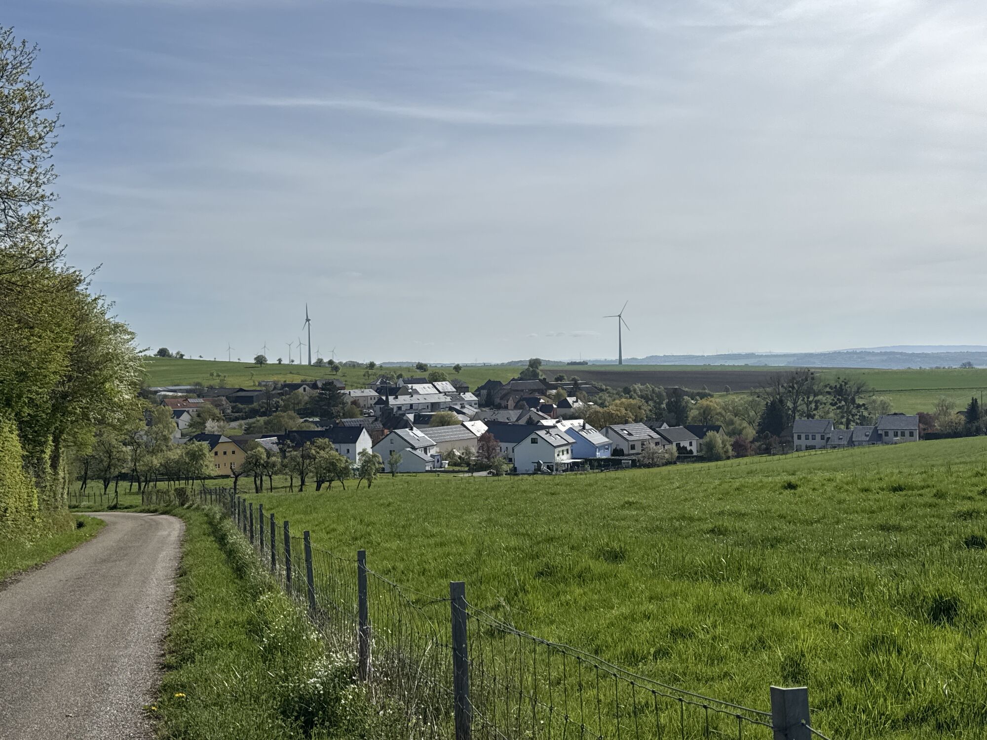
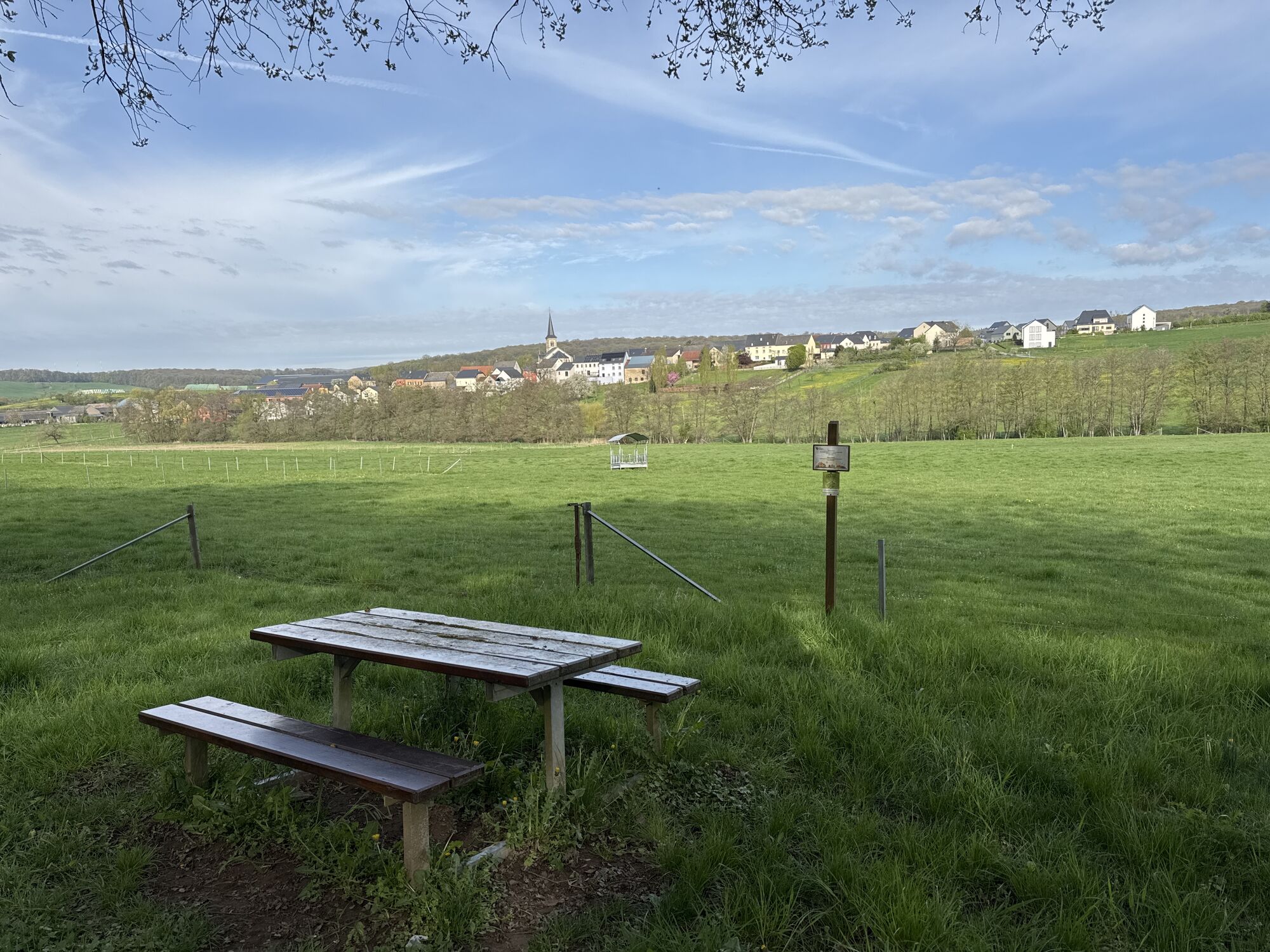
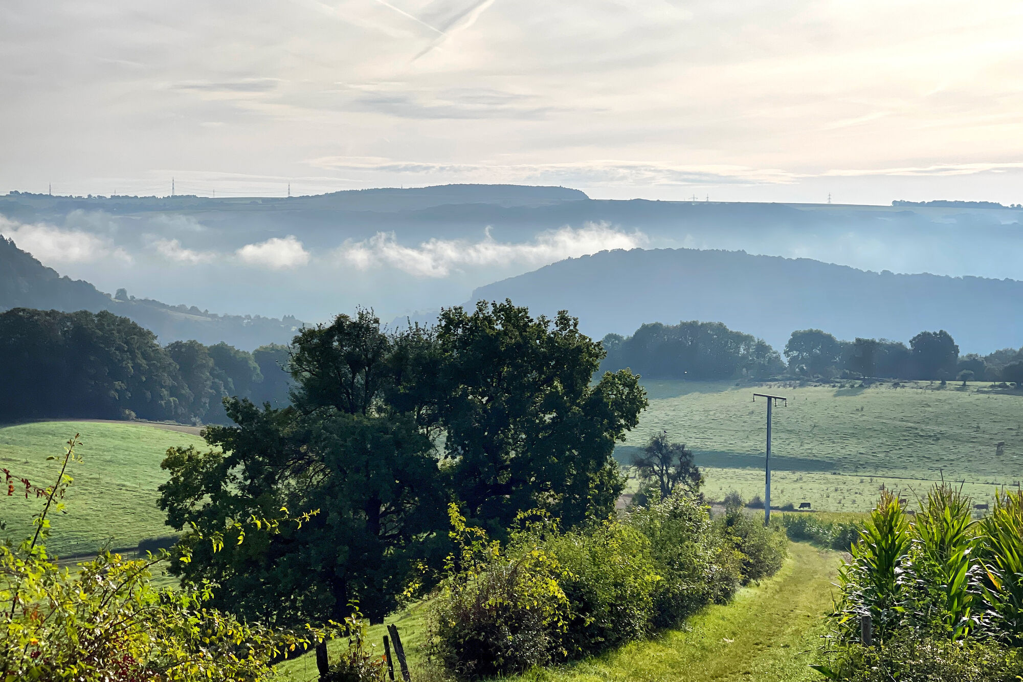
Fotografie našich uživatelů
Trasa
Sainte-Catherine
(242 m)
Místo konání bohoslužeb
0.0 km
Osweiler
(240 m)
Vesnice
0.3 km
Jakobuskierch
(315 m)
Místo konání bohoslužeb
7.7 km
Honsréck
(356 m)
Summit
10.0 km
Saint-Remi
(312 m)
Místo konání bohoslužeb
11.2 km
Boursdorf
(291 m)
Vesnice
14.0 km
Sainte-Catherine
(242 m)
Místo konání bohoslužeb
19.0 km
Trasa
Sainte-Catherine - Jakobuskierch - Honsréck - Osweiler
heavy
Turistika
19.24
km
Sainte-Catherine
(242 m)
Místo konání bohoslužeb
0.0 km
Osweiler
(240 m)
Vesnice
0.3 km
Bronnhaischen
(315 m)
Zdroj:
7.0 km
Jakobuskierch
(315 m)
Místo konání bohoslužeb
7.7 km
Herborn
(315 m)
Vesnice
7.8 km
Honsréck
(356 m)
Summit
10.0 km
Saint-Remi
(312 m)
Místo konání bohoslužeb
11.2 km
Mompach
(320 m)
Vesnice
11.2 km
Boursdorf
(291 m)
Vesnice
14.0 km
Dickweiler
(296 m)
Vesnice
16.5 km
Sainte-Marie-Madeleine
(300 m)
Místo konání bohoslužeb
16.6 km
Sainte-Catherine
(242 m)
Místo konání bohoslužeb
19.0 km
Osweiler
(240 m)
Vesnice
19.1 km
Zatím žádné recenze
Oblíbené prohlídky v okolí
-
4.8
Berdorf - Raiberhiel - Adlerhorst - Aire de l'aigle - Bistro Martbusch
středníTuristika 4.37 km -
4.7
Echternach - op Troo - Gorges du Loup - Basilique Saint-Willibrord
Turistika 13.5 km -
4.5
Mullerthal Tour ab/bis Konsdorf
středníTuristika 9.82 km -
5.0
Teufelsschlucht eifel
středníTuristika 21.0 km -
4.0
Mullerthal - Le Cigalon - Grotte des Celtes - Nenghis Hiel (L), Kleng Barbe (L), Grotte de la Salamandre (F)
středníTuristika 11.3 km -
4.0
Moselle Trail Stage 03: Nittel – Konz
heavydálková pěší trasa 22.5 km -
Moselsteig Stage 04: Konz – Trier
střednídálková pěší trasa 21.0 km -
5.0
Consdorf, Luxembourg, sentiers C2 et C3 combinés
středníTuristika 10.7 km -
4.5
Basilique Saint-Willibrord - Méchelskierch - Saint-Remi - Honsréck
středníTuristika 36.8 km -
Star route around Trier - Route 3: Circular route on the Moselle and Saar Cycle Paths via Saarburg to Trier
světloJízda na kole 43.1 km
Pěší turistika a stopování

Více než 550.000 návrhů výletů, podrobné mapy a intuitivní plánovač tras dělají z aplikace nezbytnou výbavu pro všechny milovníky přírody.

Nenechte si ujít nabídky a inspiraci pro vaši příští dovolenou
Přihlaste se k odběru newsletteru
Chyba
Došlo k chybě. Zkuste to prosím znovu.
Děkujeme za vaši registraci
Vaše e-mailová adresa byl přidán do poštovního seznamu.
Zájezdy po celé Evropě
Rakousko
Švýcarsko
Německo
Itálie
Slovenia
Francie
Nizozemsko
Belgie
Polsko
Lichtenštejnsko
Česko
Slovensko
Španělsko
Chorvatsko
Bosna a Hercegovina
Lucembursko
Andorra
Portugal
Iceland
United Kingdom
Ireland
Greece
Albania
North Macedonia
Malta
Norway
Montenegro
Moldova
Kosovo
Hungary
San Marino
Romania
Estonia
Latvia
Belarus
Cyprus
Lithuania
Serbia
Bulgaria
Monaco
Denmark
Sweden
Finland