






The mountain microcosm of Sostila in Val Fabiolo

Úroveň obtížnosti: T2
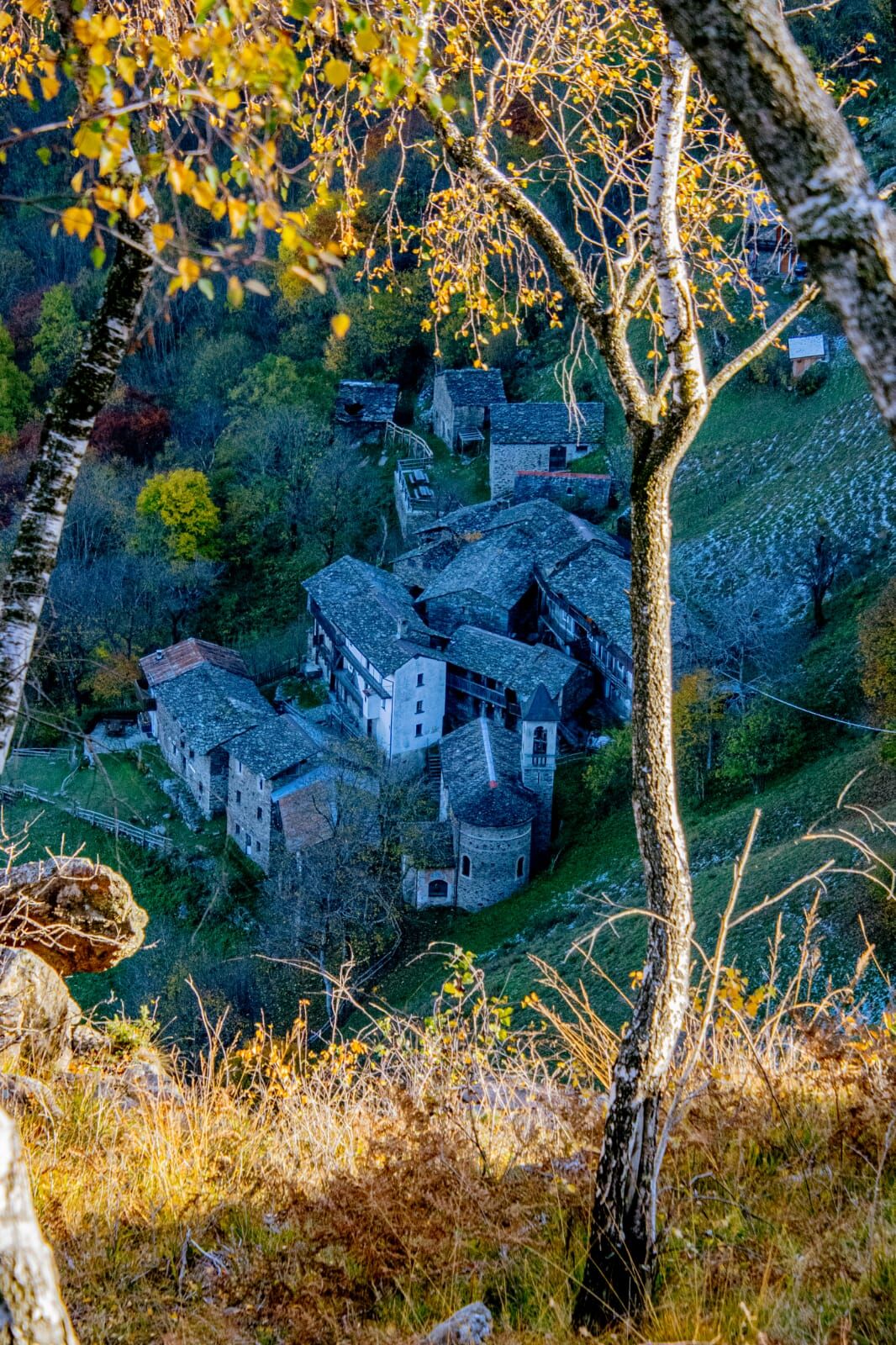
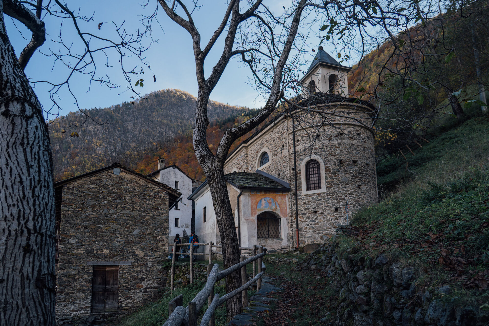
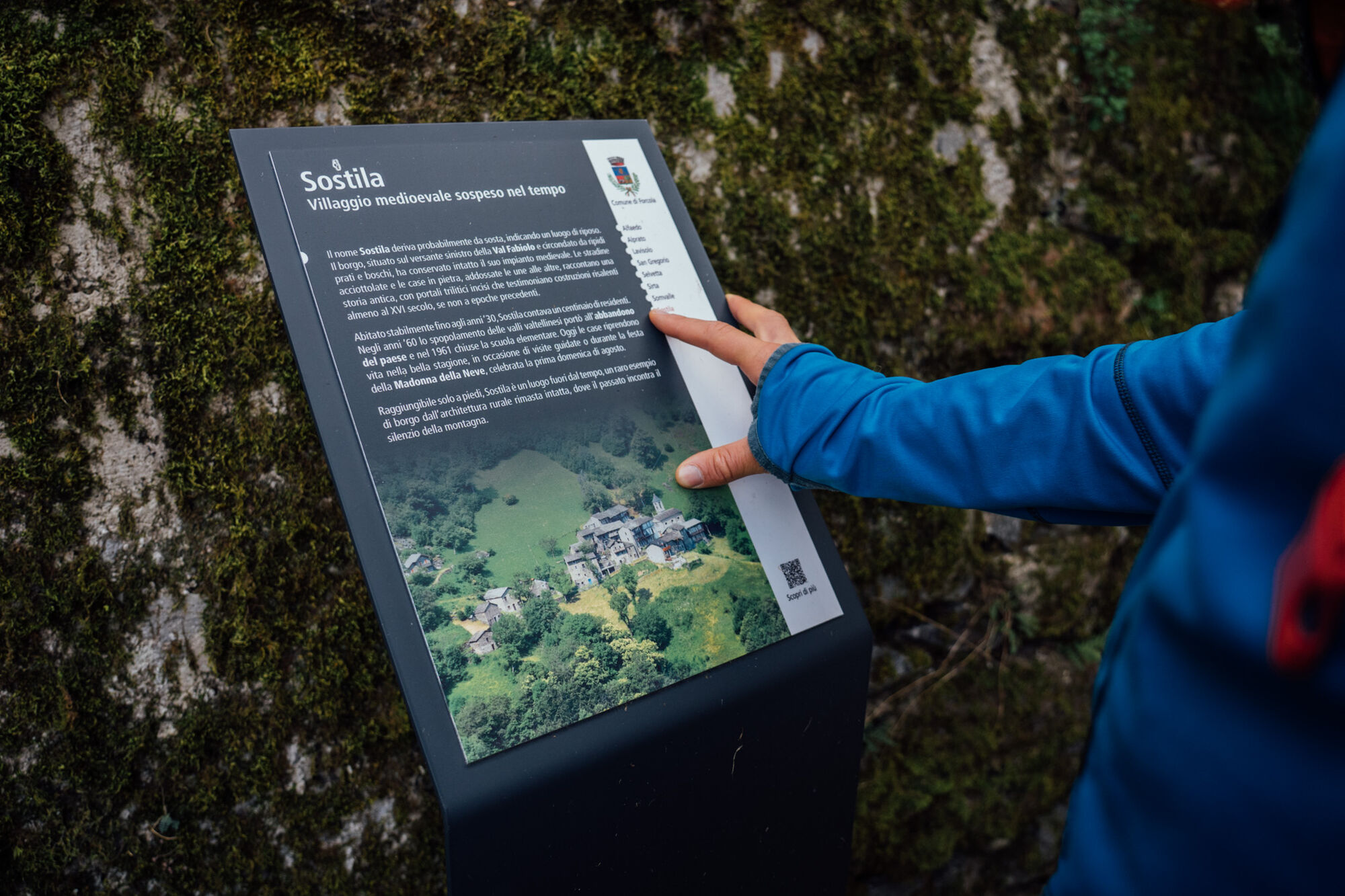
Sostila is a hamlet of Medieval origin (16th century) at 821 m altitude in Val Fabiolo, a valley almost hidden at the valley floor. The village was inhabited until the mid-20th century. The stone houses...
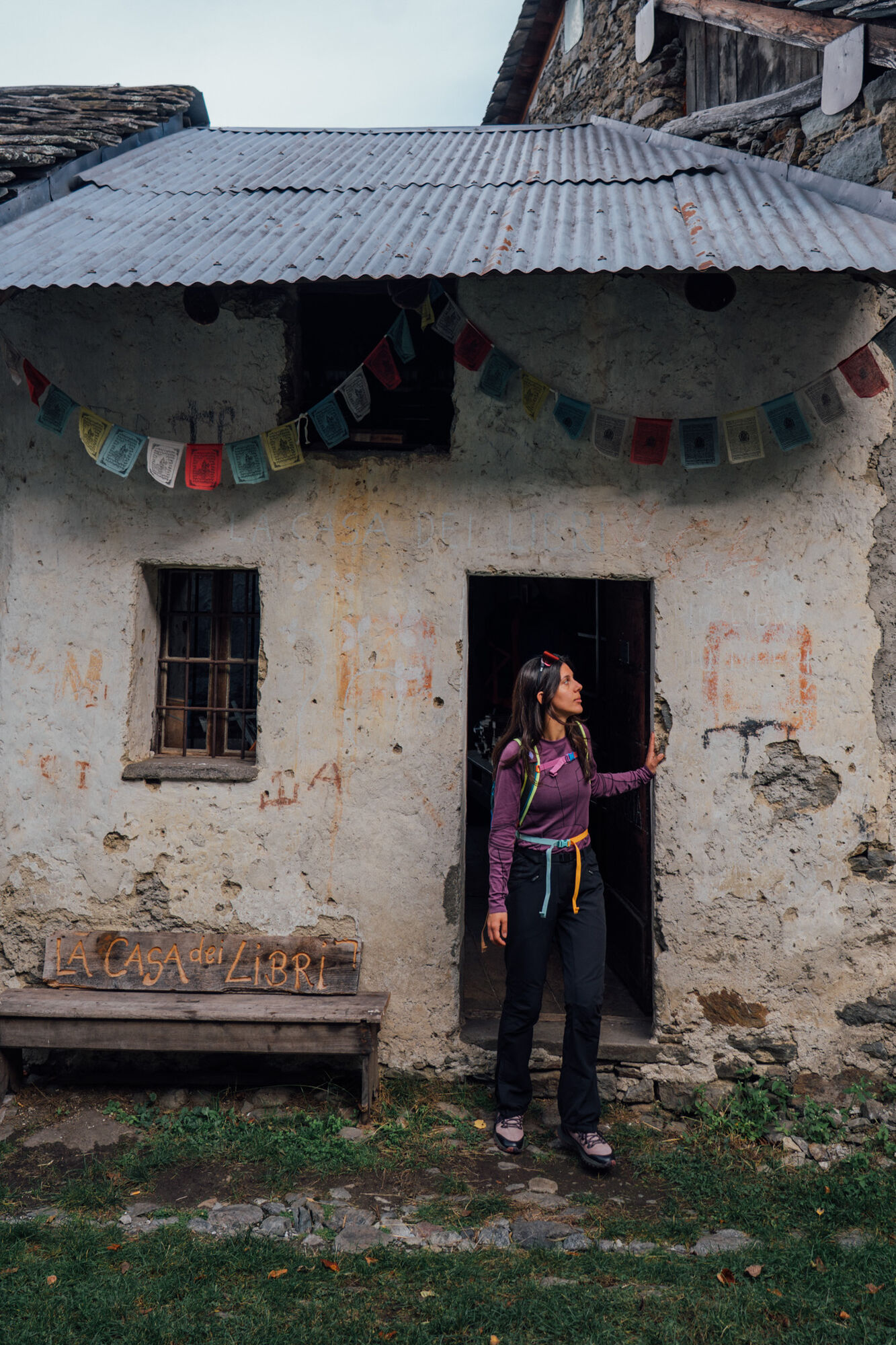
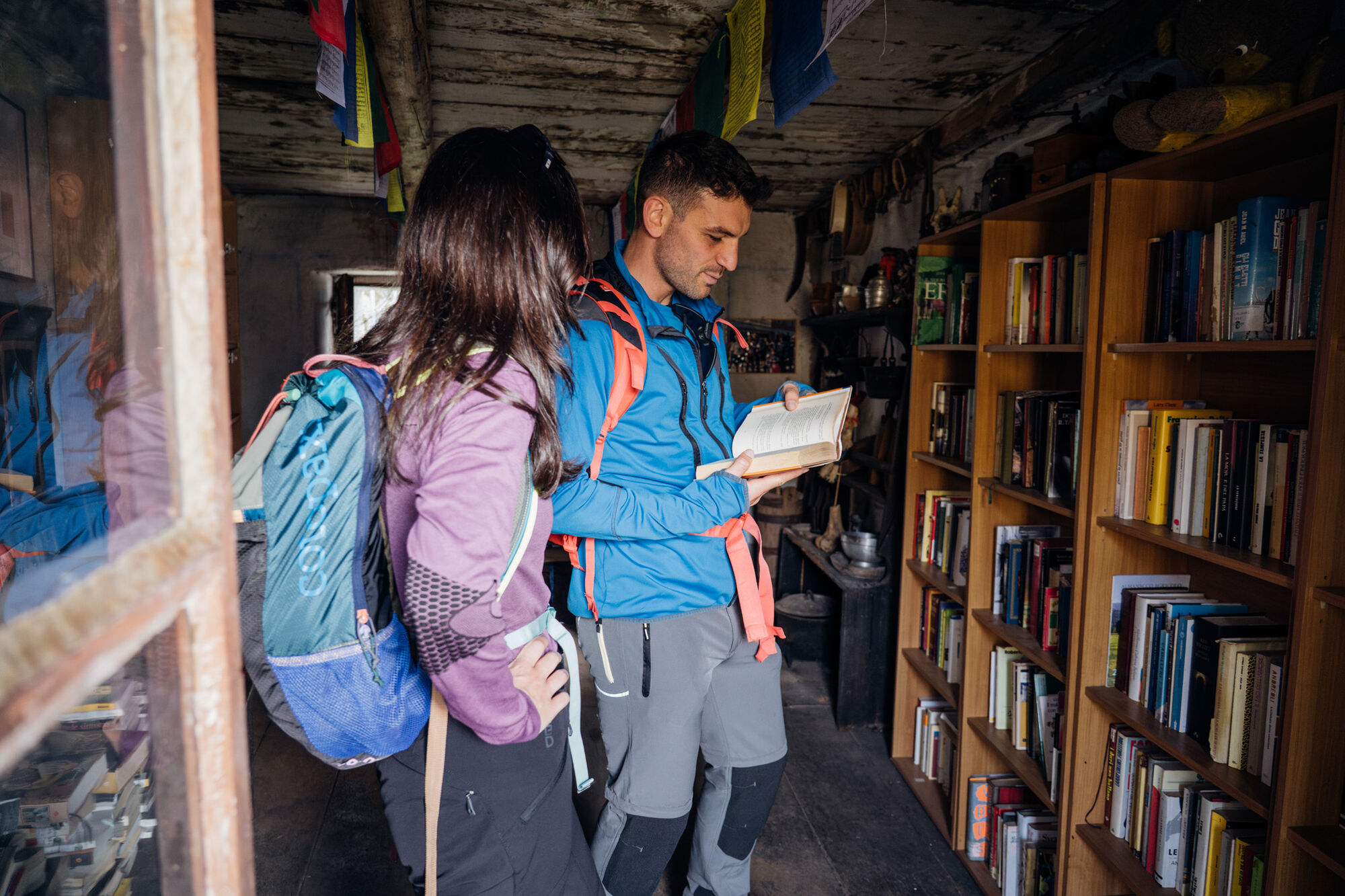
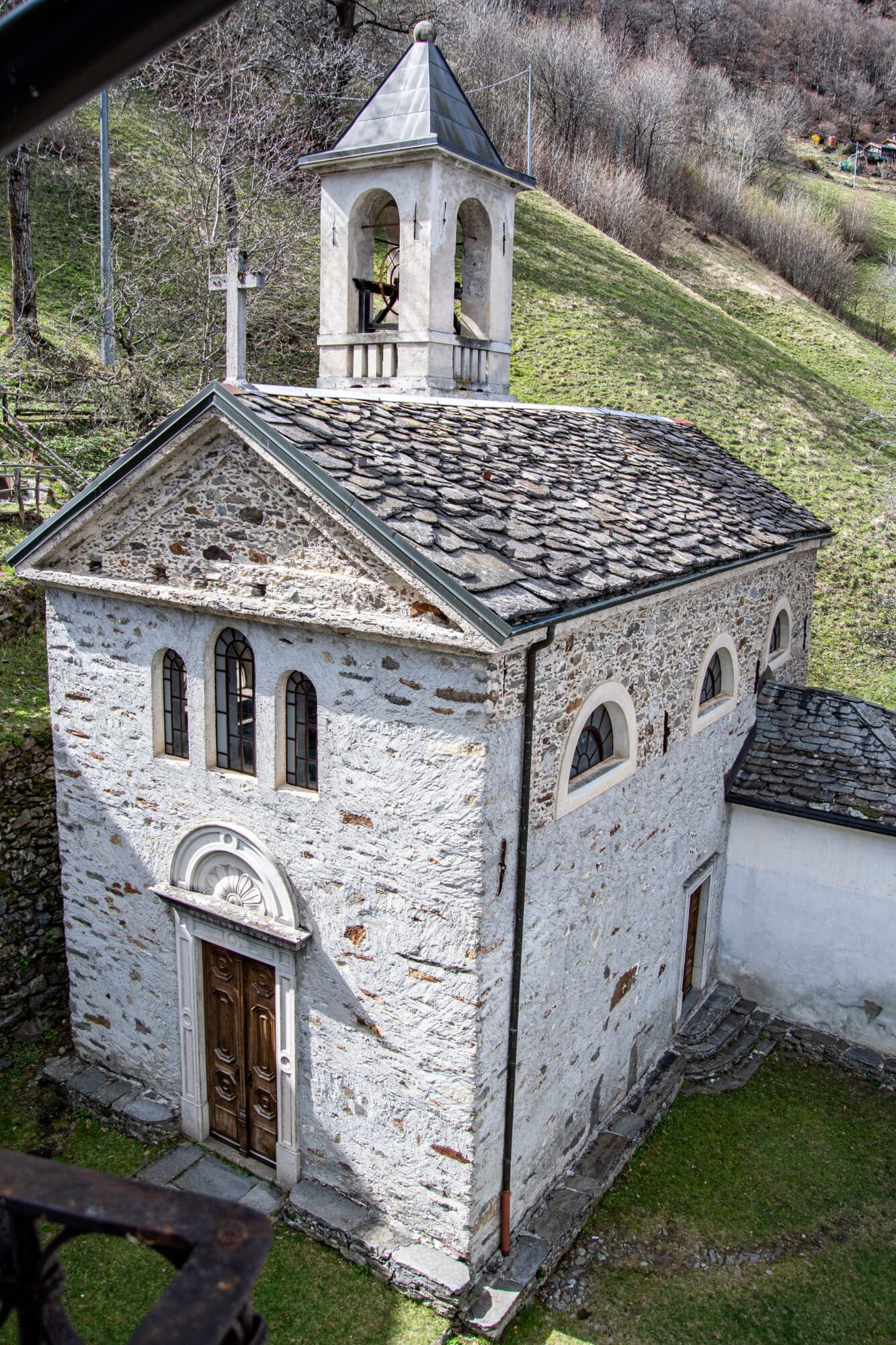
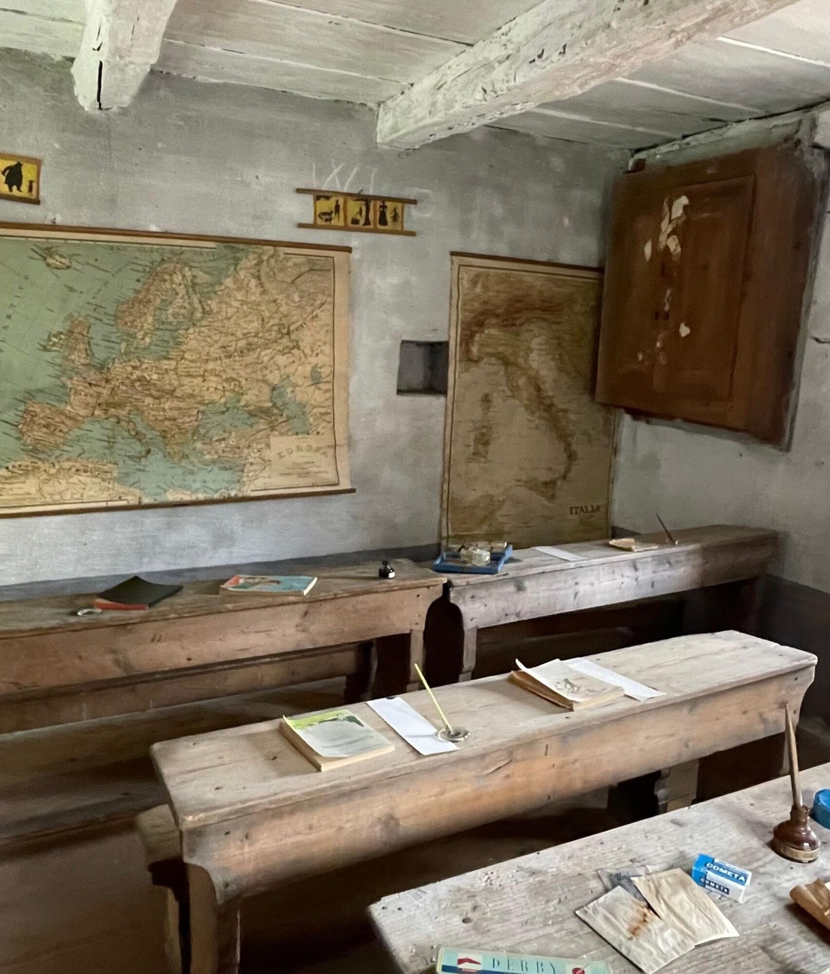
Sostila is a hamlet of Medieval origin (16th century) at 821 m altitude in Val Fabiolo, a valley almost hidden at the valley floor. The village was inhabited until the mid-20th century. The stone houses are a museum that continues to tell the story of a mountain community that has well preserved traditions and memories. The most emotional space is the small schoolroom.
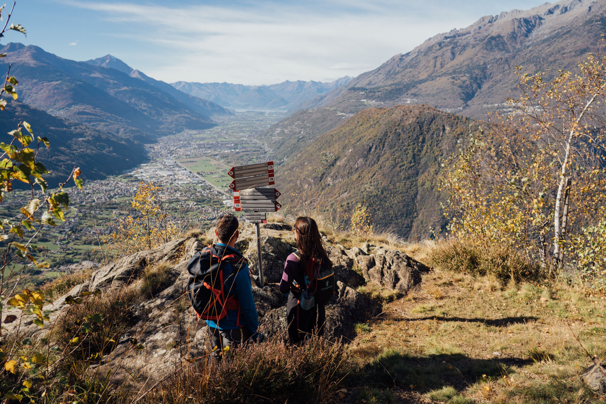
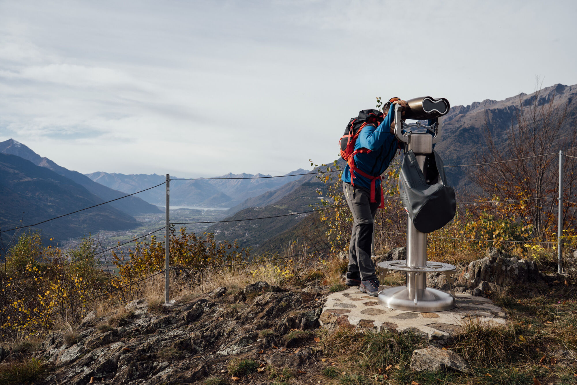
The path to Sostila is well signposted. The first stretch must be walked carefully because it rises with a certain slope and exposure. The ascent - about 100 m elevation gain - ends on a grassy knoll, Ciöda Granda (1000 m); here you have the first view of Val Fabiolo. The small pass is just below, to the north, at 977 m of altitude and offers a binocular to better observe the panorama towards the Rhaetian Alps and up to Lake Como. The downhill path (northeast direction) passes through several groups of mountain huts in sequence: Prato, Èra and Arèt. The wide mule track leads to Sostila.
The return follows the same route.

P on SP 11 - Bocchetta di Sostila - Èra - L'Arèt - Sostila
Attention: the path has no particular difficulties, but the first stretch is exposed and equipped with a fixed chain for several meters.
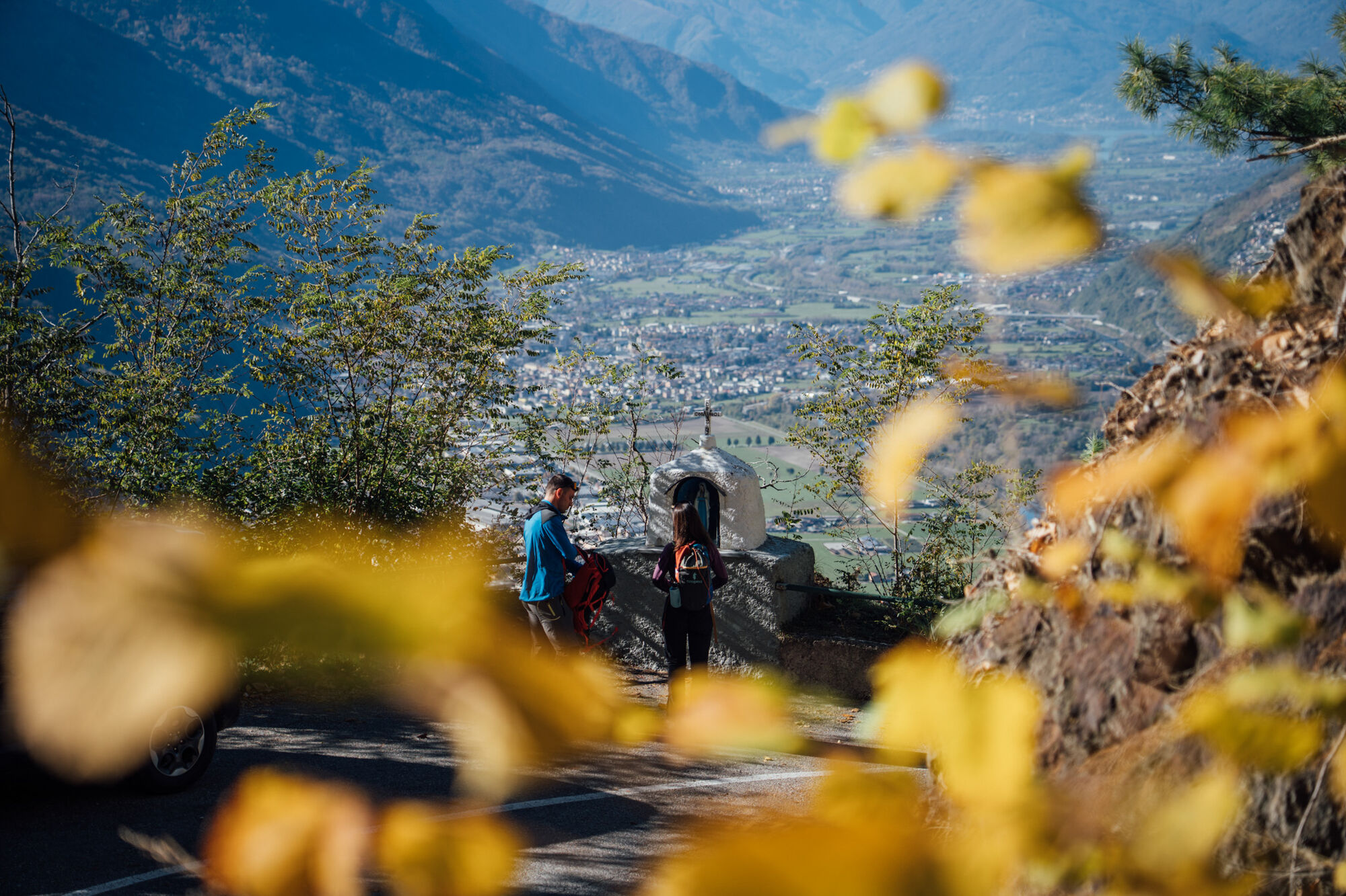
Follow Provincial Road 11 "Orobica" from Talamona, SS38 roundabout, at about km 7.7 (after the 10th hairpin), near the Madonnina
T2
Events organized in Sostila are published on www.forcolaweb.org
The best time to visit Sostila is during the mid-seasons, especially autumn because the hamlet is surrounded by chestnut woods.
Oblíbené prohlídky v okolí
- 5.0
Dazio's Colmen - A Mediterranean oasis in the midst of the Alps
světloTuristika 5.62 km - 5.0
Fusine-Dordona Pass (MTB-EMTB)
světloMountainbike 20.4 km Val di Mello, an extraordinary nature reserve
světloTuristika 4.82 km- 5.0
Via Priula da Mezzoldo a Ca’ San Marco
světloTuristika 9.65 km Predarossa Valley, extraordinary high-altitude landscape
středníTuristika 4.26 km- 5.0
Lago di Ponteranica inferiore
středníTuristika 6.52 km - 5.0
Costiera dei Cech among forests, vineyards and villages
středníTuristika 5.43 km Alpe Piazza Rifugio
světloTuristika 3.06 km- 5.0
Buglio al Monte Alpe Scermendone
světloMountainbike 27.8 km Alpe Piazza refuge loop with Joëlette
středníTuristika 8.87 km
Pěší turistika a stopování


Nenechte si ujít nabídky a inspiraci pro vaši příští dovolenou
Vaše e-mailová adresa byl přidán do poštovního seznamu.





