





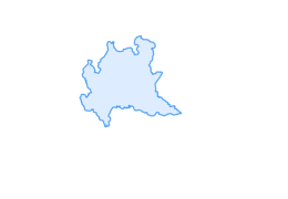

Costiera dei Cech among forests, vineyards and villages
Úroveň obtížnosti: T1
The route alternates-almost regularly-with woods, vineyards, stone villages with vegetable gardens and fountains, and with the same cadence paths, mule tracks, asphalt or cemented roads.
The starting point...
The route alternates-almost regularly-with woods, vineyards, stone villages with vegetable gardens and fountains, and with the same cadence paths, mule tracks, asphalt or cemented roads.
The starting point is the symbol of Morbegno since the 18th century, namely the Ganda Bridge that makes the Adda River "pass". The road is then to be crossed very carefully and then followed - to the left - for a short distance until it crosses the signs indicating "Sentiero del Viandante" and Civo. Hairpin bends go up the Costiera and at the ninth it is to veer to the right toward the village of San Bello, with the little church of the same name already in sight, to be crossed between stone and wooden houses. The gate is the gateway to the beautiful forest. The dry stone walls that bordered the trail in many places explain well how important it was in the past. The trail exits the woods onto Provincial Road 10, which must be crossed to reach the concrete road on the opposite side. The hamlet of Selvapiana is worth a stop and a visit. The hamlet is an excellent example of respectful renovation. The route continues one more stretch along the paved road among the vineyards (here there is also the Terrazze dei Cech Cooperative). In the locality of Acquamarcia it is to deviate to the right and follow, uphill, the mule track that crosses the nucleus and then climbs up to the locality of San Biagio with the little church of the same name in a panoramic position. The carriage road, with a couple of "cuts" on a path, is to descend to the locality of Santa Croce. The return to Morbegno passes again in the locality of San Bello and then is all downhill on a mule track with a certain gradient.

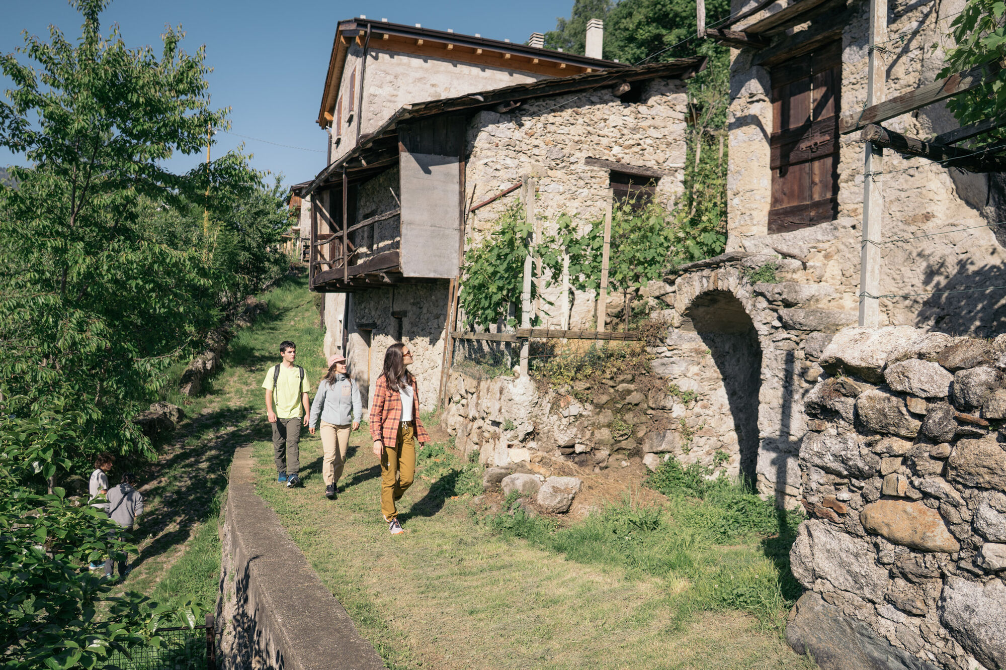
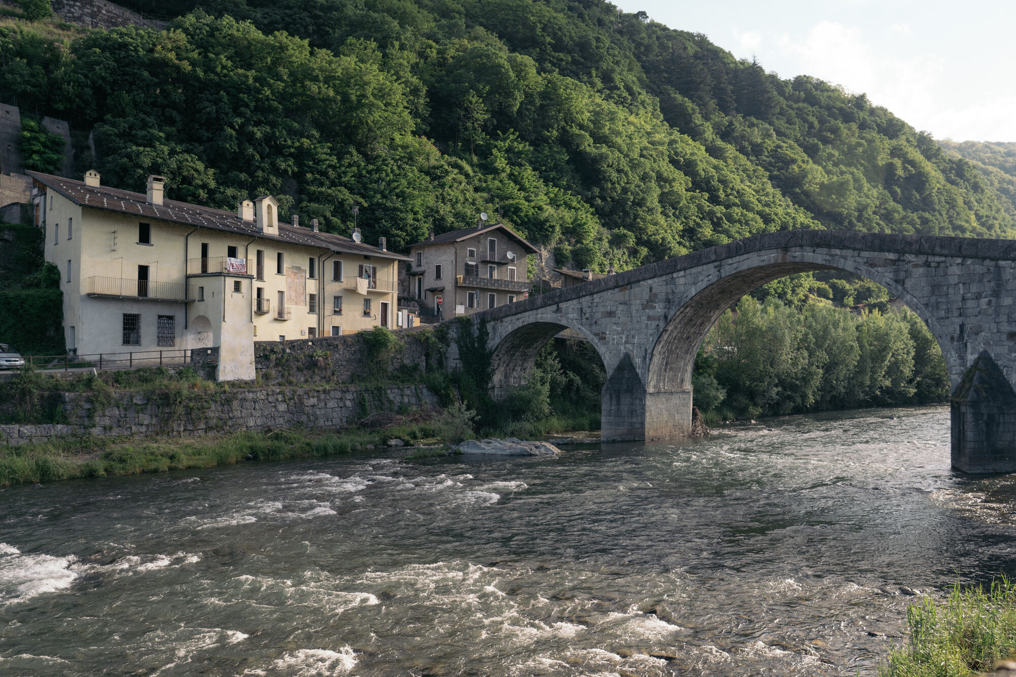
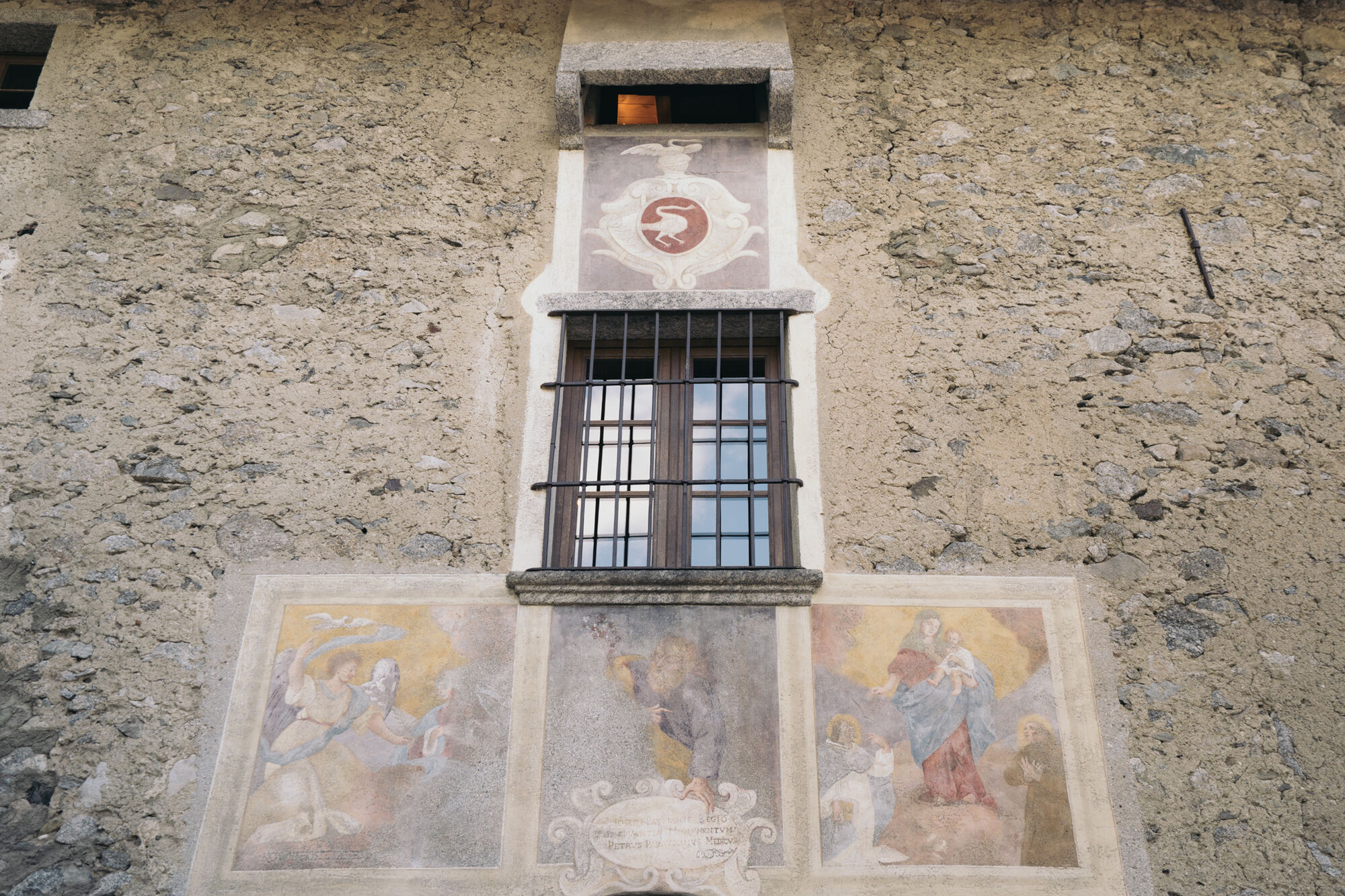
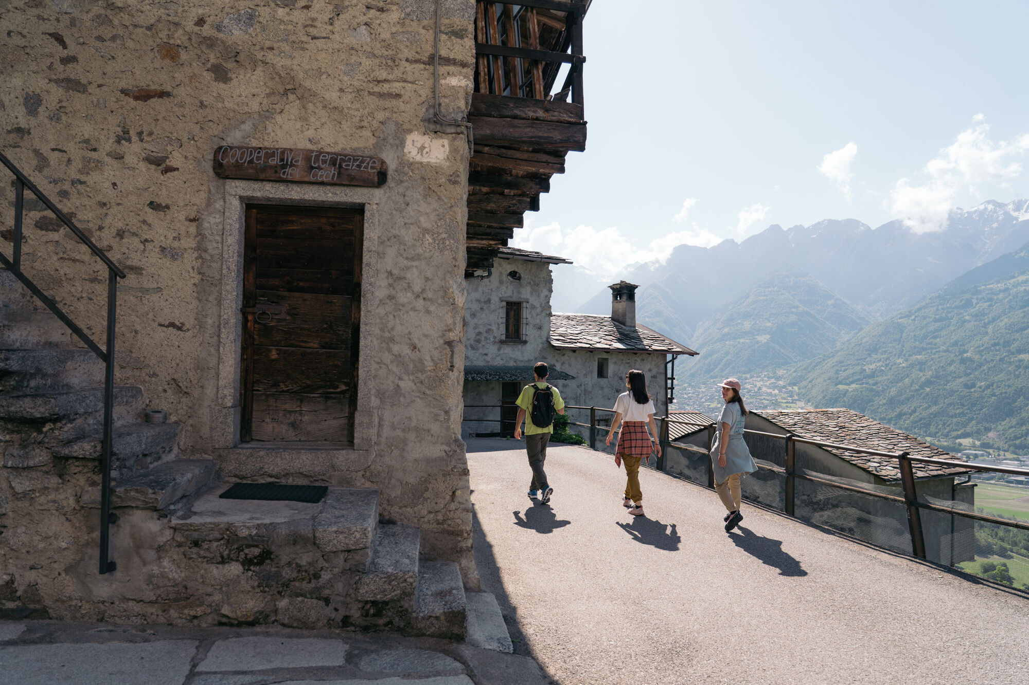
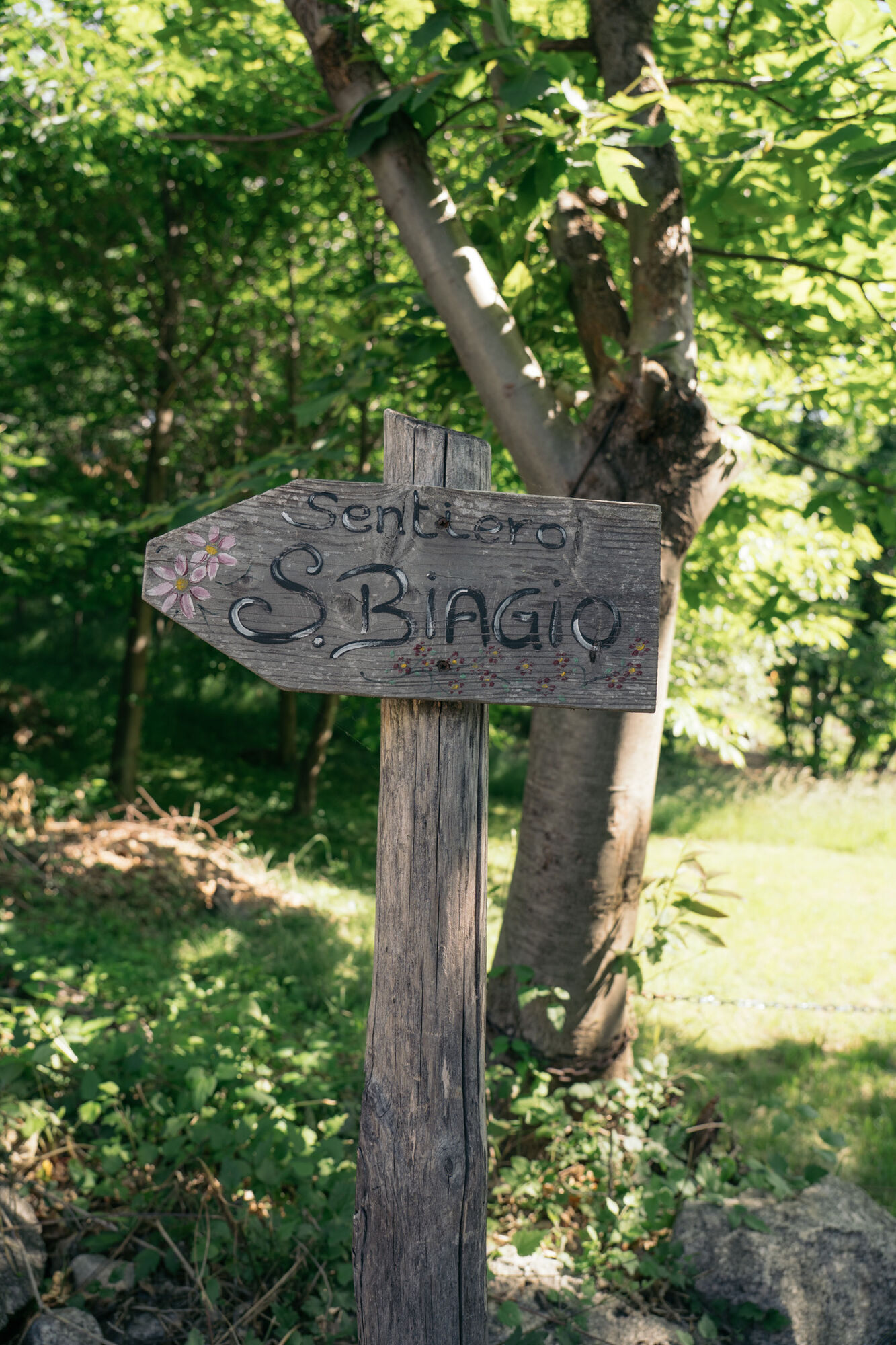
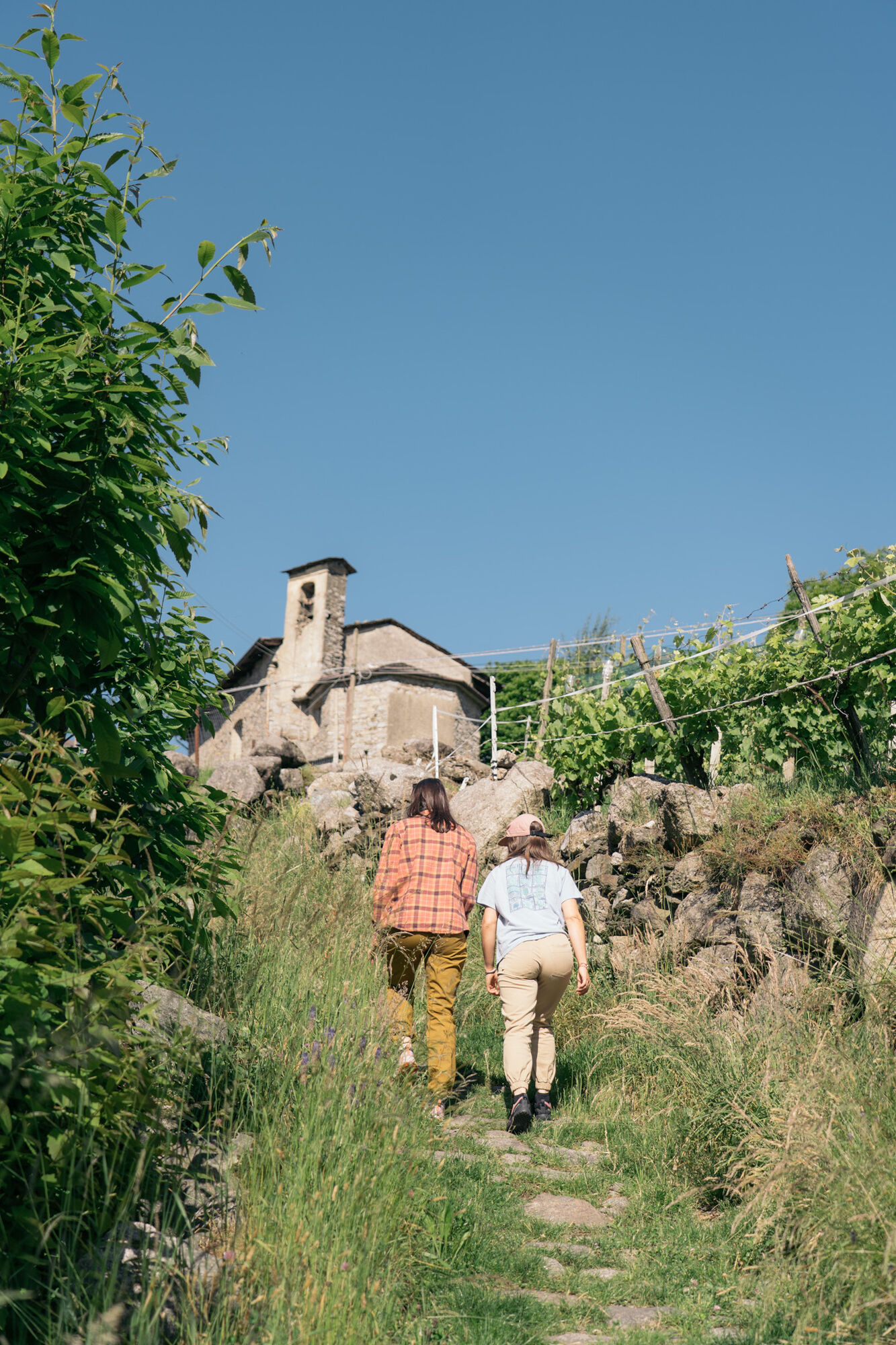

Ponte di Ganda (Morbegno) - San Bello (Morbegno) - Selvapiana (Morbegno) - San Biagio (Civo) - Santa Croce (Civo) - Ponte di Ganda (Morbegno)
Trenord - RegioExpress line RE8 Tirano-Sondrio-Lecco-Milano stop Morbegno
Trenord - regional line R13 Lecco-Colico-Sondrio stop Morbegno
Morbegno is the departure/arrival point for several STPS lines connecting the city with the side valleys
T1
Drinking water fountains at all locations.
The best seasons to do this hike are spring and fall.


Oblíbené prohlídky v okolí
-
4.7
Monte Legnone- höchste gipfel der Comer See
středníTuristika 11.6 km -
5.0
Hike in Val Codera Novate - Rifugio Brasca ( Sentiero Roma first stage)
středníTuristika 10.7 km -
5.0
Val Codera
středníTuristika 13.6 km -
5.0
Dazio's Colmen - A Mediterranean oasis in the midst of the Alps
světloTuristika 5.62 km -
5.0
Fusine-Dordona Pass (MTB-EMTB)
světloMountainbike 20.4 km -
Val di Mello, an extraordinary nature reserve
světloTuristika 4.82 km -
5.0
Via Priula da Mezzoldo a Ca’ San Marco
světloTuristika 9.65 km -
Predarossa Valley, extraordinary high-altitude landscape
středníTuristika 4.26 km -
5.0
Lago di Ponteranica inferiore
středníTuristika 6.52 km -
Alpe Piazza Rifugio
světloTuristika 3.06 km
Pěší turistika a stopování


Nenechte si ujít nabídky a inspiraci pro vaši příští dovolenou
Vaše e-mailová adresa byl přidán do poštovního seznamu.





