







Porro and Ventina Shelters
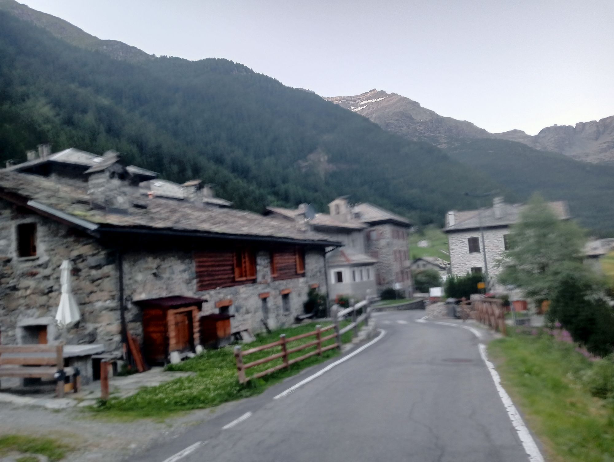
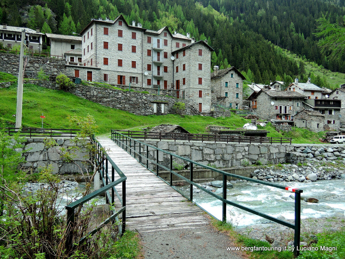
Park the car in the locality Chiareggio in a large parking area. Follow the signs for trail no. 323. First, you descend a few dozen meters to the Mallero Stream, which is crossed via a comfortable wooden...
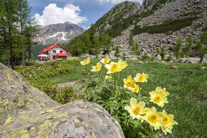
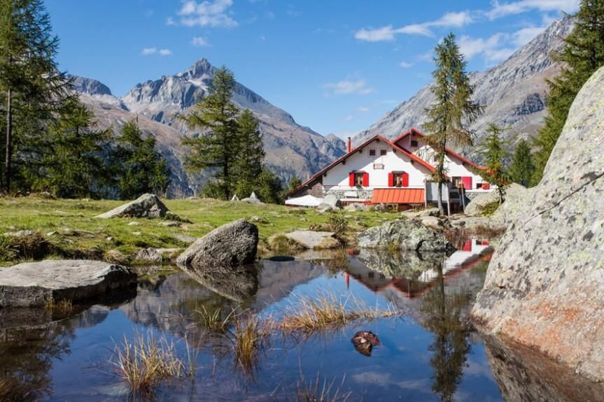
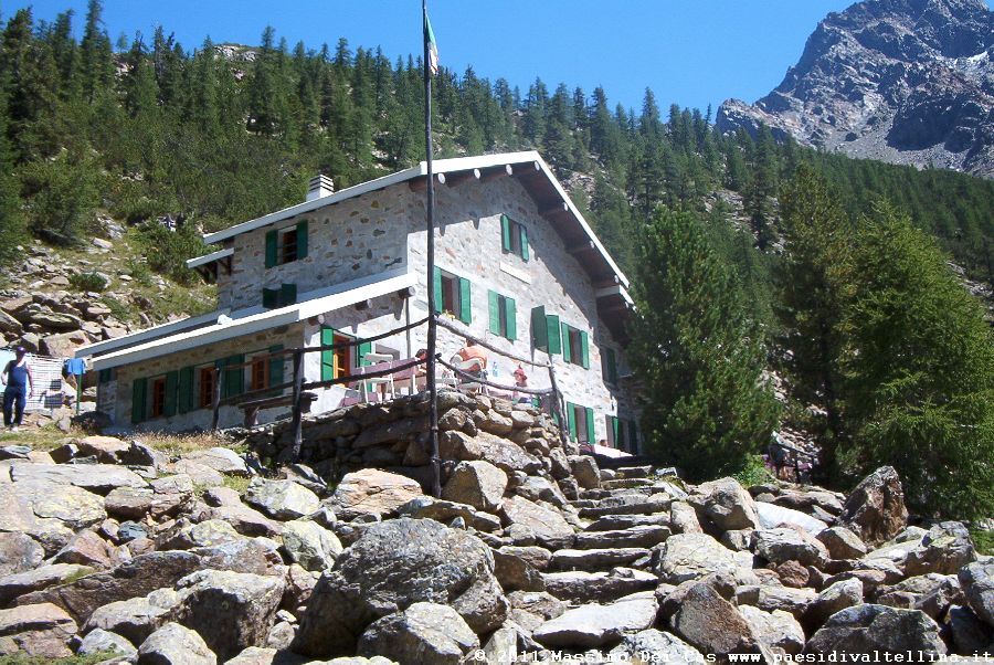
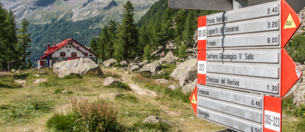
Park the car in the locality Chiareggio in a large parking area. Follow the signs for trail no. 323. First, you descend a few dozen meters to the Mallero Stream, which is crossed via a comfortable wooden footbridge. The path follows a wide mule track that gradually climbs towards the shelters. The elevation gain is limited, so the route is also suitable for families with children. The two shelters are located one after the other along a large plateau at about 2,000 meters altitude. From here, you can continue on two pleasant and interesting routes: the Millenary Larch trail and the Vittorio Sella Glaciological Path at Ventina.


CHIURO-PONTE IN VALTELLINA-TRESIVIO-MONTAGNA IN VALTELLINA-POGGIRIDENTI-SONDRIO



Oblíbené prohlídky v okolí
-
4.9
Maloja - Motta Salacina - Lägh da Cavloc - Maloja
středníTuristika 10.3 km -
4.8
SAC Tschierva
světloTuristika 24.7 km -
4.0
Mittelstation Murtèl – Fuorcla Surlej – Val Roseg – Pontresina
středníTuristika 23.5 km -
4.8
Corvatsch Murtèl - Fuorcla Surlej
středníTuristika 4.52 km -
5.0
Maloja-Piz Lunghin-Pass Lunghin-See Lunghin- Blaunca- Maloja
středníTuristika 15.5 km -
4.8
Val Roseg - Tschierva Hut
středníTuristika 5.12 km -
4.0
721 Senda Ils Lejins Sils/Furtschellas
středníTuristika 6.02 km -
3.6
Maloja - Cavloccio - Orden d'Ent - Orden
středníTuristika 7.78 km -
4.5
87 Via Engiadina: Stage 1 Maloja-Silvaplana
středníTuristika 12.7 km -
5.0
Maloja- Lägh da Cavloc
středníTuristika 3.22 km

Pěší turistika a stopování


Nenechte si ujít nabídky a inspiraci pro vaši příští dovolenou
Vaše e-mailová adresa byl přidán do poštovního seznamu.





