






Val Neira
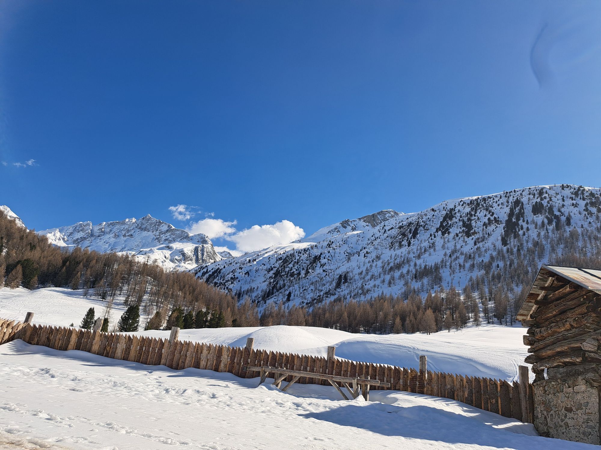
Starting from parking lot P7 Chese'ira da Campac, follow a first flat stretch. Then go up to the left, where a small white house can be seen, and continue until Plan da Rin Alt. From here the path becomes...
Starting from parking lot P7 Chese'ira da Campac, follow a first flat stretch. Then go up to the left, where a small white house can be seen, and continue until Plan da Rin Alt. From here the path becomes completely flat until Li Mota, where the Chese'ira dal Vach is visible. Then take the path to Val Ne'ira, passing through a short stretch of forest overlooked by the Crosc da Val Ne'ira until reaching the Val Ne'ira waterfall. Continue on path 114, on the left side of the valley, with a majestic view of the glaciers. The path, just marked, becomes increasingly challenging and suitable for good hikers to reach the Boche'ta dal Co'rn dali Ca'bra. From here descend on a snowy stretch crossing the Vedre'ta and arriving at the Lach dali Mina. Then continue downhill, which becomes gentler only when reaching the Chese'ira dal Gras di Agne'i and then becomes drivable on path N119 until parking P6 La Tresge'nda.
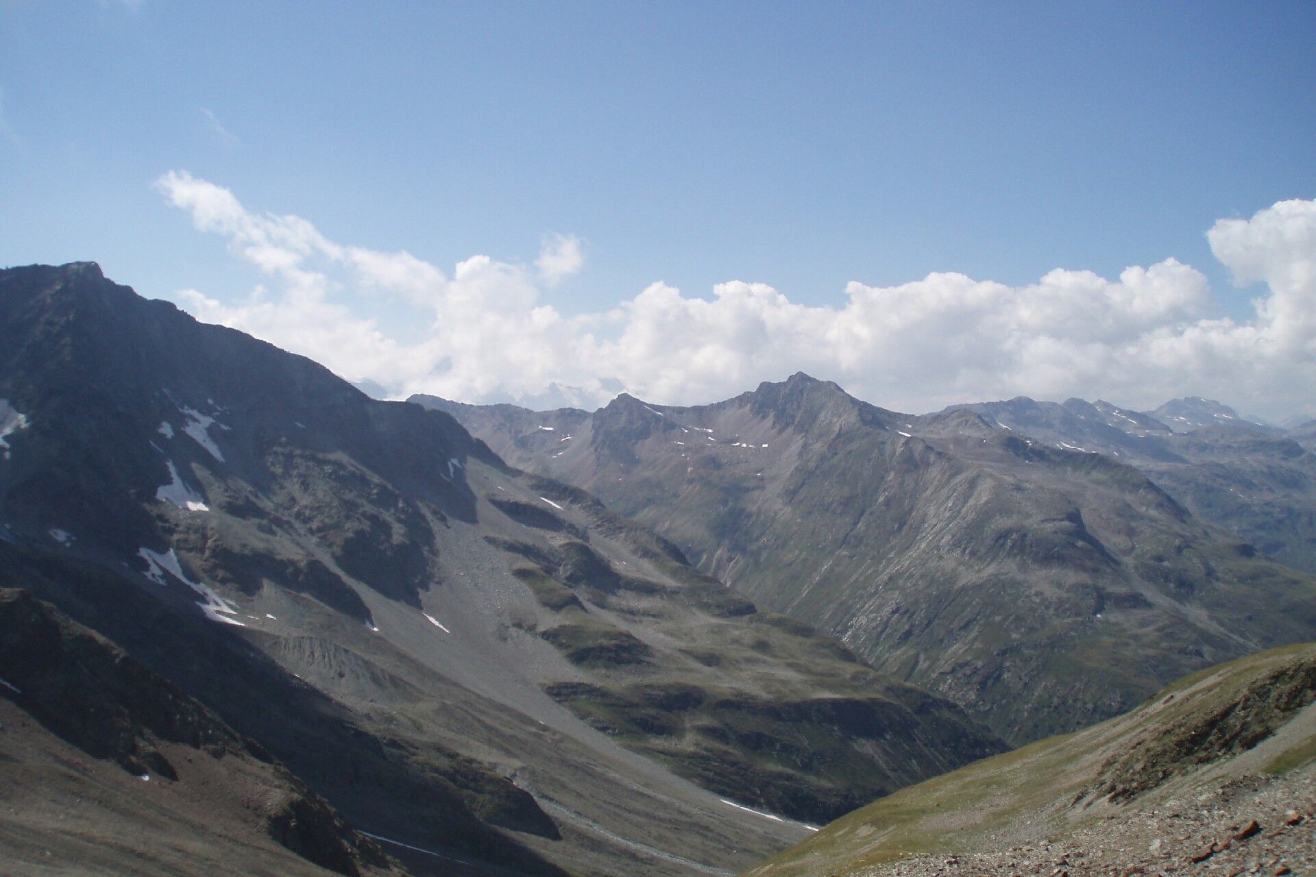

P7 C. dal Campa'c - Aqua dal Ve'sc'cof - Val Ne'ira - Boche'ta dal Co'rn dali Ca'bra - I Lach dali Mi'na - P6
Val Ne'ira. Charming valley to the south of the Livigno area, with a wide variety of landscapes, characterized by larch and dwarf pine forests at its entrance and for a short stretch, then leading into an untouched environment, of absolute silence, interrupted only by the roar of the purest watercourses originating from the overlying Paradisin glacier which appears in the background in all its grandeur.
Získejte přehled
Vždy živě na místě s více než 9 500 webkamerami. bergfex Jako uživatel Pro si nyní můžete zobrazit odpovídající webové kamery pro mnoho prohlídek v aplikaci prohlídky z. Můžete si tak přímo prohlédnout aktuální podmínky.
Oblíbené prohlídky v okolí
-
4.7
Diavolezza - Munt Pers
světloTuristika 3.82 km -
5.0
Mountain hike to Lagh da Saoseo
heavyTuristika 15.0 km -
4.7
Morteratsch Glacier route
světloTematická stezka 2.88 km -
4.3
Piz Palü (3.905m) – Hochtour
středníVysokohorská turistika 13.4 km -
4.5
Diavolezza - Lej da Diavolezza
středníTuristika 6.22 km -
5.0
Lagalb - Val Minor - Motta Bianca - Lagalb
středníTuristika 9.80 km -
5.0
Ospizio Bernina Station - Alp Grüm (-Cavaglia)
světloTuristika 4.97 km -
5.0
Crap da la Pare' with Joëlette
světloTuristika 4.58 km -
4.5
Muottas Muragl - Fuorcla Muragl - Val Chamuera
středníTuristika 17.6 km -
5.0
Diavolezza - Sass Queder
světloTuristika 1.55 km
Pěší turistika a stopování


Nenechte si ujít nabídky a inspiraci pro vaši příští dovolenou
Vaše e-mailová adresa byl přidán do poštovního seznamu.





