






On the ridge between Alpe Granda and San Ce'res.
Úroveň obtížnosti: T2
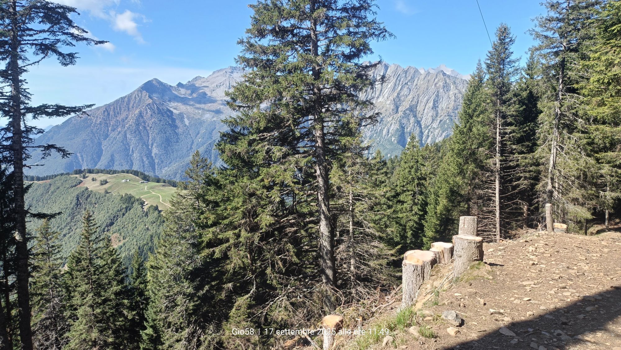
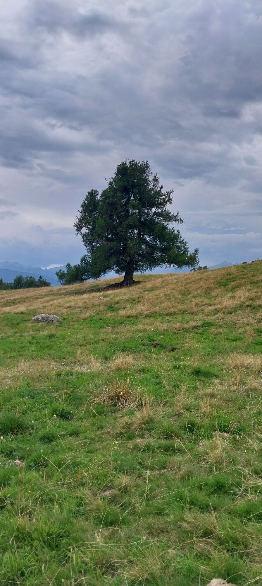
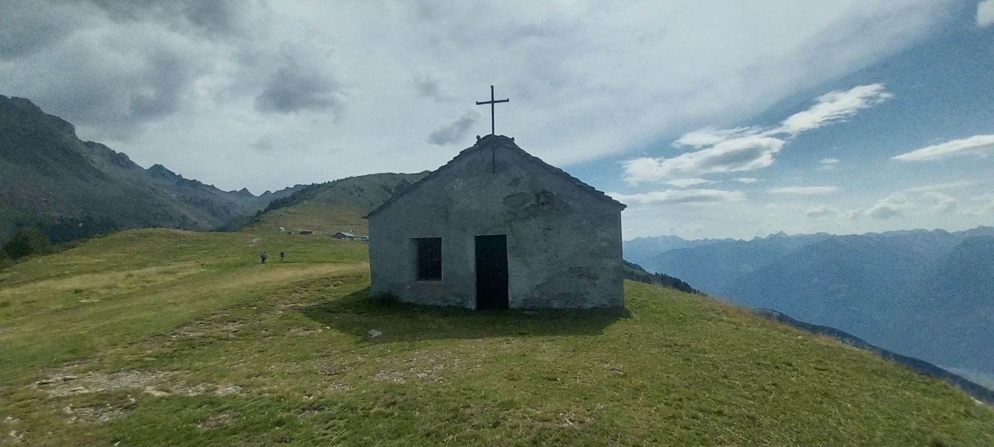
Between the two maggenghi of Our di Fondo and Our di Cima begins a dirt road that in about an hour leads to the panoramic meadow balcony of Alpe Granda. Leaving the small relief of Cima di Granda on the...
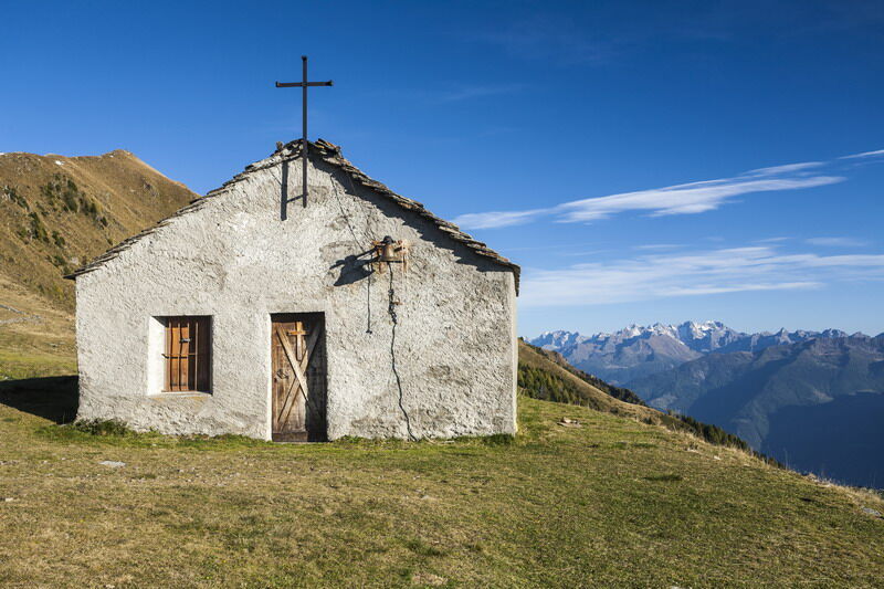
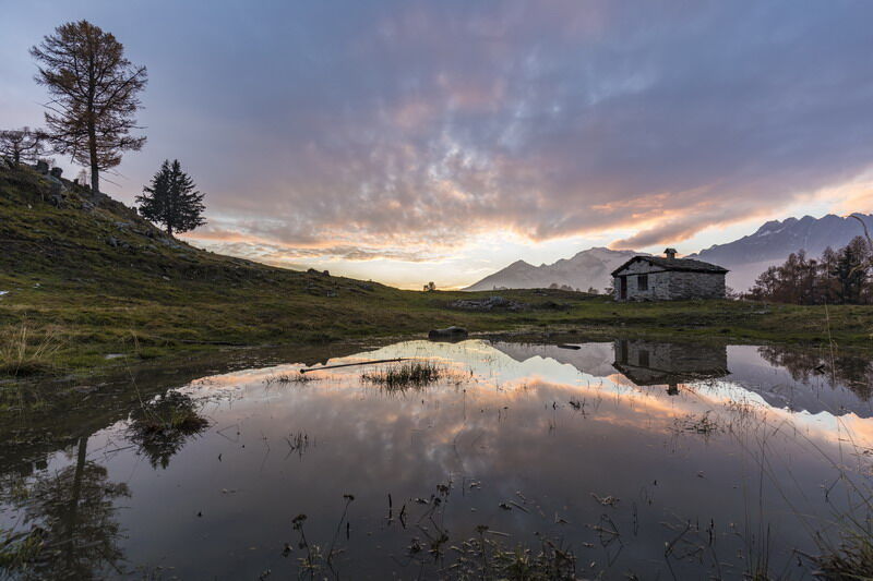
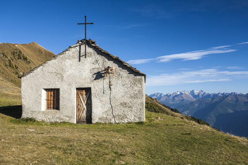
Between the two maggenghi of Our di Fondo and Our di Cima begins a dirt road that in about an hour leads to the panoramic meadow balcony of Alpe Granda. Leaving the small relief of Cima di Granda on the left, turn right, where, having climbed the pasture, you will find the new Alpe Granda hut (m 1688 a.s.l.). A track enters the forest, passing by Alpe Merla until, after two hairpin bends, you reach the middle section from the wide Scermendone pasture, straddling the long ridge that separates the Valtellina from the eastern part of Valmasino. From here there is a spectacular view, sweeping over much of Valtellina and the Orobie Mountains to the south, the great peaks of Valmasino to the north, Mount Disgrazia to the east, and the mountains of the Ce'ch Coast to the west. Past the small lake at a hut, continue along the ridge to the destination: the very ancient church of S. Quirico, known here as San Ce'res (m 2131 a.s.l.). The return involves the same route.

T2
Oblíbené prohlídky v okolí
-
4.5
Porro and Ventina Shelters
světloTuristika 3.12 km -
5.0
Sentiero Roma in Val Masino
heavyTuristika 33.8 km -
Rifugio Bosio-Galli (from Primolo)
středníTuristika 8.35 km -
5.0
Fusine-Dordona Pass (MTB-EMTB)
světloMountainbike 20.4 km -
Via Ferrata at Torrione Porro
středníVia ferrata 2.31 km -
5.0
Bosio-Galli Refuge (from Piasci)
světloTuristika 4.58 km -
Sentiero Roma Integrale in Valtellina
heavydálková pěší trasa 58.1 km -
Via Dei Terrazzamenti
střednídálková pěší trasa 74.1 km -
5.0
Dazio's Colmen - A Mediterranean oasis in the midst of the Alps
světloTuristika 5.62 km -
Alta Via della Valmalenco stage 3
středníVysokohorská turistika 13.4 km
Pěší turistika a stopování


Nenechte si ujít nabídky a inspiraci pro vaši příští dovolenou
Vaše e-mailová adresa byl přidán do poštovního seznamu.





