





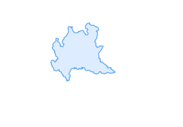

Via Alpina Stage R72. Arnoga - Eita

Úroveň obtížnosti: T1
Route that presents no particular difficulty with limited elevation gain. Starting point is Arnoga (1850 m) in Valdidentro, halfway between Bormio and Livigno; cross State Road 301 near the hairpin bend...
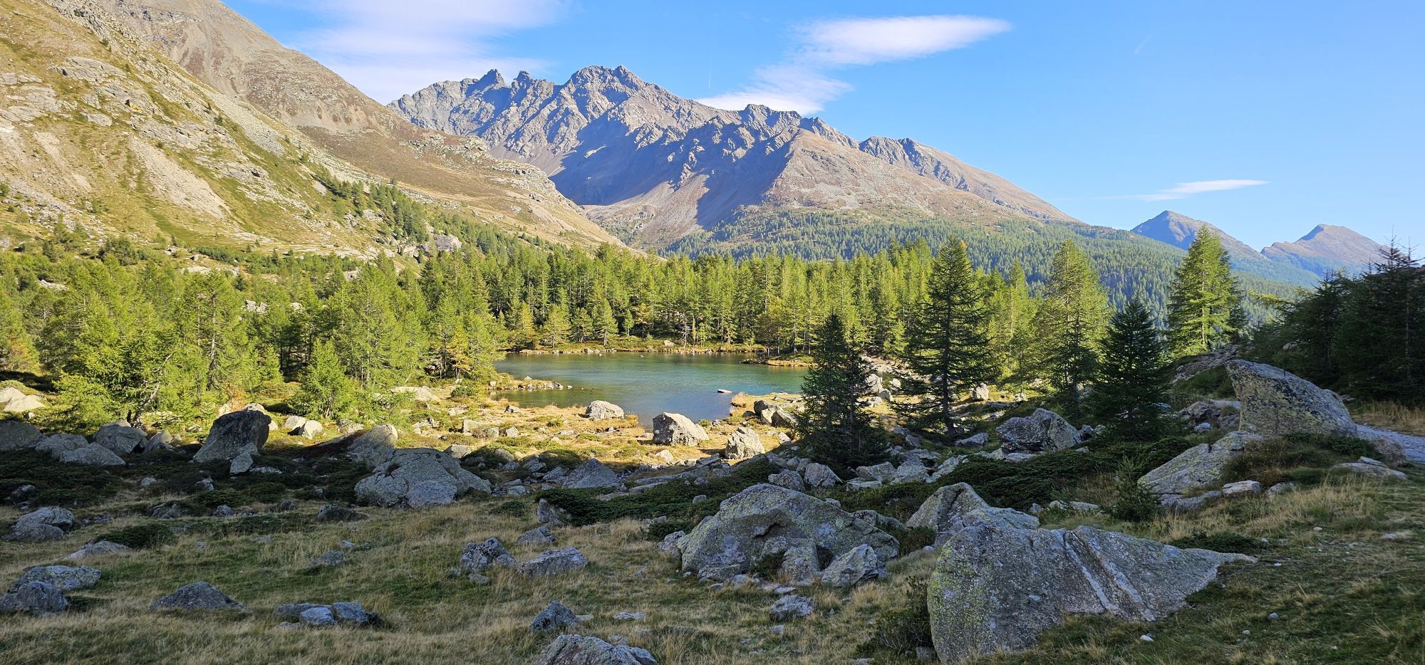
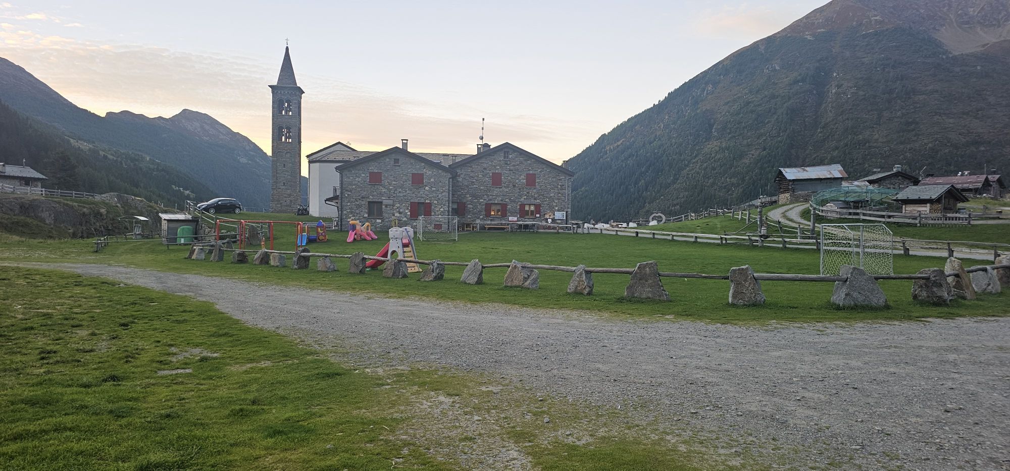
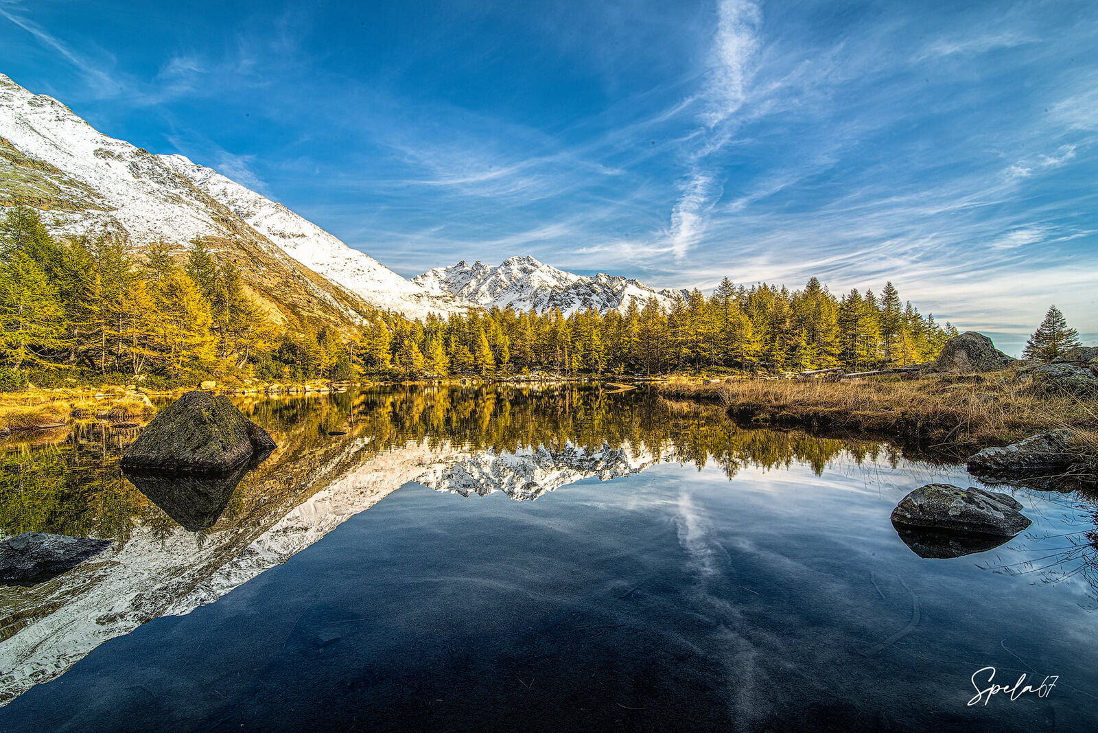
Route that presents no particular difficulty with limited elevation gain. Starting point is Arnoga (1850 m) in Valdidentro, halfway between Bormio and Livigno; cross State Road 301 near the hairpin bend and follow the low path indicated by Stelvio National Park trail markers. You enter the beautiful Val Viola on the orographic left side, descending after a few kilometers to the Viola stream, cross it over a convenient bridge to continue on a dirt road to Val Verva. The valley runs from north to south and joins Val Viola and Val Grosina. The road after a few tears leads out of the forest and passes near the Cascine di Verva (2123 m) and the alpine hut to reach the Verva Pass (2301 m). Continuing on you descend into Val Grosina Orientale passing the locality La Crote (2175 m) , a little further downstream you will find the junction on path N201.4 that portal to the beautiful alpine lake of Calosso called Lac Turchin by the locals because of its color. Further on you will reach the Acque Sparse Lake, and from there you will soon find the junction to Rifugio Falk (2005 m) , the Torbiera with its wonderful footbridges that will take you to the Cassavrolo Alpine pasture. From there the carriage road arrives easily in Eita.

Arnoga - Verva Pass - Cassavrolo - Eita
T1

Oblíbené prohlídky v okolí
- 5.0
Mountain hike to Lagh da Saoseo
heavyTuristika 15.0 km - 4.7
Val Nera Waterfalls
světloTuristika 5.70 km - 5.0
Monte Scale Loop Trail
heavyTuristika 7.53 km - 4.5
Da Sfazù a lago Saoseo
světloTuristika 11.0 km - 5.0
Livigno–Tour of the Lakes: Cancano–San Giacomo
středníMountainbike 47.1 km Mount of Mines
středníLyžařská trasa 4.78 kmVal da Camp (724)
středníTuristika 5.33 km- 5.0
Ascent to the Resa with Joëlette
světloTuristika 6.26 km - 5.0
On the slopes of the Reit to admire Bormio from above
středníTuristika 10.4 km - 5.0
Energy2Run Cancano
středníTrailrunning 19.1 km
Pěší turistika a stopování


Nenechte si ujít nabídky a inspiraci pro vaši příští dovolenou
Vaše e-mailová adresa byl přidán do poštovního seznamu.





