







Valgrosina Trail 38k

Úroveň obtížnosti: T3
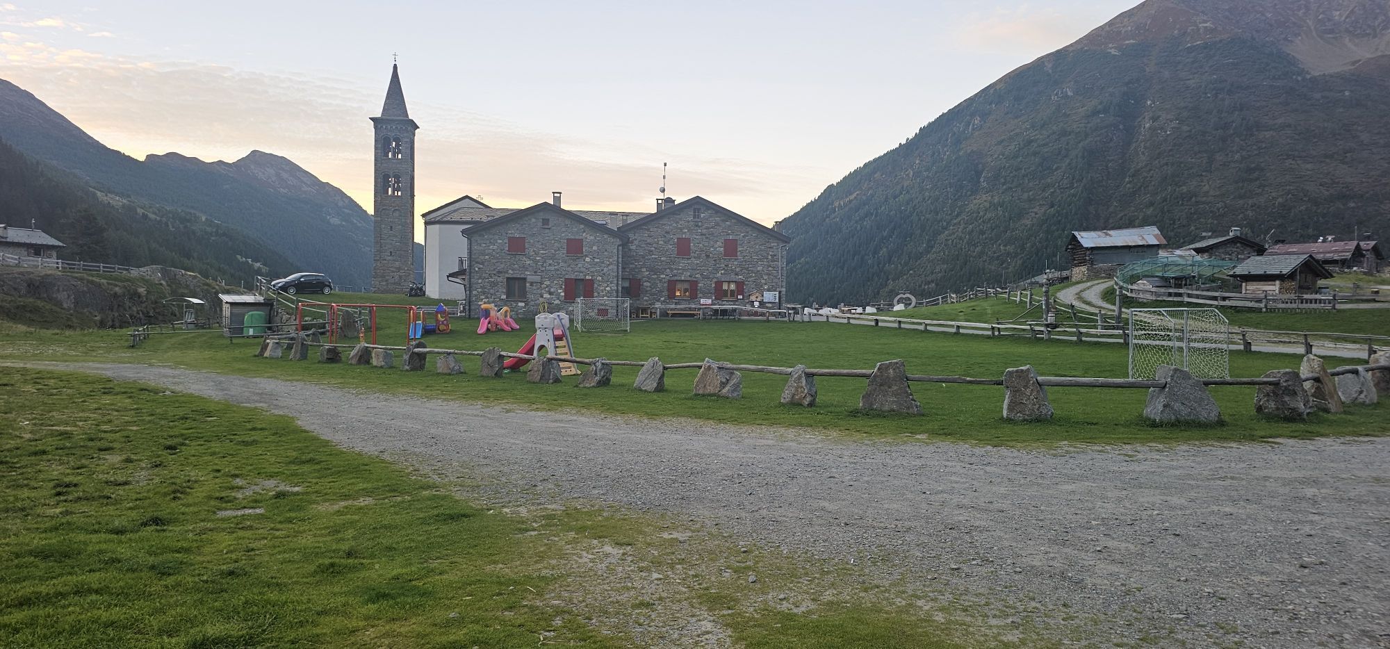
Less explosive than the short route, definitely more accessible than the long one, the medium route will take you to some of the most spectacular spots in Val Grosina. The itinerary, up to the location...
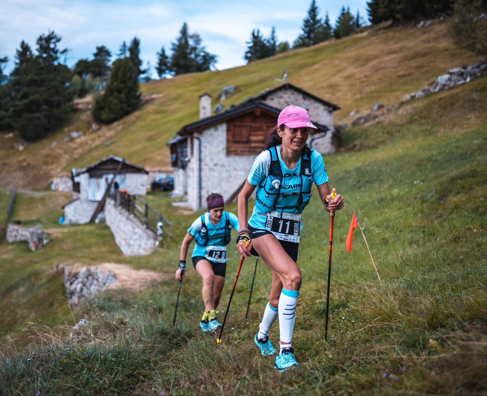
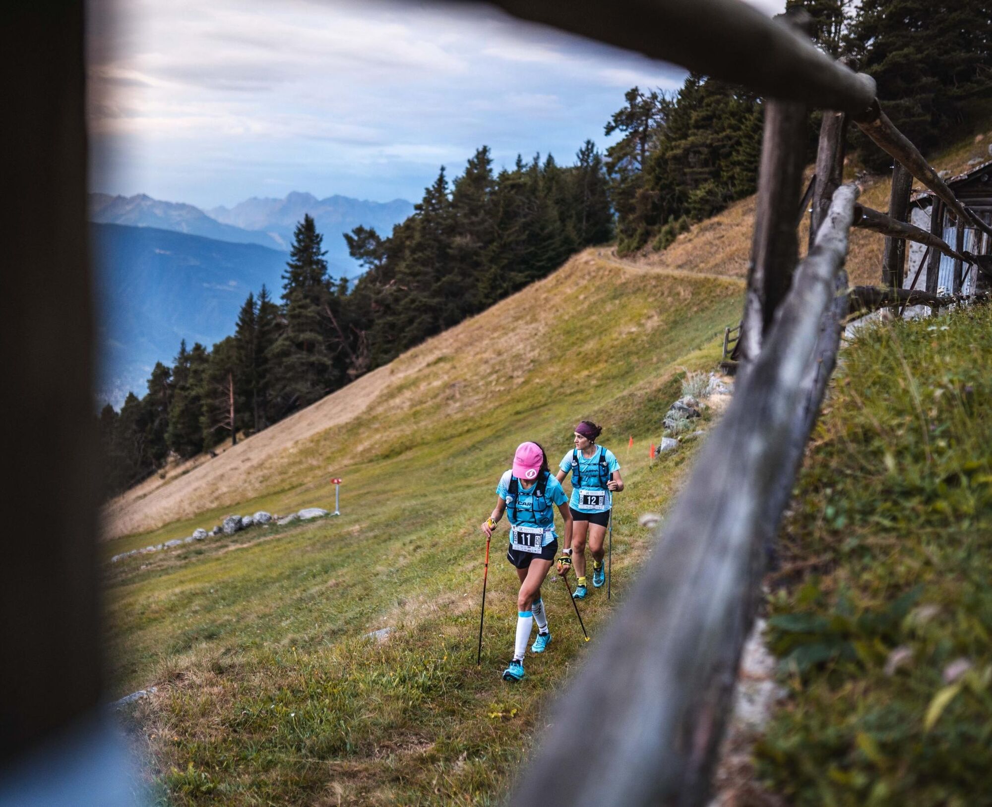
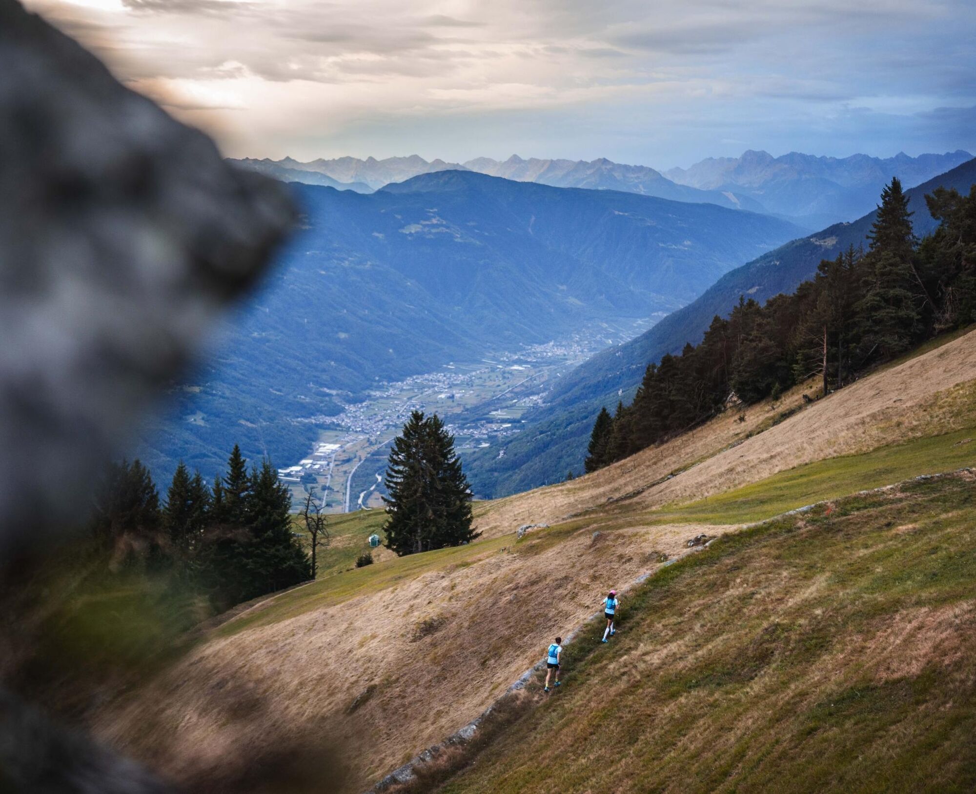
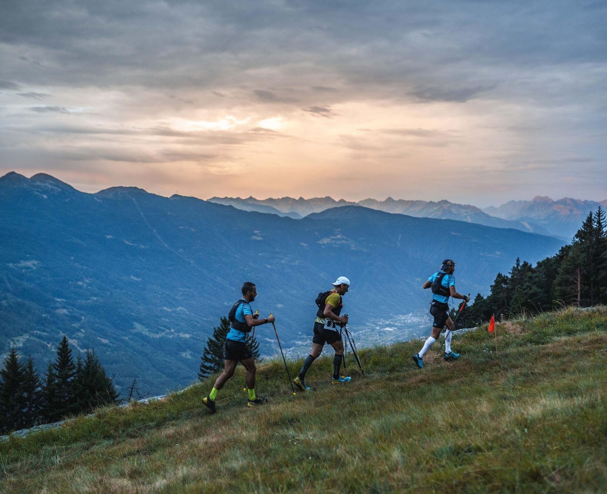
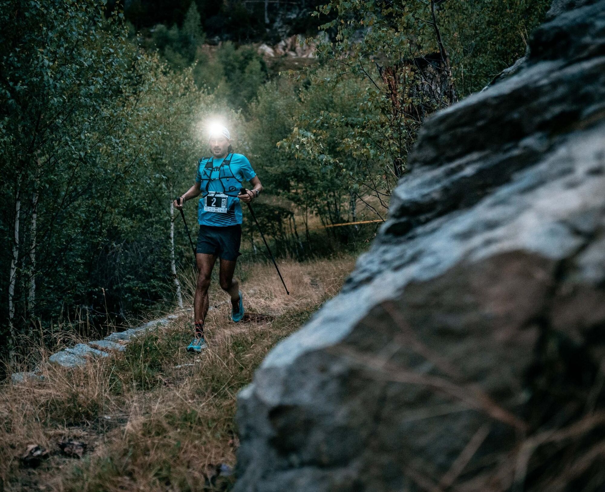
Less explosive than the short route, definitely more accessible than the long one, the medium route will take you to some of the most spectacular spots in Val Grosina. The itinerary, up to the location of Pra del Poda, is the same as the 12 km. From here, however, it continues to climb along the splendid mule track that rises with steep but regular slopes along the side of Mount Storile, bringing you close to 2200 m above sea level, where a narrow path will lead you to the location of Cigoz (1950 m a.s.l.), the site of the first refreshment point. Now begins a very runnable stretch, with several ups and downs leading to the little church of Redasco, climbing towards Casera (second refreshment) and then continuing along the old path that once connected this area with the cabins of Cassaruolo (1930 m a.s.l.). Now begins the most spectacular part of the race, which will take you through pastures and streams to reach the splendid lake of Acque Sparse, with very clear waters and surrounded by a lush pine forest (2020 m a.s.l.). It is time to descend, and the steep drop towards Eita (1700 m a.s.l.) is dizzying. From here, the descent continues, mostly in the shade of pine trees and with gentler slopes, leading first to Fusino (1200 m a.s.l., last refreshment point) and from there, after a short stretch of asphalt, to the little church of S. Giacomo, from which the route will return to the same as the short one, accompanying you to cross the finish line of Villa Visconti Venosta with tired legs and eyes full of wonder.



Ano
T3
Oblíbené prohlídky v okolí
-
5.0
Mountain hike to Lagh da Saoseo
heavyTuristika 15.0 km -
4.7
Val Nera Waterfalls
světloTuristika 5.70 km -
5.0
Monte Scale Loop Trail
heavyTuristika 7.53 km -
4.5
Da Sfazù a lago Saoseo
světloTuristika 11.0 km -
Val da Camp (724)
středníTuristika 5.33 km -
4.0
Adamello - Val Grande - Biwak
středníE-MTB 22.8 km -
5.0
On the slopes of the Reit to admire Bormio from above
středníTuristika 10.4 km -
Pizzo Filone
středníLyžařská trasa 7.60 km -
4.0
Lagh dal Teo - The gem at the foot of Piz dal Teo
Turistika 15.8 km -
Piz Cunfin , Poschiavo, Oberengadin
středníTuristika 26.9 km
Pěší turistika a stopování


Nenechte si ujít nabídky a inspiraci pro vaši příští dovolenou
Vaše e-mailová adresa byl přidán do poštovního seznamu.





