







Mount Forcellina - Val Viola
From Arnoga you follow the carriage road that runs halfway up the Viola valley; past the Permoglia huts you reach where the road gradually begins to climb. Almost at the end of the climb, you take the...
From Arnoga you follow the carriage road that runs halfway up the Viola valley; past the Permoglia huts you reach where the road gradually begins to climb. Almost at the end of the climb, you take the detour to the right for the Sattarona huts and with a few long hairpin bends, gradually to the left, you reach them, arriving at the wooded edge. From the last huts you begin to climb in a northerly direction, following a series of short slopes alternating with vallecole, and you reach the center of the wide valley. Continue in the direction of a rocky spur and pass it on the right, arriving on a ledge. From here you again pass a steep section on an open slope and then in succession another arriving at the beginning of a narrow little valley. Enter in a northwesterly direction and after a few hundred meters turn left arriving on a ridge; follow it first westward then northward arriving at the summit.

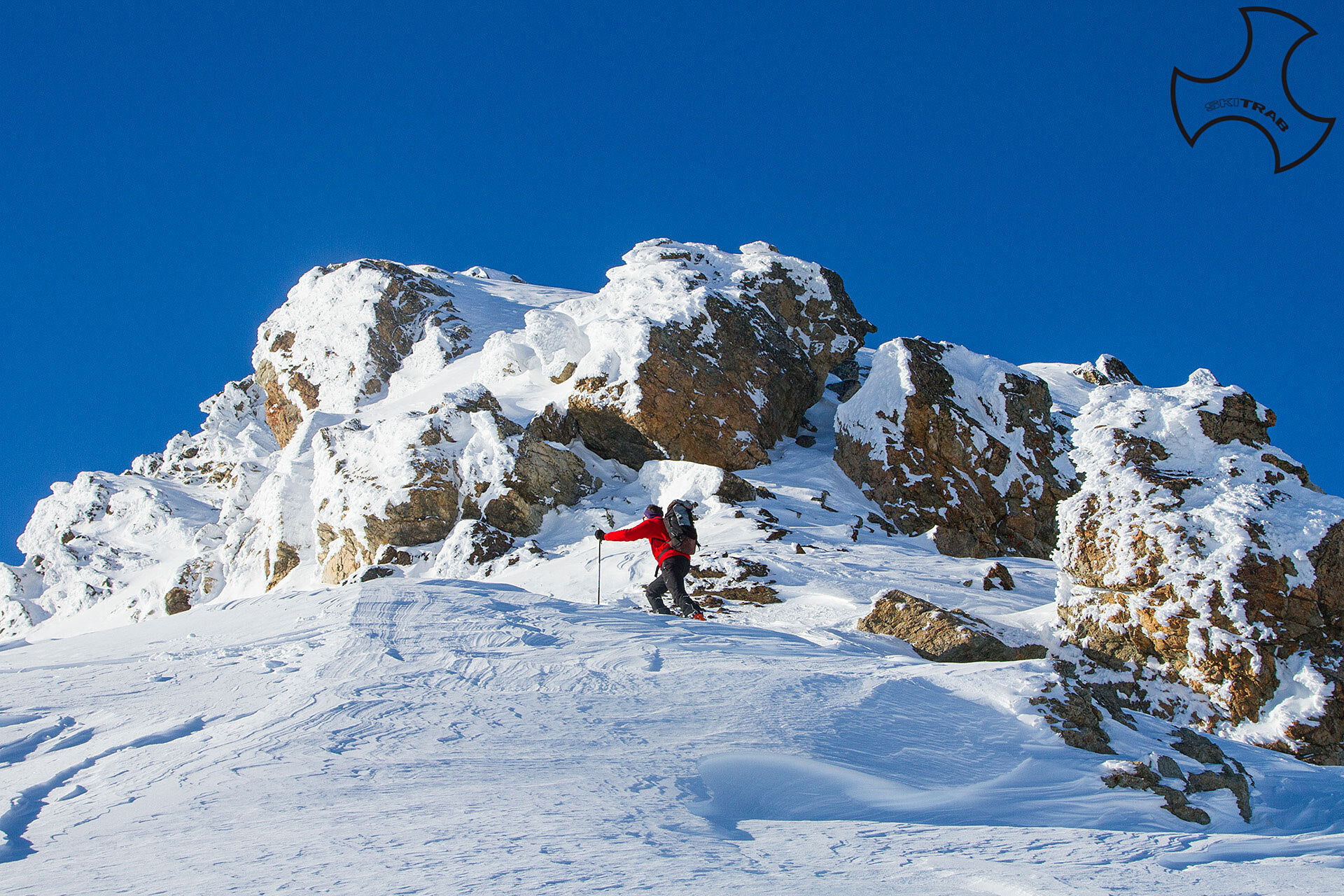
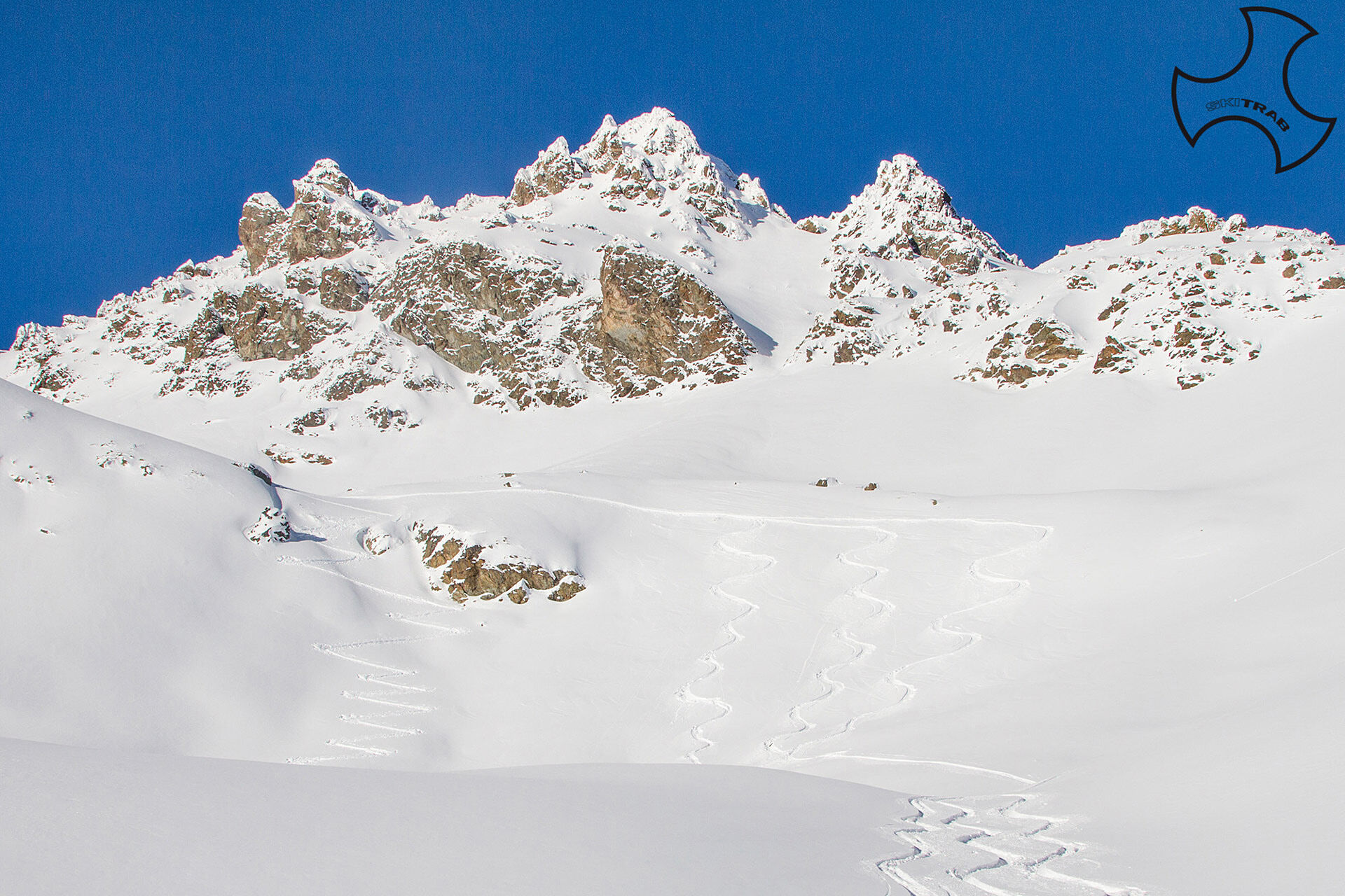
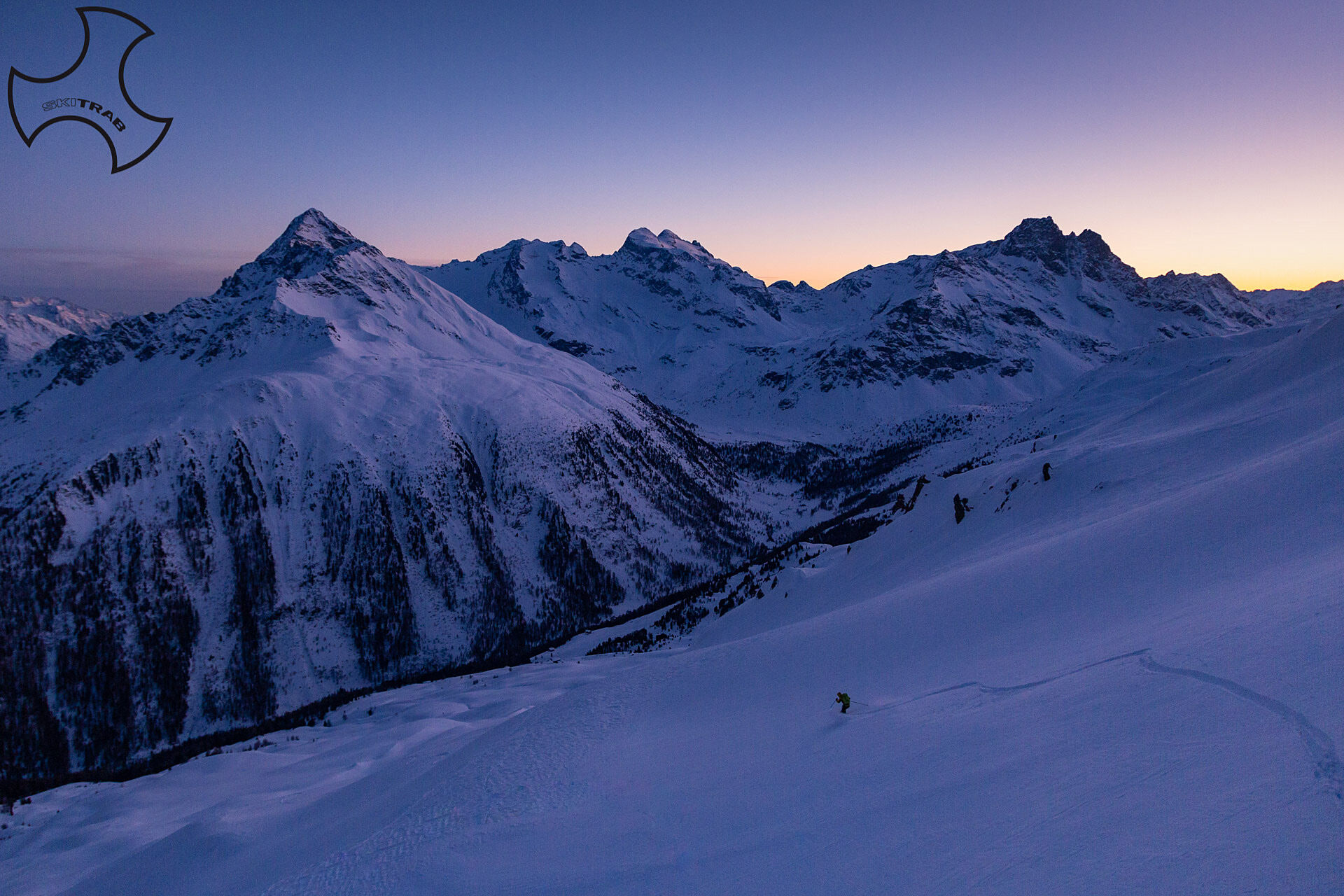
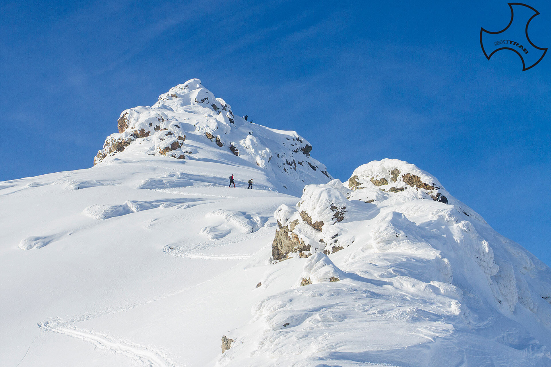

Arnoga, Sattarona, Monte Forcellina.
Self-rescue equipment (ARTVA, shovel and probe). Rampant.
The route description and trail are approximate and should be verified on site depending on the condition of the snowpack present during the hike.
Because this is a hike in a snowy mountain environment at high altitudes subject to continually changing snowpack conditions, it is advisable to have adequate experience in ski mountaineering, knowledge of the area, and up-to-date information on snow conditions.
Accompaniment with a professional guide is recommended.
At the hairpin bend descend to the left.
The route description and trail are approximate and should be verified on site depending on the condition of the snowpack present during the hike.
Because this is a hike in a snowy mountain environment at high altitudes subject to continually changing snowpack conditions, it is advisable to have adequate experience in ski mountaineering, knowledge of the area, and up-to-date information on snow conditions.
Accompaniment with a professional guide is recommended.
Získejte přehled
Vždy živě na místě s více než 9 500 webkamerami. bergfex Jako uživatel Pro si nyní můžete zobrazit odpovídající webové kamery pro mnoho prohlídek v aplikaci prohlídky z. Můžete si tak přímo prohlédnout aktuální podmínky.
Oblíbené prohlídky v okolí
-
5.0
Mountain hike to Lagh da Saoseo
heavyTuristika 15.0 km -
5.0
Lagalb - Val Minor - Motta Bianca - Lagalb
středníTuristika 9.80 km -
4.8
Val Nera Waterfalls
světloTuristika 5.70 km -
5.0
Crap da la Pare' with Joëlette
světloTuristika 4.58 km -
4.2
Val Federia Livigno
středníElektrokola 26.5 km -
5.0
Monte Scale Loop Trail
heavyTuristika 7.53 km -
4.5
Da Sfazù a lago Saoseo
světloTuristika 11.0 km -
5.0
Livigno–Tour of the Lakes: Cancano–San Giacomo
středníMountainbike 47.1 km -
Mount of Mines
středníLyžařská trasa 4.78 km -
Val da Camp (724)
středníTuristika 5.33 km
Pěší turistika a stopování


Nenechte si ujít nabídky a inspiraci pro vaši příští dovolenou
Vaše e-mailová adresa byl přidán do poštovního seznamu.





