






Cross of the Forest Top
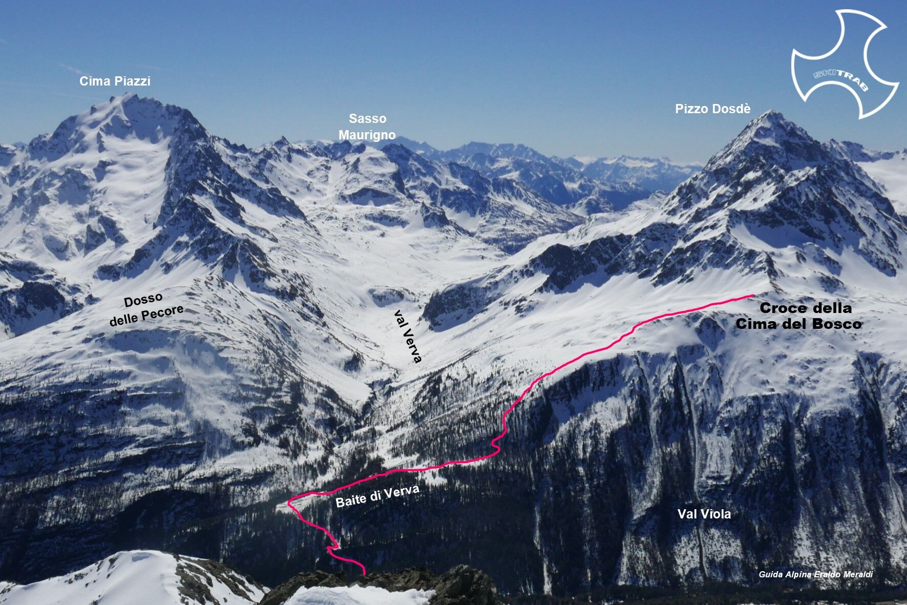
From Arnoga near the low parking area enter the Viola valley following the old mule track that enters flat until it passes Baite di Campo. Continue further until you meet the detour for the Verva valley,...
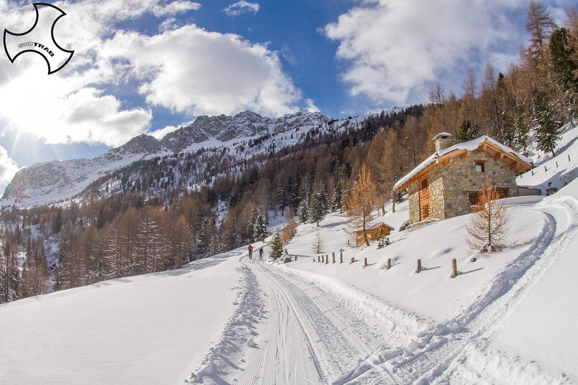
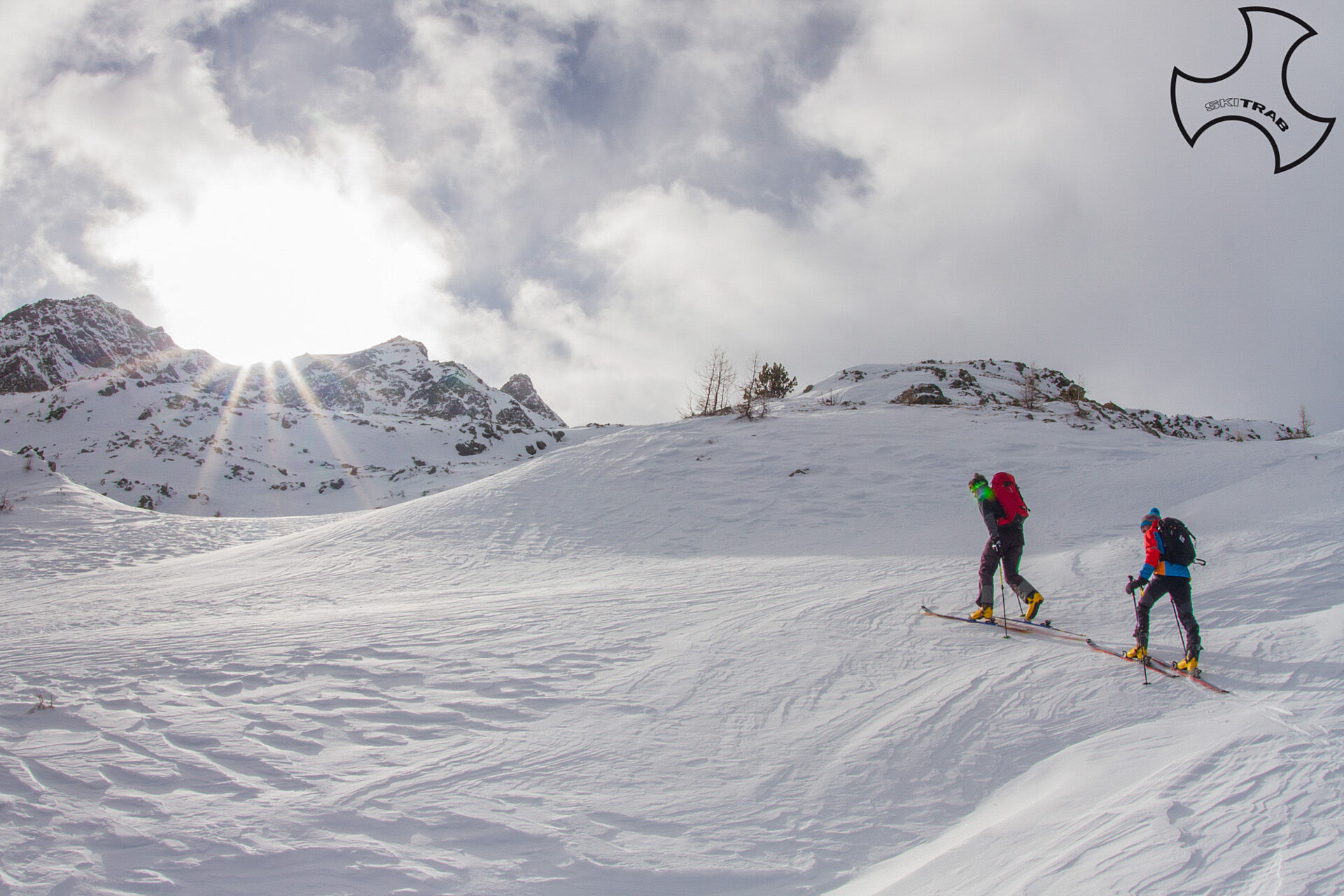
From Arnoga near the low parking area enter the Viola valley following the old mule track that enters flat until it passes Baite di Campo. Continue further until you meet the detour for the Verva valley, thus descending to the Viola River. After passing the bridge, after a short up and down, start climbing again, arriving in the vicinity of the Verva Bassa huts. Leaving the Verva valley, go up to the right to the huts of Verva Alta and continue in the forest following the wide ridge that gradually loses slope in the upper part. Leaving the wooded area, continue past a series of bumps and small valleys arriving at the end of the ridge.

Forni, Rifugio Branca, Val Ro'sole, Cima Branca.
Self-rescue equipment (ARTVA, shovel and probe). Rampant.
The route description and trail are approximate and should be verified on site depending on the condition of the snowpack present during the hike.
Because this is a hike in a snowy mountain environment at high altitudes subject to continually changing snowpack conditions, it is advisable to have adequate experience in ski mountaineering, knowledge of the area, and up-to-date information on snow conditions.
Accompaniment with a professional guide is recommended.
From the hairpin bend, descend to the left.
The route description and trail are approximate and should be verified on site depending on the condition of the snowpack present during the hike.
Because this is a hike in a snowy mountain environment at high altitudes subject to continually changing snowpack conditions, it is advisable to have adequate experience in ski mountaineering, knowledge of the area, and up-to-date information on snow conditions.
Accompaniment with a professional guide is recommended.
Oblíbené prohlídky v okolí
-
5.0
Mountain hike to Lagh da Saoseo
heavyTuristika 15.0 km -
5.0
Lagalb - Val Minor - Motta Bianca - Lagalb
středníTuristika 9.80 km -
5.0
Crap da la Pare' with Joëlette
světloTuristika 4.58 km -
5.0
Val Nera Waterfalls
světloTuristika 5.70 km -
4.2
Val Federia Livigno
středníElektrokola 26.5 km -
4.5
Da Sfazù a lago Saoseo
světloTuristika 11.0 km -
Mount of Mines
středníLyžařská trasa 4.78 km -
Val da Camp (724)
středníTuristika 5.33 km -
5.0
Monte Scale Loop Trail
heavyTuristika 7.53 km -
5.0
Ascent to the Resa with Joëlette
světloTuristika 6.26 km
Pěší turistika a stopování


Nenechte si ujít nabídky a inspiraci pro vaši příští dovolenou
Vaše e-mailová adresa byl přidán do poštovního seznamu.





