


Campodolcino - Isola- Pian dei Cavalli - Campodolcino bike loop.
At the end of the village of Campodolcino, follow the provincial road SP1 sunken into the narrow valley floor to the picturesque village of Isola, of which you follow the municipal road and then turn left...
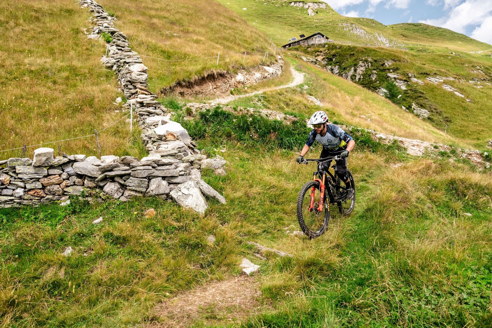
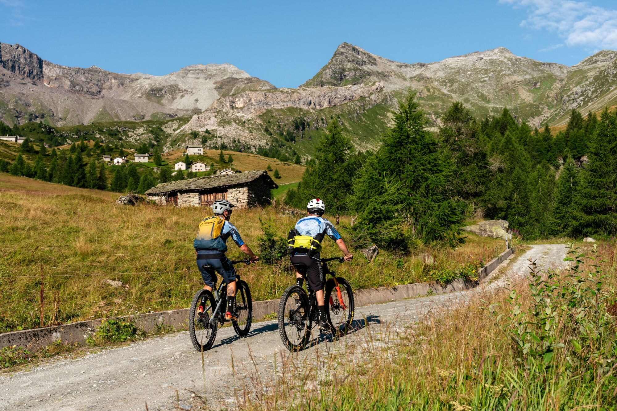
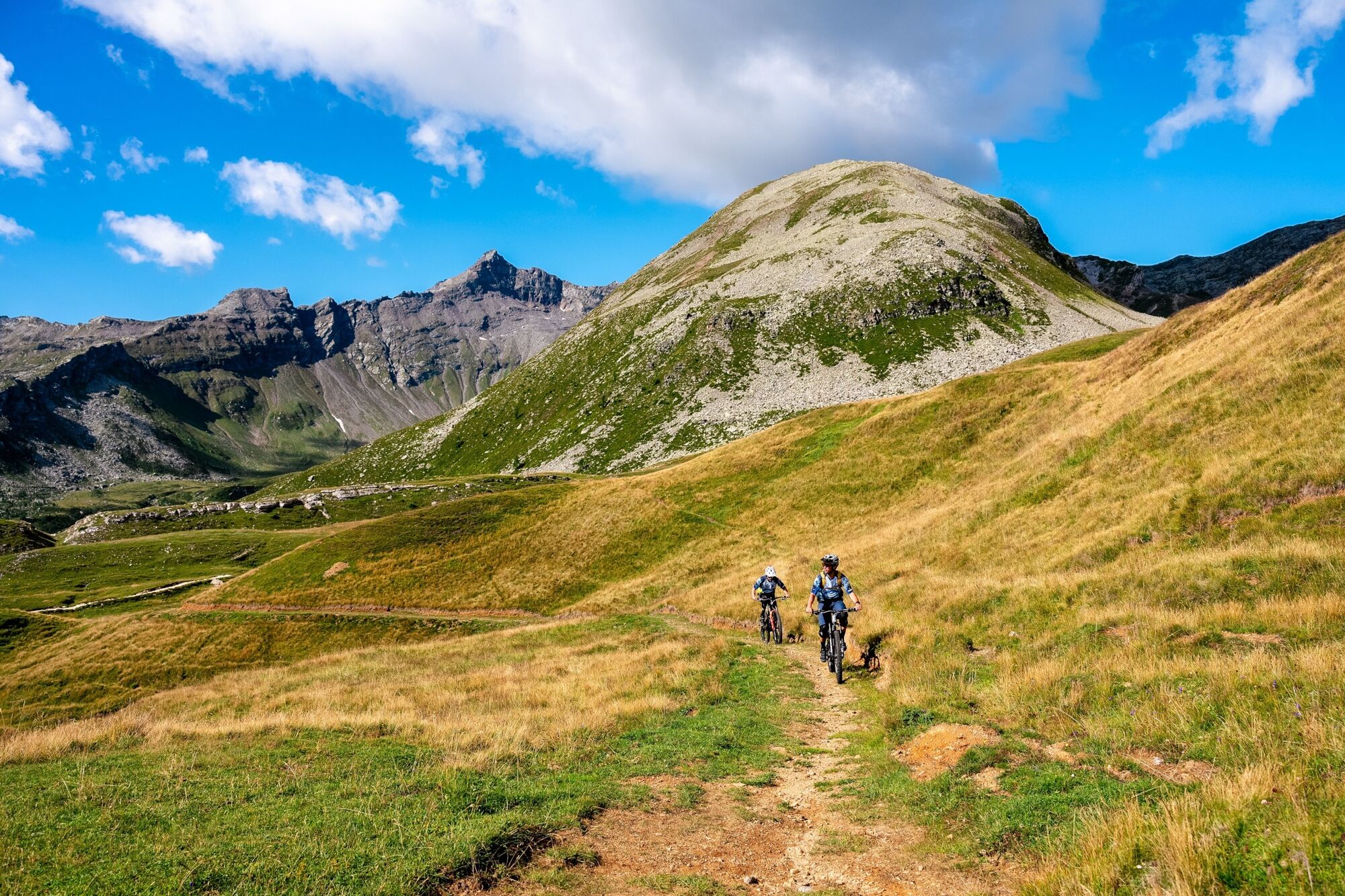
Passing the last huts of the Frondaglio alp, the panorama opens up offering a spectacular view of the upper Vallespluga. the forest gives way to wide pastures characterized by the presence of rhododendrons and alpine flowers. The new trail climbs with varying gradients until it reaches the center of the vast plateau of Pian dei Cavalli (m 2100). From here we descend to the southern edge of the plateau with gentle slopes on mixed ground, arrived above the Toiana Alp (m 1925) the trail descends for a few hairpin bends and then follows a long traverse with moderate gradients until entering the basin of S. Sisto. Cross a small bridge to the center of the valley and descend to the former quarry of S. Sisto (m 1769)and then follow the white consortium road to Starleggia (m 1560) and from here reach Campodolcino on a paved municipal road.

Oblíbené prohlídky v okolí
Acqua Fraggia waterfall scenic loop - Savogno
světloTuristika 3.44 km- 5.0
Montespluga - Splügen Pass - Bergseeli - Lago Azzuro - Bocchetta della Zacopel - Montespluga
heavyTuristika 7.15 km Montespluga - Lago di Montespluga - Cardinello Schlucht - Isola
středníTuristika 9.38 km- 5.0
Da Montespluga al Lago d’Emet
středníTuristika 7.94 km - 5.0
Chiavenna - Cranna - Borgonuovo di Piuro - Chiavenna Ring
středníTuristika 8.93 km Donadivo - Cermine - Alpe Cima hike
středníTuristika 4.86 kmLoop in the Giant's Kettles nature reserve
světloTuristika 3.77 kmFrom Chiavenna to Acquafraggia Waterfalls with joëlette
středníTuristika 3.53 kmMadesimo Andossi with joelette
Turistika 5.27 kmHiking to Belvedere di Chiavenna - Uschione
středníTuristika 2.06 km

Pěší turistika a stopování


Nenechte si ujít nabídky a inspiraci pro vaši příští dovolenou
Vaše e-mailová adresa byl přidán do poštovního seznamu.