






SV_08 Monte di Capo Noli e Caverna dei Falsari

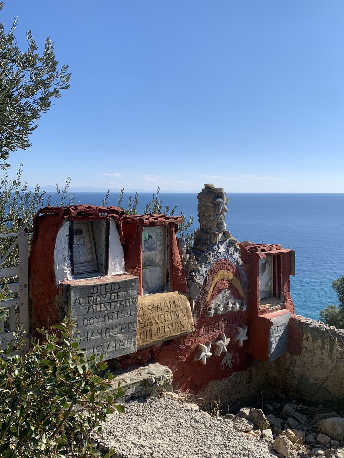

at the end of Via degli Orti, go up to the left along a mule track (trail marker: X red). A short path to the right leads at the Medieval Church of San Lorenzo. Go back in the main path (further an other...
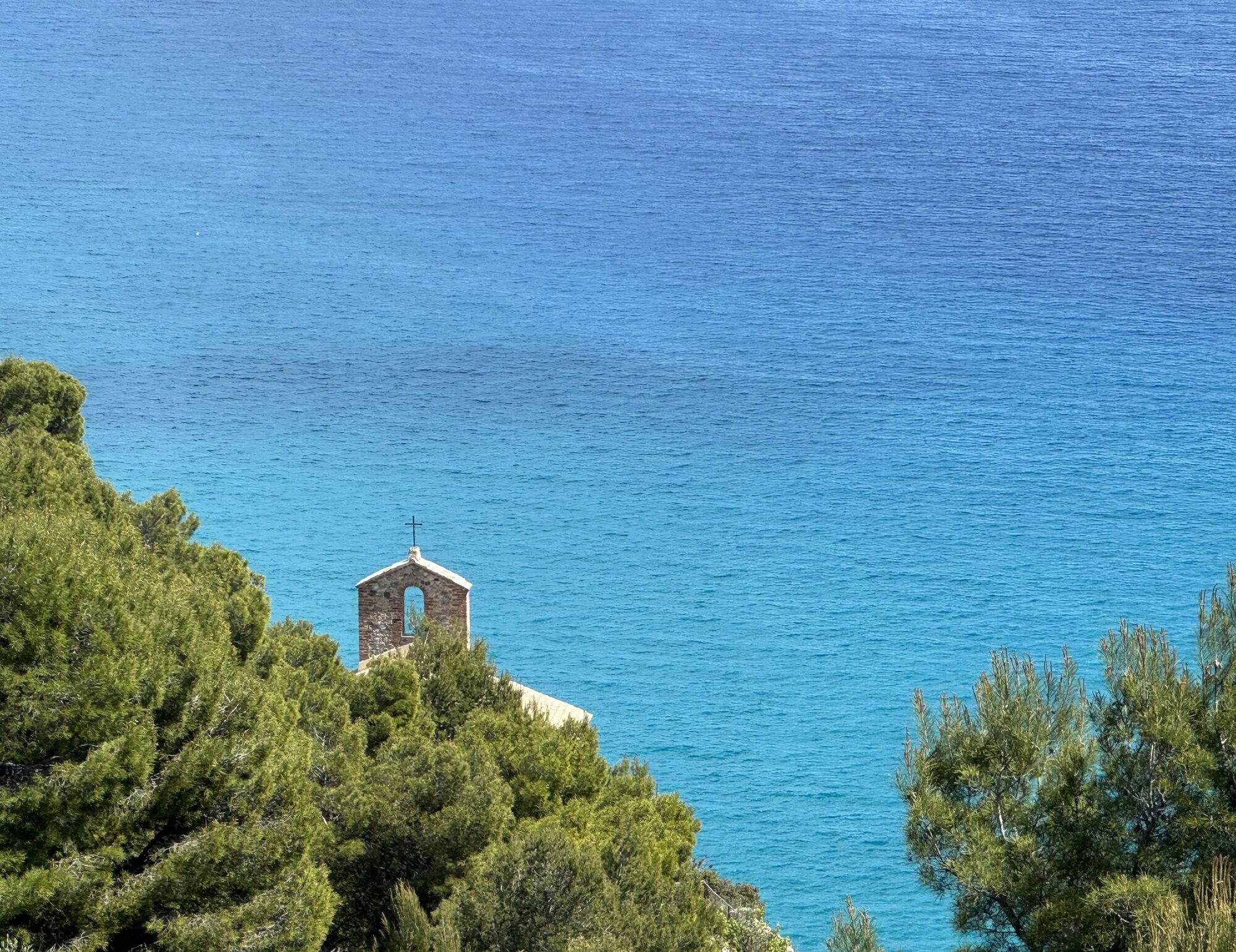
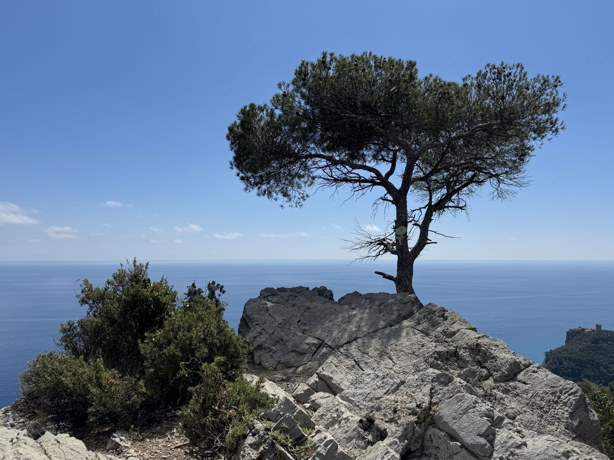
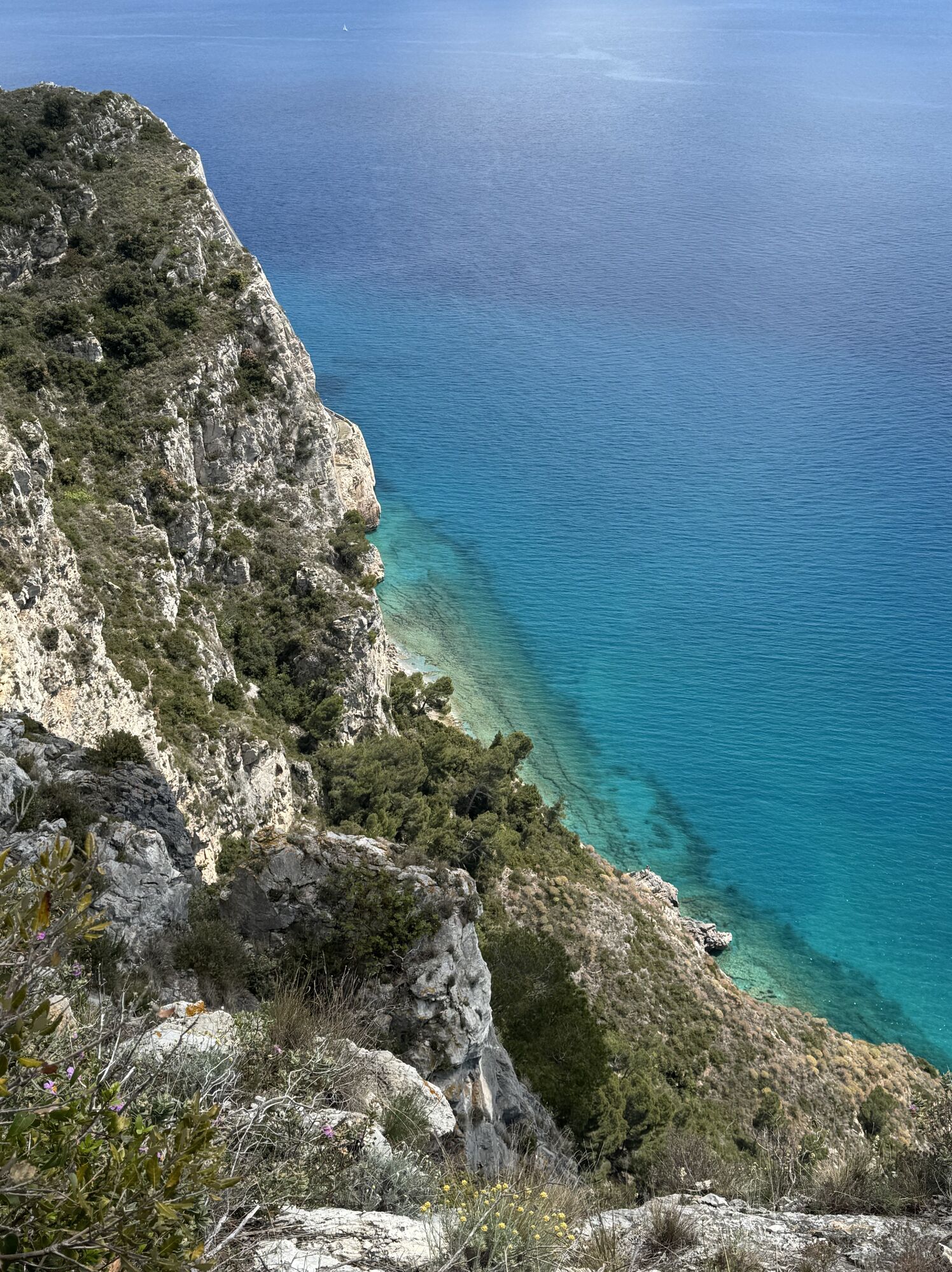
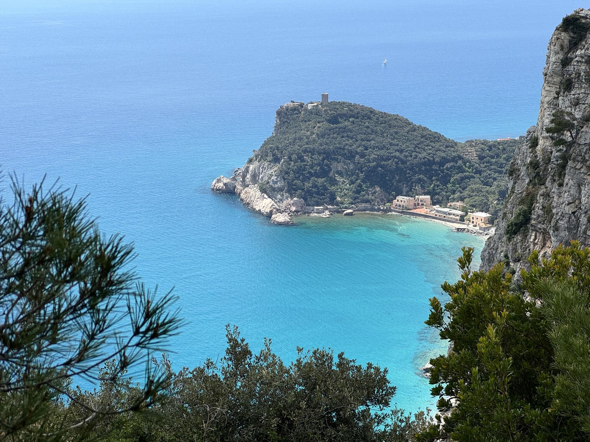
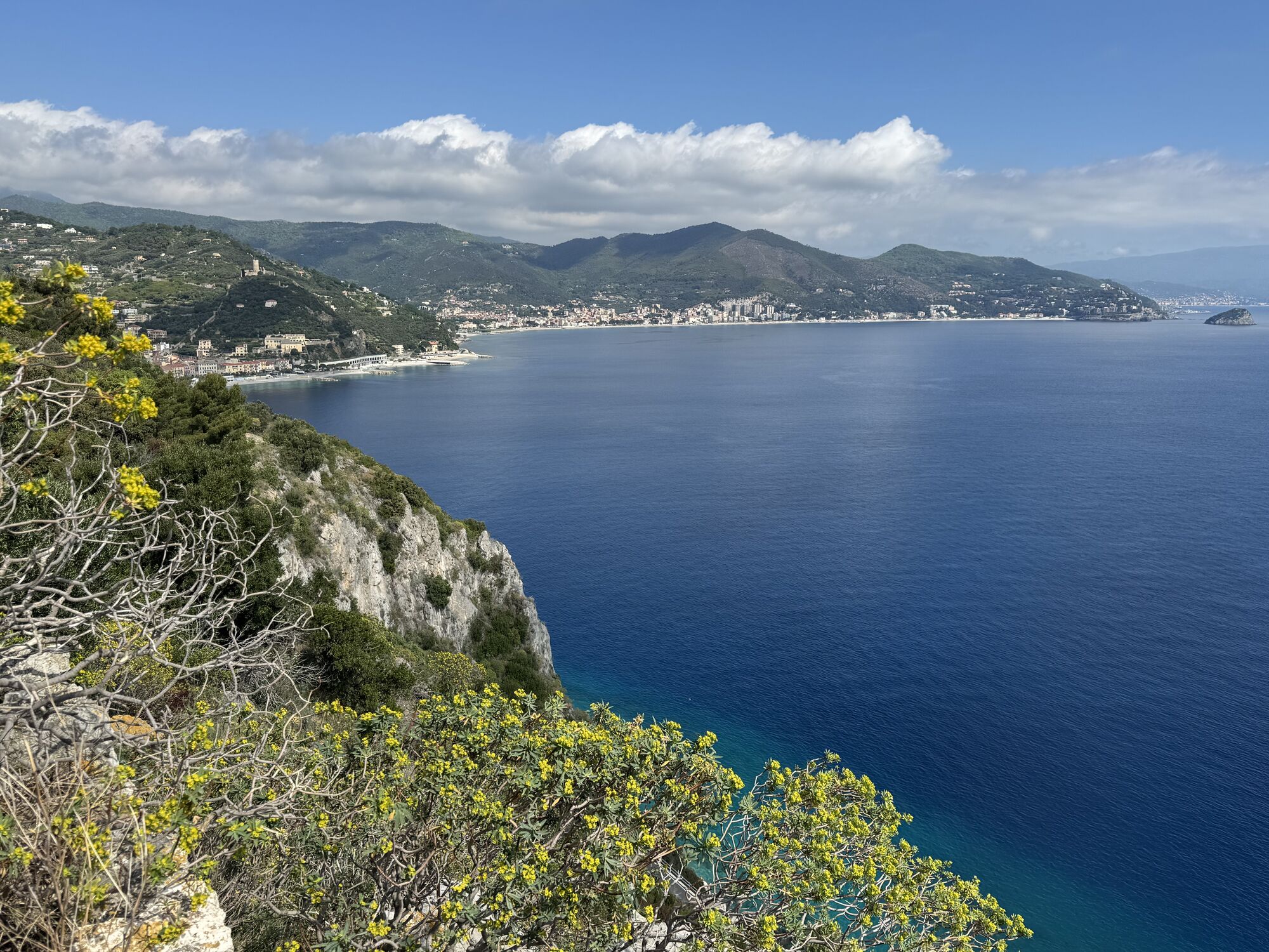
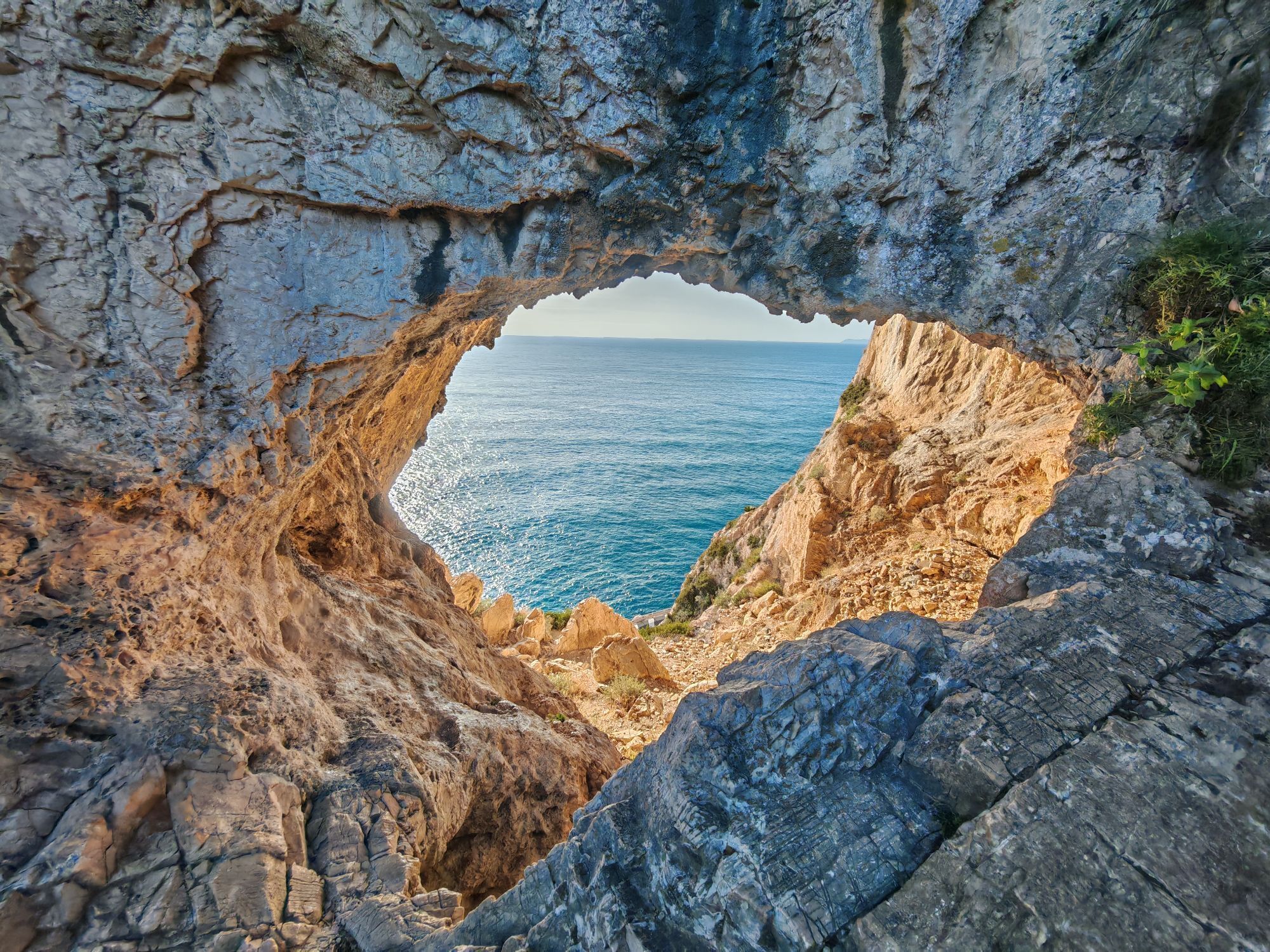
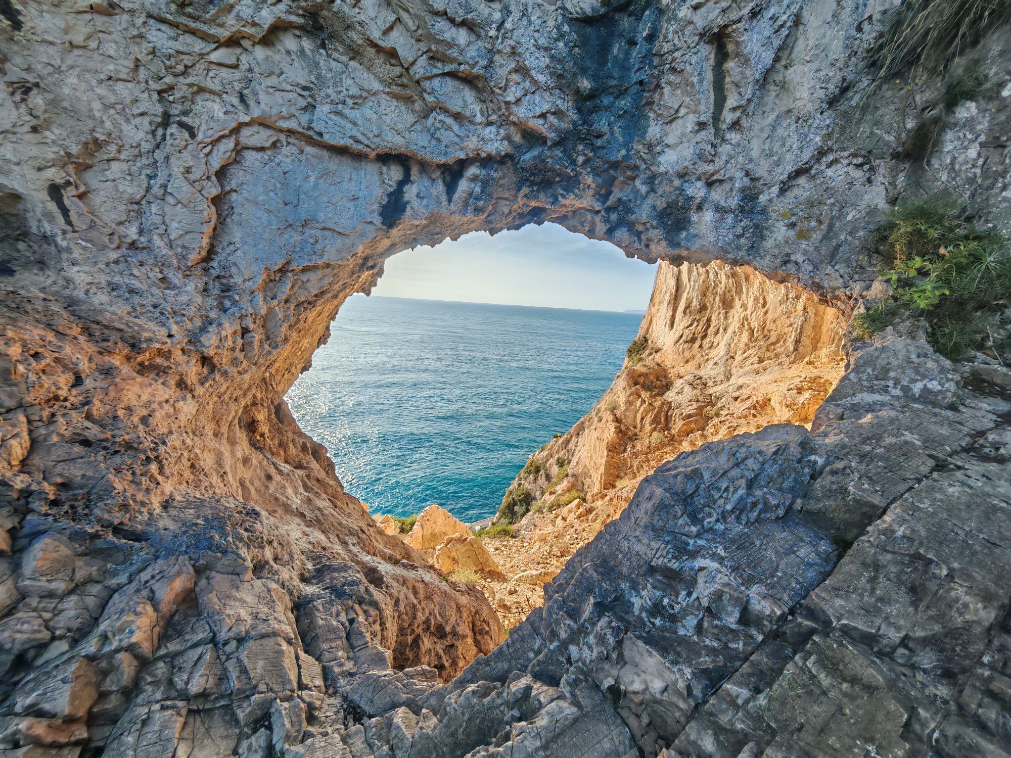
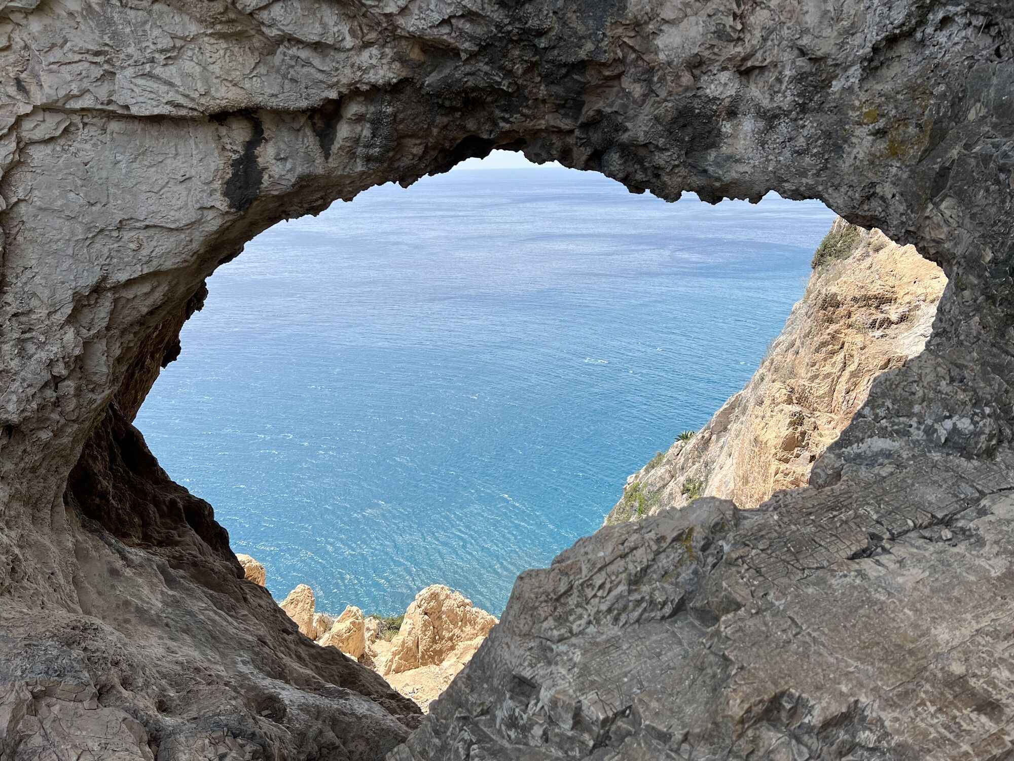
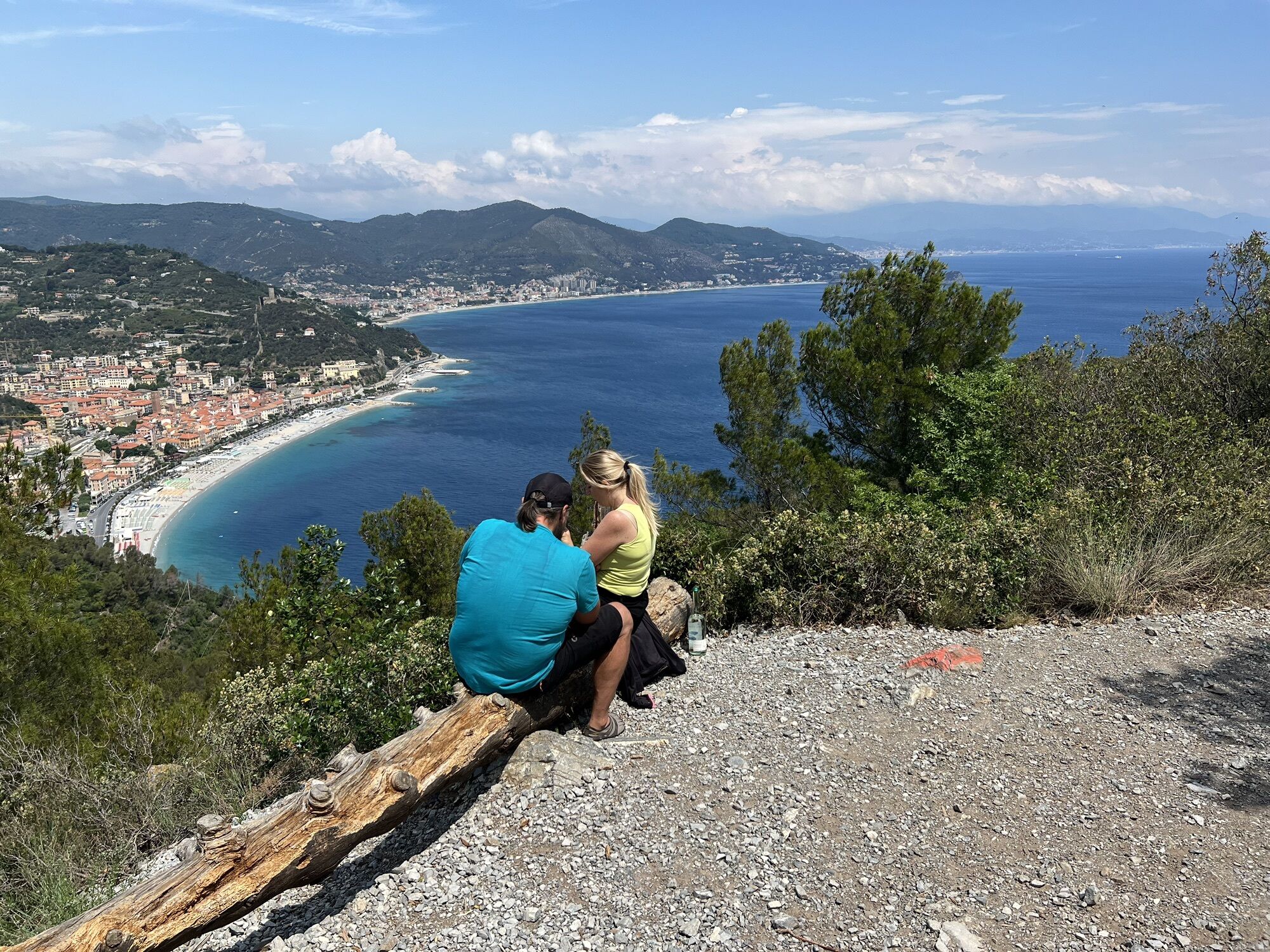
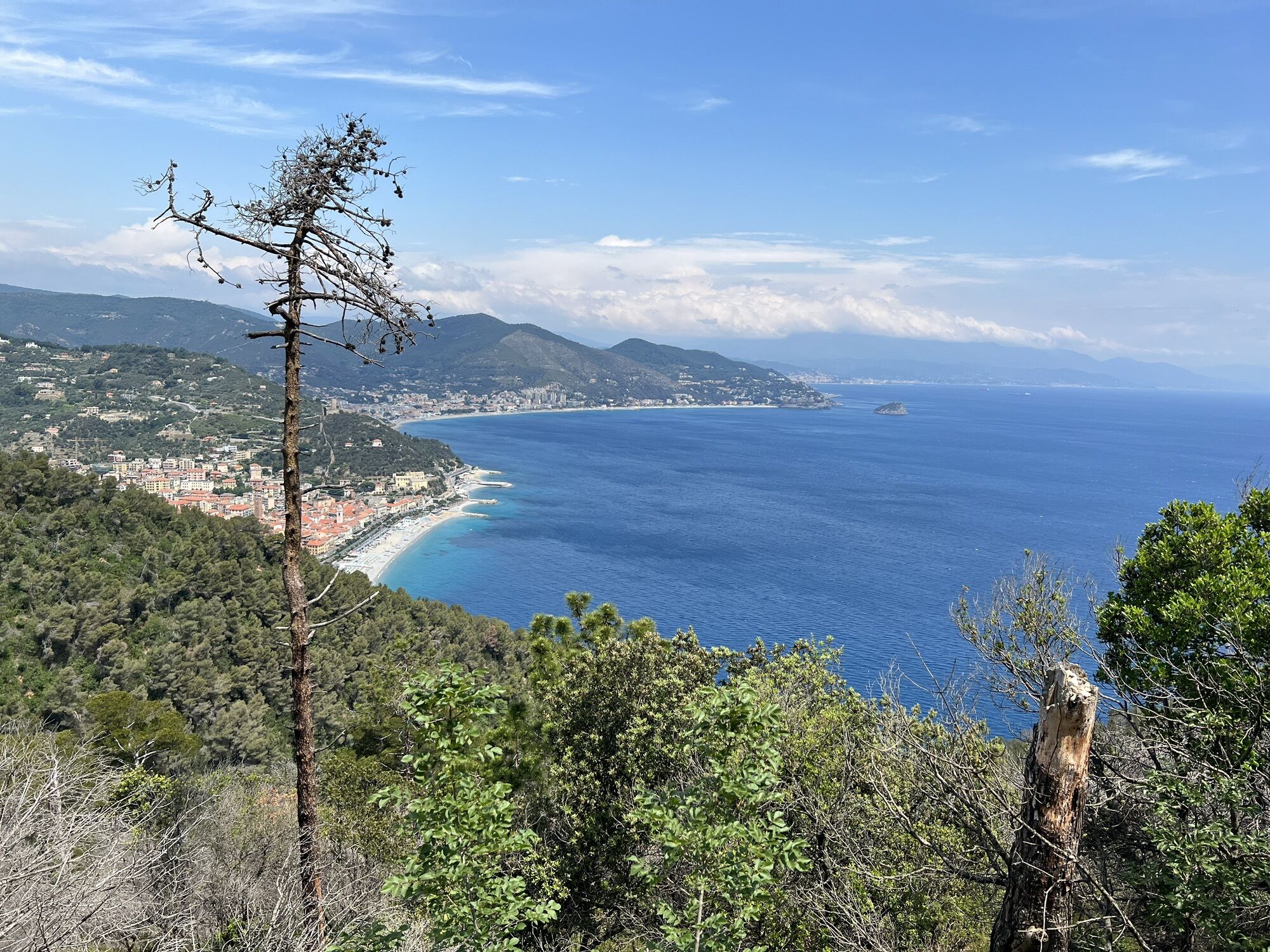
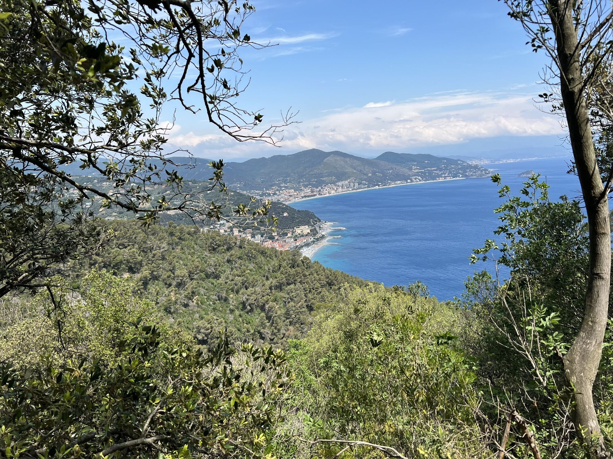
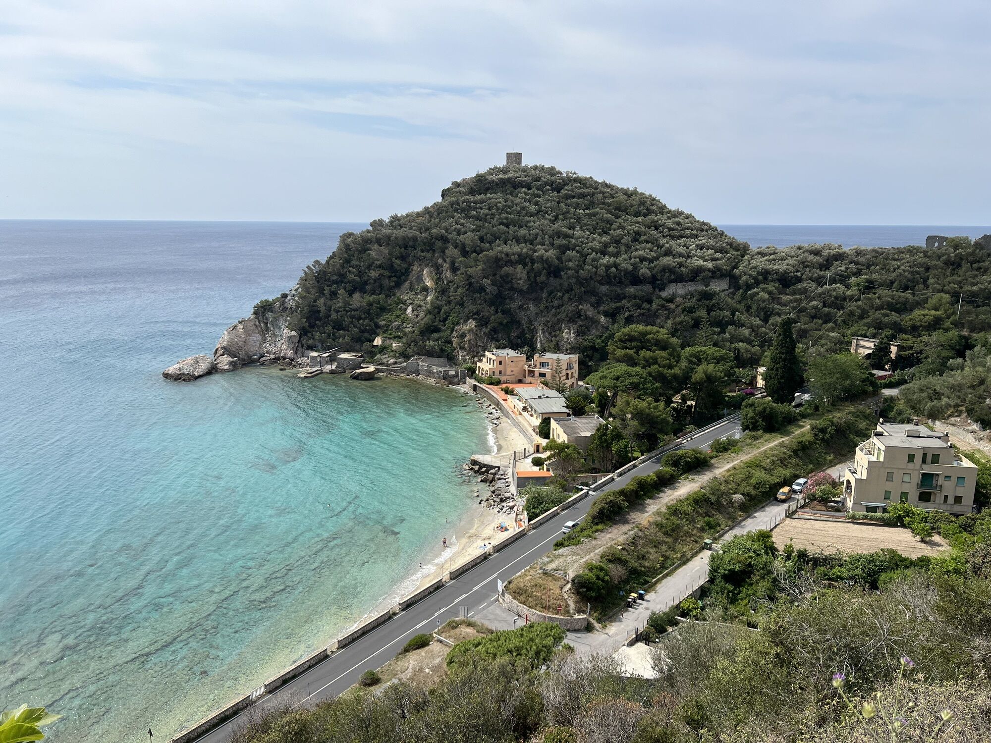
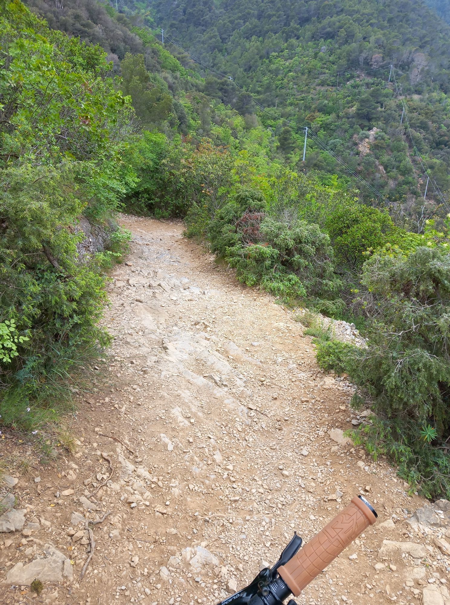
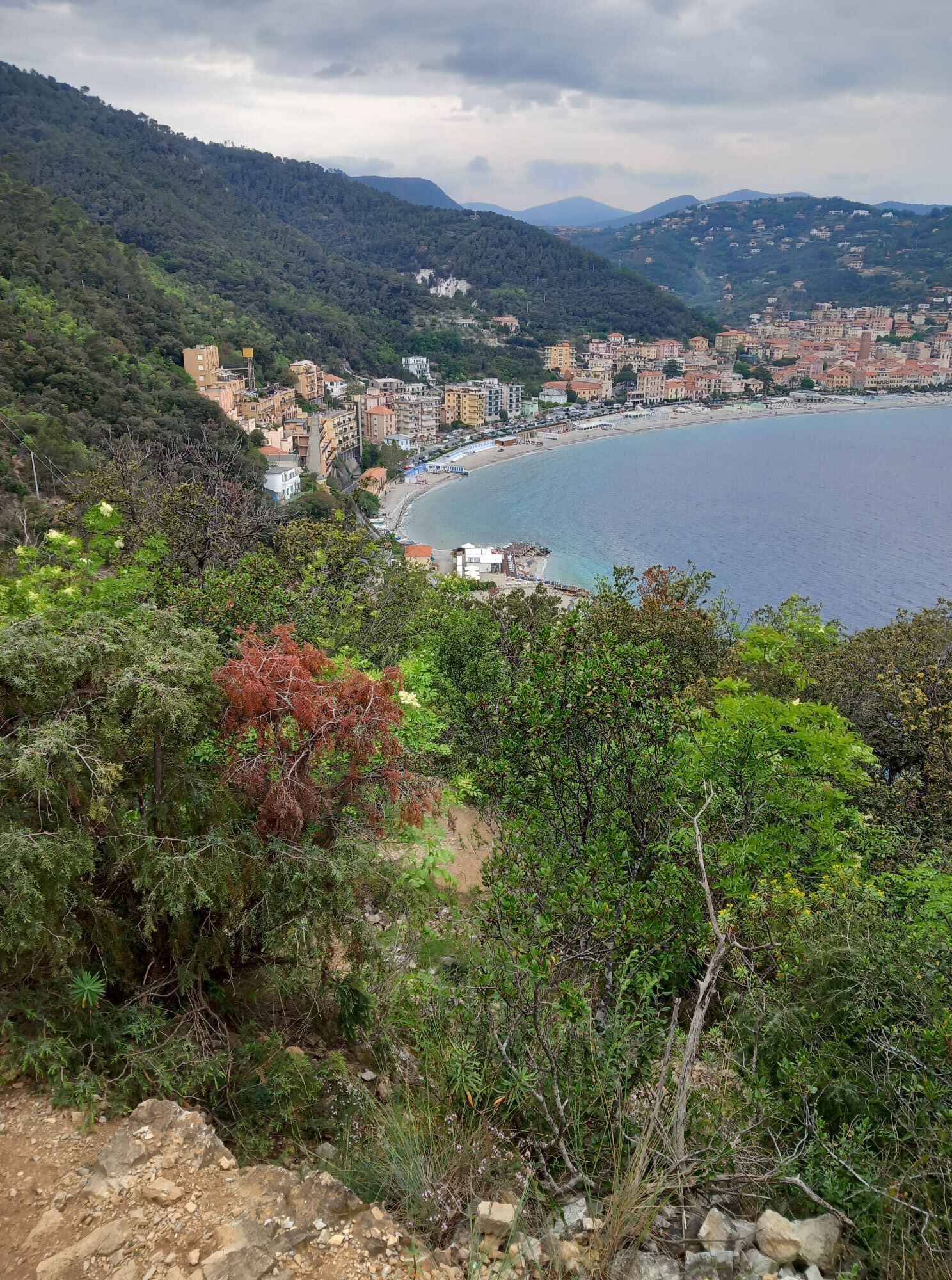
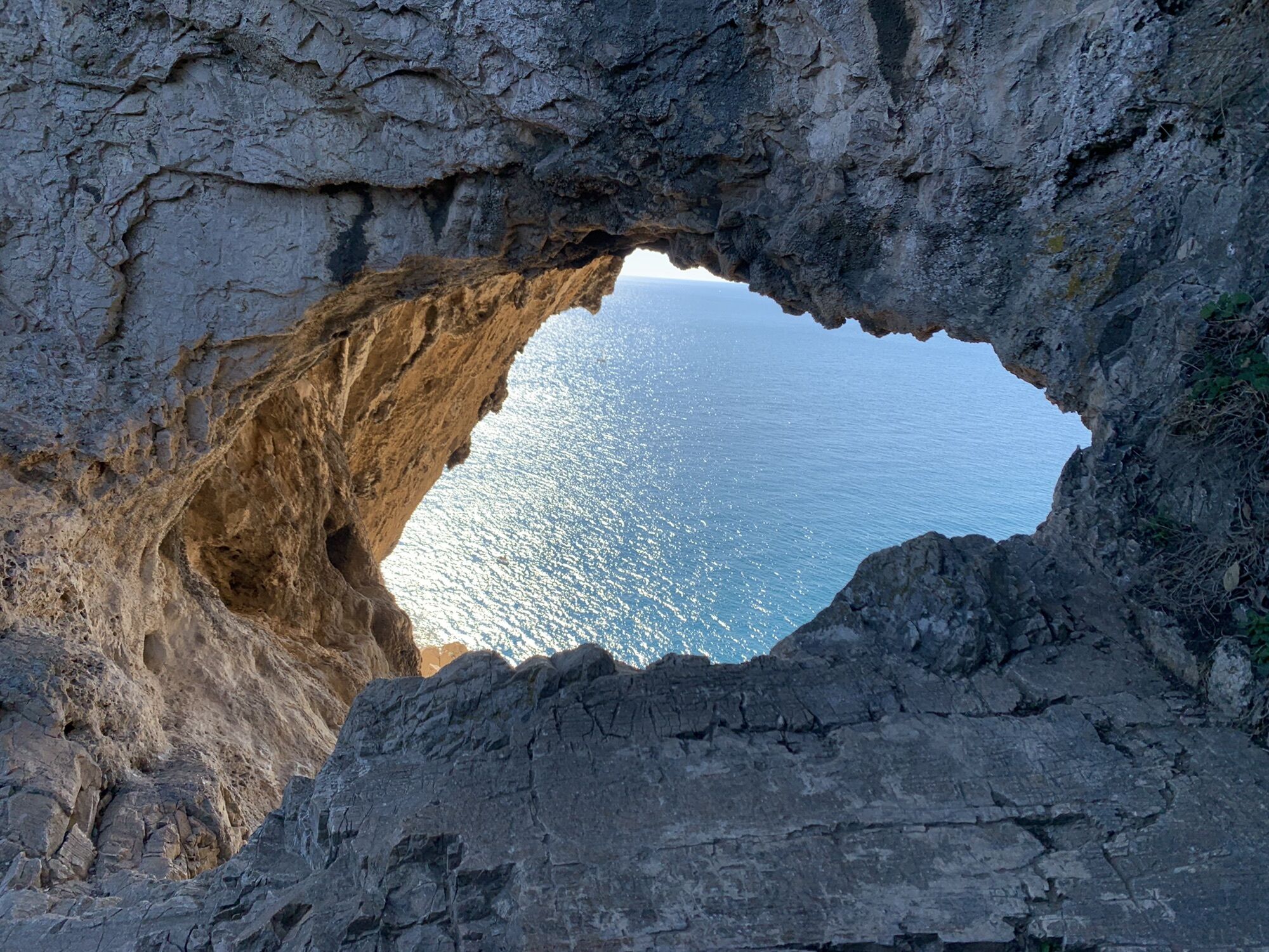
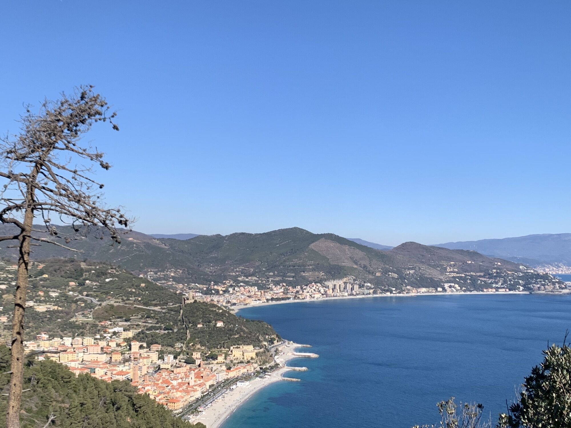
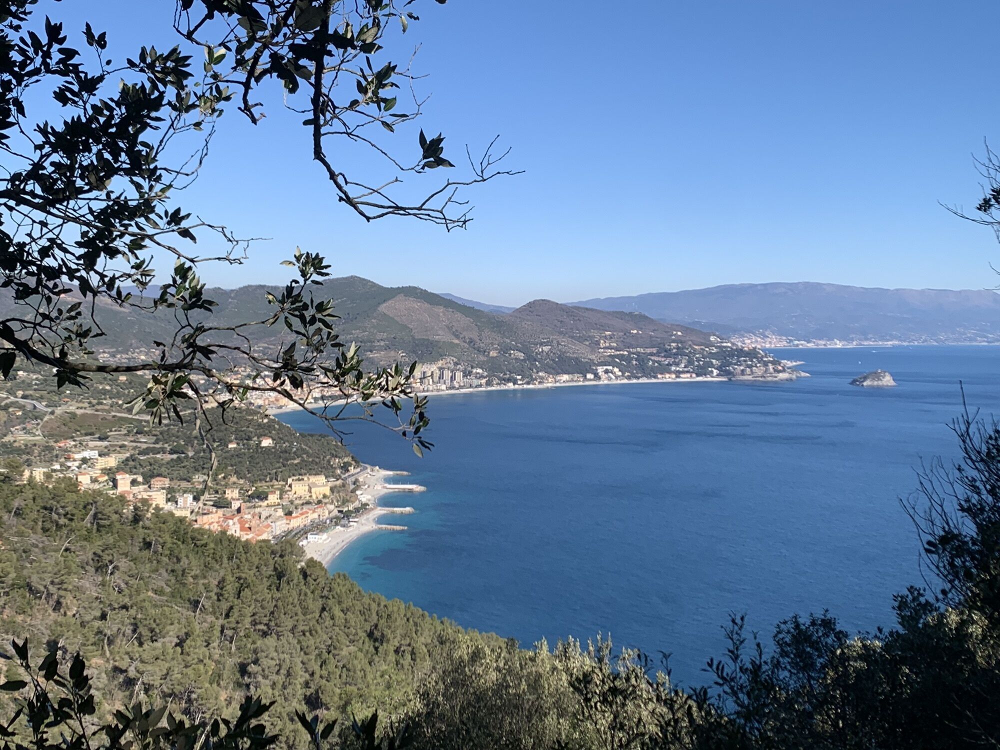
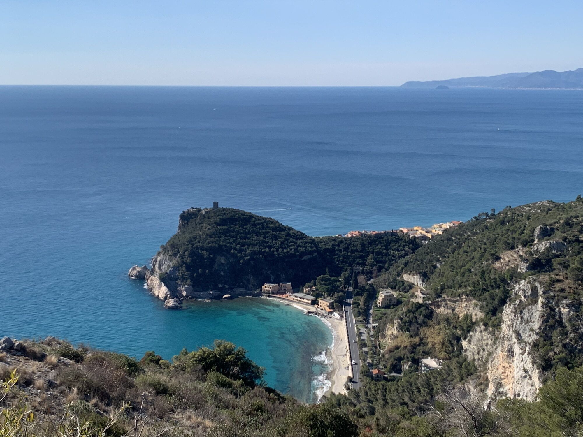
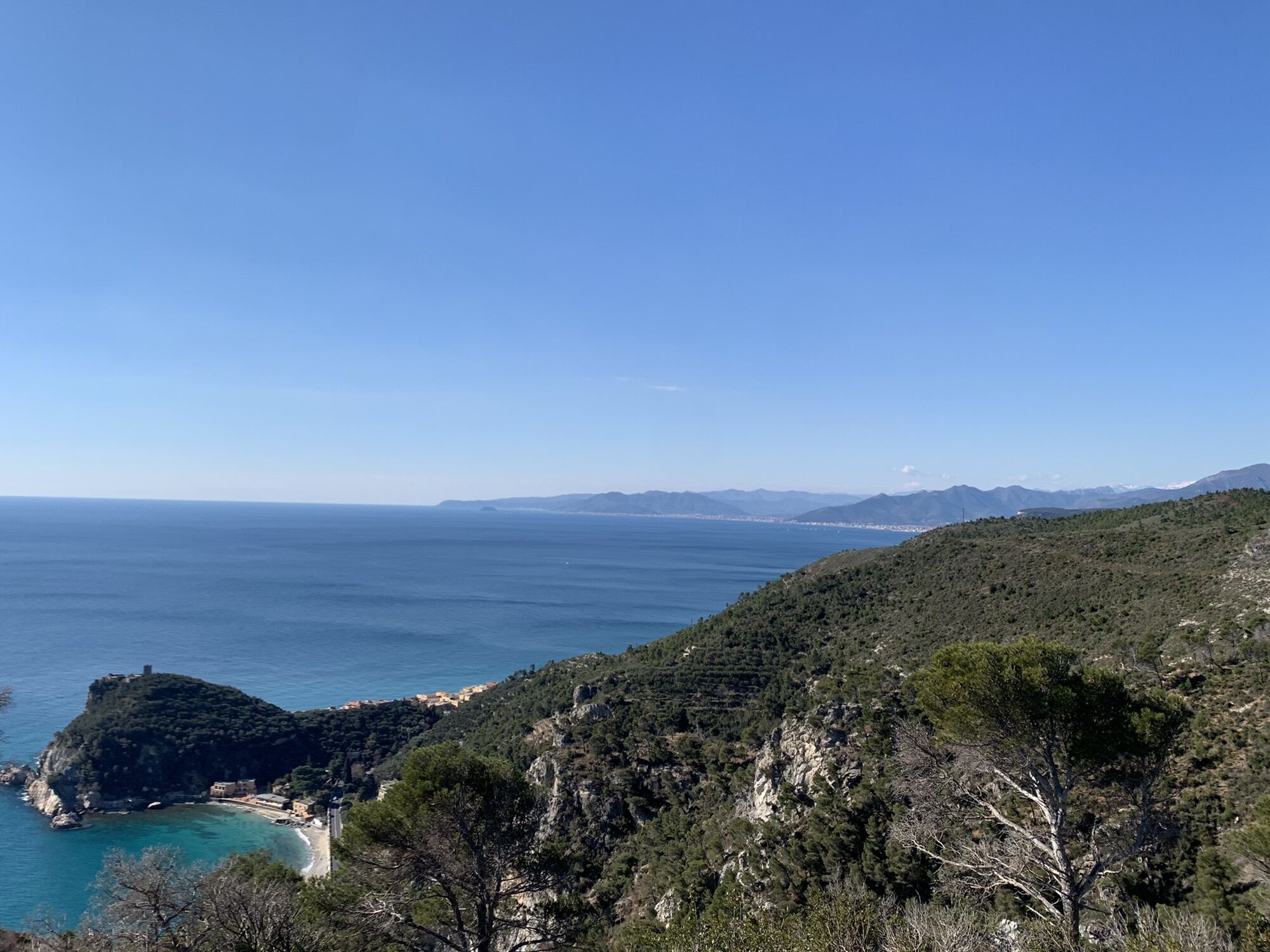
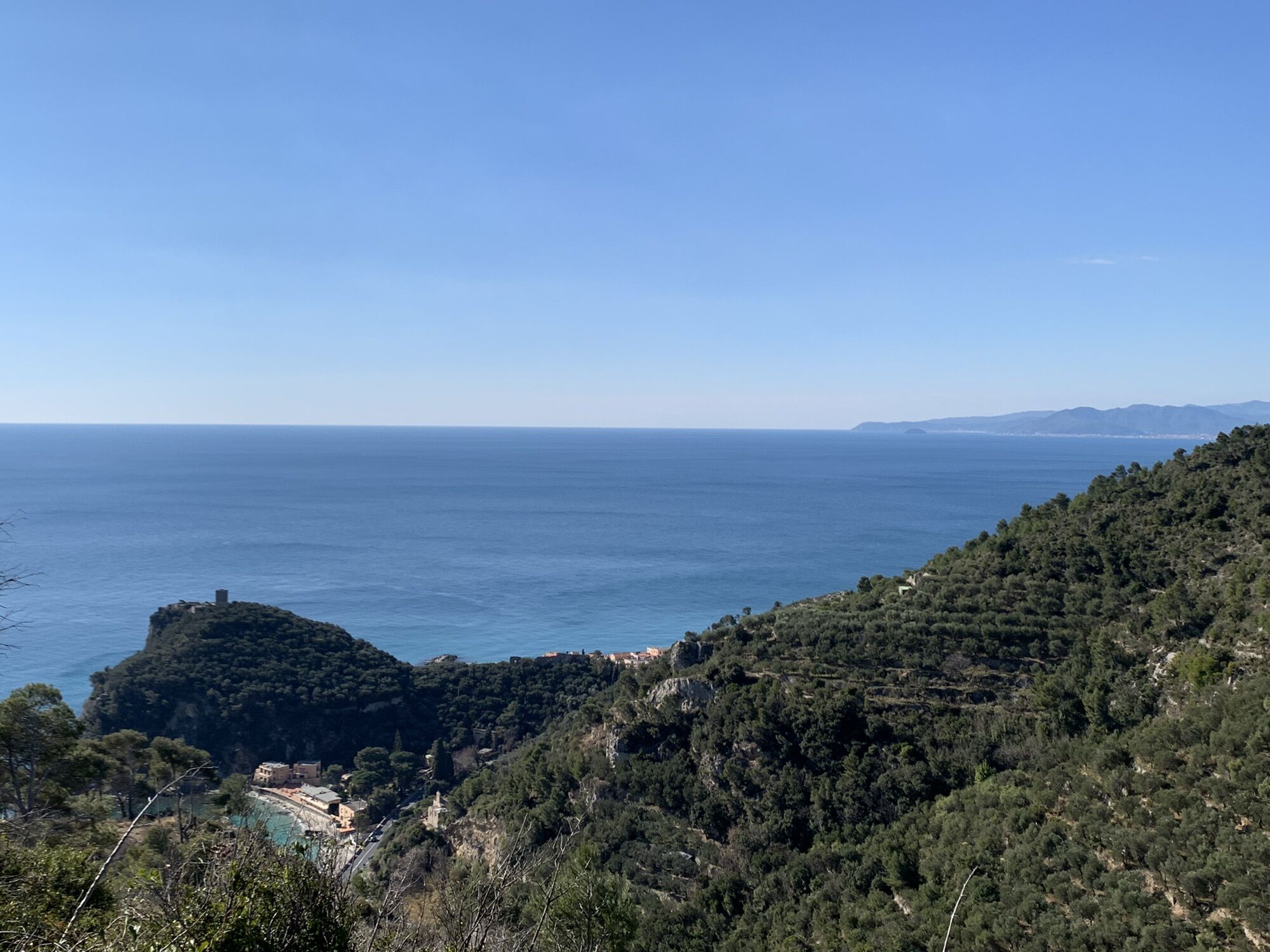
at the end of Via degli Orti, go up to the left along a mule track (trail marker: X red). A short path to the right leads at the Medieval Church of San Lorenzo. Go back in the main path (further an other short deviation lead to the tower “Torre delle Streghe”) and continue as far as the dirt road coming from Le Manie (trail marker: a blocked red circle). Follow it to the right as far as Monte di Capo Noli (wonderful view). To reach the “Caverna dei Falsari”, follow a stretch of the dirt road going down to Noli (trail marker: yelloy 1), thence follow to the right a footpath (signpost) in the rocky ground as far as the Caverna dei Falsari. It is a big cave overlooking the sea. In the bottom of the cave there are some roman dry-stone walls. In the middle there is a small basin in the rock to receive rainwater from the overhanging slopes. It's also possible to see the cave from Via Aurelia (from the Caverna dei Falsari it is possible to reach the via Aurelia not far from the Capo Noli tunnel, but it isn't recommended because the road is without the pavement). From the Caverna go back as far as the dirt road. Follow it to the right as far as Noli. From Noli you can go back to Varigotti with the public bus (autolinee TPL; www.tpllinea.it).

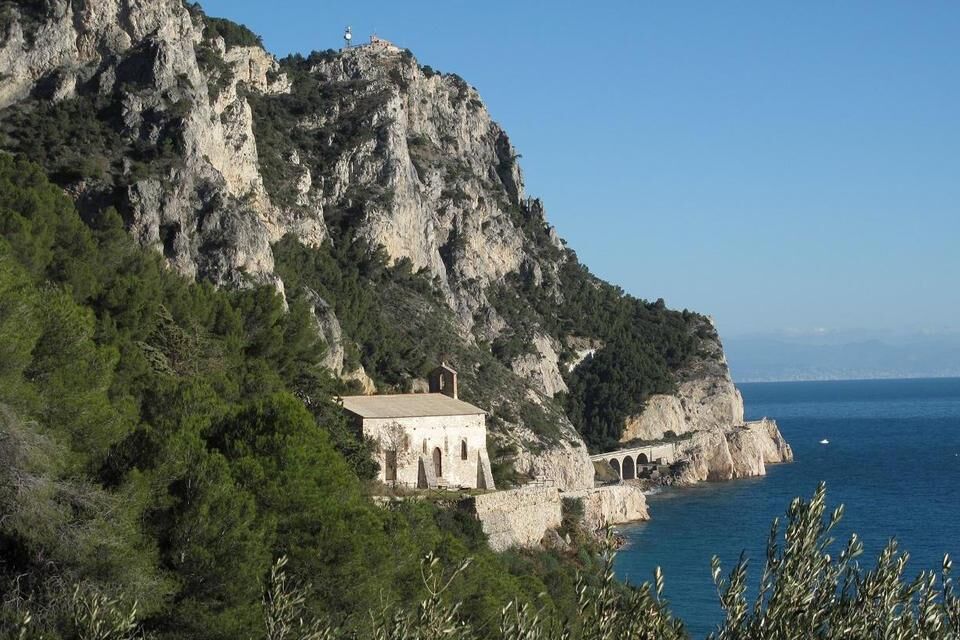
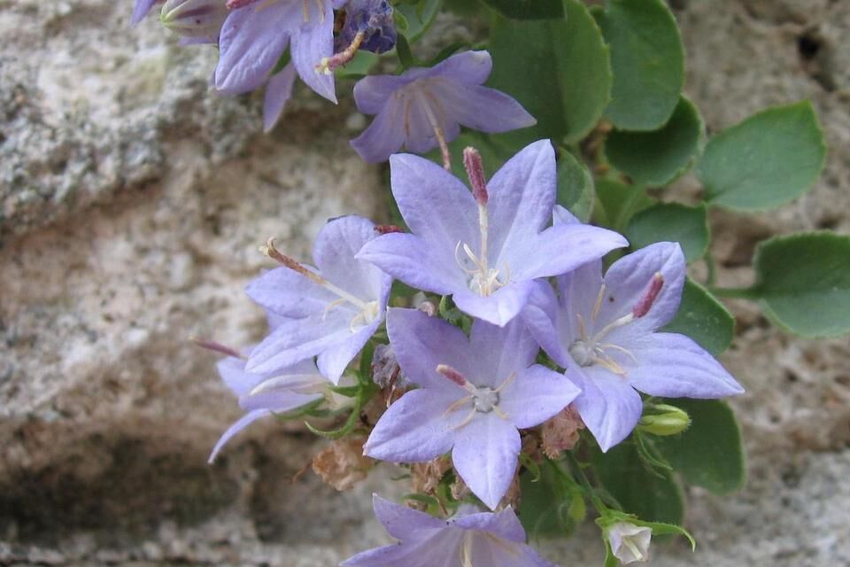

from Savona to Varigotti (autolinee TPL; www.tpllinea.it).
from Finale Ligure motorway exit (A10 Genova-Ventimiglia) reach the via Aurelia, turn left and drive as far as Varigotti. Park in via degli Orti, upstream the historical centre.
Nature and Landscape * * * * * * Family * * * * Gourmet * * * Culture * * * *

 Získejte přehled Vždy živě na místě s více než 9 500 webkamerami. bergfex Jako uživatel Pro si nyní můžete zobrazit odpovídající webové kamery pro mnoho prohlídek v aplikaci prohlídky z. Můžete si tak přímo prohlédnout aktuální podmínky.

Oblíbené prohlídky v okolí
Rocche Bianche e Monte Mao (Finale Ligure)
středníMountainbike 37.0 km- 4.0
Finale Enduro 2008
středníMountainbike 38.2 km - 5.0
Il Paradiso di Manù - Noli - Monte Capo Noli - Varigotti
středníTuristika 10.1 km Leg 19 from Noli to Finalborgo
Turistika 18.9 km- 5.0
Colla San Giacomo E-bike Tour
středníJízda na kole 30.3 km Manìe Mània
heavyMountainbike 26.9 kmCravarezza
heavyMountainbike 46.0 kmEWS Rock and Roll
středníMountainbike 31.8 km- 4.0
SV_04 Roviasca - Colle del Termine - Colle Baraccone
Turistika 11.3 km SV_12 San Cipriano – Camporotondo – Lacremà
Turistika 5 km
Pěší turistika a stopování


Nenechte si ujít nabídky a inspiraci pro vaši příští dovolenou
Vaše e-mailová adresa byl přidán do poštovního seznamu.





