






Trail no. 17: Colle di Cadibona - Le Mugge
Here, you walk for a good distance along a paved road with little traffic. The watershed on this stretch is of no particularly significant shape, but offers a series of rolling hills and open views. There...
Here, you walk for a good distance along a paved road with little traffic. The watershed on this stretch is of no particularly significant shape, but offers a series of rolling hills and open views. There is a variant of the path of this stage (the old trail n ° 24), which comes from Ferrania to buttress the south of the Bric del Tesoro, passing through the picturesque Adelasia forest.

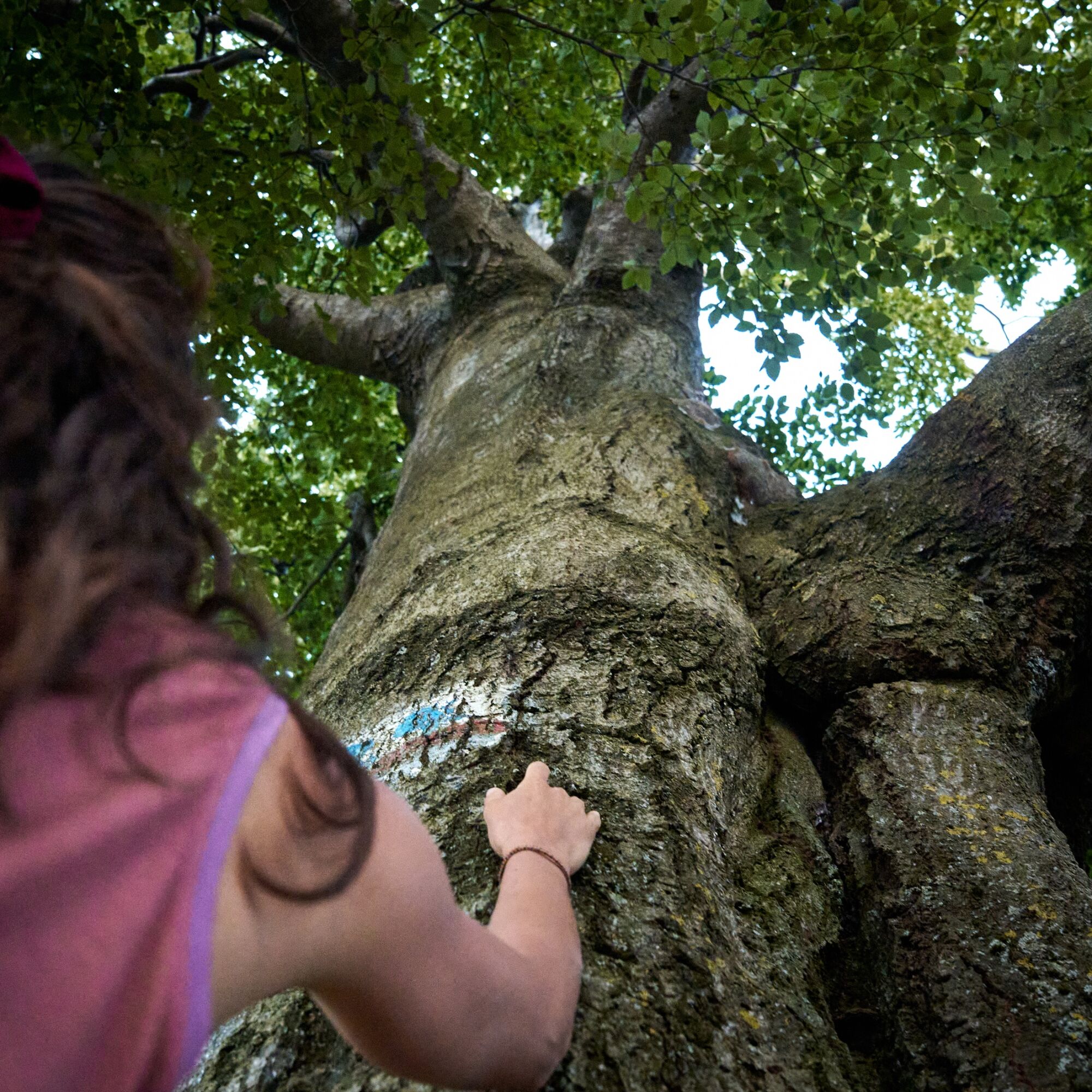
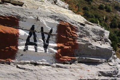

Mountain equipment is recommended.
It is recommended to refuel with water and food before departure.
There are no rest stops or accommodations along the route.
The Alta Via passes on the borders of the Adelasia Nature Reserve, characterized by beautiful forests of beech, chestnut and oak trees, populated by numerous deer. The reserve takes its name from the Adelasia Rock, a giant boulder of ophiolite rock that emerges from the woods in the upper valley of the Rio Ferranietta. Several paths have been laid out in the reserve that allow for interesting loop trails.In these places, in April 1796, Napoleon fought and won the memorable Battle of Montenotte against the Austrians.
Oblíbené prohlídky v okolí
Cinghialtracks (Ferrania)
středníMountainbike 30.2 km- 5.0
Colla San Giacomo E-bike Tour
středníJízda na kole 30.3 km - 3.0
SV_02 Ring path of Foresta Deiva
Turistika 12.0 km Cravarezza
heavyMountainbike 46.0 kmBeigua 2 Varazze Sassello (Varazze)
heavyMountainbike 68.2 kmItinerary of the country churches and gullies in the Bormida Valley of Spigno and Erro - Stage 3: Miogliola - Spigno Monferrato
světloCyklistika na velkou vzdálenost 21.9 kmAll Collina Tour
heavyMountainbike 40.4 km- 4.0
SV_04 Roviasca - Colle del Termine - Colle Baraccone
Turistika 11.3 km Forests and the sea
středníElektrokola 43.6 kmSV_03 Ring path of Adelasia
Turistika 6.10 km

Pěší turistika a stopování


Nenechte si ujít nabídky a inspiraci pro vaši příští dovolenou
Vaše e-mailová adresa byl přidán do poštovního seznamu.





