






Itinerary of the country churches and gullies in the Bormida Valley of Spigno and Erro - Stage 3: Miogliola - Spigno Monferrato
Having gone up from the Erro Valley, you follow the road that runs along the ridge and from Località Monteacuto arrives in Località Brovi, a panoramic point with a view of the Ligurian Apennines where...
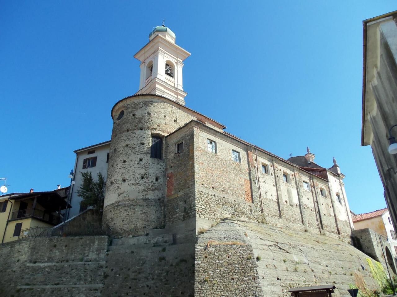
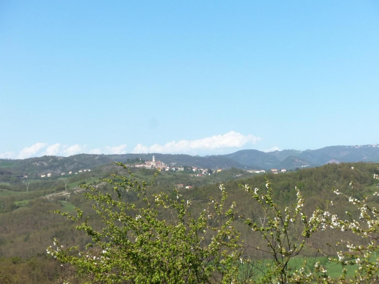
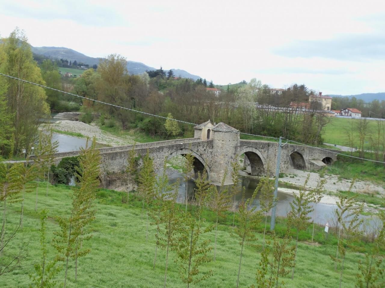
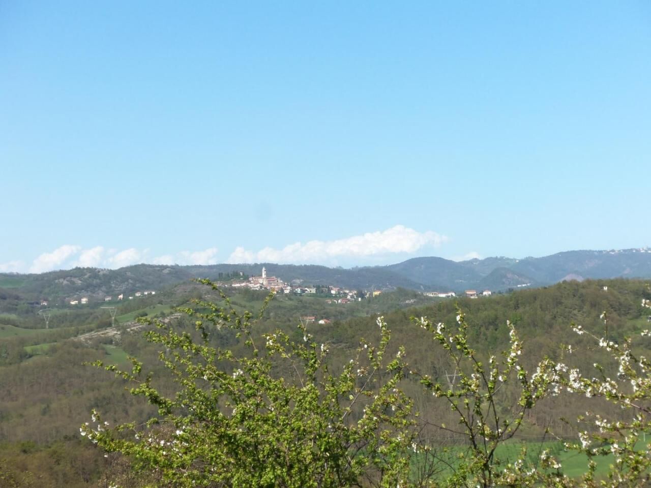
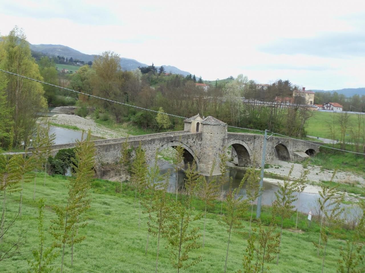
Having gone up from the Erro Valley, you follow the road that runs along the ridge and from Località Monteacuto arrives in Località Brovi, a panoramic point with a view of the Ligurian Apennines where there is an equipped rest area, continuing on the left you proceed towards Miogliola (Fraction of Pareto) , with the possibility of arriving via the deviation for Sassello up to the Alta Via dei Monti Liguri or reaching the equipped rest area created around the country church of San Lorenzo Martire, along the S.P. which connects Pareto to Mioglia and Sassello. Turning right in Località Brovi, continue along the itinerary, descending through the gullies until you reach Roboaro (fraction of Pareto), continuing left, along a short stretch of the S.P. for Malvicino, you go alongside an ancient well and arrive at the Church of San Rocco, overlooking the village square. After crossing the town center and traveling for a stretch on the S.P. for Pareto, turn right and, going up through the fields, you reach Località Giuliani, with the country chapel of San Giuliano in the centre, turn left, from the churchyard you go down along the ancient S.C. which crosses meadows and fields, with a splendid view of the Pareto concentric area with the Ligurian Alps in the background, continue on the new asphalted stretch and proceed left to the equipped rest area (Porta di Valle di Pareto) adjacent to the rural church of Blessed Virgin, called Madonna del Romitolo, and to the S.P. for Mioglia (SV), with the bus station for Savona and the connection to Path 585 - Anello di Pareto with a short detour to the right you go up to the concentric one, with the Oratory of Nostra Signora Assunta in Cielo overlooking the Piazza C. Battisti and the country chapel of Santa Rosalia along Via Marconi and, past the ancient Porta dei Borreani (trace of the medieval city walls), to the historic center, perched around the Parish Church of San Pietro Apostolo and the Aleramico Castle. Turning left instead along Path 585, you follow a stretch of S.P. up to the country chapel of San Lorenzo and Località Martini, where you turn right and, after passing along the S.C. for Squaneto the Monument to the partisans fallen during the Second World War, turn left, to go down an old dirt road that faces the Woods of Monte Orsaro, past the Prato dei Grilli, continue downhill until you turn left again onto the S.C. for Squaneto. Turning left again, you cross the ford on the Valla stream, after which you go up along the S.C. up to Squaneto (fraction of Spigno Monferrato) past the village with the Church of S. Anna (which houses a valuable marble statue of the Madonna of the Genoese school), go up the S.C. for Piana Crixia (SV) up to the Case Soprane, where you turn left, to climb the hill which offers a panoramic view of the Monte Orsaro Woods and the Ligurian Apennines. Once around the hill, you can divert onto the S.C. towards Piana C., to reach the Bormida Natura 1 path (which leads to the Alta Via dei Monti Liguri), or cross the asphalt road to enter the ancient road called Strada della Langa, trace of an ancient Via Franca (or Via of salt) once you have arrived on the asphalted municipal road for Località Lovesi, turn right and, having arrived at the country chapel of the Madonna della Langa, built on the crossroads between Località Val San Ry and Località Lovesi, continue left and you can enjoy a panoramic view on the hills and surrounding villages, up to Ponzone. Proceeding left again on the gullies, then right and left again, to follow the route of the ancient Strada della Langa, you arrive at Montaldo (Fraction of Spigno M.) having arrived at the village, where a rest area has been placed equipped from which you can enjoy a wide panoramic view of the Bormida Valley, dominated by the Tower of Merana, and the Ligurian Alps, turn right and pass the Church of San Carlo Borromeo and the Oratory of the Santissima Annunziata, you go up to the Chapel of San Carlo, and going up again to the right along a short detour from which you can admire the Ligurian Alps and the towers that overlook the Bormida Valley, you reach the top of Bricco della Calma (516 m), continuing straight along the ancient S.C. (hence called Via Piana), you go down to the current S.C. and, turning right, you arrive in Località La Cucca. Both from the Montaldo area (from the S.C. towards Spigno M., turning left and then left again, just beyond Località Mozzoni) and from Località La Cucca (on the same S.C., turning right and then right again, past Villa Tassara ), you can reach it by taking a right towards S.C. for Merana in Località Blenci and crossing the Piana di Montaldo and the bridge over the Bormida di Spigno, on Path 575 - Ring of Merana. Continuing instead on the left from Località La Cucca, you can enjoy, passing on a narrow ridge on the left, a broad view of the Bormida River and on the right of the Spigno Dam reservoir, created in the bed of the Valla Torrent, from there you descend until cross the S.P. (Alessandria - Acqui Terme - Savona), to enter the Spigno Monferrato Concentric. You can then visit the historic centre, perched on a rocky spur that stands between the Valley and the Bormida, with the Parish Church of Sant'Ambrogio, the Oratory of the Santissima Annunziata (with 17th century frescoes) and the remains of the Castle of the Marquises Del Carretto, destroyed by the Spanish in the second half of the seventeenth century. A detour to the route from the Spigno concentric, continuing straight to the top of Viale Barosio and passing the stretch where the S.C. for Mombaldone (AT) it proceeds between two vertical walls (carved into the sandstone that forms the hill), allows you to go down to the Romanesque bridge of San Rocco and cross the Spigno Plain up to the Abbey of San Quintino, founded in 991 by Anselmo del Monferrato, son of the Marquis Aleramo.


Ano
Oblíbené prohlídky v okolí
-
Cinghialtracks (Ferrania)
středníMountainbike 30.2 km -
Sentiero "Giro delle 5 Torri" - Sentiero 5T in mountain bike
Mountainbike 29.4 km -
3.0
SV_02 Ring path of Foresta Deiva
Turistika 12.0 km -
Rundweg Montechiaro - Weg 573 mit dem Mountainbike
Mountainbike 30.9 km -
Sentiero anello di Cimaferle - Sentiero 534 in camminata
Poutní stezka 8.13 km -
Sentiero Cartosio - Ponzone - Sentiero 569 in camminata
Poutní stezka 6.83 km -
Sentiero anello di Cimaferle - Sentiero 534 in mountain bike
Mountainbike 8.13 km -
Sentiero anello di Merana - Sentiero 575 in camminata
Poutní stezka 10.5 km -
Rundwanderweg Montechiaro - Weg 573 zum Wandern
Poutní stezka 30.8 km -
Sentiero delle Chiese Campestri - Sentiero 571 in camminata
Poutní stezka 21.5 km
Pěší turistika a stopování


Nenechte si ujít nabídky a inspiraci pro vaši příští dovolenou
Vaše e-mailová adresa byl přidán do poštovního seznamu.





