




UKK trail in the Sallatunturi area, Salla
The UKK trail crossing the Sallatunturi tourism area stretches from the ancient pines of Aikkipetis to the mysterious sinkholes of Aatsingin. The route can be traveled in parts as day trips or as a multi-day...
The UKK trail crossing the Sallatunturi tourism area stretches from the ancient pines of Aikkipetis to the mysterious sinkholes of Aatsingin. The route can be traveled in parts as day trips or as a multi-day hike. Have you visited Pahakuru or Kylmähette to see if these places are as their names suggest? Or checked the reflective surrounding fell scenery from Tunturilammi on a calm day?
Notes:
- The trail's difficulty rating is medium to challenging
- The trail is marked with orange trail markers
- The route crosses ditches and water bodies, from which water for boiling can be sourced
- Pay attention to intersecting trail areas
- Services of Salla's Reindeer Park are available near the trail

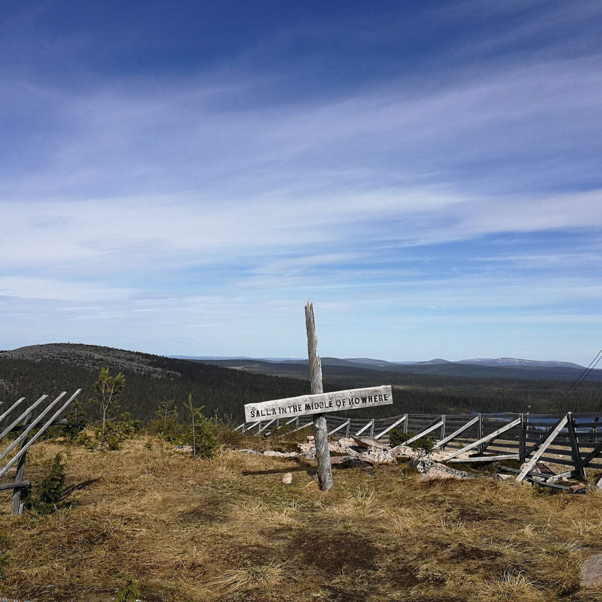
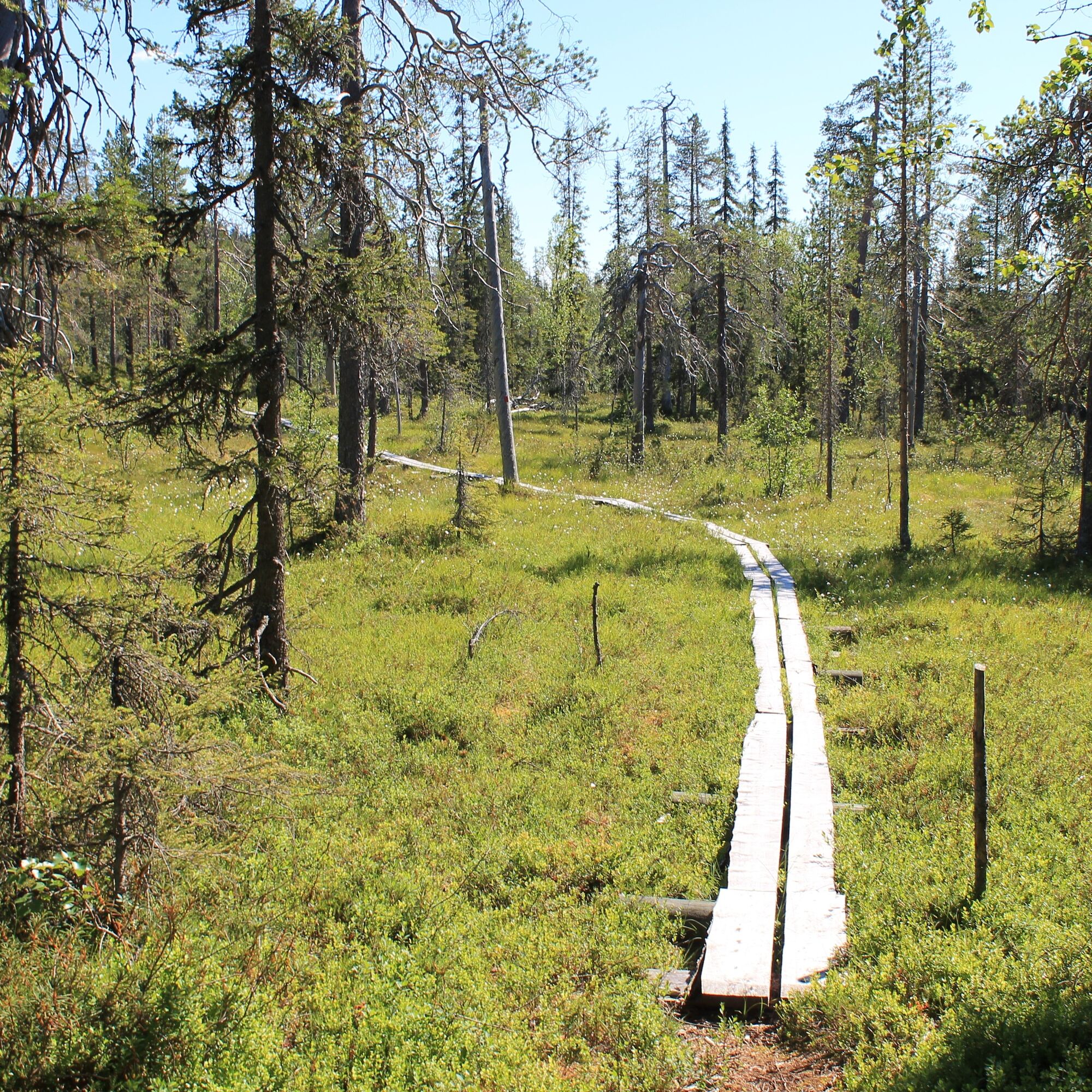
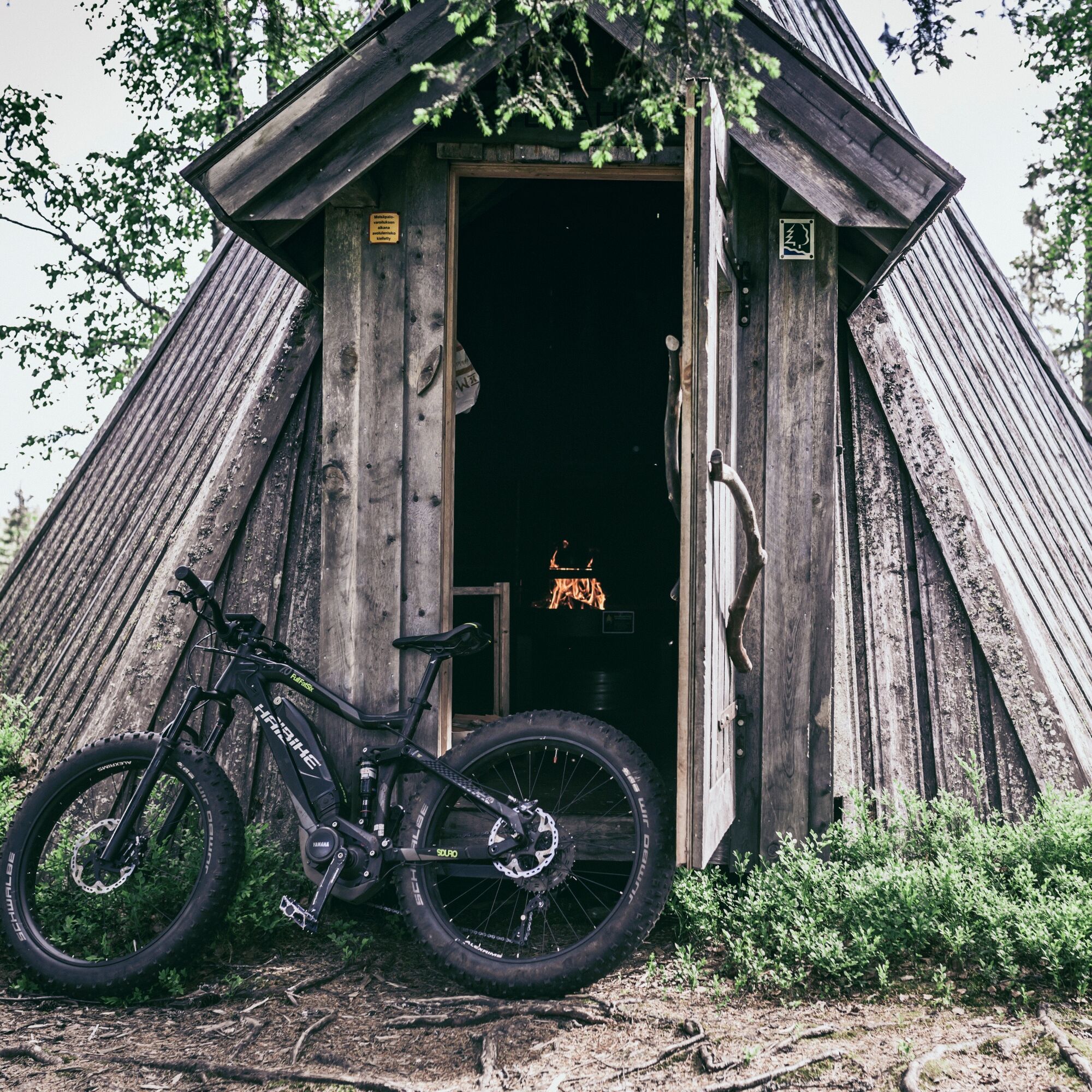

Trail service facilities: The path is marked with orange trail markers (red squares). There are lean-tos at Kolmiloukkosenlampi, Tunturilammi, and Koutalampi as well as a campfire site in Pahakuru and huts at Siskeli, Kylmähette, and Pitkälampi and a day lodge in Aikkipetis. Along the route, there are several ditch crossings where water can be obtained and several ponds suitable for boiling water.
Trail conditions, their associated risks, and equipment: The path is narrow and uneven in places. The wettest spots have boardwalks. In some places, boardwalks are missing or broken. Approaching Koutalampi, the path is in many places almost overgrown, and trail markings are poorly visible. The most recommended footwear in summer is waterproof high hiking boots or rubber boots.
Description of natural environment: The end of Aikkipetis includes a wilder section, and the middle part towards Poropuisto consists mostly of managed forest, along with some small swamp areas and marsh ponds. The area around Kylmähette is wilder. Pahakuru has dry majestic pine woods. After Pitkälampi, there is a swamp area, and before Koutalampi, there are leafy ditch woods.
Description of cultural environment: Near the day lodge at Aikkipetis stands a magnificent young pine forest. Wilderness swamp and fell scenery.
Ano
- Waterproof high hiking boots or rubber boots.
- Choose the route considering your fitness, skills, and conditions.
- Follow signs and markings.
- Always carry a map and phone. You can also download Salla trails to your phone via the Citynomadi app (preloaded maps work even in areas without internet connection).
- Download the 112 app to your phone for possible emergencies. You have a duty to stop and help if you notice someone needs assistance.
You can access the trail from Sallatunturi Tourist Center. The trail can also be accessed from the Aikkipetis area. From Salla, drive about 20 km towards Kuusamo. Turn right near Kallunkijärvi and drive about 7 km on a gravel road. Trail signs are on the roadside.
Nearest railway station in Kemijärvi (1 hour). Night train connection to Salla by bus.
Nearest airports Kuusamo (1.5 hours) and Rovaniemi (2 hours).
Always check bus availability and schedules on the Matkahuolto website.
Free parking at the starting area.
Remember the rule of pack-in-pack-out; everything taken into nature must also be carried out. Hikers must not leave any traces in nature.
Oblíbené prohlídky v okolí
-
Sky-Seeker's Path, Salla
středníTuristika 4.63 km -
Sky Seeker's Trail, snowshoeing, Salla
Sněžnice 4.50 km -
Topsakantaival (UKK route Hautajärvi - Sallatunturi), Salla
heavyTuristika 44.5 km -
Kolmiloukkonen loop, Salla
Turistika 3.72 km -
Kaunisharju winter walking route, Salla
Zimní turistika 2.78 km -
Ruuhitunturi circuit, Salla
heavyTuristika 13.7 km -
Kaunisharju route, Salla
Turistika 11.0 km -
Winter walking route to Ruuhitunturi, Salla
Zimní turistika 13.1 km -
Kaunisharju route, mountain biking, Salla
Mountainbike 11.3 km -
From the fell to the church and back route, Salla
Turistika 8.97 km
Pěší turistika a stopování


Nenechte si ujít nabídky a inspiraci pro vaši příští dovolenou
Vaše e-mailová adresa byl přidán do poštovního seznamu.





