


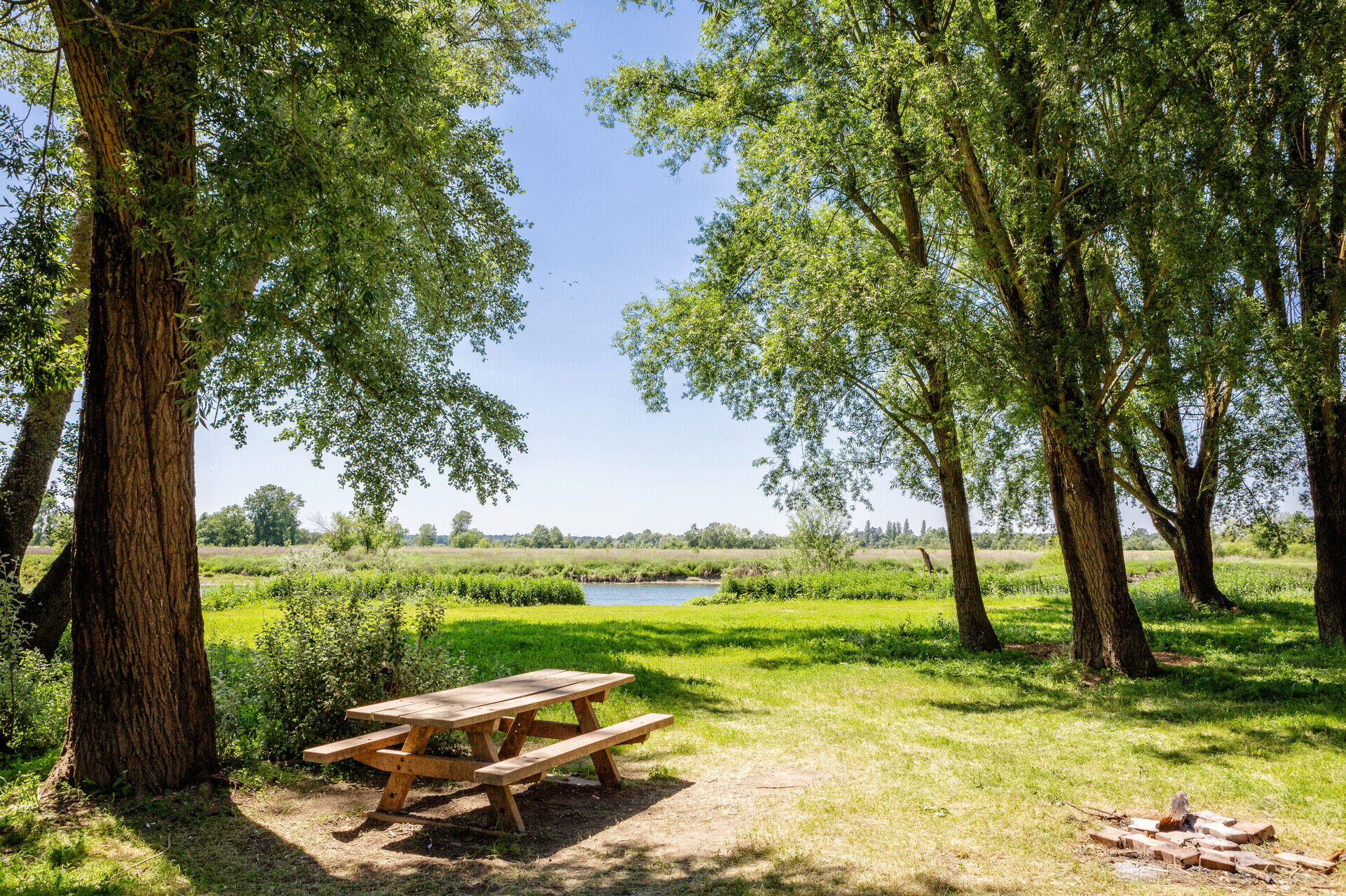
Alluvial meadows
Úroveň obtížnosti: T1
Tourist attractions :
- The educational marsh to discover the plants of the Basses vallées angevines.
- The educational huts on the banks of the Sarthe to discover two models of hut designed for duck hunting.
Starting...
- The educational marsh to discover the plants of the Basses vallées angevines.
- The educational huts on the banks of the Sarthe to discover two models of hut designed for duck hunting.
Starting point :
- Caravan park, chemin du Patis Colas, Briollay
Practical information:
- Trail not passable during periods of flooding.
Route marked in mauve

Angers and its surroundings, rich in confluence landscapes, are sometimes subject to flood risks throughout the year. Some paths may be temporarily impassable, stay vigilant.
In case of emergency, dial 112.
Consider carpooling.
Parking near the starting point.
T1
Be vigilant, especially when crossing or walking alongside roads, but also at all times in nature. It can sometimes present dangerous passages, flooded areas, steep sites, or slippery paths.
Follow marked paths to avoid getting lost and to limit soil and natural habitat erosion. Pay attention to markings and if in doubt, do not hesitate to turn back.
Do not pick protected species and remain discreet to avoid disturbing wildlife.
Some trails are used by cyclists, be cautious.
This route and its associated GPX track must under no circumstances be shared without mentioning Destination Angers.
Oblíbené prohlídky v okolí
-
Lake, pond and tributary
světloTuristika 18.5 km -
Mayenne loop
světloJízda na kole 25.5 km -
The Loir Valley by bike - from Rives-du-Loir-en-Anjou to Angers
světloJízda na kole 32.0 km -
Banks of the Loir circuit
světloTuristika 8.87 km -
The Sarthe towpath and sandpits
světloTuristika 8.05 km -
From Plessis-Bourré to the Lower Anjou Valleys
heavyTuristika 27.5 km -
The Mayenne river and meadows in the low valleys of Angers
světloTuristika 17.4 km -
Marcillé plateau to the towpath
světloTuristika 13.8 km -
The slate route
heavyTuristika 24.2 km -
La Vélo Francette - from Longuenée-en-Anjou to Loire Authion
středníJízda na kole 55.8 km
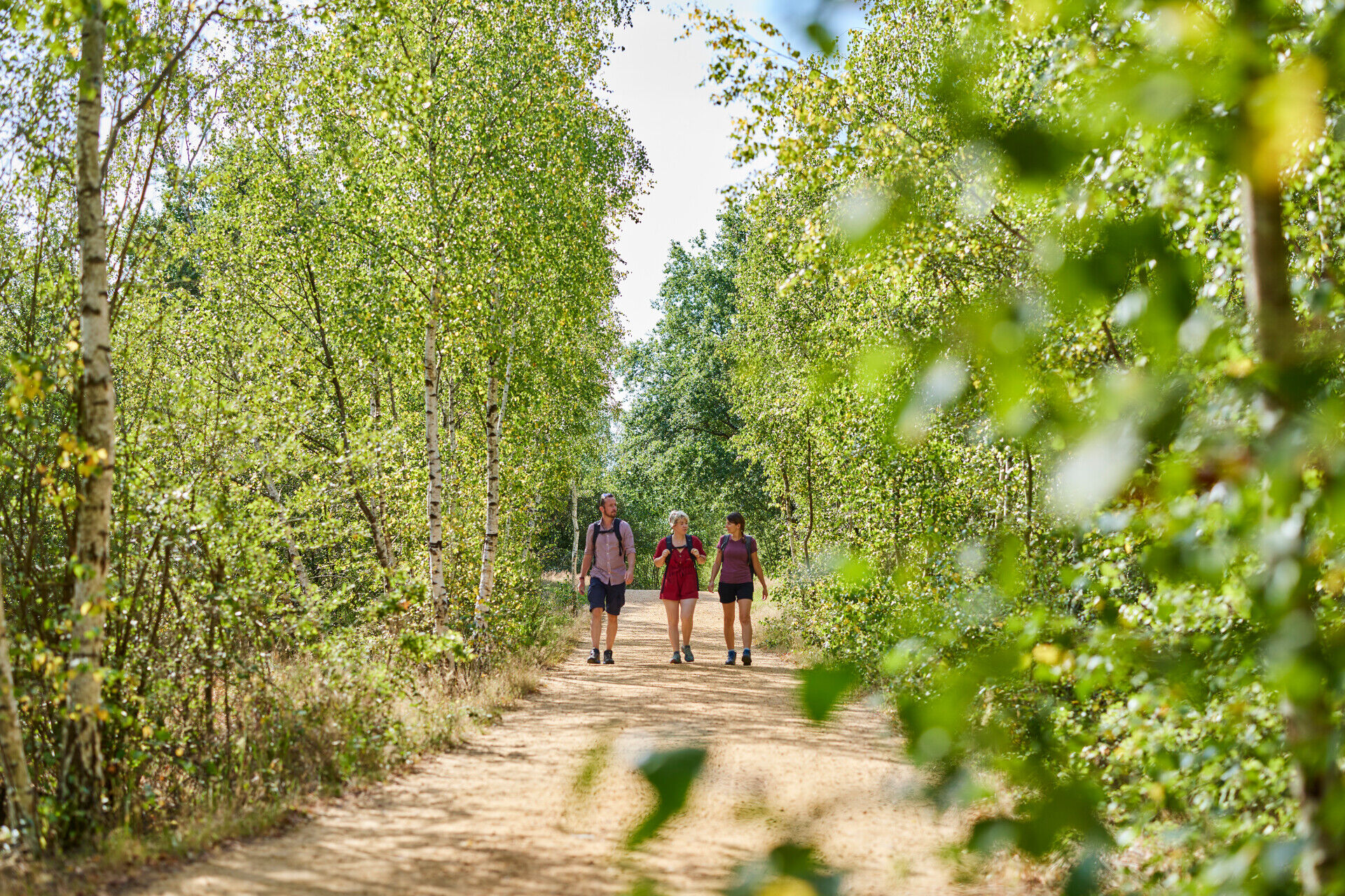
Pěší turistika a stopování


Nenechte si ujít nabídky a inspiraci pro vaši příští dovolenou
Vaše e-mailová adresa byl přidán do poštovního seznamu.