







The slate route

Úroveň obtížnosti: T1
Tourist attractions :
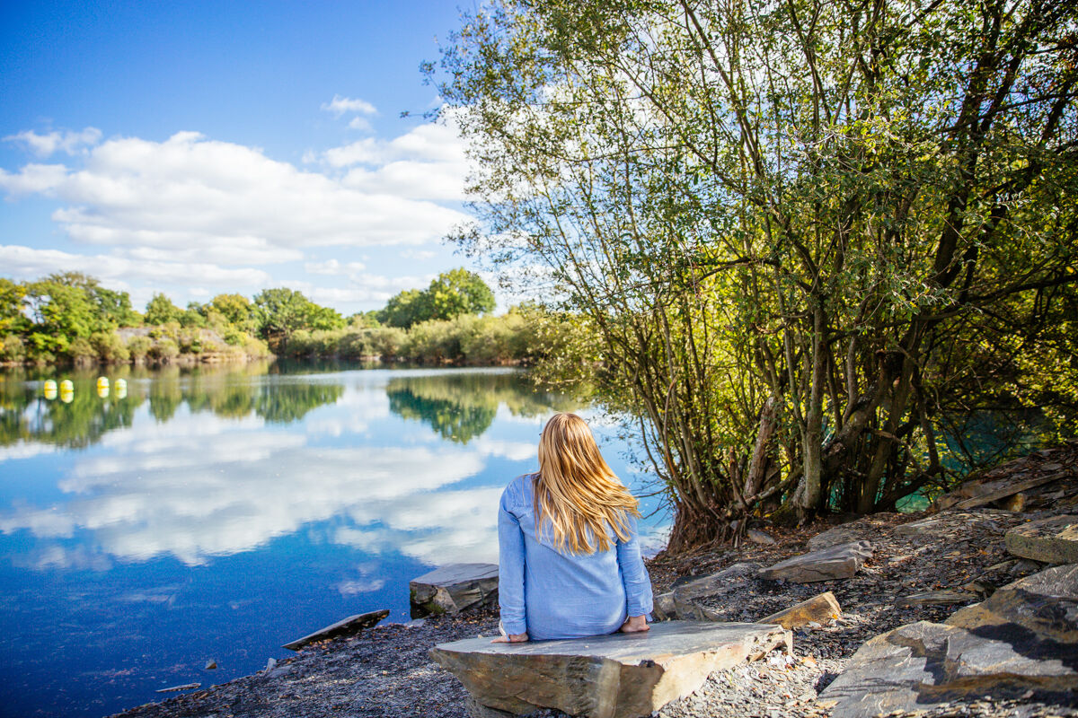
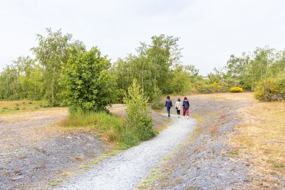
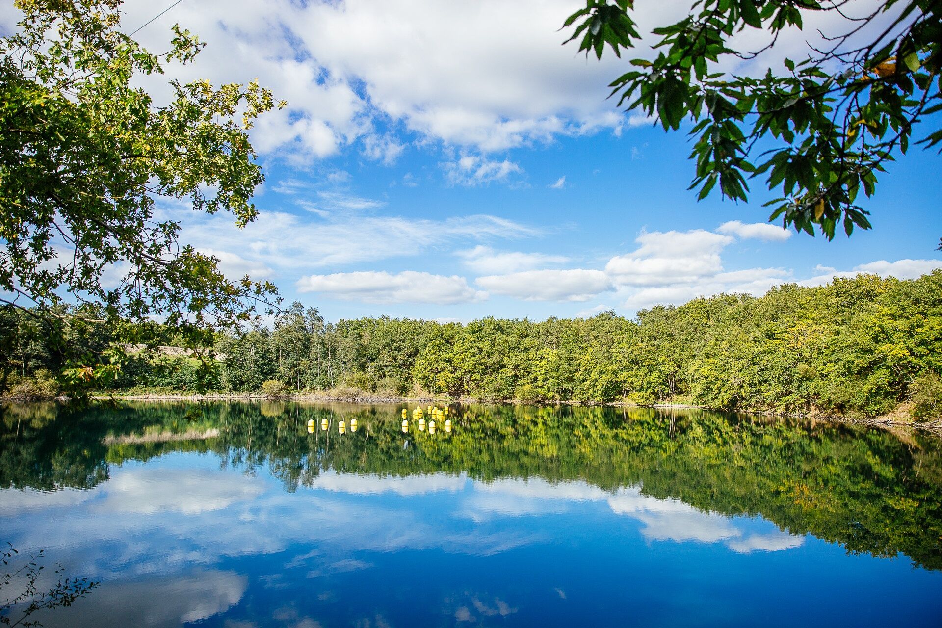
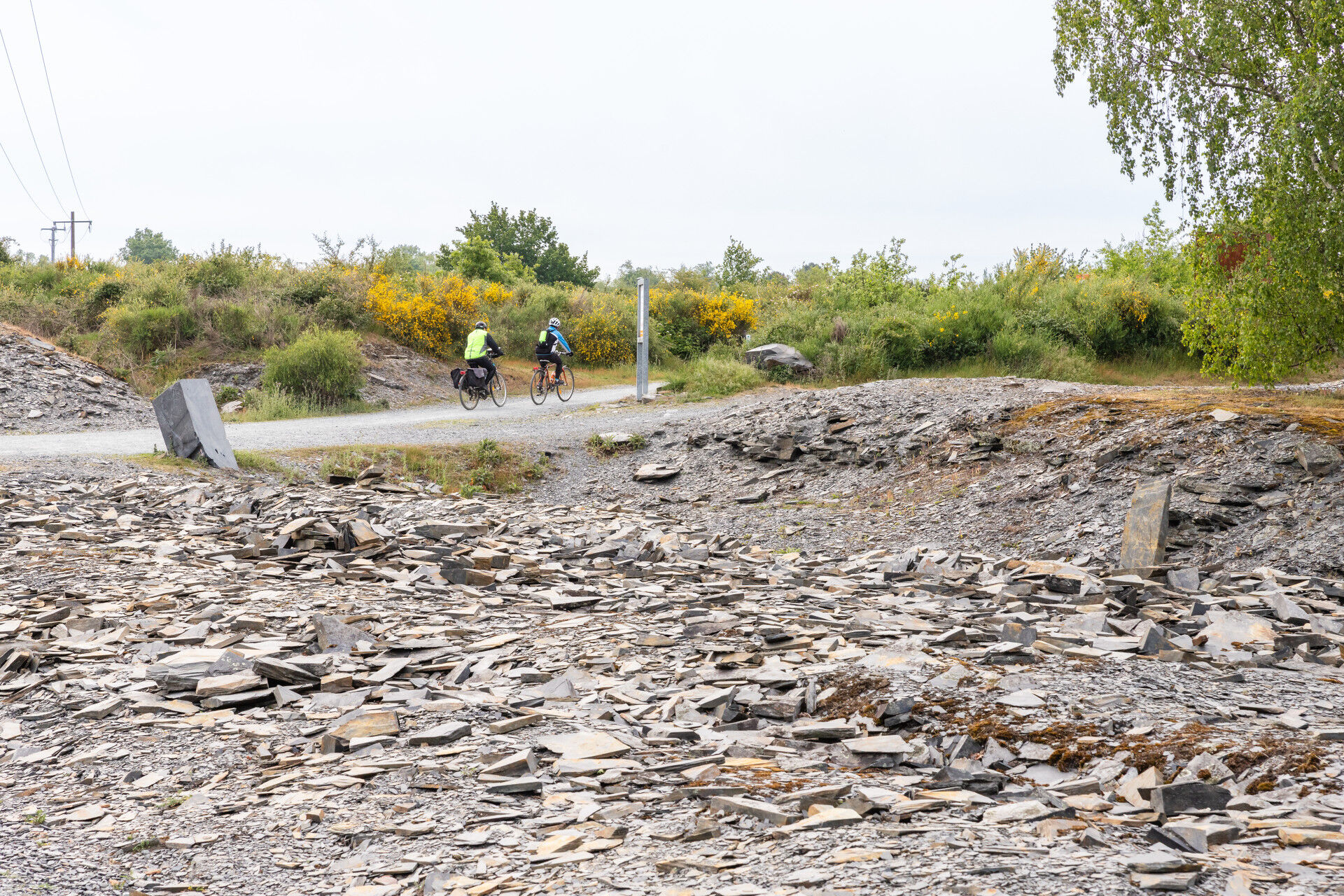
- The Parc des Ardoisières in Trélazé, with its mounds, old bottoms and headframes, has been redeveloped from a former slate quarry.
- The Musée de l'ardoise (slate museum) illustrates...
- The Parc des Ardoisières in Trélazé, with its mounds, old bottoms and headframes, has been redeveloped from a former slate quarry.
- The Musée de l'ardoise (slate museum) illustrates the evolution of slate quarrying techniques and offers demonstrations of slate splitting.
- The Parc de Pignerolle in Saint-Barthélemy-d'Anjou is a fine example of French art de vivre. Spanning 80 hectares, hikers will appreciate the landscaped setting, which respects the elegance and architectural balance of the chateau built in 1776.
Facilities available:
- Picnic tables and toilets in the Parc des Ardoisières in Trélazé and in the Parc de Pignerolle in Saint-Barthélemy-d'Anjou.
Starting points:
- Domaine de Pignerolle parking lot (main gate), Saint-Barthélemy-d'Anjou
- Musée de l'Ardoise, chemin de la Maraichère, Trélazé
Tour marked in mauve.


Angers and its surroundings, rich in their confluence landscapes, are sometimes subject to flood risks throughout the year. Some trails may be temporarily impassable, remain vigilant.
In case of emergency, dial 112.
Consider carpooling.
Parking near the starting point.
T1
Be vigilant, especially when crossing roads or when you walk alongside them, but also at all times in nature. It can sometimes present dangerous passages, flooded areas, steep sites, or slippery paths.
Follow the marked paths to avoid getting lost and to limit erosion of soils and natural habitats. Pay attention to the markings and if in doubt, don’t hesitate to turn back.
Do not pick protected species and remain discreet to avoid disturbing wildlife.
Some trails are used by cyclists, be careful.
This route and the associated GPX track may not, under any circumstances, be shared without mentioning Destination Angers.
Oblíbené prohlídky v okolí
-
4.0
The Anjou loop of La Loire à Vélo - with bac de la Chevalerie
světloJízda na kole 39.1 km -
4.0
Bucolic walk around Saint-Léger-de-Linières
světloTuristika 8.11 km -
La Roche de Murs
světloTuristika 5.14 km -
Lake, pond and tributary
světloTuristika 18.5 km -
To the confluence of the Loire and the Maine
světloTuristika 18.0 km -
The Loir Valley by Bike—including the ferry at La Roche Foulques
světloJízda na kole 32.0 km -
The Savennières vineyards
světloTuristika 9.59 km -
Scents of the undergrowth walk
světloTuristika 13.8 km -
The Sarthe towpath and sandpits
světloTuristika 8.05 km -
Loire and Aubance Circuit
světloJízda na kole 51.5 km
Pěší turistika a stopování


Nenechte si ujít nabídky a inspiraci pro vaši příští dovolenou
Vaše e-mailová adresa byl přidán do poštovního seznamu.





