





Lopar, Kroatien

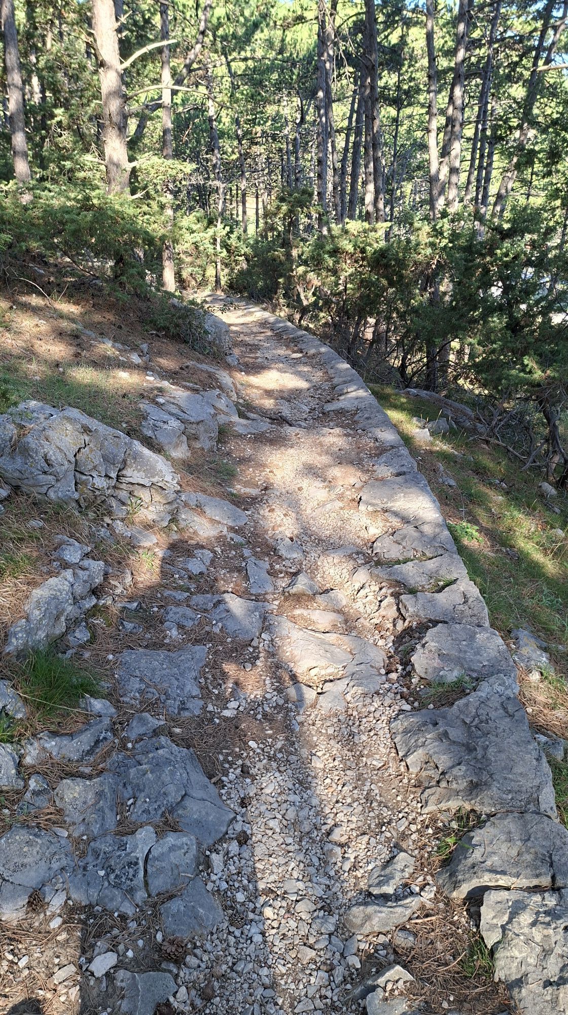
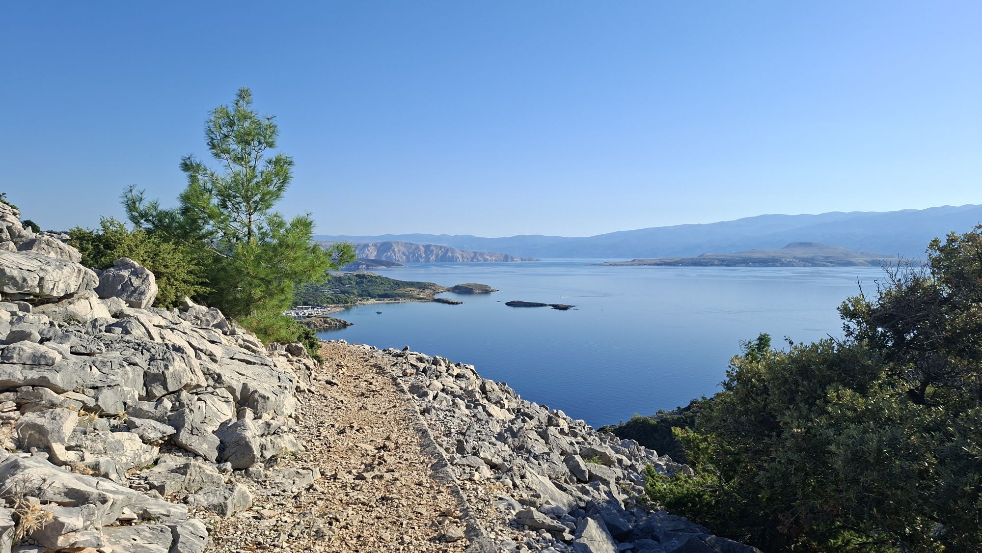
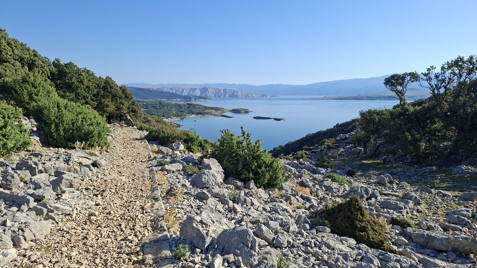
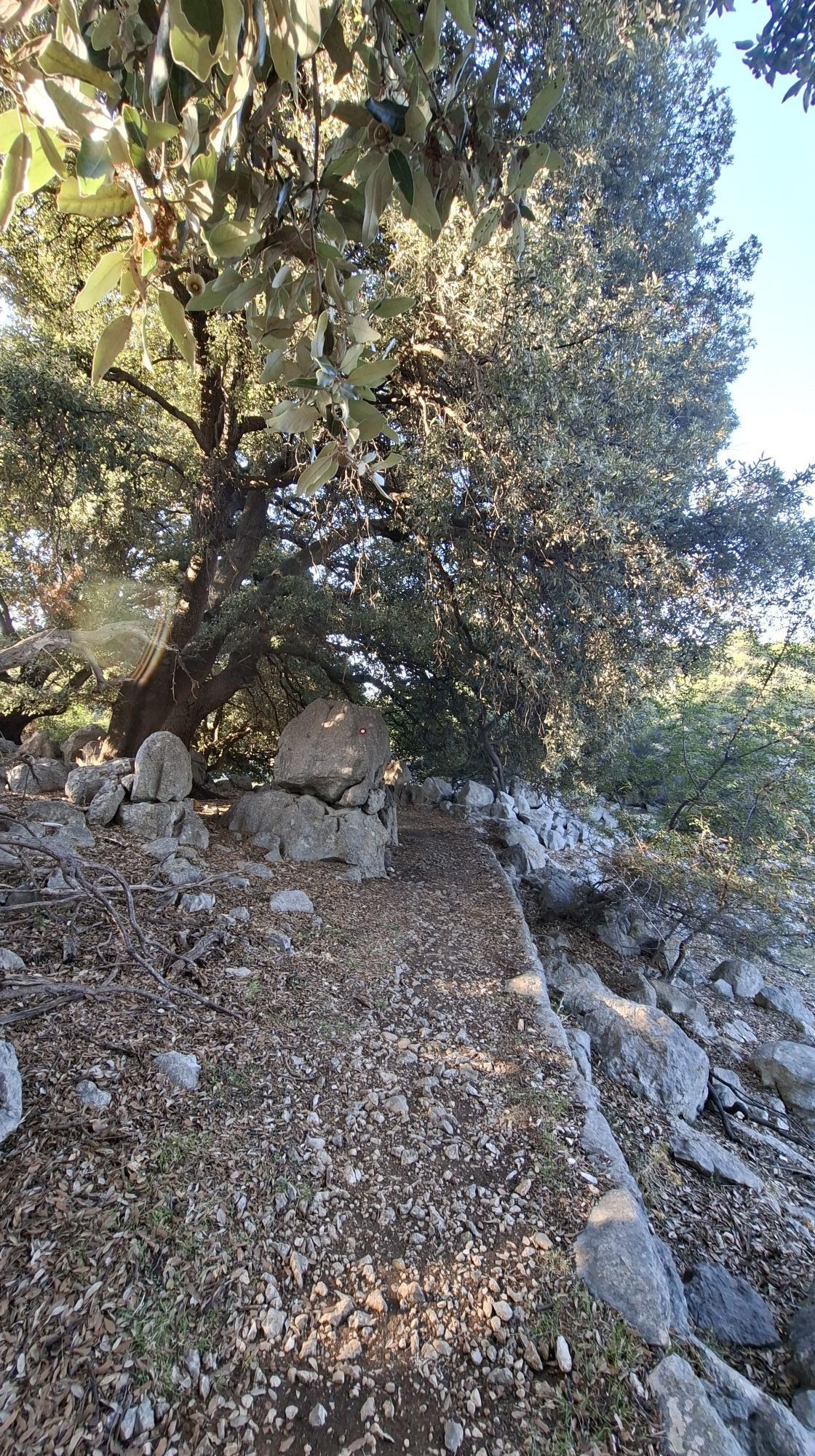
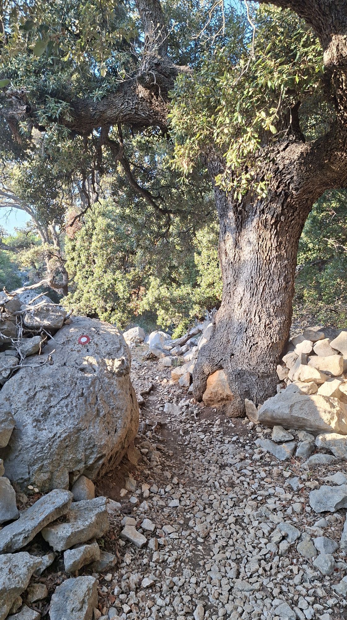
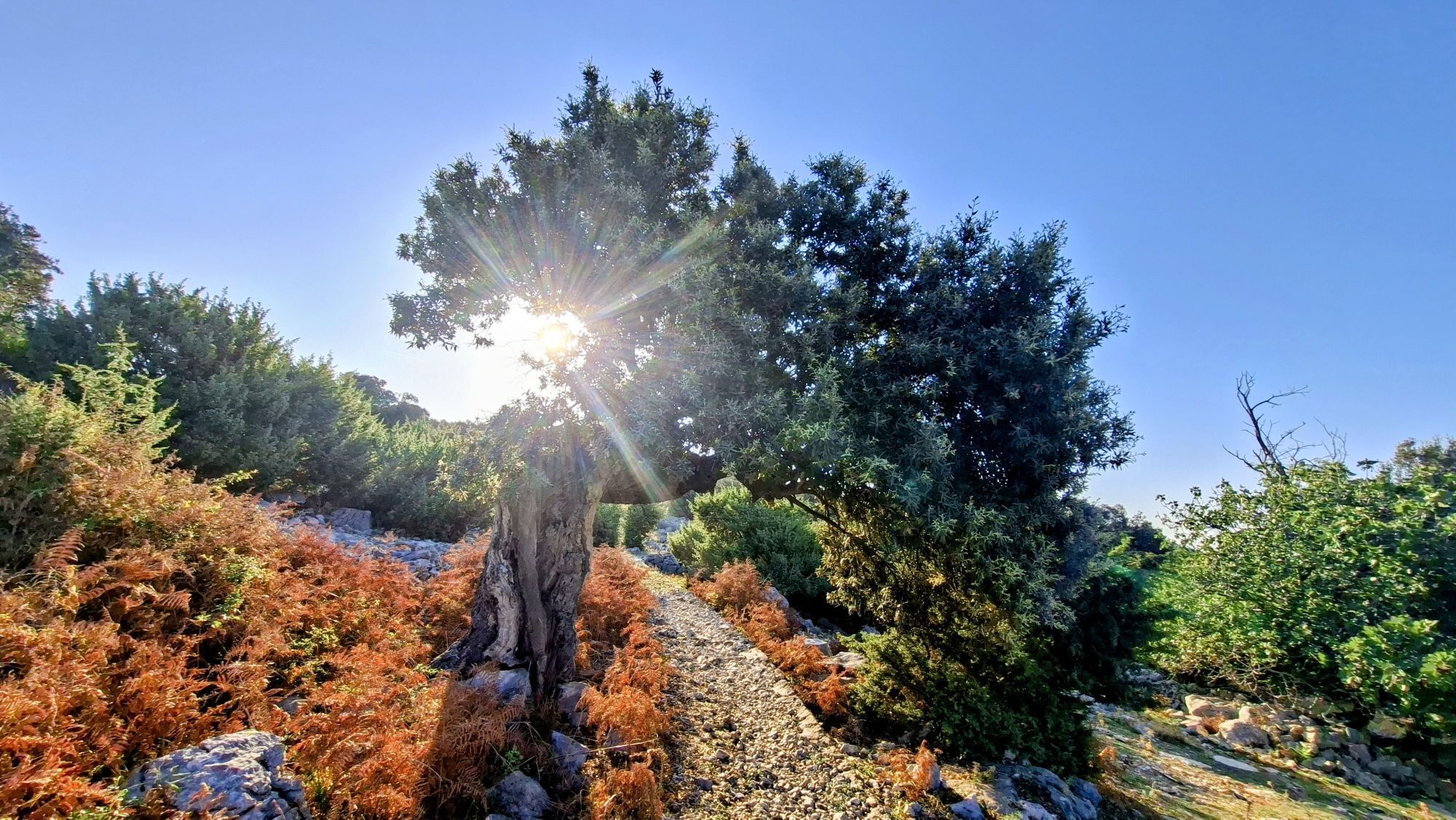
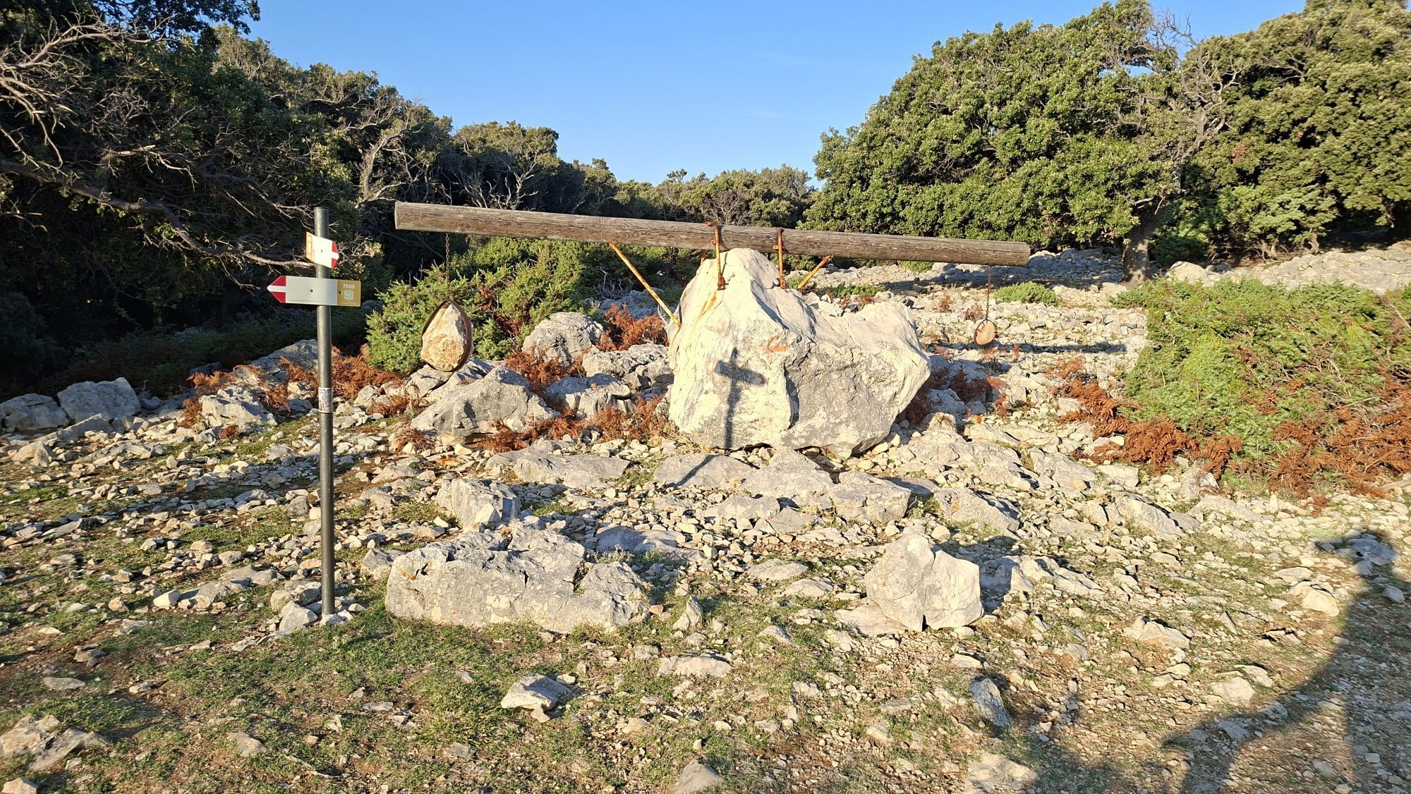
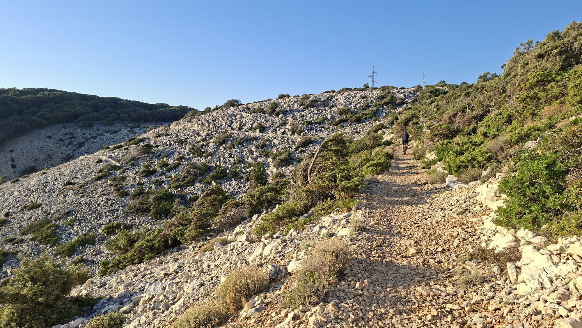
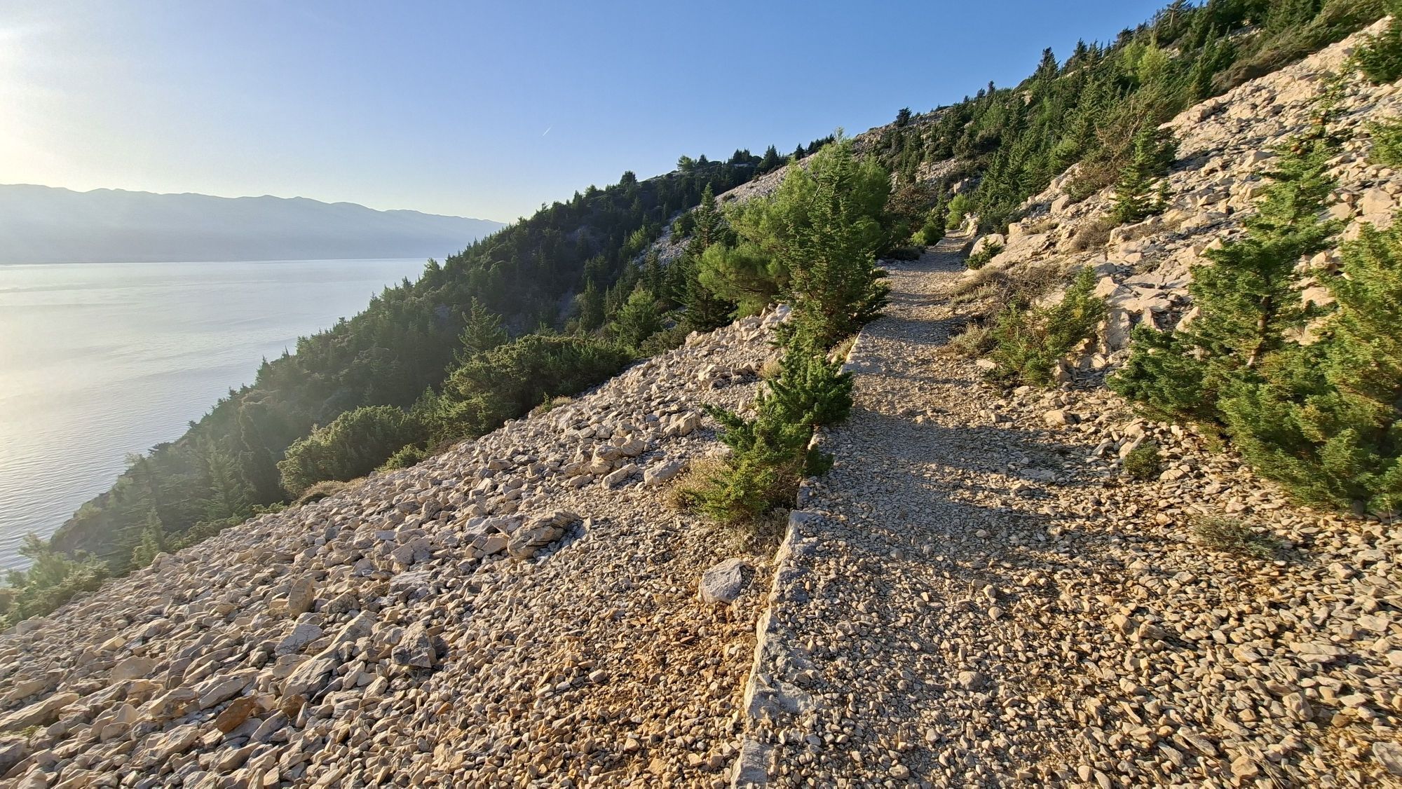
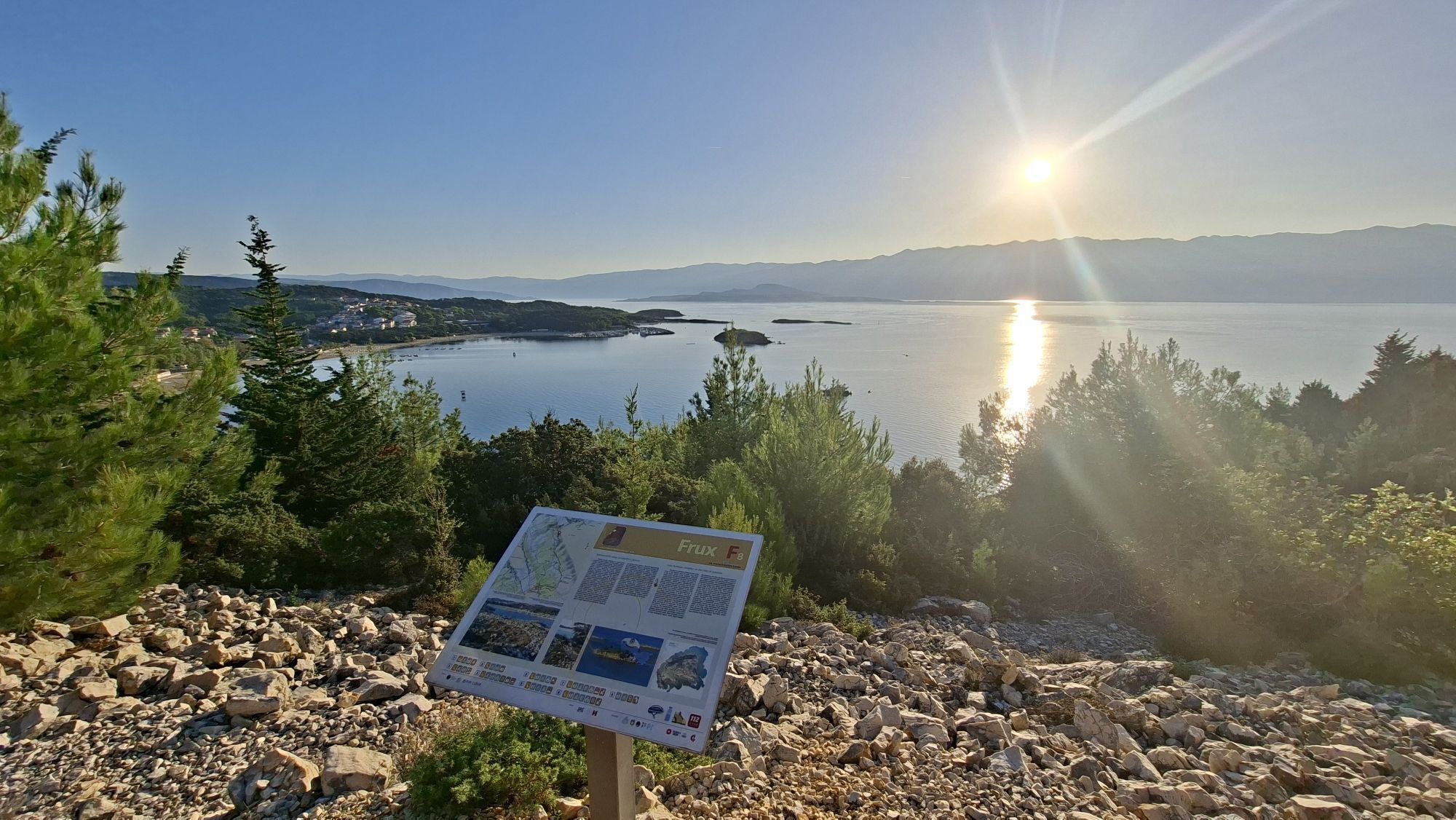
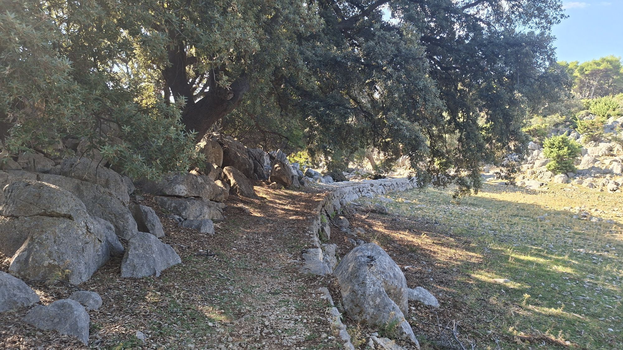
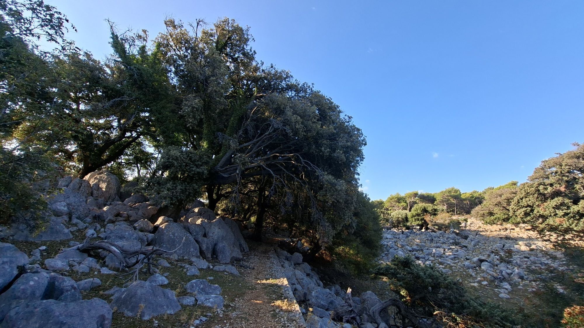
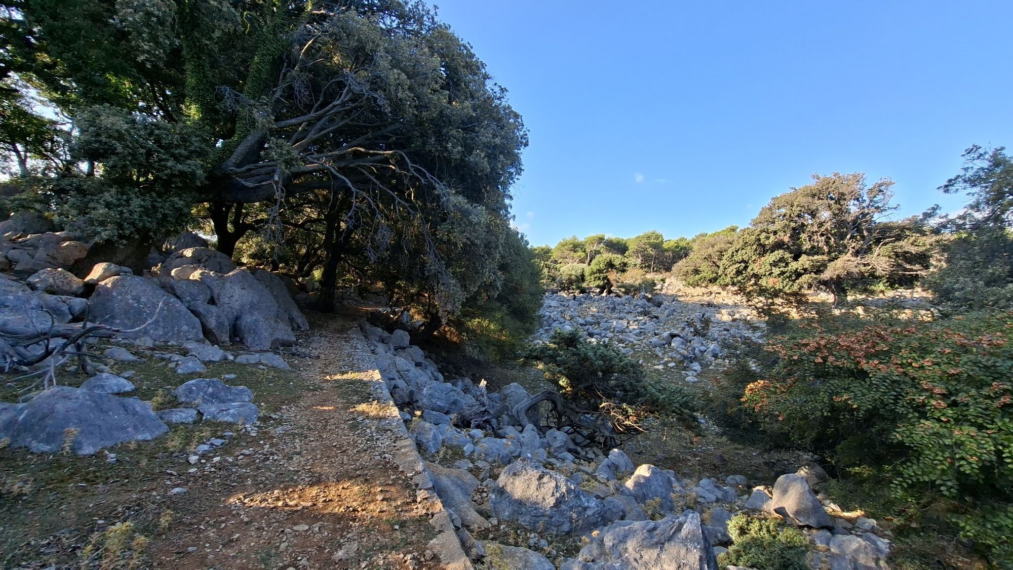
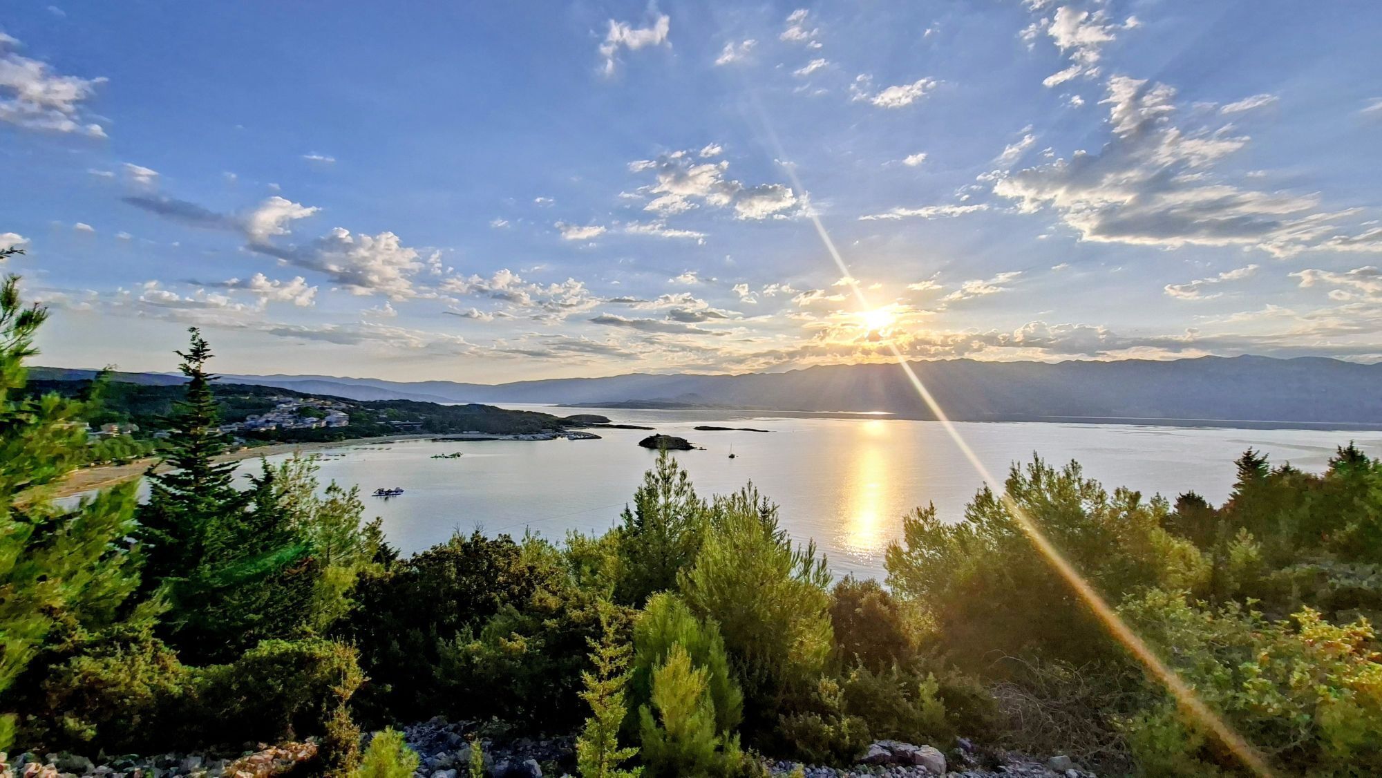
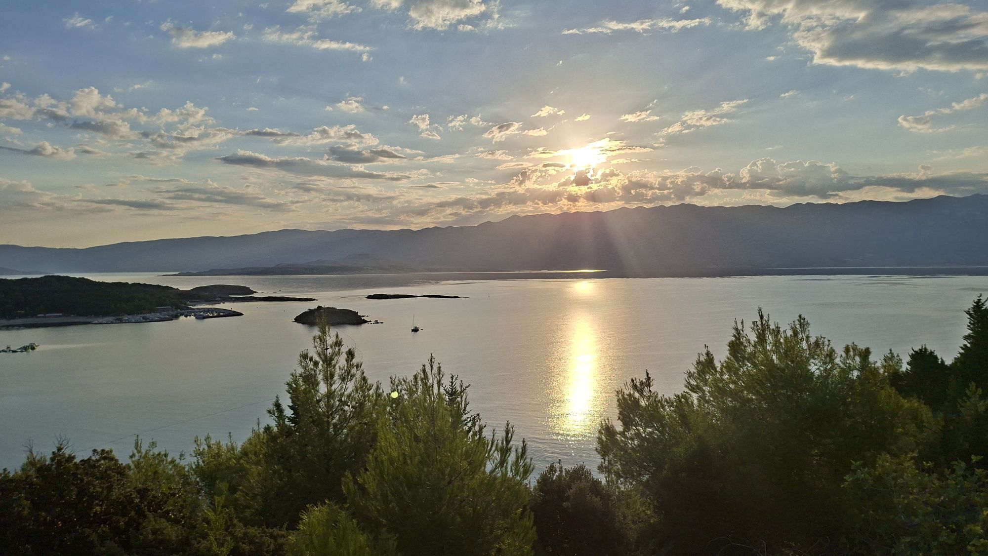
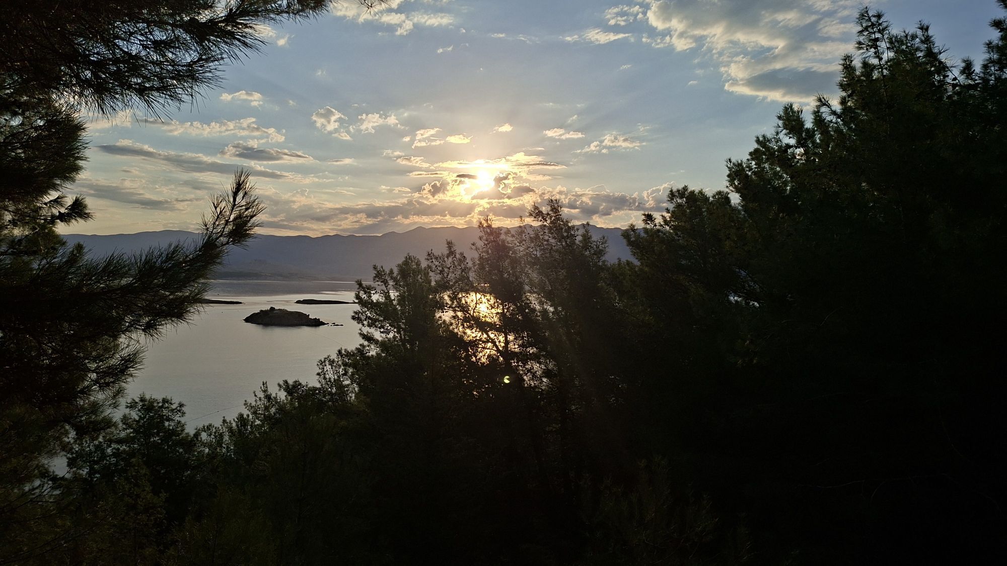
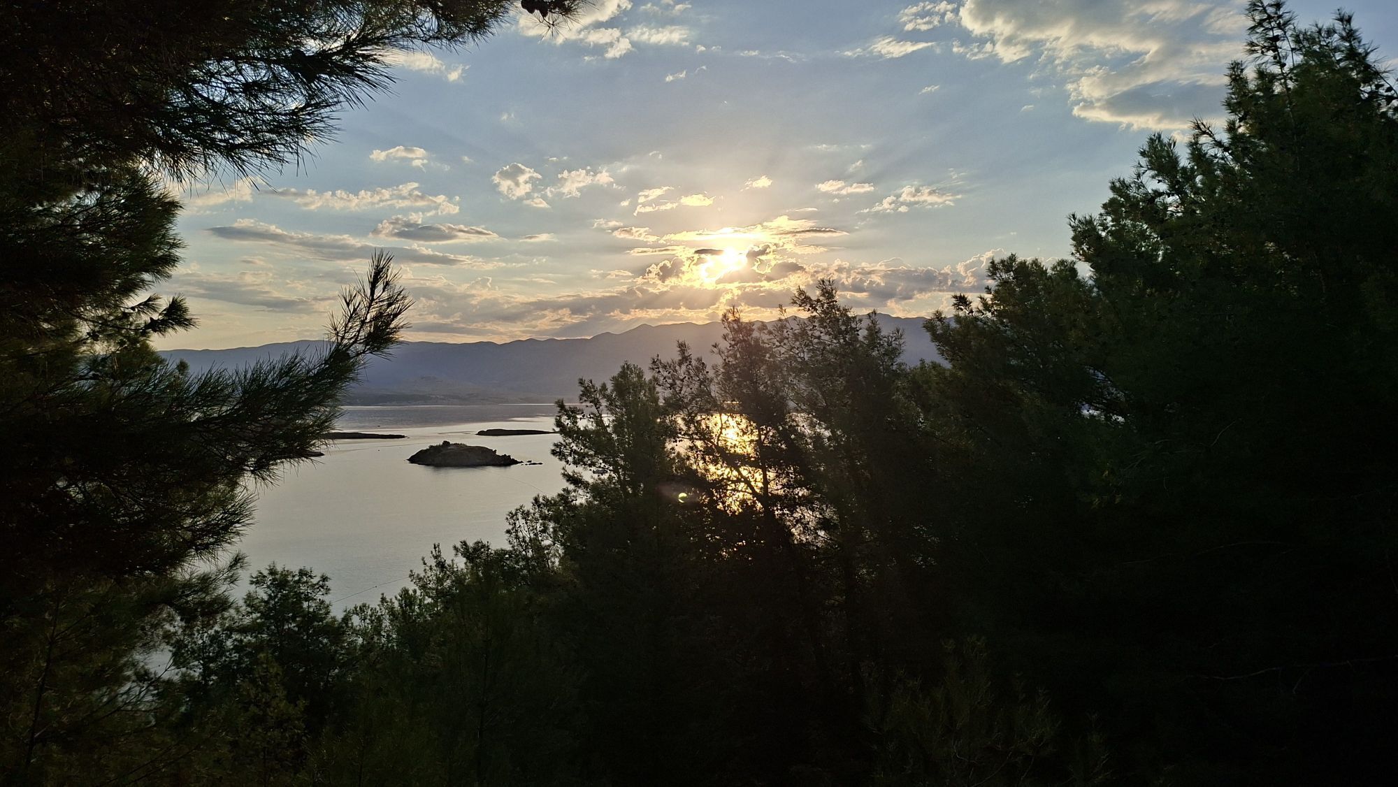
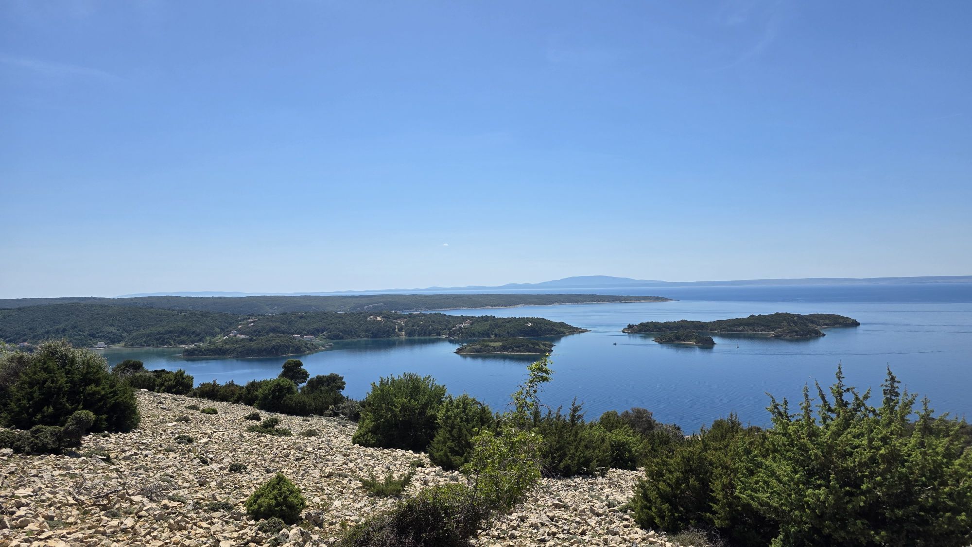
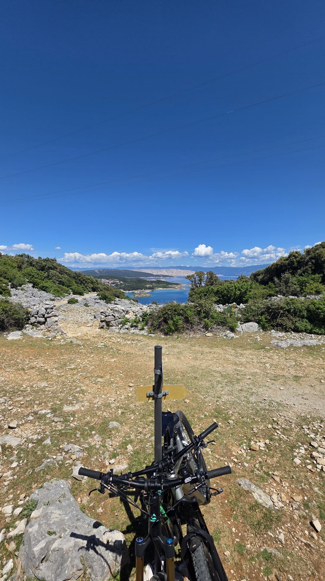
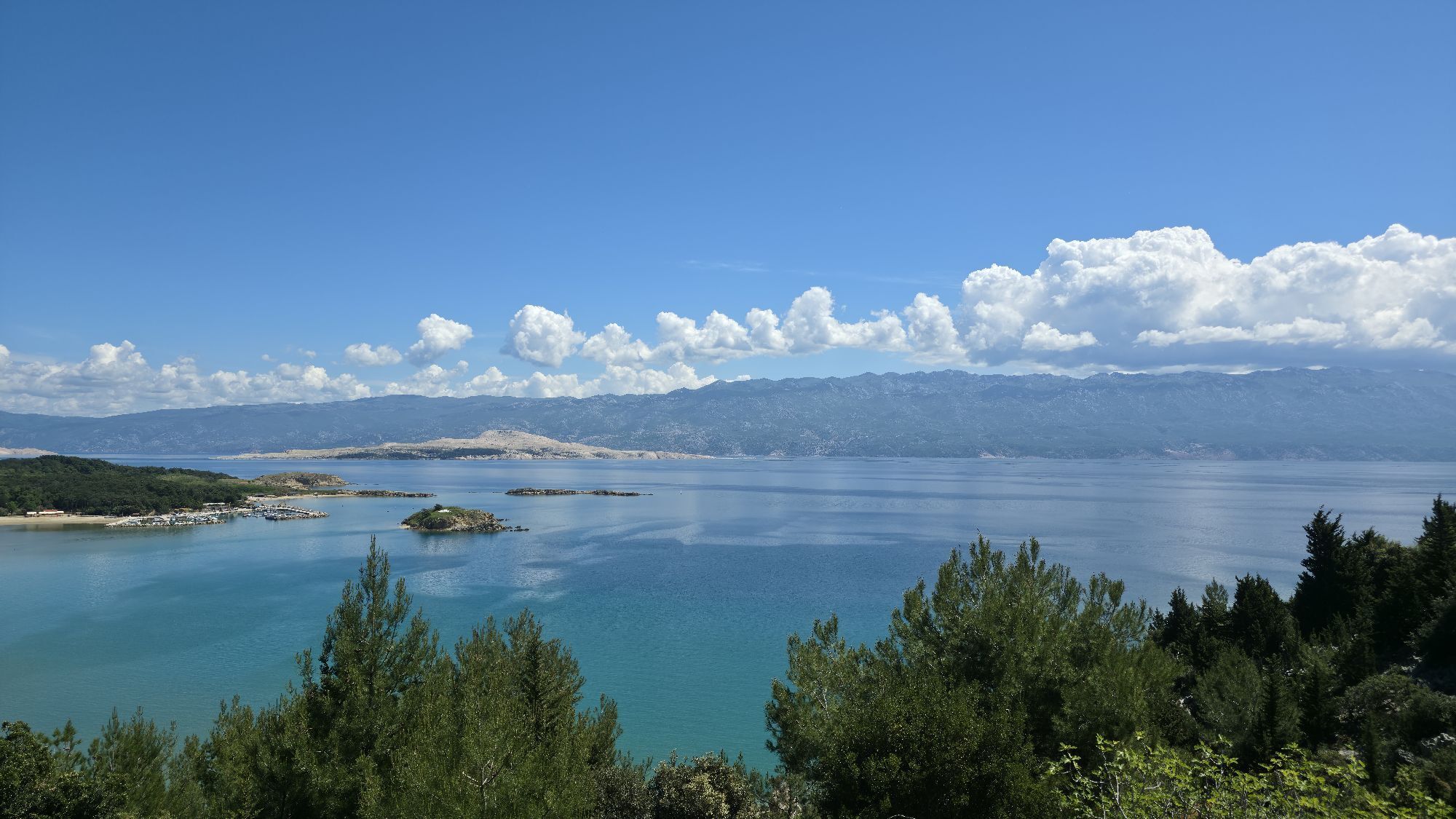
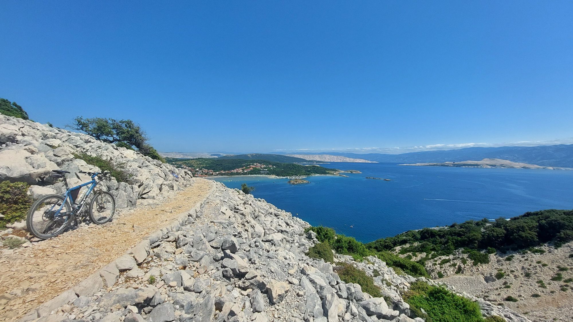
Challenging e-MTB route with technical, rocky terrain. This trail is not suitable for gravel bikes and not recommended for hardtail bikes. Due to the very sharp-edged rocks, reduce tire pressure to 1.5...
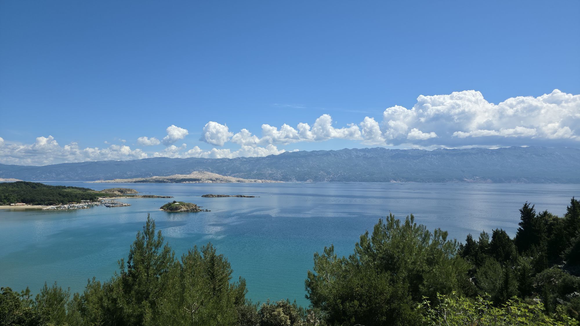
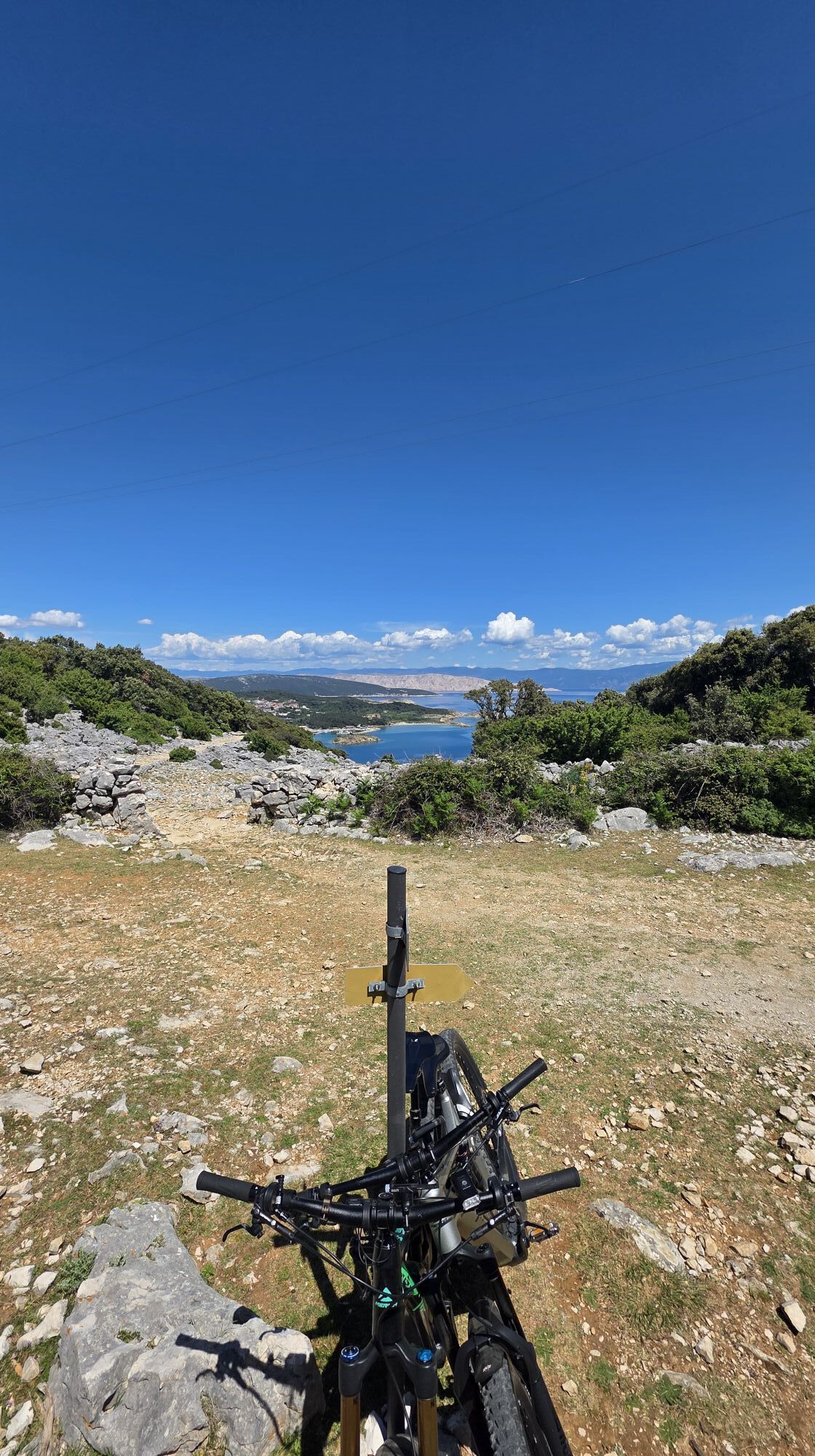
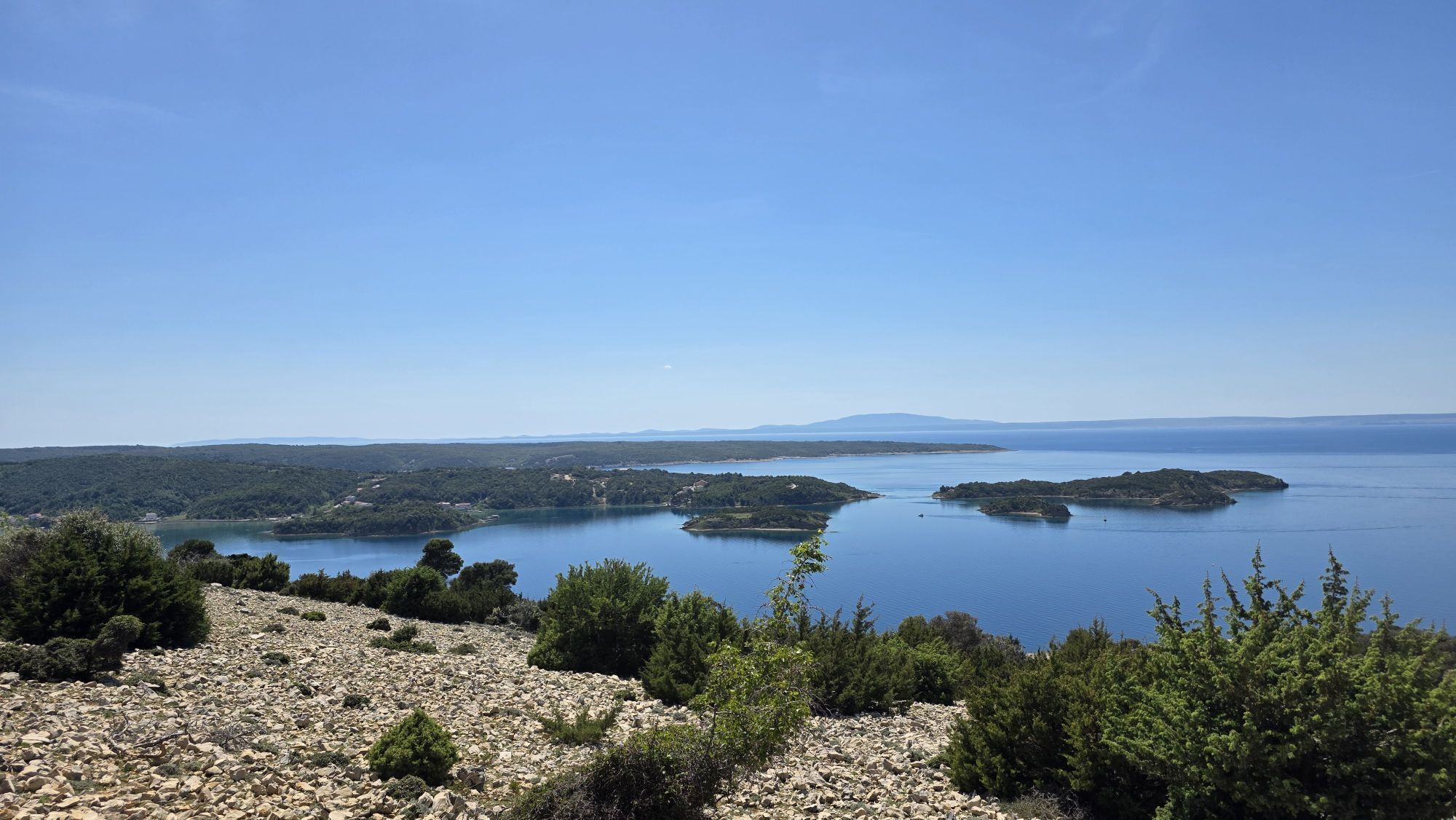
Challenging e-MTB route with technical, rocky terrain. This trail is not suitable for gravel bikes and not recommended for hardtail bikes. Due to the very sharp-edged rocks, reduce tire pressure to 1.5 bar or lower for better grip, comfort, and puncture protection. Along the route, you’ll be rewarded with stunning panoramic views from several viewpoints. On sunny days, bring sunscreen—there is little shade on parts of the trail. This route is made for experienced mountain bikers only. 🚵♂️🏔️☀️



Oblíbené prohlídky v okolí
-
Lopar round
světloMountainbike 12.2 km -
Sv. Damjan
světloTuristika 4.88 km -
Tolle Aussicht - nix an heißen Tagen
světloTuristika 3.52 km -
4.7
Mundanije - Kamenjak - Ribarići - Banjol
středníTuristika 5.56 km -
2.5
Lopar - Rab - Kamenjak - Banjol
světloTuristika 22.4 km -
4.0
Lopar - Mikolaci
středníTuristika 7.67 km -
Gespanschaft Zadar
dálková pěší trasa 379 km -
4.0
Mikolaci - Stanišće - Podine - Sklan
heavyMountainbike 61.0 km -
4.0
Mikolaci - Zlatni zalaz - Vršanov vrh - Podine
heavyJízda na kole 44.8 km -
Mikolaci - Bunići - Impy park
středníMountainbike 13.4 km
Pěší turistika a stopování


Nenechte si ujít nabídky a inspiraci pro vaši příští dovolenou
Vaše e-mailová adresa byl přidán do poštovního seznamu.





