Navigace na stránkách
Pořiďte si tuto prohlídku do mobilního telefonu
Mapa
Oravivuori Nature Trail and Triangulation Tower, Korpilahti

střední
Turistika
0.98 km
Naskenujte QR kód a spusťte navigaci v aplikaci bergfex.
QR Code
Pěší turistika a stopování

Oravivuori Nature Trail and Triangulation Tower, Korpilahti

Vzdálenost
0.98 km
Doba trvání
01:00 h
Ascent
35 hm
Hladina moře
128 - 167 m

Úroveň obtížnosti: T2

Stažení skladby
Mapa
Oravivuori Nature Trail and Triangulation Tower, Korpilahti
střední
Turistika
0.98 km

The Oravivuori trail takes you to the top of Oravivuori Mountain in Puolakka, Korpilahti. The trail to the top is about a kilometre long. Take sturdy shoes with you, as the trail sometimes climbs up a...

Popis
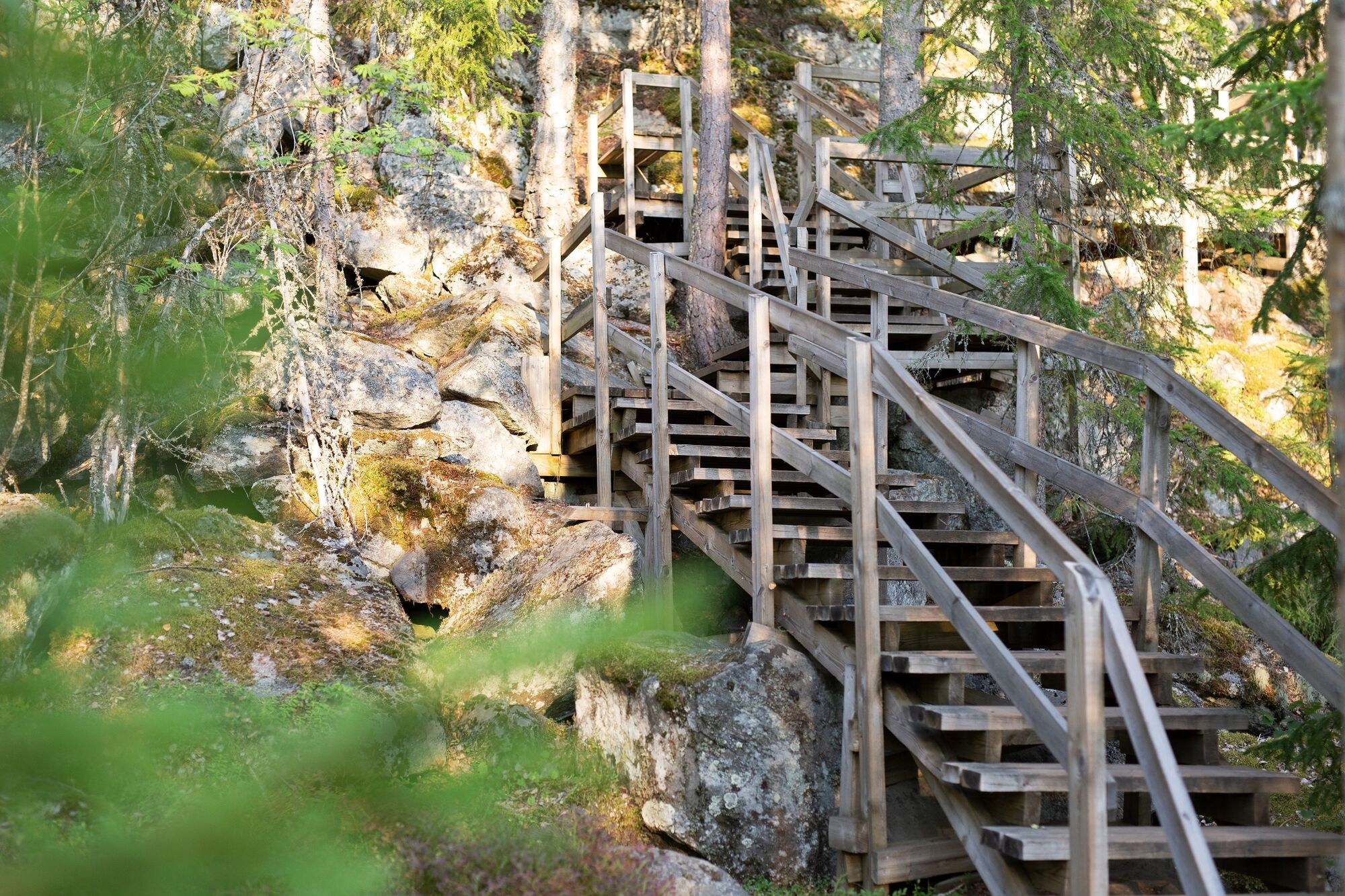
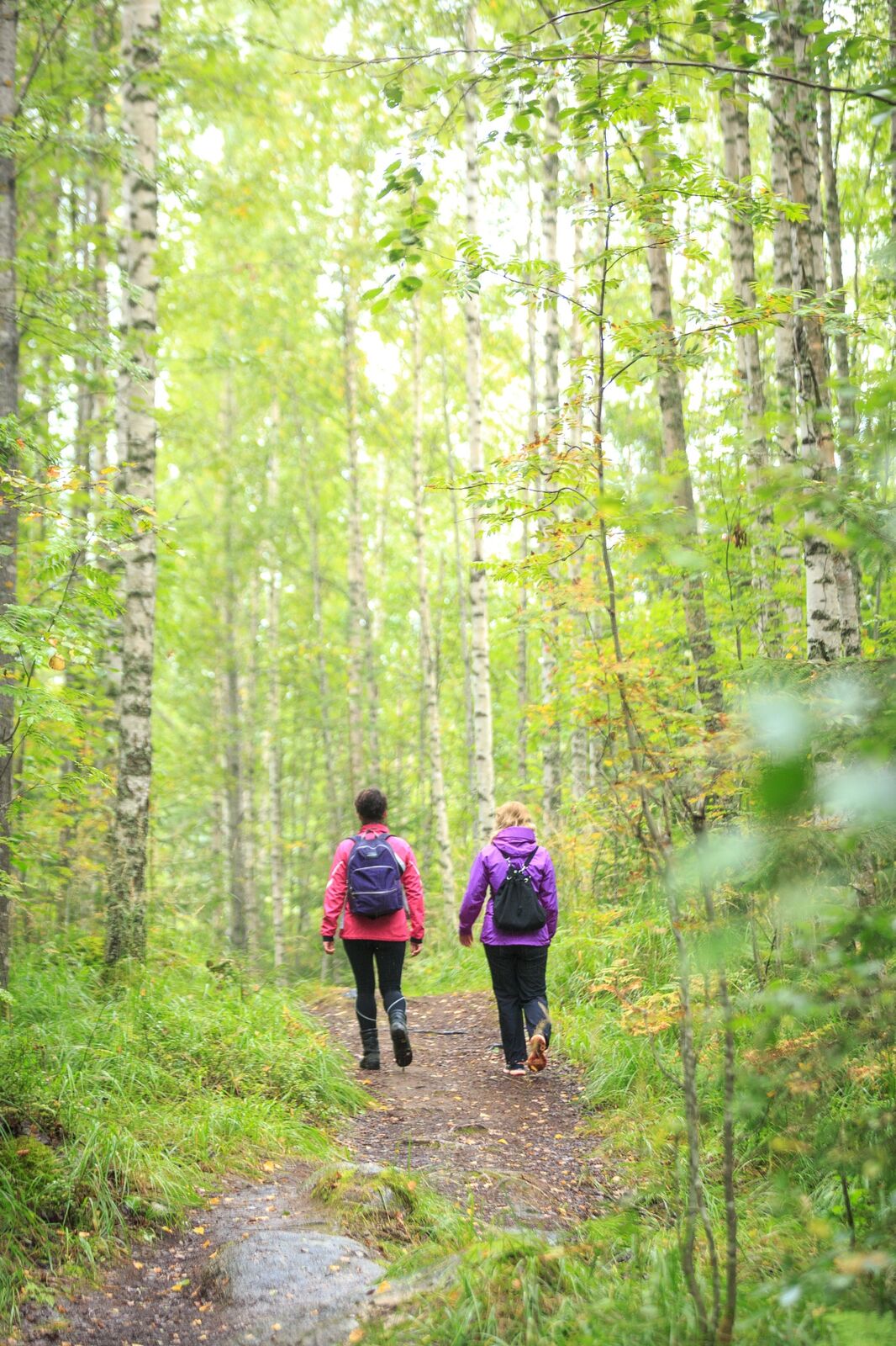
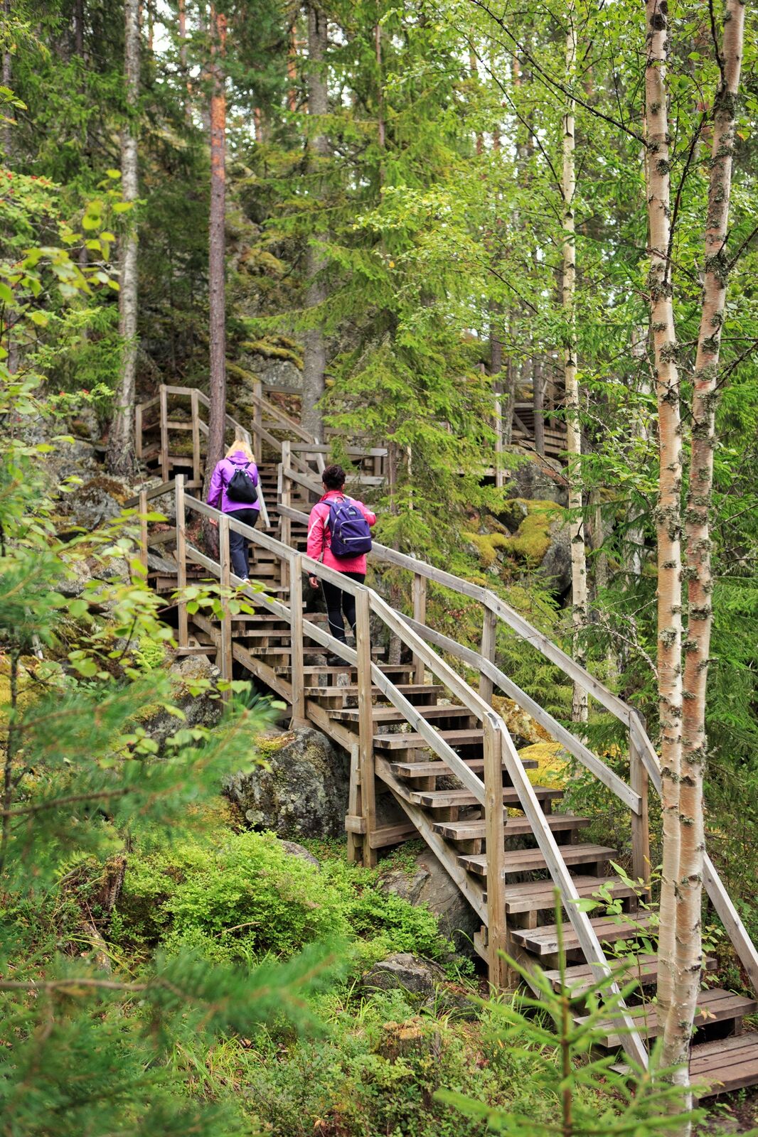
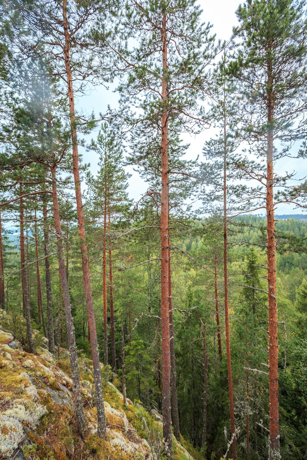
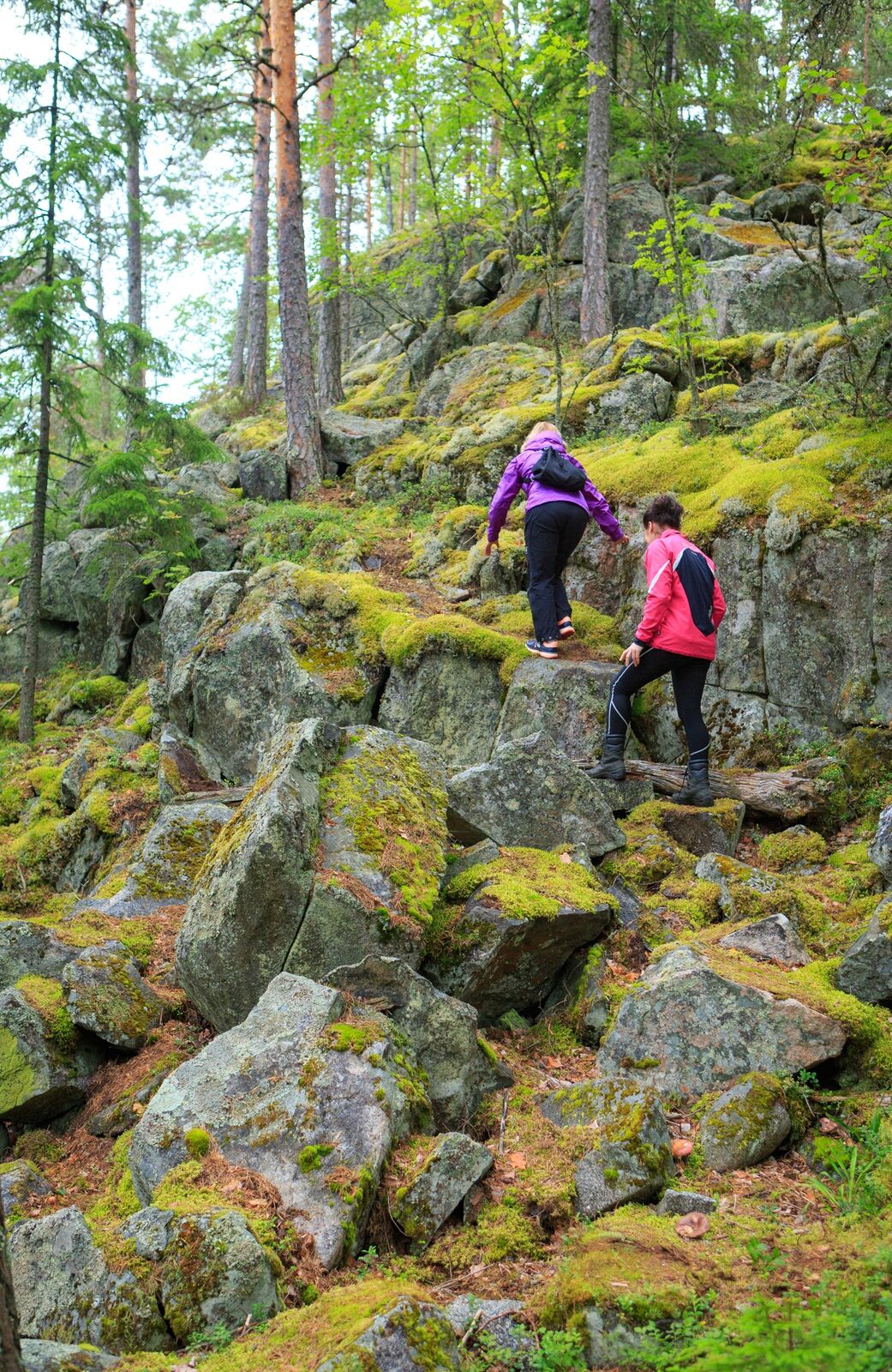
The Oravivuori trail takes you to the top of Oravivuori Mountain in Puolakka, Korpilahti. The trail to the top is about a kilometre long. Take sturdy shoes with you, as the trail sometimes climbs up a steep rocky slope. Stairs have been built in the most difficult places.

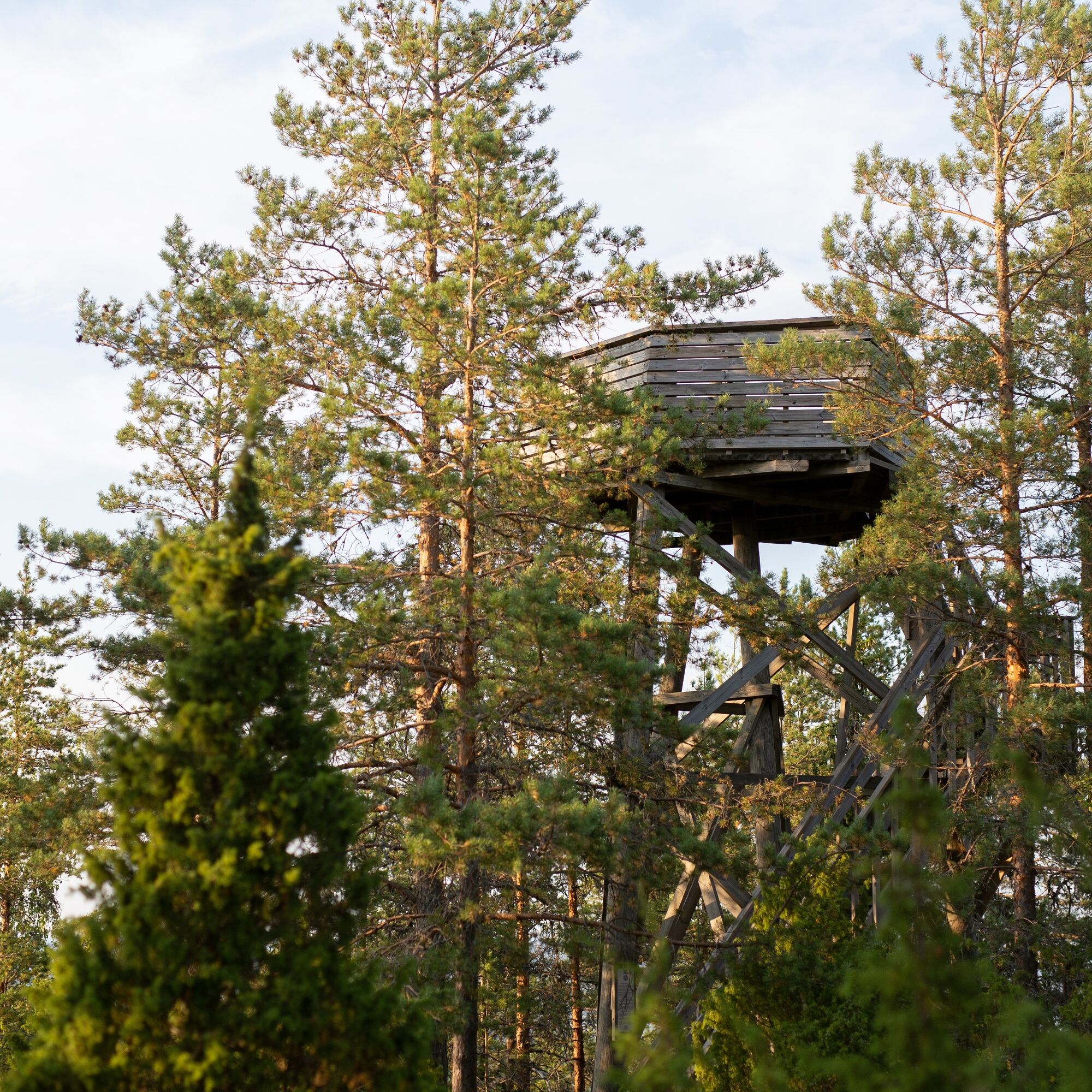
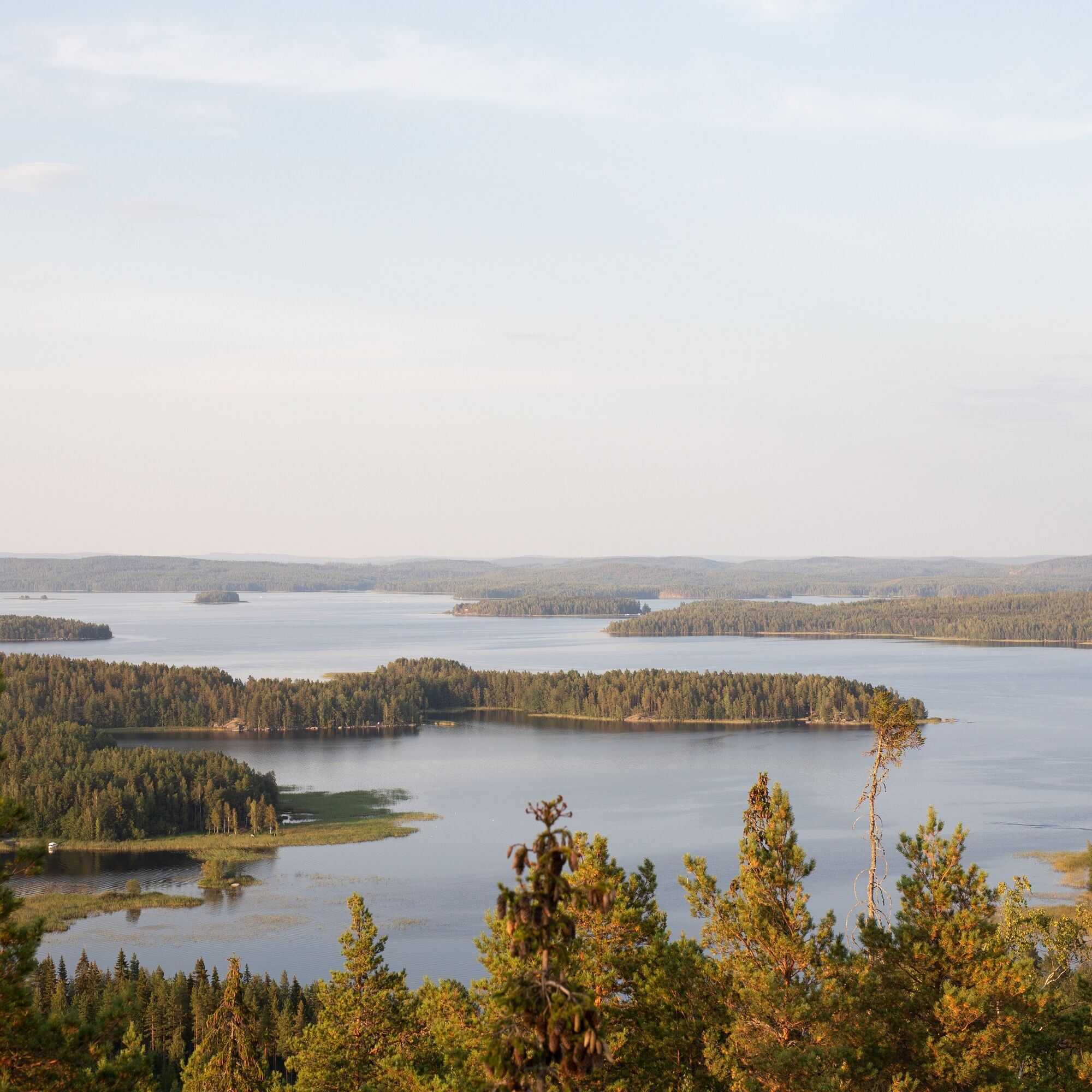
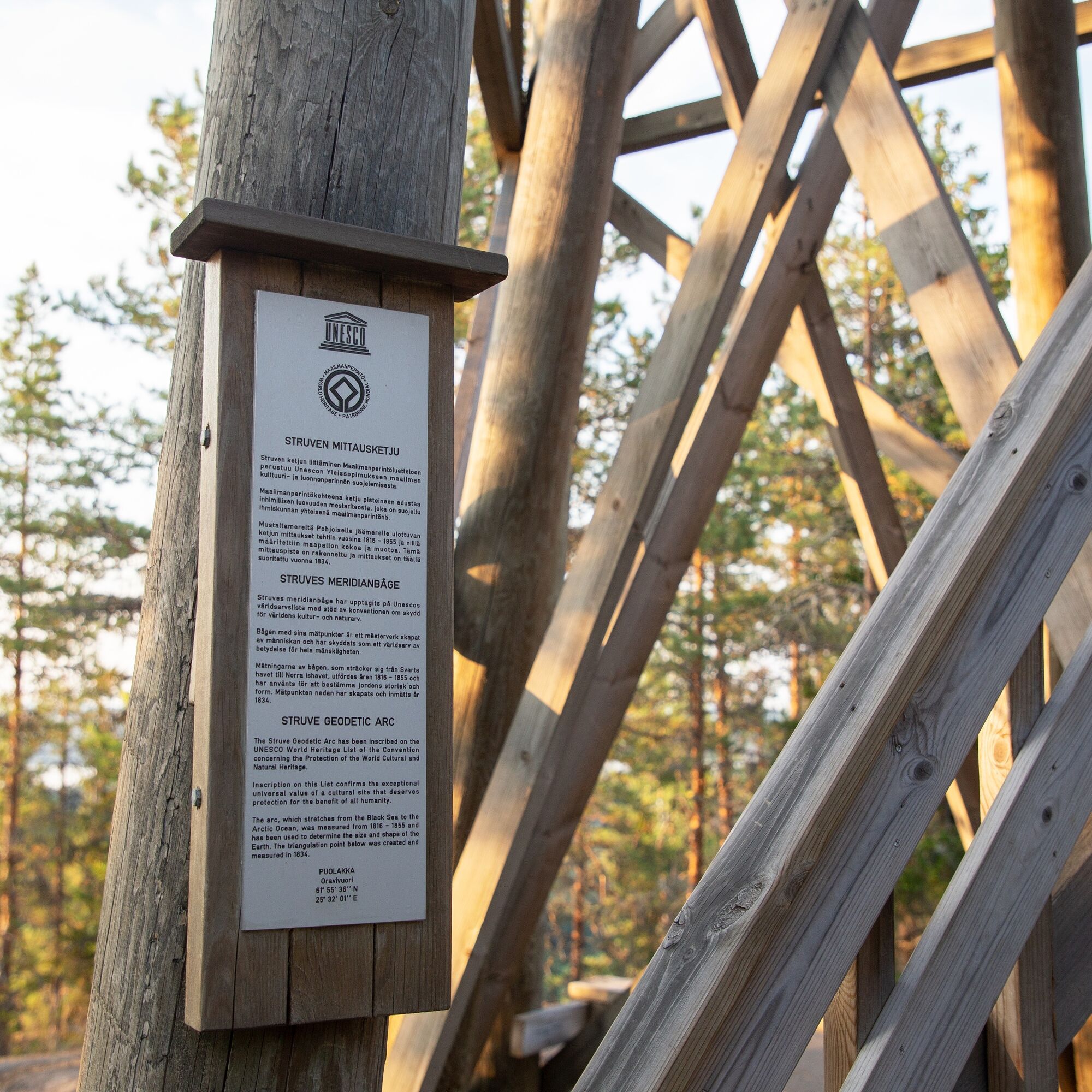
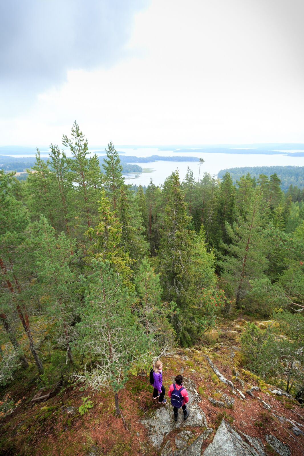
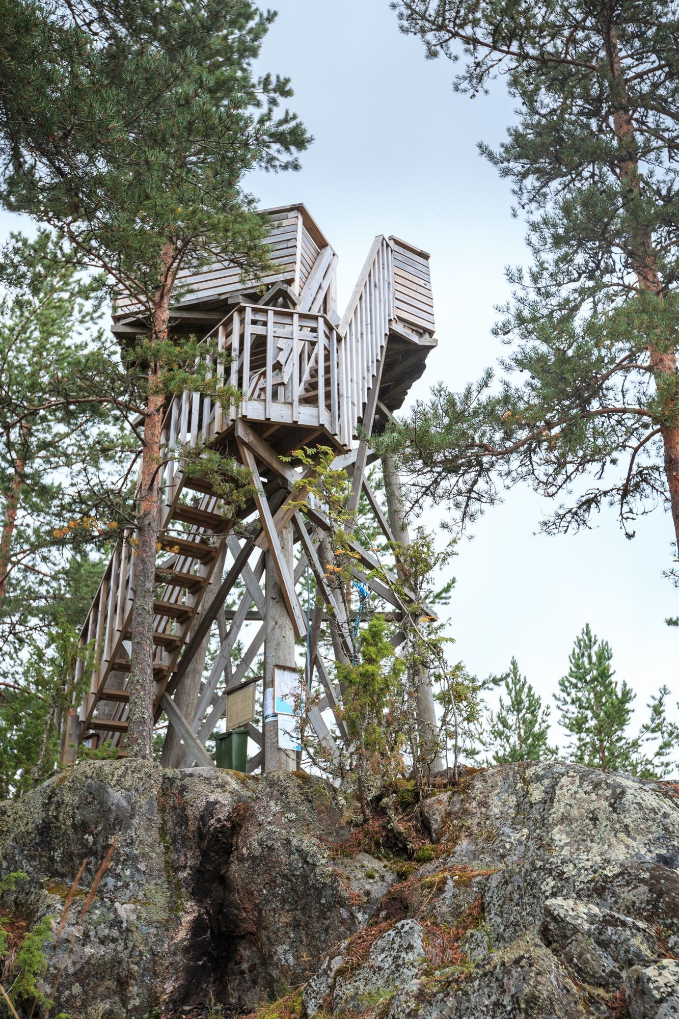
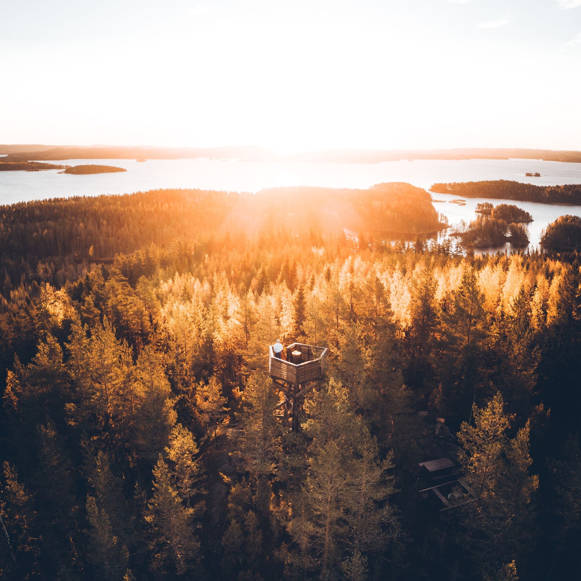
At the top of Oravivuori is one of the points of Struve, a UNESCO World Heritage Site, which was inscribed on the World Heritage List in 2005. Struve's triangulation chain was invented by the astronomer Friedrich Struve to determine the shape and size of the Earth in the 19th century. The chain was a major scientific invention in its day. A triangulation tower has been erected at the top of the mountain to commemorate the importance of the measuring station for the mapping of Finland. Here you will also find a lookout tower, which is worth climbing to the top to admire the Lake Päijänne. The path is marked with signposts.

There is an outdoor toilet at the parking area (bring your own toilet paper). Along the route, you will find rest areas as well as site information provided via QR codes.

Trasa
Trasa
Mapa
Oravivuori Nature Trail and Triangulation Tower, Korpilahti
střední
Turistika
0.98 km
Informace o prohlídce

Climb along the Oravivuori trail to admire the magnificent scenery around Päijänne and marvel at one of the UNESCO World Heritage Sites, Struve Measuring Point in Korpilahti.

Technologie
2 / 6
Stav
1 / 6
Krajina
5 / 6
Zkušenosti
4 / 6
Nejlepší roční období
Led
Úno
Bře
Dub
Kvě
Čen
Čec
Srp
Zář
Říj
Lis
Pro
Sdílet prohlídku
Mapa
Oravivuori Nature Trail and Triangulation Tower, Korpilahti
střední
Turistika
0.98 km
Chyba
Došlo k chybě. Zkuste to prosím znovu.
Informace o trase
Jednosměrná prohlídka

Ano

Vybavení

Good hiking shoes

Bezpečnostní pokyny
In rainy weather, the rocks can be slippery, and care should be taken with small children.

The City of Jyväskylä is responsible for the maintenance of the Oravivuori structures and the Land Surveyor's Office for guidance. Feedback can be sent to https://s-asiointi.jkl.fi/eFeedback/

Informace o příjezdu
Příjezd

The starting and parking point of the nature trail is along the Vanhanpääntie (Address: Vanhanpääntie 65).

Veřejná doprava

In addition to arriving by your own car, you can also get there with a JYTAKSI ride.

Parkování

The parking area has space for about 10 cars and one bus. The parking area is not regularly maintained during winter. In addition to your own car, you can also use JYTAKSI.

Další informace a tipy
Úroveň obtížnosti

T2

Tipy

You should allow between one and two hours to climb to the top of Oravivuori and admire the views.

Zatím žádné recenze
Napište recenzi

Recenze pomáhají ostatním uživatelům při výběru dalšího dobrodružství. Hodnoťte prosím pouze prohlídku, nikoli počasí nebo svačinu.

Výběrem jedné z hvězdiček ohodnotíte prohlídku
Špatné turné
Slabé turné
Průměrné turné
Dobrá prohlídka
Vynikající prohlídka
Pěší turistika a stopování

Pěší turistika a stopování

Pěší turistika a stopování
Více než 550.000 návrhů výletů, podrobné mapy a intuitivní plánovač tras dělají z aplikace nezbytnou výbavu pro všechny milovníky přírody.
bergfex