




Salamajärvi National Park, Pahapuro route
The Pahapuro route (7 km) is marked with green paint dots. The route starts from the yard of the Koirasalmi nature hut, following a path along the shore of Little Koirajärvi south towards the Salamanperä...
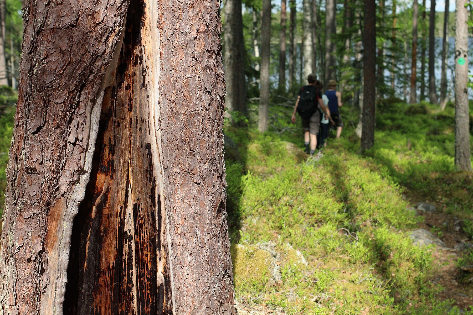
The Pahapuro route (7 km) is marked with green paint dots. The route starts from the yard of the Koirasalmi nature hut, following a path along the shore of Little Koirajärvi south towards the Salamanperä nature reserve. The forests of Salamanperä are very natural, and you can see reindeer paths on the route. With good luck, you can encounter the area's emblematic animal! In the landscape of Suoniittylato, in early summer, you can admire the delicate beauty of the cotton grass meadow. In the nature reserve, you meet magnificent, fire-saved silver-gray old pine trees before arriving at the shore of Kangasjärvi and the devil's field.
Things to see on the route:
The stone sauna stove and tar pit of the Joutsenlamminkangas tar cabin Suoniittylato Salamanperä nature reserve and old-growth forest Tall, fire-scarred scots pines on the shore of Kangasjärvi Devil's field Reindeer pathsThe route description was created as part of the #CentralFinland hiking routes on the world map project, funded by the Central Finland ELY Centre from the rural development agricultural fund.

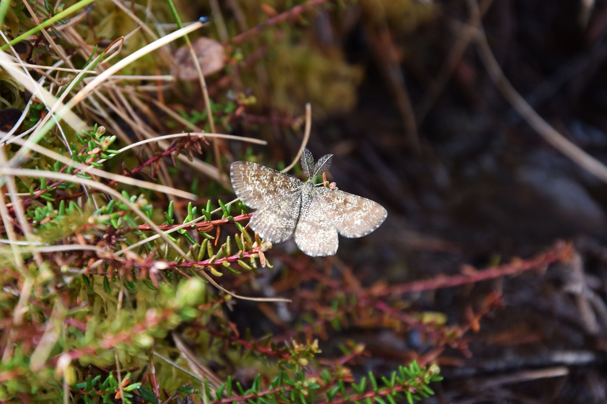
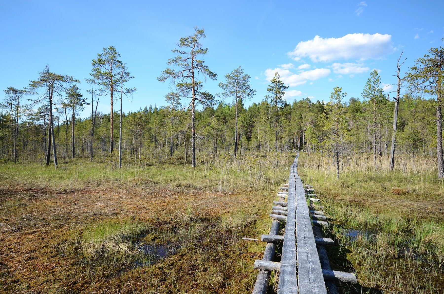
The route is recommended to be traveled clockwise.
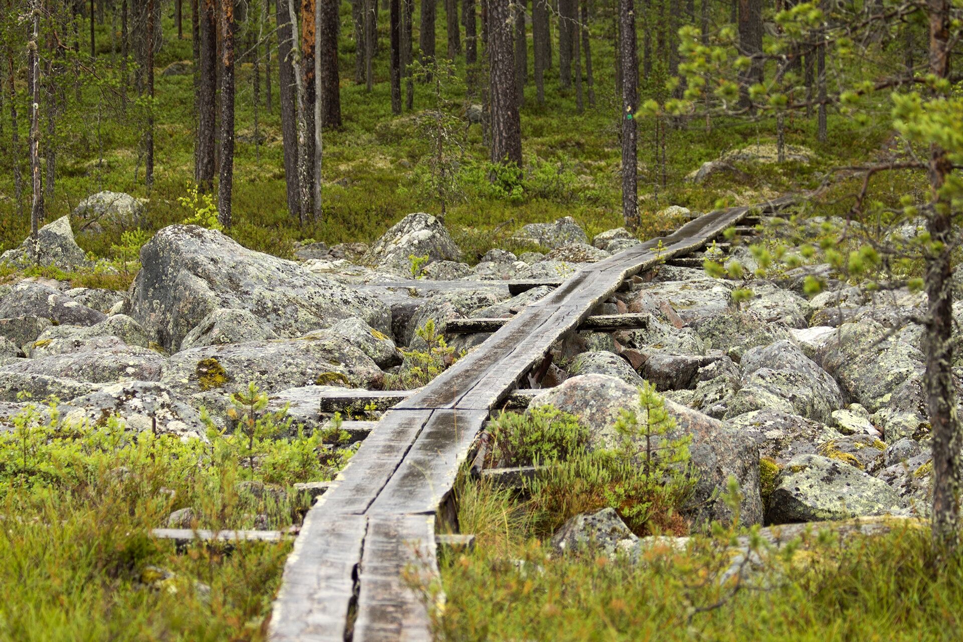
The Pahapuro route starts from the Koirasalmi nature hut. The beginning section goes through flat swamp terrain on boardwalks along the Little Koirajärvi. About one kilometer in, a circular route begins, which returns to the same point. At the start of the circular route, the path is rocky and rooty. Soon you reach the border of the Salamanperä nature reserve. In the nature reserve, you walk through, among others, old-growth forest and a devil's field. The route continues through varied swamp and forest environments. Before the last swamp section, you walk through hilly pine forest along a rocky path. The return to Koirasalmi follows the already familiar route along Little Koirajärvi.
Good to know
Waste management, water point, and toilet are located at the Koirasalmi nature hut. At Koirasalmi, it is also possible to stay overnight, eat, and sauna, as the nature hut offers, among other things, a kiosk, lean-to shelter, and room accommodation.
Wear sturdy shoes, as the path is sometimes rocky and rooty. It is recommended to pack a water bottle in your backpack.
Route classification
The terrain has hardly any demanding ascents or descents, but the paths are sometimes narrow and rocky and rooty in surface. The route also includes swamp sections where you walk on boardwalks. The route is also made demanding by its length, as there are hardly any rest or break places along the way. Green paint marks and guide signs at intersections help direct you.
The path is recommended to be traveled during snow-free conditions, but in winter the path can be traveled with snowshoes.
Signage
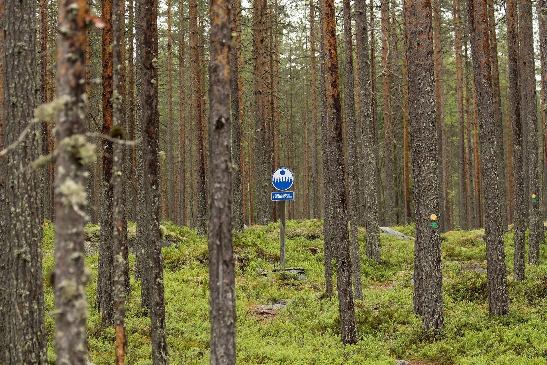
There are signs for the Pahapuro route at the Koirasalmi nature hut. The route is marked in the terrain with green paint marks and there are also some signs and information boards along the route. The borders of the Salamanperä nature reserve are marked with signs on the path.
By car
When coming from the south:
From highway 13 (Äänekoski - Kokkola) at the village of Perho's Möttönen there is signage to the national park. The distance to the national park, Koirasalmi, is 20 km. From Möttönen, turn northeast towards Kivijärvi, road 6520. From road 6520 (Perho - Kivijärvi) turn north onto Koirasalmentie according to signs.When coming from the east:
From Kivijärvi drive towards Perho (road no. 6520). The distance to the national park is 22 km. From road 6520, turn right onto Koirasalmentie according to the national park signs.By bus
From Jyväskylä direction to Kivijärvi (about 23 kilometers) and Perho (32 kilometers) as well as to the nearest bus stop in Perho's Möttönen From Kokkola direction, you can reach Perho and Perho's Möttönen From Möttönen, you can continue by taxi from the TB service station to Koirasalmi (22 km)More information about bus services and schedules at the Matkahuolto website.
Parking area:
Koirasalmi (Koirasalmentie 1220, Kivijärvi) Note! Not all GPS devices recognize the address.
Salamajärvi National Park website (Metsähallitus)
Please remember that moving in the Salamanperä nature reserve section of the route (follow signs) is only allowed on the trails.
Oblíbené prohlídky v okolí
Pěší turistika a stopování


Nenechte si ujít nabídky a inspiraci pro vaši příští dovolenou
Vaše e-mailová adresa byl přidán do poštovního seznamu.





