



Tulisuo-Varpusuo hiking route 11 km, Hyrynsalmi

The Tulisuo-Varpusuo mire protection area includes five major mires: Nahkasuo, Peurasuo, Pääsuo, Tulisuo, and Varpusuo. All mires are undrained and in natural condition, creating a wilderness-like atmosphere....
The Tulisuo-Varpusuo mire protection area includes five major mires: Nahkasuo, Peurasuo, Pääsuo, Tulisuo, and Varpusuo. All mires are undrained and in natural condition, creating a wilderness-like atmosphere. The area is a mosaic of mires and forest islands, which include various types of ancient forests. The tree stock is natural, with an average age of about 150 years. The forests contain a lot of dead standing trees, fallen trees, stumps, and snags. The dead wood hosts a rich bracket fungus flora. Lichens and lung lichens are conspicuously abundant in places.
From the Tuliniemi parking area leading to Tulisuo-Varpusuo, there are two lean-to shelters along the path. The distance to the Riihilampi lean-to shelter is approximately 1.5 km, and to the Matalaniemi lean-to shelter 5.5 km. To the north side of the main path, there is a loop that leads to the edge of Nahkasuo, making the total length of the route 10.9 km. The route includes many boardwalk sections, some of which are in poor condition but still passable.
The boardwalk sections of the route are in poor condition and are no longer maintained.

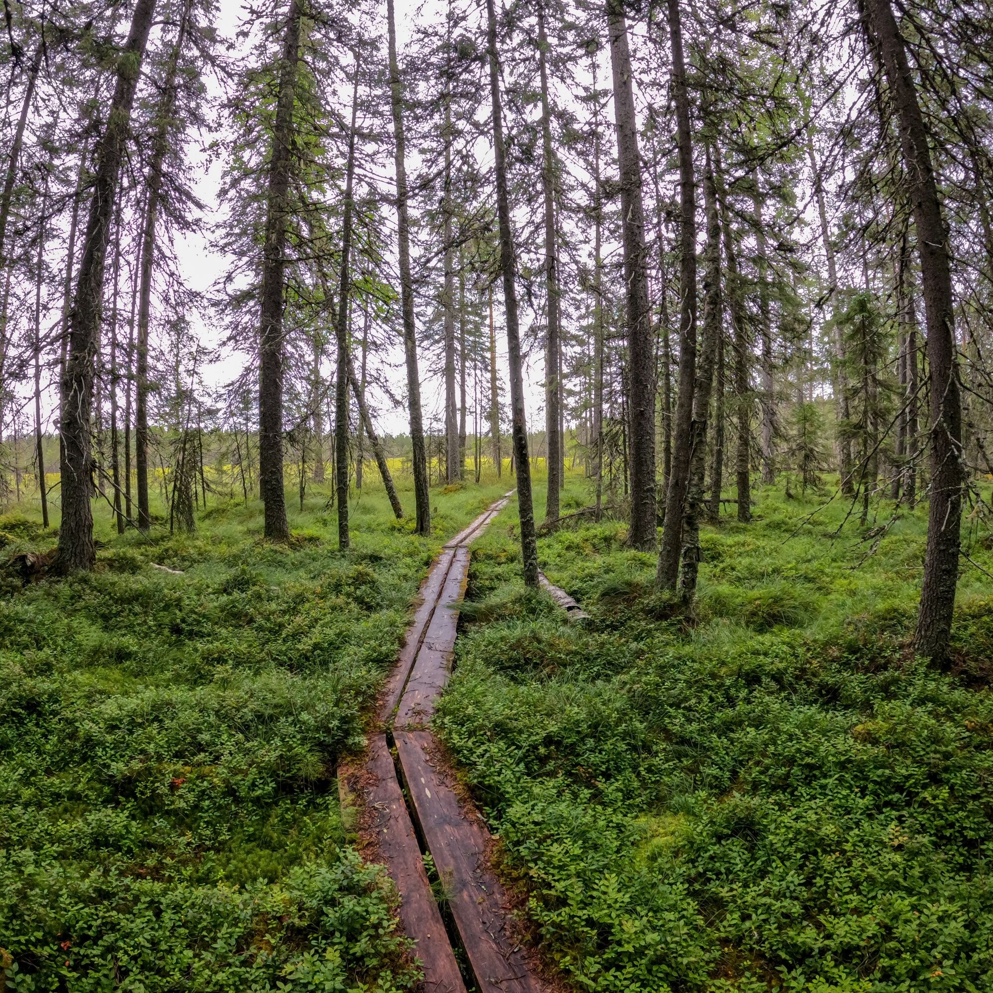
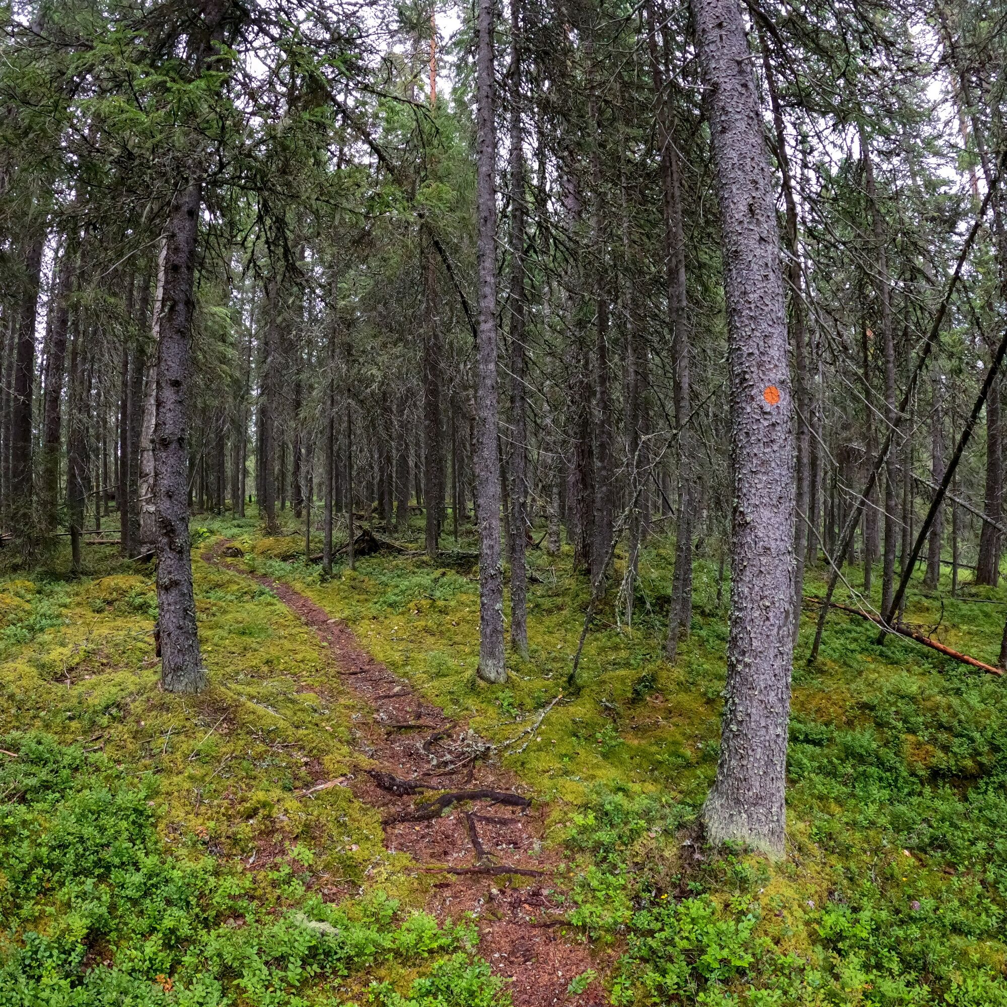
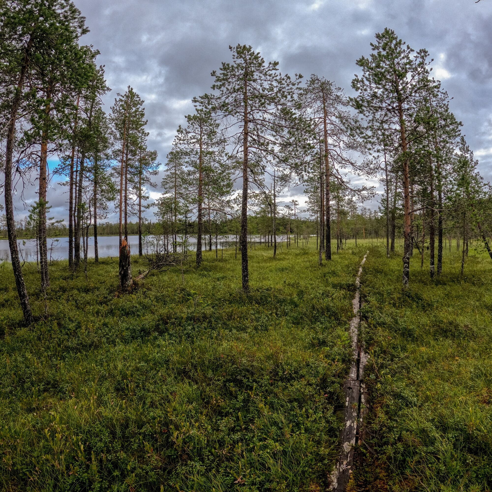
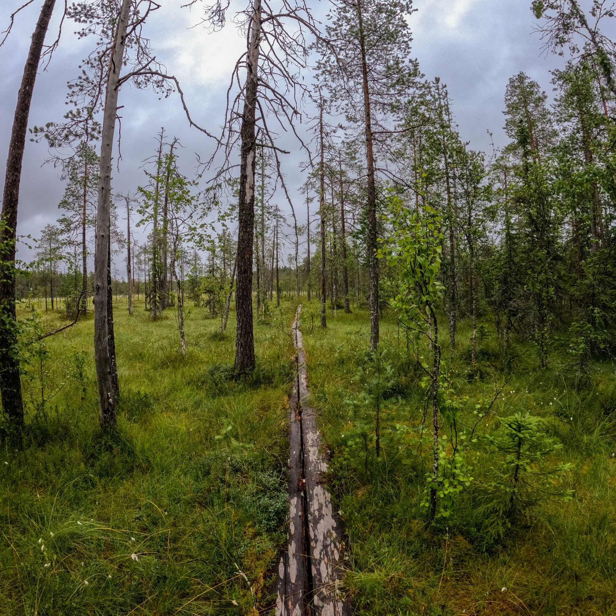

The beginning of the route passes through a natural spruce forest. After just under 1 km, you reach the first swamp areas. After 1.5 km, you arrive at the Riihilampi lean-to shelter. When approximately 2.2 km have been covered, the route branches - if you want to complete the entire loop, choose the left branch; if you want to continue along the shortest route to the Matalajärvi lean-to shelter, choose the right branch. The route via the left branch leads to the edges of Nahkasuo. After 4.8 km, the path merges back with the path leading to the Matalajärvi lean-to shelter - choose the right branch if you want to continue to the Matalajärvi lean-to shelter. The distance from the junction to the Matalajärvi lean-to shelter is 1.2 km. The Matalajärvi lean-to shelter is located at the end point of the route, about 6 km from the start. The route returns along the same path/you can choose whether to take the additional loop through Nahkasuo or the shortest route back to the starting point.
Clothing suitable for the weather.
Sturdy, waterproof hiking boots or boots.
Bring drinks and snacks, as there are no services along the route.
It is also advisable to bring a first aid kit.
If you encounter an emergency on your hike, such as getting lost, injured, or spotting a wildfire, call 112 and make an emergency report.
Set off driving from Hyrynsalmi church village along road 5 towards Kajaani. Drive 1.5 km, then turn left onto Kuhmontie. Drive 24.6 km on Kuhmontie, then turn left onto Moisiovaarantie. Drive 8.2 km on Moisiovaarantie, then turn right onto Kekkostie. Drive 12.7 km on Kekkostie, then turn left onto Mäntylammentie. Drive 4.9 km, then continue left on Mäntylammentie and drive 1.7 km until you turn left onto Nahkasuontie. After 1.1 km, turn right to stay on Nahkasuontie. The starting point of the route is on the right side of the road, clearly visible.
No public transport.
Free parking.
A beautiful and versatile route - the Riihilampi lean-to shelter is a pleasant distance from the starting point and the route itself is suitable for a nice day trip.

Pěší turistika a stopování


Nenechte si ujít nabídky a inspiraci pro vaši příští dovolenou
Vaše e-mailová adresa byl přidán do poštovního seznamu.


