



Paddling to Lammasjärvi Honkinen 12/24 km, Kuhmo

Úroveň obtížnosti: 3
Lammasjärvi is a long lake oriented southeast to northwest, located in the middle of Kuhmo. The northwest part, north of Kuhmo center, is more fragmented, consisting of several smaller open waters. In...
Lammasjärvi is a long lake oriented southeast to northwest, located in the middle of Kuhmo. The northwest part, north of Kuhmo center, is more fragmented, consisting of several smaller open waters. In contrast, the northwest part forms a long continuous lake basin.
In the middle of the long stretch of Lammasjärvi is the elongated Honkinen island. The island has an excellent resting spot, the Honkinen kota, which serves hikers year-round. The site is also suitable for overnight trips with accommodation.
Honkinen island is about 12 kilometers by water from Kuhmo center and about 6 kilometers from the shore of Kalevala. The round-trip route length is about 24 km.
An alternative starting point for the route is at the shore of Kalevala, behind the Winter War Museum at the guest boat dock.
Along the route, Hotel Kalevala on the shore also offers restaurant services.
The route is suitable for paddlers with some experience but also for beginners or family trips in good summer weather.

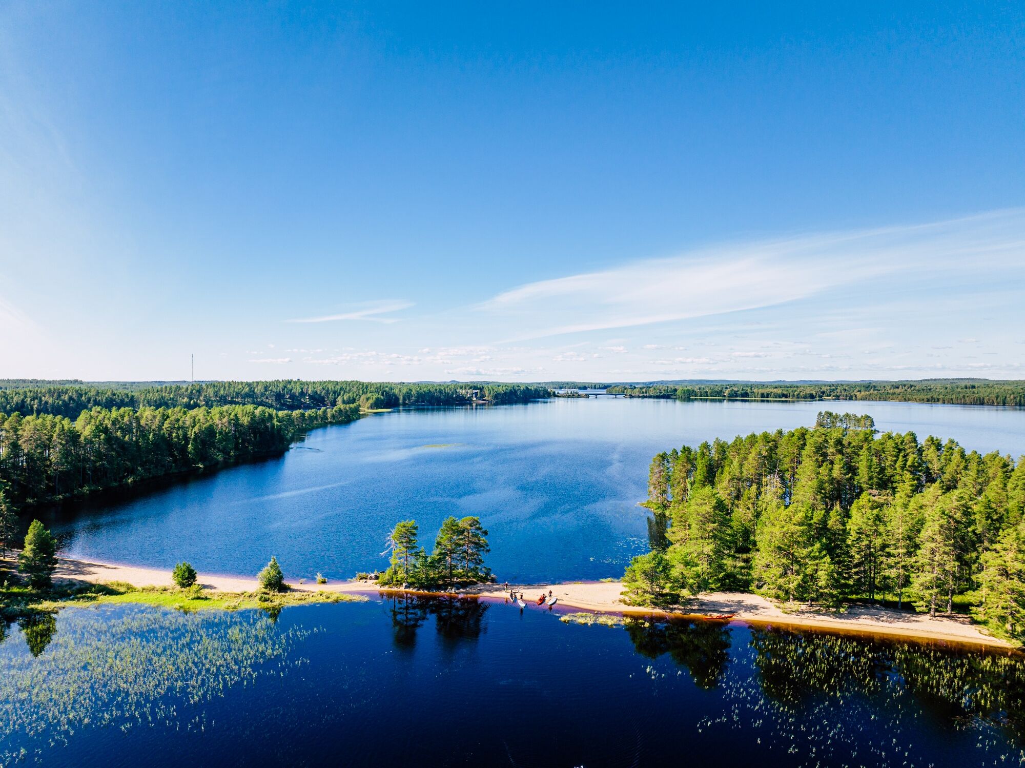
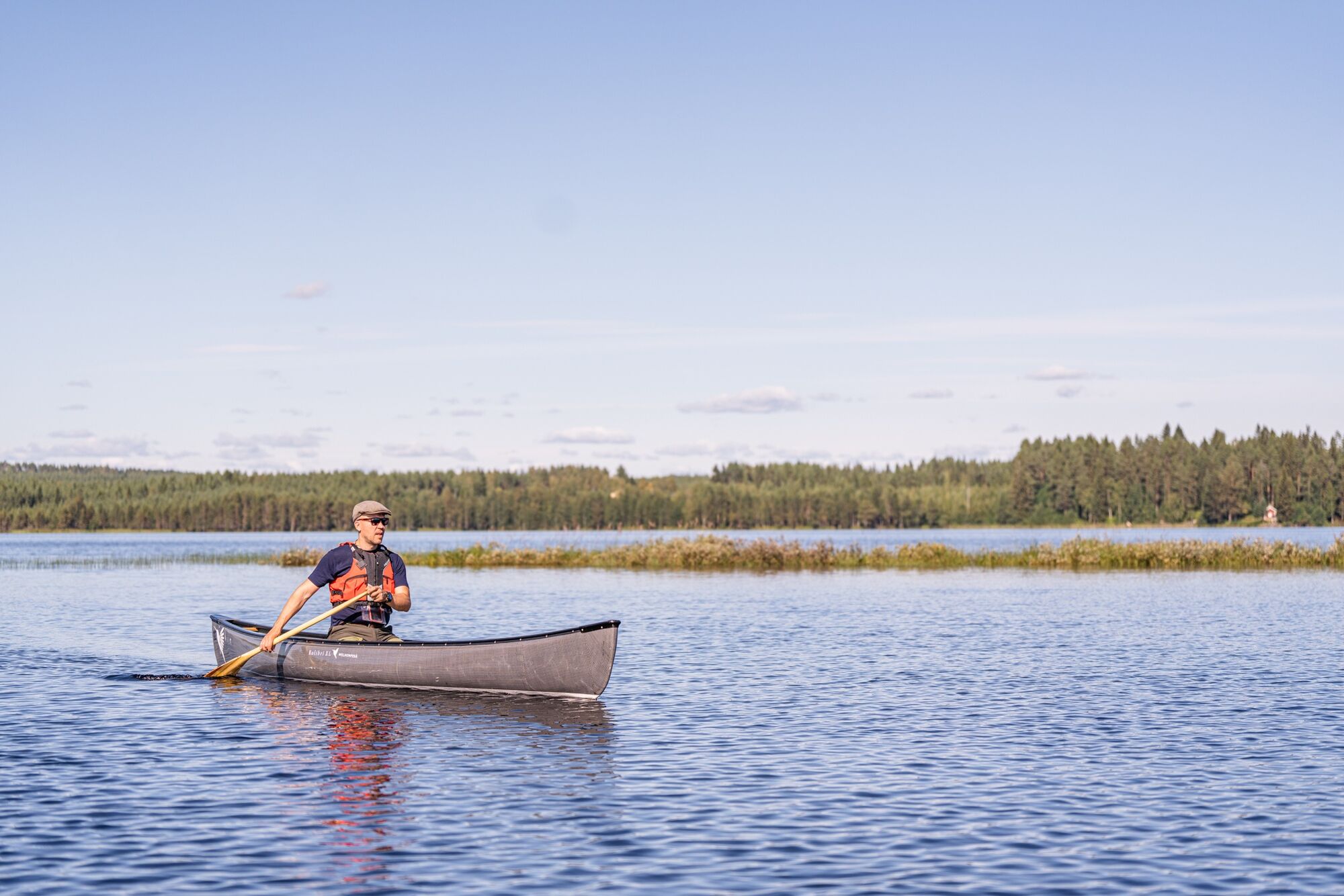
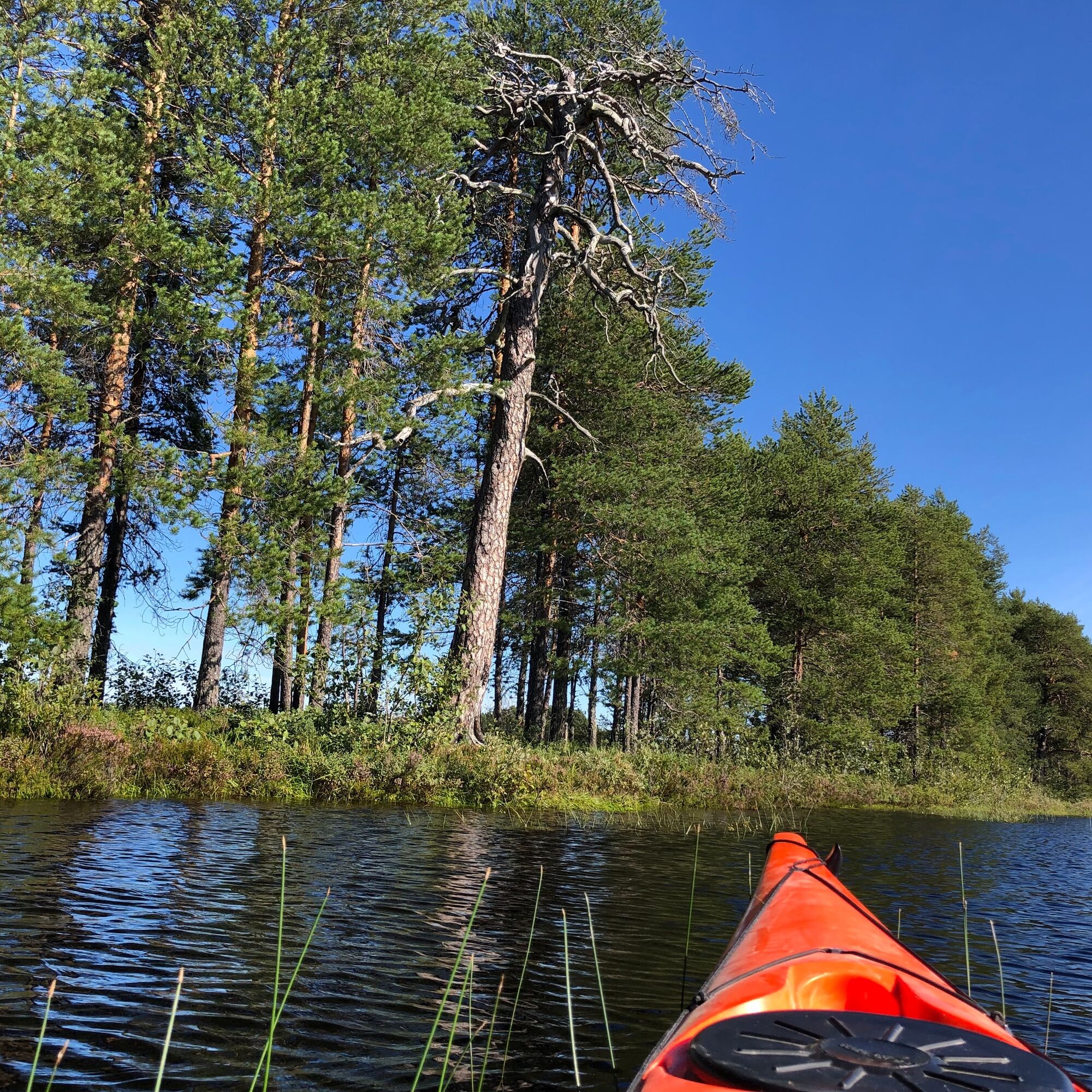
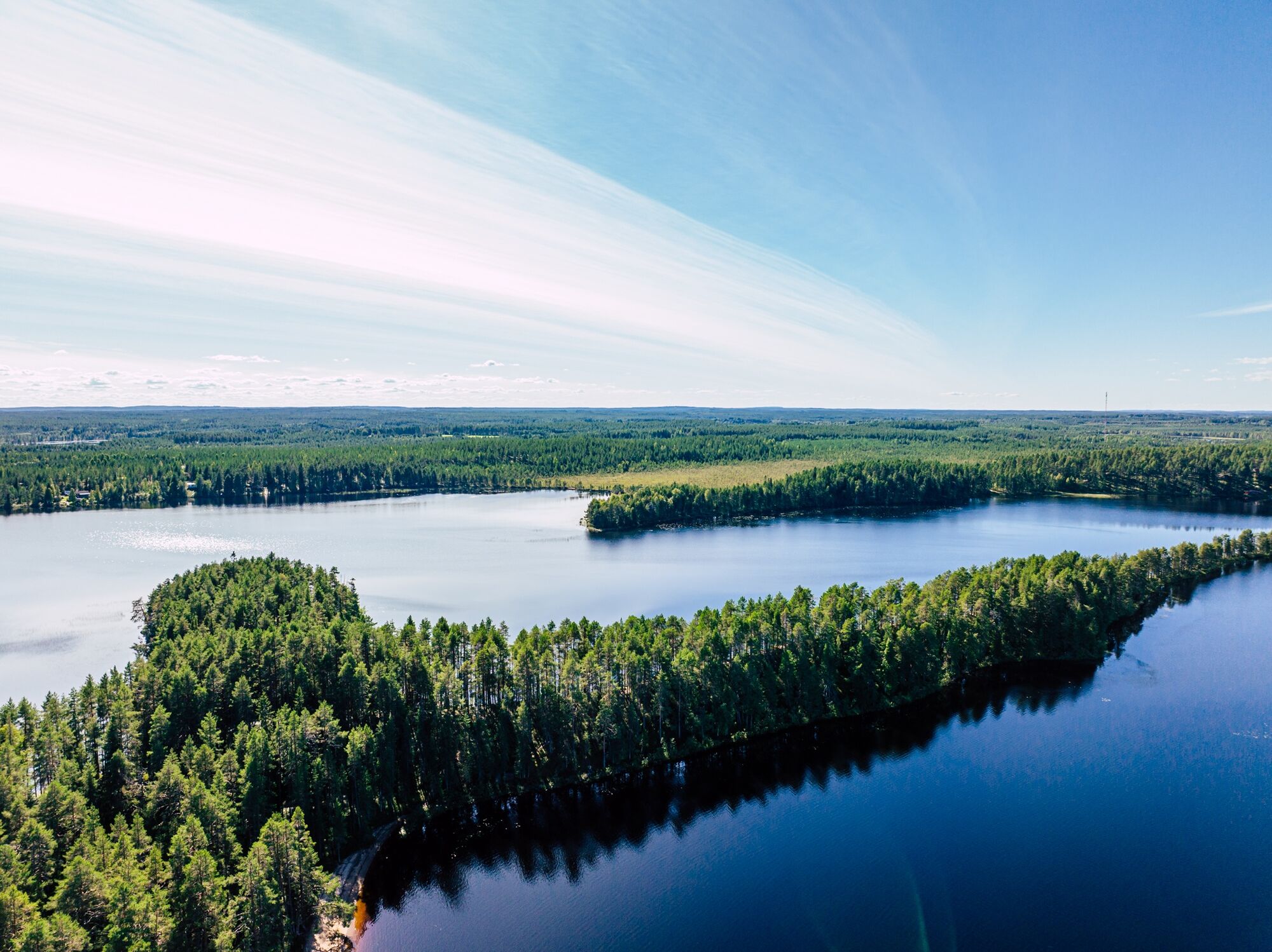
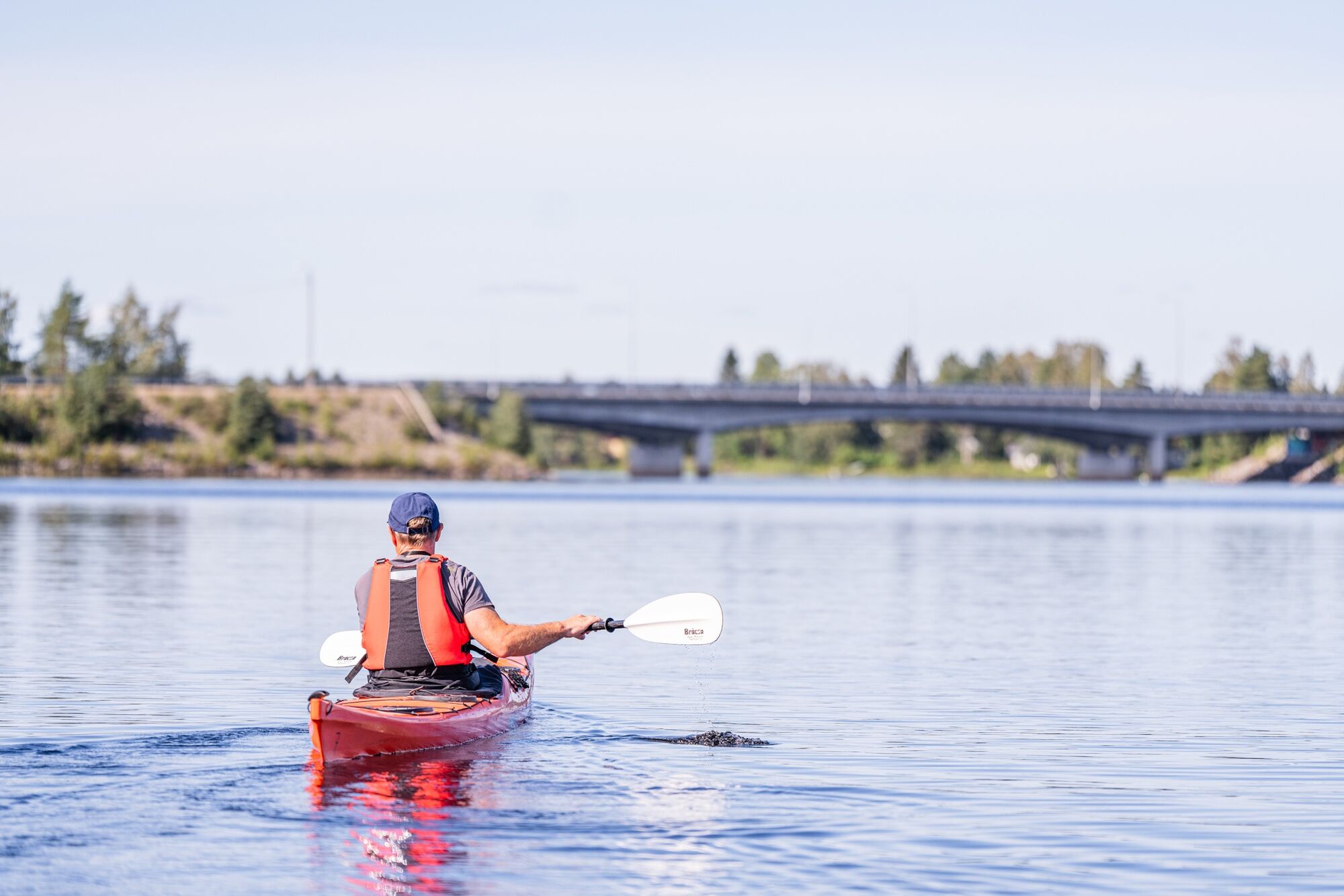
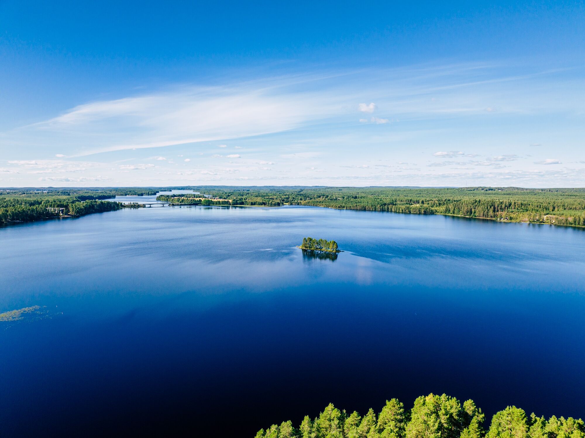

The route starts from the paddling dock at Maakunnan ranta in the center of Kuhmo. Head northeast and after Hankaranta, southeast. Follow the right-hand shore.
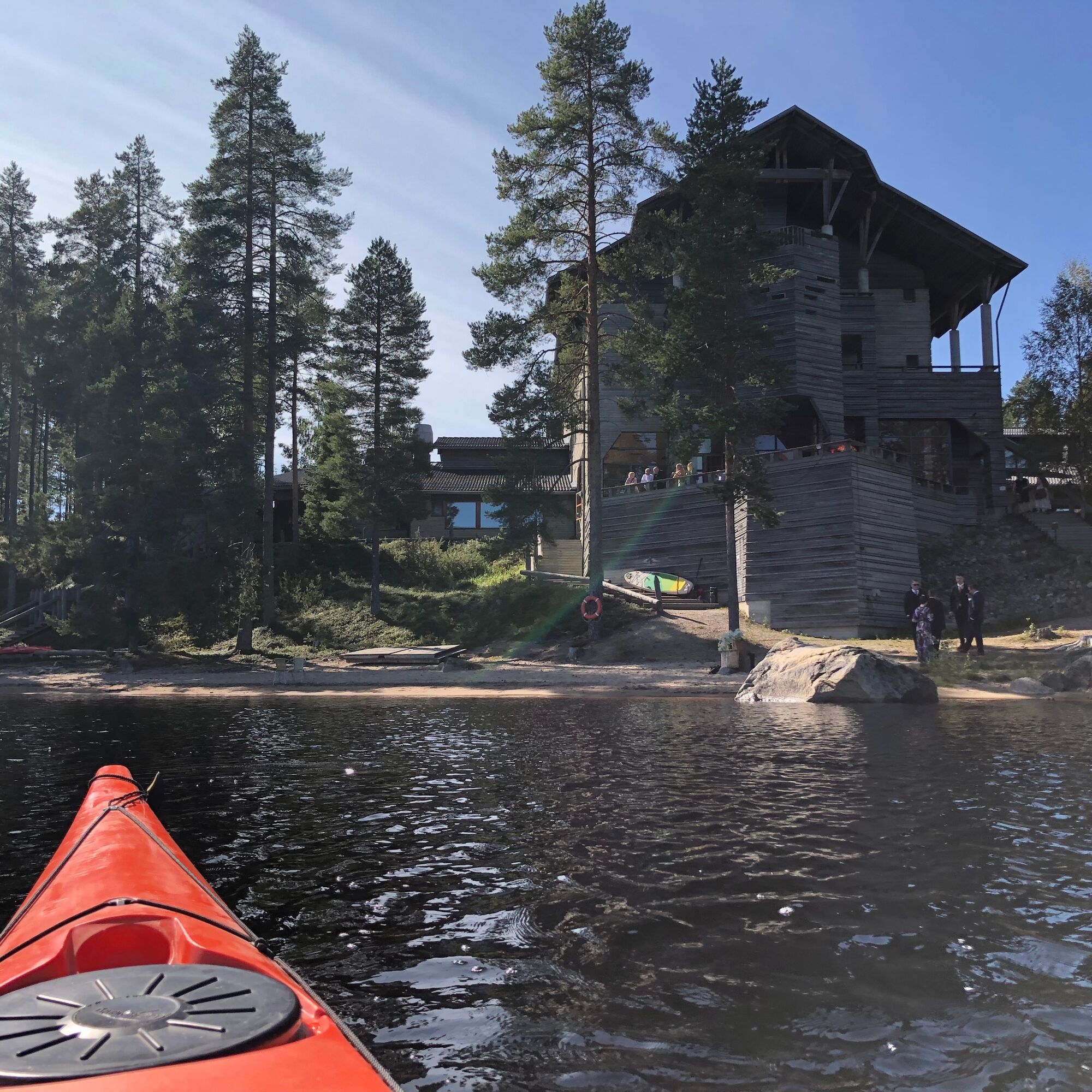
At Tönölänsalmi, pass under the Lentiirantie bridge and then ahead is the Kalevala area. Good landing spots include, for example, the sandy beach of Hotel Kalevala and shortly after at the Winter War Museum there is a guest boat dock that also has a paddling dock.
Just after Kelavalankangas is the sandy beach of Harakkasaari, which has a campfire site.
After Harakkasaari, there is a slightly more open stretch of Lammasjärvi. Rönönsaari, Multisaari, Kansikko, and Huuskonsaari fortunately break up the more open water. You can choose which way to go around the islands depending on the wind.
After Häkkilänniemi, there are still Marjosaari and Lehtosaari before Honkinen. It is advisable to land from the north side, but landing from the south side is also possible.
Ano
Ano
Passable by canoe, kayak, and small boat. The route is shallow in many places far from the shore.
The route is suitable for paddlers with some experience but also for beginners or family trips in good summer weather.
Note that on the lake sections, there are wind-prone areas that can raise waves.
There may be some motorboat traffic in summer. Paddlers must give way to other water traffic.
Plan the paddling route according to your own skills. On lake sections, paddle close to the shore and check rapids beforehand from the shore.
Wear a life jacket while paddling and preferably paddle close to the shore.
Secure all equipment firmly to the canoe, preferably in a packing bag or container. Pack waterproof first aid supplies, spare clothes, matches, and phone with you.
It is safest to move on the water with a friend or group, especially if you do not know the water area.
Before the paddling trip, check the weather forecasts. Pay attention to the wind direction and strength on the open lake.
Bring spare clothes as well as snacks and drinks; there is no possibility to replenish along the route.
Take a phone with you packed waterproof.
If you get into trouble during your trip, call 112 and make an emergency call.
Runon ja Rajan road, main road 75 from Nurmes to Kuhmo. You can also get to Kuhmo via Kajaani, first highway 5 to Kajaani and then main road 76 to Kuhmo.
You can reach Kuhmo by bus from Kajaani via Vuokatti and Sotkamo.
Free parking next to the starting place.
3
Harakkasaari is a delightful resting spot halfway along the route. The island has a maintained campfire site. You can even take a swim there.
Oblíbené prohlídky v okolí
-
Harakkasaari SUP paddleboarding and kayaking route 3.5 km, Kuhmo
světloKajak / Kánoe 3.37 km -
Pajakkakoski rapid trail 1 km, demanding accessible, Kuhmo
světloTematická stezka 1.12 km -
Paddling from Maakunnanranta to Lentuankoski 8/16 km, Kuhmo
středníKajak / Kánoe 7.54 km -
Lentuankoski trail 0.8 km, accessible, Kuhmo
světloTematická stezka 0.77 km -
Kuhmo Lakeside trail 4.8 km, Kuhmo
světloTematická stezka 4.77 km -
Lauttavaara nature trail 2.5 km, Lentua
světloTematická stezka 2.27 km -
Jämäs paddling route 12 km, Kuhmo
heavyKajak / Kánoe 11.8 km -
Leskensaaren kierros paddling route 5 km, Kuhmo
světloKajak / Kánoe 5.04 km -
Petola nature trail 0,5 km, Kuhmo
světloTuristika 0.39 km -
Lieksa
Motorrad 362.1 km
Pěší turistika a stopování


Nenechte si ujít nabídky a inspiraci pro vaši příští dovolenou
Vaše e-mailová adresa byl přidán do poštovního seznamu.


