






WY_N15 Goderschach-Stranig-Goderschach
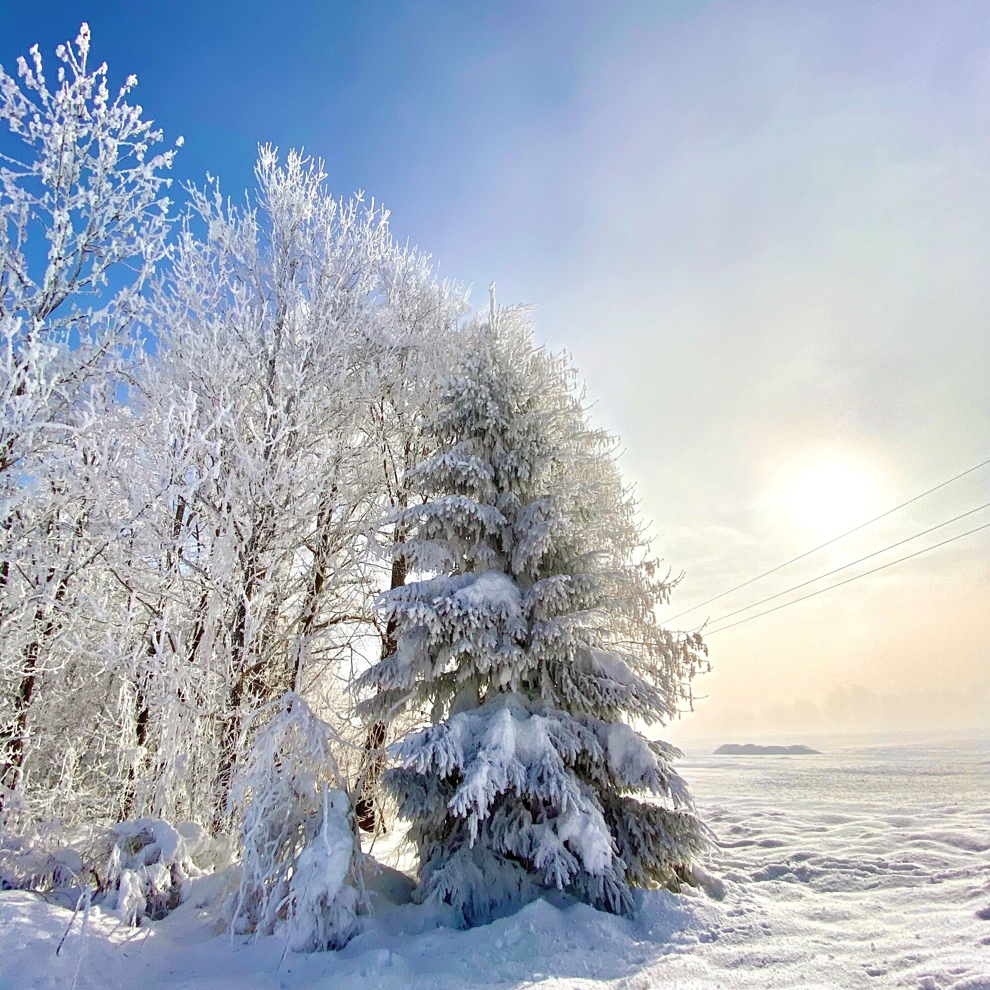
Sparkling winter landscapes, sunny sections of the route and an idyllic winter river landscape along the Gail await you on this cozy winter hike.


Your route starts the winter hike from the town center in Goderschach along the Schattseitenlandesstraße (downhill), along the forest edge towards Stranig.
Upon arriving at Stranig, turn left near the church. At this point, there are two options to turn left – you do not turn at a 90-degree angle left but rather in a north-northwesterly direction. Follow the route continuously to NNW (see track) until you reach the Gail. Here, follow the Gail dam to the left, upstream (towards Kötschach).
At the height of Goderschach, you come to a fork in the path just before a wooded area; here you turn right and return to Goderschach.
Ano
Awareness for nature – landowners – your health.... and safety on the mountain have top priority during your route and related route planning!
Therefore, check the rules of conduct before every winter hike - Safety on the mountain, as well as the current snow and avalanche report Avalanche warning service Carinthia and the weather situation.
Waste disposal:
Waste cannot always be avoided – but it has no place in nature and should be disposed of properly (preferably in the valley or at home).
Emergency numbers:
European emergency number: 112 (access on any available network)
Mountain rescue Austria: 140
From Hermagor via the B111 (Gailtal road) or from Oberdrauburg via the B110 (Plöckenpass road) to Kötschach-Mauthen and from there continuing on the B111 (Gailtal road) to Goderschach.
From Oberdrauburg or Hermagor, you then reach the town of Reisach by bus. Here, you change to the bus going to Goderschach.
Details at - Mobility info Nassfeld as well as Route planner Carinthian lines
Free parking is available in Goderschach (near the chapel).
You can find this and many more details at - Route tips
In the towns of the municipality Kirchbach, there are numerous year-round open refreshment options - details at Service A-Z
Získejte přehled
Vždy živě na místě s více než 9 500 webkamerami. bergfex Jako uživatel Pro si nyní můžete zobrazit odpovídající webové kamery pro mnoho prohlídek v aplikaci prohlídky z. Můžete si tak přímo prohlédnout aktuální podmínky.
Oblíbené prohlídky v okolí
-
4.8
RW_N9 Weißenbachklamm
středníTuristika 7.49 km -
4.7
W5 - Naggler Alm Round Weissensee
středníMountainbike 15.8 km -
4.9
Weißenbachklamm
heavyTuristika 5.80 km -
4.2
Malurch Nassfeld
středníTuristika 9.60 km -
4.6
ST_N7 Gartnerkofel (2,195 m)
Lyžařská trasa 3.94 km -
4.8
Weiße Wand - Alm hinterm Brunn
Mountainbike 22.1 km -
4.6
Bergstation Weißensee bis Golz
středníTuristika 14.8 km -
3.7
Hermagor: Gartnerkofel
Turistika 7.70 km -
4.5
KL_N2 Däumling
středníVia ferrata 1.78 km -
4.9
LS_W7 "Promenade Path"
světloBěh 6.28 km
Pěší turistika a stopování


Nenechte si ujít nabídky a inspiraci pro vaši příští dovolenou
Vaše e-mailová adresa byl přidán do poštovního seznamu.





