







Winter hiking Feistritz Moos
Úroveň obtížnosti: 1
From the village center of Feistritz an der Gail, the circular route on the Feistritz Moos can be started.
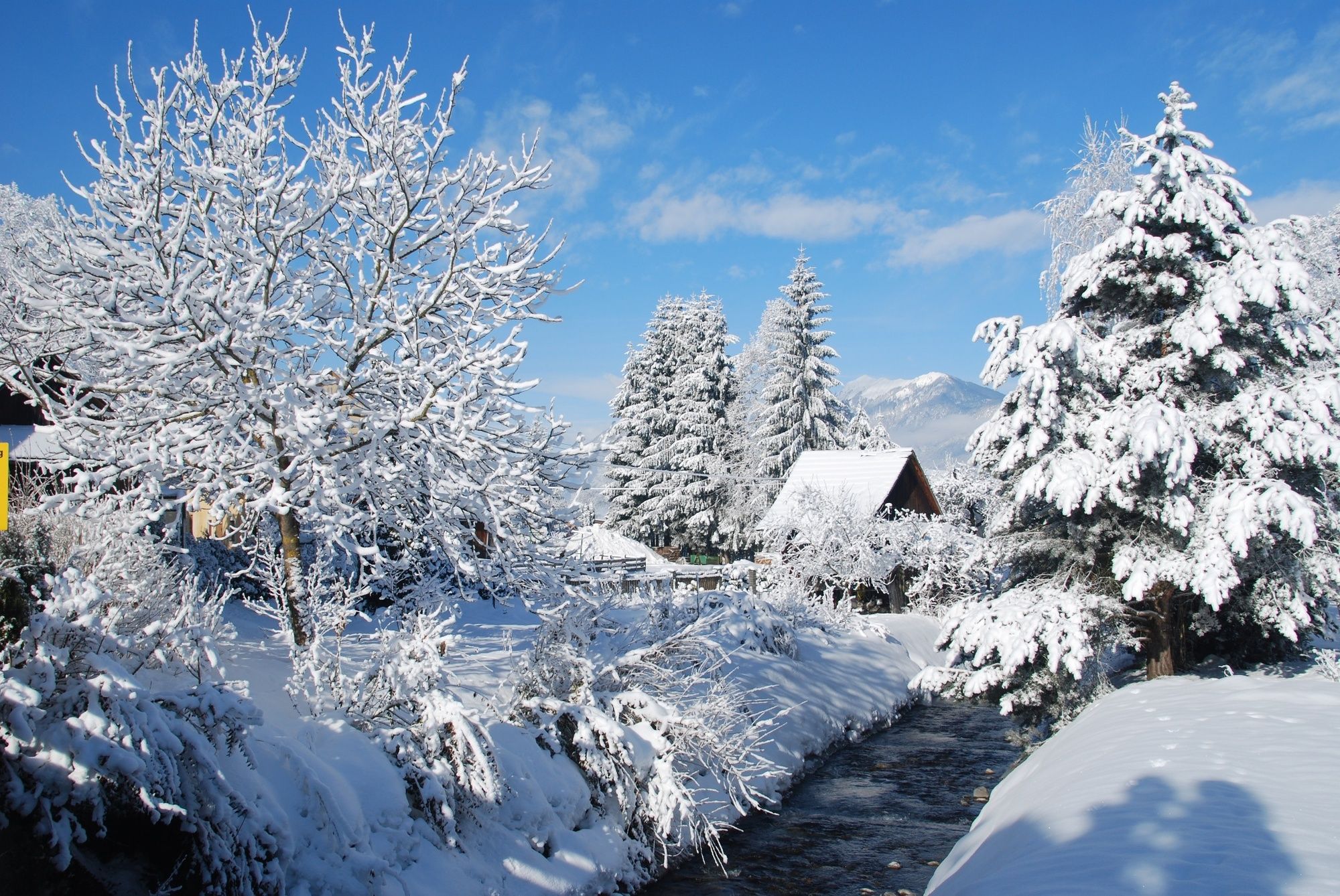
Beautiful winter landscape surrounded by mountains with views of the Dobratsch and the local mountain...
From the village center of Feistritz an der Gail, the circular route on the Feistritz Moos can be started.
Beautiful winter landscape surrounded by mountains with views of the Dobratsch and the local mountain Oisternig.
The circular route is suitable in both summer and winter to experience a unique landscape hike with views over the entire Gail valley.


Ano
Casual clothing
Gailtalzubringer - Feistritz an der Gail
Two bus stops directly in the village of Feistritz an der Gail are possible as starting points for the circular hike.
Public parking - Holzbau Wallner
Public parking - Municipal office / village square
1
Oblíbené prohlídky v okolí
-
4.6
Auf den Dobratsch mit der ganzen Familie
Turistika 8.40 km -
4.7
Jezera Fusine
světloTuristika 5.43 km -
4.9
Orrido dello Slizza, Tarvisio, Italië
světloTuristika 2.65 km -
4.5
Gailtaler Alpen: Wanderung auf der Dobratsch
středníTuristika 8.50 km -
4.5
Monte Lussari
středníLyžařská trasa 10.7 km -
4.5
Monte Lussari über den alten Pilgerweg
středníTuristika 6.43 km -
4.7
Weißenfelser Seen: Fusine in Valromana - Ai Sette Nani - Seealm
středníTuristika 10.3 km -
4.2
Monte Santo di Lussari, Skitour, Pilgerweg
středníLyžařská trasa 9.35 km -
4.2
Slow Trail Pressegger See RW_N16
světloTuristika 5.78 km -
3.9
Dobratsch über den Jägersteig
Turistika 4.30 km
Pěší turistika a stopování


Nenechte si ujít nabídky a inspiraci pro vaši příští dovolenou
Vaše e-mailová adresa byl přidán do poštovního seznamu.





