







Circular hike Apriacher alpine pastures
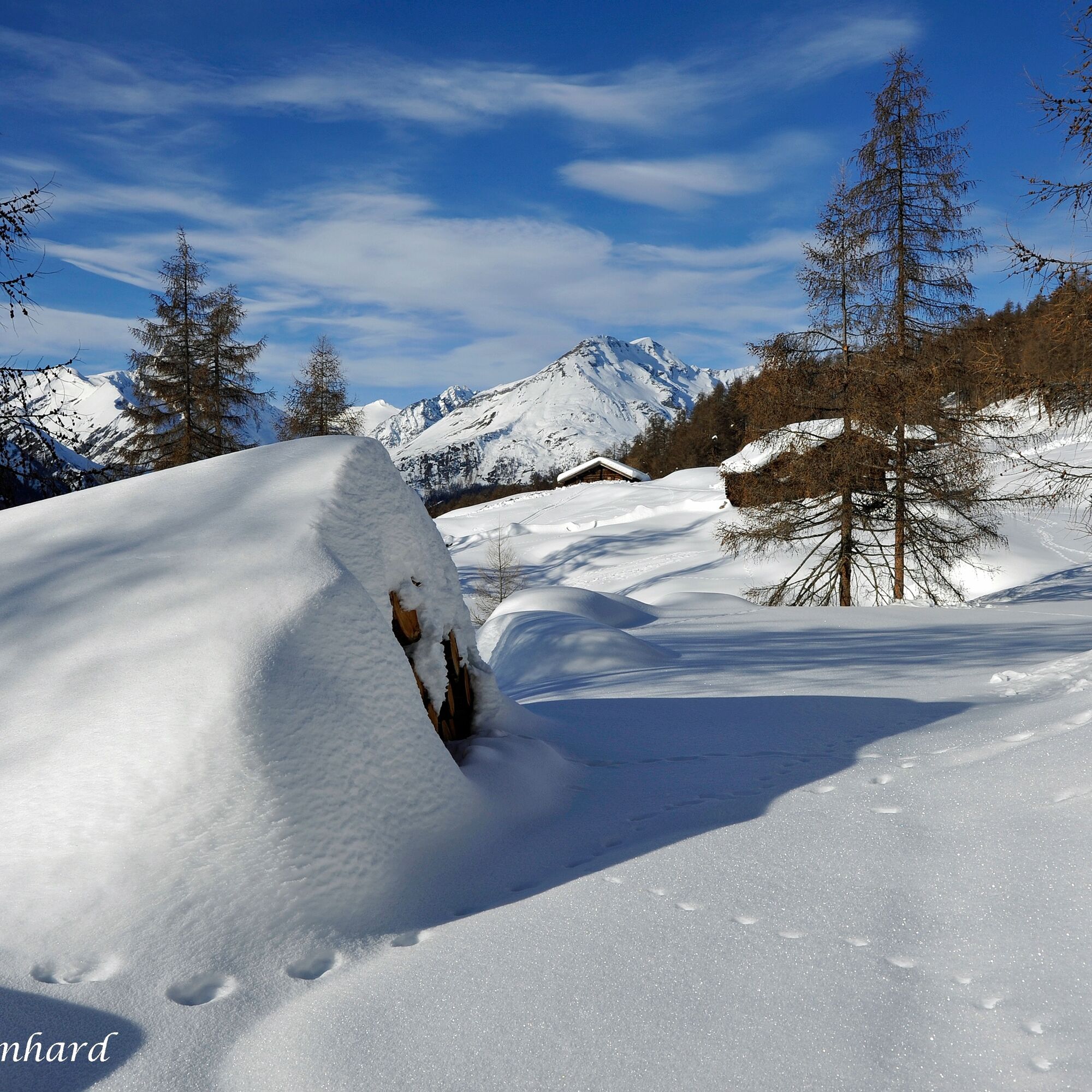
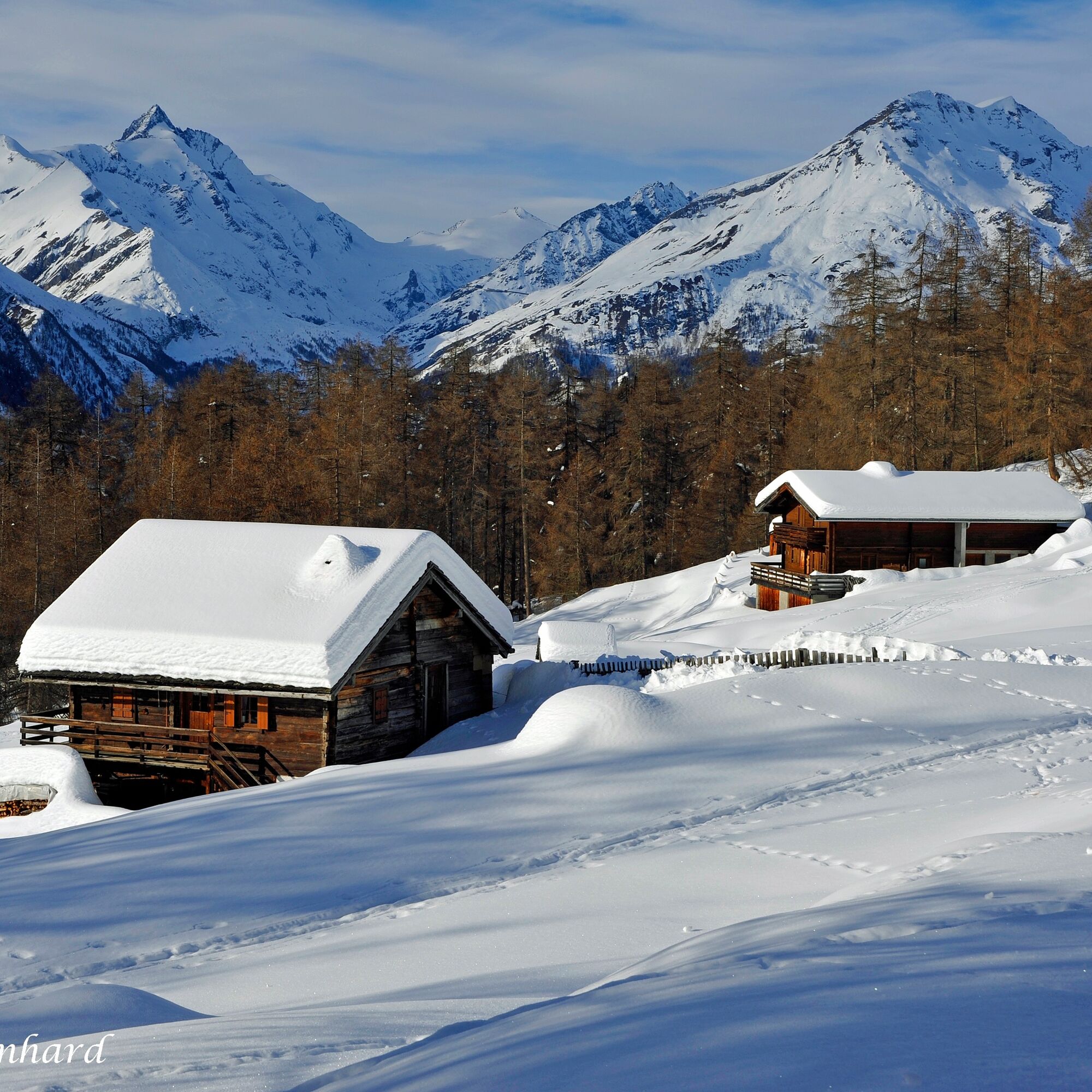
The alpine village Apriach is located above Heiligenblut and offers wonderful views. A true winter wonderland awaits you here.
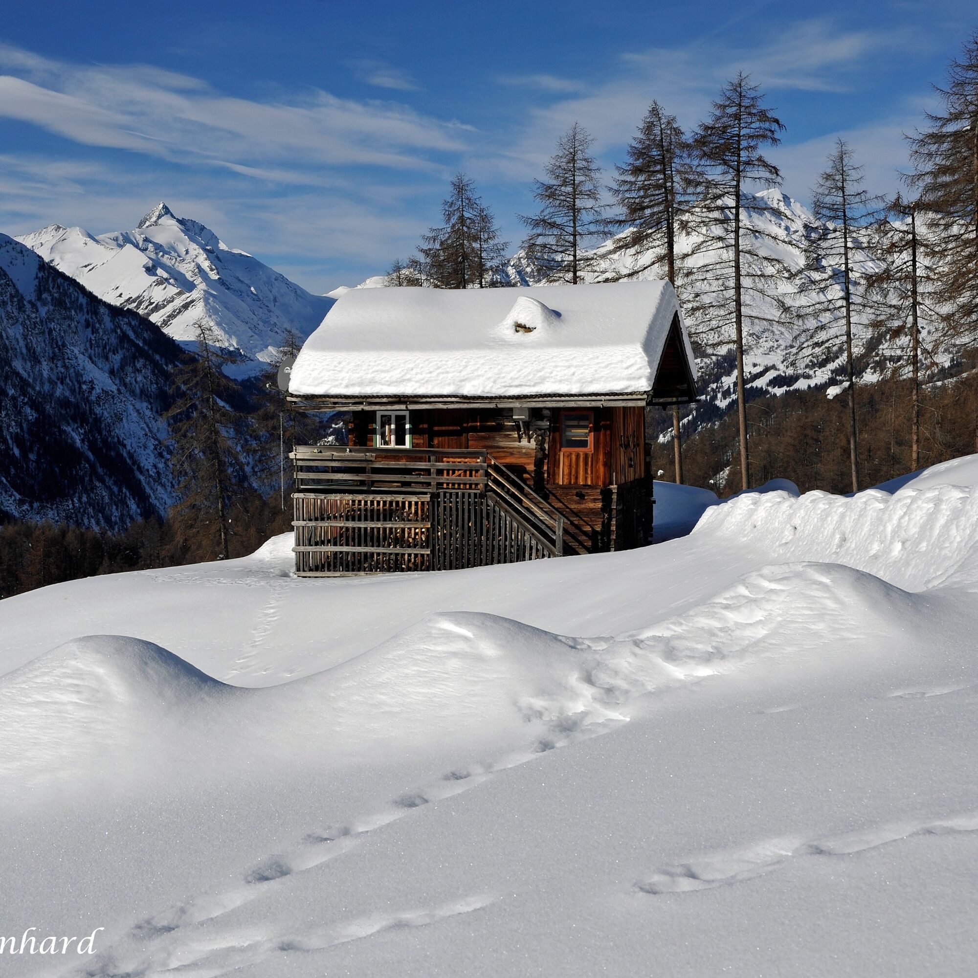
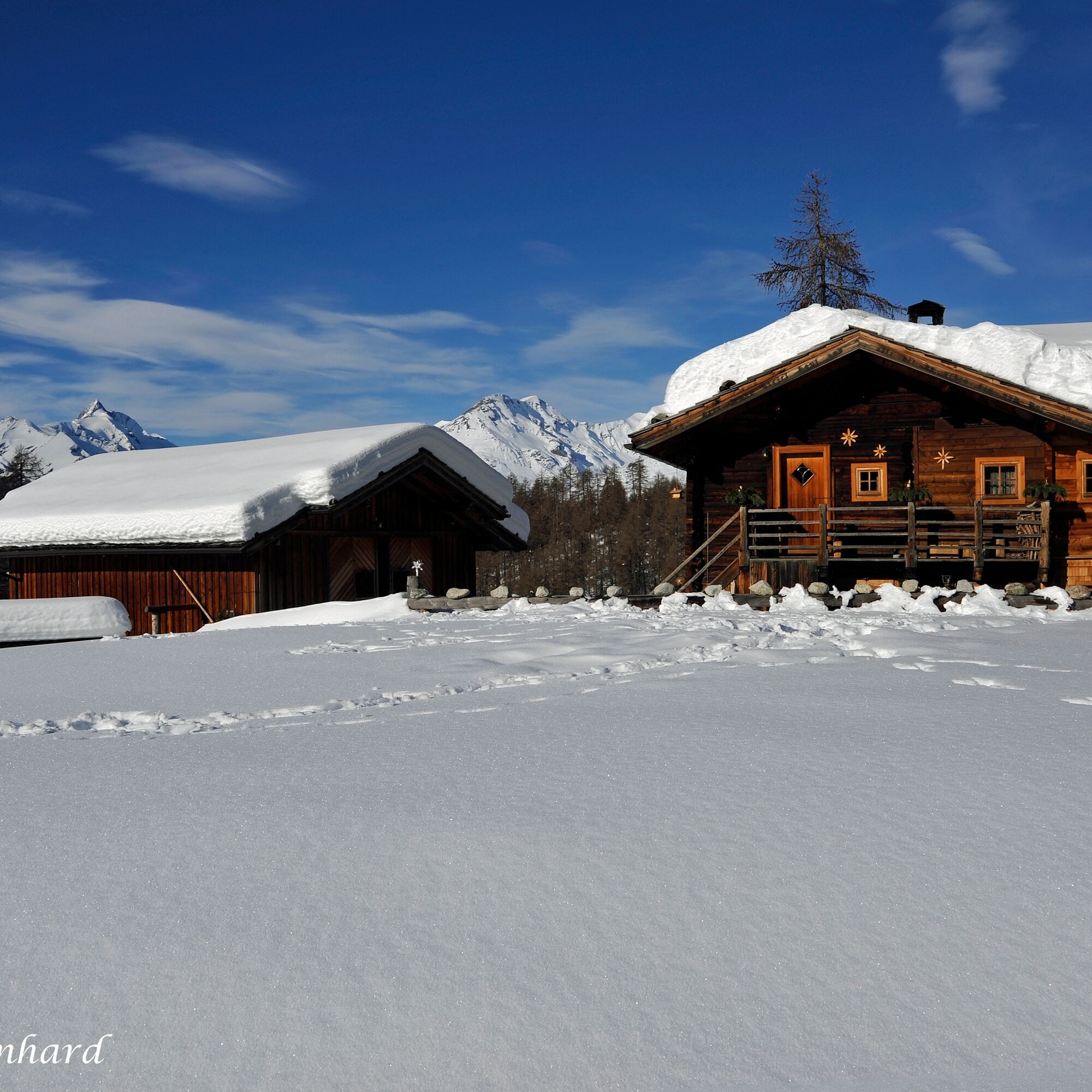
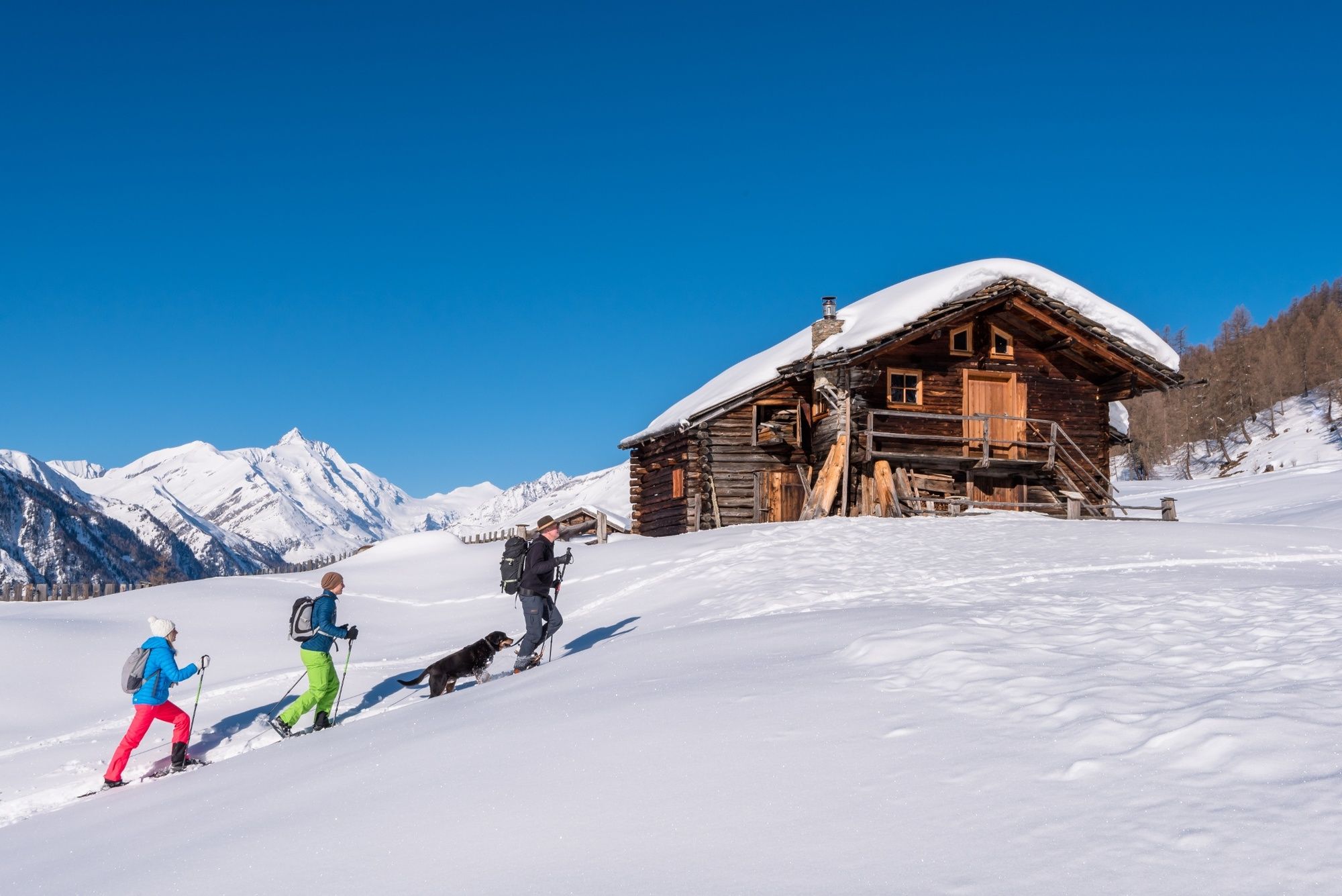
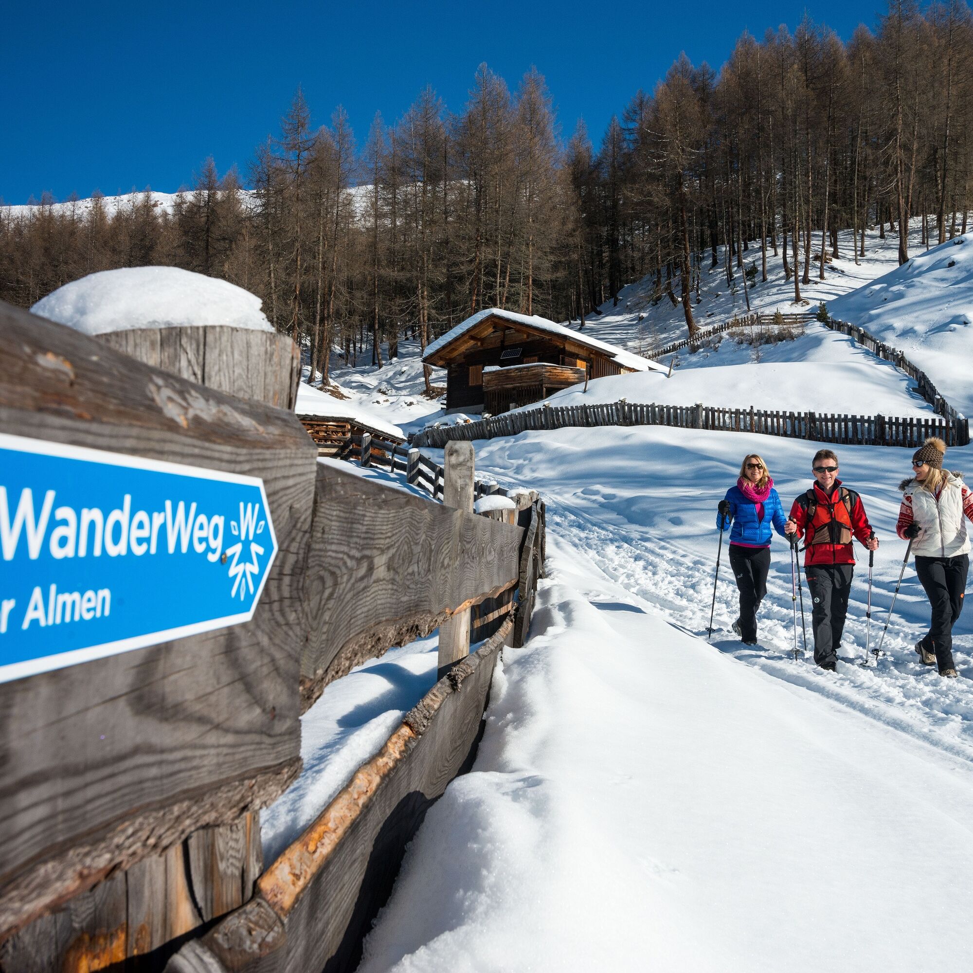
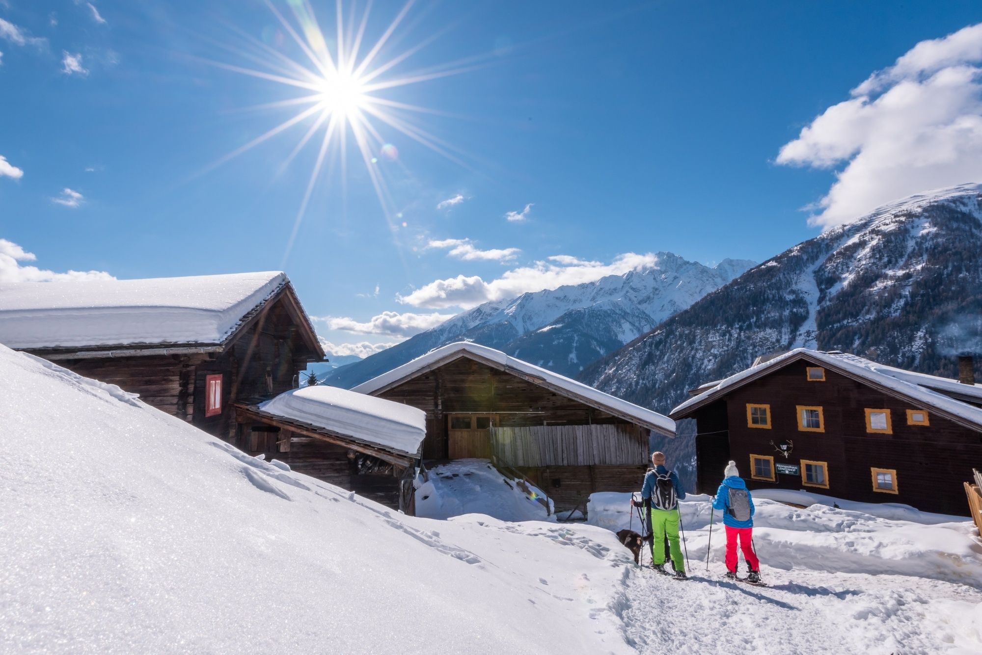

The starting point of the route is in Apriach directly at the parking lot in front of the former primary school. Here at the parking lot you will also find a national park information board.
On foot, follow the road downhill along the valley. After about 150m (at the first intersection) turn left towards Malig. Before the farmhouses, follow the forestry road to the left. Follow this forestry road for about 1.5 hours until you reach the Apriacher Kasern. At forks, always keep right.
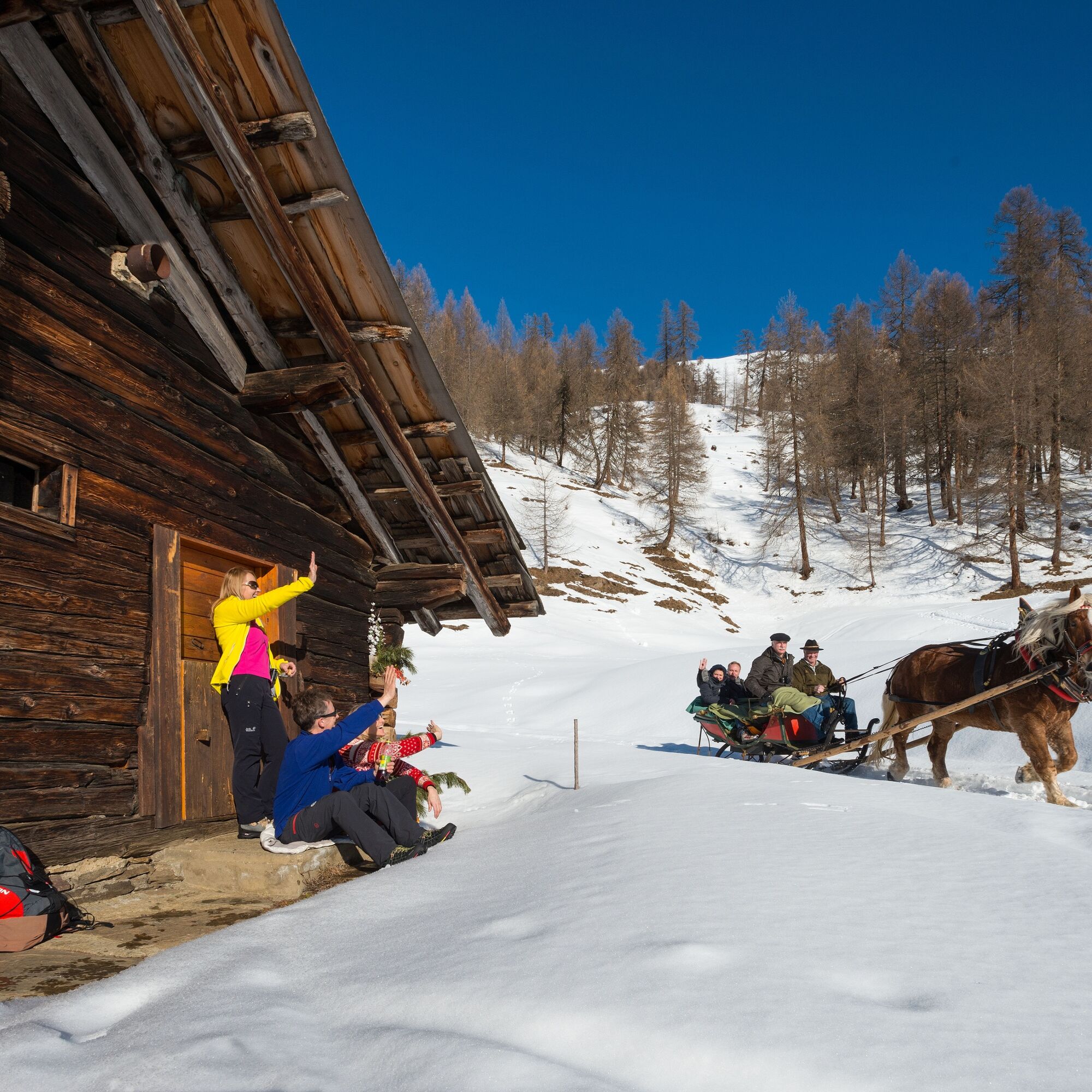
From the alpine village Apriach, follow the horse-drawn sleigh tracks. As soon as you reach the next alpine village (Inneren Apriacher Kasern), there are 2 options:
Circular route:
If you keep left here and follow the marking downhill, you will pass a small pond, then cross a bridge; after about 250m you will be on the return loop and come back onto the forestry road.
or
Panoramic view:
From the Inneren Apriacher Kasern, continue to follow the horse-drawn sleigh tracks (not a cleared winter hiking trail) to the horse turnaround, which is also the panoramic viewpoint. From here, go straight back to the junction of the circular route.
Ano
Sturdy footwear, possibly spikes/crampons (available at sports shops).
Snowshoes are recommended for the descent variant towards Lenzerhof.
Use of the winter hiking trail is at your own risk!
Emergency number: 140 (mountain rescue)
Taxi Fleißner phone number: +43 664 3836 311
From Heiligenblut along the Großglockner High Alpine Road to the Fleißkehre, turn right there and follow the state road to Apriach.
By postbus from Winklern to the valley station of the Grossglockner cable cars (winter sports enthusiasts can use the ski buses free of charge) | From Heiligenblut center by (paid) taxi Fleißner to Apriach.
Registrations at +43 664 3836311
Parking lot in front of the former primary school in Apriach, below the famous stock mills.
Respect your limits! 5 rules for responsible snowshoeing or ski touring:
Where available, stay on marked routes; pay close attention to information boards as well as protected, conservation, and restricted areas. Consideration for wildlife: avoid feeding sites and immediately and quietly retreat if you see an animal. Avoid young tree plantations (under three meters); ski edges can cause severe damage to the trees. Do not leave any waste behind. Avoid noise.The Wallner family offers horse-drawn sleigh rides with their Noriker horses when there is sufficient snow.
Information and registration: +43 664 1221890
 Získejte přehled
Vždy živě na místě s více než 9 500 webkamerami. bergfex Jako uživatel Pro si nyní můžete zobrazit odpovídající webové kamery pro mnoho prohlídek v aplikaci prohlídky z. Můžete si tak přímo prohlédnout aktuální podmínky.
Získejte přehled
Vždy živě na místě s více než 9 500 webkamerami. bergfex Jako uživatel Pro si nyní můžete zobrazit odpovídající webové kamery pro mnoho prohlídek v aplikaci prohlídky z. Můžete si tak přímo prohlédnout aktuální podmínky.
Oblíbené prohlídky v okolí
-
4.9
Wangennitzsee Hütte
středníTuristika 3.80 km -
4.7
Geotrail Tauernfenster
světloTuristika 5.90 km -
5.0
Silberpfennig, Salzburger Land/Österreich
středníTuristika 13.8 km -
4.8
Hohe Sonnblick Up
heavyTuristika 9.14 km -
4.7
Glödis 3206m: PP Seichenbrunn, Lienzer Hütte, Glödis KS A/B
heavyVysokohorská turistika 16.1 km -
4.1
Glacier Route to the Pasterze with Gamsgrubenweg (up to Tunnel 6)
středníTuristika 8.05 km -
4.5
Niedersachsenhaus
středníTuristika 4.84 km -
4.2
Böses Weibele, 3119m, Lucknerhaus
heavyTuristika 13.8 km -
4.9
Kaiser-Franz-Josefs-Höhe to Oberwalderhütte
heavyTuristika 5.52 km -
4.9
Schareck über Ostgrat
heavyVysokohorská turistika 13.3 km
Pěší turistika a stopování


Nenechte si ujít nabídky a inspiraci pro vaši příští dovolenou
Vaše e-mailová adresa byl přidán do poštovního seznamu.





