







Kohlmaierhütte - Alplsee
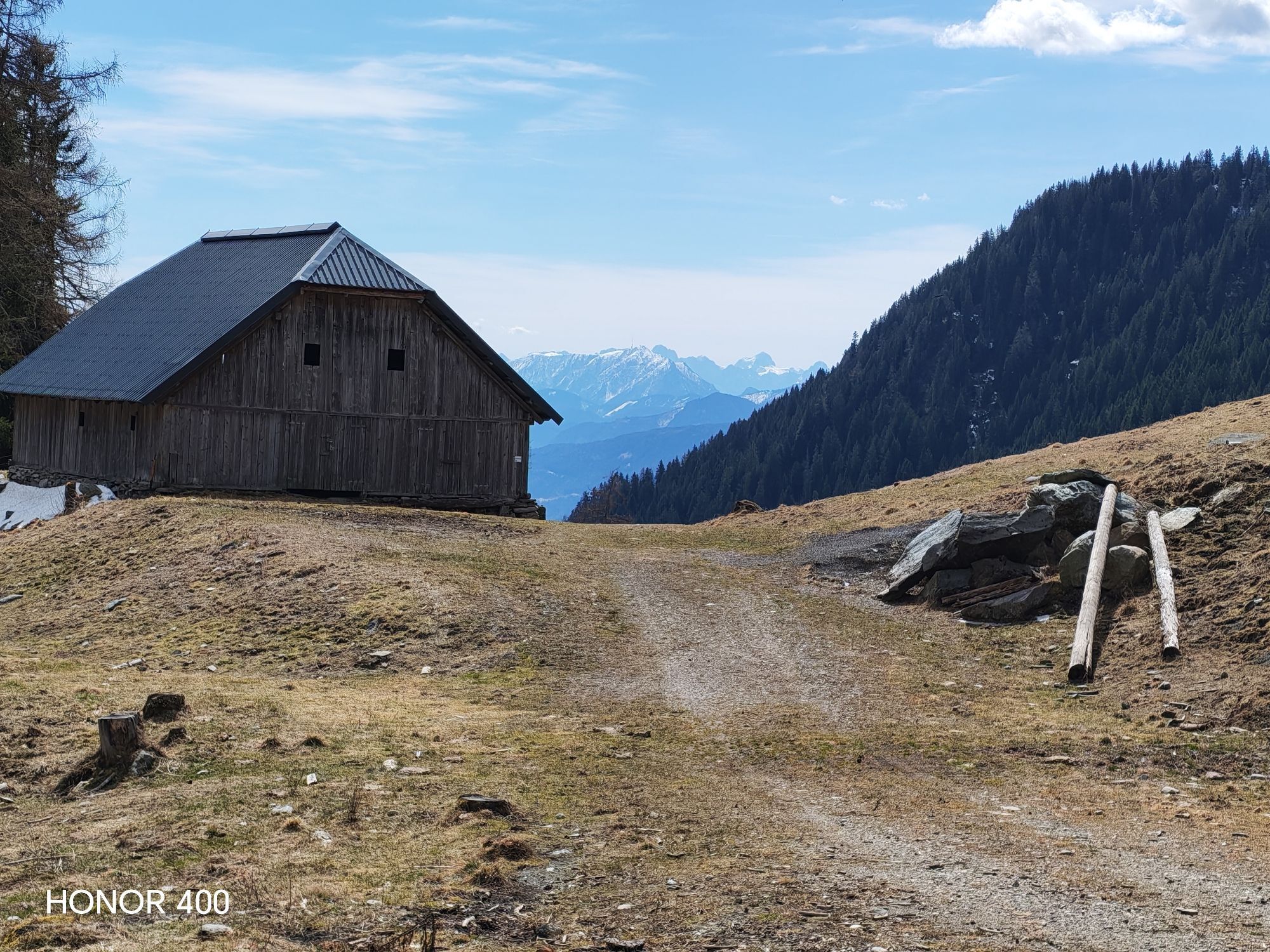
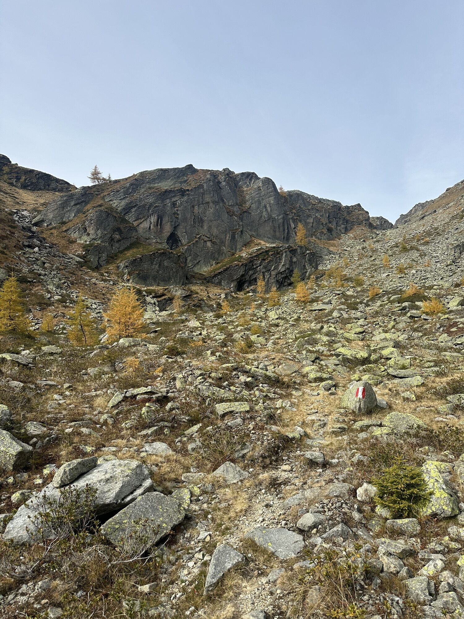
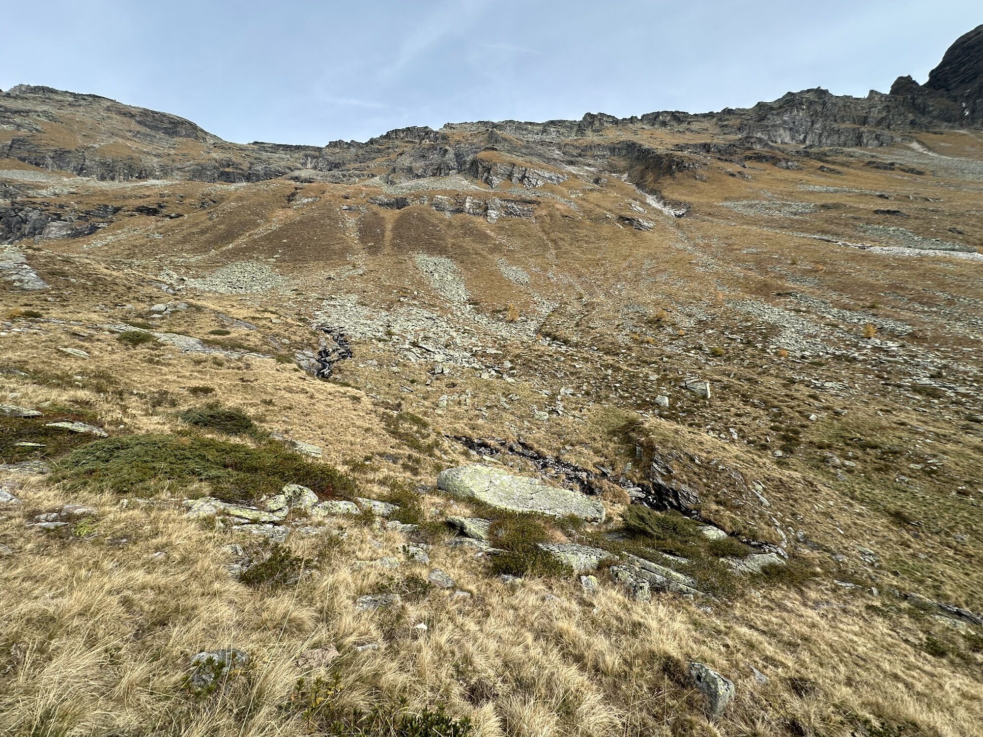
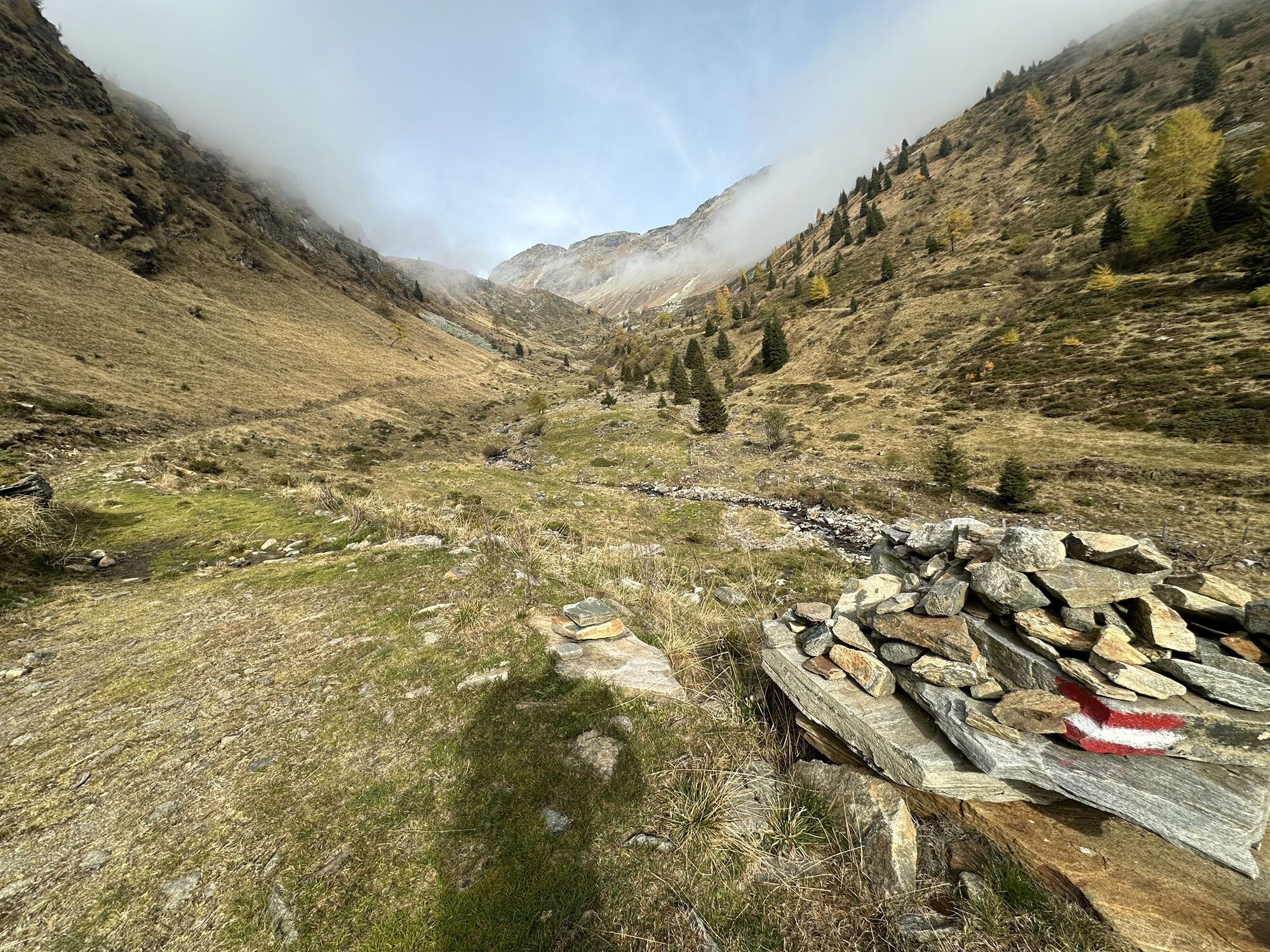
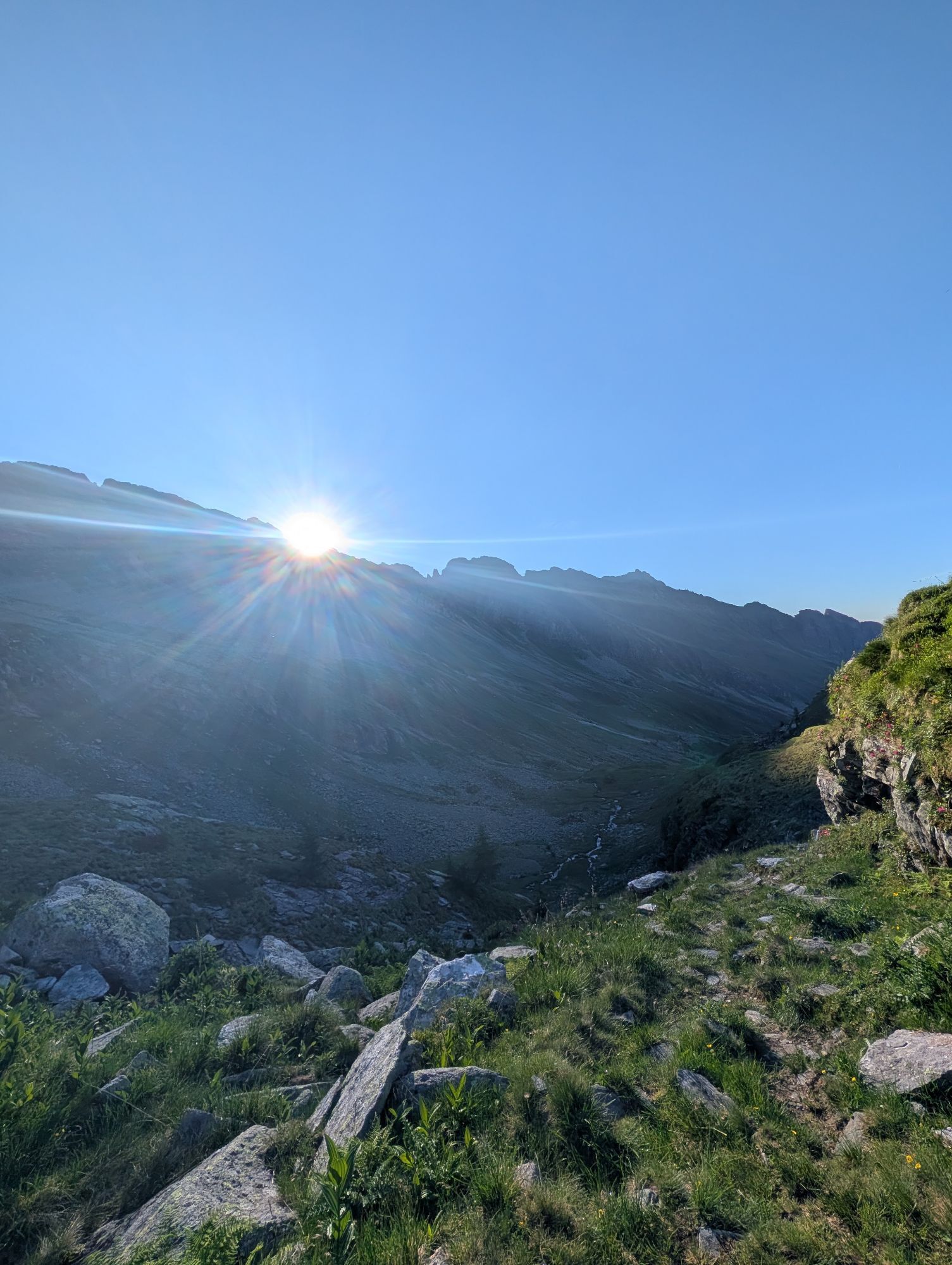
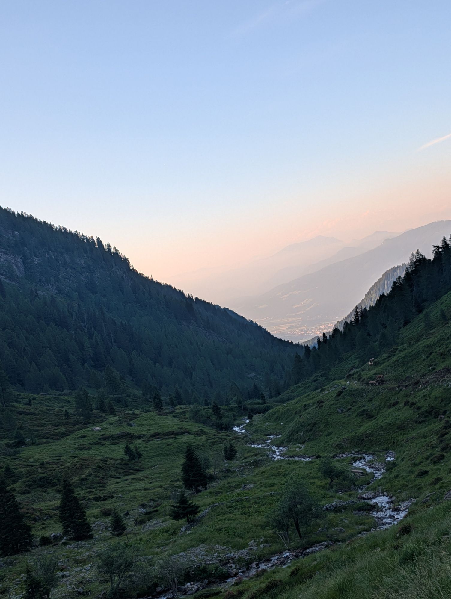
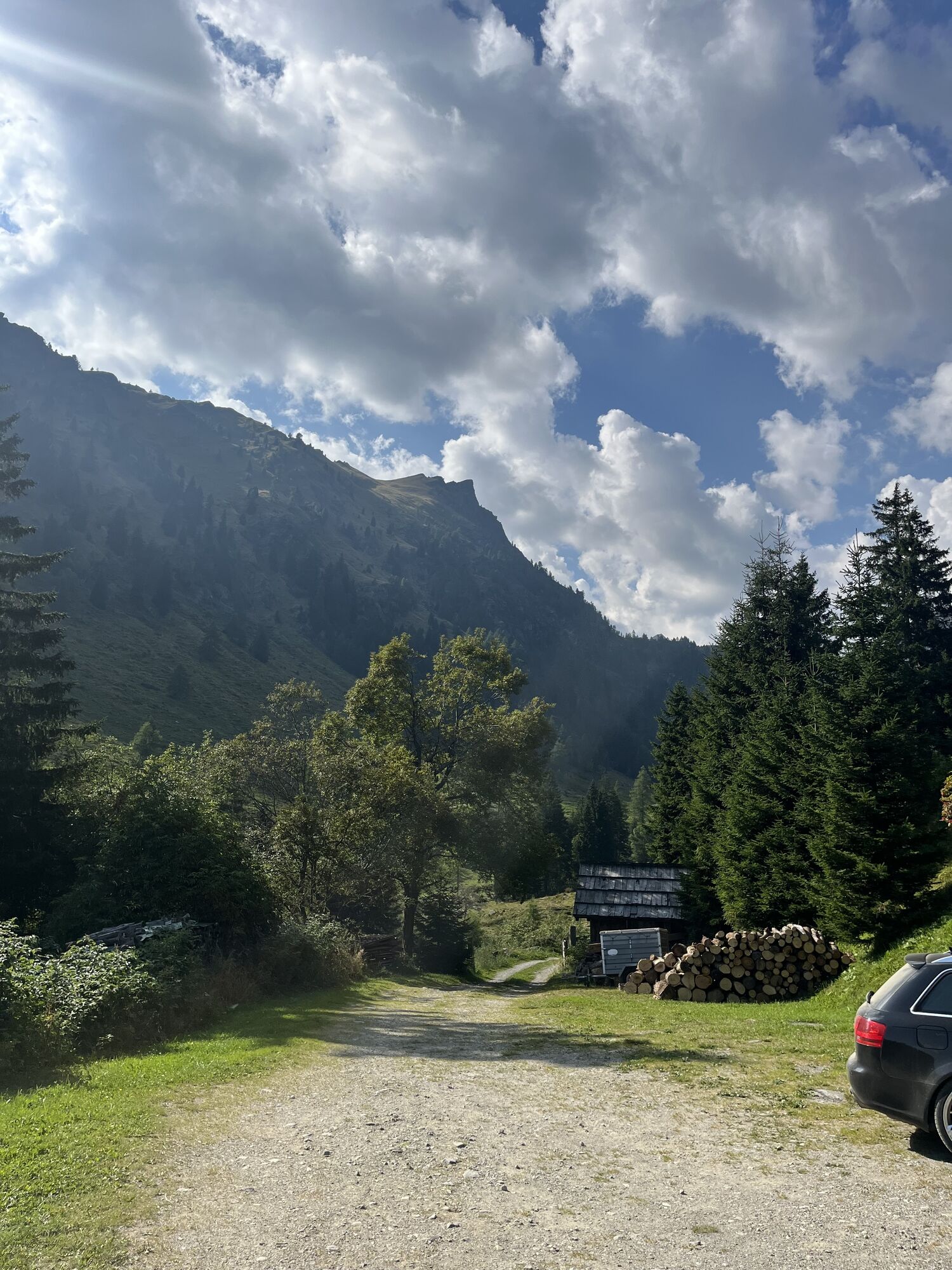
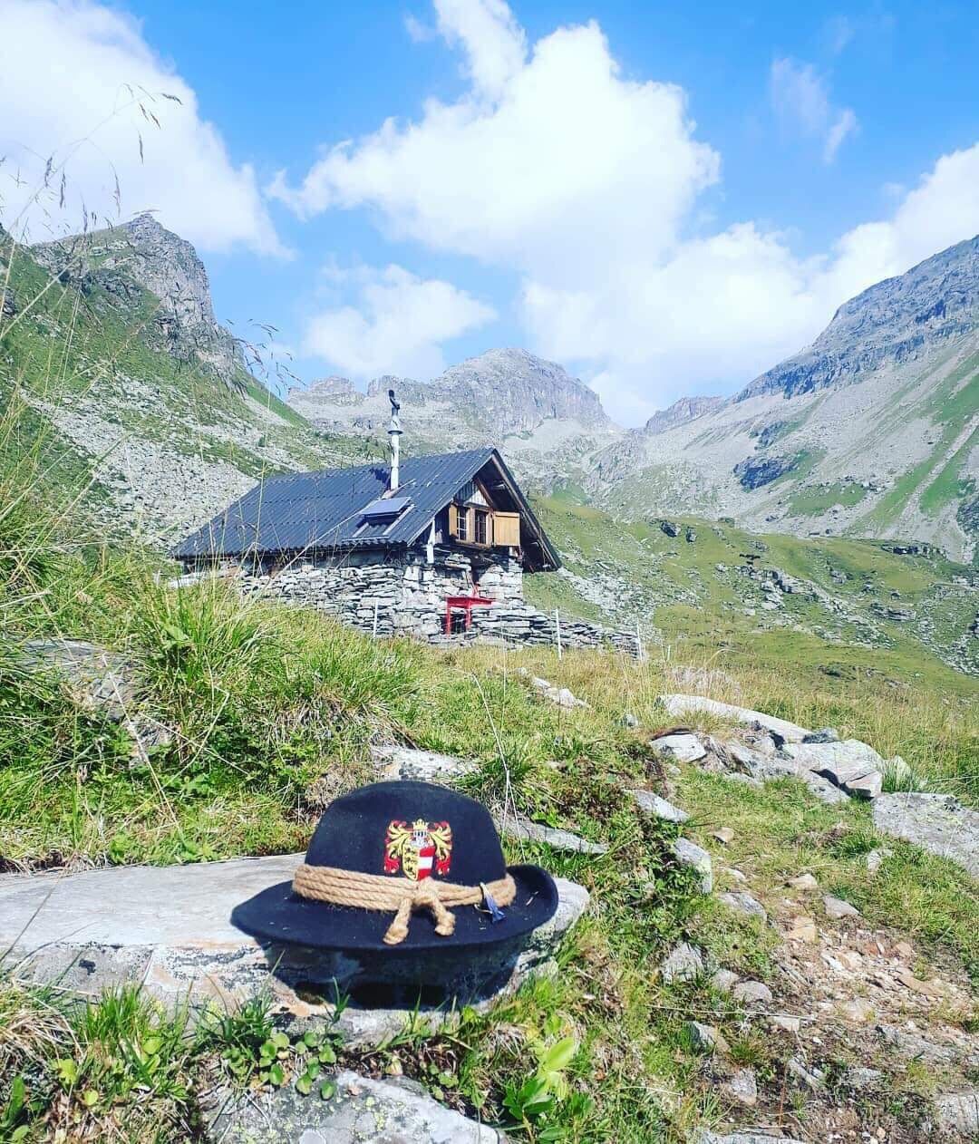
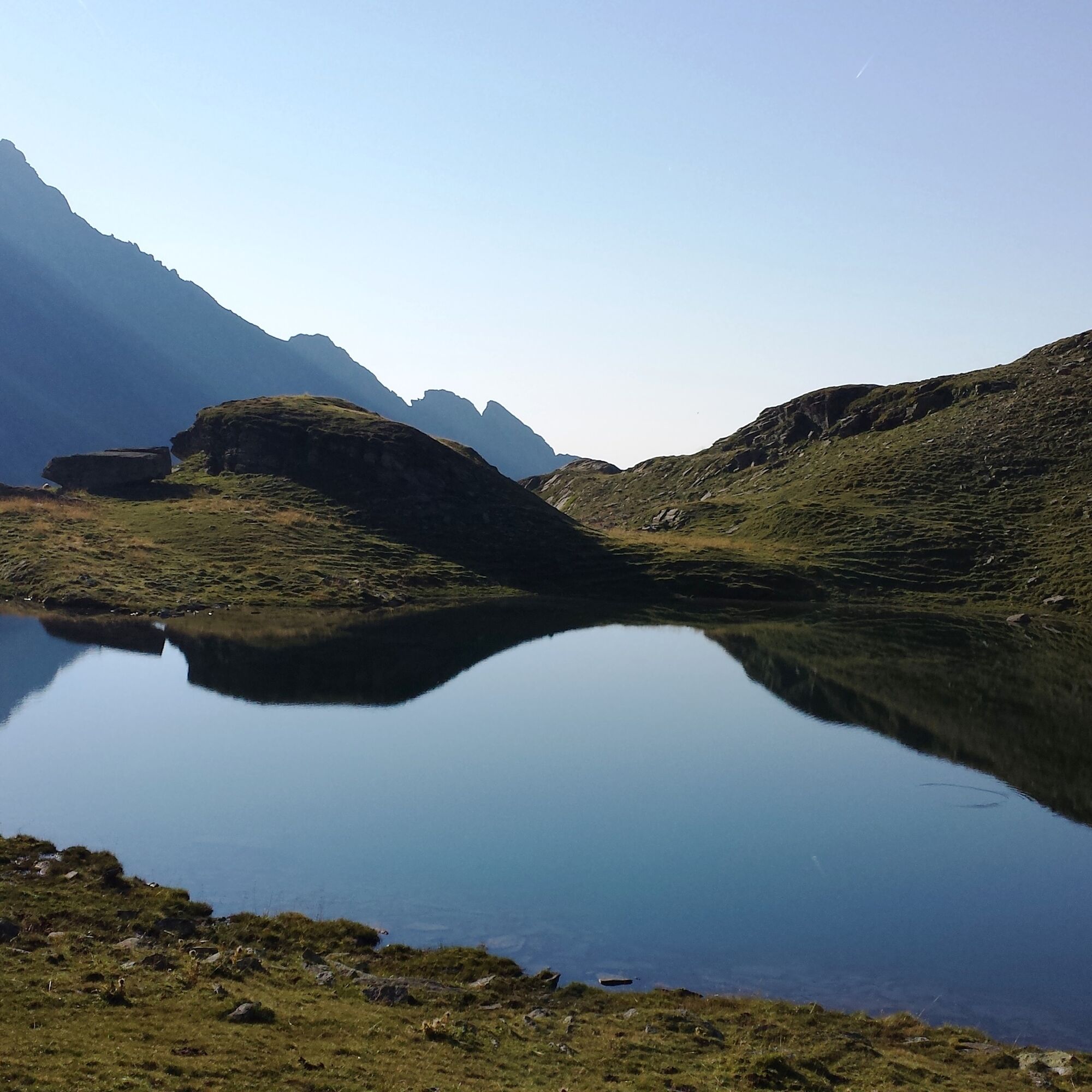
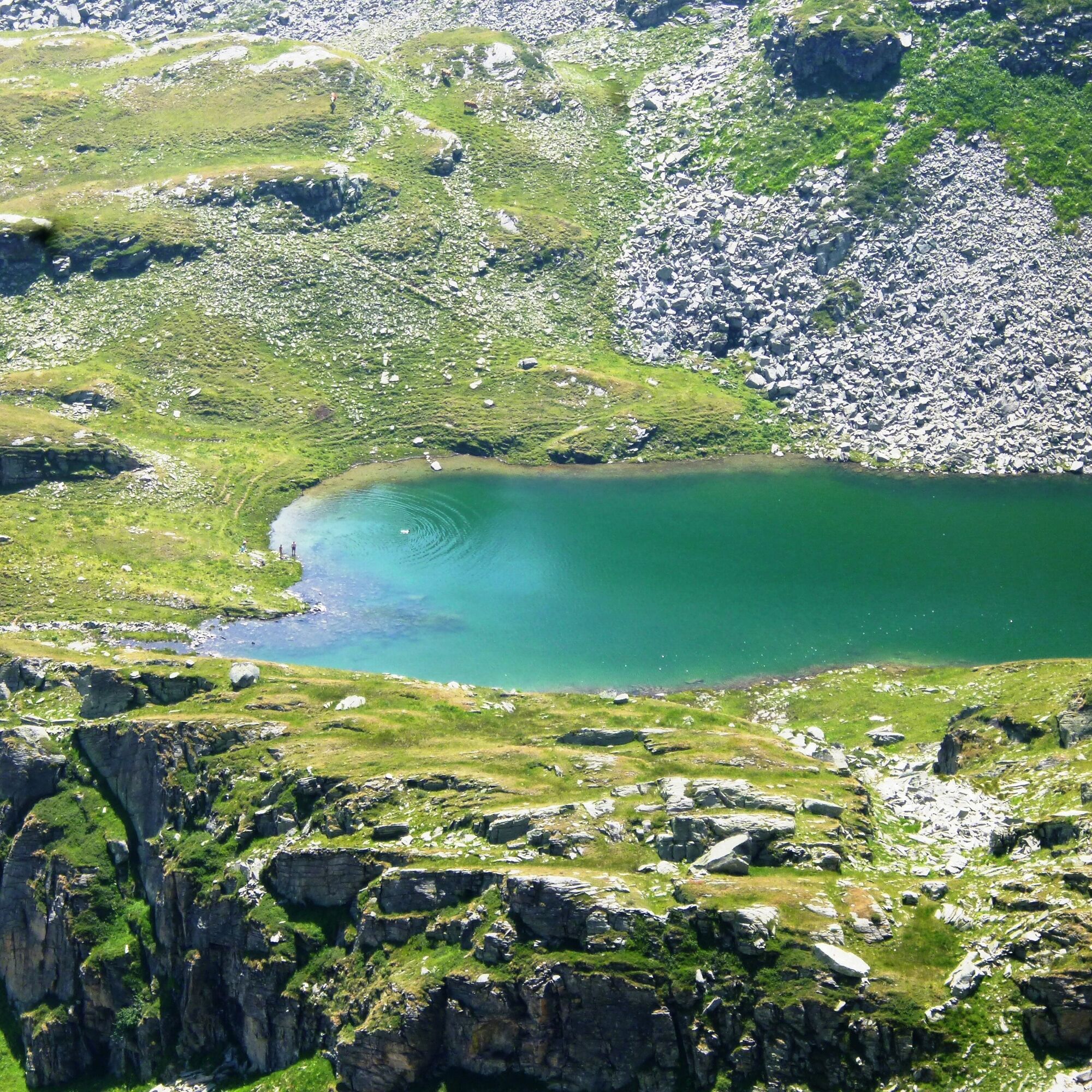
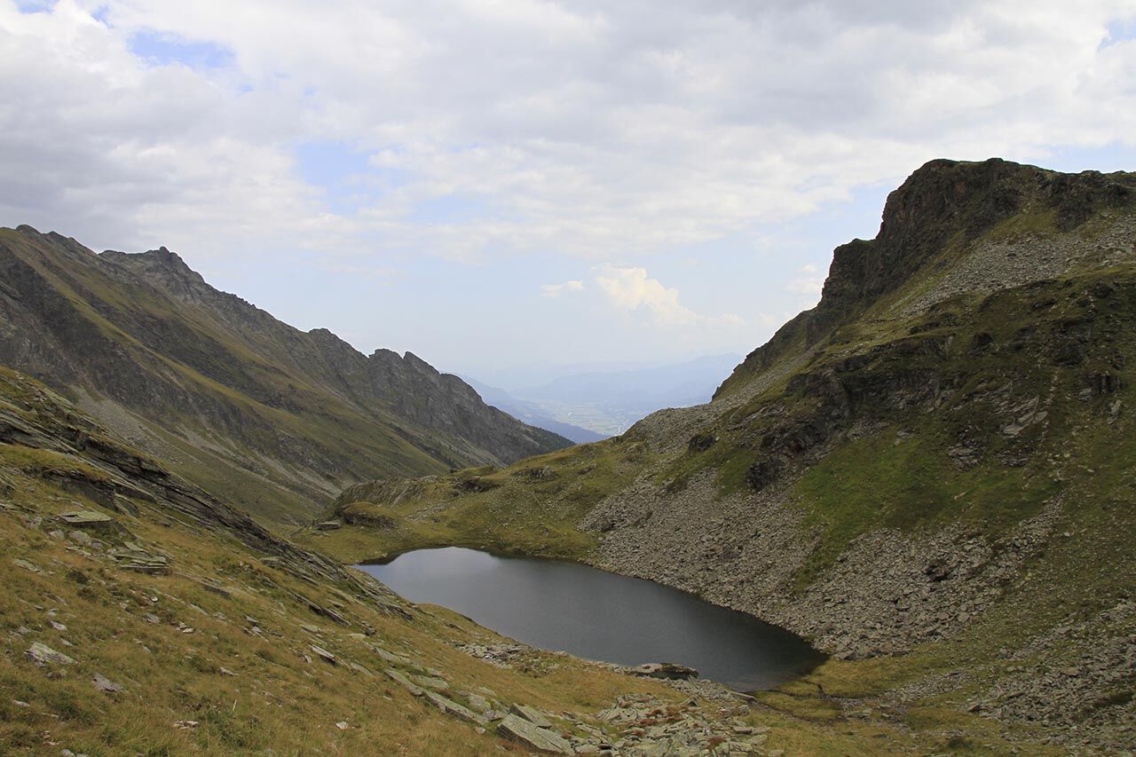
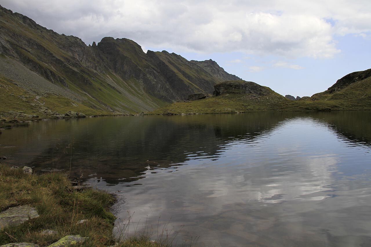
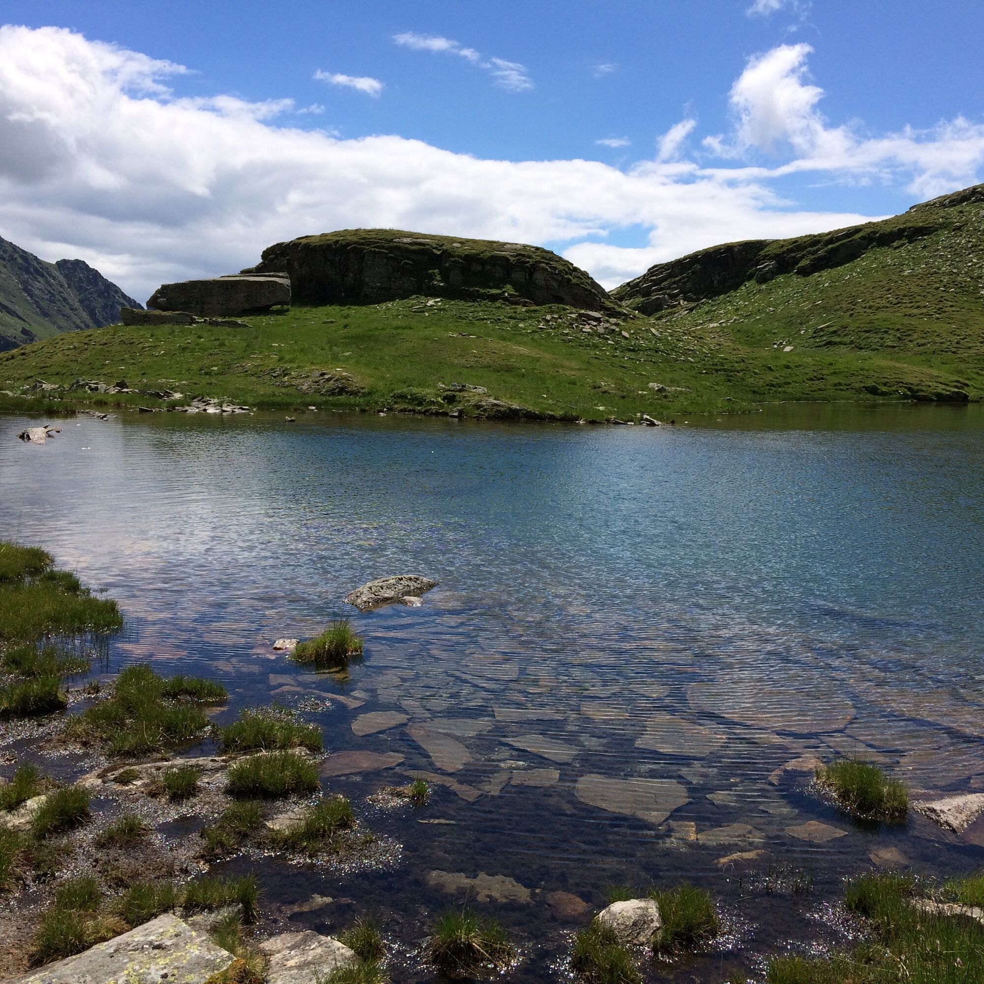
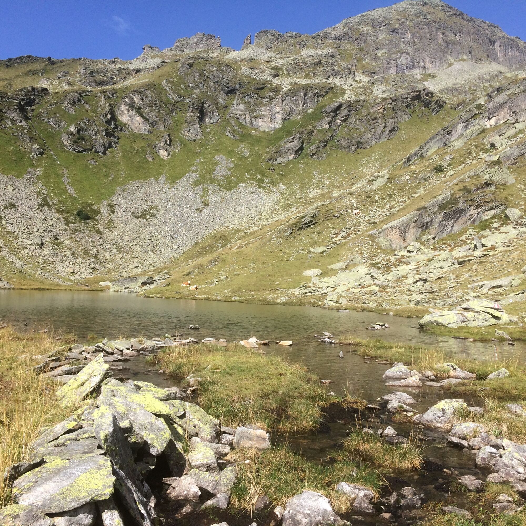
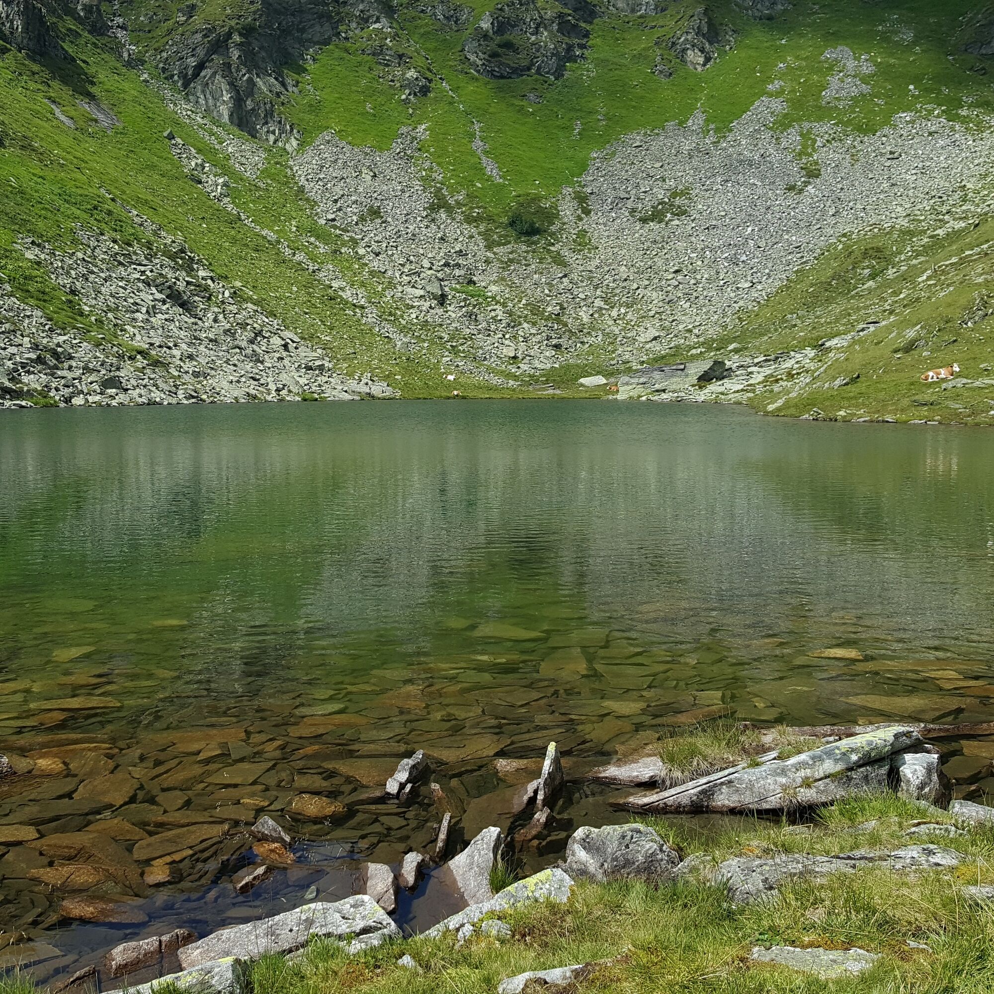
The hike through the Hintereggergraben extends from the Kohlmaierhütte along a mountain stream towards the "Hohe Leier" to the so-called Alplsee. The hiking trail continues uphill over alpine meadows and...
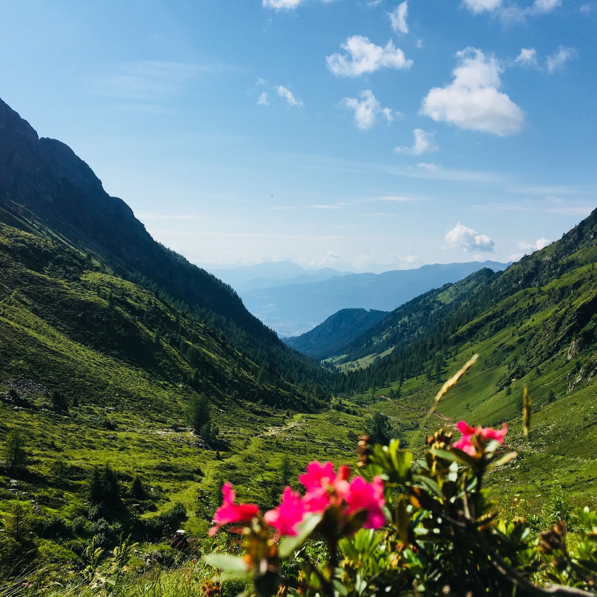
The hike through the Hintereggergraben extends from the Kohlmaierhütte along a mountain stream towards the "Hohe Leier" to the so-called Alplsee. The hiking trail continues uphill over alpine meadows and small rocks to the Hochalmsee in the Alpl – this popular route has something for every hobby hiker. The crystal-clear mountain lake invites you to linger. The same route leads back to the managed Kohlmaierhütte. Homemade dishes made from regional ingredients can be enjoyed here during a visit.


Ano
Ano
The Kohlmaierhütte can be reached by car from Lendorf via the Hühnersberg.
This route is not accessible by train or bus.
Free parking is available about 20 minutes or 1.2 km before the Kohlmaierhütte.
Hereis the contact information for the Kohlmaierhütte.
Only experienced mountaineers can climb higher from the "Alplsee" to the Hohe Leier and enjoy a magnificent view at 2,774 m above sea level.


Oblíbené prohlídky v okolí
- 5.0
Bergfried Hütte, Stoder 2433, Gmeineck 2592
heavyTuristika 8.23 km - 5.0
Bella Vista auf Hohe Leier
středníVia ferrata 15.6 km - 5.0
Ankogelgruppe - Säuleck 3.086m - Detmolder Weg mit zu viel Schnee
heavyVysokohorská turistika 23 km - 4.7
Family bike ride along the bike path R9B Gmünd - Maltatal
středníJízda na kole 33.8 km - 4.1
Barbarossa Gorge near Mühldorf/Mölltal
světloTuristika 2.74 km - 4.5
Arthur von Schmidhaus
středníTuristika 6.36 km - 4.7
Tschiernock high-altitude circular hiking trail
heavyTuristika 15.8 km - 4.3
The Glockner cycle route R8
středníJízda na kole 123.5 km - 3.8
Hochalmspitze from the Gießener Hut (ascent via Detmolder Ridge, descent Steinernes Mandl)
heavyTuristika 13.4 km - 4.4
Säuleck
heavyTuristika 19.0 km
Pěší turistika a stopování


Nenechte si ujít nabídky a inspiraci pro vaši příští dovolenou
Vaše e-mailová adresa byl přidán do poštovního seznamu.





