







Nockberge-Trail: stage 8 hiking route

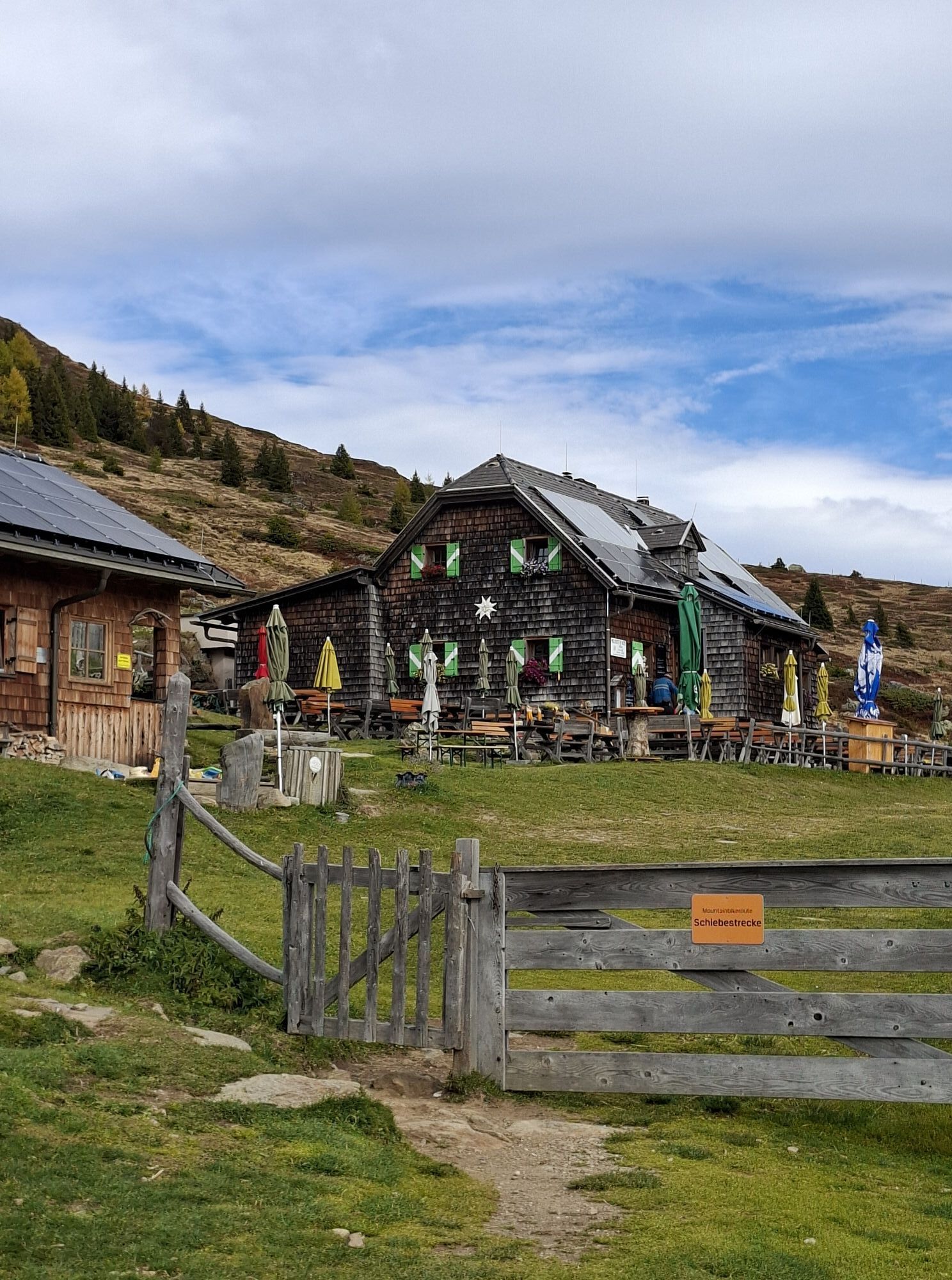
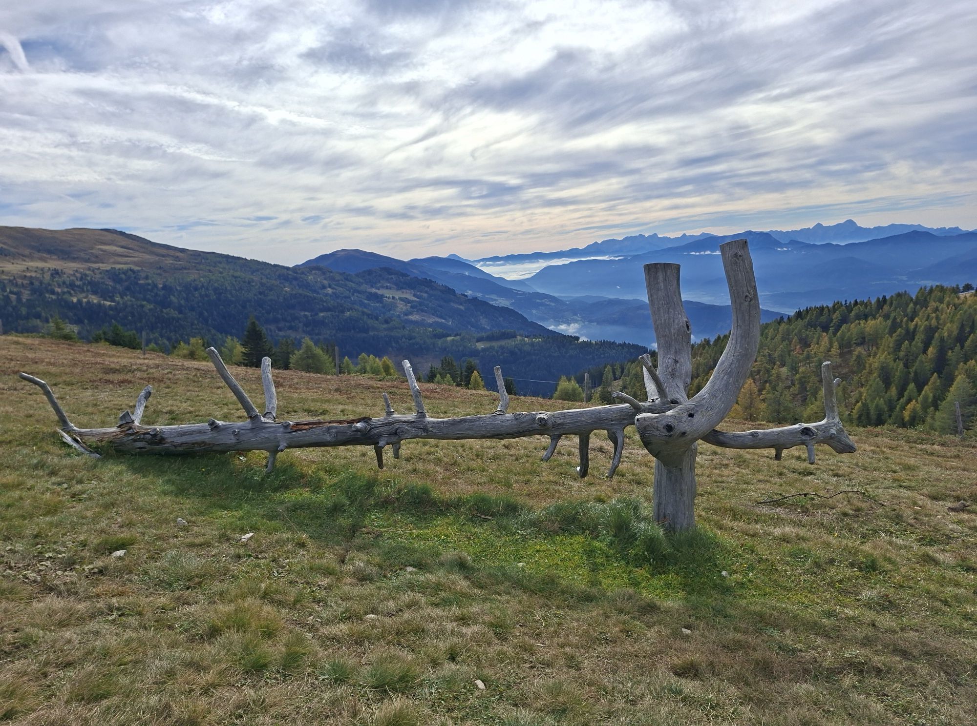
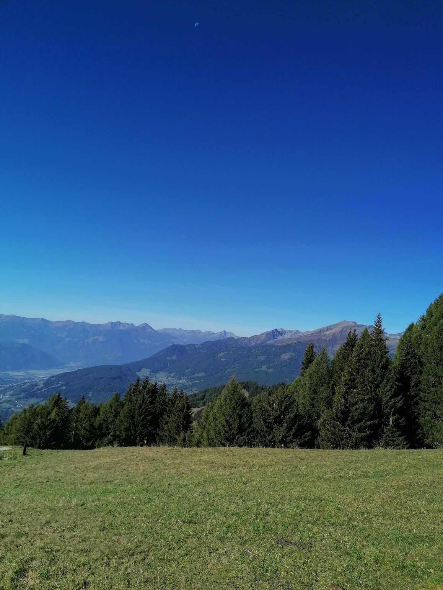
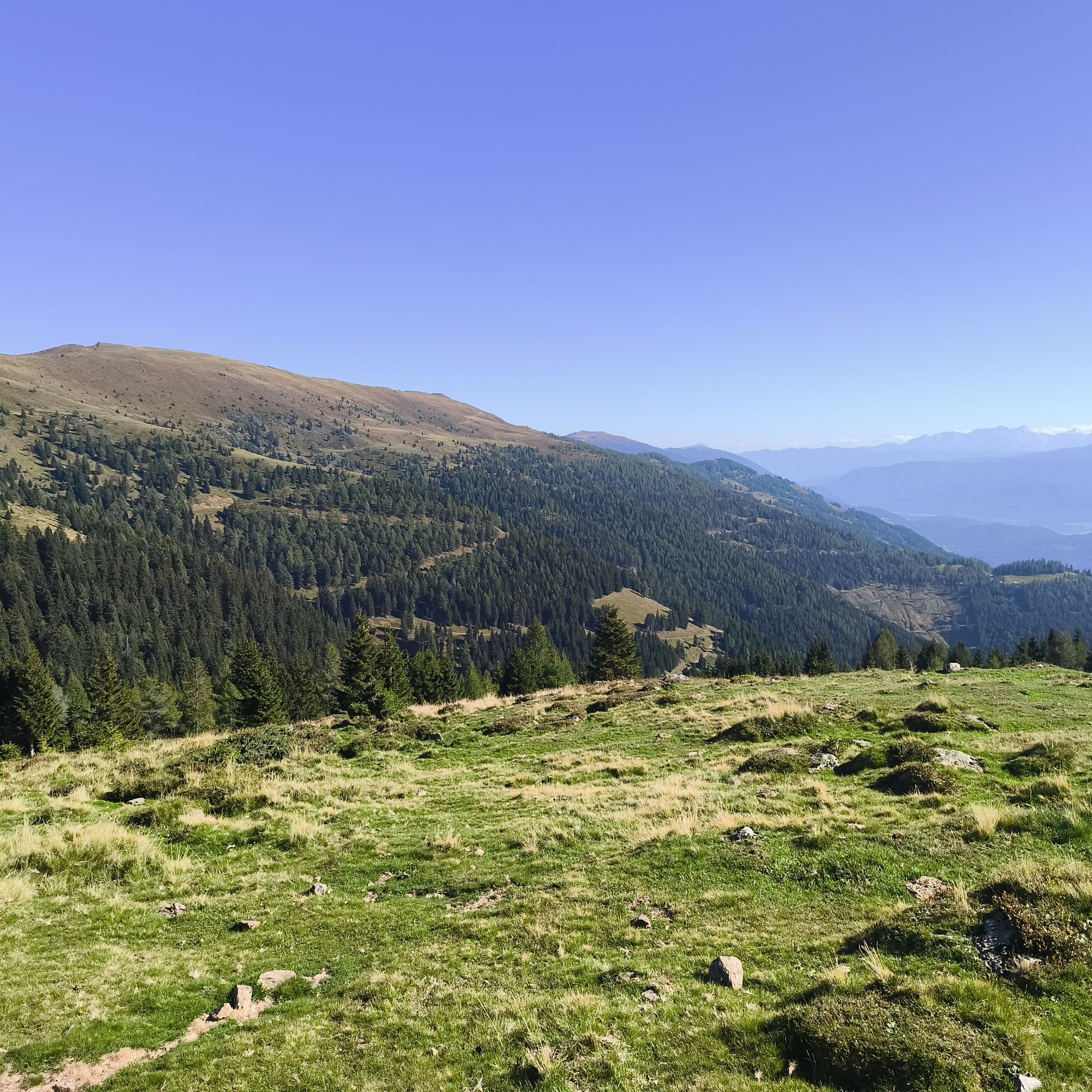
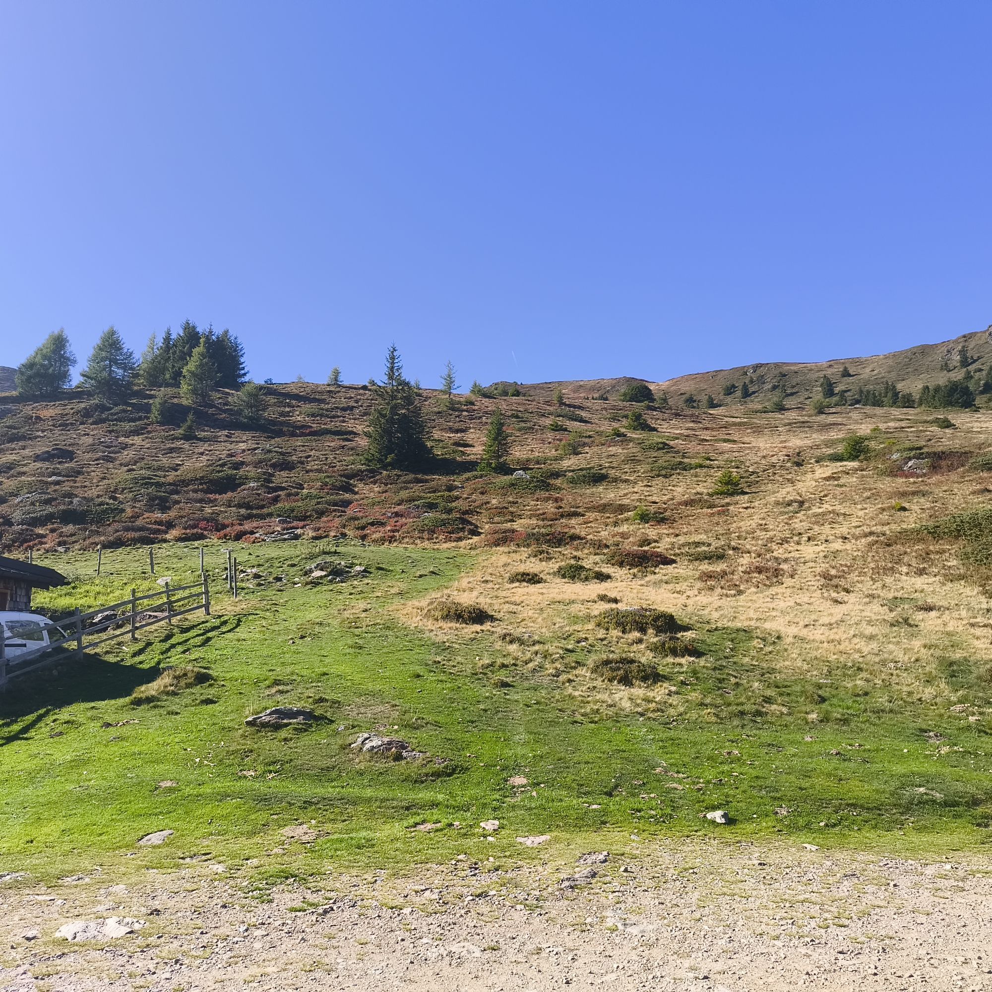
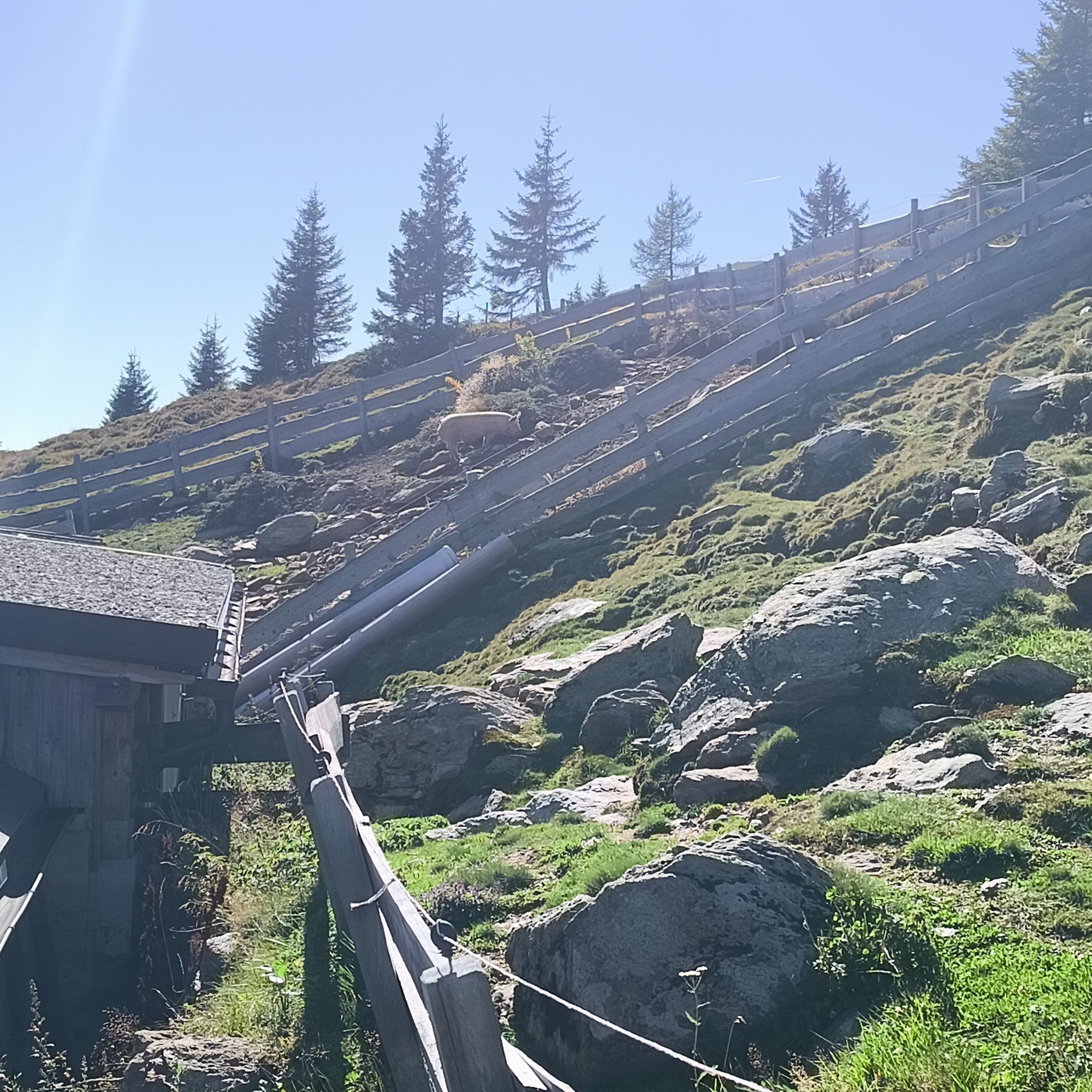
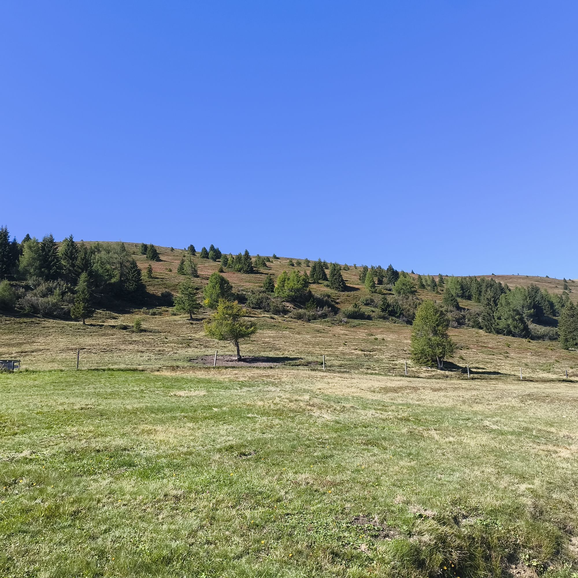
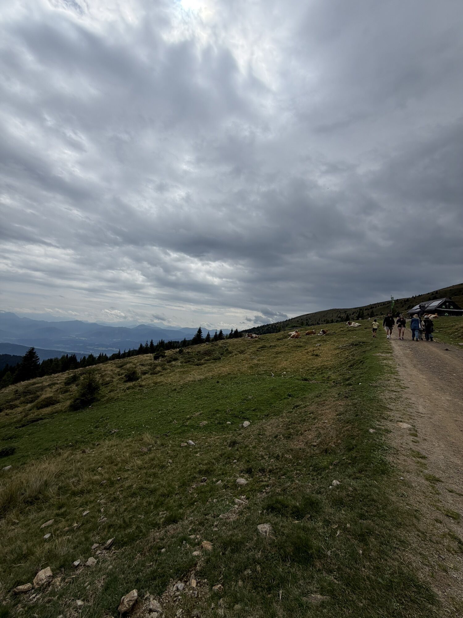
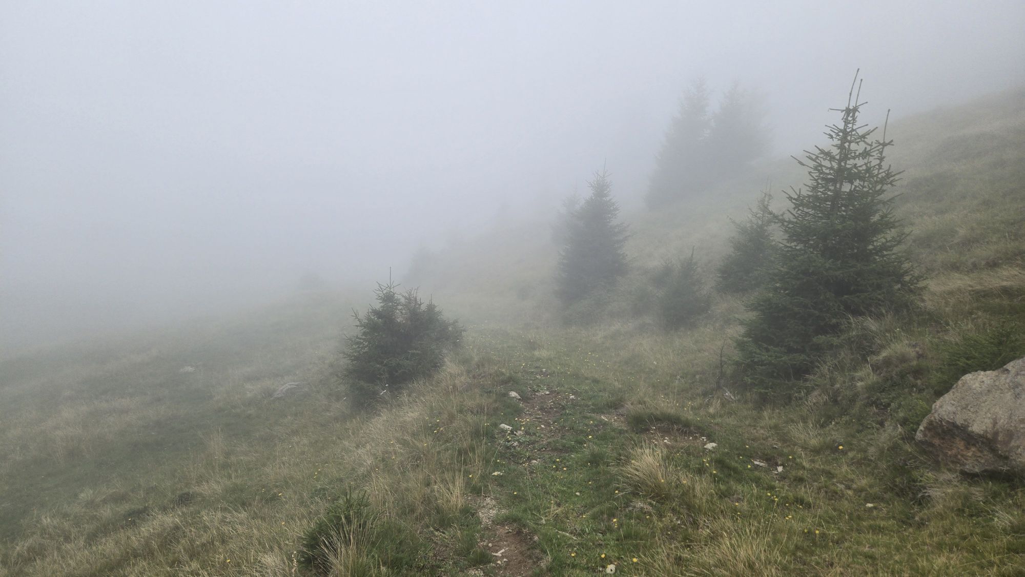
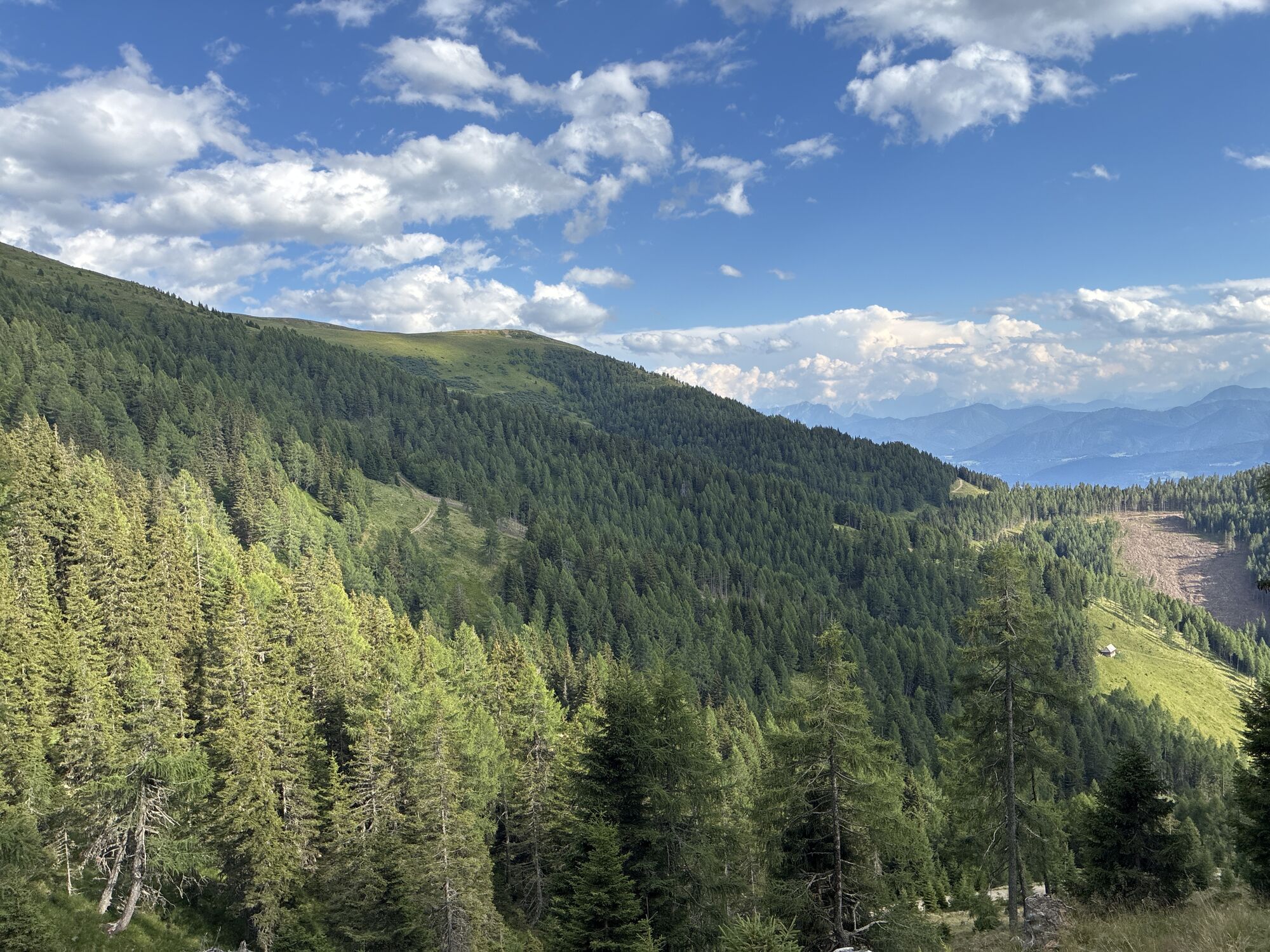
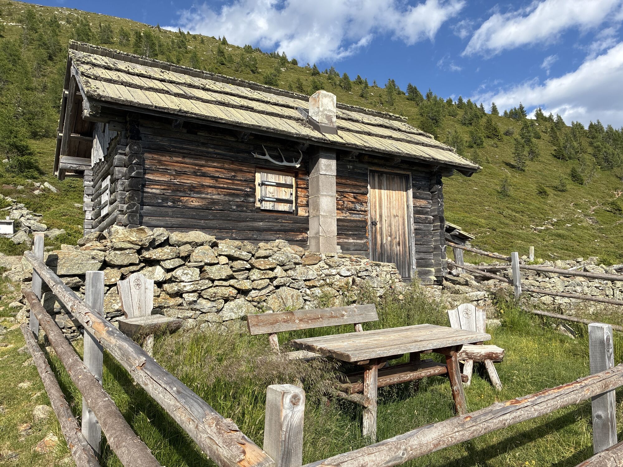
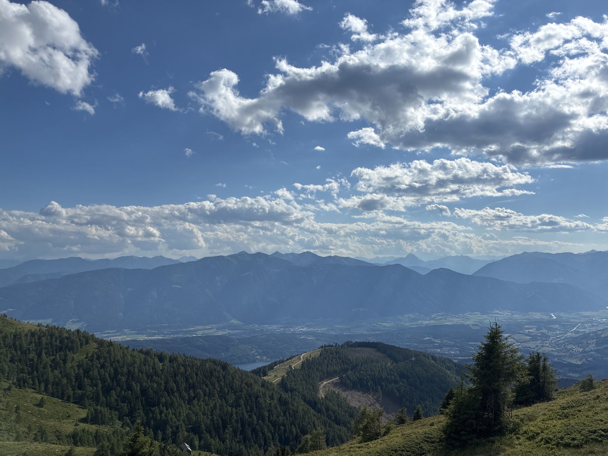
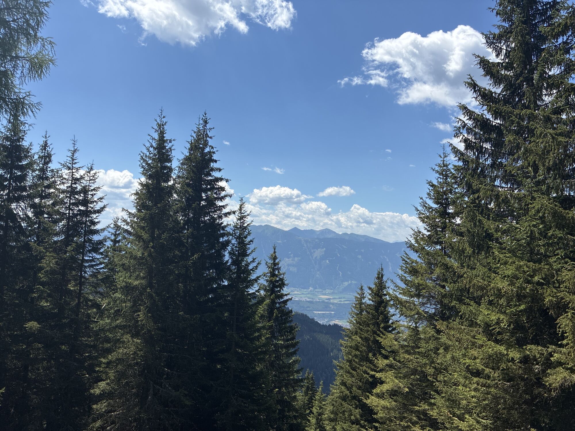
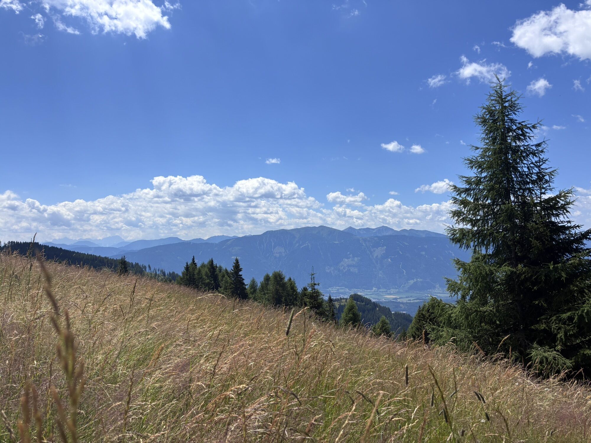
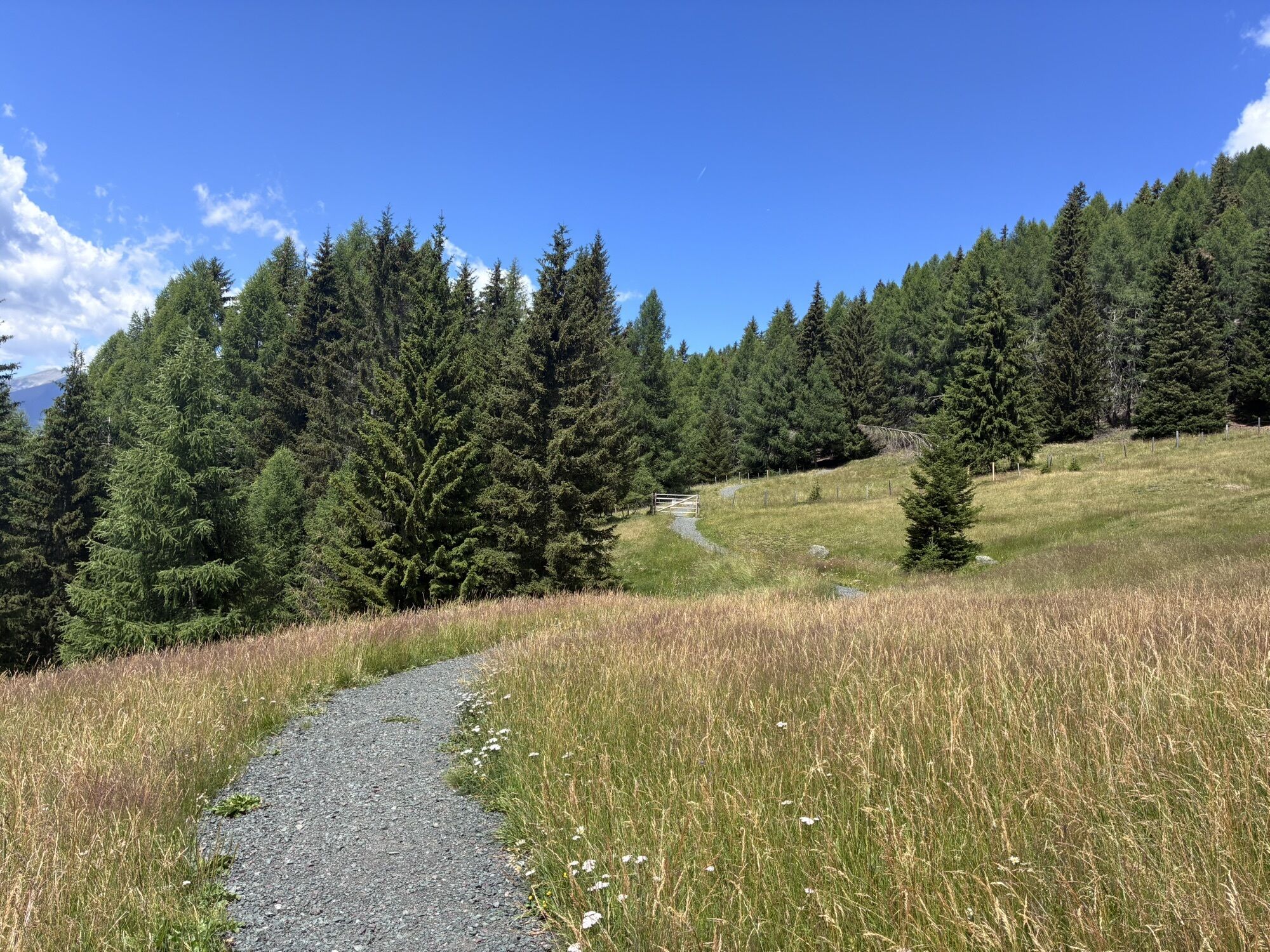
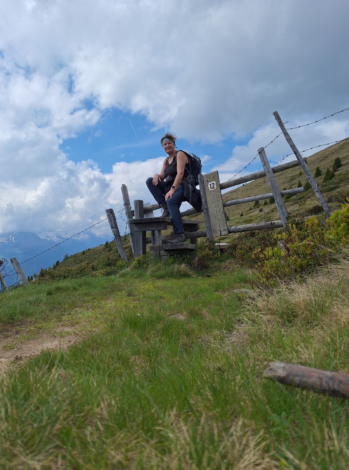
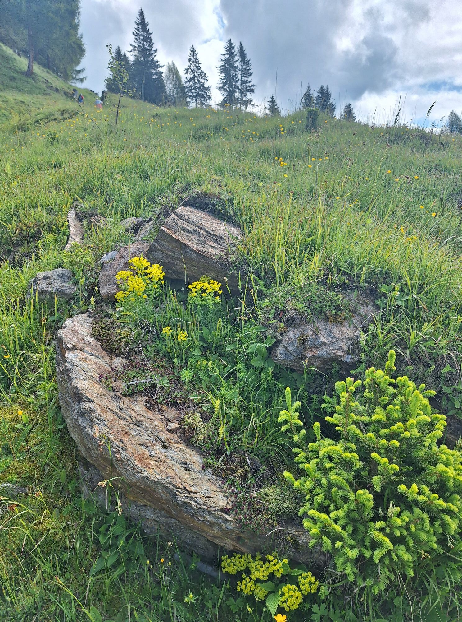
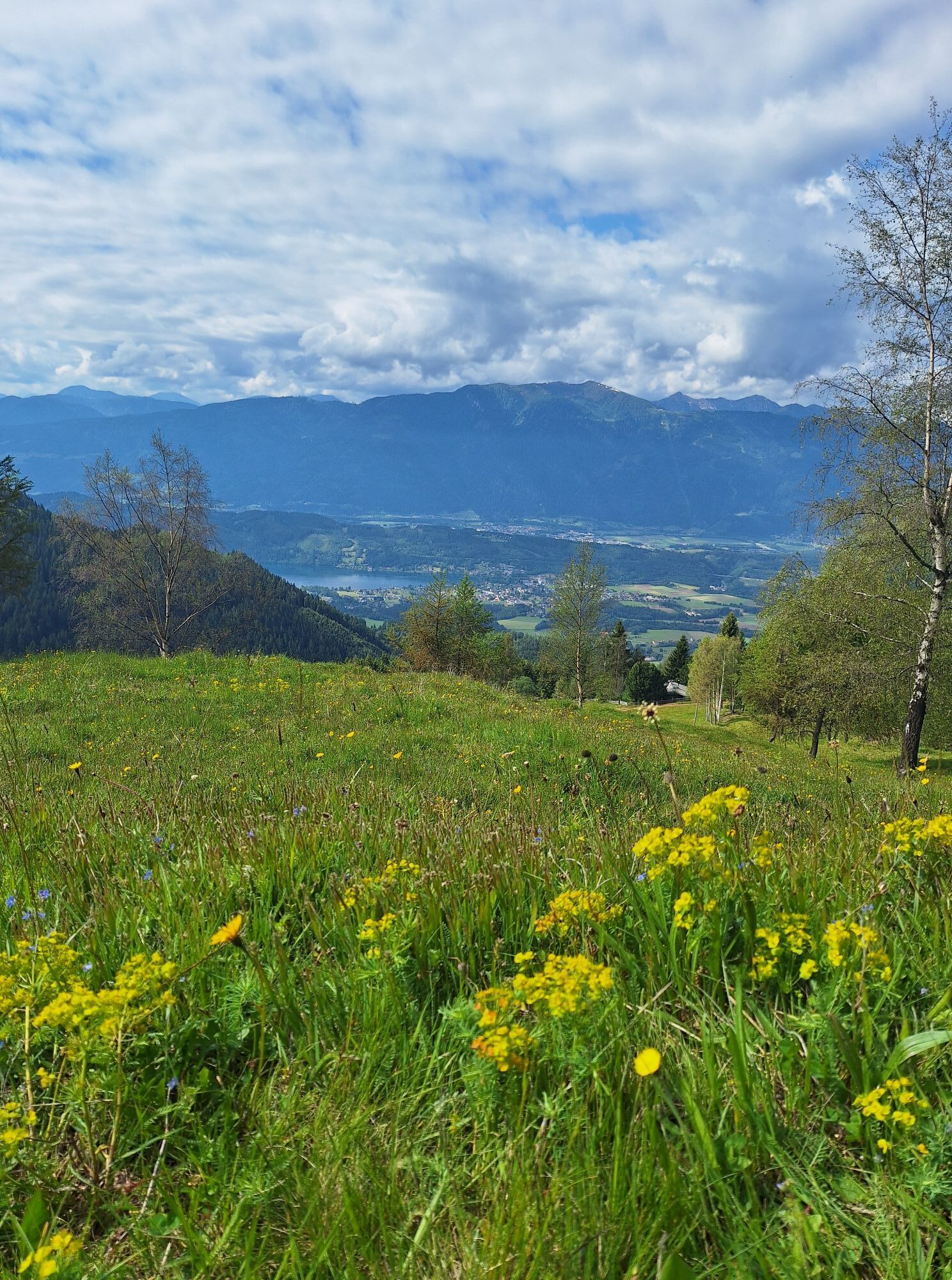
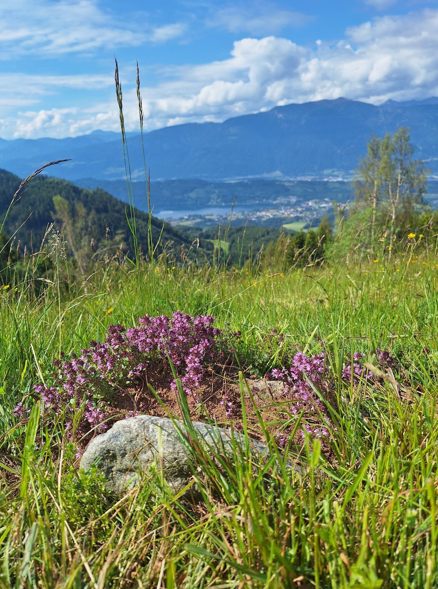
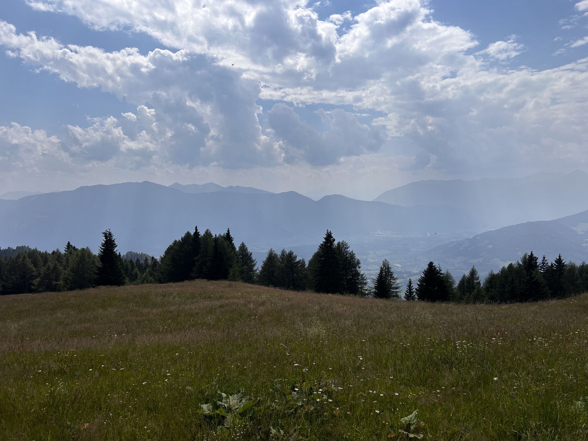


I well deserve this conclusion: I first walk calmly from the Millstätter Hütte refuge towards the Alexanderhütte and reach my last summit, the Tschierweger Nock, which rises to 2,010 meters. From there,...
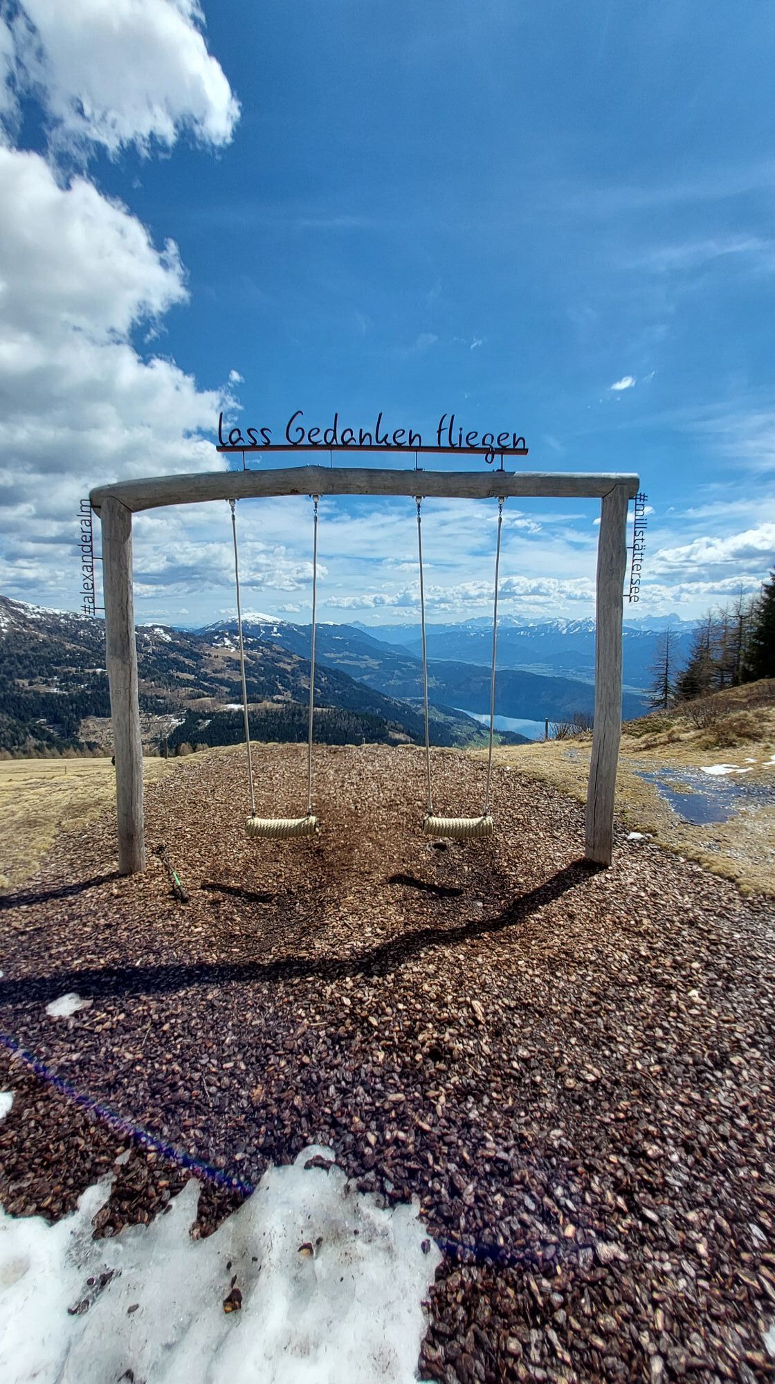
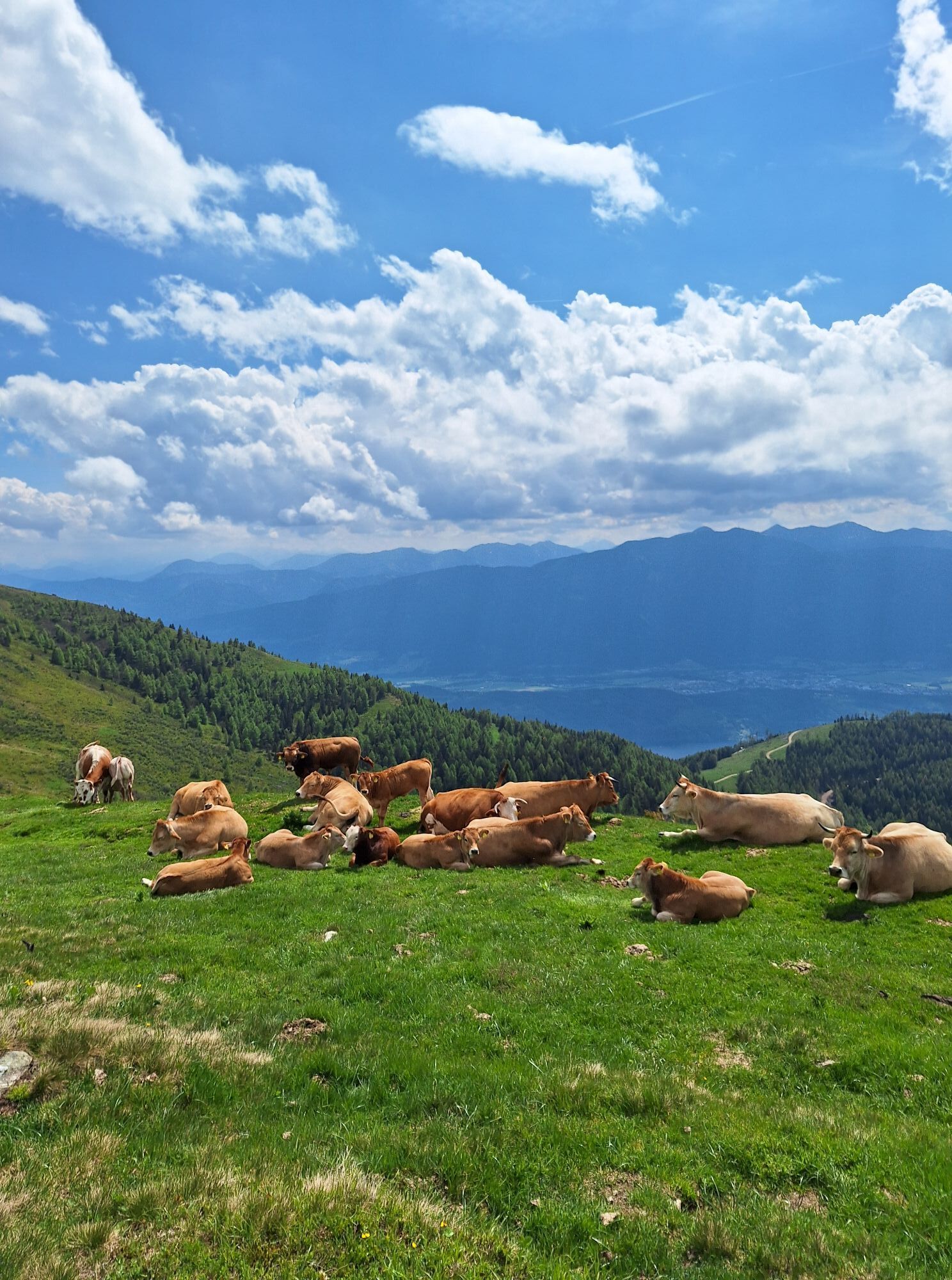
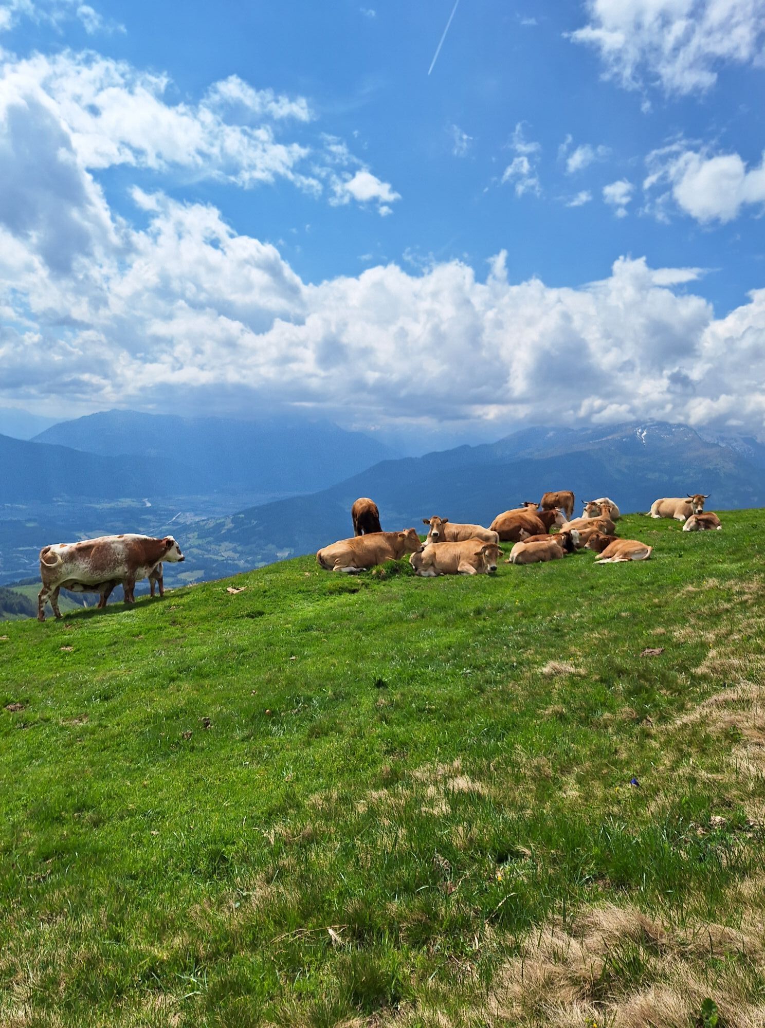
I well deserve this conclusion: I first walk calmly from the Millstätter Hütte refuge towards the Alexanderhütte and reach my last summit, the Tschierweger Nock, which rises to 2,010 meters. From there, I enjoy fantastic views of Lake Millstätter See, the tempting destination of my long journey on the Nockberge Trail. Before I can immerse myself in the waters of the lake, a long but beautiful descent awaits me passing the Sommeregger Alm alpine pasture and the Hansbauer refuge down to Treffling, then past the historic Sommeregg castle down to Seeboden on the shore of Lake Millstätter See.
Tip :
I hike worry-free on the Nockberge-Trail!
The official Nockberge-Trail information and booking center, with the award-winning Trail Angels team, gladly supports me. Whether I am an experienced or beginner hiker, I am in good hands with the competent and helpful booking center team. Especially if I want to combine personal freedom and the nostalgia of the exceptional with service, comfort, and safety during my hike.
Information and booking :
Official information and booking center of the Nockberge-Trail
powered at Trail Angels
Obervellach 15, 9821 Obervellach
+43 4782 93093
info@nockberge-trail.com
www.nockberge-trail.com
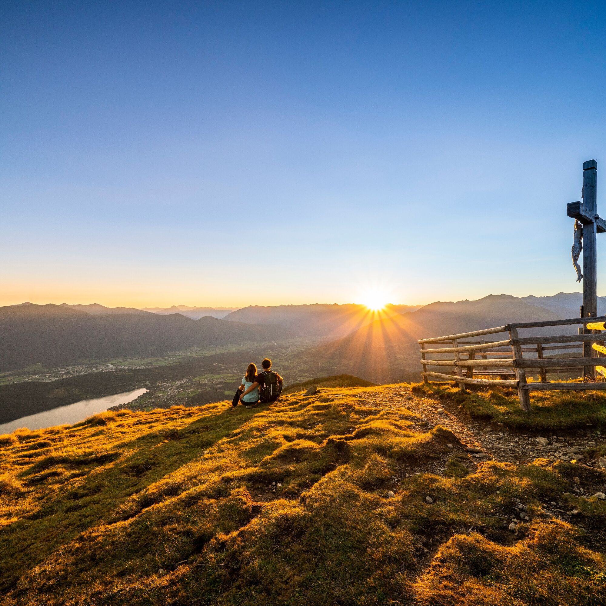
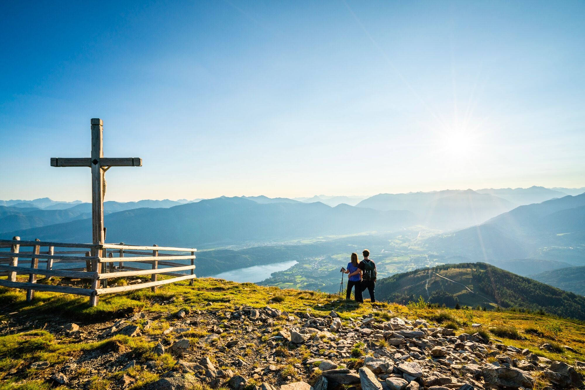
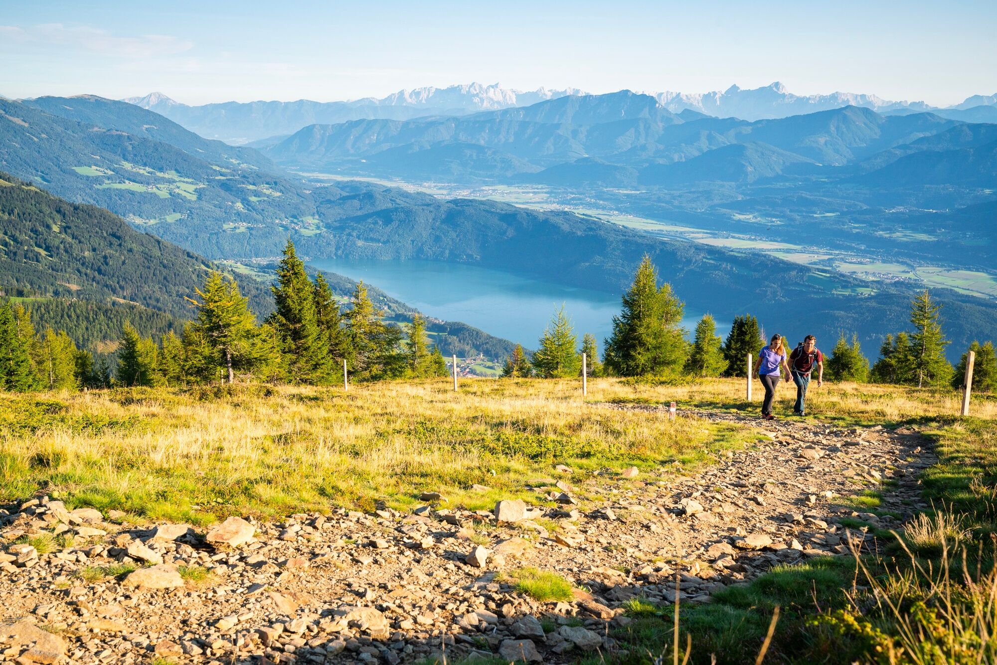
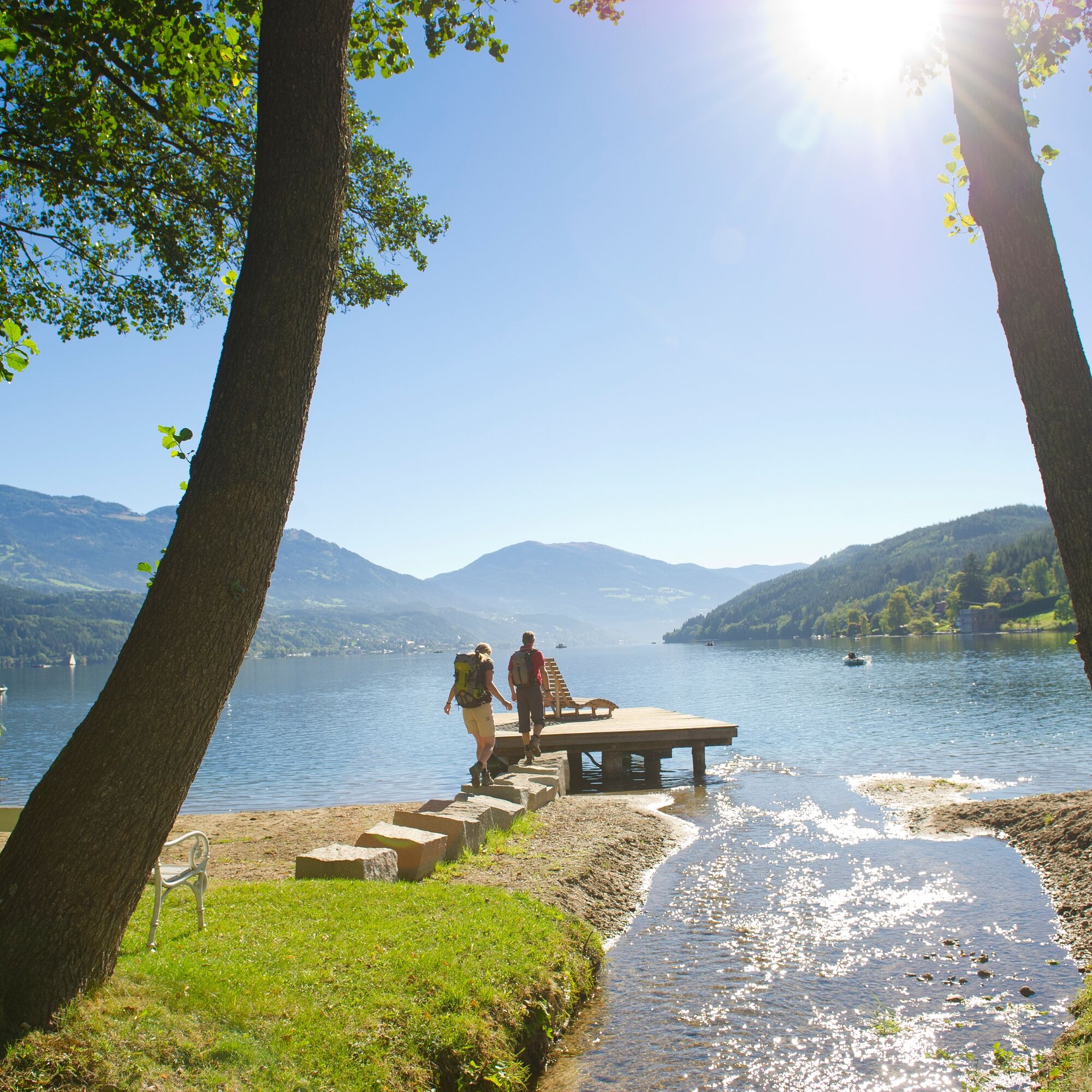
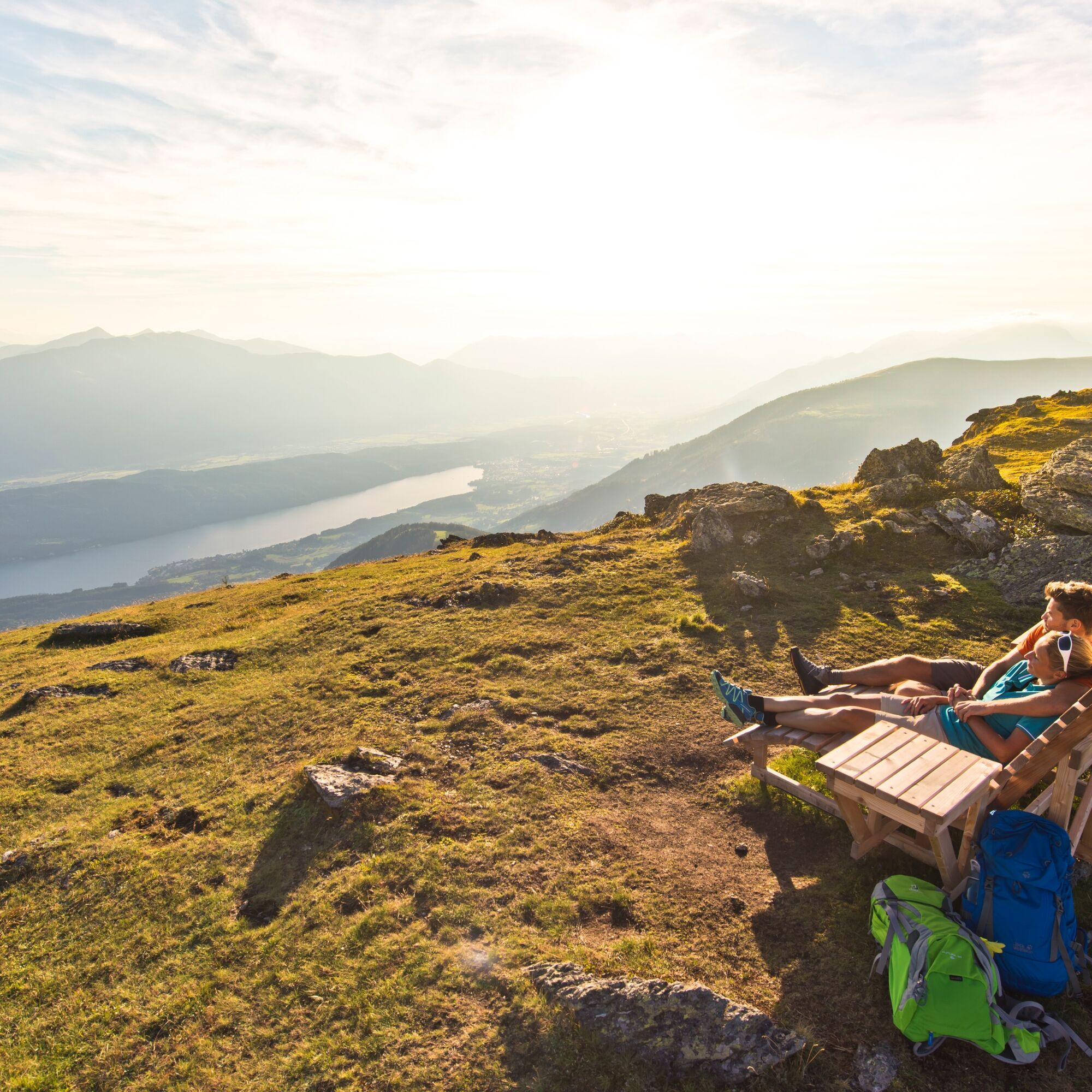
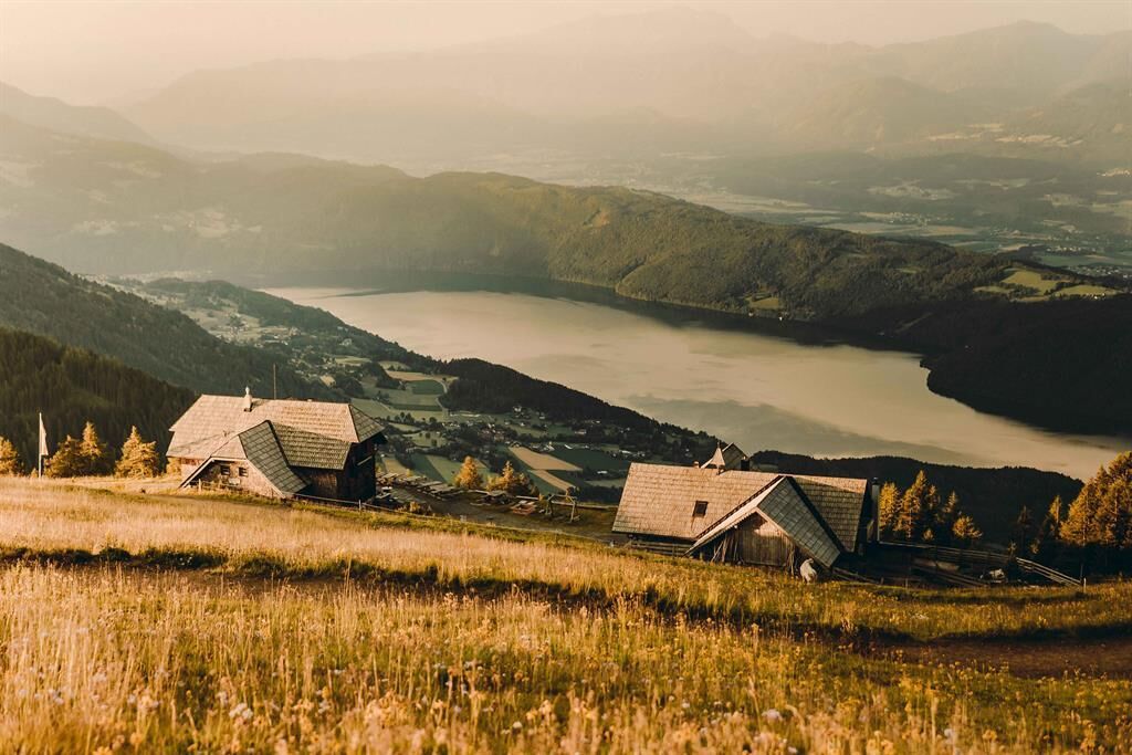
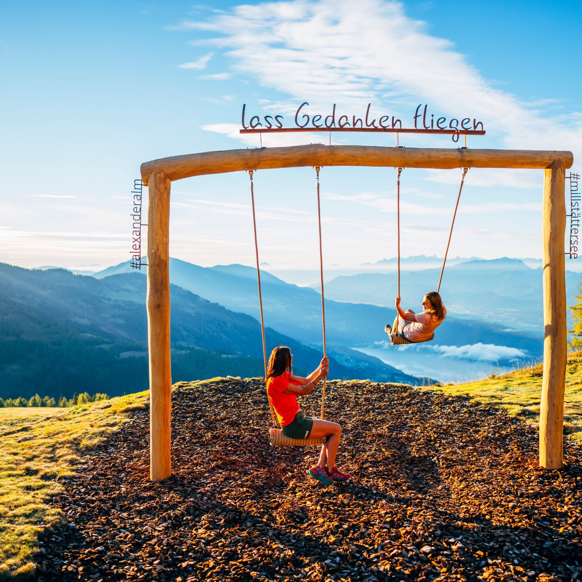
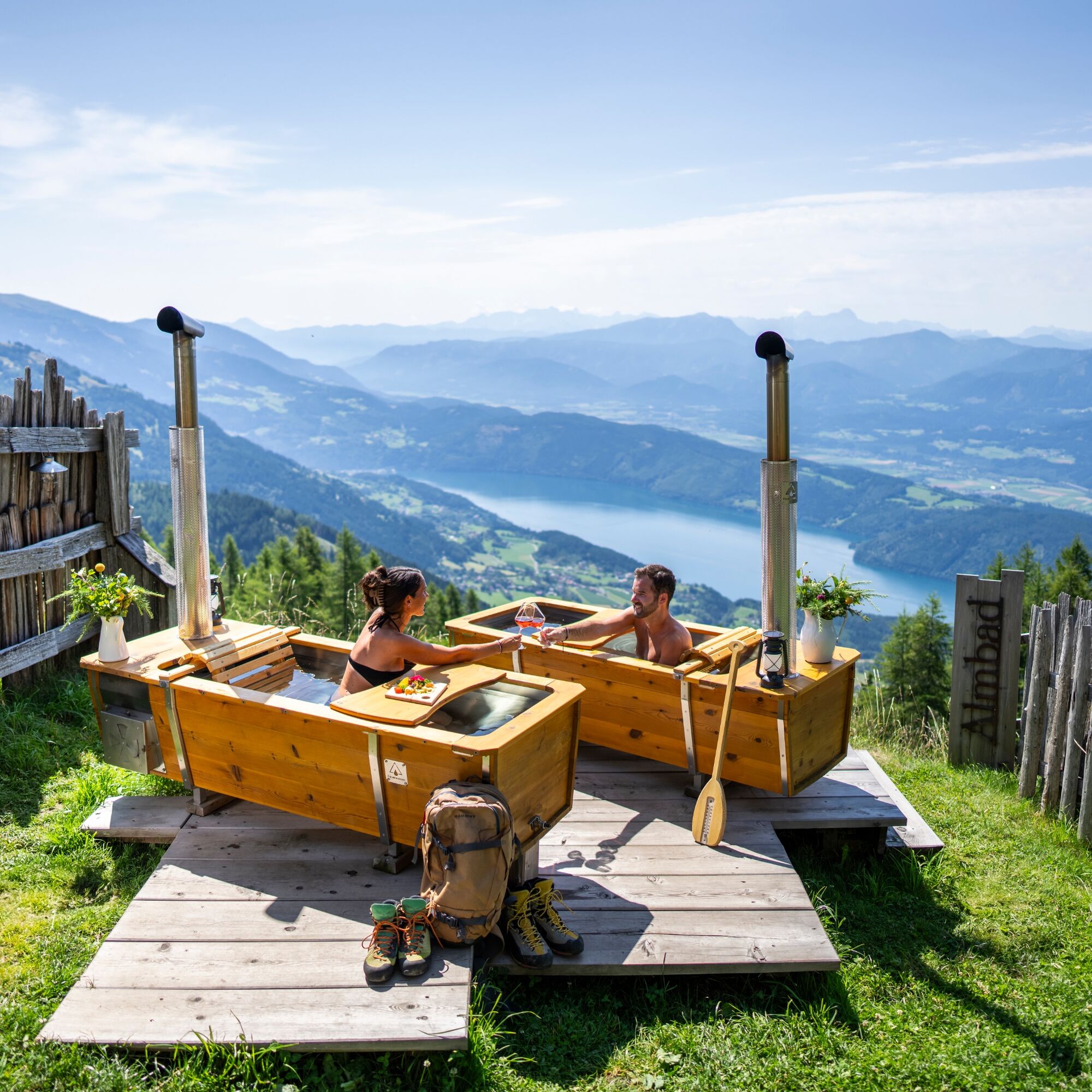

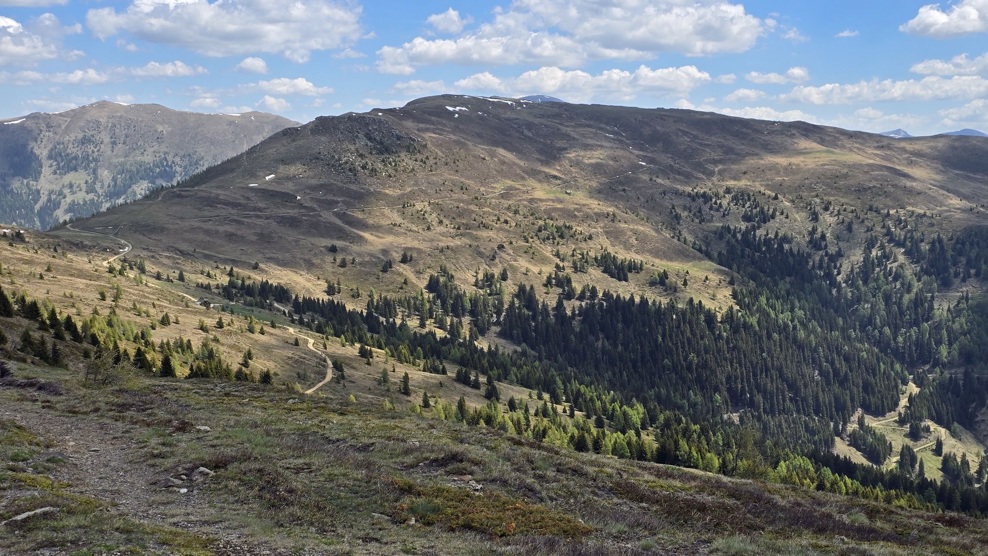
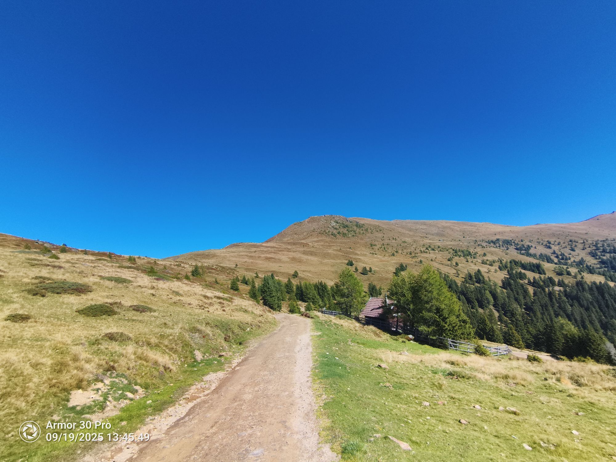
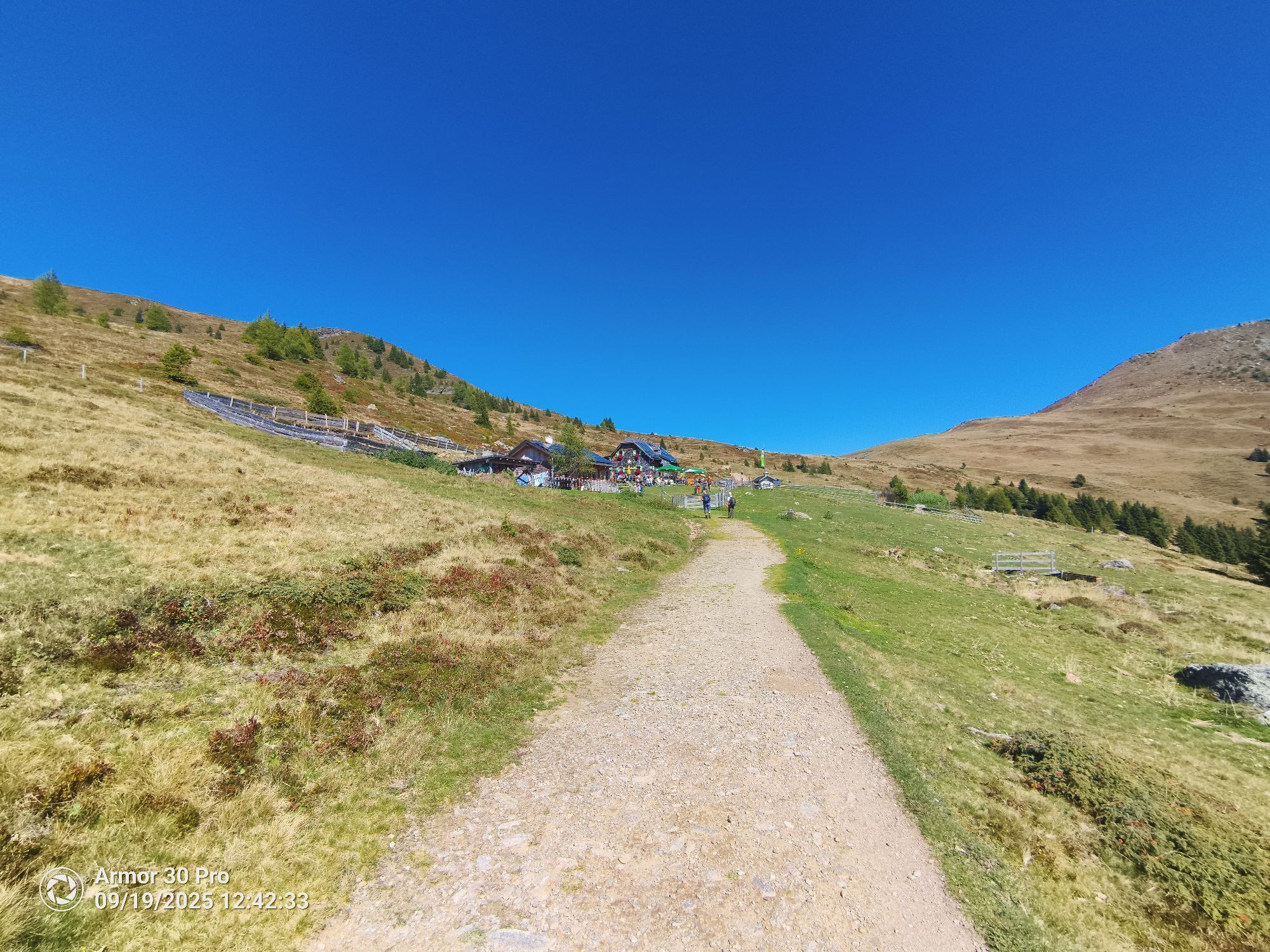
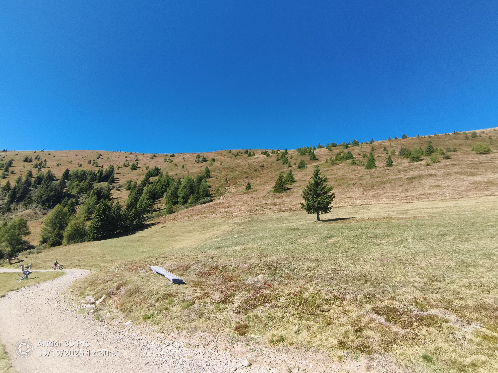
From the Millstätter Hütte refuge, I follow the more or less flat cart track southwest until the slope of the cart track steepens (I am just above the Alexanderhütte, which is not yet visible). At a signpost, I choose the hiking trail straight ahead towards "Tschierweger Nock" and reach this summit with its beautiful summit cross via its south ridge. Once again, I enjoy the magnificent view of Lake Millstätter See from the last summit of the Nockberge Trail.
[If I spent the night at the Alexander refuge, I climb up the cart track towards the Millstätter Hütte refuge, ignore the first sign towards the Sommeregger Alm alpine pasture at the first bend, and choose the second fork towards Tschierweger Nock].
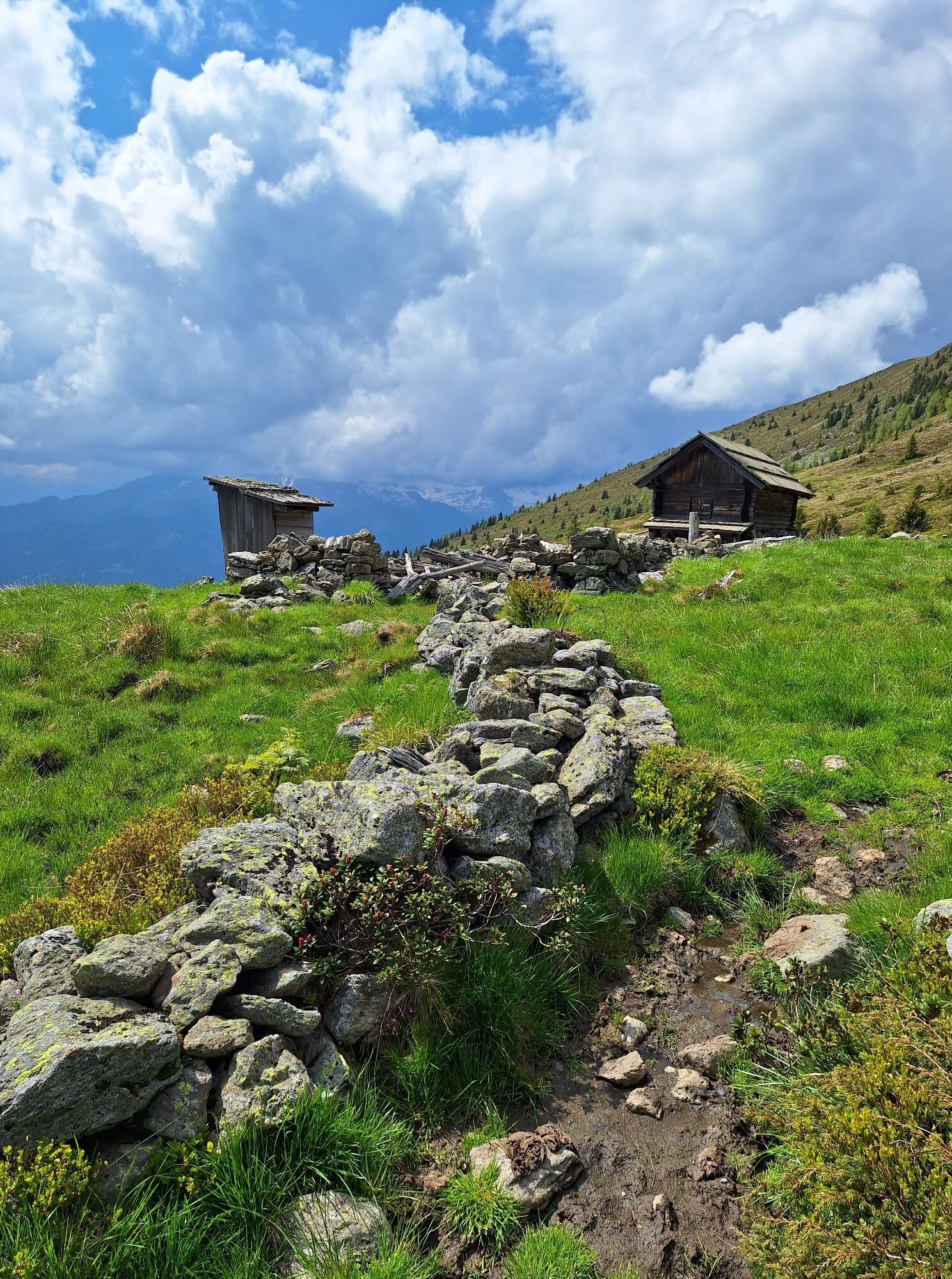
I now walk gently downhill on the ridge towards the north until I reach a wayside cross. I climb on the left trail, first at a constant altitude, then descending on a cart track to the worked alpine pasture Sommeregger Alm. I cross the terrace of the Sommereggeralm alpine pasture to reach the beginning of the beautiful "Jagasteiges," which takes me first flat, then downhill in a few minutes to the Hansbauer refuge, also worked. Here or at the Sommereggeralm alpine pasture, I can take an excellent break and regain strength for the last descent.
I pass to the left of the Hansbauerhütte and immediately turn right onto hiking trail no. 11 towards Treffling/Seeboden. I quickly reach the old Hansbauer refuge. I do not take the cart track straight ahead but descend diagonally left on trail traces across the meadow to a small ruined hut. Here again begins a more obvious meadow path that leads me down right into the forest and after some time to a small paved road, still descending. I cross it and descend about 700 m on the right until a shortcut begins on the left via hiking trail no. 11. Back on the paved road, I walk a bit to the left until another shortcut starts via hiking trail no. 11. I cross the paved road twice and thus reach an access road near a house. Here, I descend once more to the right via the hiking trail until I finally join the paved panoramic road. I descend the road on the right and soon arrive at the beginning of Treffling.
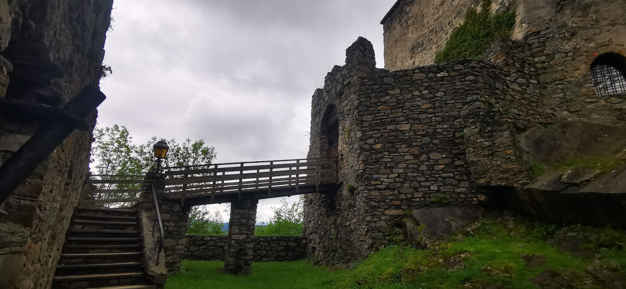
Just after, I see a moss mill on the left. I then turn left onto the path, which I follow descending along the stream and passing the church until a main road. I descend left and pass by the Kärnten guesthouse before reaching an even larger paved road. I cross the road and follow the small paved road opposite (path no. 4). At the next fork, I turn right and pass the Sommeregg castle on the right, then continue descending always with the church tower in view until I arrive in front of the church. I descend by a left turn to the main road. I turn left onto it, but immediately right onto a small paved road. Somewhat oddly, I cross a farm and arrive at a meadow path that I follow straight down to the stream. I cross a bridge and continue descending left of the stream on a pretty hiking trail until the main road - I am already at the beginning of Seeboden.
I descend the street straight ahead until I spot a wayside shrine to the right of the road. Here, I turn right towards the Bierwirt, but immediately left onto a path that leads me to the right of the stream at the bottom of the main road that runs along the north shore of Lake Millstätter. I cross the road and choose on the other side a small road that leads me straight to the very beautiful Klingerpark, the final point of the Nockberge Trail and located directly on the shore of Lake Millstätter. A magnificent finish point of a dream trail.
Important conditions for successful mountain hiking are, besides careful study of guides and maps, optimal equipment.
Basic equipment includes:
solid and well-fitting mountain or hiking boots with a grippy profiled sole waterproof and windproof mountain clothing, hiking poles sunglasses, sun protection a mobile phone and a hiking map a first aid kit as well as enough drinks and a snack.Correct behavior in the mountains
Careful route planning using descriptions and hiking maps is essential for successful mountain hiking. Equally important is correctly assessing mountain experience, physical condition, sure-footedness, absence of vertigo, and endurance of all participants. Never leave marked hiking trails and avoid shortcuts. Inform yourself about weather conditions before hiking and return to the valley if the weather worsens. The mountain is for everyone. Contributing to its preservation and cleanliness is a duty for every hiker. Carry your waste down to the valley and respect fauna and flora. Always keep dogs under control and on a short leash. If an attack by grazing animals is foreseeable, immediately release the dog. Austrian farmers make an important contribution to preserving our alpine landscapes. Visitors are kindly asked to adapt respectfully to this magnificent landscape. Respect those working there, nature, and the animals.These are the main emergency numbers in case of accident in Austria :
140 Alpine emergency number
144 Rescue emergency number
112 European emergency number (possible from all networks. Turn off the mobile phone and after turning it on, dial "112" instead of the PIN code)
Carinthia train station shuttle
Comfortably and directly from the station to your accommodation with the Carinthia station shuttle : https://www.bahnhofshuttlekaernten.at/
CAR
Via the Millstätter Almstraß toll road from Schwaigerschaft in the market municipality of Millstatt to the final parking lot at Schwaigerhütte.
Nockmobil
As a public transport access option, Nockmobil is a demand-responsive collective taxi offering a green alternative to the car and allows flexible travel from one stop to another. Let's use Nockmobil to be driven to our hiking starting point (from stop number xx) and back.
To book a ride with Nockmobil, we recommend calling about an hour in advance (the day before during summer months). We can also book our trip via the app.
At the Schwaigerhütte refuge at the end of the Millstätter Almstraß toll road, there is plenty of free parking. From there, it takes about 30 minutes on foot to the Millstätter Hütte refuge, the starting point of stage 8.
For more information about the Nockberge-Trail, please visit the official trail booking center at www.bookyourtrail.com.
For more information about the hiking region, see :
Lake Millstätter region - Bad Kleinkirchheim - Nockberge
+43 (0) 4246-37444
info@mbn-tourismus.at
The UNESCO Biosphere Park of the Nockberge in Carinthia
Sublime, powerful, and unique - the UNESCO Biosphere Park of the Nockberge in Carinthia is an alpine gem with unique natural treasures, a diverse cultural landscape, as well as rare animal and plant species. For centuries, people have lived here in harmony with nature. Gentle and rolling, with peaks over 2400 meters and picturesque alpine meadows - the Nockberge Biosphere Park in Carinthia is a rare natural idyll in the middle of the Austrian Alps and covers an area of about 500 square kilometers.
In 2012, it was designated a biosphere park by UNESCO. The park is based on three pillars of sustainability: ecological balance, economic security, and social justice. People live in harmony with nature here, and rare fauna and flora are respected and valued.
Regional products, processed according to ancient traditions, testify to careful work following recipes passed down from generation to generation. Trained biosphere park rangers promise unforgettable excursions for families, and several educational programs also allow this knowledge to be passed on to students. Whatever the season, the biosphere park always offers a treasure trove of experiences.
For more information about the UNESCO Biosphere Park of the Nockberge in Carinthia, please visit: www.biosphärenparknockberge.at
At the Seeboden bonsai museum, I discover ZEN gardens masterfully created according to classic Japanese models. Over 15,000 m² of exhibition and gardens, I immerse myself in the world of bonsais. Many exhibited pieces are over 100 years old - incomparable in quality and appearance.



Oblíbené prohlídky v okolí
-
5.0
Bergfried Hütte, Stoder 2433, Gmeineck 2592
heavyTuristika 8.23 km -
4.8
Enzian-Granatsteig & Almbrunn Steig
světloTuristika 8 km -
4.9
Bella Vista auf Hohe Leier
středníVia ferrata 15.6 km -
4.8
Lammersdorfer Hütte, Granattor Runde
světloTuristika 9.85 km -
4.7
Tschiernock high-altitude circular hiking trail
heavyTuristika 15.8 km -
4.8
H-2-O Höhenweg
světloTematická stezka 5.40 km -
4.7
Große Rosennock Runde
Turistika 9.80 km -
4.6
Millstätter See cycle track
středníJízda na kole 27.7 km -
4.8
Nockhöhensteig
středníTuristika 7.67 km -
4.1
Barbarossa Gorge near Mühldorf/Mölltal
světloTuristika 2.74 km
Pěší turistika a stopování


Nenechte si ujít nabídky a inspiraci pro vaši příští dovolenou
Vaše e-mailová adresa byl přidán do poštovního seznamu.





